Short, somewhat steep, semi-sweet: Monserate “Mountain” Hike, Fallbrook, CA

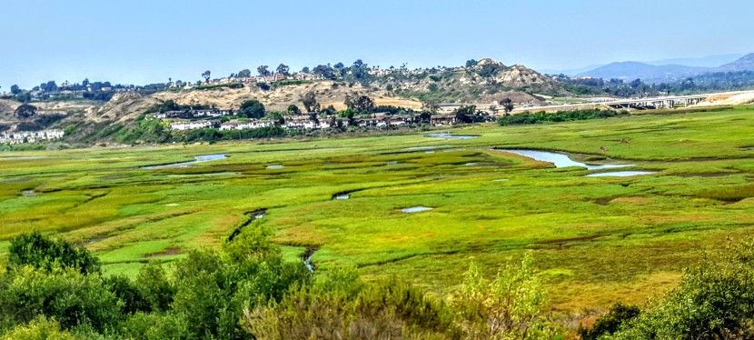
Monserate Mountain is more of a steepish molehill than a mountain. You can hike, bike or run up the trail for a short, steep, incline workout and the reward of expansive views of the mountains (Agua Tibia, Red Mountain, Santa Ana Mountains), farmland in the valley below, and a sliver of Pacific Ocean way out to the west.  I have mixed feeling about this one for reasons detailed below…

History

Monserate Mountain was part of an 13,323-acre Rancho Monserate Mexican Land Grant from 1853 that originally extended south and east of the present day Fallbrook down to the San Luis Rey River.

Pros

If you’re in or near the area, you can get a quick workout here with sweet 360 degree views at the top. Also, I think that it might be the right balance of tough and short for hardy hiker kids who get a feeling of accomplishment from doing something challenging.

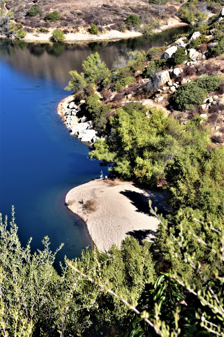
There are a couple offshoot trails on the way up: Canoninta Trail and Red Diamond. I didn’t take those, but once at the top, headed south along a Ridge Trail to the water tank. This was the best part of the hike for me – it faced away from the freeway on a little stretch of single track with views into the valleys below and east across the mountain ridges. The Ridge Trail descends gradually with the help of a short wooden staircase and then drops you out on a paved road. (In the pic below,  I turned around and ran up the staircase for the pure joy of a little more incline.)

Glutton for the incline.
Mountains to the east from the Ridge Trail.


Cons
The barren, dirt trail going up has little to no aesthetic appeal. This trail gets lots of traffic, human and dog (too much I’d say). And I’m afraid it smells like it too. (I have a sensitive schnozz and the trail smelt like dog poop most of the way up.) Also read a review that someone got bitten by a dog twice on this trail.  The roar of the 15 freeway below is also a bit off putting as are the weekend crowds that you have to hike around. (I was so uninspired and turned off by the dog poop smell, I didn’t take any pictures on the way up.) Yes, that bad – but then again, I’m a hiking snob. You’ll see why if you visit some of my other posts.
If you’re in the area, do it. Otherwise, I wouldn’t go too far out of your way for this one.
Distance: 3.2 miles up and back without add ons, or 4.4 mile loop adding on the Ridge Trail loop to the water tank.
Elevation gain /loss: ~1150 feet, moderately strenuous, depending on what shape you’re in. If you’re a trail runner, you’ll like it and you’ll want to add on the Ridge Trail water tank loop.
Terrain: Mostly wide dirt path with rocks and some erosion, some single track, paved road & fire road if you do the 4.4 mile loop.

Discovering Torrey Pines State Park’s Lovely Little Sista: Torrey Pines State Natural Reserve Extension

In many ways, Torrey Pines State Natural Reserve Extension, the quiet younger park outshines her excessively popular, bigger sister. Especially if you like your nature served up with a bit of solitude as I do mine.  This area was acquired in 1970, 11 years after Torrey Pines itself became an official State Park thanks to the work of local conservation groups.

The pros: You still get stellar (though more distant) views of the glimmering Pacific and bedazzling Penasquitos Lagoon (if it’s a clear day) and close-ups of the dramatic red, other-worldy, sculpted, sandstones cliffs and Torrey Pines. Some of the trails are boarding rows of McMansions so you don’t quite escape from suburbia unless you put your blinders on.


The cons: There trails are really short and easy on sandstone or sandy terrain. (Could be considered a pro for some, I know.) Apparently there’s some way to eek out 4 miles, not sure how. You’ll be hard-pressed to get in a workout here – unless you run them quickly. Also, there is no beach access.

When I went there were no trail maps in the box so I just meandered through the network of short trails. You can’t really get lost. If you’re going, you may want to check out the online map first.

To share a “secret” locale or not, that is the question.

I’ve lived in the Sand Diego area for about a decade and had never heard of this area. This spot is relatively quiet and underutilized. Yes, it’s nice to keep it that way so am I betraying it by writing this post? Well, this is part of a State Park, which means it is open to the public and shouldn’t be a secret. So on one hand, I believe it’s appropriate to share the information. And I believe, perhaps naively, that people who love this sort of place will respect it and tread lightly. On the other hand, I’d hate to see it get overrun. (Much controversy surrounds the instagram and  social sharing phenomenon.) Then again, since this place is part of a State Park, I imagine that park officials would intervene as necessary should the area become compromised due to excessive use. Tell me, what’s your opinion of sharing vs. keeping your favorite spots secret?

Warning soapbox

It seems strange that the signs and literature at Torrey Pines State Park don’t make any reference to this area. It almost feels like the Del Mar locals (who may include some of the original conservationists) have played a role in keeping this on down low. Ok, am I approaching conspiracy theory level yet? (I’m just saying it seems awfully convenient that they have managed to keep the trail and the views all to themselves and their dogs.) Dogs, you say? Are they allowed? No, they aren’t and there are “No Dogs” signs posted everywhere. Yet, of the half dozen or so people we ran into, most had their 4-legged companions with them. Not only that, when we started out on the trail a Golden Retriever bounded down from the one of the homes and raced in front of us, eager to guide  us through “his park”. Hey, I’m a dog lover, but there’s a reason they’ve posted no dog signs everywhere, right? Fragile ecosystem, etc…I guess if you live in Del Mar, the rules don’t apply to you. Ok, maybe not all the hikers with dogs were from Del Mar, but chances are…

Getting there: From I-5, take the Del Mar Heights Road exit. Head west on Del Mar Heights Road for approximately half a mile. Turn left onto Mercado Drive, then left onto Cordero Road. Make a right onto Mira Montana Drive and follow it to the end where you’ll find a couple parking spots and a trail head next to Del Mar Heights Elementary School. Parking and entry is free. There are other access points in the neighborhood with ample parking along the street.

Notes

No Dogs (Even though plenty of entitled peeps and pooches were violating this rule.)

No Bikes

Blue Sky Ecological Reserve Hike to Lake Ramona, Poway, CA

Peaceful Blue Sky Ecological Reserve, a 700 acre canyon, is a welcome reprieve from the over-populated Mt. Woodson trail. I’d had enough of the crowds, but not enough of nature and workout so after lunch at a nearby Mexican cantina,  I followed up the Mt. Woodson hike with this one.

Distance: 4.8 RT Difficulty: Moderate ++ It’s all mild and friendly until you get the last half mile’s fierce grade, which is paved. Overall, the terrain itself is easy (fire road primarily) so it’s a great spot for trail running.

Trail advisory: It’s exposed so equip yourself with sunscreen and water rations. Also, you could be sharing the trail with bees, mountain lions, mosquitoes, poison oak, rattlesnakes & ticks (Friendlier potential trail mates include: deer, bobcats, quail, raptors, roadrunners, coyotes, squirrels, rabbits, and bats.)

This slideshow requires JavaScript.

And yes, you can fish at Lake Ramona Reservoir. While bite-friendly, the huge bass population here is comprised of small largemouth because few fisherpeople want to hike up that great big hill. (Did I get enough size comparison in there to make your head spin?) Unfortunately, the bass overpopulation results in their stunted growth. Come on fisher peeps, work for it! You’re missing a beautiful opportunity. Besides, where’s the fun in driving up and parking at Lake Poway?

Lake Ramona was lovely and the reserve was pleasant enough though small. Personally, I wouldn’t go out of my way to get here, but if you’re in the neighborhood – do it.

Mt. Woodson / Potato Chip Rock Hike, Poway, CA

Distance: 7.5             Elevation: 2070 feet

Difficulty: Moderate + (Depends on your fitness level and the weather (heat/sun factor)

No, the featured image is not Potato Chip Rock. It’s some cool unnamed split rock along the top of the  trail with a great view out to the rocky playground below and Lake Romona.

If you’re looking for solitude, you won’t find it here. This is one of the most popular hikes in San Diego because of the iconic Potato Chip Rock and obligatory photo op at the top.

Spoiler alert.

20171119_112900.jpg

The trail starts at Lake Poway and leads you up a fire road for a mile or so before it narrows and steepens.

20171119_101012.jpgDSC_0712

And the answer is yes, you can fish in Lake Poway. Sadly, swimming is not allowed.

DSC_0714
Here’s the scoop

DSC_0707

The view of the lake is lovely from the trail above. You can see how clean and clear the water is.

DSC_0709

The view from the top depends on  how clear of a day it is. Unfortunately, it was a bit hazy, In the picture below, you can make out Point Loma and the Pacific in the distant horizon on the right and the high rises of San Diego to the left of it.

.DSC_0713


20171119_114646.jpg
Another cool spot along the trail – my rock throne

So yes, lots of highlights and a great workout. (I hike fast and made it up in an hour  and 15min – down in 1hour 5.min.) The downhill gets my knees. There were a number of  people using poles. The downside of this hike is way too many humans, but what do you expect from a cool hike near a city? If I ever do it again, I’m going for dawn patrol. The parking lot opens at 6AM for early birds who enjoy more solitude and sunrises.

Because this hike didn’t quite sate my appetite for nature and solitude, after lunch I went up the road to the Blue Sky Ecological Reserve and hiked up to Lake Ramona.

A little slice of something nice: Annie’s Canyon, San Elijo Lagoon Ecological Reserve

If you live in the San Diego area or have visited, you’ve no doubt driven by picturesque San Elijo Lagoon Ecological Reserve countless times via the coast road or the freeway. Perhaps you’ve ventured on trails as well. I have, dozens of times for a run or stroll and I thought I knew all the trails there. (Pretty, but mostly flat and easy fare.) I hadn’t heard about Annie’s Canyon until someone asked me about it. Of course I had to investigate…

But first a couple words about these coastal wetlands. The reserve spans 1000 acres with a total of 7 miles of trails that connect the varied habitats from salt marsh to freshwater marsh areas to coastal sage and chaparral. Wedged between the freeway and the coast highway and surrounded on all sides by Solana Beach, Cardiff and Rancho Santa Fe, the lagoon remains home to more than 1,000 species of plants and animals – many endangered. Despite all the encroachment, it’s still a nice spot to savor nature and take in lagoon and ocean views.

Now for the unexpected delight of Annie’s Canyon. After a short, easy, less than mile hike to the canyon (look for signs), you’ll find yourself transported to a miniature canyon-land experience. Sure doesn’t feel like Southern California anymore, more like the slot canyons of Utah or Arizona. While it’s narrow, footing is fairly easy and there’s a steel ladder at the very top. Nothing treacherous here – just fun. It’s a super quickie (5 minutes), but super cool. What a great place to take young kids for a mini adventure with a little supervision and assistance. I know this kid at heart had some fun.

This slideshow requires JavaScript.

The view from the top. And no, it’s not a nudist colony, my hottie BF is wearing pants. ; )


Notes

Dog friendly in the lagoon – not so much for the canyon unless, they are trick pups trained to go up narrow steel ladders

No bikes

There’s a bunch of construction underway as part of the highway and rail improvements program in the North Coast Corridor. Click here for trail closure updates before you go.

Apparently this spot was previously vandalized and closed and has only recently reopened, which explains why I didn’t know about it. Please enjoy, respect and protect the nature around you.

Location

There are a number of entrances to the lagoon. Here’s ine

Solana Hills trail head address is 450 Solana Hills Drive, Solana Beach. From I-5, take the Lomas Santa Fe Drive exit (exit 37) West. At 0.2 mile  turn right onto Solana Hills Drive for 0.3 mile. Park along the dead end street. There’s also a great nature center on the Cardiff-by-the-Sea side, which is quite nice and you can rent it for private events.