Elevation Gain: ~2,800 FT (Evenly distributed across the 3.5 miles.)
Difficulty: Moderate +/-, depending upon your fitness level
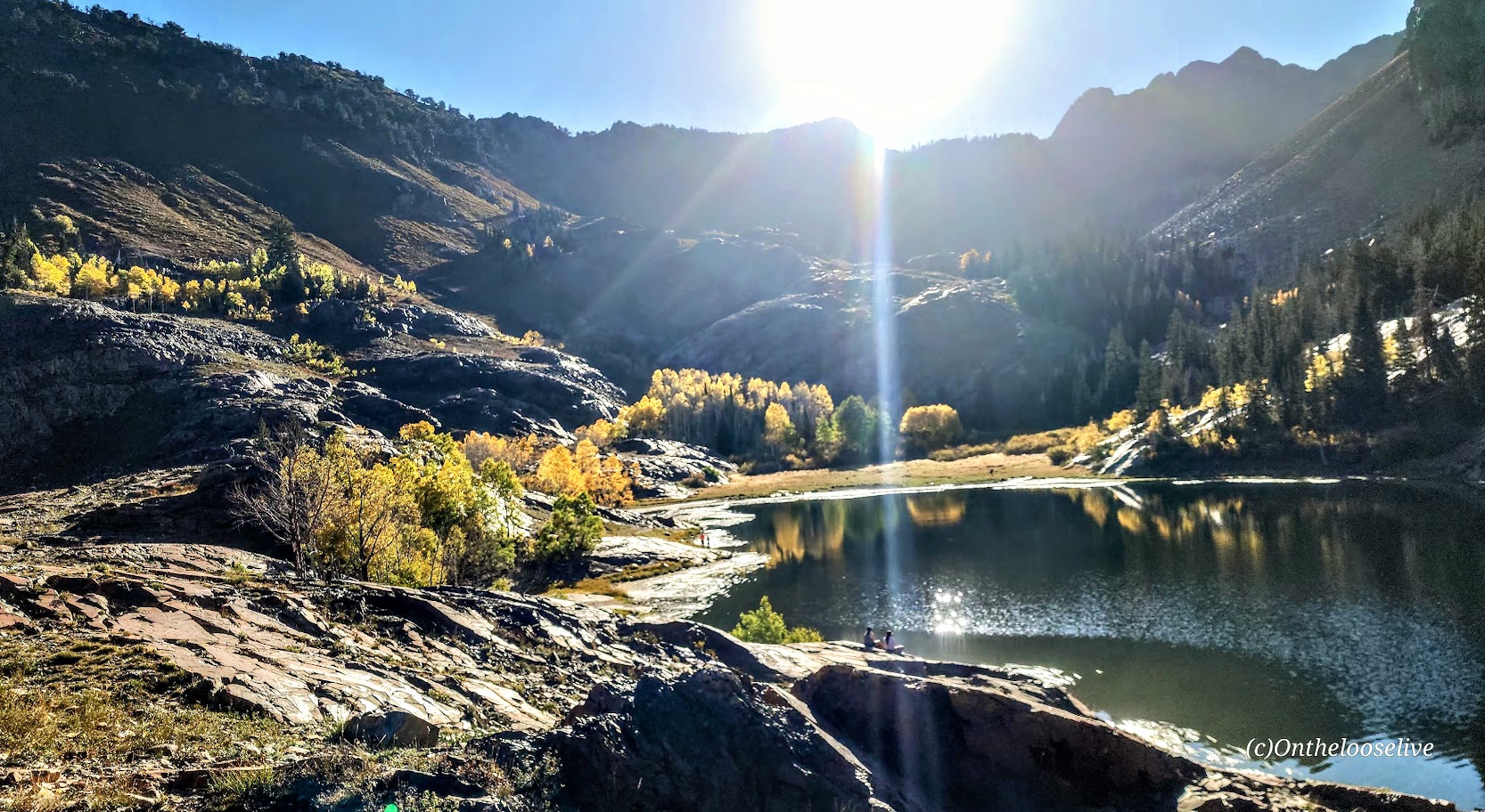
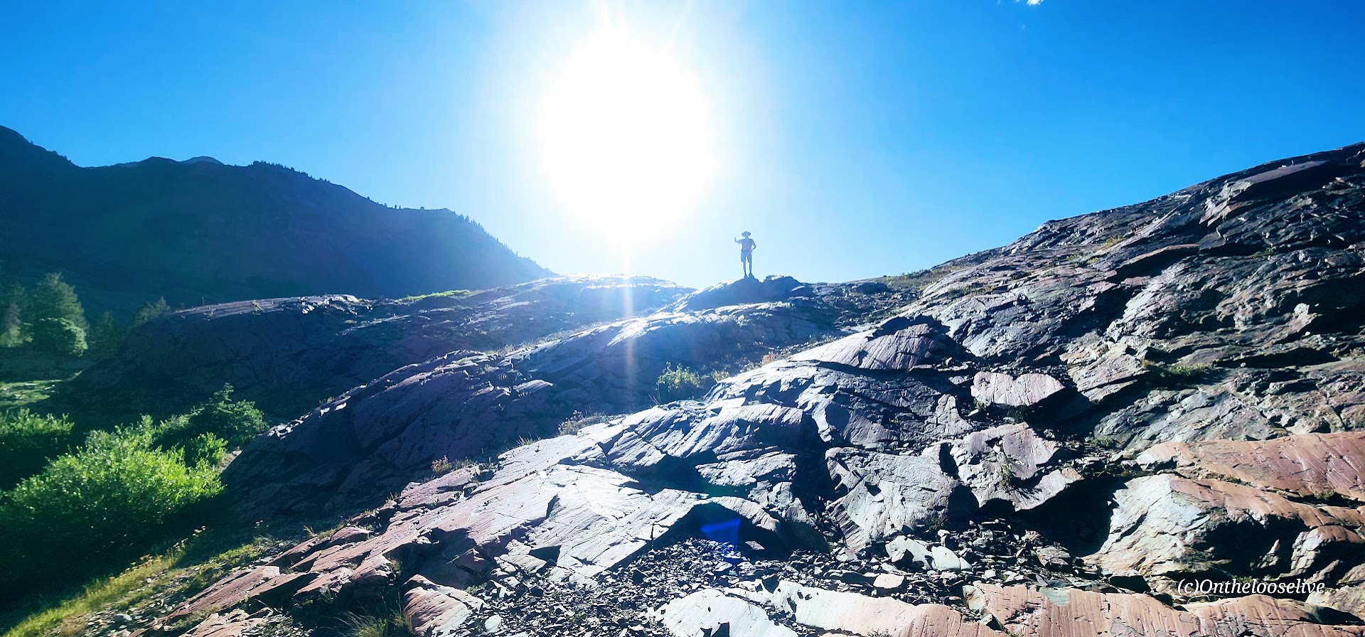
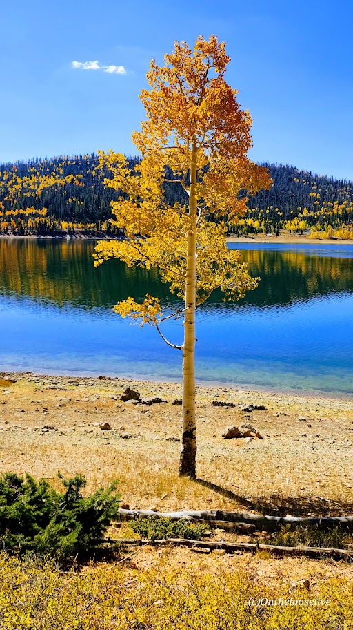
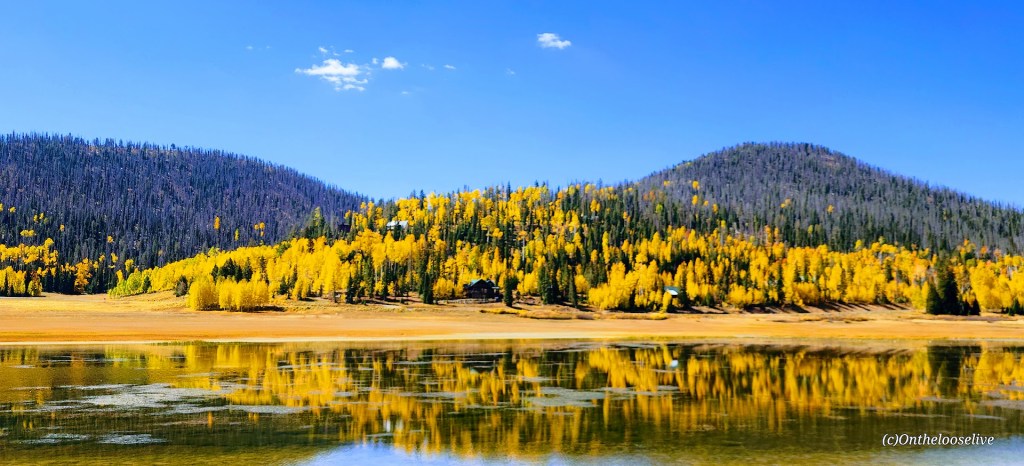
Known as one of the best hikes in the Twin Peaks Wilderness Area, Lovely Lake Blanche, with its dramatic granite spire backdrop (Sundial Peak), has an allure of its own. Hence, its well-documented, high-profile social media status and popularity.
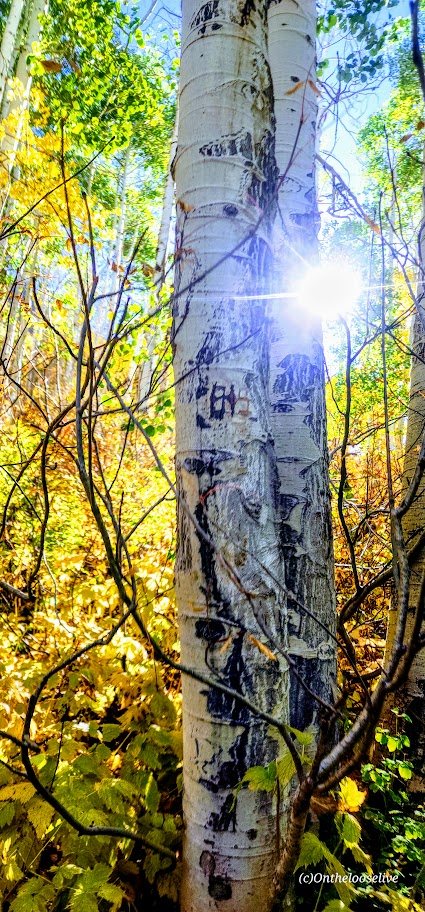
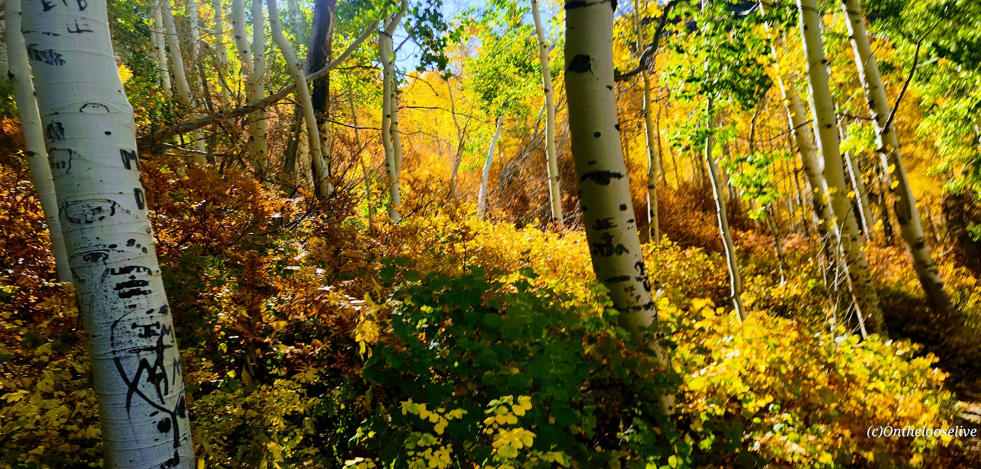
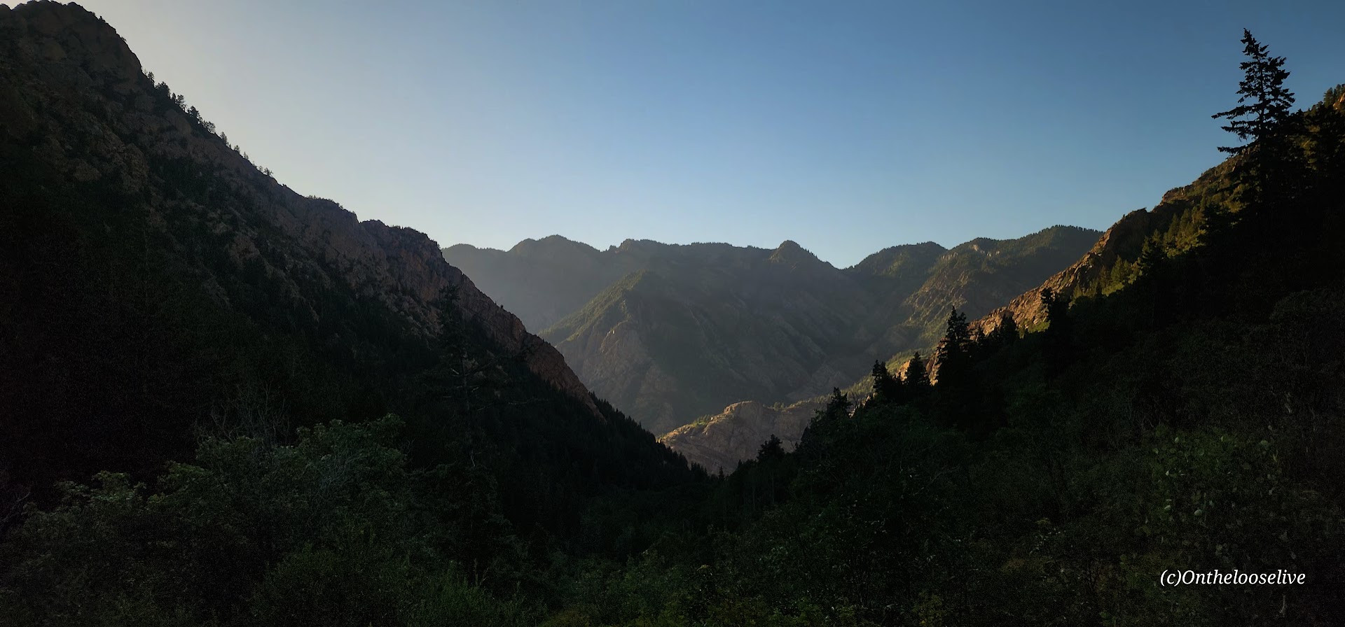
Begin your hike along the rushing creek on your left and make your first right onto the Lake Blanche Trail. The climb is gradual and consistent, with colorful foliage (in the Fall) and peak-a-boo, foreshadowing views of Sundial Peak up ahead and down the canyon to the Great Salt Lake Valley to the West. I kept waiting for the climb to get steeper as I’d read reports that this hike was “challenging.” Perhaps I was just transfixed by the scenery, as you’ll see why.
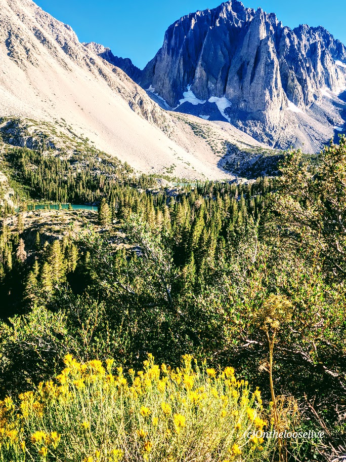
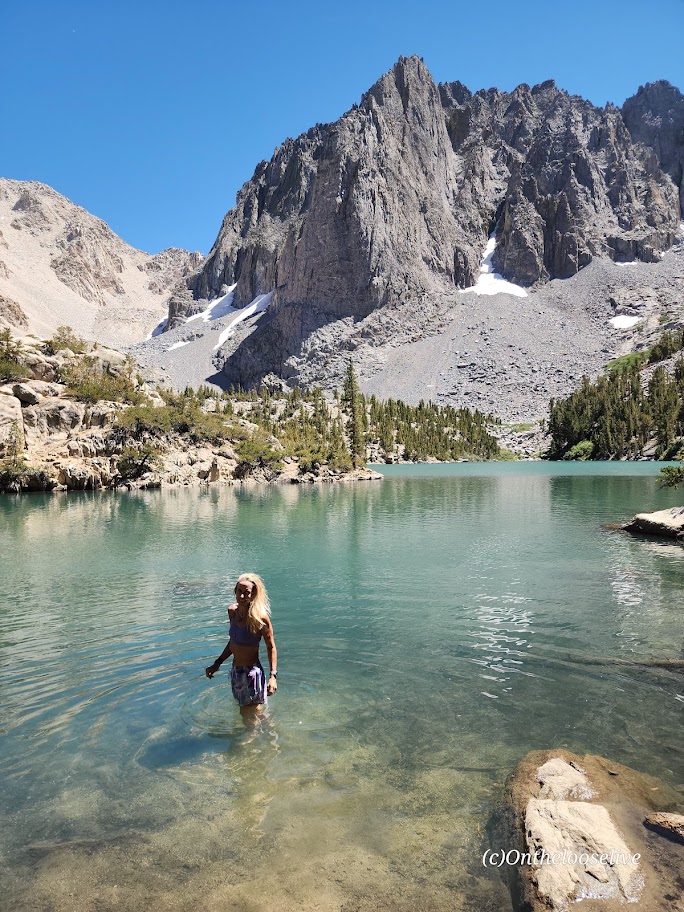
Lake Blanche and its smaller sister lakes, Florence and Lillian, sit at 8,888 feet. The lakes were a bit low but still high on the beauty scale. While it’s a popular hike, there’s plenty of room to find your zen once you reach the lakes. Just keep strolling past Lake Blanche, where most people seem to congregate.
There’s an off-trail hike up Sundial Peak; I’ll have to try it next. Unfortunately, I didn’t have time this time.
I revisited in late July and just missed the wildflowers! Must go earlier next year. This time, I was running short on daylight, so off-trail exploration is still to come.
Directions: Take Big Cottonwood Canyon Road to the Mill B South Fork Trailhead. The parking lot fills FAST as in FULL at 7 AM on a Saturday.) Parking is allowed along the road, but that fills quickly, too!
Notes: Unfortunately, dogs and swimming aren’t allowed due to the area being a protected watershed.
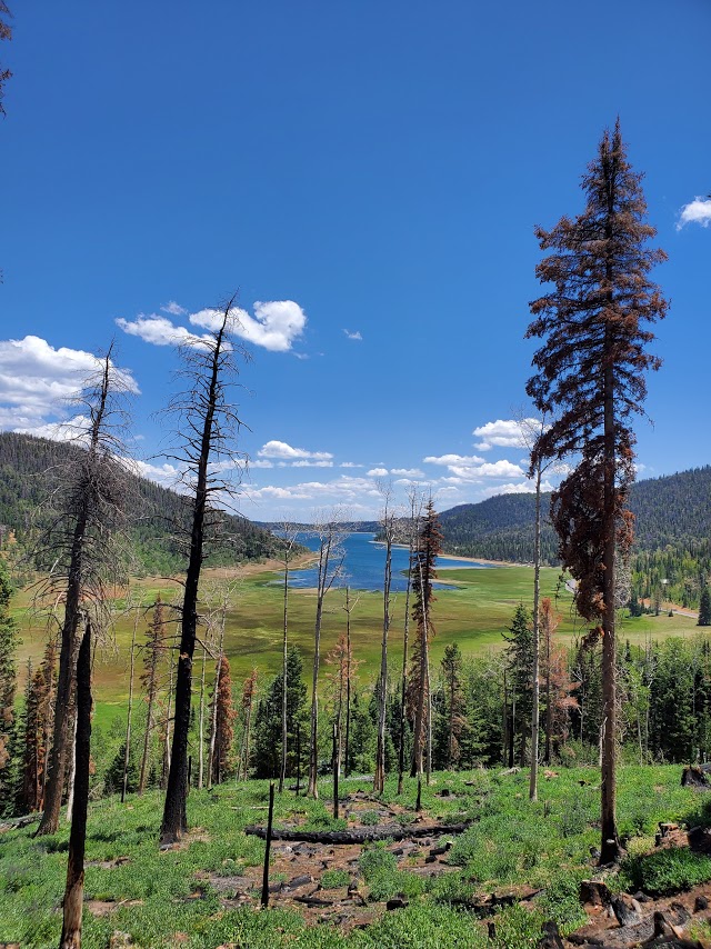
Rats, all the scenery is too “grand” to fit in the featured photo. Please excuse the rough edit.
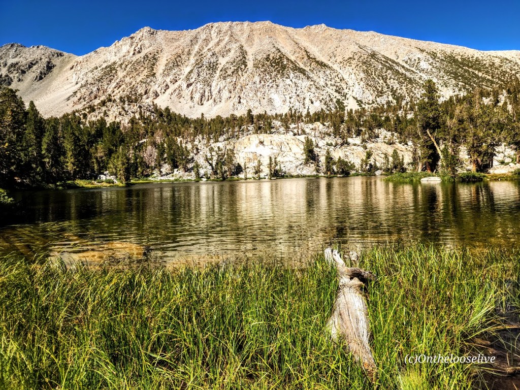
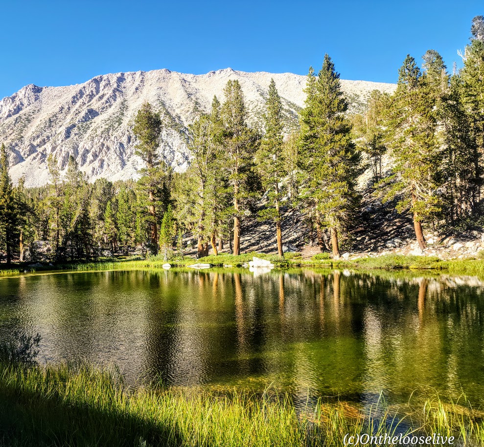
My route: Up the Big Pine Lakes North Fork Trail (Lakes 1-7 with the spur to Summit Lake), and down via the Black Lake Trail
Length: ~15.5 Miles
Elevation Gain: 3,986 ft
Difficulty: Depends on your fitness level and how far you go; while the elevation gain is gradual, it is significant, constant, and at altitude.
Trail Quality: Excellent, trail runnable! Well-marked and easy to follow!
This trail was a long unrequited love of mine. While I initially explored the area on two occasions decades ago, I never made it to all 1-7 numbered Lakes and Summit Lake and Black Lake until now. I fell in love all over again. It was even more stunning than I remembered.
Take 1
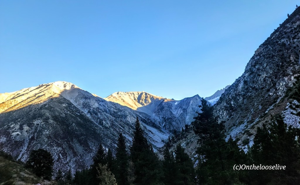
My first ill-fated overnight trip to the Big Pine North Fork Trail resulted in my hiking companion Chip getting altitude sickness and us having to make a hasty retreat. (Of course, we’d done everything you’re not supposed to do – we drove up from sea level to the trailhead at 7,660, charged up the trail 4 miles (gaining ~2k+elevation) to set up the tent near stunning Lake 2 before dark. With no time to eat dinner, we’d munched on fresh rosemary bread on the way up. Once we had the tent up, Chip became violently ill, vomiting multiple times. Meanwhile, his dog Chatz was becoming agitated- hair standing up, growling – this is bear country. I remember worrying about an apple I had in the tent; at the time, I didn’t realize that Chip was creating a bear smorgasbord outside. As Chip became sicker, it became obvious we had to abort our overnighter. It was dire enough that we thought about leaving the tent behind. There were no other hikers or campers around. I wondered how I would manage if I needed to carry Chip down. I worried that Chatz was going to have a run-in with a bear. Luckily, we all made it down the trail safely. As for Chip, predictably, he began to feel slowly but progressively better on the descent and was almost 100% within an hour of driving down from the trailhead. Since then, he has had an aversion to rosemary bread and higher altitudes. Despite being concerned about Chip’s well-being as marched down the trail with our headlamps, I recall being transfixed by the stark, ragged granite peaks glistening in the moonlight, the silence, and stillness. I vowed to return.
Take 2
When I returned a decade or so later, no idea what took me so long, I came with a mountain biking buddy who wanted to charge up the trail to the Palisade Glacier (the largest glacier in the Eastern Sierra). The trail spur to reach the glacier is about a 1/2 mile beyond Third Lake. Given that we prioritized the Palisade Glacier as our day hike destination (19 miles with 4,646 ft of elevation gain) and didn’t get an early start, we barely had time to nod to the 3 spectacular lakes we “ran” by on the way up and down. (If you know me, you know I’m more of an alpine lake person than a glacier person.) Once again, I vowed to return to immerse myself in those lakes’ beauty.
Take 3
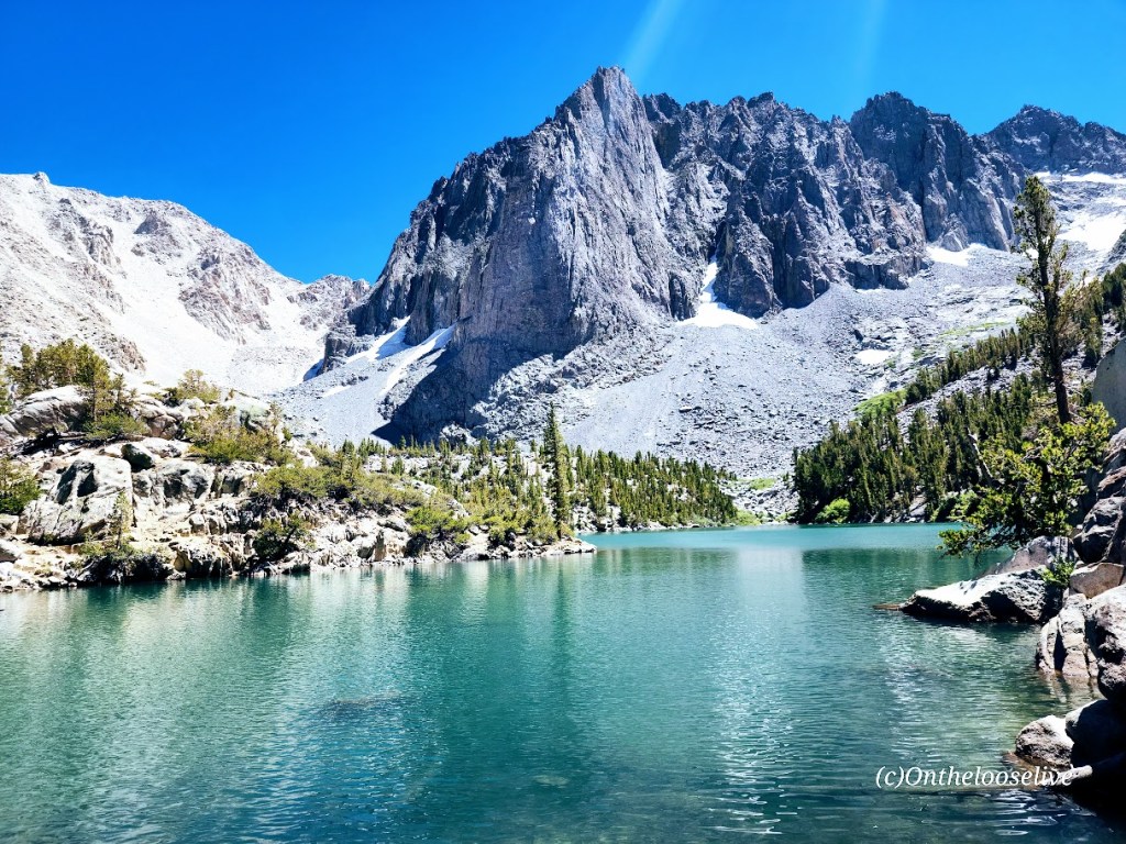
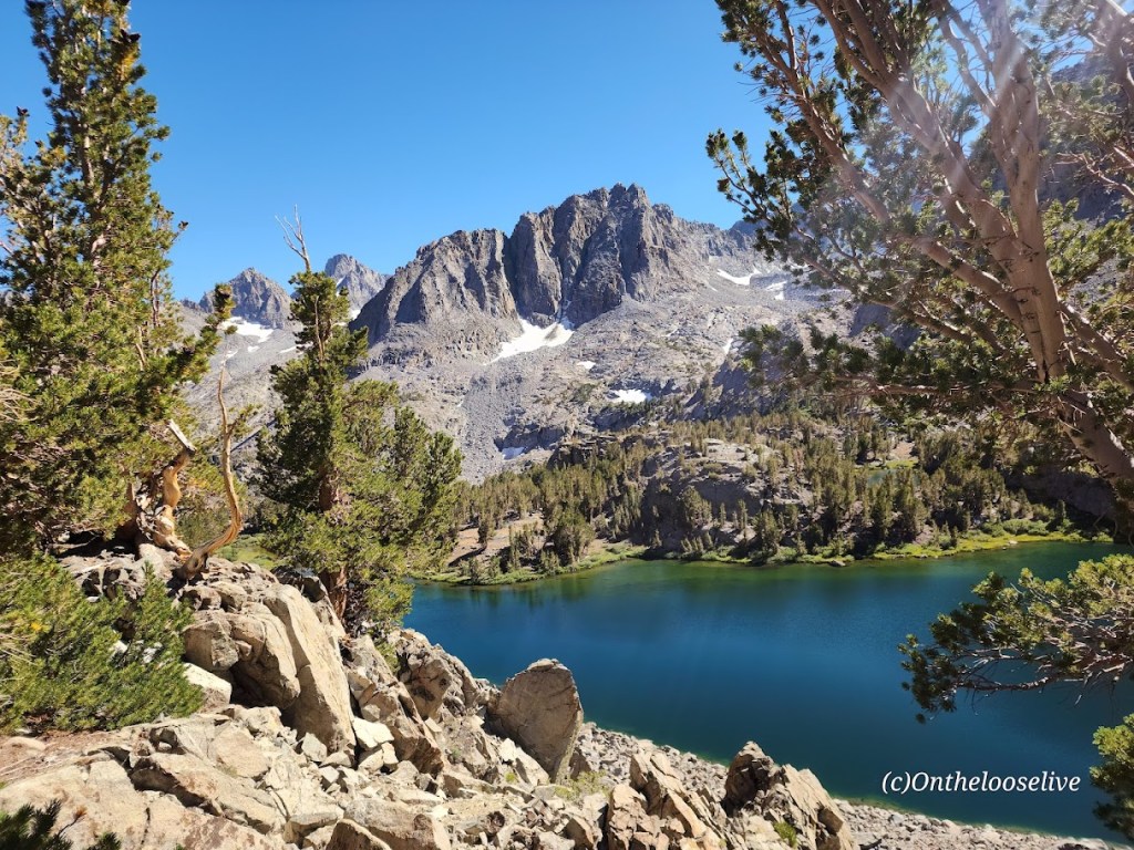
Over a decade later (again, I have no idea what took me so long), I returned with my hiking buddy and expert back-country guide, Colin, the most earnest person I know about getting the most out of every hike. And this was no exception. We hit EVERY numbered alpine lake (1-7) plus Summit Lake and Black Lake, with ample time to bliss out at each.
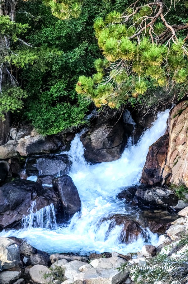
How had I forgotten about the mesmerizing trailside rushing rapids and waterfalls of Big Pine Creek? I’m guessing there must not have been much snowmelt when I went previously.
I’m not going to number the lakes for you. You need to go discover them one by one for yourself. Here’s a sampling:
If you fish, you might get as lucky as the fellow who caught and released this big beauty.
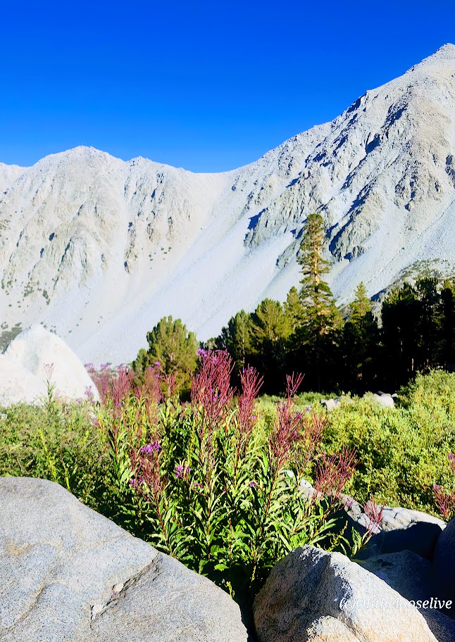
On the Black Lake trail down, we were treated to patches of colorful wildflowers and breathtaking views of the lakes from above.
And there was also time for my yoga pose photobombing and blissful immersion! I vow to return before another decade passes!
And so the sun must set on even the most beloved adventure so another one can begin.
Happy Trails!
Tell me, what trails have you fallen in love with, and do you long to return to?
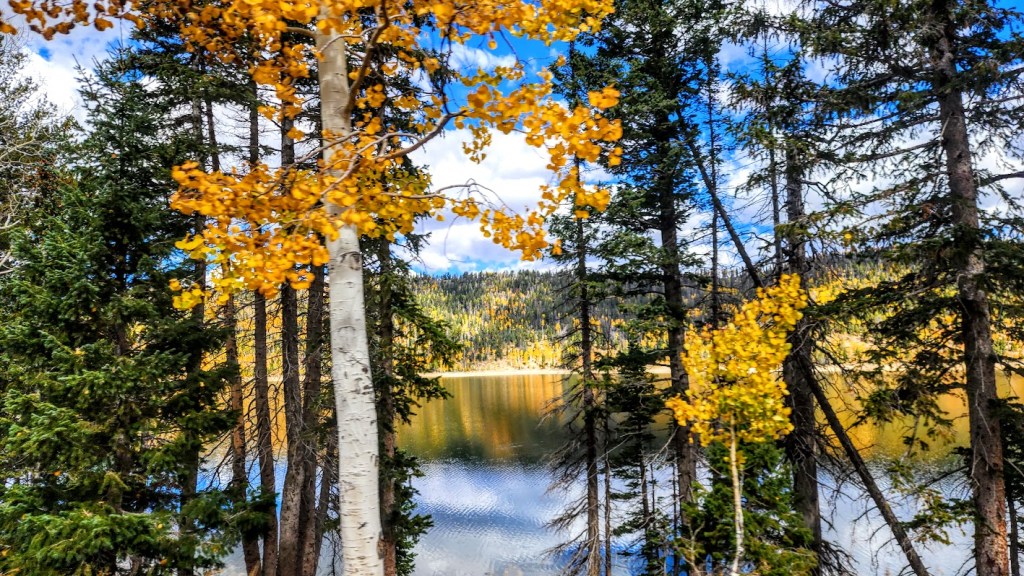
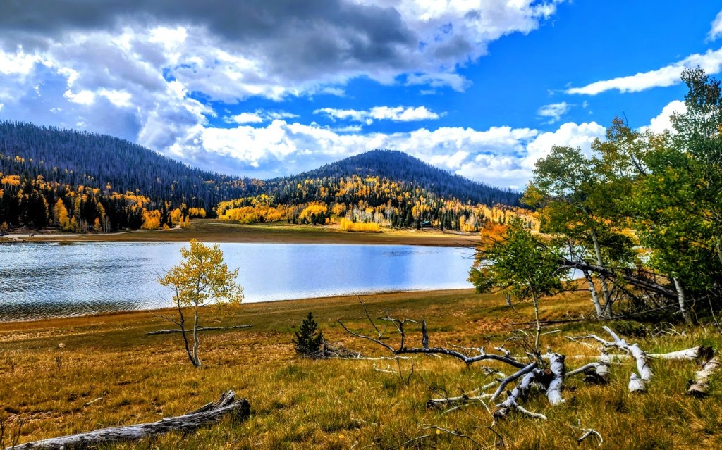
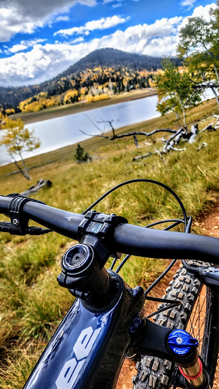
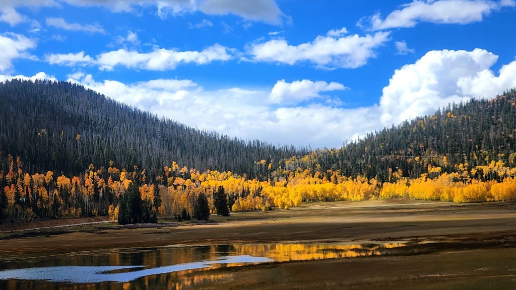
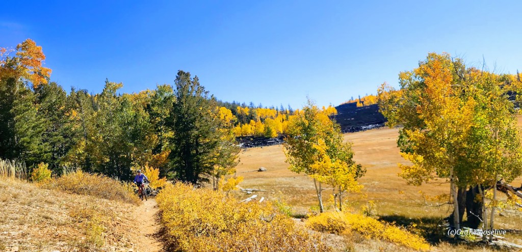
I don’t tend to throw the word epic around much, though I have been on some epic mountain bike rides – Tahoe’s Flume Trail, Lake Crescent’s Spruce Railroad Trail, and while not epic per se, that little gem, Diamond Valley Lake was quite lovely too. Fond memories of those rides were stirred up by my ride today on the Navajo Lake Trail. As you can see, Navajo Lake and the surrounding area are dazzling in the Fall. It’s quite sweet in the Summer too, a great spot to escape the heat of St. George as it’s usually at least 10 degrees cooler.
It’s a sweet, highly scenic, nontechnical single-track cruise via the Navajo Lake Loop Trail and the Virgin River Rim Trail, aka the other half of the Navajo Lake Loop Trail. Great for mountain biking, trail running, or hiking.
Interesting fact: The lake was created when a lava flow dammed the eastern end of the valley.
Distance:11 Miles
Staring elevation: 9,035′
Elevation gain: 827 ft
Navajo Lake Summer vibes – View from the Rim Trail section
Winter vibes—taken from a hill above Deer Valley cross country and snowshoe area.
Getting there: From Cedar City go east on Scenic Byway SR 14, 25 miles to the Navajo Lake road turnoff and keep your eyes open for the Navajo Lake Loop Trailhead parking sign on the right side of the road. It’s free to park.
Ps. There are campgrounds, and fishing, boating, and swimming are allowed.
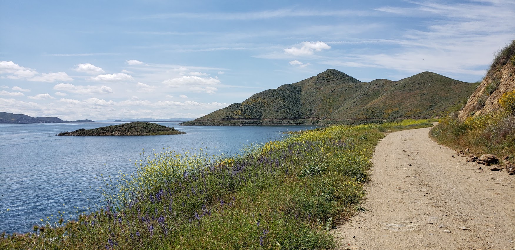
Cruising the 21.8 mile Lakeview trail around Diamond Valley reservoir on mountain bike during the wildflower super bloom last weekend was a delight. It’s a flat, family-friendly fire-road with lake and snow -capped mountain views that don’t disappoint. Yes, this was seeing it dressed in its wildflower season best. And no, you probably won’t want to do it in the blazing heat of the summer as it’s all exposed. But it’s just right, right now – for running, hiking, biking, boating, and fishing. (It’s stocked with rainbow trout, large mouth bass, striped bass, bluegill, small mouth bass – catch and release only though.)
Lupine Filter
Lupine Filter
Poppy Filter
How many places can you take a scenic, peaceful 21 mile bike ride and have it virtually all to yourself on a weekend? Ok, Catalina, but where else? (Granted the little wildflower hike was much busier, but less by the time I was done with my mountain bike ride.)
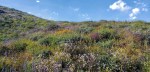
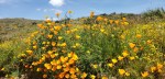
Mellow yellow wildflower extravaganza
Birds, bees, wildflowers and snow capped mountains
Here’s your wildflower sampling: Poppies, Arroyo Lupine, California Goldfields, Brittlebush, Owl’s Clover, Canterbury Bells, Chia, Baby Blue Eyes, and more!
Did I mention to be on the lookout for rattlesnakes?
[Rattlesnake video courtesy of Ken Wells.]
Fee: $10 per car, $3 per person for trail entry – worth it.
Getting there:
The entrance to Diamond Valley Lake is off of Domenigoni Parkway, which connects with Highway 79 on the west side of the lake and State Street on the east. You can take State Street south from Highway 74 in Hemet.
Mileage and Driving Times to Diamond Valley Lake
Miles
Hours
Mins.
Anaheim
77
1
24
Los Angeles
93
1
37
Pomona
63
1
10
Riverside
40
0
48
San Diego
87
1
34
Santa Barbara
188
3
06
Can’t get enough of the California Wildflower Superbloom 2019? Neither can I. Check out my Walker Canyon and Denk Mountain posts.
Just a stones throw from downtown Prescott (an easy 6 mile drive), Granite Basin is a gorgeous section of the Prescott National Forest. Here, you can choose from more than a half dozen hikes.
Normally, I’d opt for the higher ground and head up Little Granite Mountain, but the day I visited was a scorcher. I chose an easy out and back on one of the lower creek-side trails, hoping that the ponderosa pines would shelter me from the blazing sun. Even with the shade, it was still HOT, too hot for hiking. And since I’d already beat myself up on the mountain bike at Goldwater Lake that morning, my mojo was a bit sapped too.
Granite Basin is home to a wide variety of wildlife, including snakes, lizards, coyotes, foxes, mountain lions. I didn’t see any of these critters most likely because they were all in siesta mode as I probably should have been too. Thinking back on it, a hammock under a shady tree by the lake with a refreshing beverage would have been made for an idyllic afternoon.
It was a pleasant hike, but not particularly scenic per se, except for the start and finish at stunning Granite Basin Lake. And I must say, it’s a bit tortuous on a hot day to look at a beautiful lake and be prohibited from jumping in it. Guess that’s mostly the case in Arizonia…Bummer, I guess you can’t have everything. I did spend some time on this hike day dreaming or hallucinating (not sure which) about my Eastern Sierra’s splash in Valentine Lake.
I’d like to come back to this area sometime when it’s cooler to explore some more and take in the views from Little Granite Mountain. And next time, maybe I’ll bring a hammock for that post-hike siesta too.