Climbing Corkscrew Peak, Death Valley National Park, CA

Distance: ~8 miles

Elevation gain: ~3,360 ft

Difficulty: Moderate to strenuous, depending upon your fitness level (3k ft climb in ~2 miles). Class 2.

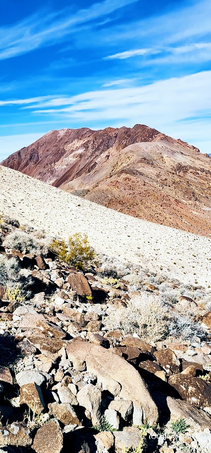
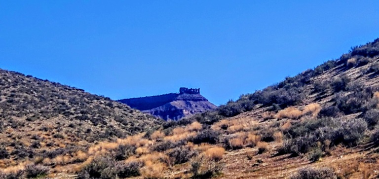
Corkscrew Peak (5,804 ft) is the imposing sentinel in the Grapevine Mountains of northern Death Valley National Park. It looks intimidating from afar and upon the approach, but the trail isn’t bad, and it’s a great workout. Definitely one of the most unique peaks I’ve seen.

Speaking of trails, the first portion requires some route finding. Head West from the Corkscrew Peak sign and follow the wide wash towards the peak. The route is cairned, gentle, and gradual, leading you to a narrow canyon area at about the 2-mile mark. Here, you’ll scramble up and out of the wash on the left. You’ll climb the spiraling rocky trail for the next 2 miles. Watch your footing, as there are many spots of loose gravel. All told you’ll be climbing 3,360 feet to the top—most of it packed into a somewhat intense 2 miles.

Right before you reach the top, there’s a cool natural window, a nice spot to return to enjoy a snack, and the view before the steep, slippery descent.

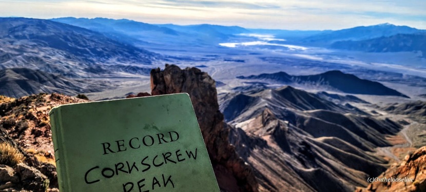
From the top, you’ll enjoy splendid views of Death Valley and surrounding peaks, including Langley, Whitney, and Telescope. You can also document your peak bag in the summit record, which is in a metal container wedged between some rocks at the top.

Getting there:

From the Visitors Center at Furnace Creek, drive ~ 11 miles N on State Highway 190 to the signed, paved Daylight Pass Cutoff Road toward Beatty, NV. Turn right and follow this road 10 miles to a signed road fork at Hell’s Gate. Go right onto Daylight Pass Road and drive 0.9 miles. Park on the dirt shoulder.

Notes: The initial section of the trail is a wide wash north of the road. The trail is slippery in sections with loose gravel “marbles; choose hiking or trail running shoes with the best traction. Some recommend poles for the way down. Personally, I do better on slippery downhill if my hands are free. It’s possible to trail run up, but be cautious on the way down.

Happy Trails!
Spur Cross Ranch Conservation Area, Cave Creek, AZ

Distance: You choose ~2 miles to 19.7 miles

Difficulty: Easy to moderate, varies depending on the trail(s) chosen, length, and your fitness level

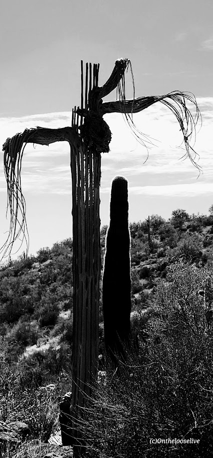
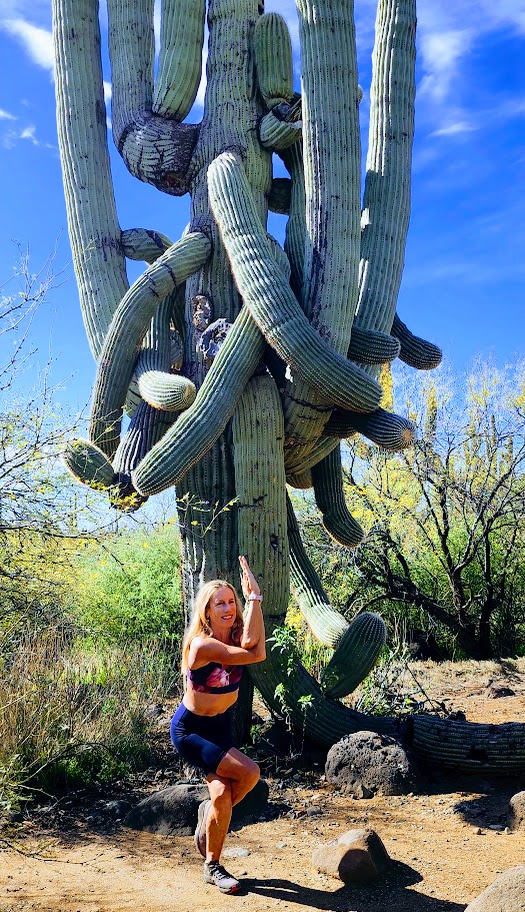
If you’re in the Scottsdale area and have time for a field trip, I highly recommend an excursion to Cave Creek. Hike the Spur Cross Ranch Conservation Area and enjoy the Saguaro “forest”, refreshing shaded creek-side trail, and if you keep your eyes open, you may get lucky and spot some petroglyphs too.

Choose your own adventure from 16 hiking and equestrian trails in this 2,154-acre area. My friend and I combined a couple of trails (Spur Crossing, Tortuga, and Dragonfly) for ~8 miles with ~1k of climbing. The terrain is mostly run-friendly.

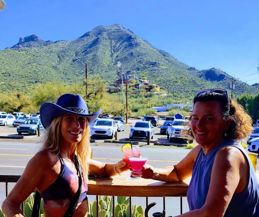
After your adventure, head to town to quench your thirst, refuel, and shop in this blended authentic/tourist trap Western town that was settled in 1870.

Getting there: 29 miles from Scottsdale, via AZ-101 Loop N and N Scottsdale Rd44000 N Spur Cross Rd, Cave Creek, AZ 85331

Notes: Spur Cross Ranch Conservation Area $3 per person fee. Picnic tables and port-a-potties are available at the trailhead parking area.

We all scream for ice cream at the City Creamery

I had the best ice cream of my life at The City Creamery, home of handmade, small-batch ice cream in 16 favorites varieties and exotic seasonal flavors. (I’m not that much of an ice cream monger, but oh, my—delicious, chocolate infused with orange!) Also, their scoop portions are HUGE. However, I did manage to eat it all.

Happy trails!

Cheers from Stumbalina’s Cantina!

Dazzling Panoramic Scenery: Dante’s View to Mt. Perry Hike plus Badwater Basin Bonus!

Distance: ~8 Miles

Elevation Gain: ~2,346ft

Difficulty: Strenuous to moderate, depending on your fitness level. Trail runnable until you reach the top scree and talus portion.

The unofficial trail begins at the north end of the Dantes View parking lot. The unmarked single-track rim trail climbs and descends different ridges eventually leading to the peak of Mt. Perry (5,378 ft). The vast views in every direction are enchanting—across the valley to snow-capped Telescope Peak and down to the mesmerizing turquoise, emerald waters of Badwater Basin below.

Towards the peak, the loose scree and talus field get gnarly and may require a “4 on the floor”(hands and feet) approach. There’s no shame in stopping short if the rugged terrain becomes too disagreeable—the view is spectacular all along the way and at any of 3 false summits.

If you don’t have time to hike, Dante’s View is worth the drive up, especially at sunrise or sunset.

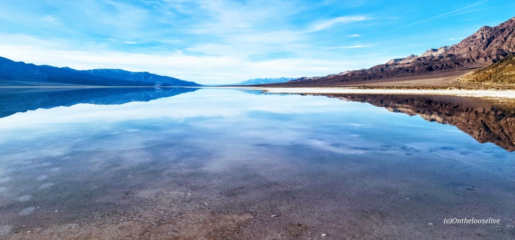
A once-in-a-lifetime opportunity to see Lake Manly/ Badwater Basin with water!

Whether you drive by it or up to Dante’s for the bird’s eye view, you must visit Badwater Basin, especially now! The lowest point in North America and the United States, Badwater Basin, an expansive salt flat, is the remnant of a vast and deep (600 ft deep) ancient lake that existed tens of thousands of years ago. During the past six months, thanks to the recent record-setting “atmospheric rivers,” the ancient  “lake” has resurfaced into a 6-mile by 3-mile shallow (1 ft deep) “lake”. With warmer temperatures around the corner, the lake will evaporate before long, leaving only the vast, barren salt flat. For those lucky enough to see Lake Manly with water, that ephemeral glimmering experience will remain imprinted like a mirage flickering in our memories (and captured in our photos).

Happy Trails!

Couldn’t resist the once-in-a-lifetime yogi pose reflection photoshoot at Badwater!

Getting there: Dante’s View is a ~45-minute drive from Furnace Creek. Take the main Highway 190 route SE for 11 miles. Pass Zabriskie’s Point and turn right on Dante’s View Road (13 miles). Badwater Basin is a 17-mile drive from Furnace Creek via the 190, turn right on Badwater Basin Road.

Hike smart: Dante’s View to Mt. Perry is completely exposed. Summer hiking after 10AM is not recommended.

Zooming around the Zabriskie Point Loop, Death Valley National Park

Miles: ~7, options for additional explorations along the way in Gower Gulch, Gold Canyon, and Red Cathedral. You can also take the shorter, easier Badlands Loop (2.5 miles) for a quick immersion. If you’re not up for a hike, you can take the ¼ mile walk up a hill on a paved path to the lookout.

Elevation gain: 827 ft

Difficulty: Easy to moderate, depending on your fitness level. The trail is “runnable” when crowds are light.

Rated # 3 top hike in Death Valley National Park.

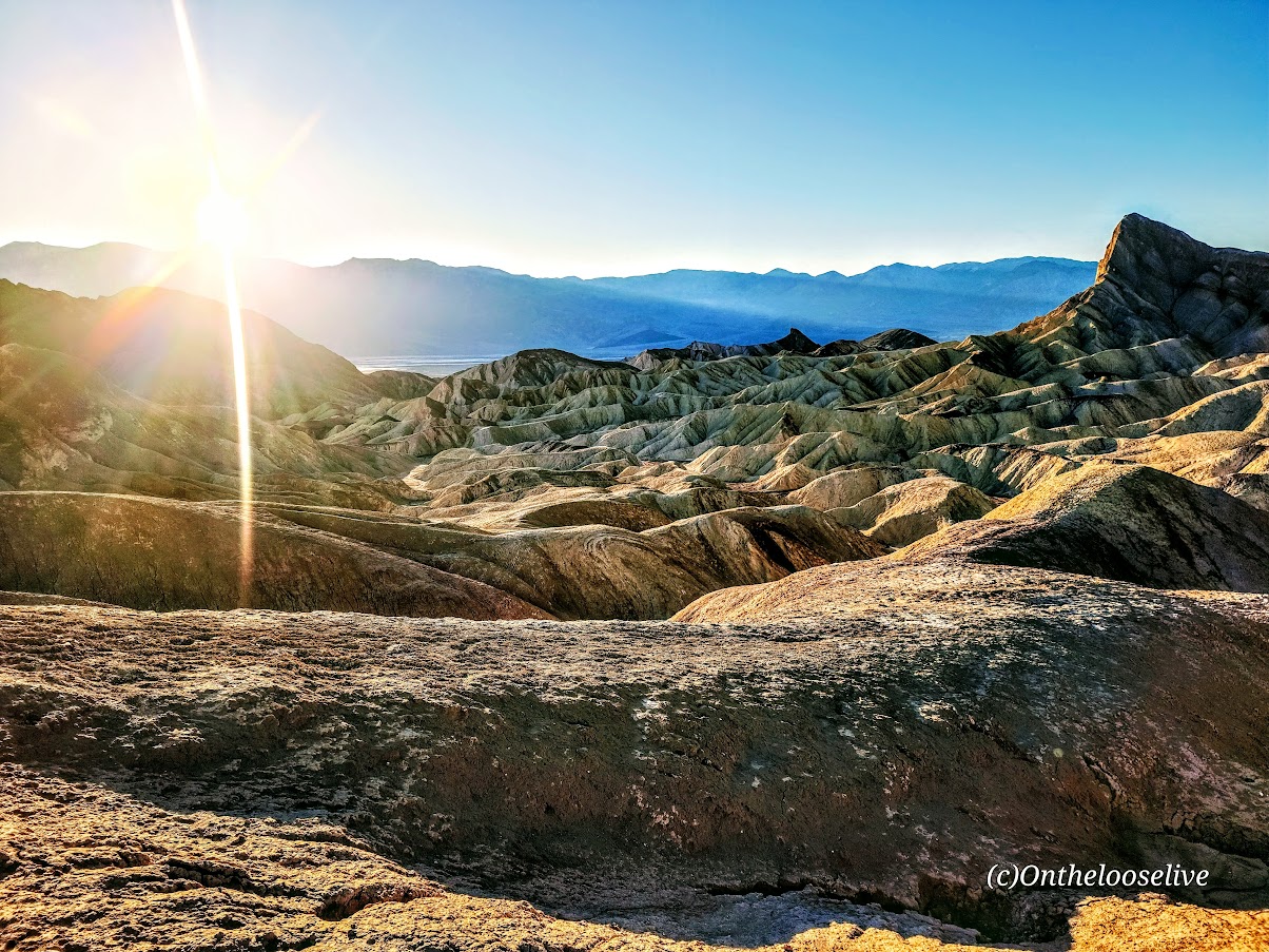
Among the most photographed spots in Death Valley National Park, Zabriskie Point boasts expansive views of yellow and brown striped hills, the badlands and salt flats beyond, and the Eastern Sierras in the far distance. Great for sunrise and sunset pics! I got there just before sunset so made it a fast zoom around. I’ve explored Golden Gulch before that’s worth it too!

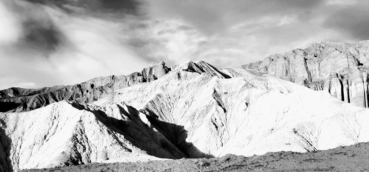
The dance of light and shadow on the stark dramatic landscape is compelling in color and black and white. It’s obvious why this area was one of Ansel Adam’s favorite photography playgrounds.

If you look closely at the picture on the right above, you can see the trail tracing its way up to the ridge.

Fun Fact: Death Valley is the hottest place on earth and the lowest, driest place in North America.

Getting there: The Zabriskie Point lookout and trailhead parking lot for both Badlands and the Zabriskie loop is a 15-minute drive East on Highway 190 from Furnace Creek Visitor Center.

Happy Trails!

Exploring the Hurricane Rim and Canal Trail, Hurricane, UT

Distance: Your choice— 1 to 21 miles

Elevation gain: ~1,437 (There’s a gradual ascent in the first 2 miles or so and rollers beyond. If you go down to the Canal, you’ll have the return climb.)

Terrain: Single track (A few areas of “exposure” –other than those, generally great for trail running and mountain biking, except as noted on the trail – beware “The Drop”.)

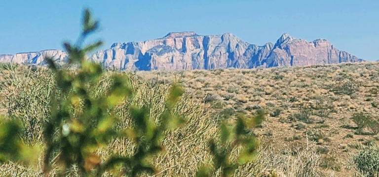
The views are spectacular on this trail—stretching out to ZION and dropping down to the Canal below. Just over a mile into the Rim Trail, you’ll come to aptly named Panorama Point. Here, you’re standing on the Hurricane Fault, one of the longest earthquake faults in the world. Before you, the expansive western edge of the Colorado Plateau and the convergence of the Basin, Range, and the Mojave Desert. The Kaibab limestone cliffs date back to the Paleozoic era when the ocean submerged the area.

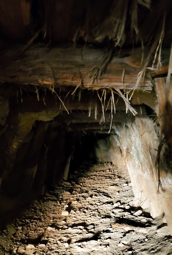
At about mile 2.4, you’ll reach a junction to go down the Canal Trail or continue on the rim. I took the Canal Trail about 3.25 miles down and explored around there. There are many discoveries to be made along the way, including tunnels, historical remnants, and hot springs. (Unfortunately, the latter are now behind posted No Trespassing signs.)

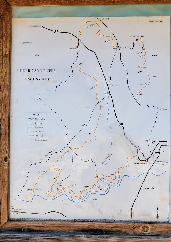
There are a couple of options to explore here by foot or by mountain bike. There’s a sign at the trailhead with the details that I’ve summarized below. Hikers and bikers may find it somewhat disconcerting/comforting that the hospital emergency phone number is listed at the top of the sign.

HURRICANE CLIFFS TRAIL SYSTEM

Bowery Trail One-mile round trip hike that follows the Canal, going over a flume and through a tunnel. (Not exactly sure where this one starts.)

Historic Hurricane CANAL TRAIL Traverse from the Hurricane Hill Trailhead to Virgin Dam Trailhead – 5.2 miles one way. The first 2 miles are rated moderate. The last 3.2 miles are rated strenuous.

Mountain Biking the 21-mile “LOOP”

Canal/Rim Trail (first 1.8 miles), Rim Trail, Jem Trail, Goulds Trail, and Goulds Rim Trail. The “LOOP” route is typically ridden counter-clockwise. For a shorter ride of your choosing, you can opt to do an out and back or arrange a car shuttle.

Notes: Horseback riding is permitted from Virgin Dam Rim Trail to Chinatown Wash and on the Gould’s Rim Trail. This hike is exposed –spring, fall, & winter are probably preferable to hiking here in the summer heat.

Getting there: Go south about a mile on US-59 up the hill above Hurricane City. The Hurricane Rim trailhead parking area is on your left and marked by several cell phone towers.

Happy Trails!

Ps. I know some time has passed since my last post. I’ve been caught up in my adventures and have some serious catching up to do on my posts. Stay tuned and thanks for visiting.