Take the Road Less Traveled: Mountain Biking the High Point Truck Trail (FSR 8S05)

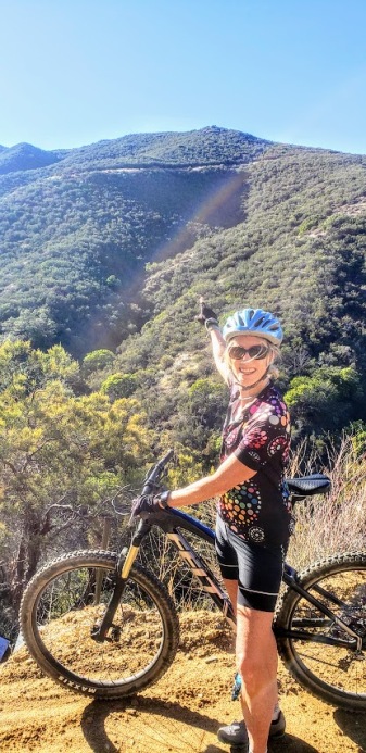
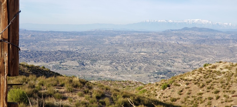
Bike up the backside of Palomar Mountain. Get a great workout while enjoying some solitude and splendid views of the San Diego back country, including Vail Lake and numerous snow-capped peaks (Thomas Mountain, San Jacinto, and San Gorgonio). This is nontechnical mountain biking at its best. If you like a climb with views, it’s a good one. Exceeded my expectations.
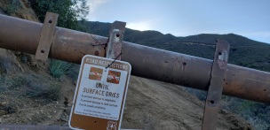
Road restrictions
Their loss, our advantage. 
L points to trail
When you can visualize a goal, you can attain it!

This slideshow requires JavaScript.

We turned around at mile 8 as the trail was getting muddy and we were running out of daylight. It’s worth coming back to finish it off. Will update this post when I do. Until then, let the good times roll! What a spectacular way to spend the first day of 2020!
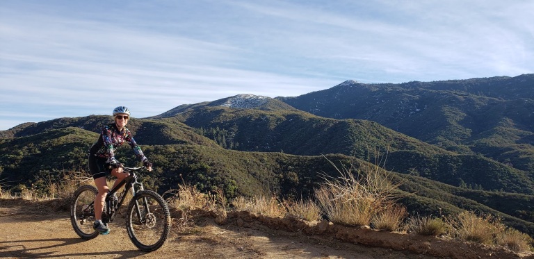
L and Palomar

Miles: 12 Miles / 24 Miles Roundtrip

Elevation: ~4,000 ft

Difficulty: Depends on your fitness level, knee health, and affinity for climbs. Very doable, the super steep sections are relatively short. Terrain has some rutty sections, but mostly good. This would also be a great trail run, or training for the Catalina Marathon, or any endurance races.

Directions: From Temecula, take HWY 79 east for 18 miles. Stay on HWY 79 and make a right 2/10ths of a mile past the junction of HWY 371 to an RV park/resort. Follow the paved road for 0.3 miles then park in the large dirt area in front of the Fire Service Road 8S05

Notes: There’s no water along this exposed route—plan accordingly. It’s hot during the summer and you may encounter snow during winter, or mud after heavy rains or melts. Vehicles are allowed on this route, but seasonal closures for motorized access often occur. (A bonus for mountain bikers and trail runners.) Further up the mountain, the Forest Service has labeled the High Point Truck Trail (8S05) as 9S09 between this junction and the Palomar Divide Truck. When in doubt, stay on the most “main” looking route.

mtb dog
Celebrity MTB Canine Sighting

Bonus: Be sure to top off your ride with a visit to Ricardo Breceda’s amazing outdoor gallery of metal sculptures. Also, check out his work in wild open spaces of Anza Borrego too!

Lake Tahoe’s Flume Trail–Simply Epic

While there are plenty of more technical and longer rides around Lake Tahoe, the Flume Trail is world-renown for its scenic beauty and an absolute “must do” if you’re in the area. (I’m sure you’ll see why after you watch the videos.)


Lake Views: Spectacular, Stunning, Jaw Dropping

Distance: ~12-14 miles

Difficulty: Moderately difficult due to elevation of 7000′ to 8157 and a 1000 ft climb in the 1st 4 miles, technically simple

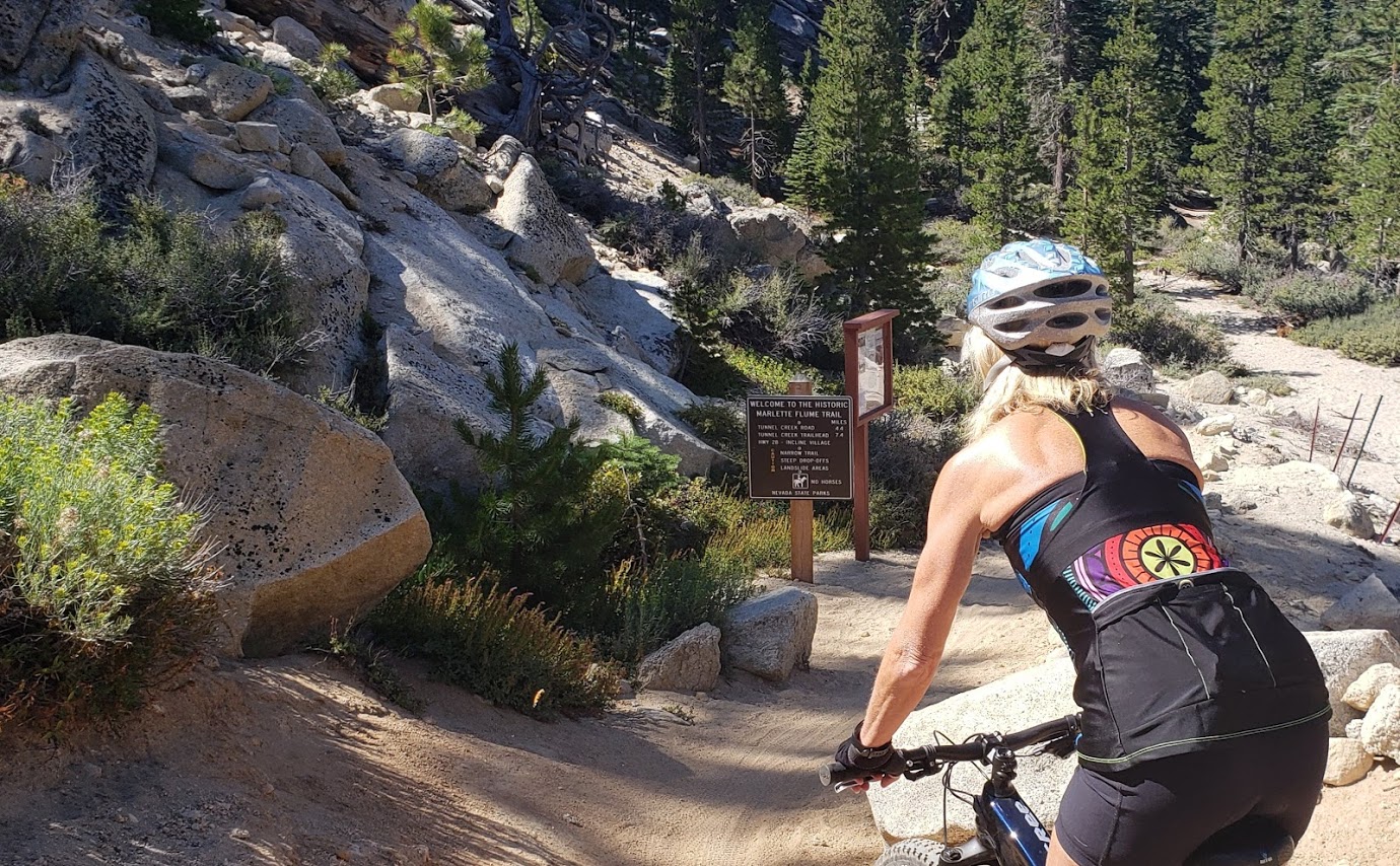
Description: Ride begins at the trailhead in the Spooner Lake Day Use Area in the Lake Tahoe Nevada State Park on the east side of Lake Tahoe. Follow the Flume Trail signs from the parking area via the North Canyon Road. In the first 4 miles, you’ll climb 1000 feet on fire road through aspen groves and meadows, followed by short descent to picturesque Marlette Lake.

Marlette Lake
Marlette Lake
Flume Trail Single Track
Lake Tahoe and Snow Capped Mountains Beyond
Fun Times on the Flume Trail

After ~1.5 miles of riding the dirt road along the lake, you’ll have ~4.5 miles of smooth, flat single track and breathtaking views 1600 feet above the east shore of Lake Tahoe. If you’re afraid of heights. some of the single-track sections might feel sketchy. Slow down and savor the beauty – the best section ends too quickly. You descend on a 3-mile fire road with lots of sand traps – beware.

Hourly shuttles summer and fall:  $18 The Flume Trail Bike Shop (mtb rentals too), 1115 Tunnel Creek Road, 775-298-2501

Notes: I’d say a shuttle is a must. In my opinion (and others’) it’s not safe to ride on the roads in Lake Tahoe.

I did this trail 4 years ago and didn’t stop once on the climb. This time the ride was more of a workout with stops for me—a humbling combination of altitude, lack of bike training, the fact that I was in the hospital 2 weeks prior, and perhaps being 4 years older (sigh). Would definitely do it again if I have the chance–those views (unlike me) never get old.

2 Short Hikes, 1 Bear Encounter, Mammoth Lakes, CA

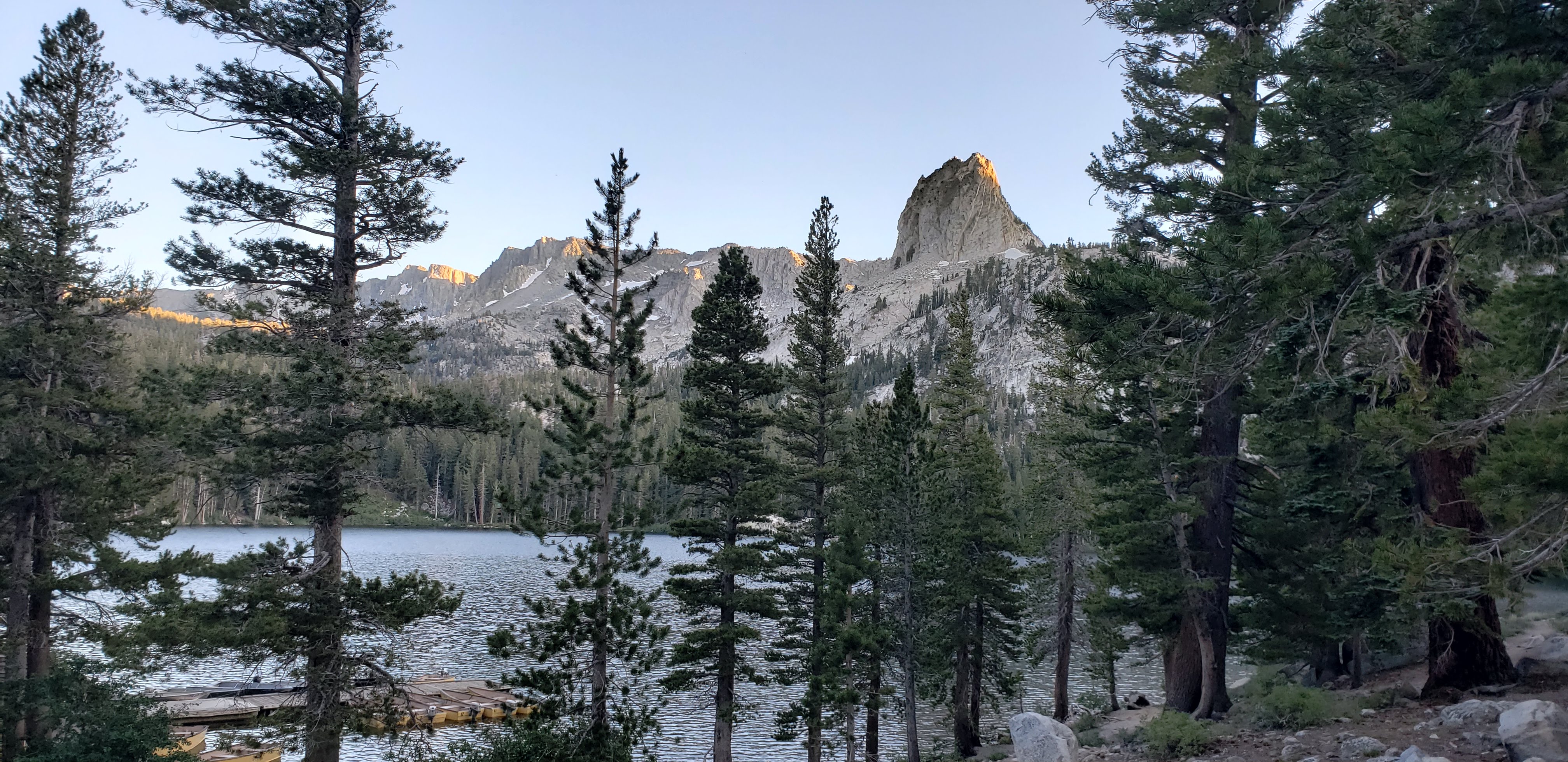
Lake George

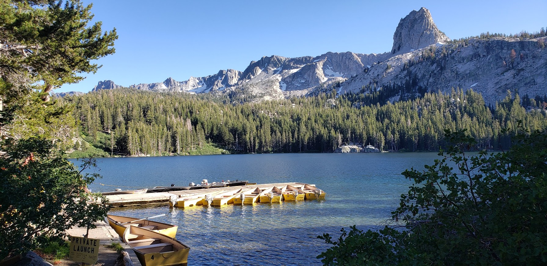
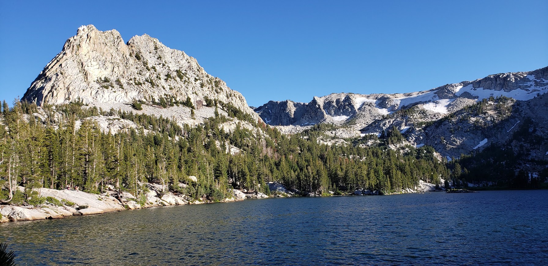
Framed by the iconic Crystal Crag and the wall of Mammoth Crest, Lake George is lovely spot for a quick nature immersion and possible wildlife sighting. It’s just a short drive out of town, and the highest road-accessible lake at 9,250 foot elevation.

Features: Hiking, fishing, camping, rustic cabins, boat rentals, a tackle and snack shop (seasonal), bear proof food storage, and bear sightings

Lake George
Lake George’s Clear Waters
Lake George Light Lingering on the Granite

Winter access to Lake George is by ski or snowshoe only

Crystal Lake Trail at Lake George

Distance: ~2.7 miles

Difficulty: Easy to moderate, depending on your fitness level & altitude acclimation

Highlights: Panoramic views of the Mammoth Lakes Basin, captivating Crystal Lake

Panoramic Views From the Trail: Lake George and Lake Mary
Granite Rocks and Mountain Vistas
Crystal Lake
Crystal Lake
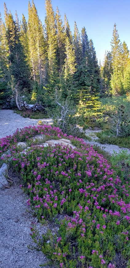
Along the Crystal Lake Trail

Bartlett Lake & TJ Lakes

Distance: ~1.5 miles

Difficulty: Easy

Big views for little effort. The trail crosses a stream then meanders up through lodgepole pines, hemlocks, western white pines to the shore of Barrett Lake.

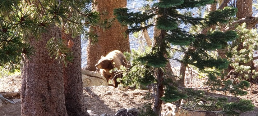
It was along this trail on the edge of Lake St. George that we encountered a large brown bear. I was coming around the corner fast (trying to get as much hiking in before sunset as possible) when I heard a fisherman standing in the lake say in a low voice “Bear there.”

Fisherman on the left. Shadow of the bear center bottom.

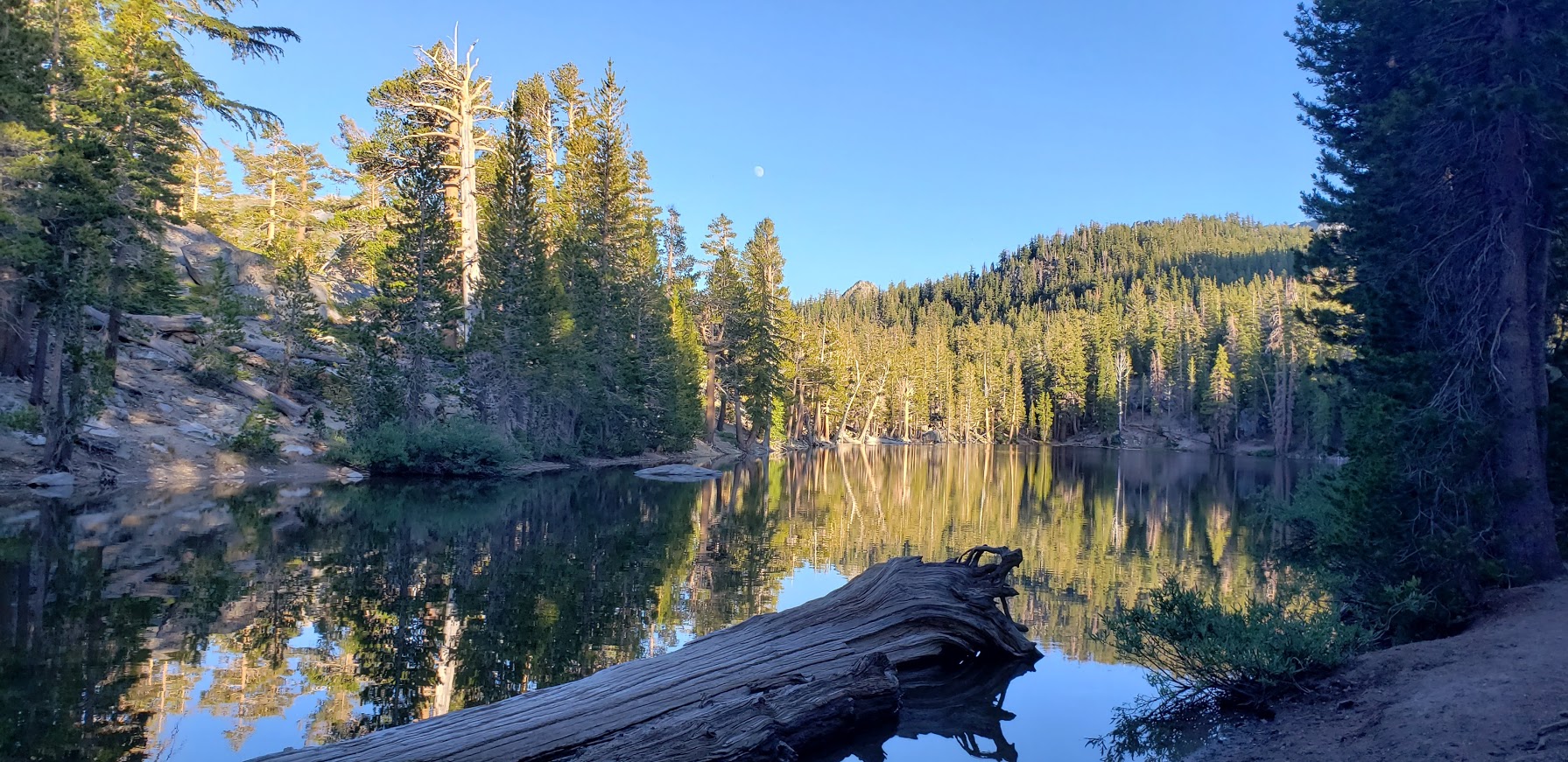
I stopped in my tracks. The bruin was blocking the trail and had its broad back to me. It was busy foraging in the fisherman’s backpack and appeared not to notice us. We quietly retreated up to a high spot off the trail. At one point, the bear looked up, I think he must have detected our scent. That’s when I snapped the shot. After taking another bear detour above the trail, we completed the TJ Lake loop, first passing Barrett Lake, Very picturesque and the light was perfect for reflection shots.

A Charming Section of the TJ Loop Trail Pic Doesn’t Do It Justice
I Couldn’t Get Enough of These Vistas


More Eye Candy On the TJ Lake Loop
Barrett Lake Reflection

In all my years of hiking, this was my first bear encounter. (Well, I think there was one outside of my tent one night on top of  San Jacinto, but I didn’t go out to greet it- just made loud noises to deter it.) What makes me sad is that this wild bear’s days are likely numbered due to it’s habituation to people.

More Mammoth Hikes

If you have more time than I did this trip, check out some of my favorite, longer hikes in the area :

Duck Lake Trail

Sherwin Creek

Lundy Lake Trail

Short Peak Scramble, Flinn Springs County Park, San Diego

On the way back from 3 Sisters Falls, we decided to add on a roadside, quickie hike in Flinn Springs County Park. The hike begins at the back of the park.

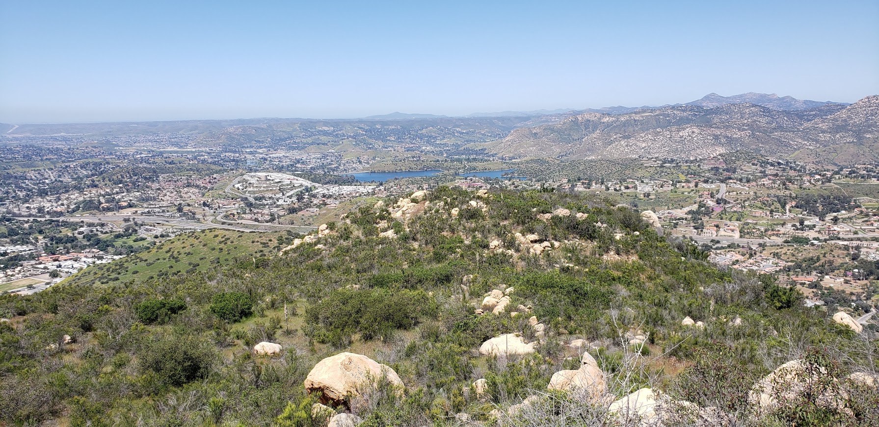
This small 40-acre park near Lakeside has 1 short trail that takes you up a consistent, steep incline to a great vista above Escondido and Lake Jennings.

Once you reach the saddle you can go east to reach a short peak or west to climb Silverdome Peak or south for Flynn’s Peak. I’m not sure which one we scrambled up, but it was definitely a scramble.

views from flinn

It’s rated as moderate, but if you are less than moderately fit, it’s likely you will suffer. (Especially if it’s a hot day as the trail is completely exposed.) That being said, it’s a good, short workout and “bun burner”.


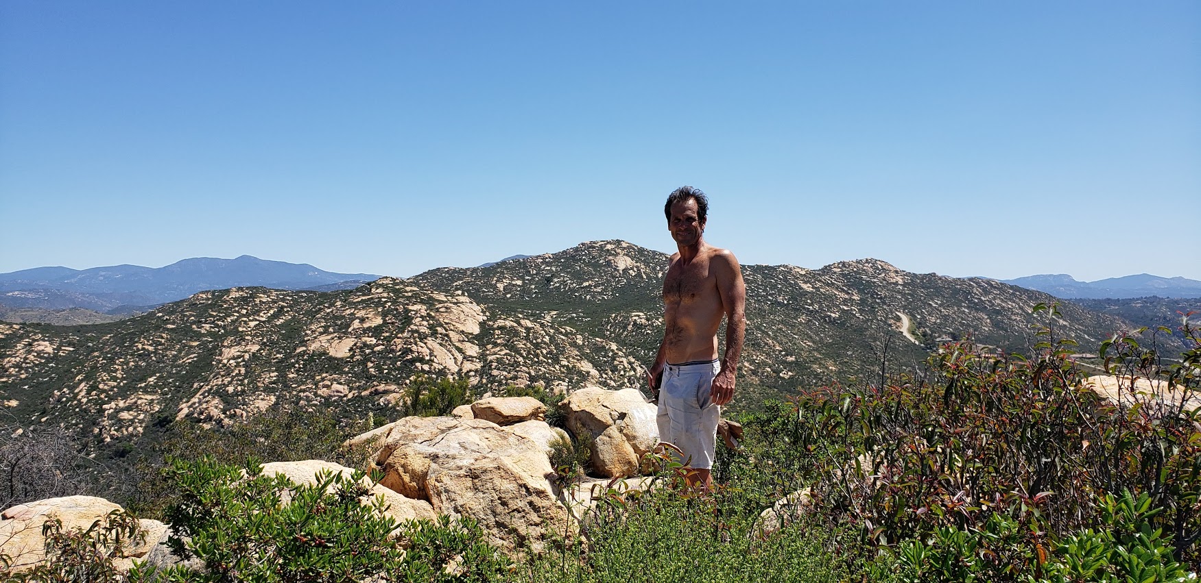
ken
A little trail eye candy

I wouldn’t go out of my way for this one, but if you’re driving by and want a leg stretcher / burner—go for it.

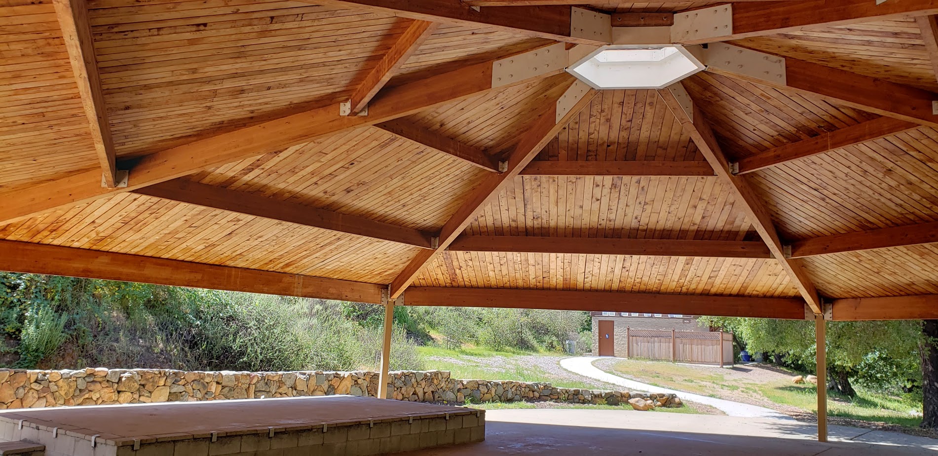
There’s picnic tables and a lovely wood pavilion too.

Flinn Pavilion

Total distance ~<4.3 miles RT

Elevation Gain: 1,443 FT

Parking Fee: $3

Address: 14787 Old Highway 80, El Cajon, CA 92021

Chasing Waterfalls and Wildflowers: Three Sisters Falls Hike, SD County

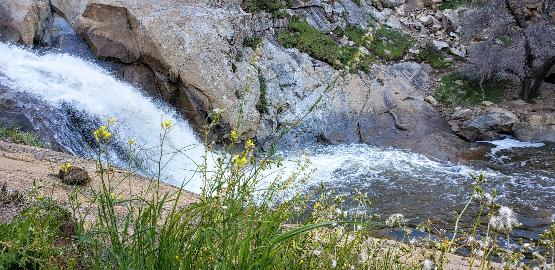
San Diego County’s 3-tiered seasonal waterfall  in Cleveland National Forest is definitely worth a visit when the water is running.

3 sisters fall trailhead sign


At the beginning of the hike, these 3 lovely trees will greet you.

3 lovely trees 3 sisters hike

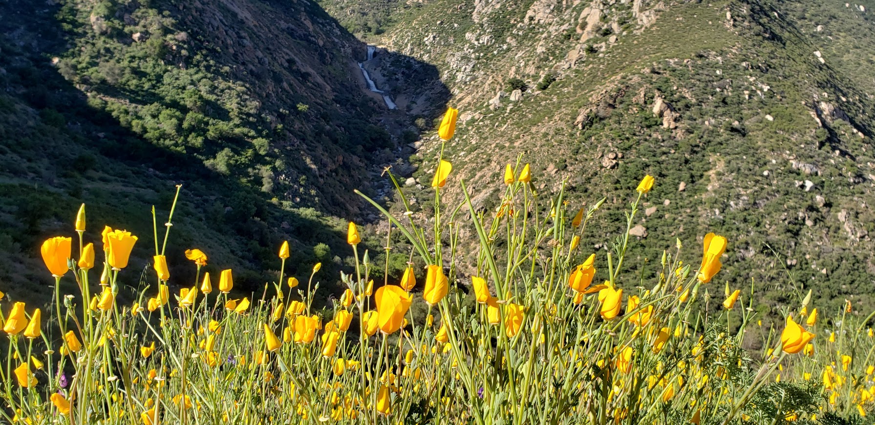
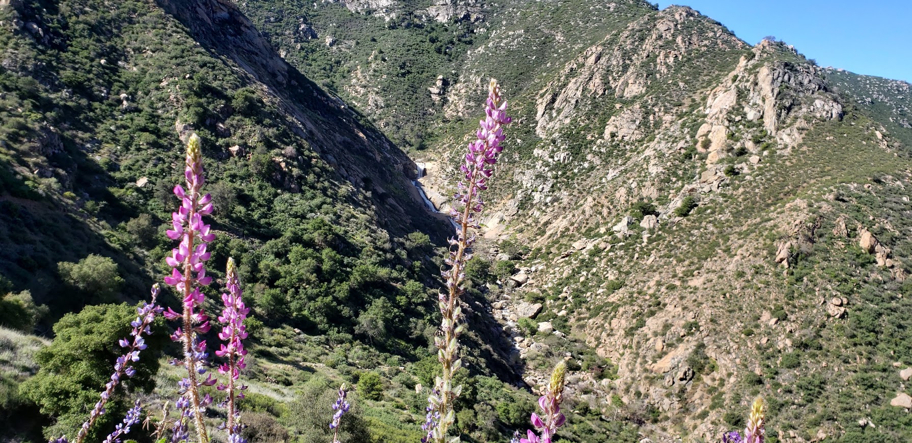
The falls are much more impressive than you might expect. As you hike down the trail, you can see the frothy, white veils in the distance.


For me, it was vaguely reminiscent of Yosemite. Of course, I was fortunate to experience the area after a rainy season, during the spring super bloom. The hillsides were green and sprinkled generously with wildflowers. If you’ve been following my superbloom posts (Walker Canyon, Diamond Valley Lake, Denk Mountain) this spring, you know I can’t get enough of these wildflowers. (I wasn’t expecting any on this hike and what a wonderful surprise to see the colorful abundance along the trail – perfect wildflower filters for my distant water shots.)

poppy filter 3 sistersbest wildflower filter 3 sistersCactus bloom 3 sisters

It’s a pleasant single-track, out & back trail that takes you down to the falls and then bring you back up to the parking area.

L with flowers on the trail 3 sisters


Lydia taking pics


rock falls 3 sistersfalls flower filter

The falls are a wonderful spot to have a picnic, cool off, and while away the afternoon – that is if you don’t mind being joined by too many humans who have the same idea. (Heavy sigh.) Be forewarned, this is one of San Diego’s most popular hikes so go early or be prepared for the crowds and a full parking lot.

If you want to add on another hike, the Cedar Creek Falls hike is in the vicinity too. Since I’ve done that one already, I decided to take the scenic drive out the other side on Descanso Road.

Descanso dirt road

The Scoop on 3 Sisters Waterfall Hike

Distance: 4 miles RT (out & back)

Elevation gain/loss :1000 ft (downhill on the way out, uphill on the way back)

Difficulty: Easy to moderate, depending on your fitness level. Trail run friendly on a non-crowded morning.

Getting there: From the town of Julian, turn left on Pine Hills Road, right on Eagle Creek, and left on Boulder Creek Road, which will become dirt road for the last 5 miles.

Note: Both Boulder Creek and Descanso are dirt roads with potholes, but no suv or 4-wheel drive needed. A regular passenger car with adequate ground clearance will do the trick as you have patience with potholes and bumps. However, it might not be prudent to attempt it without a SUV or 4-wheel drive after a heavy rain.

Fee: Display a National Forest Adventure Pass – $5 day pass [purchase info]  https://www.fs.fed.us/portaldata/r5/ap/r5-ap-vendors.php

On the way home, I added on short, vertical hike / scramble at Flinn Springs County Park on old highway 80 off highway 8. Post to come.