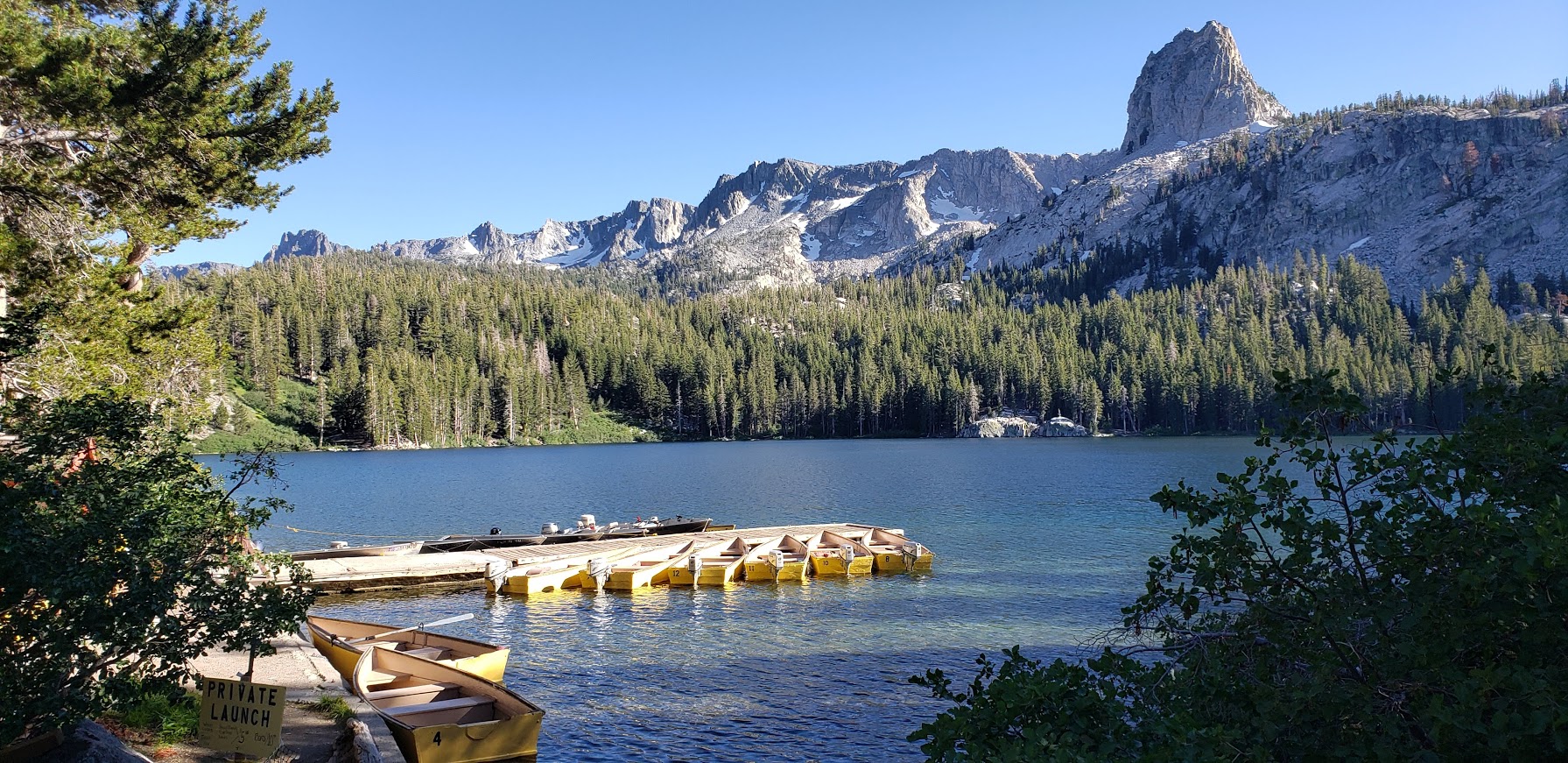
2 Short Hikes, 1 Bear Encounter, Mammoth Lakes, CA

Lake George

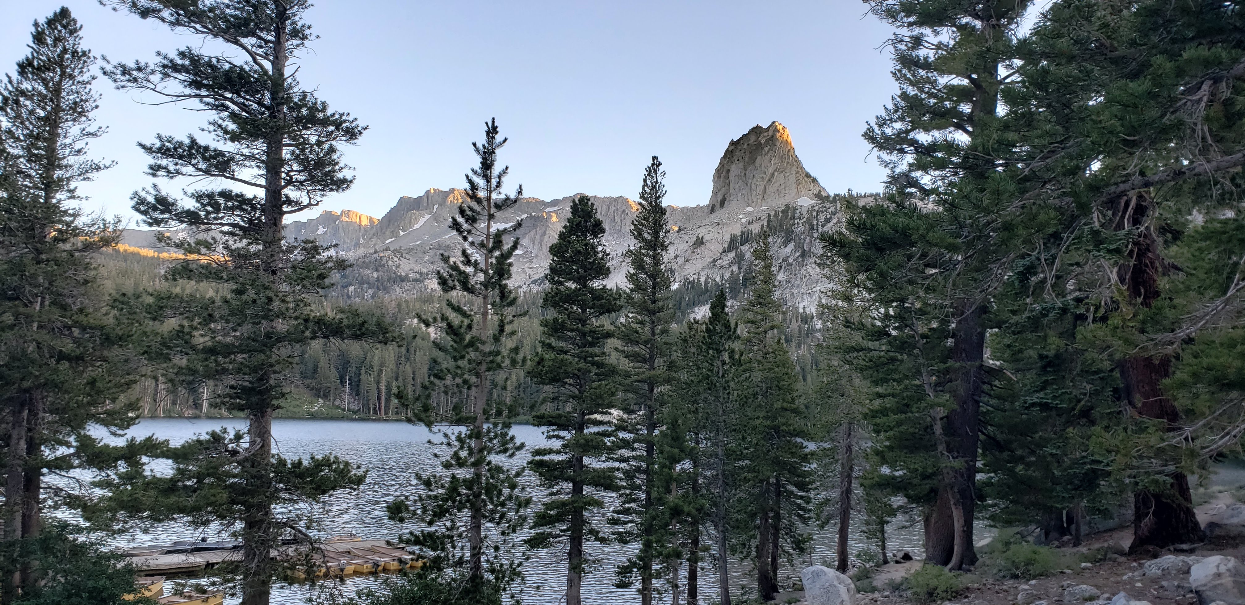
Framed by the iconic Crystal Crag and the wall of Mammoth Crest, Lake George is lovely spot for a quick nature immersion and possible wildlife sighting. It’s just a short drive out of town, and the highest road-accessible lake at 9,250 foot elevation.

Features: Hiking, fishing, camping, rustic cabins, boat rentals, a tackle and snack shop (seasonal), bear proof food storage, and bear sightings

Lake George
Lake George’s Clear Waters
Lake George Light Lingering on the Granite

Winter access to Lake George is by ski or snowshoe only

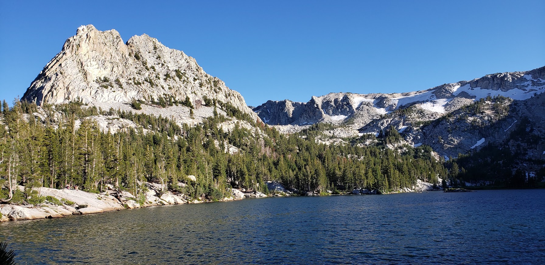
Crystal Lake Trail at Lake George

Distance: ~2.7 miles

Difficulty: Easy to moderate, depending on your fitness level & altitude acclimation

Highlights: Panoramic views of the Mammoth Lakes Basin, captivating Crystal Lake

Panoramic Views From the Trail: Lake George and Lake Mary
Granite Rocks and Mountain Vistas
Crystal Lake
Crystal Lake
Along the Crystal Lake Trail

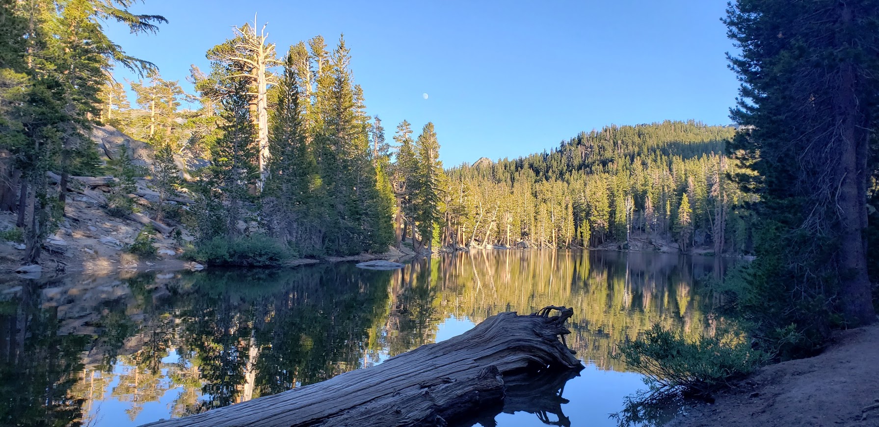
Bartlett Lake & TJ Lakes

Distance: ~1.5 miles

Difficulty: Easy

Big views for little effort. The trail crosses a stream then meanders up through lodgepole pines, hemlocks, western white pines to the shore of Barrett Lake.

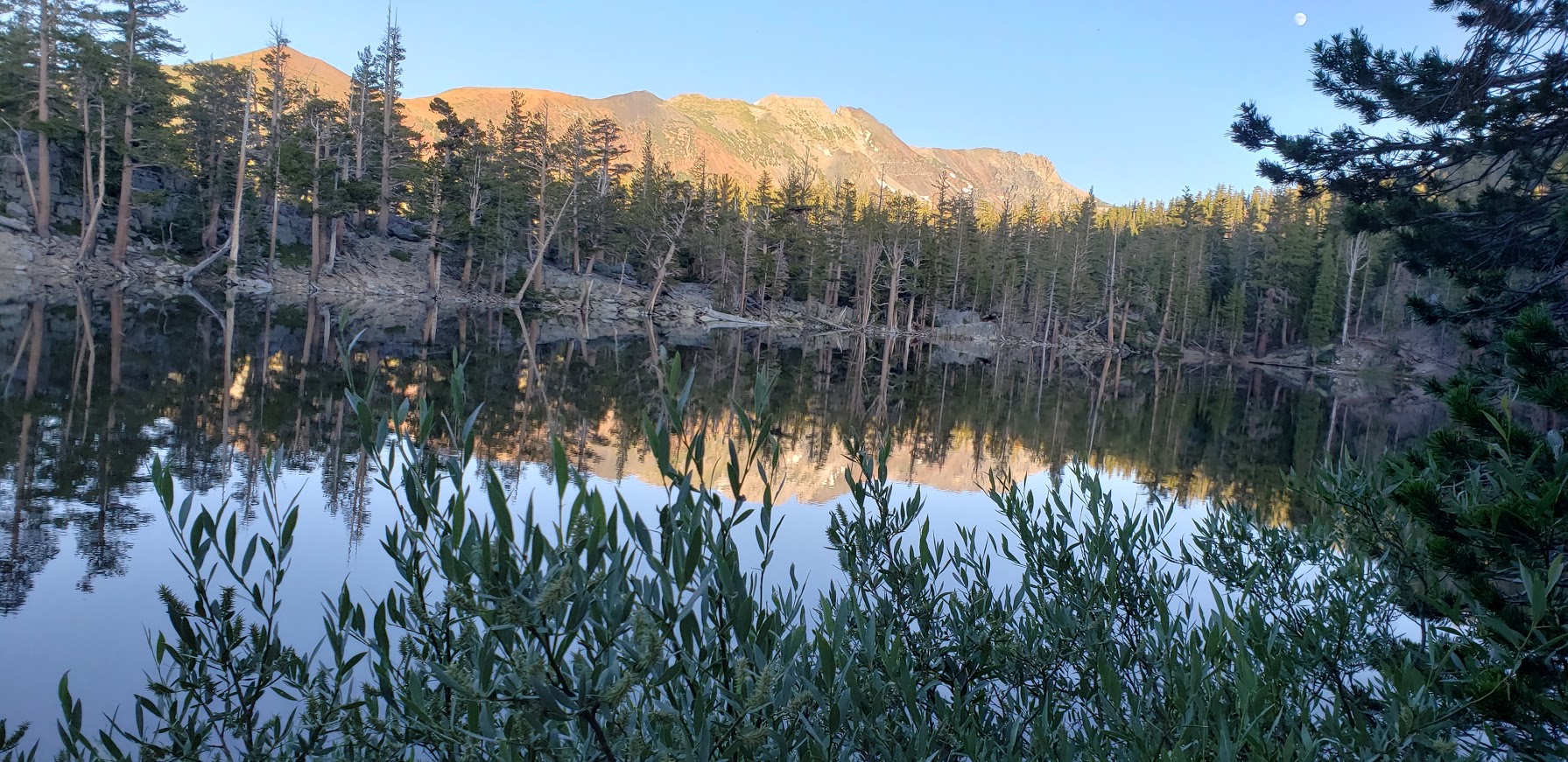
It was along this trail on the edge of Lake St. George that we encountered a large brown bear. I was coming around the corner fast (trying to get as much hiking in before sunset as possible) when I heard a fisherman standing in the lake say in a low voice “Bear there.”

Fisherman on the left. Shadow of the bear center bottom.

I stopped in my tracks. The bruin was blocking the trail and had its broad back to me. It was busy foraging in the fisherman’s backpack and appeared not to notice us. We quietly retreated up to a high spot off the trail. At one point, the bear looked up, I think he must have detected our scent. That’s when I snapped the shot. After taking another bear detour above the trail, we completed the TJ Lake loop, first passing Barrett Lake, Very picturesque and the light was perfect for reflection shots.

A Charming Section of the TJ Loop Trail Pic Doesn’t Do It Justice
I Couldn’t Get Enough of These Vistas


More Eye Candy On the TJ Lake Loop
Barrett Lake Reflection

In all my years of hiking, this was my first bear encounter. (Well, I think there was one outside of my tent one night on top of  San Jacinto, but I didn’t go out to greet it- just made loud noises to deter it.) What makes me sad is that this wild bear’s days are likely numbered due to it’s habituation to people.
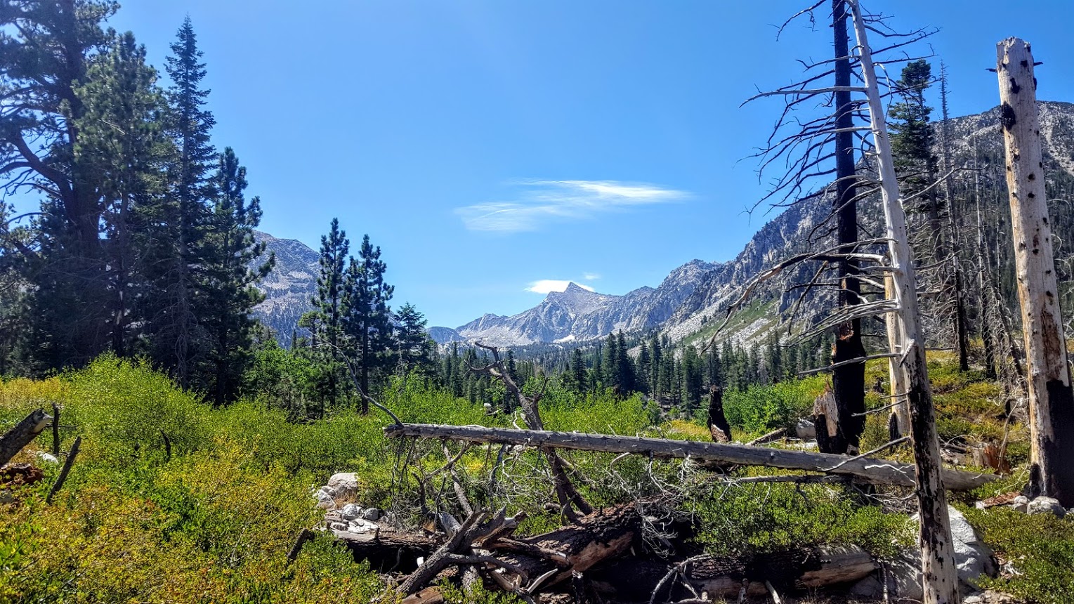
More Mammoth Hikes

If you have more time than I did this trip, check out some of my favorite, longer hikes in the area :

Duck Lake Trail

Sherwin Creek

Lundy Lake Trail

Sherwin Creek Trail: Awesome Hike to 2 Spectacular Lakes. Mammoth Lakes, CA.

If you like alpine lakes, sublime scenery, and trail terrain that’s gentle on feet (good for trail running too), you’ll want to spend a day here, immersed in natural bliss. I loved this hike. The lakes and mountain scenery are SPECTACULAR. It felt easy to me despite my hiking book’s rating of it as a 4 out of 5 for difficulty due to the 2,100 ft elevation gain. The trail is quite gradual with many switchbacks, but it didn’t really seem like a big climb. Maybe I just woke up strong and altitude acclimated. The good news is the elevation gain keeps the crowds away.

peaks and timber


There was something magical about this tree. Look for it on the trail after Lake Sherwin and let me know if it stopped you in your tracks too. The pictures don’t do it justice. I named it the Medusa tree.


If you’re not up for hiking up to Valentine Lake (9,698 ft – 5.6 miles), you can always make Sherwin Lake (2-3 miles) your destination instead, but just so you know, you’ll be missing this:


Lydia Valentine lakeValentine Lake, you stole my heart and nearly froze it too! I can’t resist the allure of an alpine lake, even when it’s snow melt cold. Can you?

My boyfriend was taunting me in the video below. Note: HE DID NOT JUMP IN THE LAKE. (And somehow I resisted pushing him into it.)


Distance Round Trip: 11.2 miles

Elevation Gain / Loss: 2,100

Getting There: South from Lee Vining on the 395, you’ll find Sherwin Creek Road two miles south of the Mammoth Lakes exit. Take Sherwin Creek Road west and drive ~2.5 miles and then turn left on the spur road before you reach Sherwin Creak Campground.


Magnificent Mammoth Lakes’ Duck Lake Trail, John Muir Wilderness

If you like pristine wilderness and glimmering, translucent alpine lakes, you’ll love this hike in the Eastern Sierras near Mammoth Lakes, CA. You’ll be rewarded every couple miles of effort with one of the 6 refreshing gems along the route.  (If you’re into trout fishing, you’ll definitely want to bring your pole. They say the higher you go, the bigger the trout.)


This slideshow requires JavaScript.

You’ll come upon the first lake, Heart Lake, at mile 1. While you might feel a little silly stopping so soon after embarking, you won’t want to miss this little gem. And given the altitude and incline, you find that you’d like to enjoy the view for a minute or two. Arrowhead Lake is next at mile 1.2 (9,680 ft) followed by Skeleton Lake and Barney Lake (10,022 ft) at 2.5. Once you tear yourself away from Barney, you’ll hit some switchbacks. Spectacular Duck Lake (10,850 ft) will reveal herself to you around mile 4. While you’re there you can visit her adjacent,charming  little sister, Pika Lake. If you continue on, the pines close in on the narrow trail as you continue climbing, descending, climbing  and traversing to Purple Lake (8 miles). (You can camp anywhere along the way as long as you are at least a 100 feet from lakes or streams.) We camped above Purple Lake, which was a bit anti-climatic after Duck Lake. Purple Lake has its own more subtle, woodsy allure, but the outstanding beauty of Duck Lake was mesmerizing and where I found my bliss.

For a quick overnighter, I pack some luxuries. For this trip that included the cozy, warm pants and fuzzy top you see in the picture. I also like to forgo a tent and just enjoy the night sky and wilderness. The gloves and the hat were necessities. It gets cold at night at altitude even when temps have been in the high 70s during the day. Despite my suggestion, my boyfriend did not bring a hat or gloves. He said. “It won’t get that cold.” I should have snapped a pic of him with his mummy back zipped all the way up with only the tip of his red nose sticking out. In the morning as our boots crunched along on the ice slicked trail, he conceded, “I guess it did get cold last night.” (Yes, we’re at altitude in the Eastern Sierra’s so even in late August, it can get quite chilly at night or when a storm front comes through.)

This trail is doable for a day hike, trail run or an overnighter. And it connects to the Pacific Crest Trail so there’s ample opportunity to just keep going.  Kind of wish I could have, but I’ll be back.


Scenery: AWESOME

Difficulty: Somewhat strenuous given the altitude and fairly continuous climb

Access:  Via Coldwater  Campground 

Starting  elevation: 8,900 feet

Permit required. Pick it up with your bear canister (if you’re over-nighting with food) at the local Forest Ranger Station.