Diamond Valley Lake: Hike, bike, run, or boat this lovely little gem, Hemet, CA

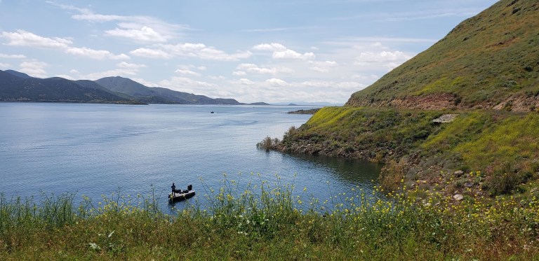
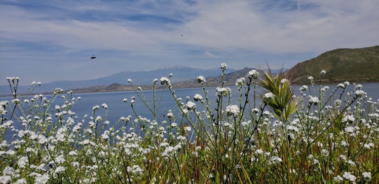
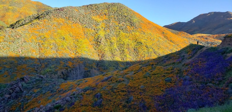
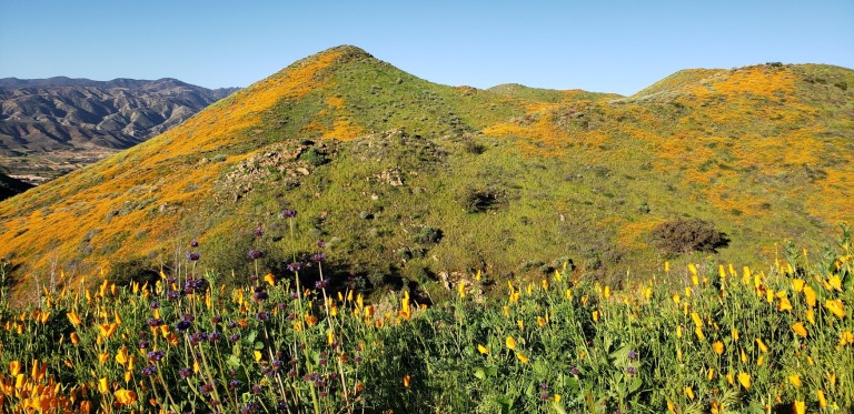
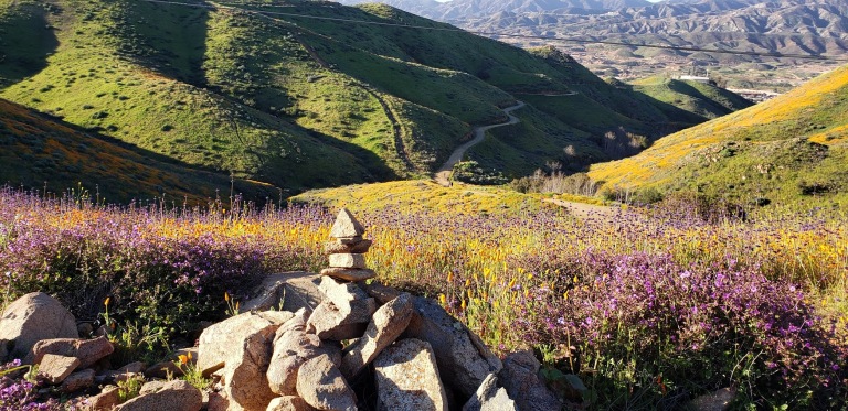
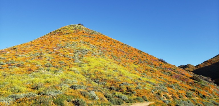
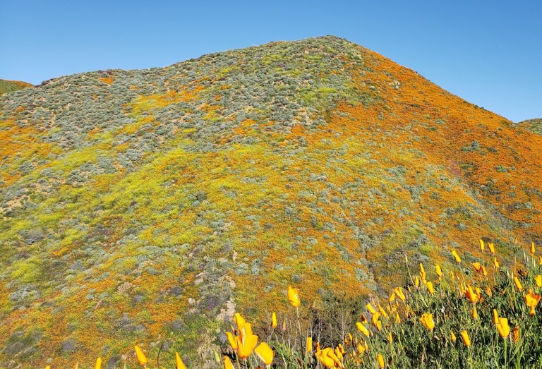
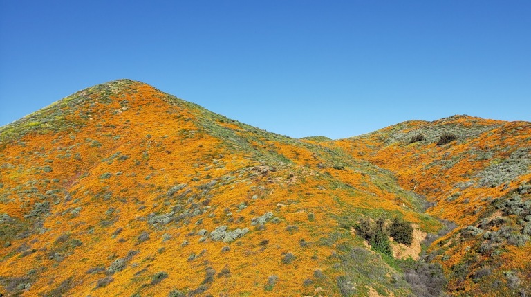
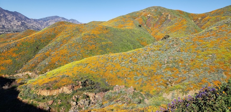
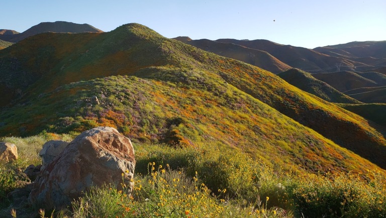
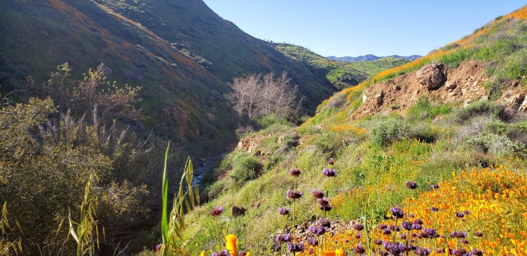
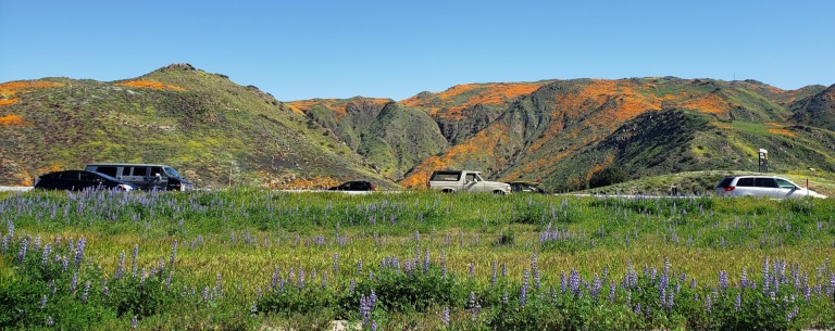
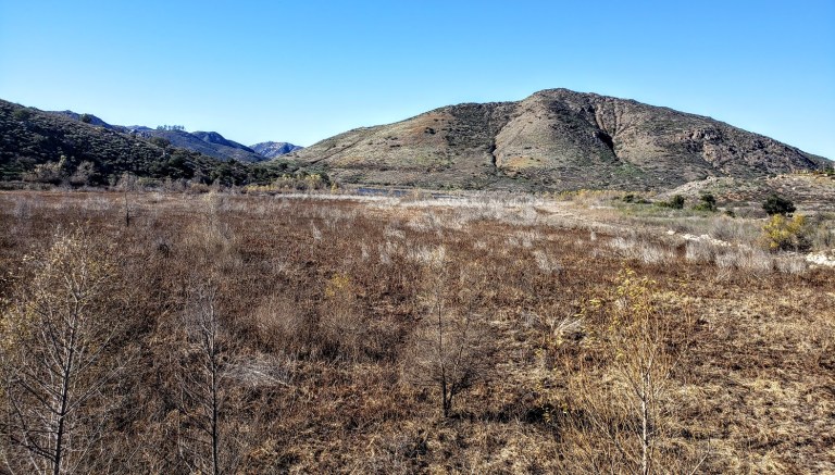
Cruising the 21.8 mile Lakeview trail around Diamond Valley reservoir on mountain bike during the wildflower super bloom last weekend was a delight. It’s a flat, family-friendly fire-road with lake and snow -capped mountain views that don’t disappoint. Yes, this was seeing it dressed in its wildflower season best. And no, you probably won’t want to do it in the blazing heat of the summer as it’s all exposed. But it’s just right, right now – for running, hiking, biking, boating, and fishing. (It’s stocked with rainbow trout, large mouth bass, striped bass, bluegill, small mouth bass  – catch and release only though.)
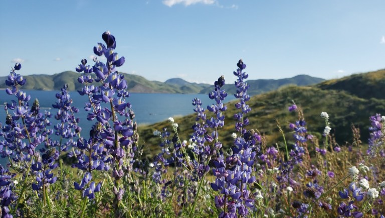
lupine filter dvl
Lupine Filter

Lupine Filterwildflower fireroad dvlsnow capped vista dvlpoppies and dvlfisherman dvldvl framed

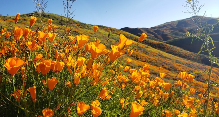
dvl poppy filter
Poppy Filter

How many places can you take a scenic, peaceful 21 mile bike ride and have it virtually all to yourself on a weekend? Ok, Catalina, but where else? (Granted the little wildflower hike was much busier, but less by the time I was done with my  mountain bike ride.)
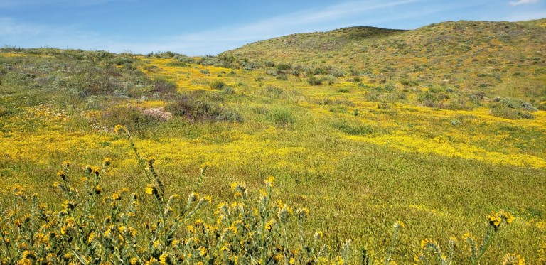
mellow yellow bloom dvl
Mellow yellow wildflower extravaganza

fisherman dvl

birds and the bees dvl
Birds, bees, wildflowers and snow capped mountains

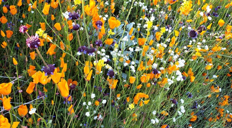
Here’s your wildflower sampling: Poppies, Arroyo Lupine, California Goldfields, Brittlebush, Owl’s Clover, Canterbury Bells, Chia, Baby Blue Eyes, and more!


Did I mention to be on the lookout for rattlesnakes?

[Rattlesnake video courtesy of Ken Wells.]

Fee: $10 per car, $3 per person for trail entry – worth it.

Getting there:

The entrance to Diamond Valley Lake is off of Domenigoni Parkway, which connects with Highway 79 on the west side of the lake and State Street on the east. You can take State Street south from Highway 74 in Hemet.

Mileage and Driving Times to Diamond Valley Lake
Miles Hours Mins.
Anaheim 77 1 24
Los Angeles 93 1 37
Pomona 63 1 10
Riverside 40 0 48
San Diego 87 1 34
Santa Barbara 188 3 06

Can’t get enough of the California Wildflower Superbloom 2019? Neither can I. Check out my Walker Canyon and Denk Mountain posts.

Denk “Mountain”, a lovely, little, local hike, Carlsbad, CA

Granted, I was lucky enough to hit this hike at its most beautiful, during the spring super bloom (poppies and native wildflowers galore), but year-round, on clear days , you can enjoy lovely views of Batiquitos Lagoon and the coastline from Camp Pendleton to La Jolla.


Denk Mountain is part of Rancho La Costa, a habitat conservation area in Carlsbad made up of several non-contiguous parcels of land, including Denk Mountain and Ridgeline Trail above Box Canyon. These are some of the most rugged in the area, which make it a local mountain bikers’ favorite.

Flowers and rock denk 2

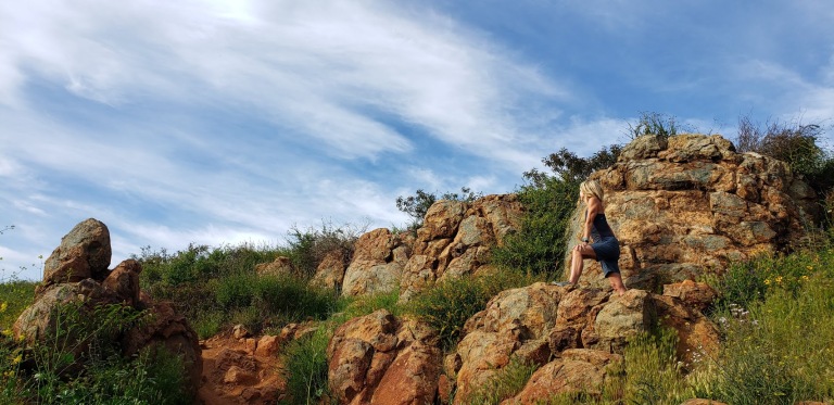
L climbing rock deck mountain

L profile at the rock denk

Trail notes: You have choices on this loop trail. For surer footing sake, I recommend you go up the steeper, more rugged / rocky Mule Deer Trail and come down the more moderate, less rugged Switchback Trail. The hike is completely exposed so be prepared with sunscreen, a hat and sunglasses.

Total Distance: 3.5 miles
Difficulty: Easy to moderate – depending on your fitness level
Total Ascent 690 feet
Dogs Leashed dogs allowed
Mt. Bikes Bikes allowed
Facilities None
Parking FREE, along Corte Romero

Getting there: From the 5, take the La Costa Ave exit East and continue for 4 miles. Turn left onto Rancho Santa Fe Road and at .8 miles, turn right onto Camino Junipero, then in ~ .2 miles turn left onto Corte Romero. Park along the street. The trail head is on the right.

Savoring the Poppy Super Bloom, Walker Canyon, Lake Elsinore, CA

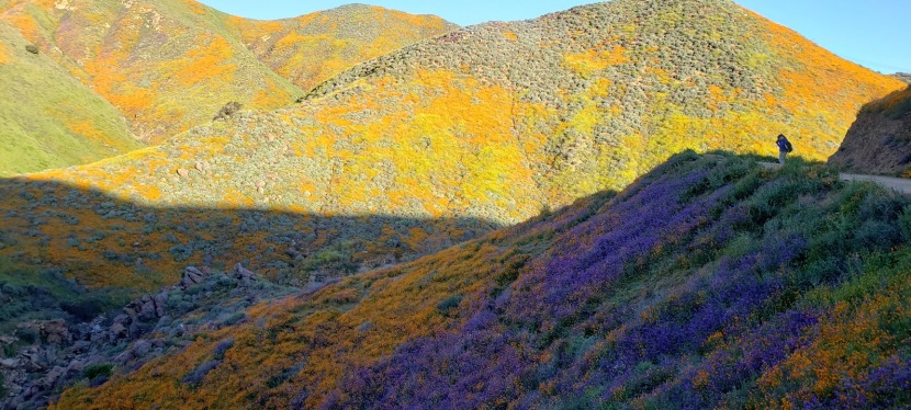
So glad I made the drive, not 1ce, but twice for this epic poppy bloom. How many times in our lifetimes does nature serve up such a spectacular treat? (Yes, I’ve experienced super blooms before, a couple years ago in Anza Borrego and way back when in Gorman, CA, but for me their magnificence never gets old.) You’ll have to pardon the abundance of pictures, I can’t help myself!

BTW, Walker Canyon is a 3.5 mile fire road out & back route in the Temescal Mountains. There’s a gradual incline, it’s perfect for trail running. The Temescal Creek flows through the bottom of the canyon. If you look closely you can see it from the trail and if you’re lucky, you might here it’s lovely musical melody too.

The downside of the super bloom? Too many humans, of course. Way, way too many humans and cars. They’re calling the Poppy Apocalypse and Flower Armageddon.  But I am happy to see people getting outside and enjoying nature. (Not happy to see people trampling it though.)

WC Vista 3 3.14WC vista 3.14

WC rocks 3.14
Looking down on the Walker Canyon Trail
WC close up 3.14
Mother Nature’s Splendid Bouquet

WC 4 3.14WC 3.14WC 3 3.14Walker Canyon 3.14


Day 2 – Spent my St. Patrick’s Day morning immersed in a flower rainbow 


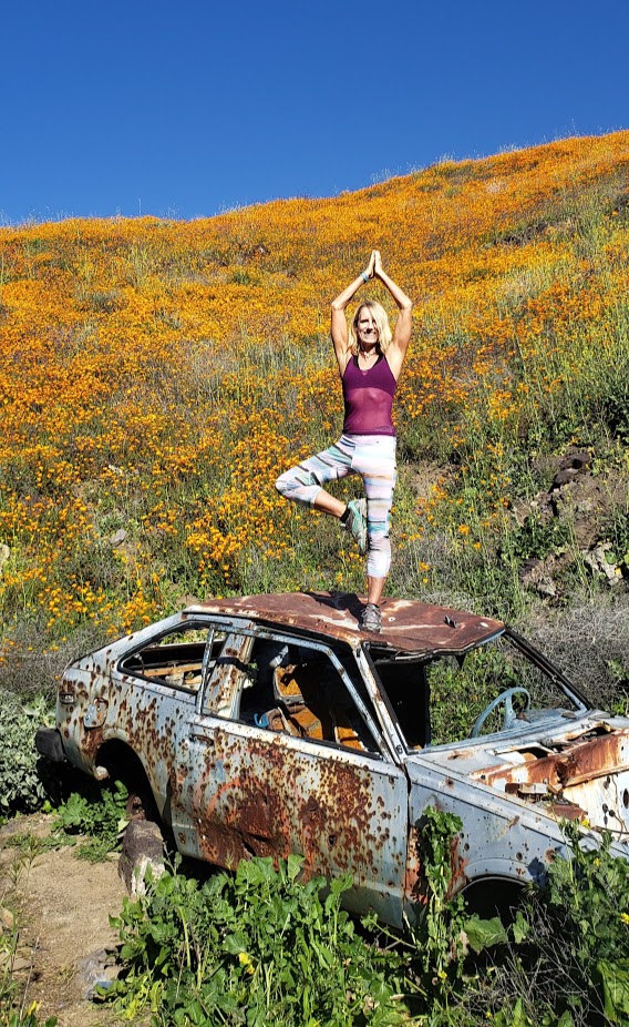
Yogi Bliss
Yogi’s Bliss

rock vista

To add to the amazing spectacle, there’s a painted lady butterfly migration going on right now too!

painted lady

poppies near and far

Temescal Creek
Temescal Creek

As always, happy trails to you. Let me know which pics you like better  – day 1 or 2?

L hike cropped 3.17

Getting there: Lake Street off the 15 freeway, Lake Elsinore

Views from the freeway 3.17
Not bad for freeway views, eh?

Bernardo Summit Rewards: 360 degree views of Lake Hodges and beyond

A popular spot for mountain bikers and hikers, the San Dieguito River Park in Escondido is squeezed between the I15 freeway and a couple housing developments. It’s not wilderness, but it still makes for a decent, suburban excursion and nature fix.

bernardo summit

As I mentioned in my Cruising Lake Hodges post, the main mountain bike route on the Coast-to-Crest Trail is beginner friendly. The Bernardo Summit trail is not—it’s rated difficult due to loose rocks and steep technical sections. In other words, it’s way out of my mountain bike skill league so I left it undone on my last visit, vowing to come back and hike it. Note don’t let the words summit and mountain deter you. We’re only talking about a ~1k ft in elevation gain here.  But that elevation is enough to deliver views that do not disappoint.

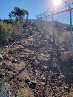
If you’re like me and want to bypass some concrete “hiking” and walking under the freeway, you may want to start your hike at the bicycle/pedestrian bridge (the world’s longest stressed ribbon bridge) which crosses the variably wet/dry section of Lake Hodges. After traversing the bridge, take the trail to the left heading towards the Lake. Before long, you’ll hopscotch on a couple rocks across Felicita Creek, a small perennial brook, and round the bend from there. Look for the summit trail splitting off to the right (the sign for it is facing the other direction). It’s a gradual, steady climb – mild to moderate and absolutely runnable – you just need to watch your footing on the loose rock sections. (I find it easier, more fun and less painful to run up vs. down.)

pleasant section of single track b summit

At the last and steepest section, you’ll encounter a fenced-in water tank – not very pretty, but don’t be discouraged. last climbYour final ascent will be rewarded.

I highly recommend this hike for the best views in the park and a good workout. If you’re not up for incline, you can keep going straight along the North Shore trail to Del Dios Community Park and eventually, past the Lake Hodges Dam. Note it’s an out and back.


Hiking difficulty: Mild to moderate+ depending on your fitness level

Elevation change: ~1,000 ft

Distance: ~6.2-7.2 miles roundtrip, depending on where you start

Mountain bikes and leashed dogs allowed

Free entry


Exploring Trona Pinnacles, a Natural National Landmark Near Ridgecrest, CA

If the other-worldly landscape of Trona Pinnacles seems strangely familiar to you that’s because it’s been the setting of many films, including Battlestar Galactica, Star Trek V: The Final Frontier, Disney’s Dinosaur, The Gate II, Lost in Space, and Planet of the Apes and numerous car commercials.


Trona7

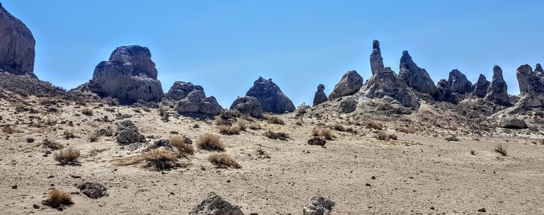
This unique geological landscape in the California Desert Conservation Area consists of more than 500 tufa spires, some as high as 140 feet, that rise from the bed of the Searles Dry Lake Basin. Composed primarily of calcium carbonate (tufa) from deep beneath the lake, the pinnacles vary in size and shape from squat and thick to tall and thin. The tufa here date back 10,000 to 100,000 years ago, forming over 3 ice ages. There are distinct in their age and elevation and are referred to as the northern group (youngest), middle group (110 spires and highest tower), and southern group (200 formations and up to 100k old). If you’ve been to Mono Lake, you’ve seen more recent formations. The expanse of desert in every direction and the stark mountain ranges on either side create a dramatic landscape.

This slideshow requires JavaScript.

trona cave

Trona native
Ran into a local

You can drive around the area or hike around it. Temps are triple digit in the summer so be prepared.

Getting there: ~ 20.0 miles east of Ridgecrest. Via a 5 mile BLM dirt road (RM143), usually accessible to 2-wheel drive cars, that leaves SR 178, about 7.7 miles east of the intersection of SR 178 and the Trona-Red Mountain Road. Note: The road may be closed after heavy rains.

Note: This is BLM territory so camping in this barren, impossibly hot, desert landscape is free. It’s also a great spot for offroading & ATVs.

Not sure I’d drive hours to see it, if it’s on the way as it was on my way back from my Mt. Whitney adventure, it’s worth it.