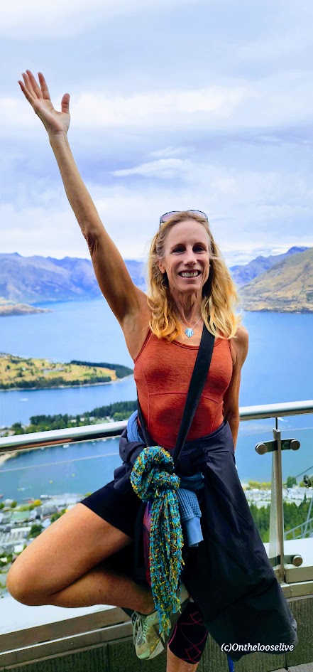
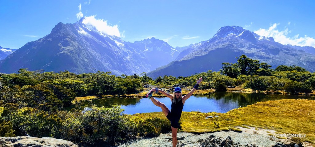
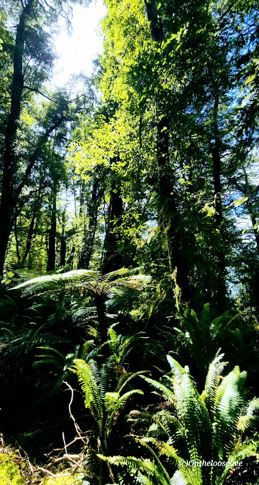
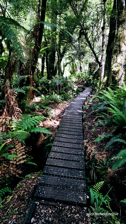
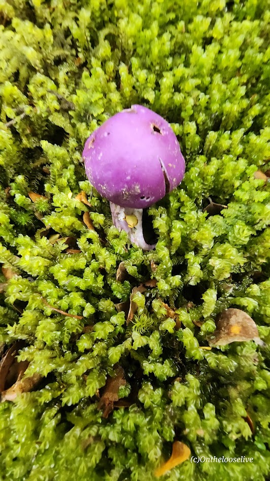
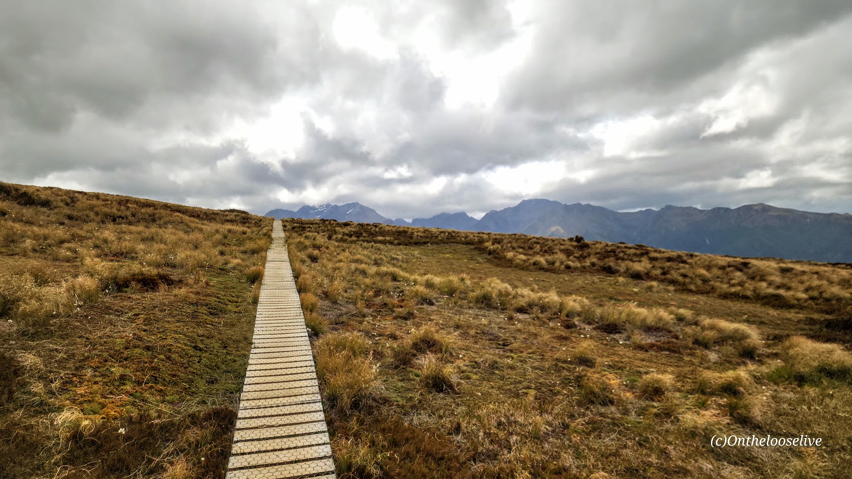
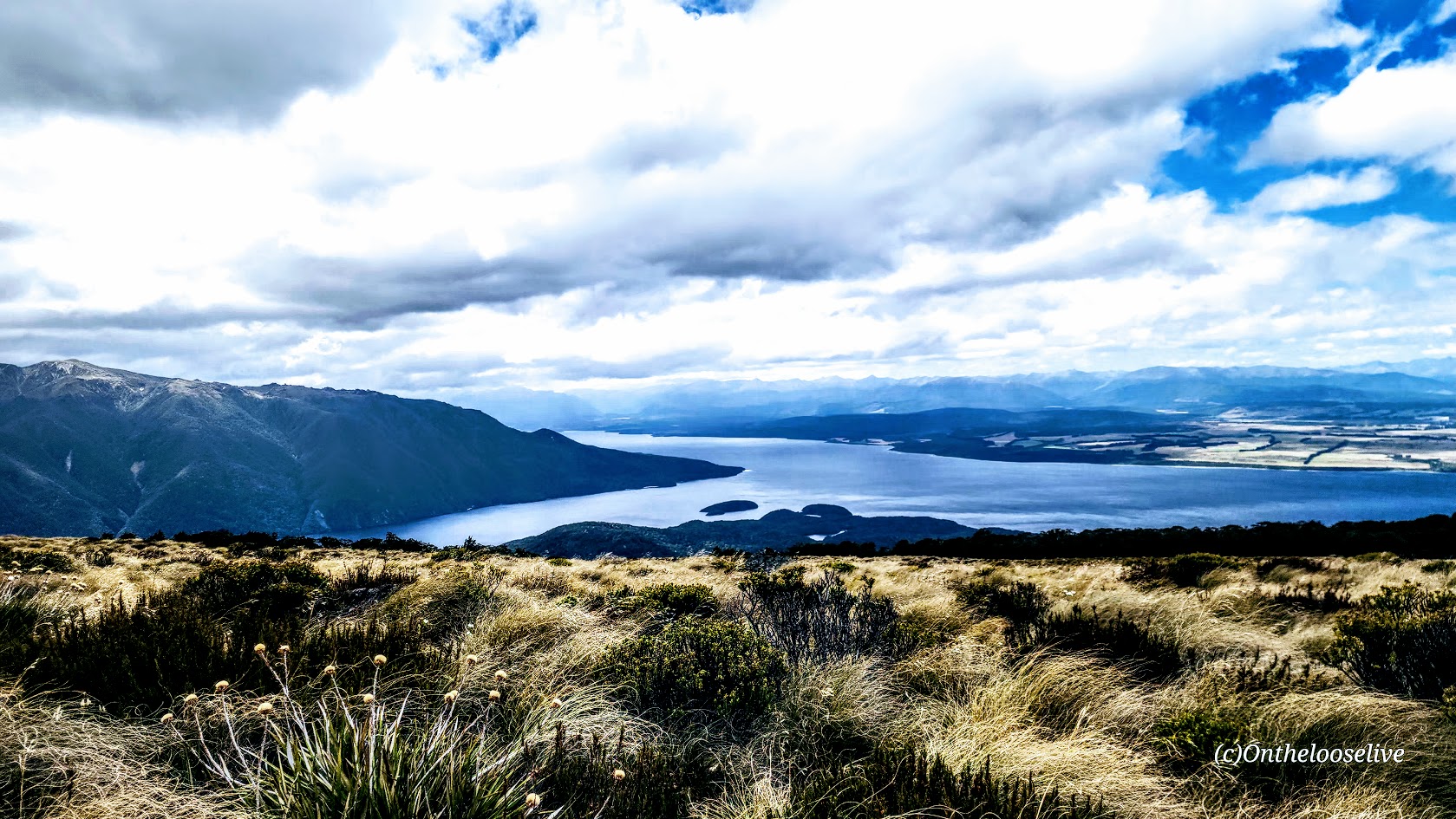
While every day of my Top Bike Tours Portugal adventure was dreamy, the days I enjoyed most were the ones when we arrived at our destination with enough time to simply be there—to wander, explore on our own, stroll along the beach, surf, swim, or just immerse ourselves in the local vibe.
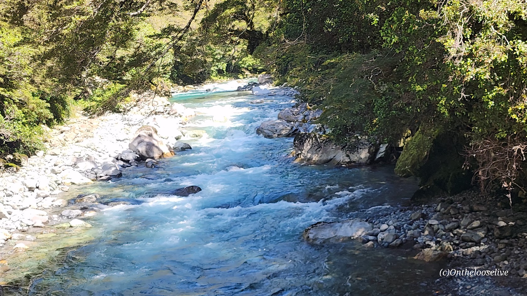
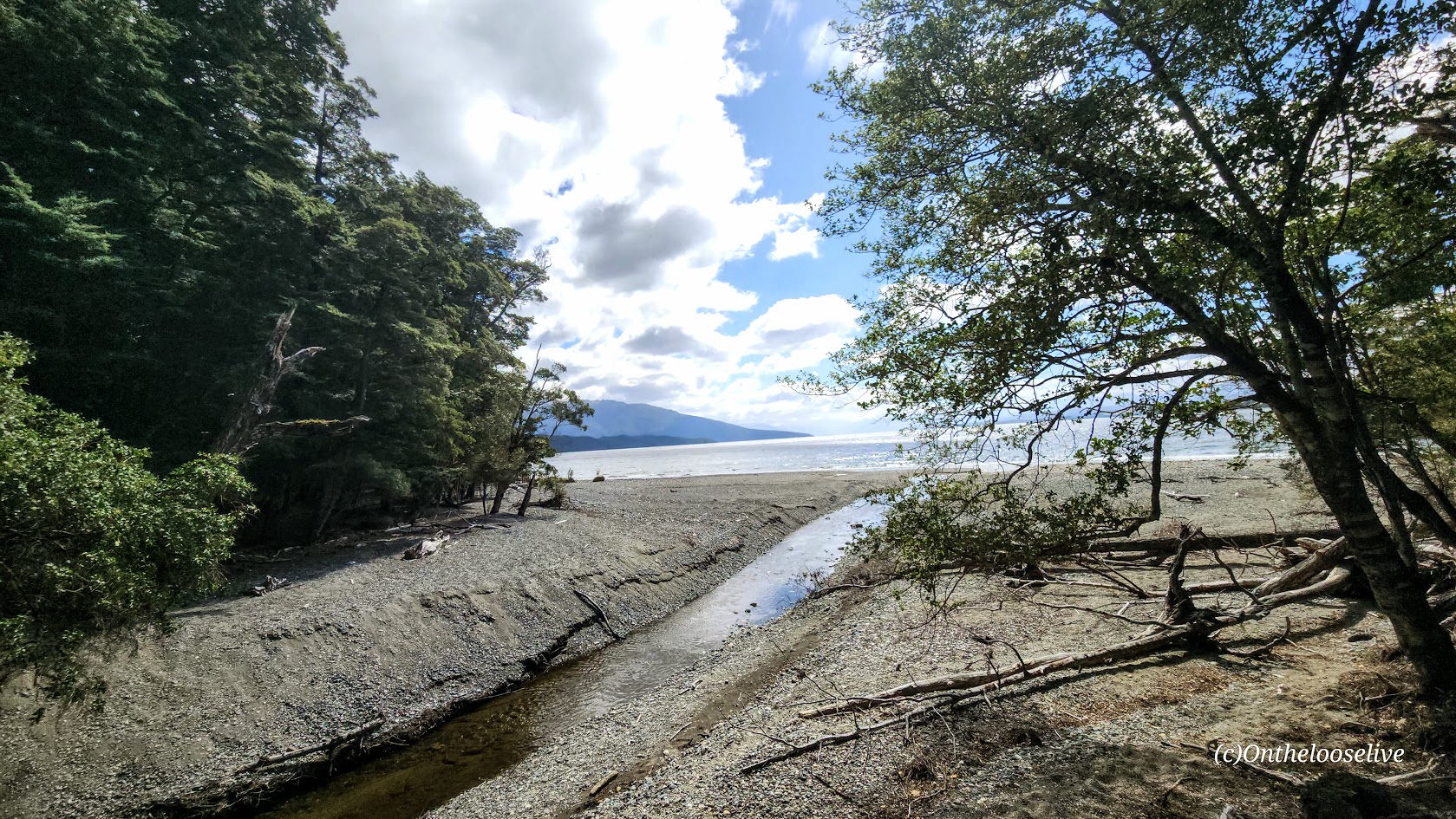
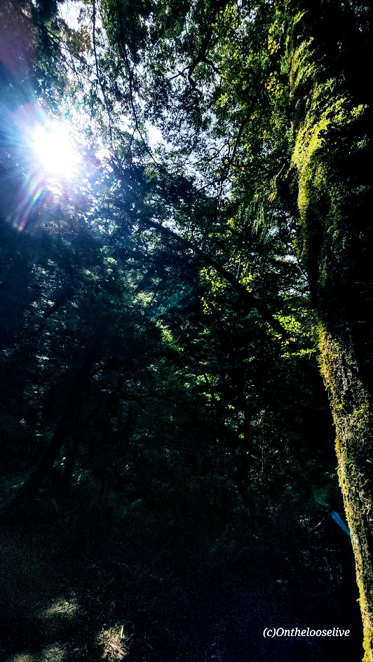
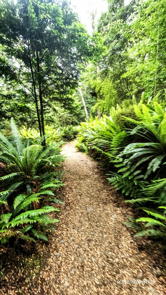
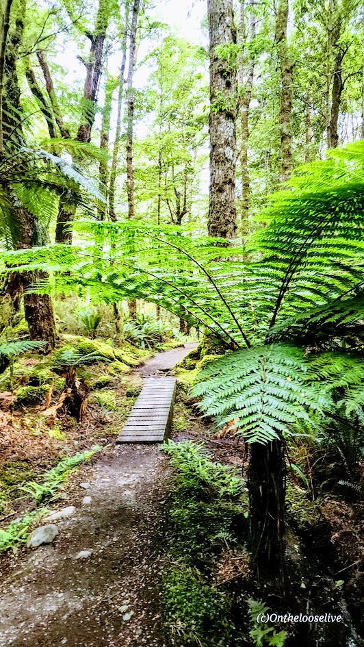
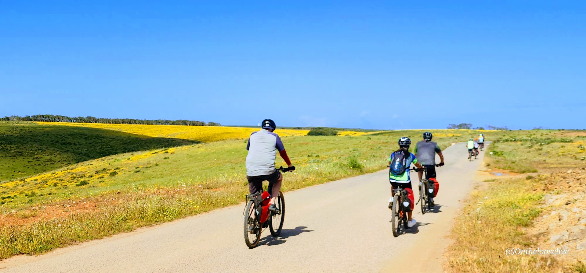
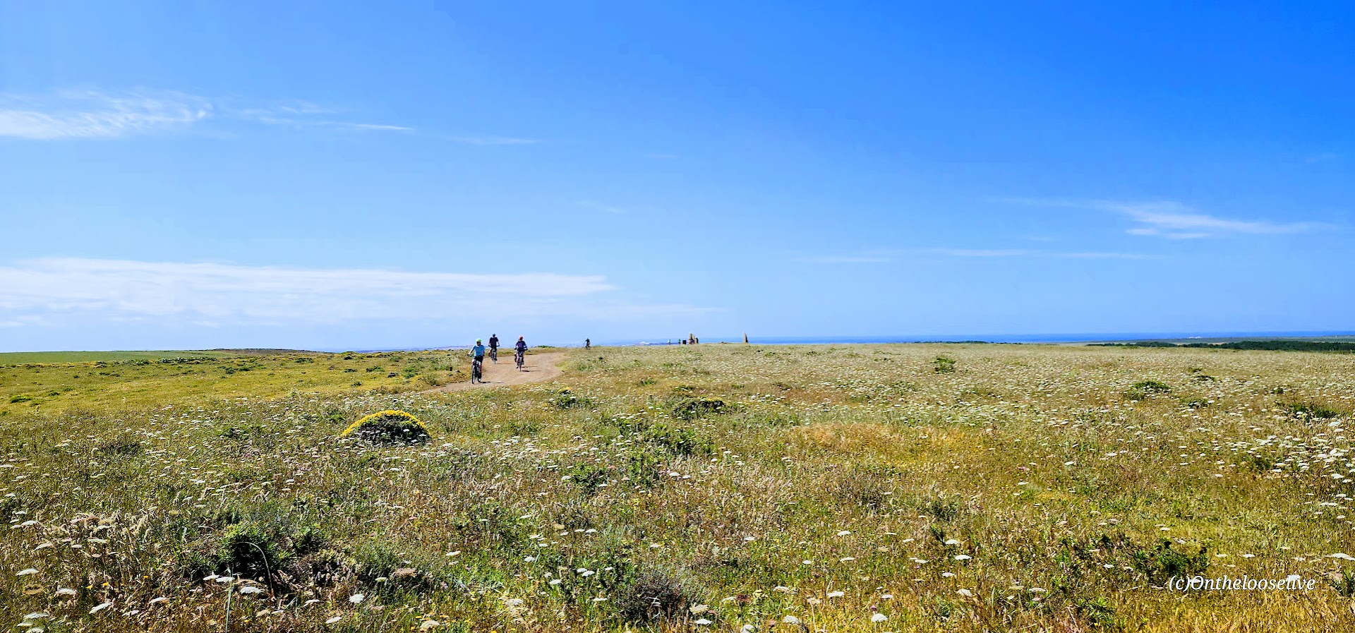
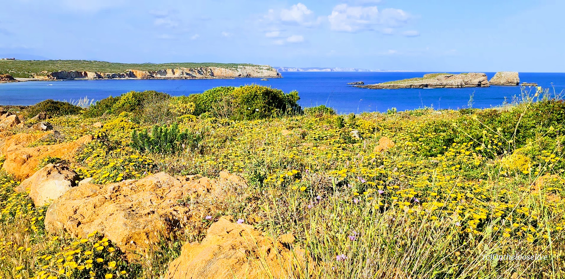
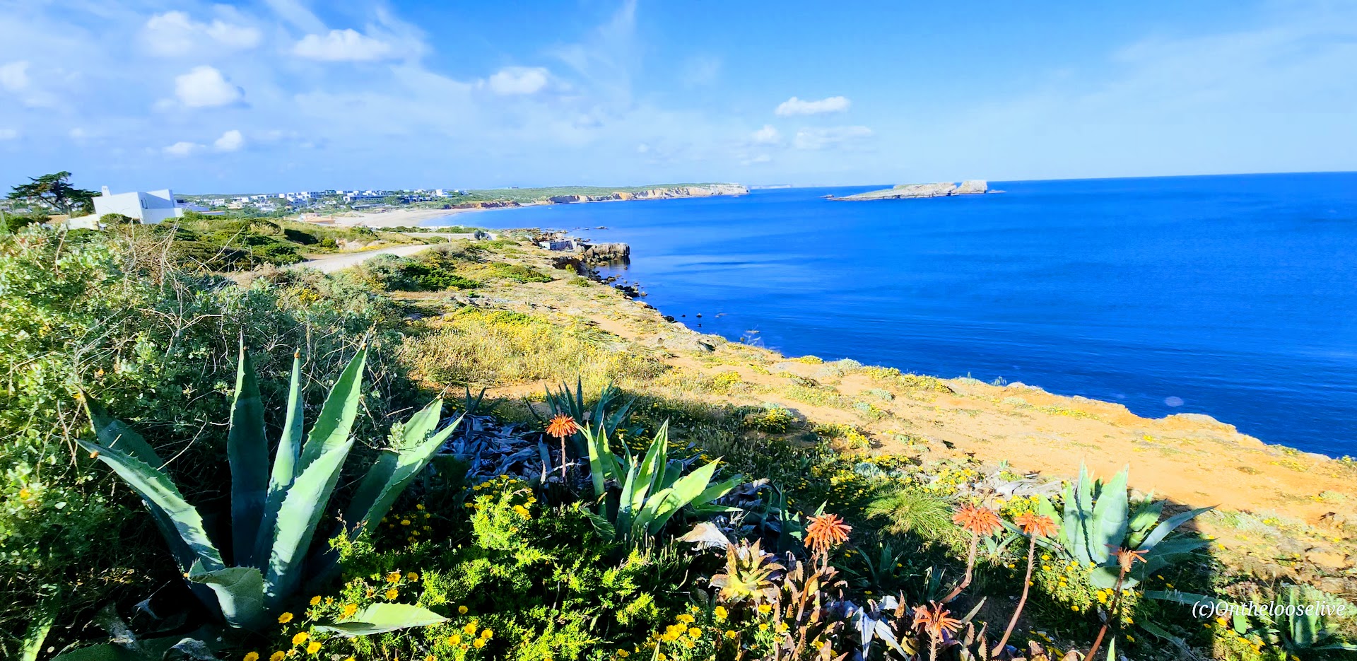
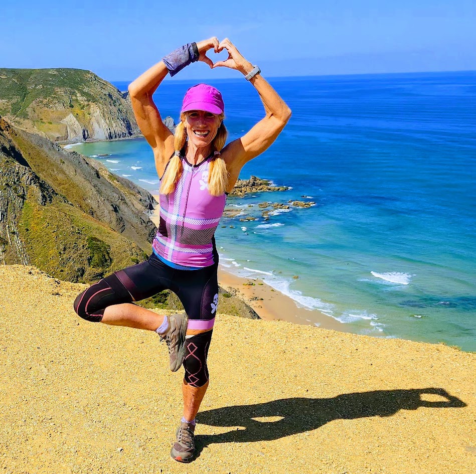
For that reason and others, the second-to-last day of my biking tour stands out as one of my favorites. The morning began with a long, challenging climb, which was rewarded with a cruise down smooth roads and along scenic, coastal gravel paths. With only 20 miles to cover, it was an easy day that left us with plenty of energy and time to enjoy our stops along the way, and to relax by the sea in Sagres that afternoon and evening.
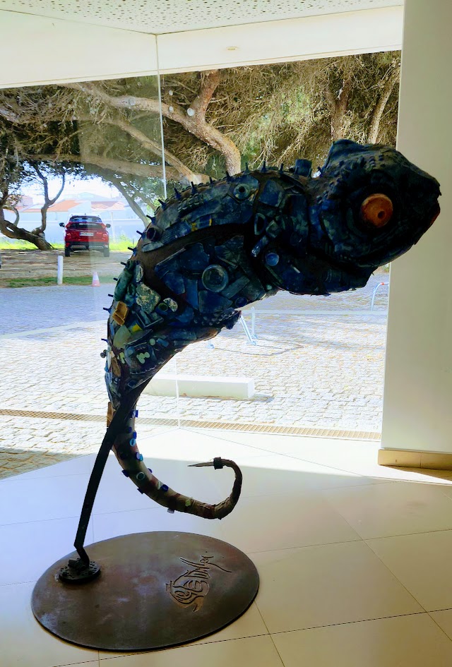
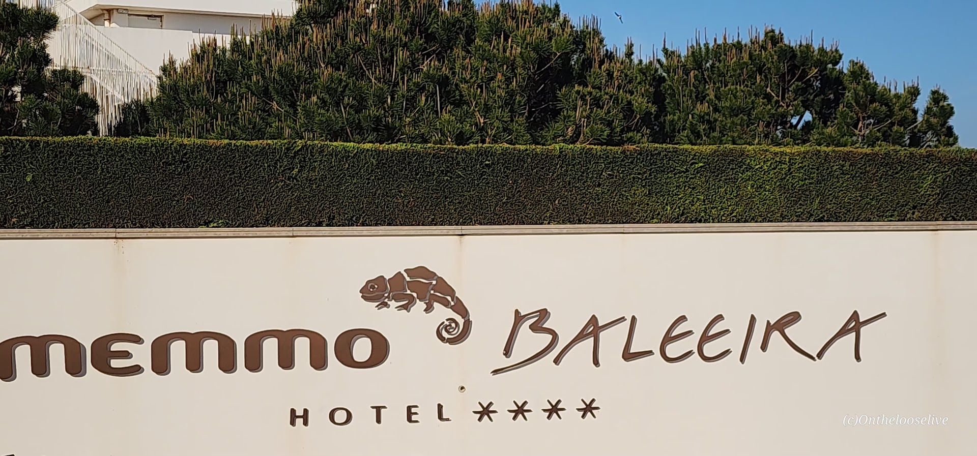
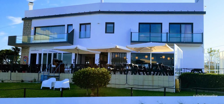
It certainly didn’t hurt that our accommodations for the night were at the 4-star Memmo Baleeira. This upscale, resort-style property is typically reserved for those who purchase the premium package. Not sure how I lucked out, but it was an unexpected and very welcome surprise.
Today’s Scenic and Historical Stops
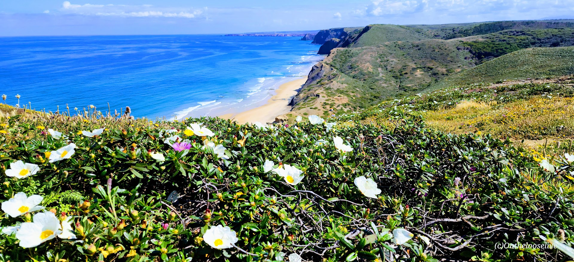
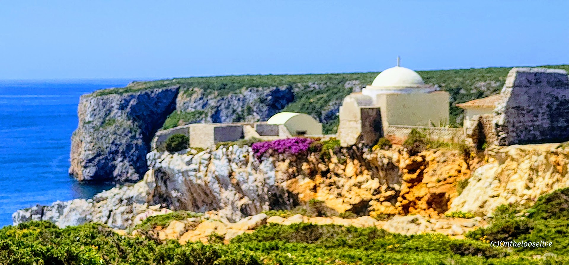
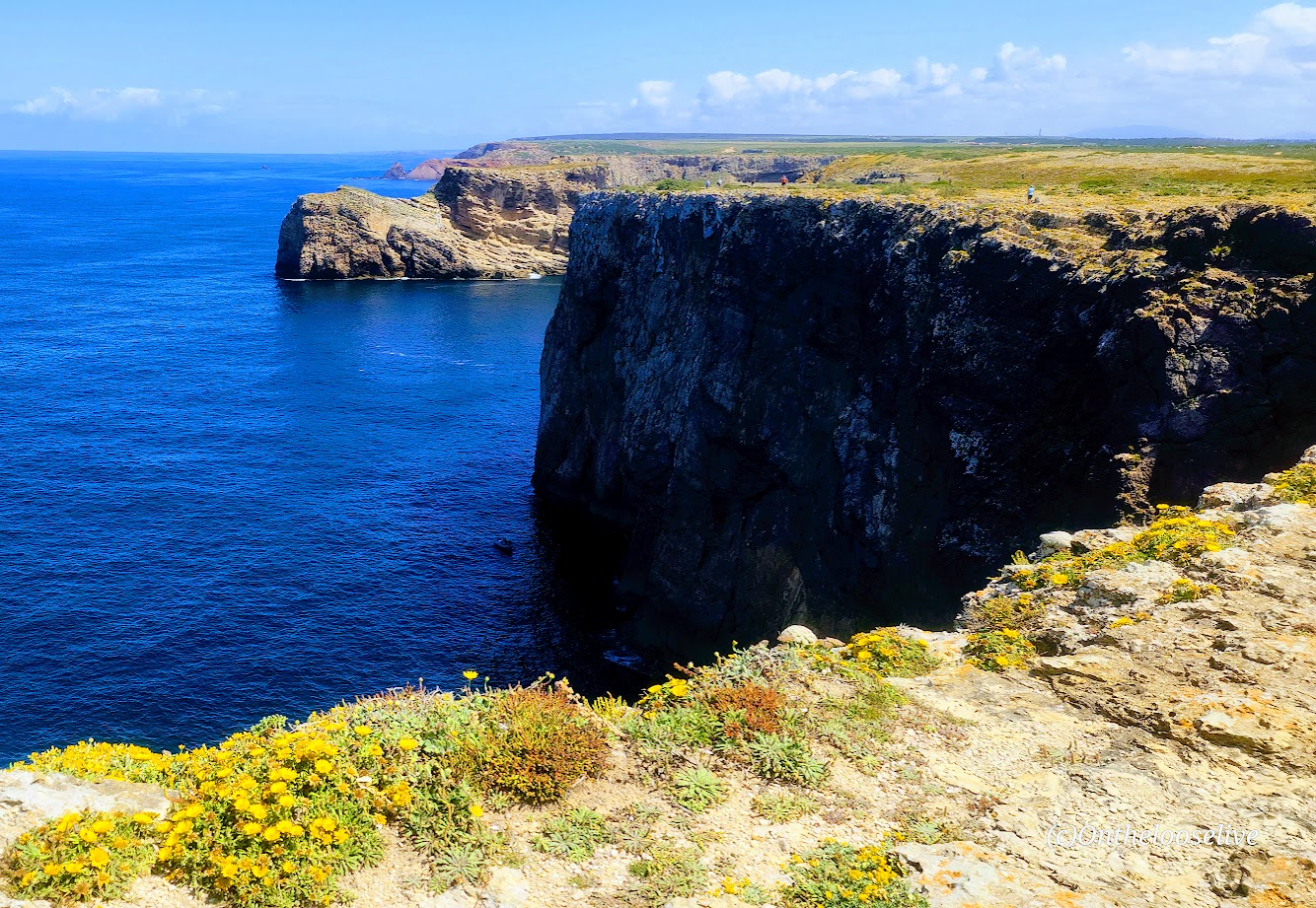
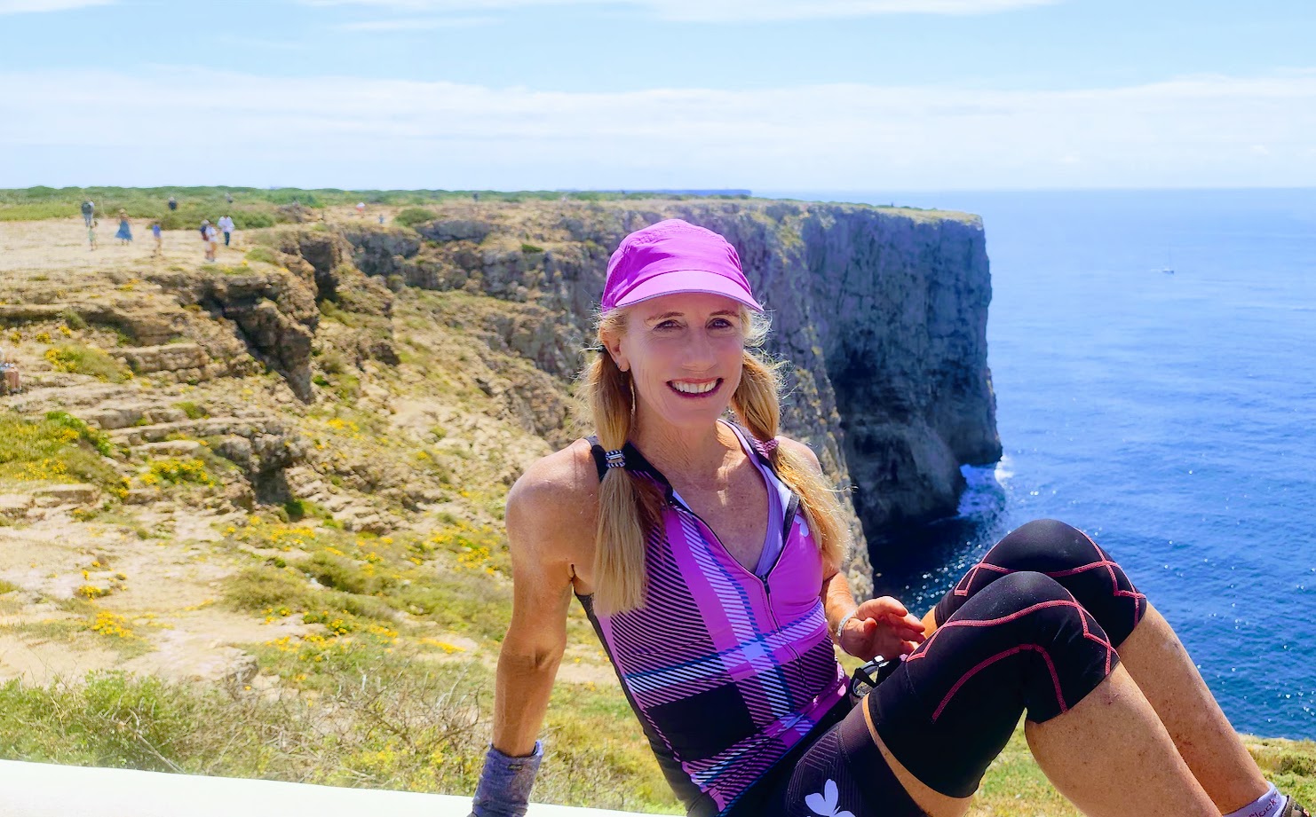
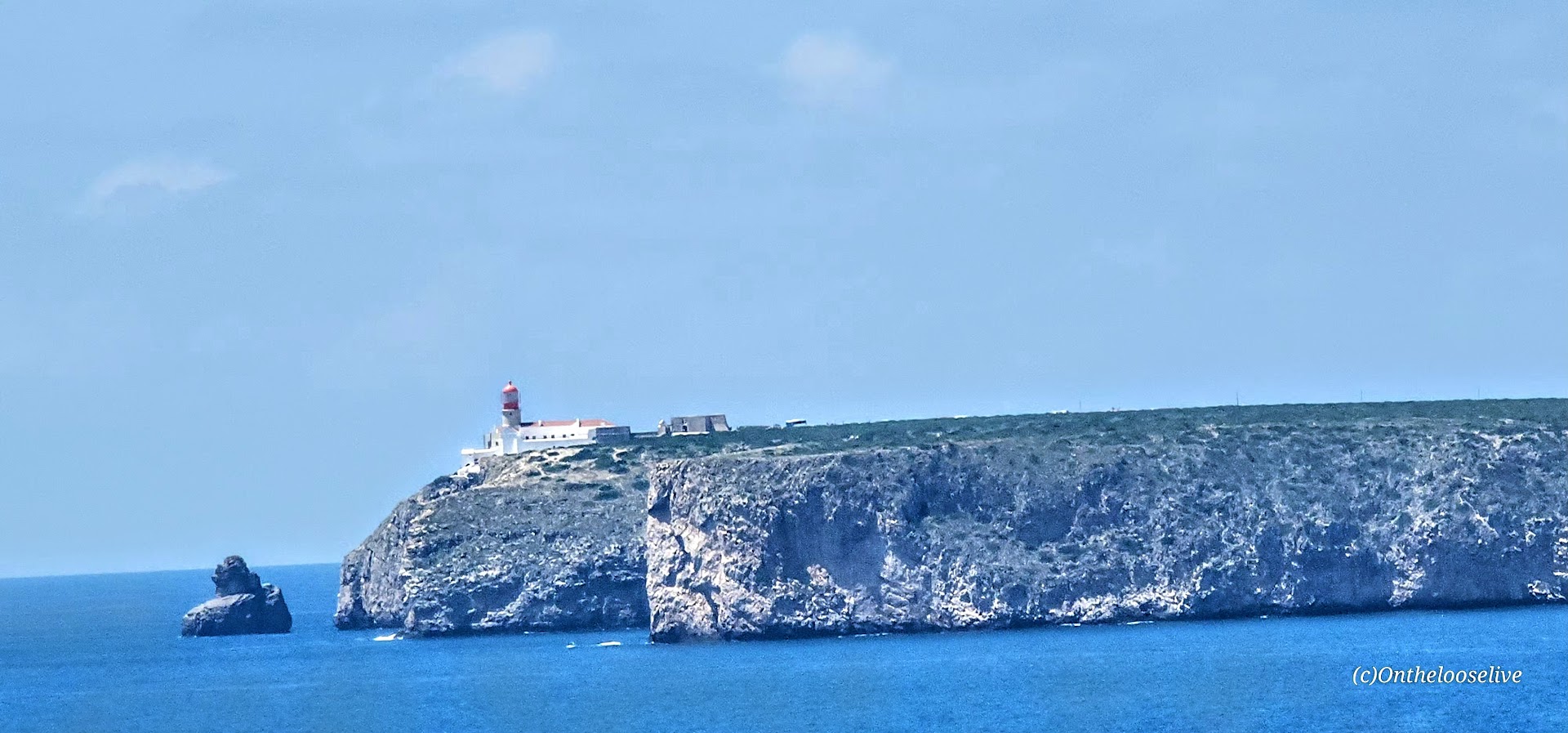
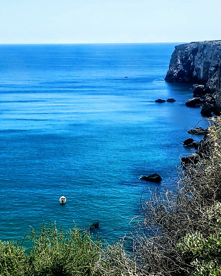
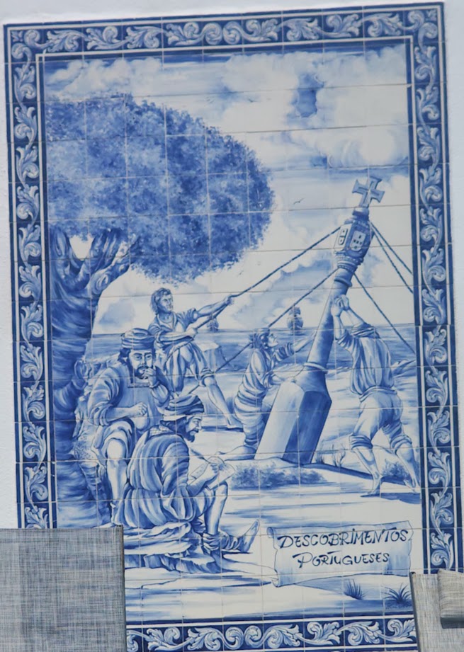
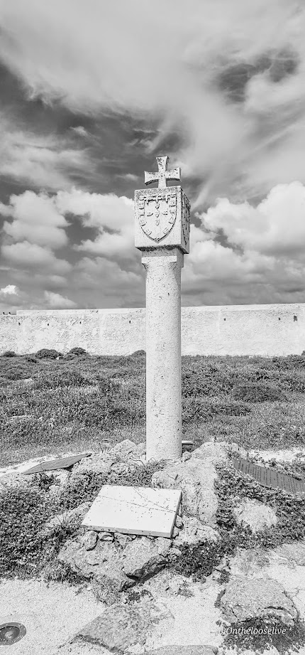
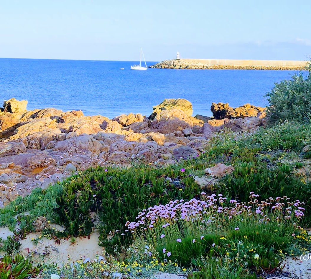
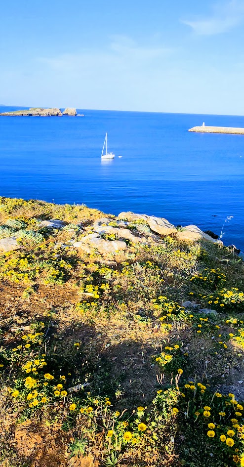
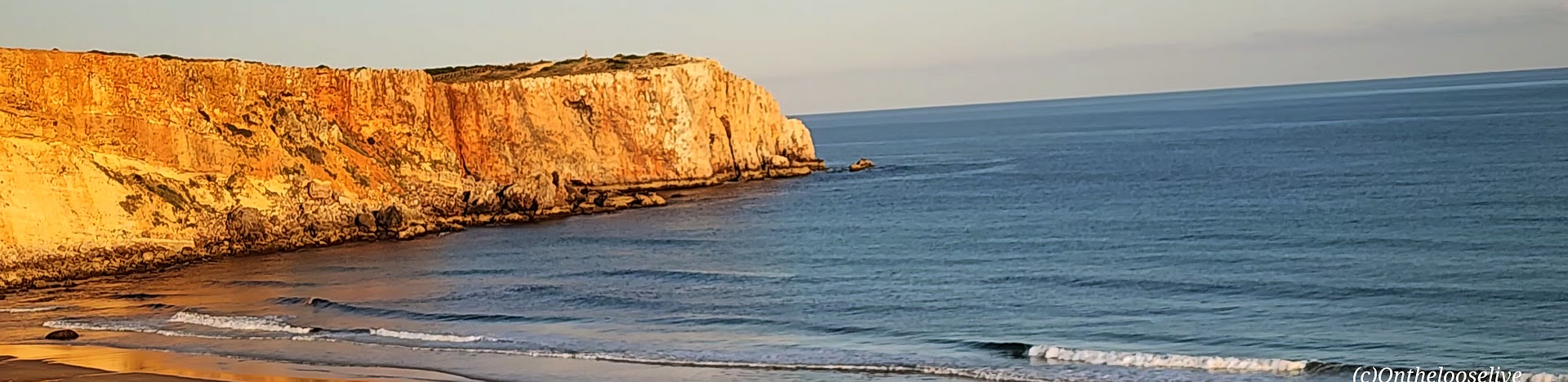
Cape St. Vincent (Cabo de São Vicente): This extreme southwestern point of mainland Europe was known as the legendary “end of the world” during the Age of Discoveries as it was the last explored point-the edge that dropped into the Atlantic and the unknown.
Indeed, ancient civilizations considered this windswept promontory a holy gathering place for their gods and the Romans referred to it as the Promontorium Sacrum (Sacred Promontory) or “the end of the world.” The name Sagres itself is derived from the Latin word sacrum (meaning “holy” or “sacred).
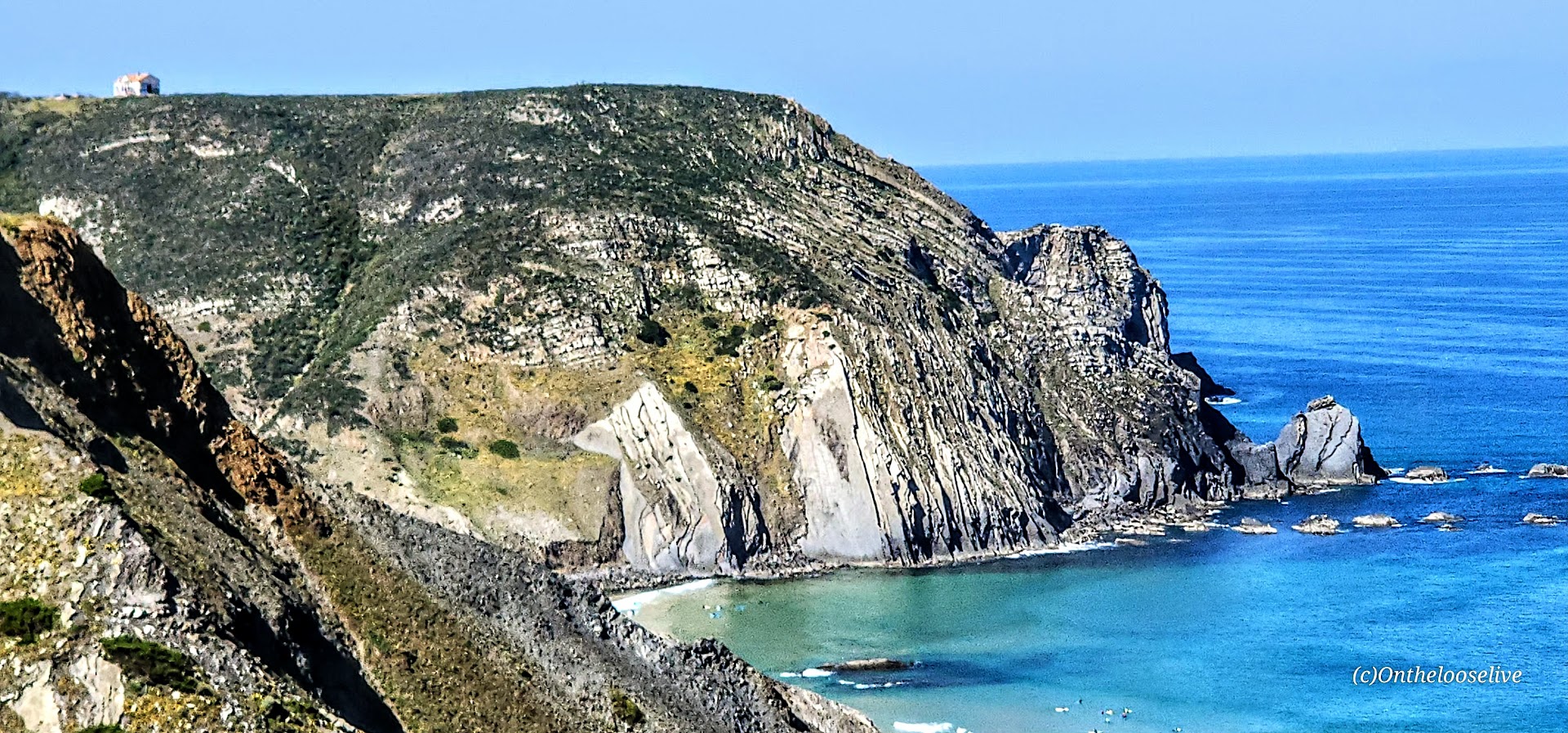
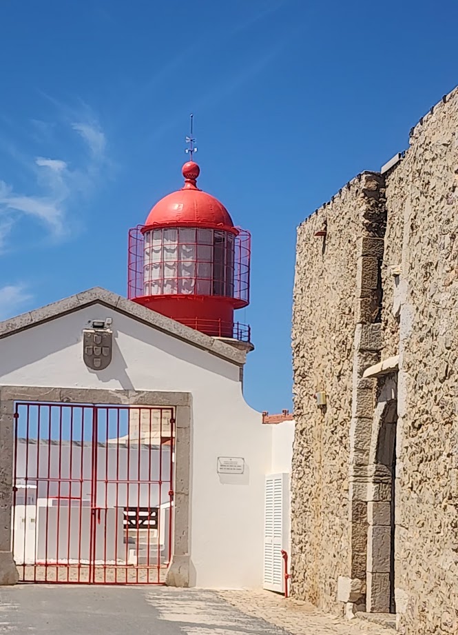
Farol do Cabo de São Vicente Set on a dramatic cliff presiding ~ 250 feet above the restless and unruly Atlantic, thelighthouse (farol ) here is one of the most powerful lighthouses in Europe.
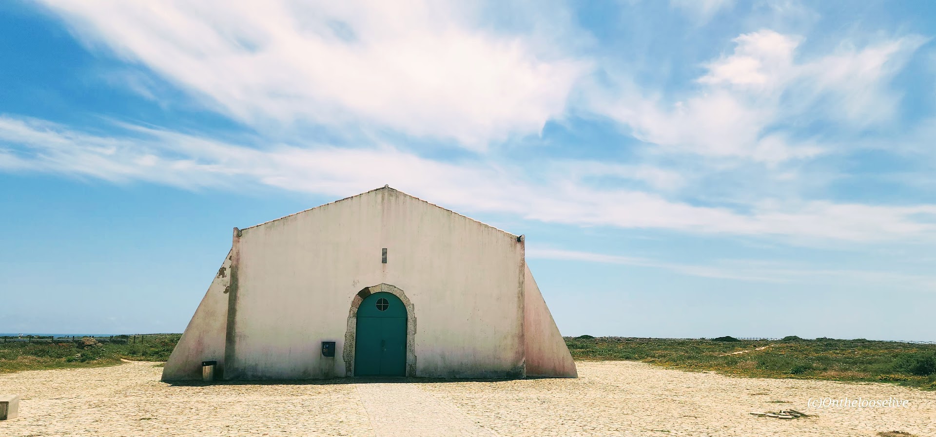
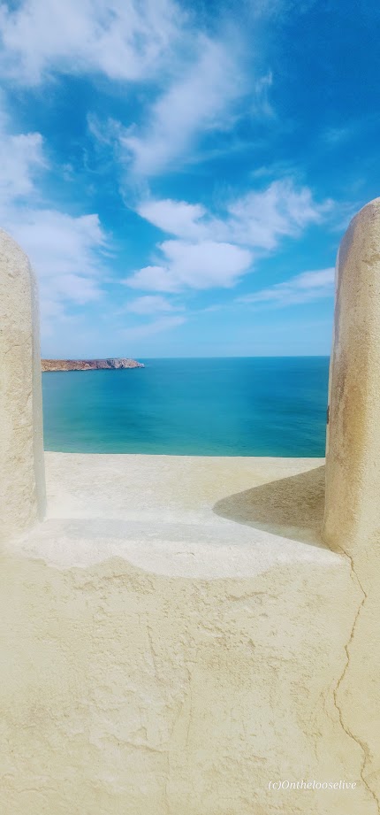
The Fortress of Sagres
Featuring Renaissance-Mannerist architecture, the impressive, photogenic 15th-century Fortress of Sagres was commissioned by Prince Henry the Navigator. Damaged in the 1775 Lisbon earthquake, it was rebuilt in the late 18th century and underwent major renovations in 1960s, 1990s, and 2010.

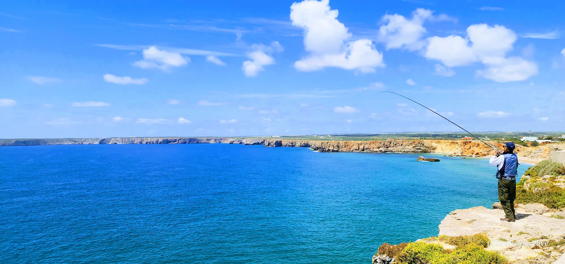
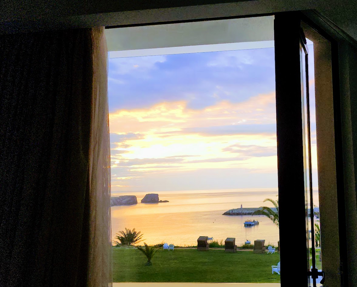
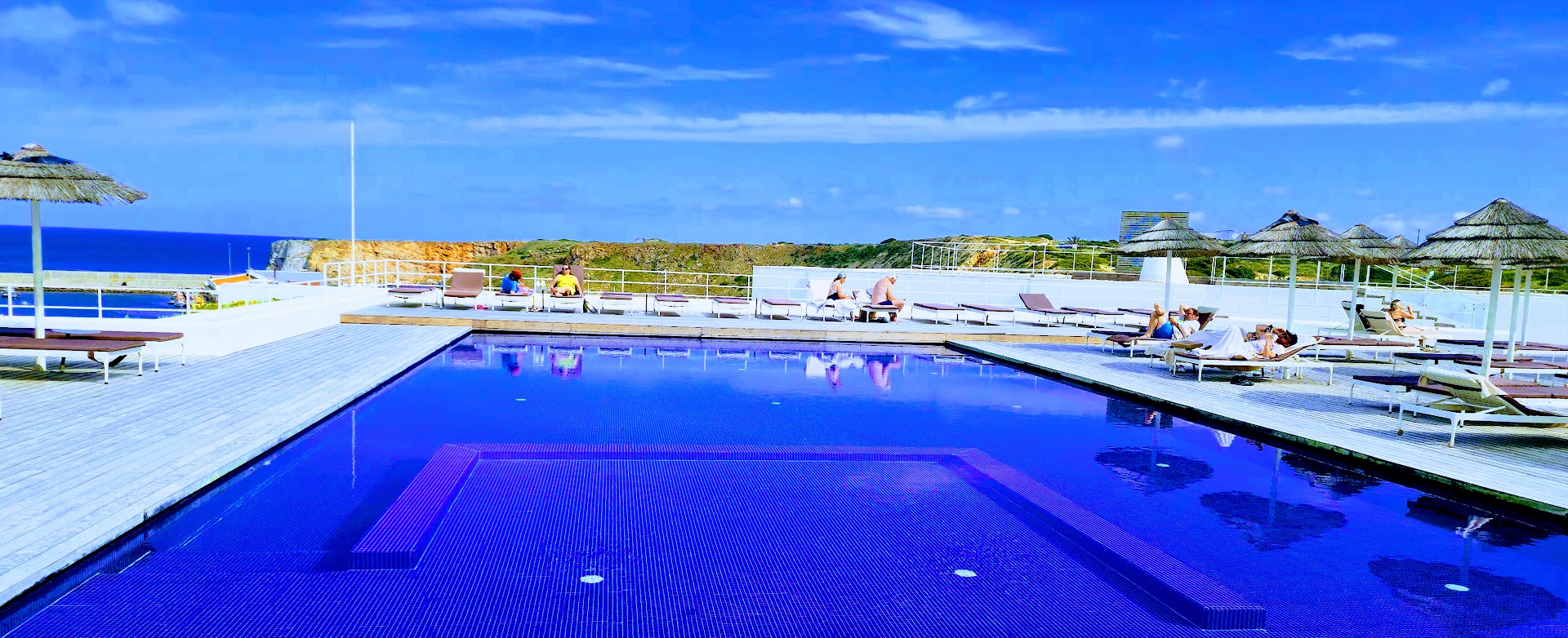
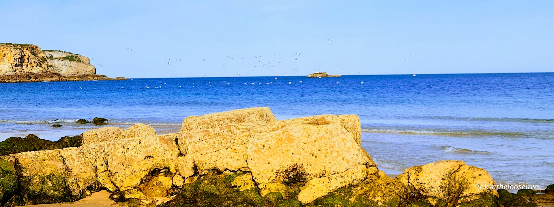
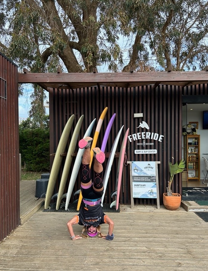
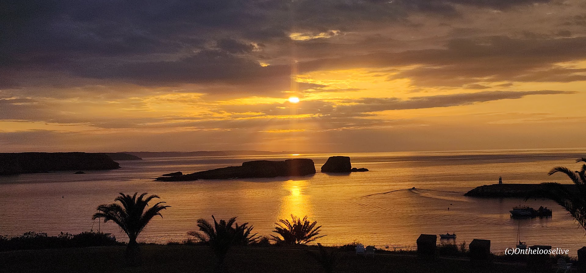
Staying at the Memmo Baleeira was a premium experience indeed — beautiful room and pool with sea views. And I took full advantage – went for a late afternoon swim in the pool, a sunset walk on the beach where I had it all to myself. While the water was calm and flat, I learned that Sagres is known for having some of the best and most consistent surfing in Europe because the peninsula juts out, capturing good waves regardless of wind direction.
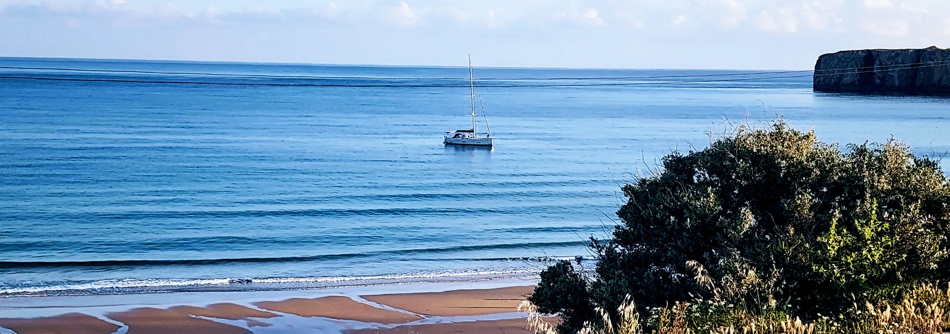
After my stroll on the beach, I enjoyed dinner alfresco with a sea view. The owner introduced himself and treated me to shots of a potent local liquor to celebrate the restaurant’s recent opening. Oddly, I can’t recall the name of the alcohol…lol.
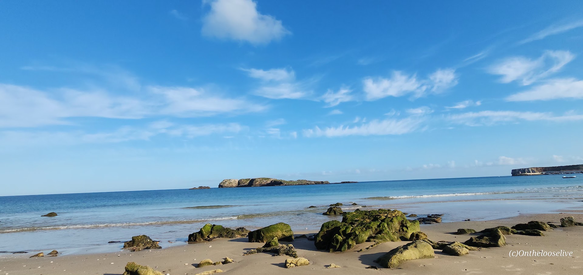
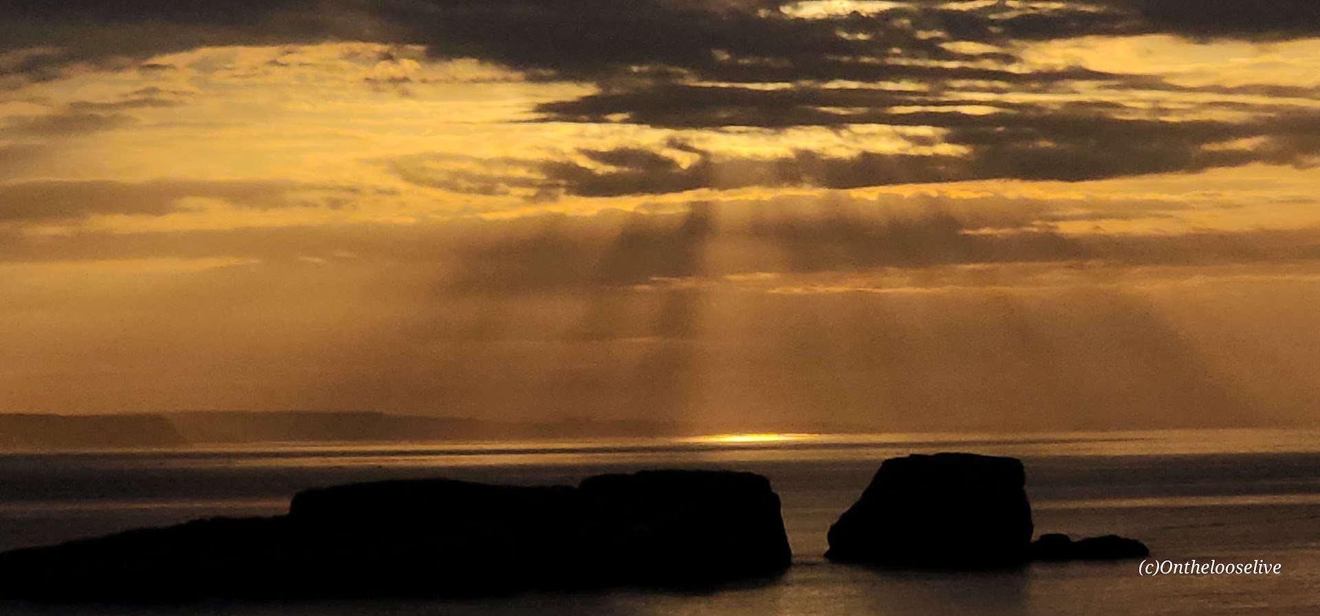
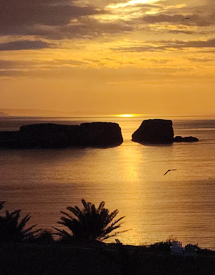
At the end of the day, I fell into my luxurious bed at the Memmo Baleeira and had my best sleep of the week. In the morning, I awoke well-rested to watch the sunrise over the sea as the swallows swooped and the seagulls called to each other.
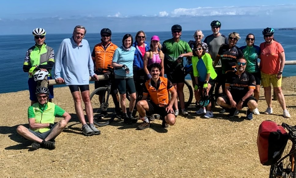
It was bittersweet to realize that today would be the final day of our incredible bike tour. Usually, by the end of a touring adventure, I’m ready to move on. Not this time. I would have been perfectly happy to continue the journey through the country with Top Bike Tours of Portugal.
Happy adventures!