Difficulty: Depends on your fitness level and whether you’re self-propelled or e-propelled (Class 1 only). It also depends on your sensitivity to, or acclimatization to, altitude, as you’ll be +/- 8k ft.
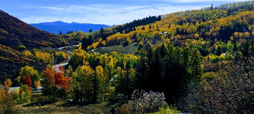
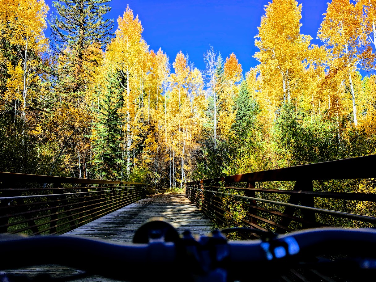
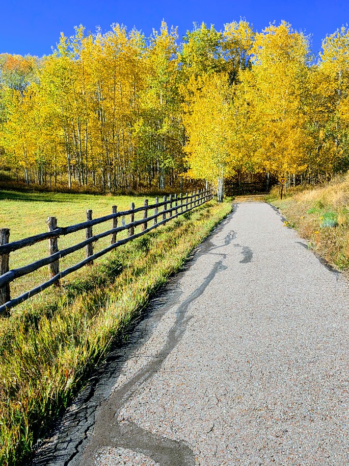
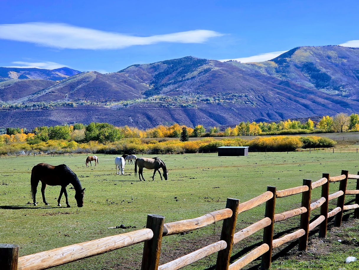
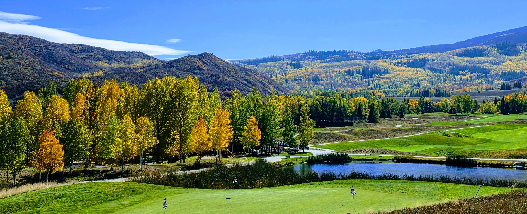
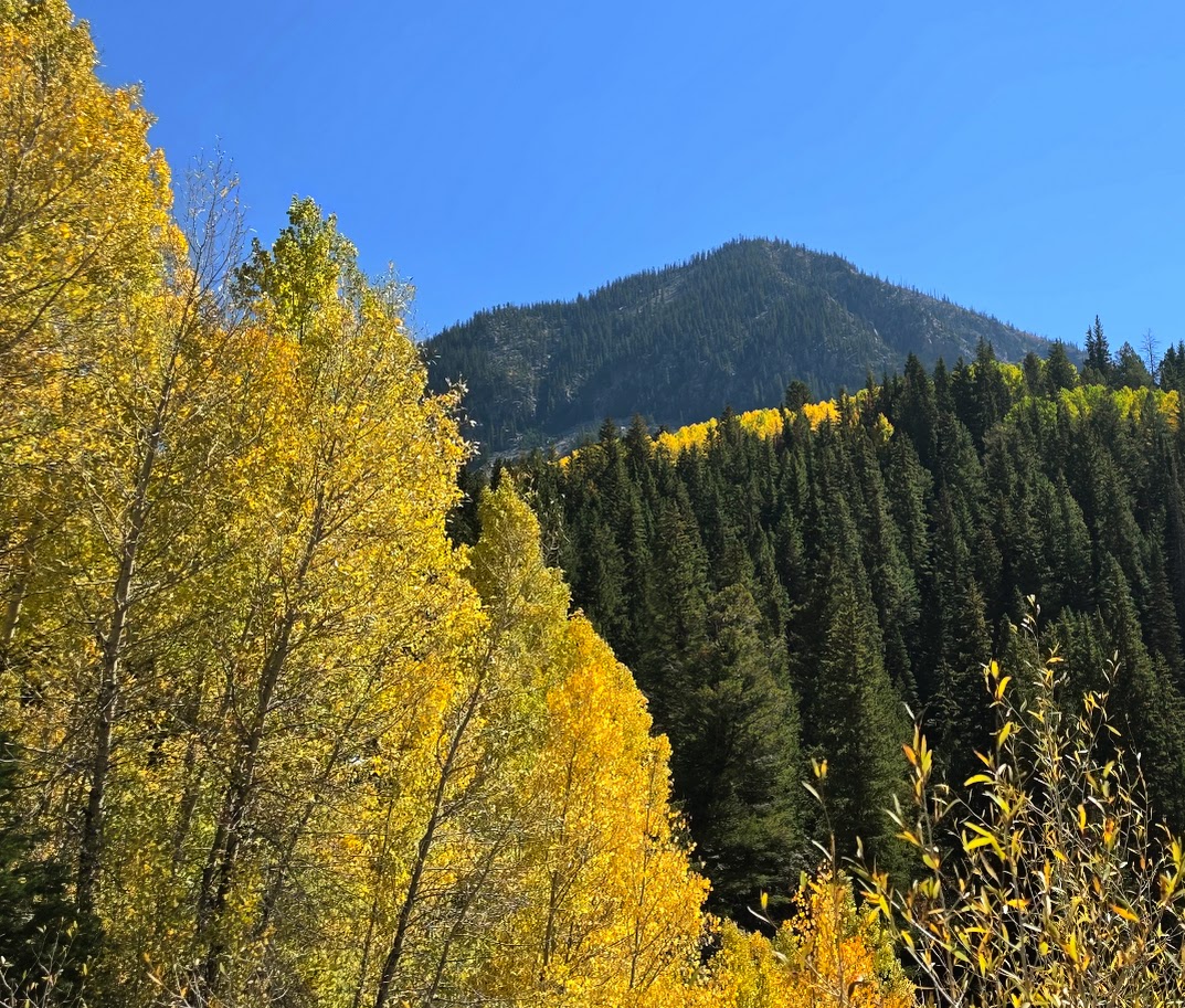
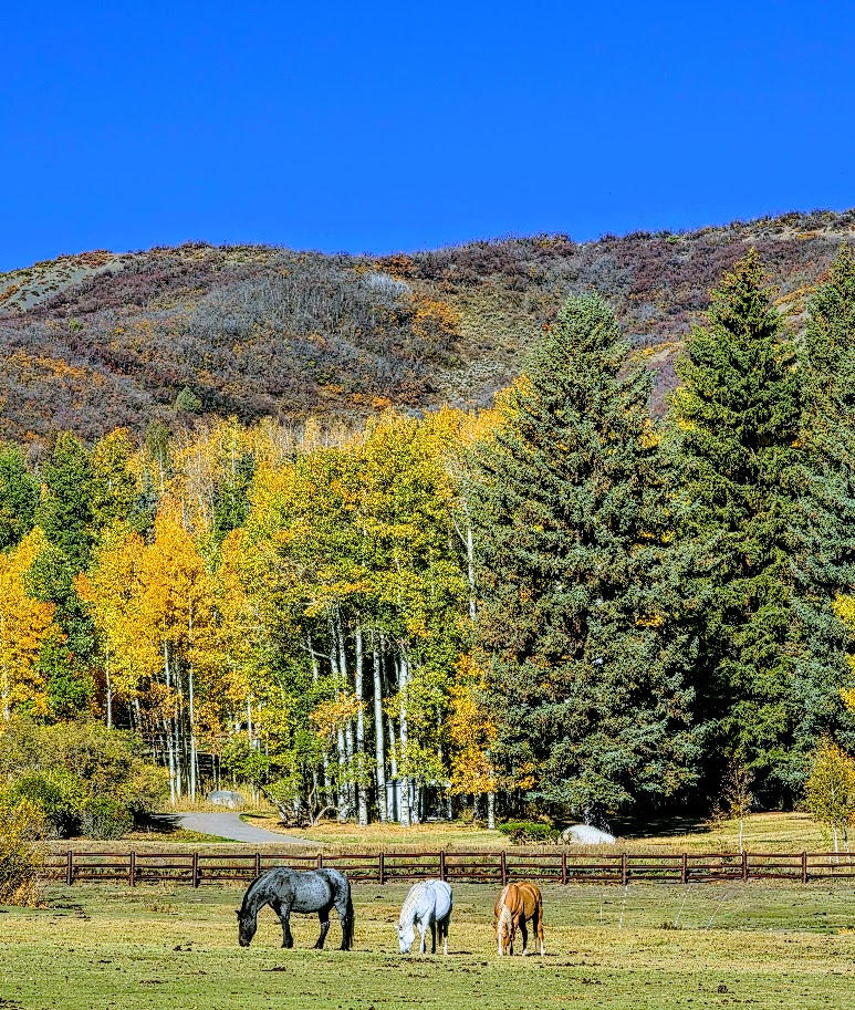
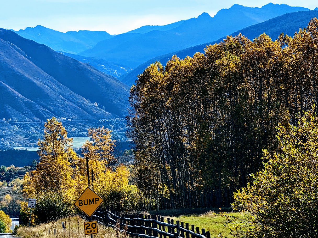
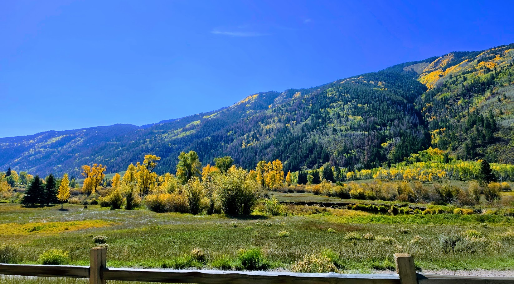
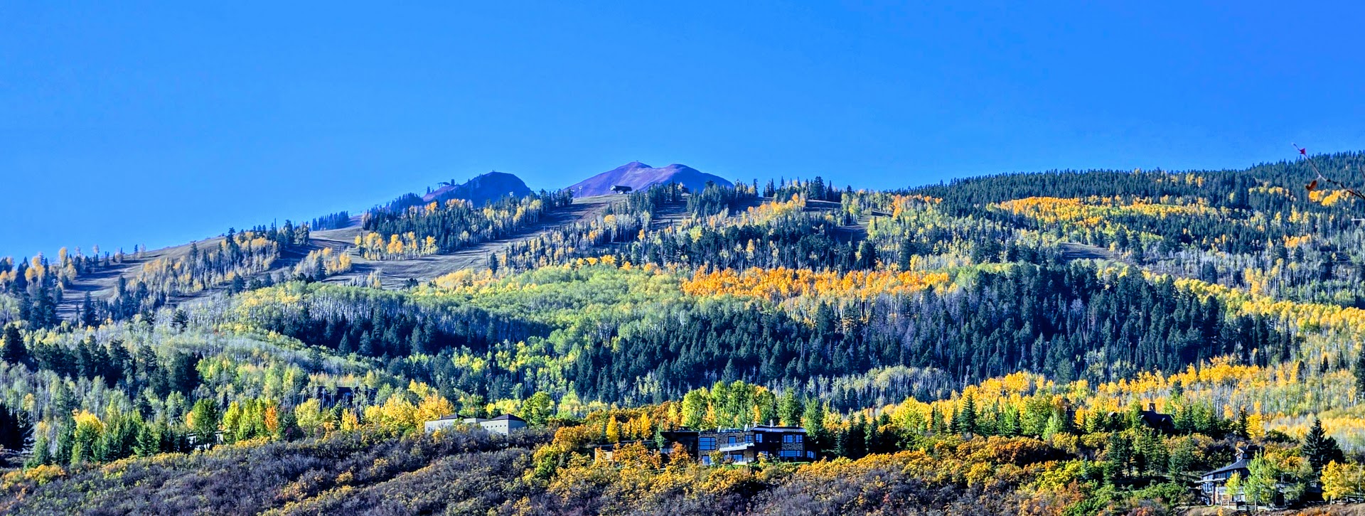
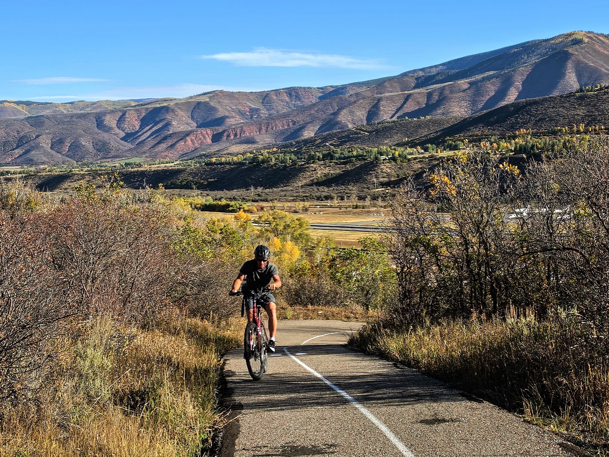
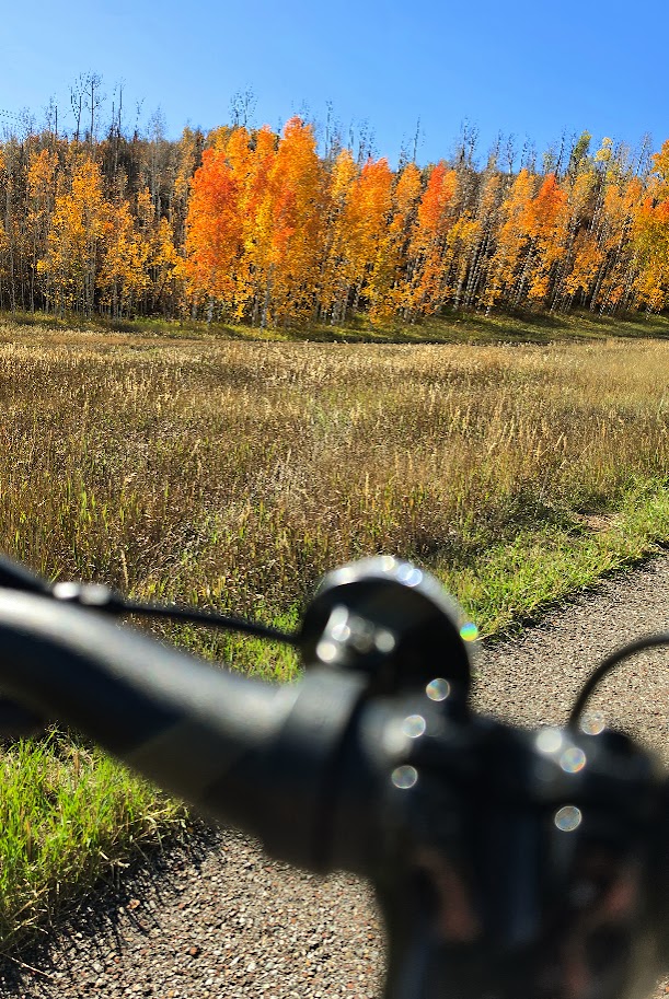
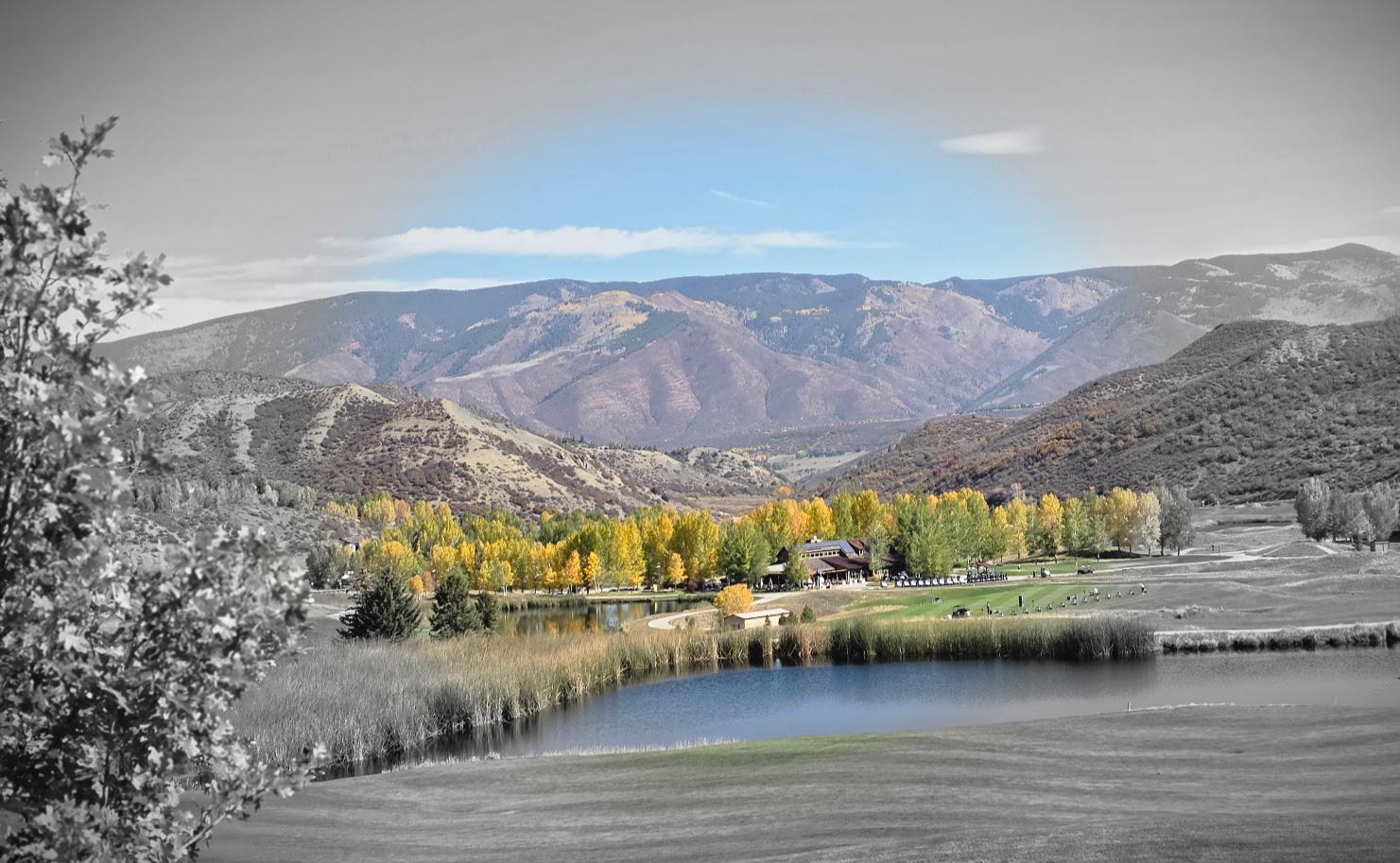
This lovely path starts near the airport and winds through scenic horse farms and aspen groves, crossing tree-covered bridges. If you are in Aspen in the Fall, you must make time for this quintessential Autumn experience—on foot or wheels.
I let the beauty be my guide and explored some offshoot roads along the way. Disclaimer: if you “chose your own adventure,” as I did, you’ll likely encounter more elevation gain. My total gain was ~1,600 ft.
Bike rentals are available in Aspen and Snowmass. My favorite place to stay is the Inn at Aspen, which is at the Buttermilk start of the bike path. The Inn has a limited supply of standard bike rentals and also arranges e-bike delivery through a vendor. It also has a pool and jacuzzi, a BBQ restaurant, great entertainment, and free shuttle rides into town too. (Top pick post to come.)
Another popular paved path is the Rio Grande Trail, a 42-mile trail between Aspen and Glenwood Springs. I wanted to sample this one too, but unfortunately, I ran out of time.
Aspen and the surrounding Roaring Fork Valley are designated by the International Mountain Bicycling Association as a Gold-Level Ride Center and an overall biking Mecca for their world-class paved paths, road cycling, and rugged singletrack. Whether you’re into mountain biking, road biking, gravel biking, fat biking, trail running, or hiking (of course), Aspen has it all. I can’t wait to return with my road and gravel bikes.
The Wildflower Trail, The Easy Way: Via the Snowbird Ski Resort Tram: 1 mile rt + ~400ft elevation gain – Begin at Hidden Peak, wind down switchbacks through Mineral Basin and through the Peruvian Tunnel.
The Hard Way From the Bottom of the Tram: + 7.5 miles + ~3k ft elevation gain (Take the tram down or double your mileage)
Continue to Cecret Lake Saddle Overlook: add ~ 2 miles with a total of 4,524 elevation gain (Take the tram down or double your mileage.)
If you know me by now, you won’t be surprised that I took “the hard way” up (alternating between the fire road and the multiuse Big Mountain Trail (keep your eyes and ears open for downhill mountain bikers) to the Wildflower Trail and beyond to Cecret Lake via Gorilla Pass and Mount Baldy. This time, it wasn’t entirely intentional. I was ready to hike before 8AM, but the tram wasn’t scheduled to tram until 11AM. (Surprising Summer hours, given that hikers usually want to get an early start to avoid afternoon storms.) The solution was obvious—beat the tram up the mountain, and so we did.
The sublime, surreal reward of the Wildflower Trail left me both breathless and speechless. Hopefully, you can see why.
It’s not surprising that this trail is often featured in the annual Wasatch Wildflower Festival a free, annual multi-day summer event hosted by the Cottonwood Canyons Foundation which spans the four Cottonwood Canyons ski resorts (Brighton, Solitude, Snowbird, and Alta) that are just 45 minutes from Salt Lake City. I’ve experienced the California super blooms, which are incredible, but this had a totally different, ethereal feel. Perhaps it’s because there were no traffic jams en route, nor cars piled up by the side of the road, and it wasn’t overrun by too many humans, particularly influencers crushing the wildflowers underfoot and underbody for their shots and the kids and adults picking them. (In fact, I hiked the Wildflower Trail twice around sunset and we had it all to ourselves!) So happy for the spontaneous rendezvous with my dear high school friend Kathy, whom I haven’t seen in forever! What a treat to share the trail with her. She knew all the wildflower names! In the bottom right picture, she is pointing to the coneflowers. The cone is made up of hundreds of tiny disc flowers that turn into seed heads, which provide winter food for goldfinches and songbirds.
Note: The Wildflower Trail hike and the top of the tram (Hidden Peak) are at 11k feet, as is the ridgeline you traverse if you continue on to Mount Badly and beyond to Cecret Lake Saddle or down to the lake itself.
The descent to the connector trail to Cecret Lake is rugged and scarmbly, with loose rocks and slippery scree (See pic below, top row, 3rd to right). It makes you wonder if you’re really on a trail. Not sure what happened there, but it’s a mess and in stark contrast to all the other well-groomed, runnable trails. Proceed with caution if you decide to add on.
Even though you’re at high altitude and it’s cooler than at the bottom, you’re still completely exposed to the intense, alpine sun and susceptible to heat- and altitude-related illness. So remember your sunglasses, hat, sun-cover shirt, and bring plenty of water. (If the restaurant is open, you can refill at the top.) Cautionary tale: My other hiking buddy didn’t bring enough water, didn’t refill at the top, and hiked shirtless, with his dark, tanned back absorbing UV radiation (which, I learned, increases by about 10% for every ~3,280 feet of elevation gain). In my friend’s defense, he thought we were going to take the tram up and hike a shorter hike, and we both forgot to refill our water at the top. Unfortunately, on the tram down, he felt sick from extreme dehydration and heat- and altitude-related illness that nearly sent him to the hospital. (The medic at Snowbird was awesome, as were the firemen.) Fortunately, he recovered fine, but it serves as a stark reminder to both of us that altitude, sun exposure, and dehydration are never to be taken lightly.
Lodging: I highly recommend treating yourself to a stay at the Snowbird Resort. Superb experience, incredibly helpful and accommodating staff, good food, fun times. Keep your eyes open for an upcoming “Top Pick Post” on Snowbird Resort.
Happy Trails!
PSA: Reminder, please don’t pick or walk on the wildflowers anywhere; it harms the delicate ecosystem, impacts pollinators, and means fewer flowers each year.
Challenge yourself to find creative photo op solutions. (I scouted the shot above with the wildflowers in the foreground by placing myself on the switchback of the trail ahead, so it appears that I am standing in an uninterrupted field of wildflowers.)
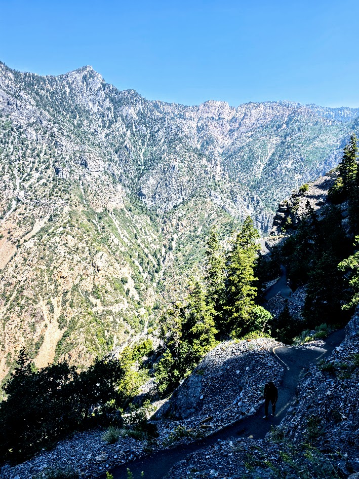
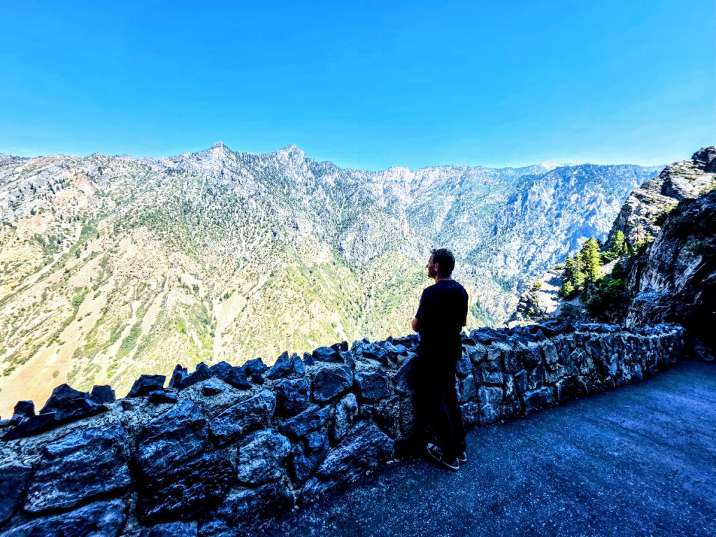
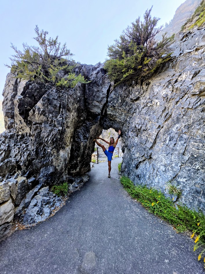
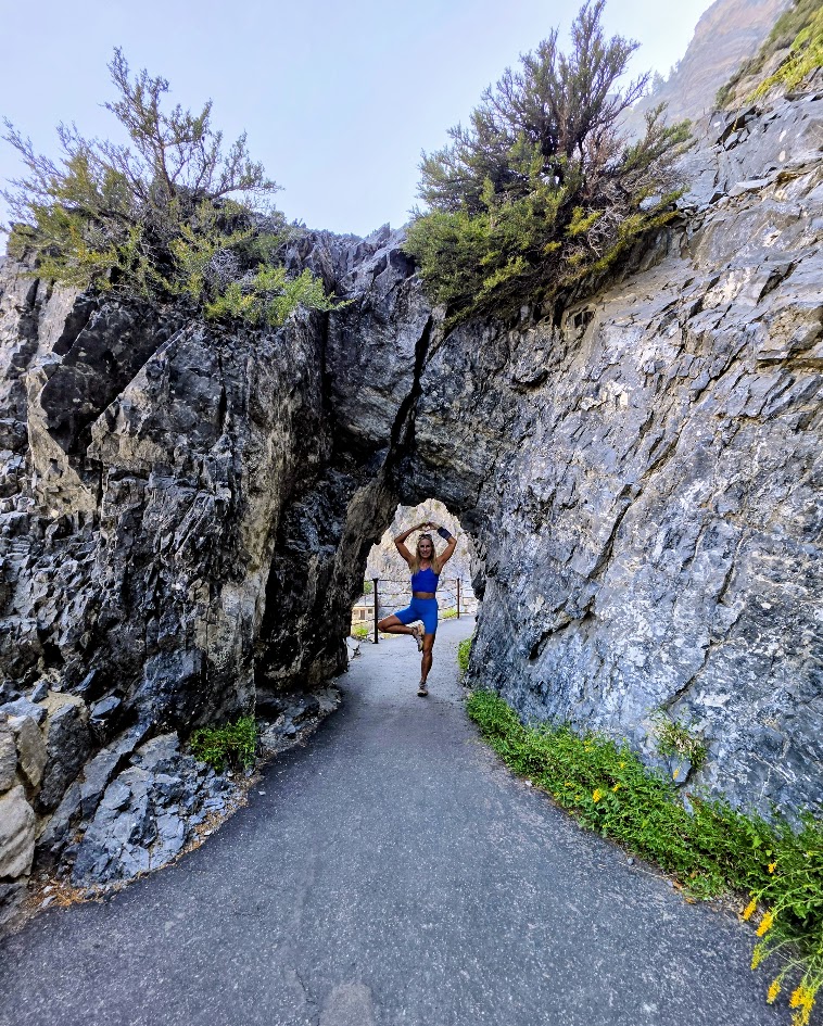
Difficulty: It’s a steep, sun-exposed, paved trail. Know your limits. (Hats, water, running or hiking shoes.)
Cave Temps: 43° to 49°F, wear layers
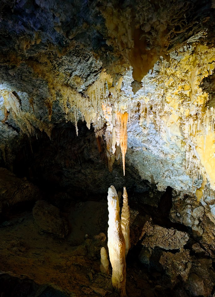
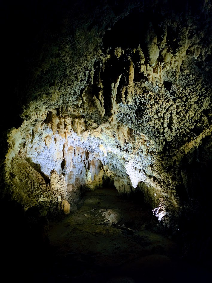
Scenic Location: The Timpanogos Cave system (Hansen, Middle, and Timpanogos) is located on the south side of the steep-walled American Fork Canyon, in the center of the Wasatch Range at the convergence of the Great Basin, Unita Basin, and the Unita Mountains.
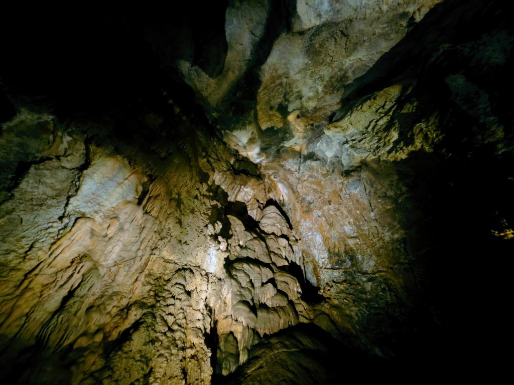
The 3 caves are located an average of 150–400 feet below the surface. Most of the ceilings are 5 feet or higher, so if you have slight claustrophobia like I do, you’ll be fine.
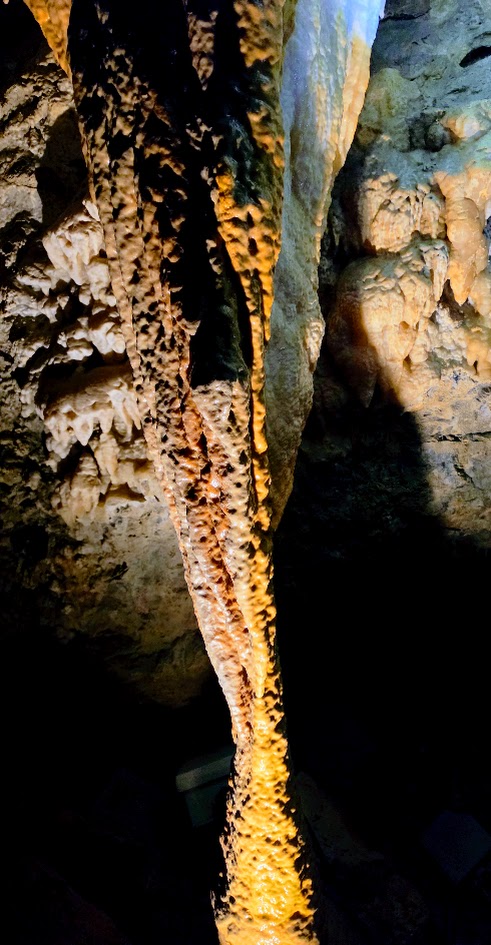
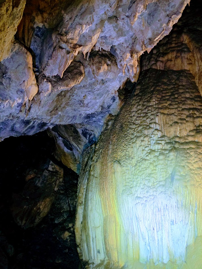
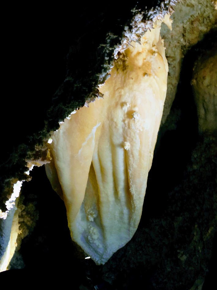
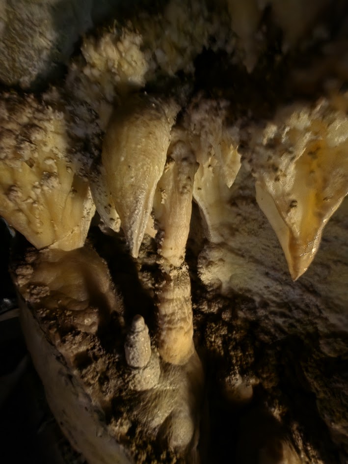
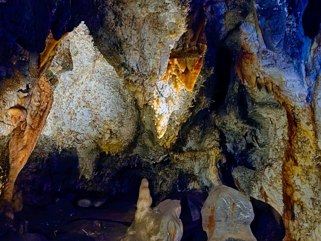
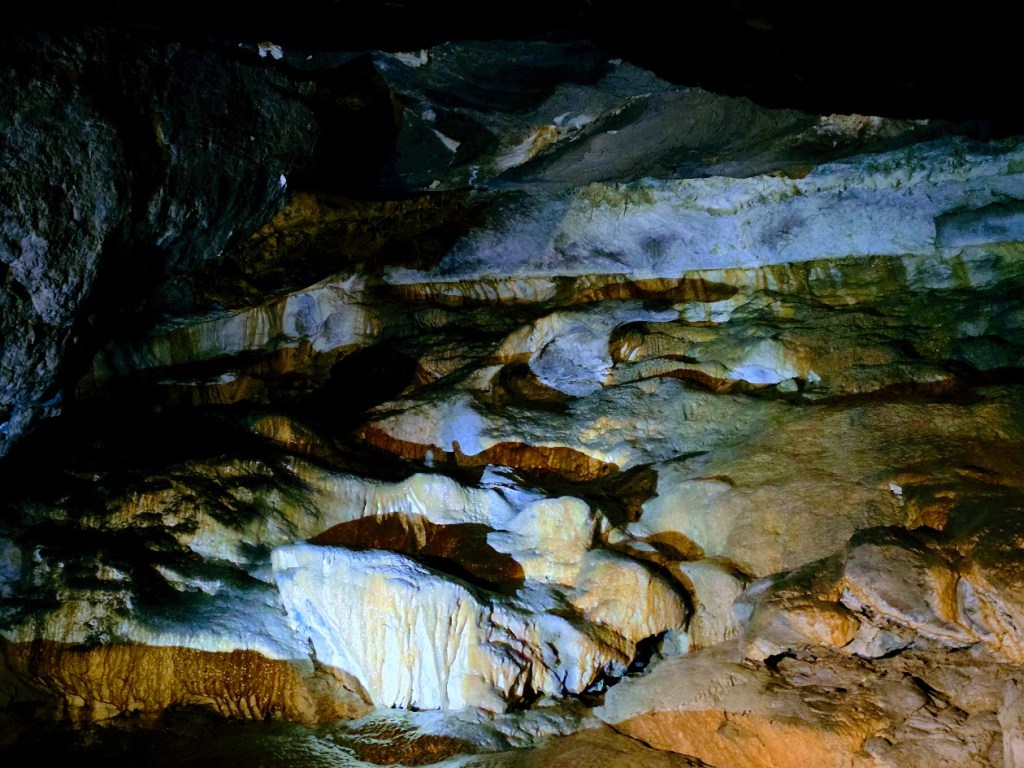
The caves formed along three minor faults and the bedding planes in the Tetro and Uncle Joe Members of the Deseret Formation. They are distinguished by vibrant colors and plentiful delicate helictites (sideways, curving), rare anthodites (flower/snowflake/coral-like), and stalactites (hanging from the cave ceilings like icicles) and stalagmites (rising from the cave floor). The mineral deposits that form from slow drops of water over the ages and sometimes meet, connecting to form stalagnates—single pillars from the cave’s ceiling to its floor. All of these structures take thousands of years to “grow” just a few inches.
History: From discovery to preservation, the story of the Timpanogos Cave System is one of exploration, irreplaceable loss, and ultimately protection.
Pioneer logger Martin Hansen discovered Hansen Cave in 1887, and his family soon began guiding visitors through its remarkable passages. In the early 1890s, the Duke Onyx Company mistakenly believed the cave’s colorful calcite flowstone was valuable onyx. In those days, miners relied on appearance to make their determinations, rather than hardness or acid test, which would have distinguished quartz-based onyx from soft calcite (fingernail texture/fragility). Based on the false assumption that the flowstone was Onyx, the company removed a massive 15-ton slab—erasing millions of years of natural history in just a few months.
In 1913, teenage explorers James Gough and Frank Johnson discovered Timpanogos Cave while touring Hansen Cave with their families. Like many at the time, they believed the cave contained valuable minerals and filed mining claims. After years of legal disputes, independent geological experts confirmed that the limestone caves contained no precious ores.
Recognizing the caves’ true value as a natural treasure, President Warren G. Harding signed Proclamation No. 15040 in 1922 under the Antiquities Act of 1906, permanently protecting the cave system for future generations.
Today, Timpanogos Cave stands as a reminder of how easily and carelessly Earth’s greatest treasures can be destroyed and how important it is that we practice stewardship, protection, and preservation.
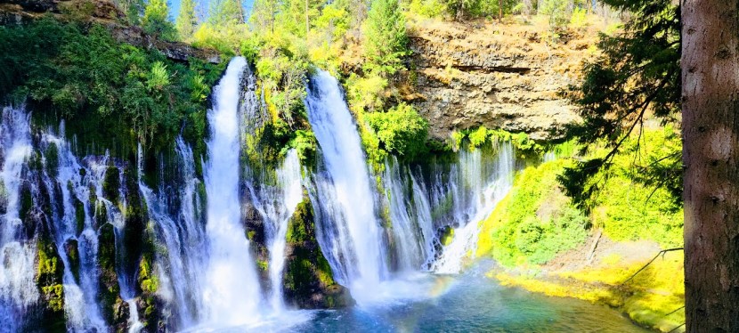
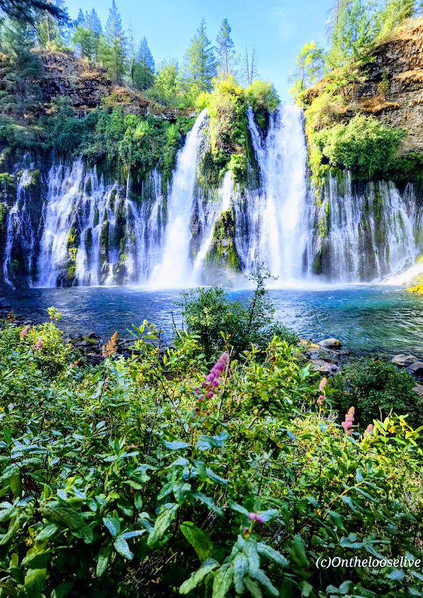
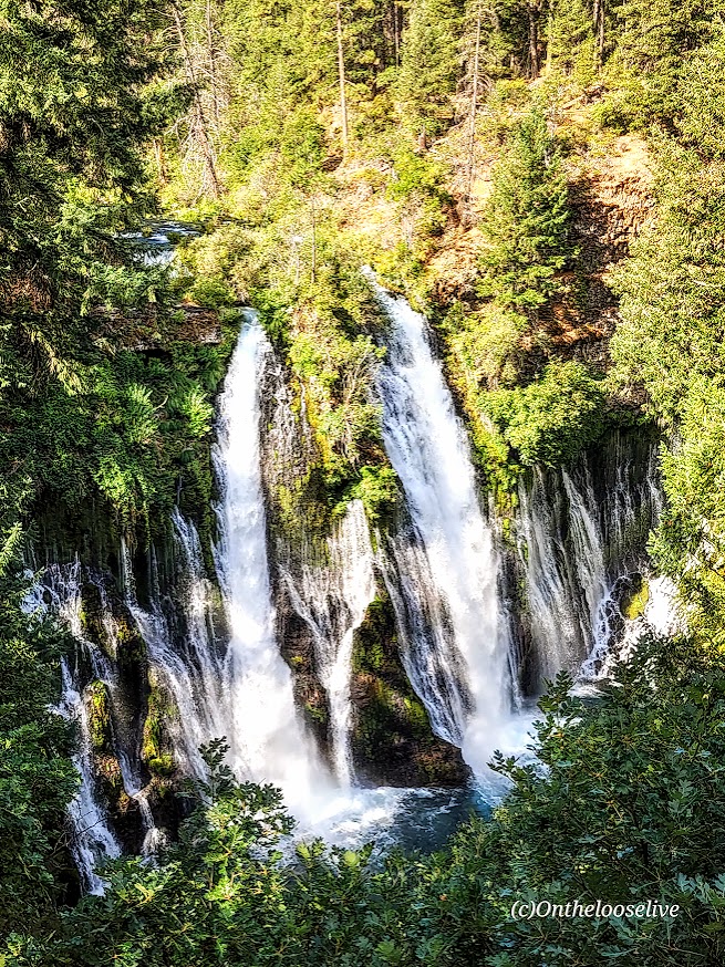
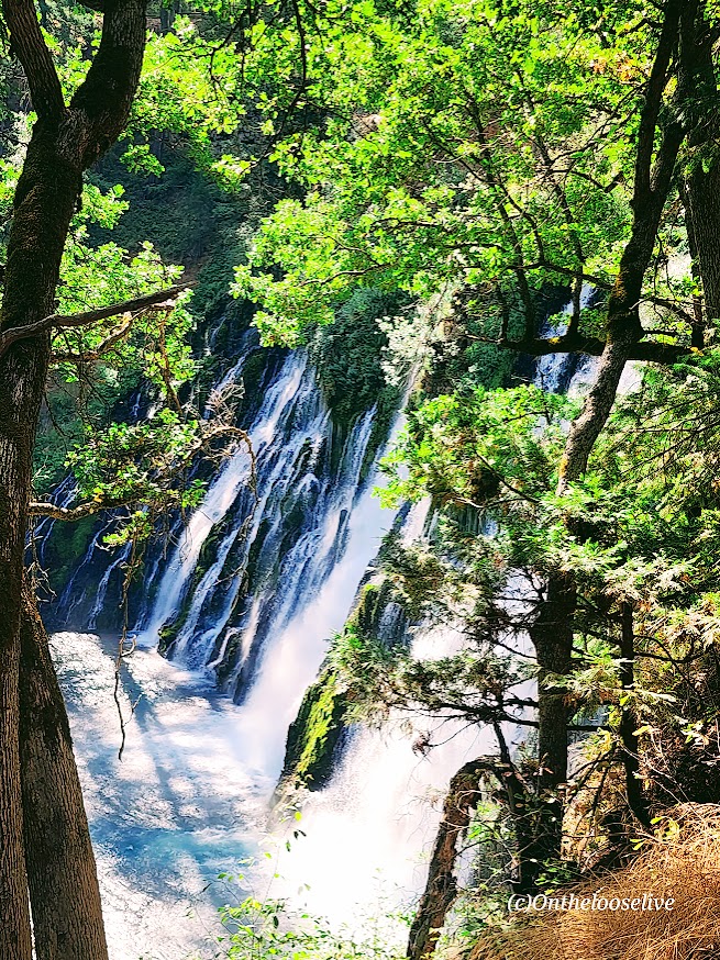
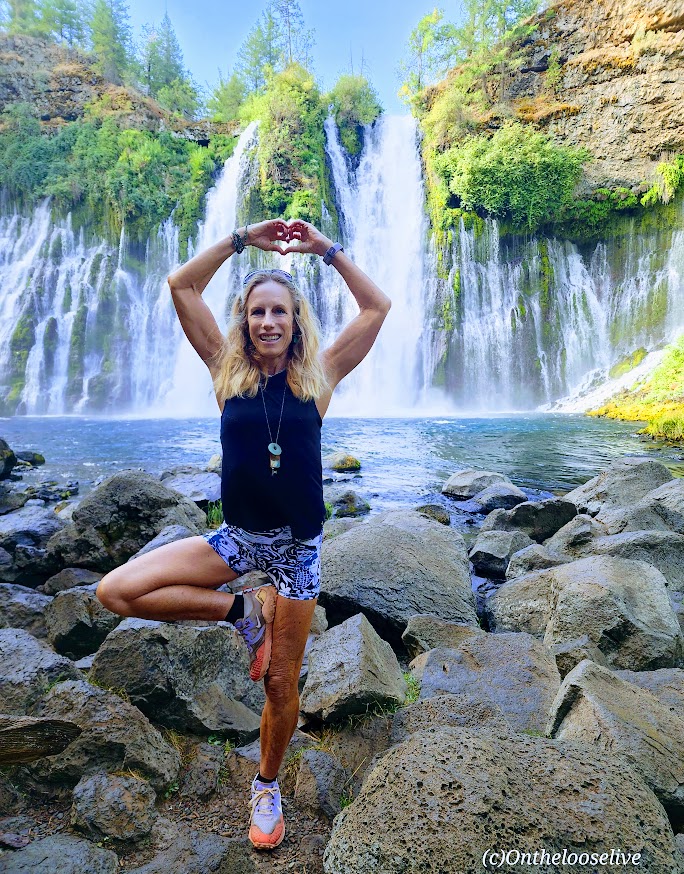
Wowza, I’ve chased a lot of waterfalls in my time, but Burney Falls stands out for its terraced, storybook, enchanting beauty.
And talk about an easy chase —huge reward for minimal effort— easy 1-mile round-trip stroll with an elevation gain of 161 ft
At 129 feet high, Burney Falls is the main attraction of California’s McArthur-Burney Falls Memorial State Park. I’d never heard of it, but it has to be one of the most gorgeous waterfalls that I’ve seen. It has an impressive daily flow of 100 million gallons, and the water temperature ranges from 42 to 48 degrees. While it was tempting, I didn’t take the cold plunge this time.
Apparently, there are 5 more miles of trails in the park, but it’s really all about the waterfall. If you’re adventuring in Lassen Volcanic National Park, Burney Falls is just ~40 miles North off of CA-89.
Notes: Day-use parking fee: $10. No dogs are allowed on trails or day-use areas. Go early; the small parking lot fills up fast.
Getting there: It’s off CA-89 N. (~40 miles from Lassen Volcanic National Park)
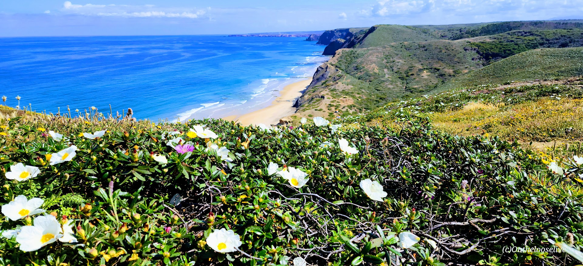
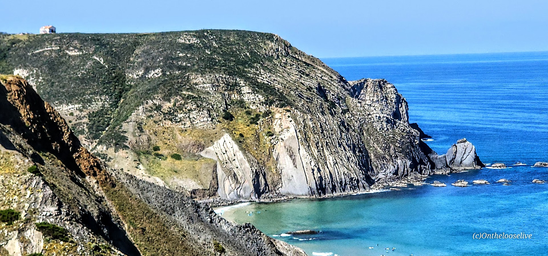
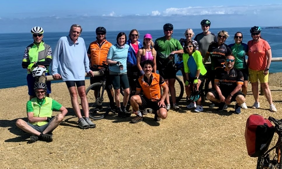
While every day of my Top Bike Tours Portugal adventure was dreamy, the days I enjoyed most were the ones when we arrived at our destination with enough time to simply be there—to wander, explore on our own, stroll along the beach, surf, swim, or just immerse ourselves in the local vibe.
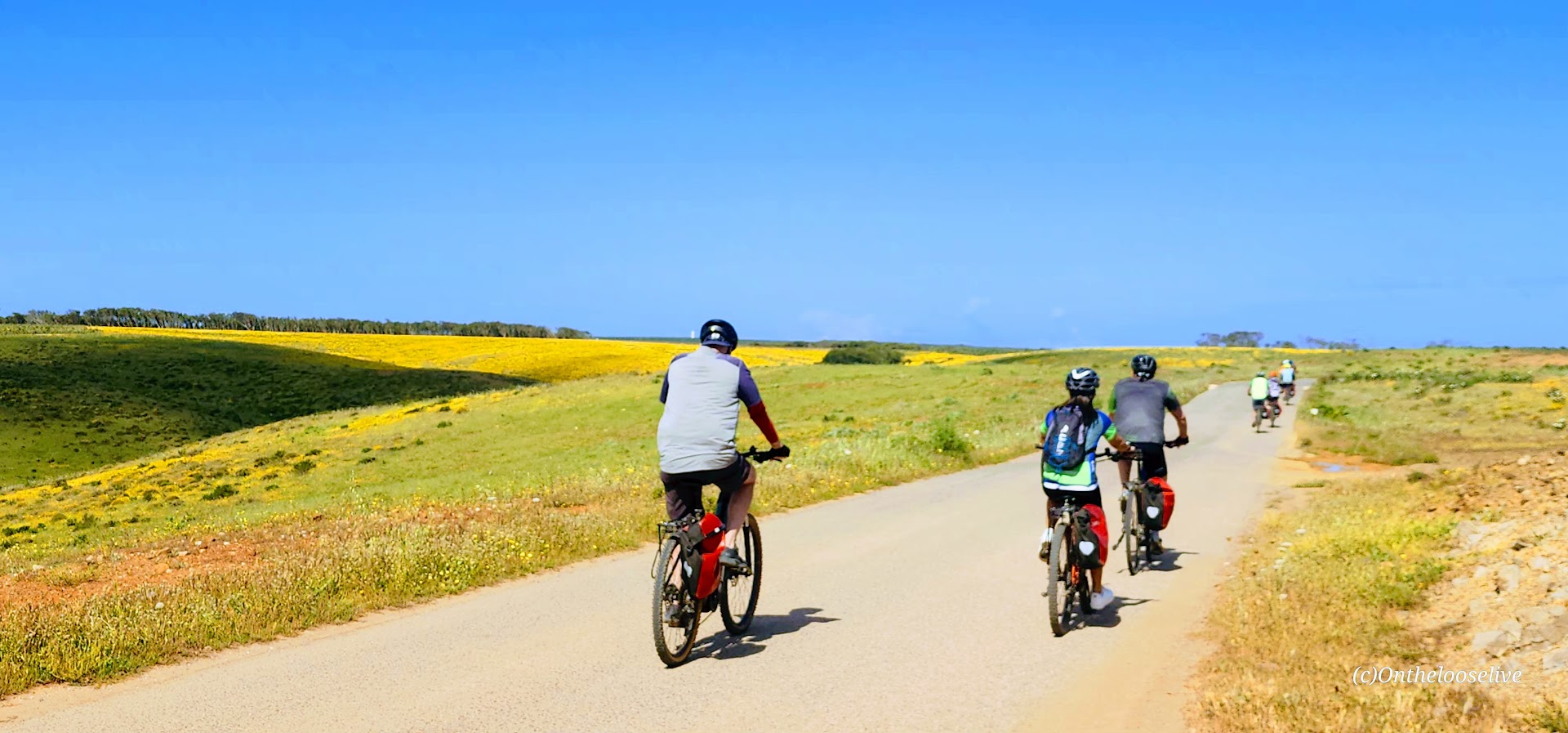
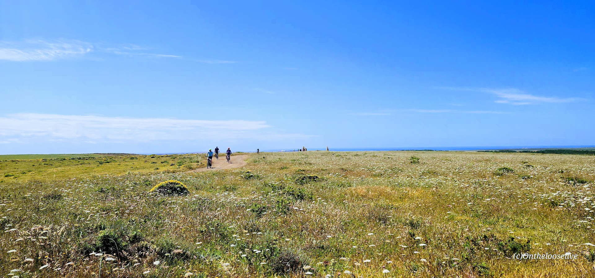
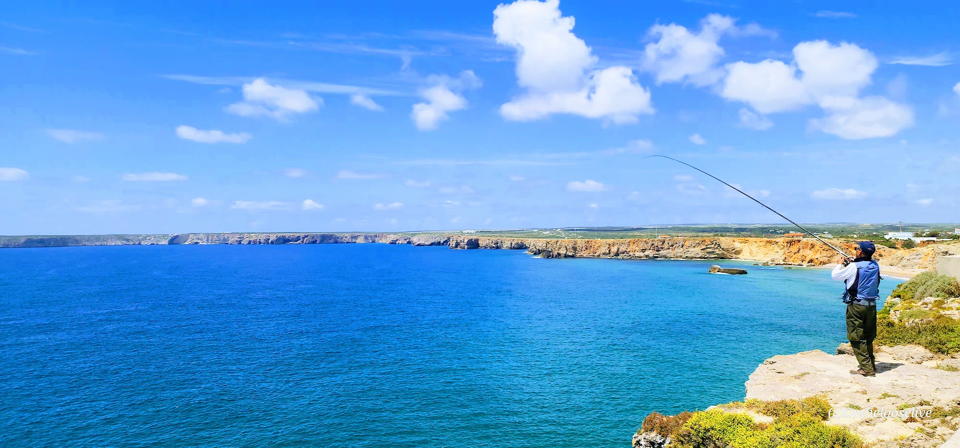
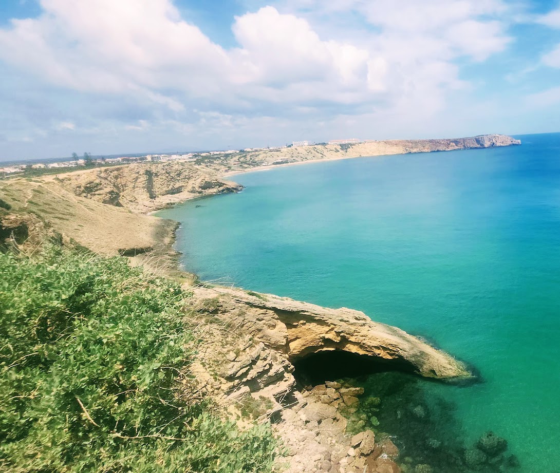
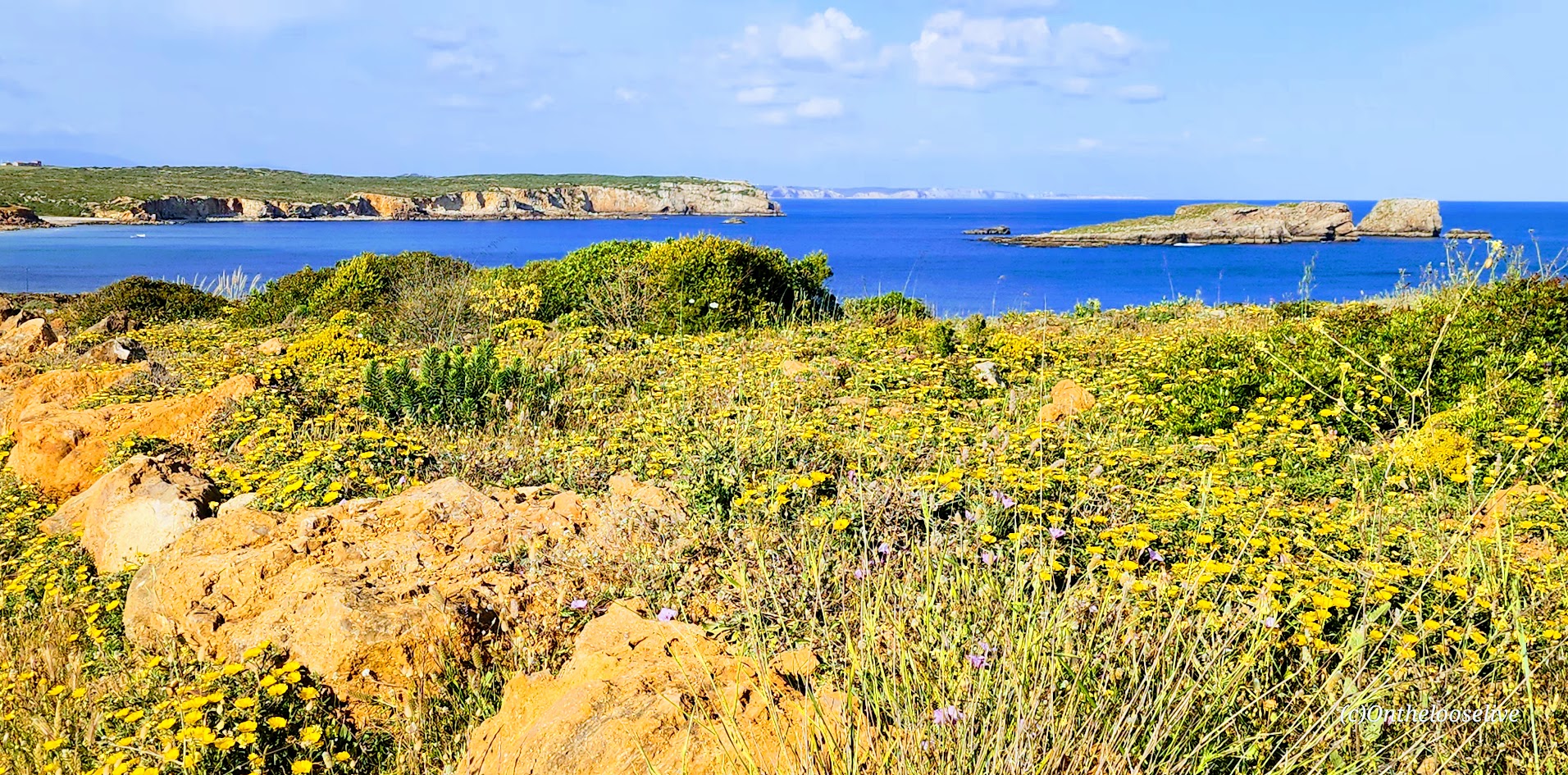
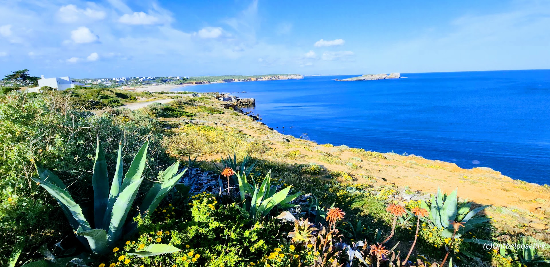
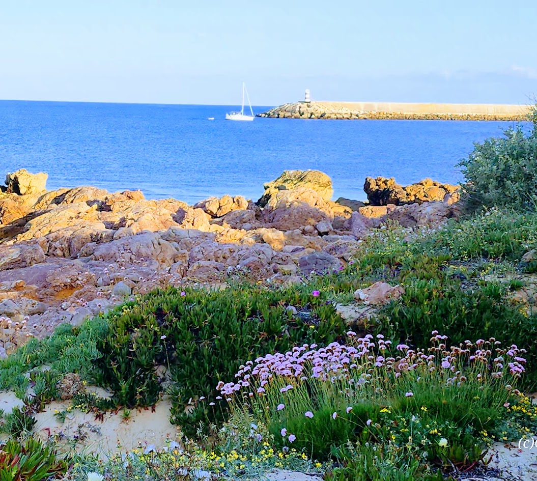
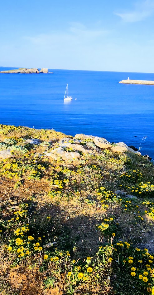
For that reason and others, the second-to-last day of my biking tour stands out as one of my favorites. The morning began with a long, challenging climb, which was rewarded with a cruise down smooth roads and along scenic, coastal gravel paths. With only 20 miles to cover, it was an easy day that left us with plenty of energy and time to enjoy our stops along the way, and to relax by the sea in Sagres that afternoon and evening.
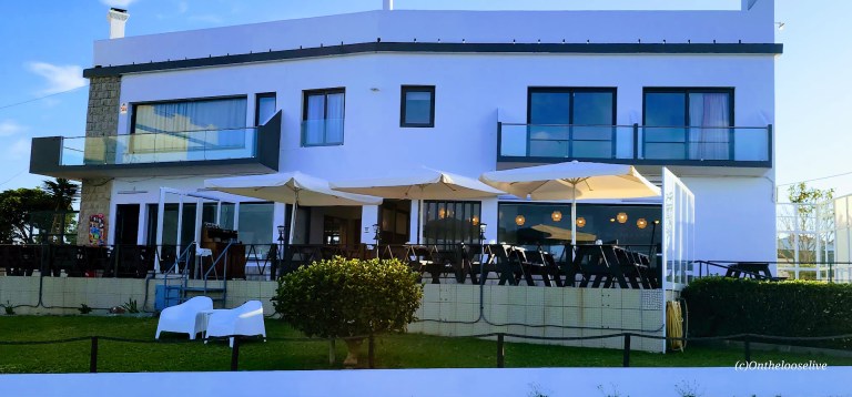
It certainly didn’t hurt that our accommodations for the night were at the 4-star Memmo Baleeira. This upscale, resort-style property is typically reserved for those who purchase the premium package. Not sure how I lucked out, but it was an unexpected and very welcome surprise.
Today’s Scenic and Historical Stops
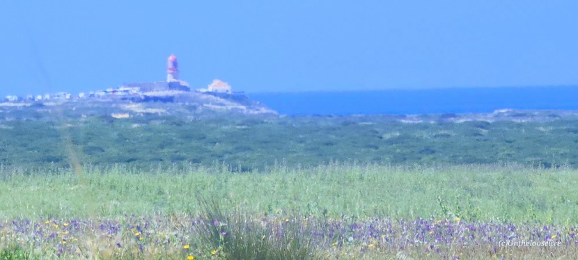
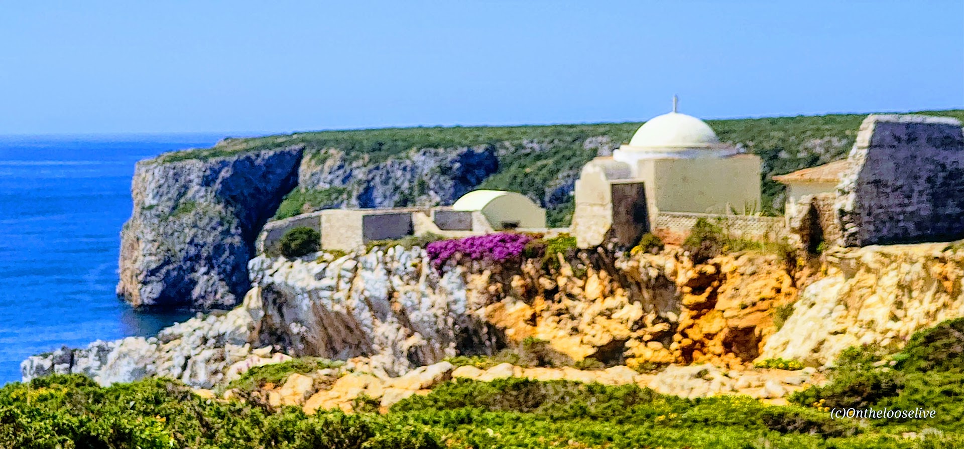
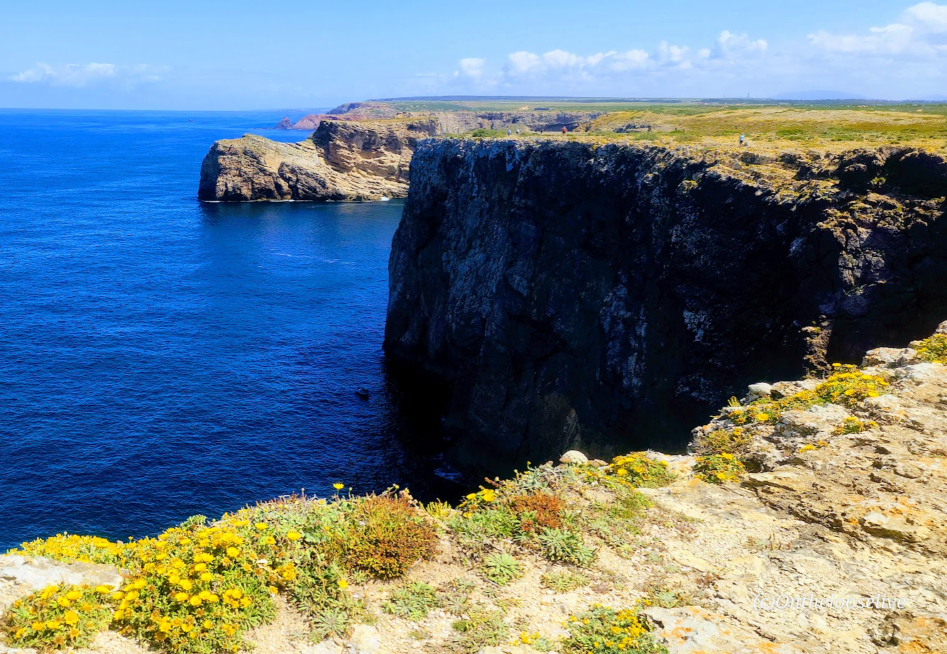
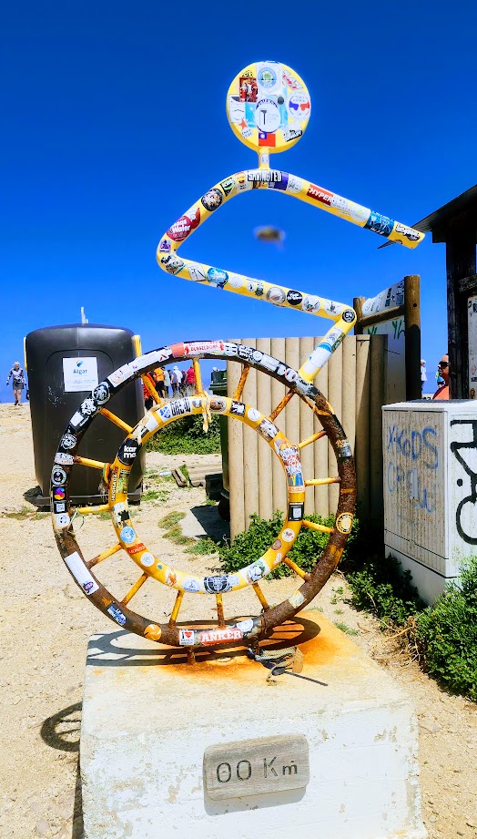
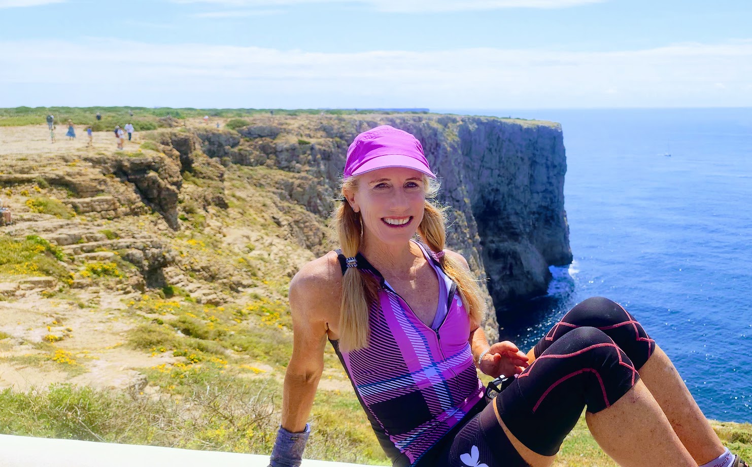
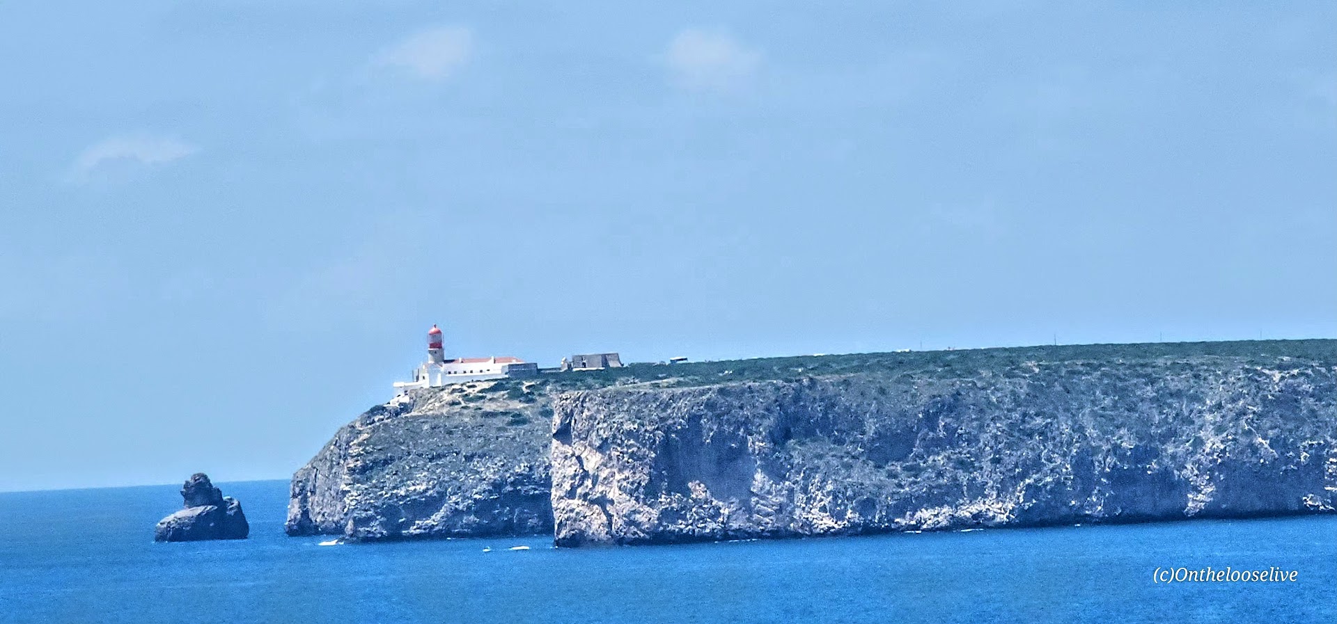
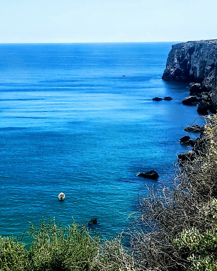
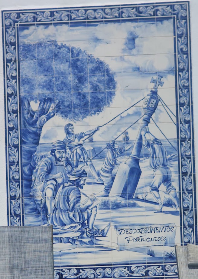
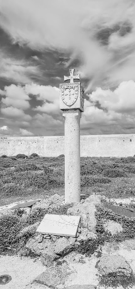
Cape St. Vincent (Cabo de São Vicente): This extreme southwestern point of mainland Europe was known as the legendary “end of the world” during the Age of Discoveries as it was the last explored point-the edge that dropped into the Atlantic and the unknown.
Indeed, ancient civilizations considered this windswept promontory a holy gathering place for their gods and the Romans referred to it as the Promontorium Sacrum (Sacred Promontory) or “the end of the world.” The name Sagres itself is derived from the Latin word sacrum (meaning “holy” or “sacred).
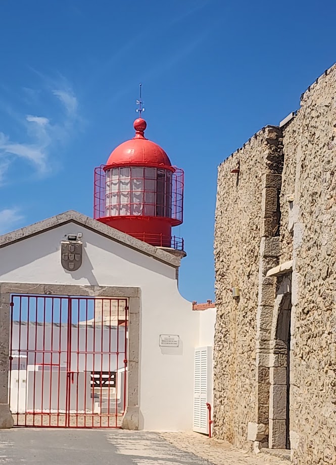
Farol doCabo de São Vicente Set on a dramatic cliff presiding ~ 250 feet above the restless and unruly Atlantic, thelighthouse (farol ) here is one of the most powerful lighthouses in Europe.
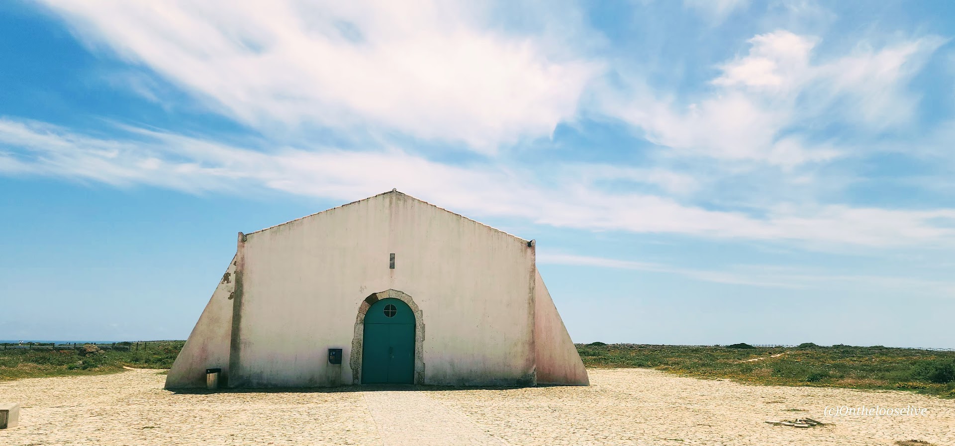
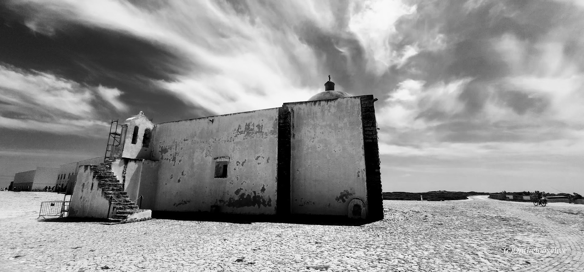
The Fortress of Sagres
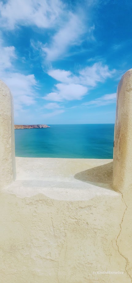
Featuring Renaissance-Mannerist architecture, the impressive, photogenic 15th-century Fortress of Sagres was commissioned by Prince Henry the Navigator. Damaged in the 1775 Lisbon earthquake, it was rebuilt in the late 18th century and underwent major renovations in 1960s, 1990s, and 2010.
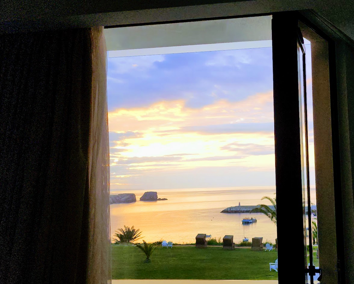
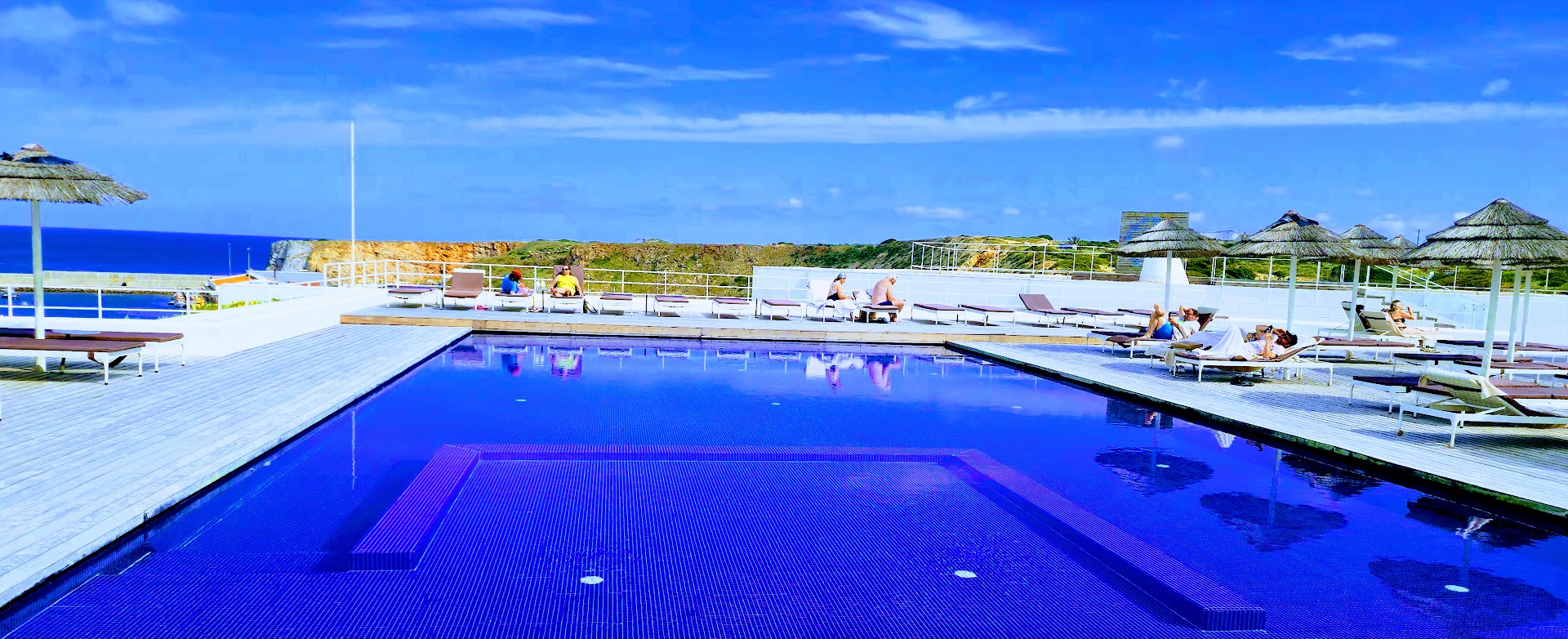
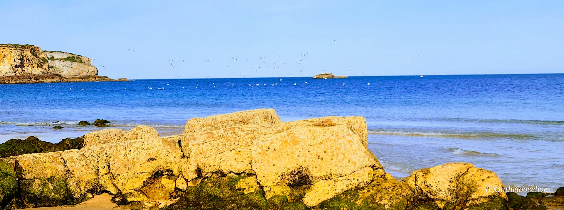
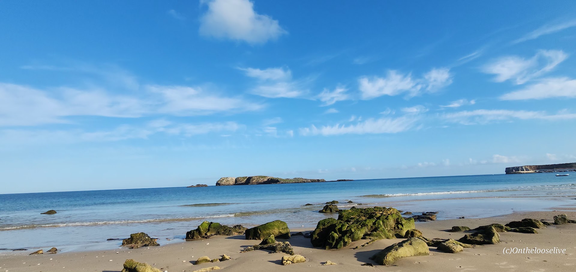
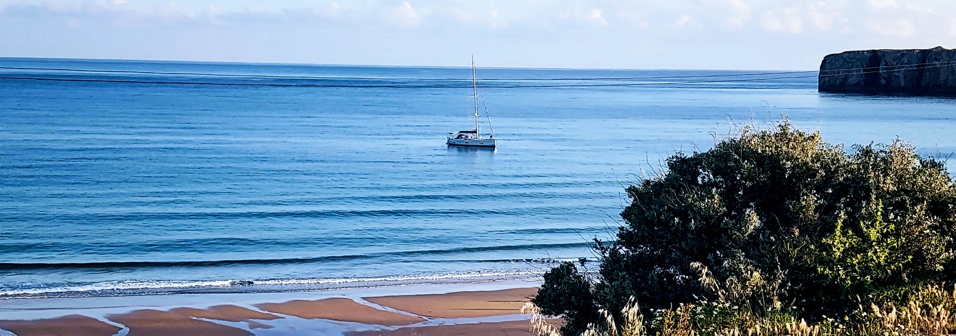
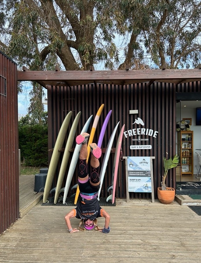
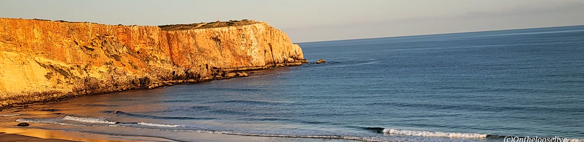
Staying at the Memmo Baleeira was a premium experience indeed — beautiful room and pool with sea views. And I took full advantage – went for a late afternoon swim in the pool, a sunset walk on the beach where I had it all to myself. While the water was calm and flat, I learned that Sagres is known for having some of the best and most consistent surfing in Europe because the peninsula juts out, capturing good waves regardless of wind direction.
After my stroll on the beach, I enjoyed dinner alfresco with a sea view. The owner introduced himself and treated me to shots of a potent local liquor to celebrate the restaurant’s recent opening. Oddly, I can’t recall the name of the alcohol…lol.
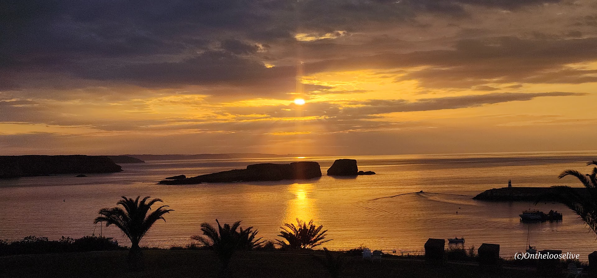
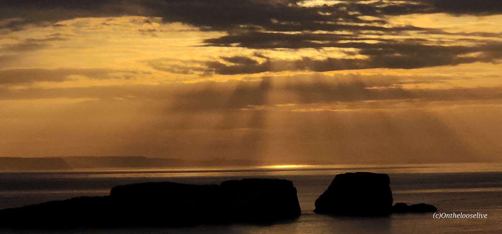
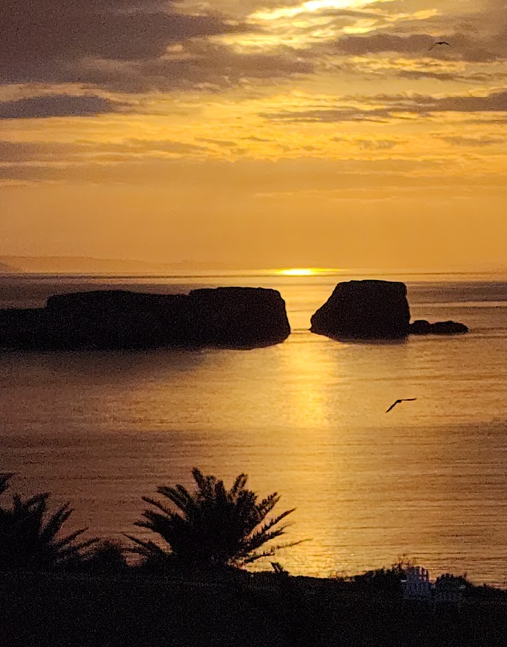
At the end of the day, I fell into my luxurious bed at the Memmo Baleeira and had my best sleep of the week. In the morning, I awoke well-rested to watch the sunrise over the sea as the swallows swooped and the seagulls called to each other.
It was bittersweet to realize that today would be the final day of our incredible bike tour. Usually, by the end of a touring adventure, I’m ready to move on. Not this time. I would have been perfectly happy to continue the journey through the country with Top Bike Tours of Portugal.