Disclaimer: none of the photos were taken by me, as we had to leave our cameras behind. In hindsight, that was for the best—having both hands free was essential given the slippery, wet, uneven, rocky terrain, and the crawling, wading, and swimming sections.
First Some Cave Context
Years ago, while traveling in Thailand, I explored a couple of miles of the Chiang Dao Cave—fascinating and not especially sketchy (unless you count the thousands of bats and the one tight crawl space).
Then, a year later, along with the rest of the world, I followed the nine-day saga of the boys’ soccer team trapped in a similar cave after monsoon rains flooded it. I remember thinking, “Yeah… I probably won’t be going into a cave again anytime soon.”
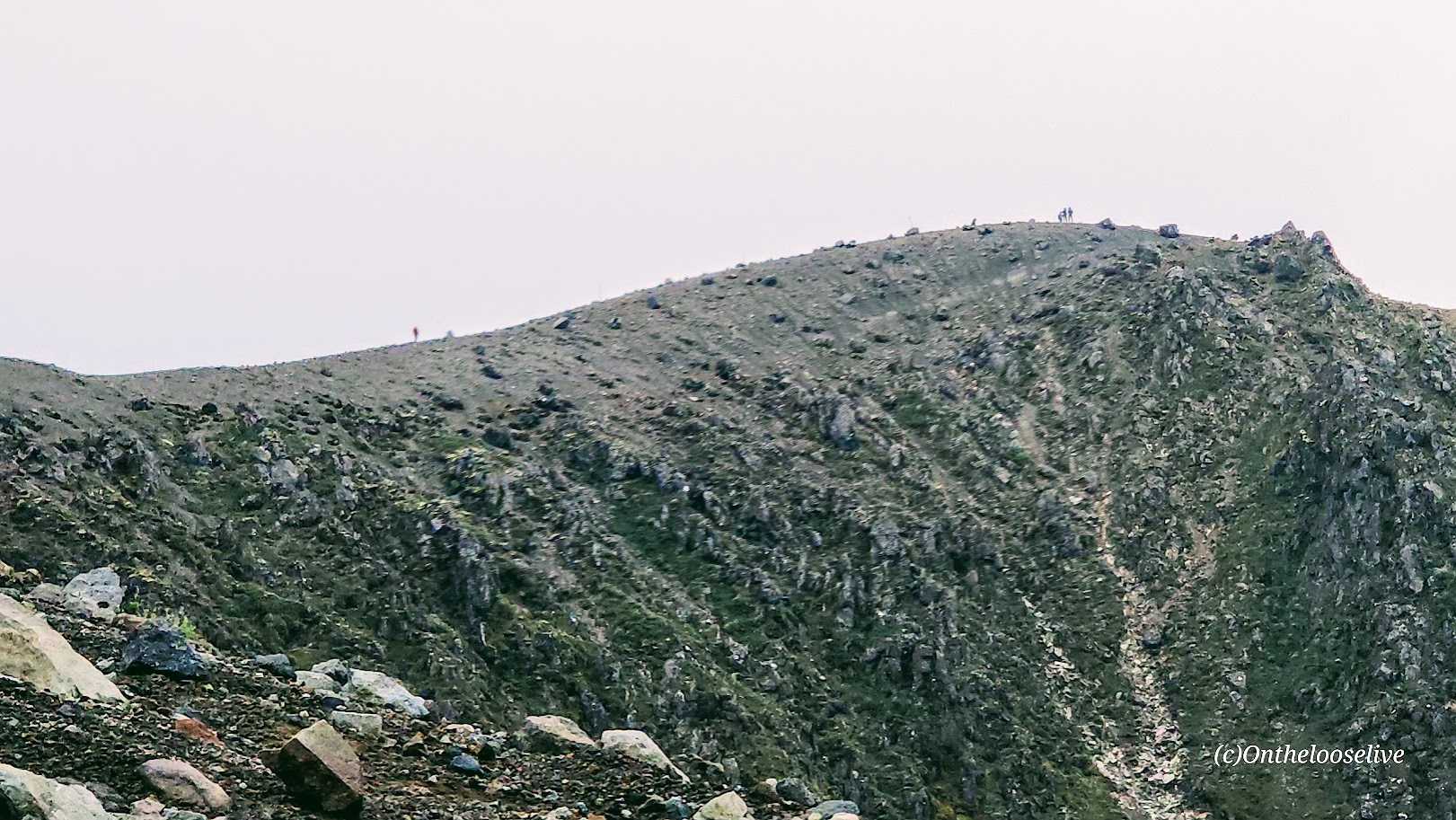
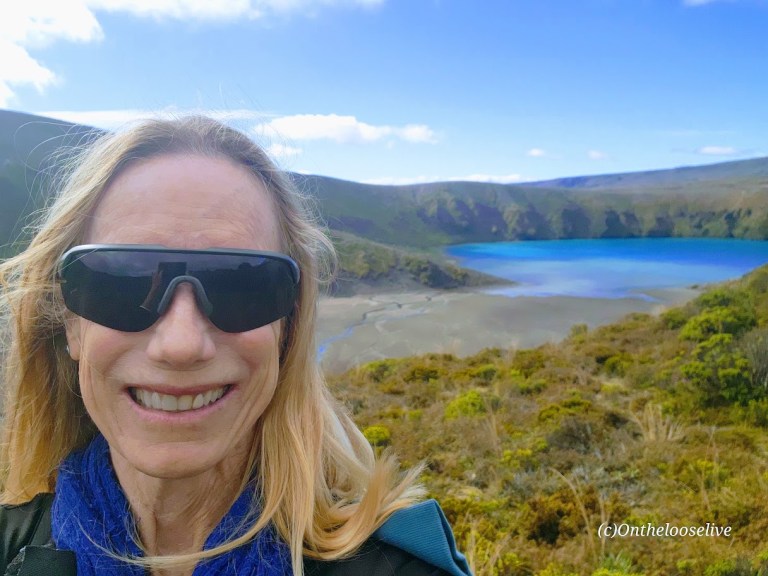
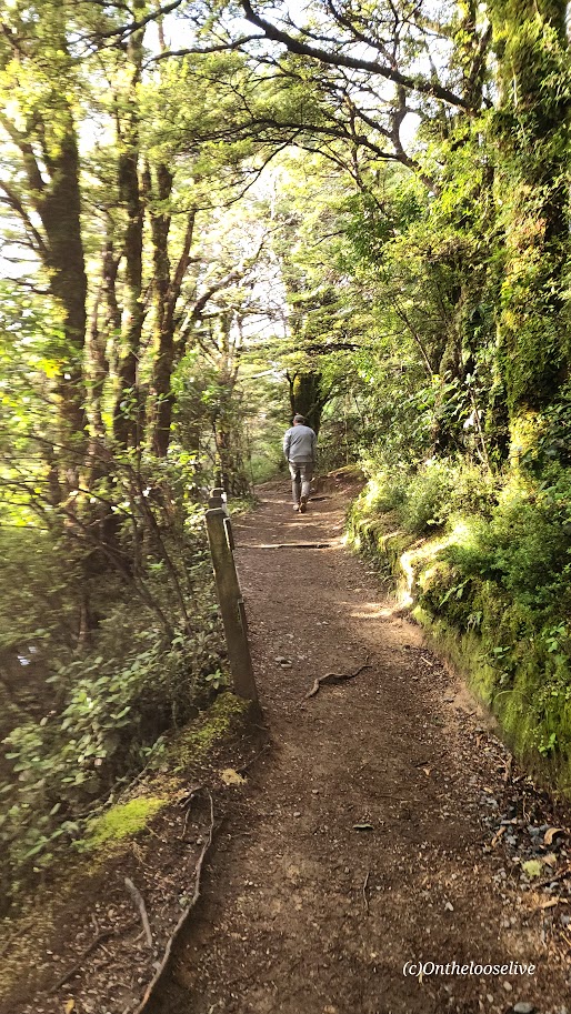
Well, nearly ten years later, here I am at the Waitomo Cave Experience. My travel partner chose this one, and I wasn’t about to be a spoil sport. So, I wrestled myself into a thick, heavy wetsuit, squeezed on the white rubber “go-go” boots, and trudged off in slow motion with the rest of our oversized sloth of a group, crossing the oddly undulating pasture—hinting at the contours of the cave below—toward the woods.
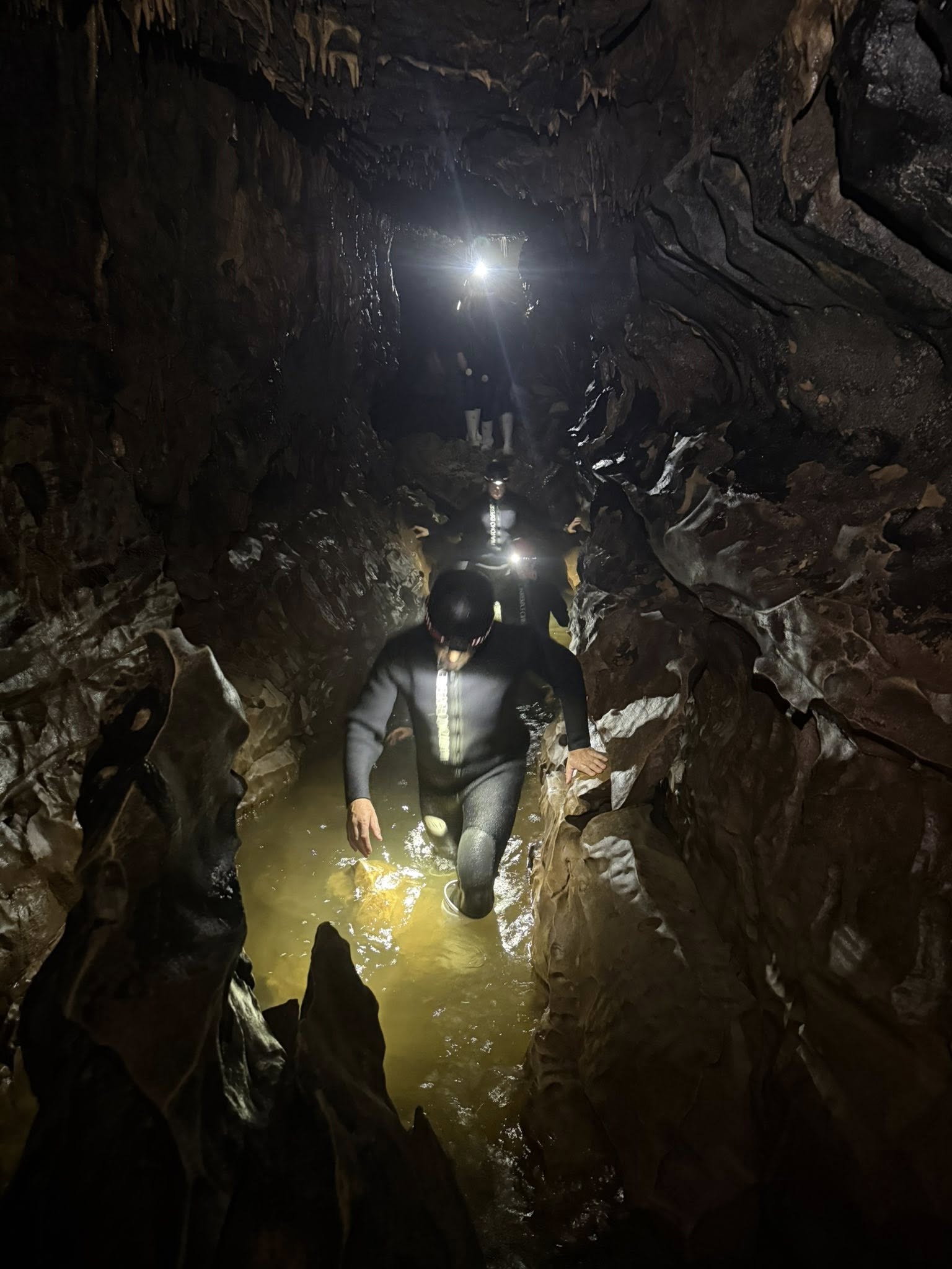
At the edge of the woods, we climbed down a steel ladder, descending into the pitch-black, damp abyss of the Okohua Cave, and the adventure began… We switched on our headlamps—bright third eyes piercing the darkness and, just as often, blinding one another.
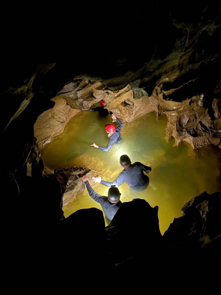
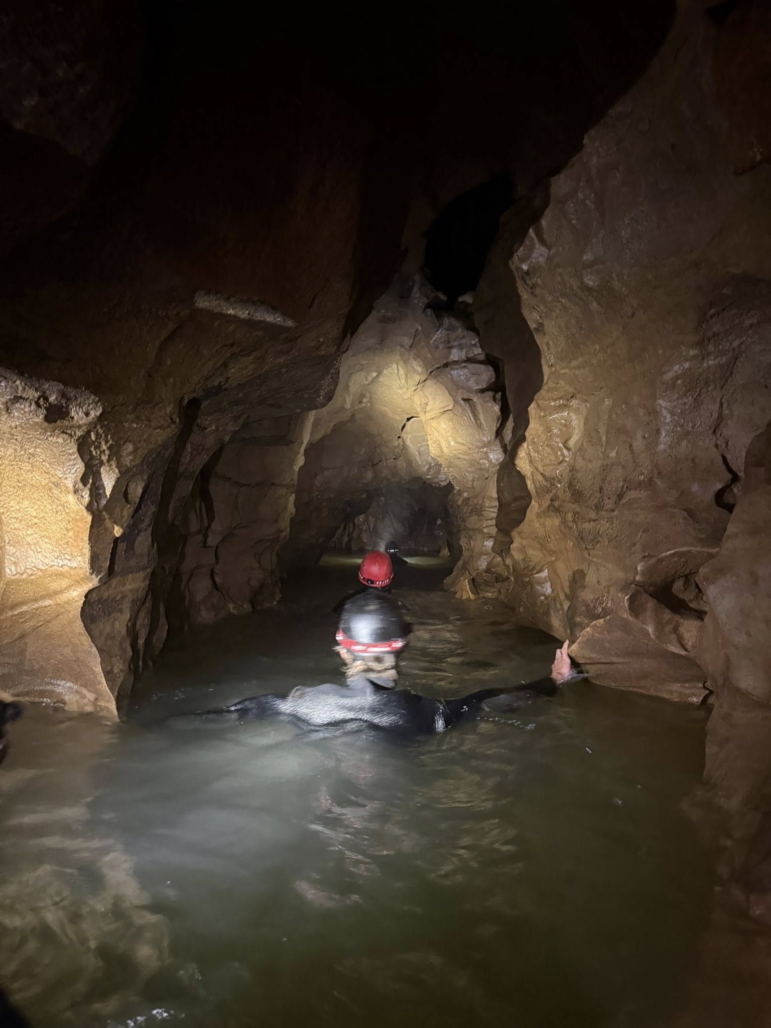
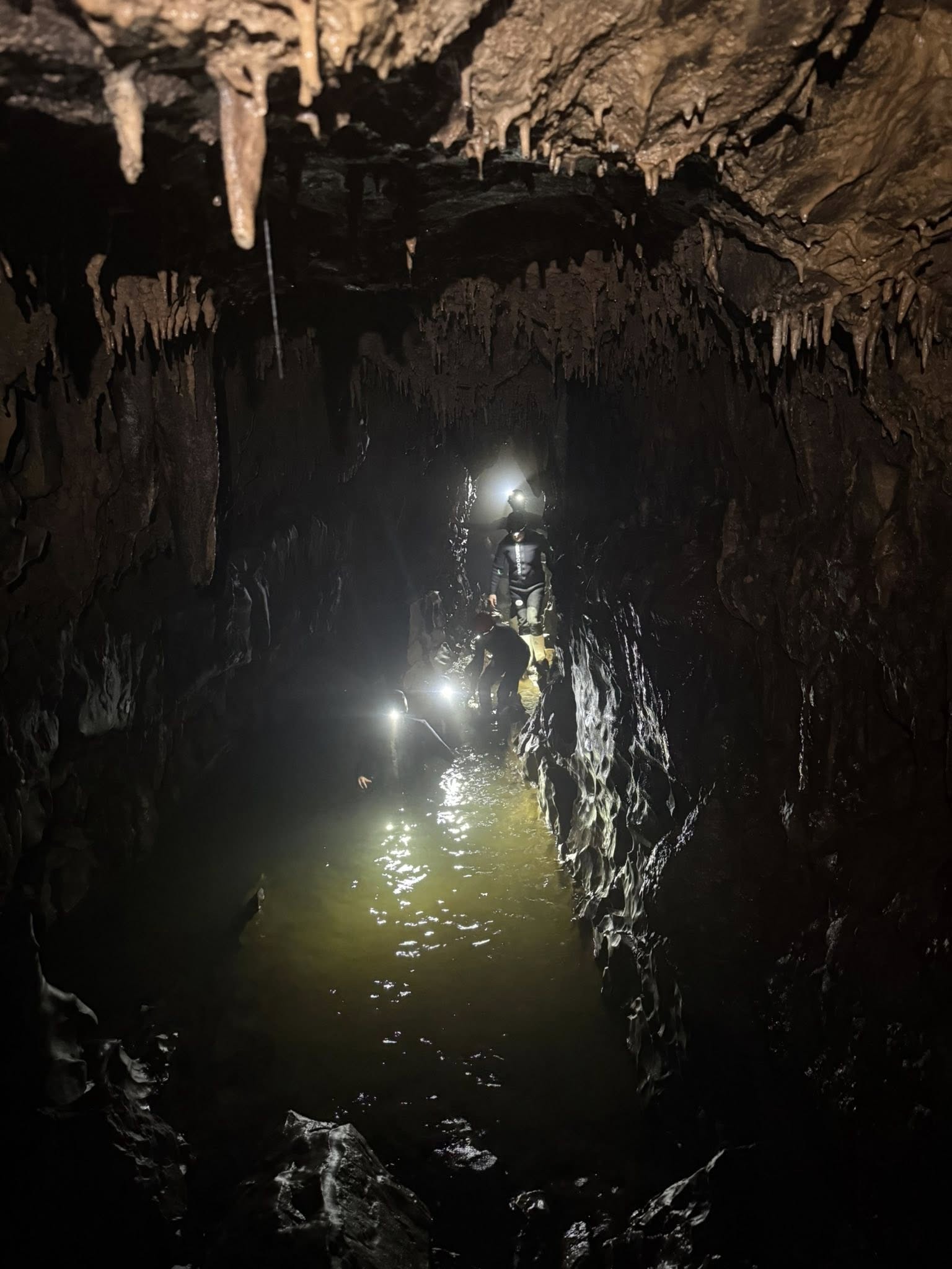
After casually warning us to stay put if anything happened to him, our guide led us into the narrow, watery “slot canyons” of the 30-million-year-old limestone grotto.
“Watch your head!” “Watch your footing!” And “Hands off!” the dripping stalactites and other stalagmite formations. It was slow going.
We stopped several times to turn off our headlamps and gaze up at the dark “sky” bespeckled with tiny lights from thousands of bioluminescent Arachnocampa luminosa (glow worm) larvae. (“Better worms than bats, I say.”) It was a lovely sight indeed.
Later, we’d enter a canyon with deep water where inner tubes were waiting for us for a cruise down glow worm alley. It was magical and mesmerizing. The once chatty group fell silent in awe.
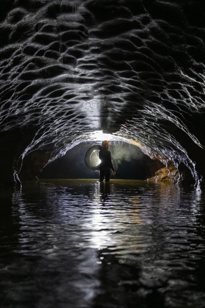
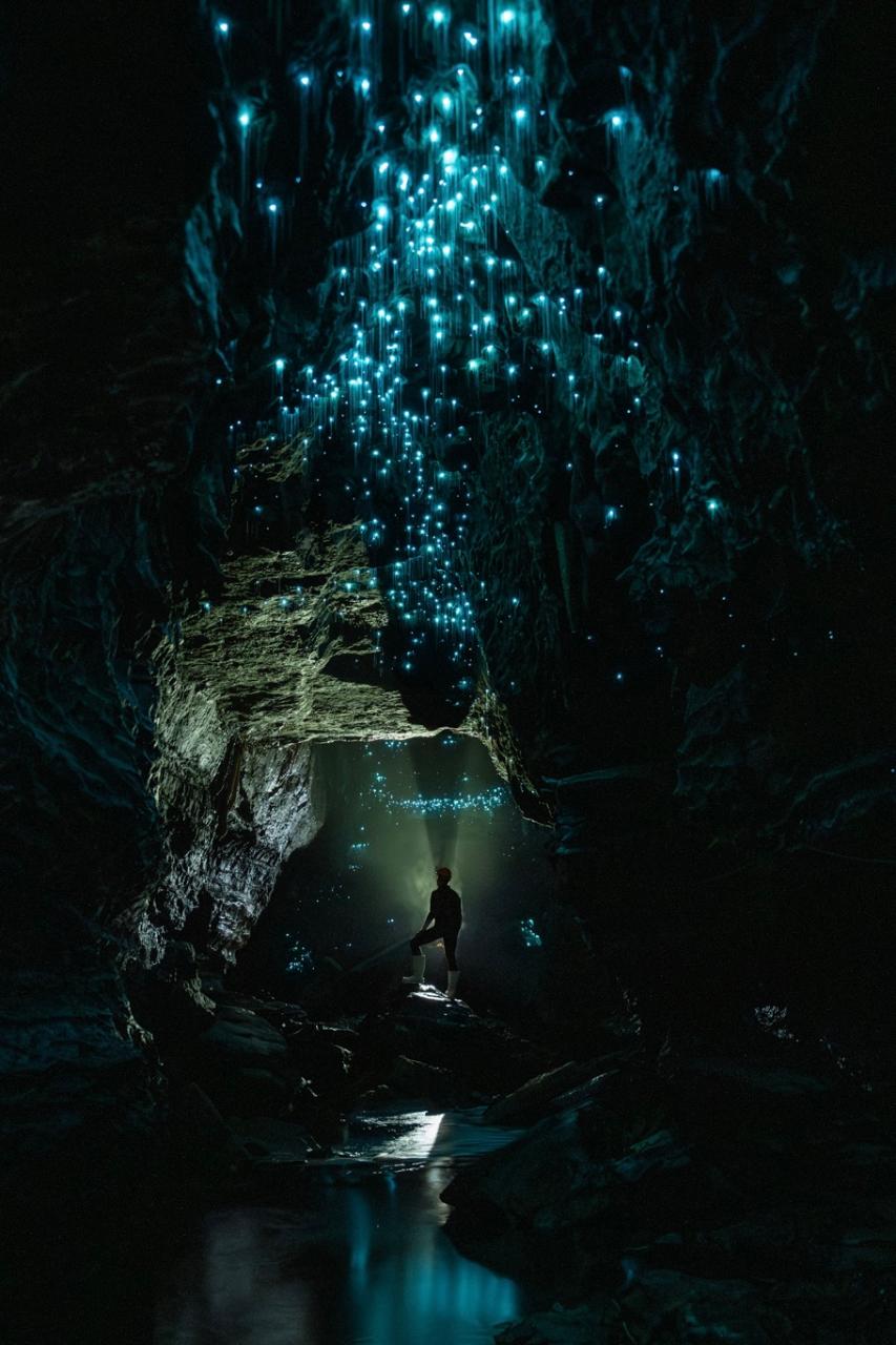
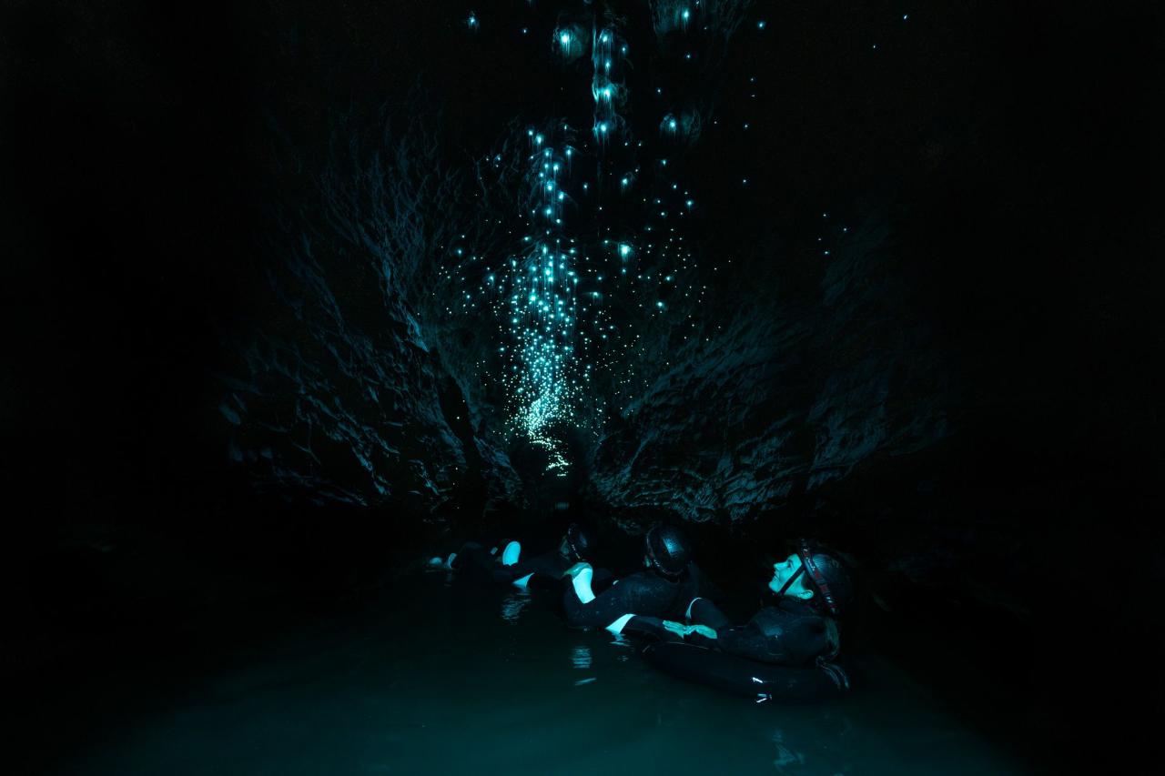
Photo Credits: The Waitomo Cave Experience website.
If you’re slightly claustrophobic like me, adding water to the equation amplifies it…as do the low ceilings and narrow tunnels. Of course, learning that you’ll be underground for over 3 hours and knowing that you can’t simply, easily, and quickly exit also contributes to that constricting feeling…Not to mention the heavy wetsuit weighing you down…
As a yogi, I practiced my relaxation breathing and tried to stay in the moment. There were a couple of opportunities to bypass the tighter, belly crawling, face-first-into-the murky water routes, but, well, where’s the fun in that?
It was an amazing adventure for sure, but I probably won’t be going into another cave anytime soon…(Yeah, I know…)
Happy Adventuring!