Distance from the Te Anau Control Gates to Luxmore Hut: 16 Miles Round-trip
Total Distance of the Multiday Loop: ~37 Miles
Elevation Gain: 3K Ft (Total for Multiday Loop: ~7K Ft)
Difficulty: Moderate (Depending on your fitness level.)
The 37-mile Kepler Track loop in Fiordland National Park is one of New Zealand’s 11 “Great Walks”—a network of meticulously maintained multi-day routes designed to showcase the country’s most spectacular landscapes. Across these trails, hikers move through a range of terrain, from the volcanic drama of the Tongariro Northern Circuit to Kepler’s alpine ridgelines and Fiordland views, coastal forests, glacier-carved valleys, and more.
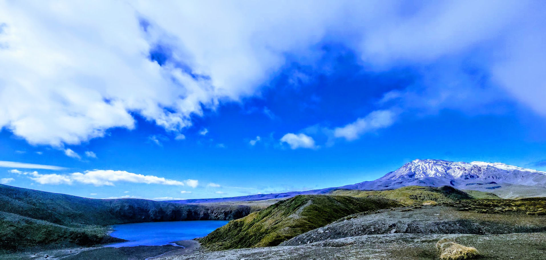
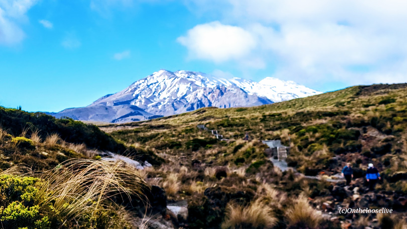
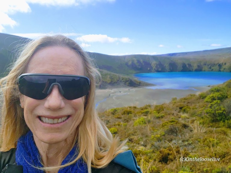
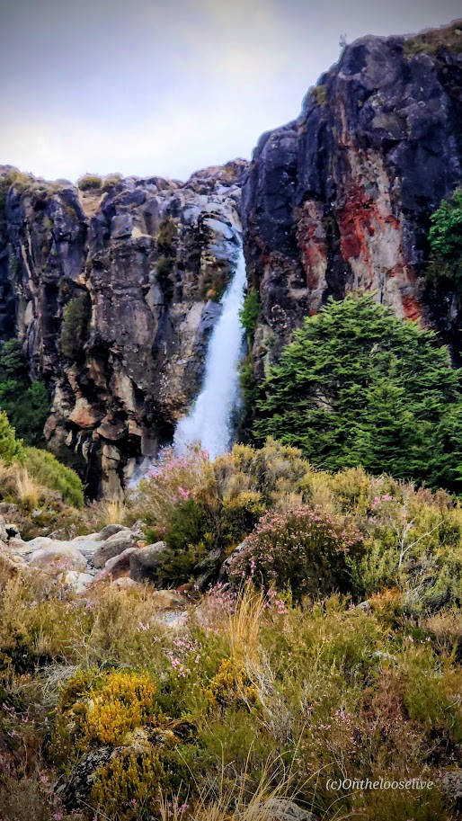
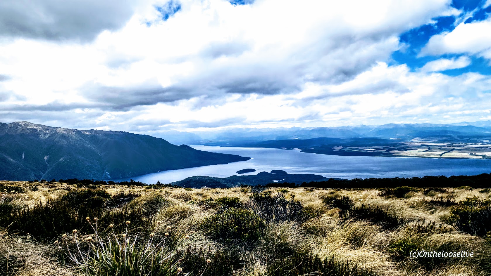
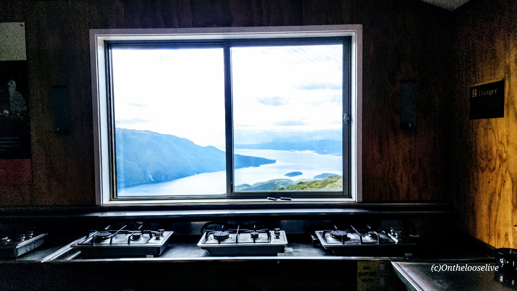
I hiked 16 miles of the Kepler Track to Luxmore Hut, which sits in a fully exposed alpine basin at 3,560 feet overlooking the deep blue expanse of Lake Te Anau and Fiords below.
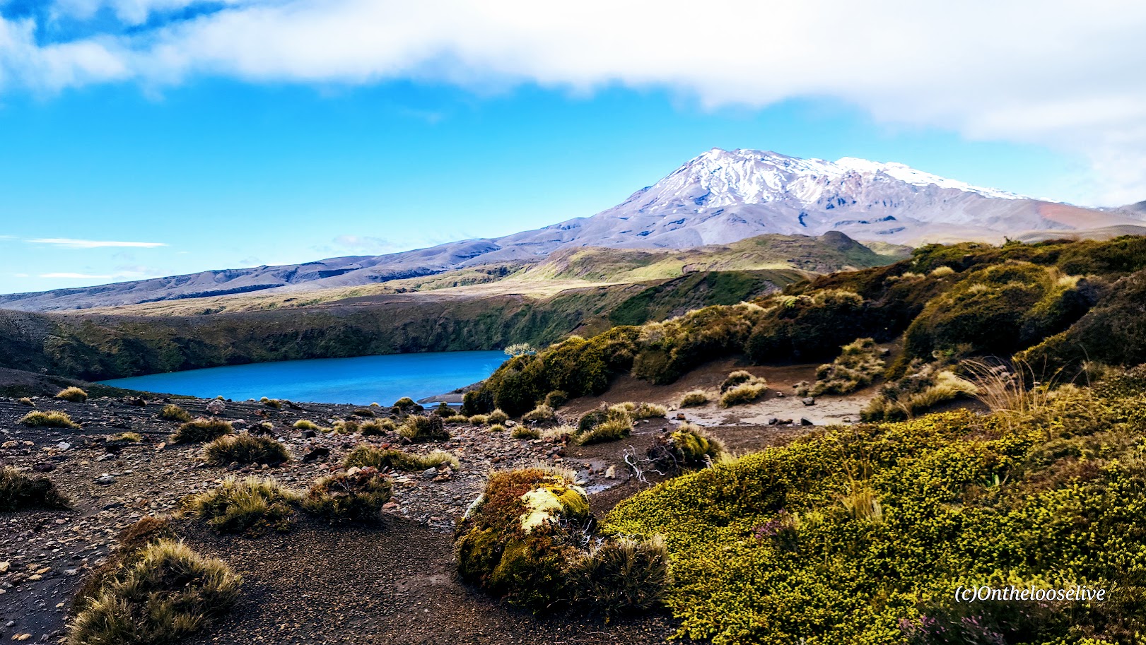
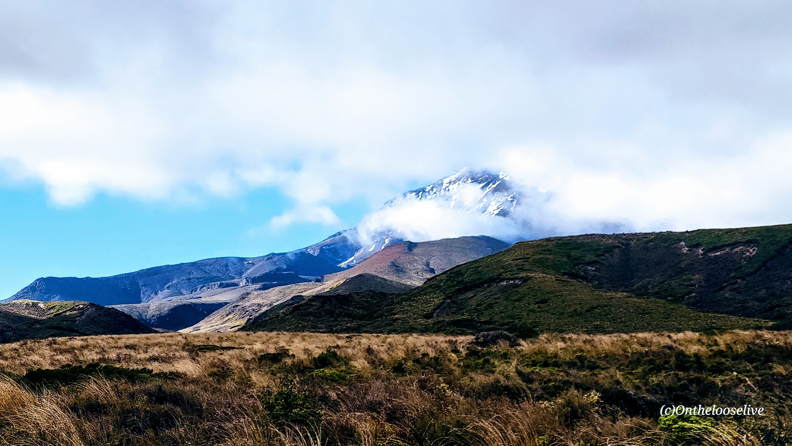
You might question, as I did, “Alpine?” How can 3,560 feet possibly qualify? I had always assumed alpine conditions were strictly tied to high altitude. I was surprised to find that they’re not. “Alpine” refers instead to environments above the natural tree line that are defined by intense, volatile weather, strong winds, and exposure, regardless of how many feet above sea level they sit. That’s how, despite its modest altitude, the Luxmore Hut qualifies as alpine. (You’re welcome.) Both the Kepler ridgeline and Luxmore Hut are subject (as I was soon to discover) to the wild vagaries of Mother Nature…As is the Tama Lakes hike, I did on the North Island, with 4,724 feet being the high point there.
A “walk in the park” until…
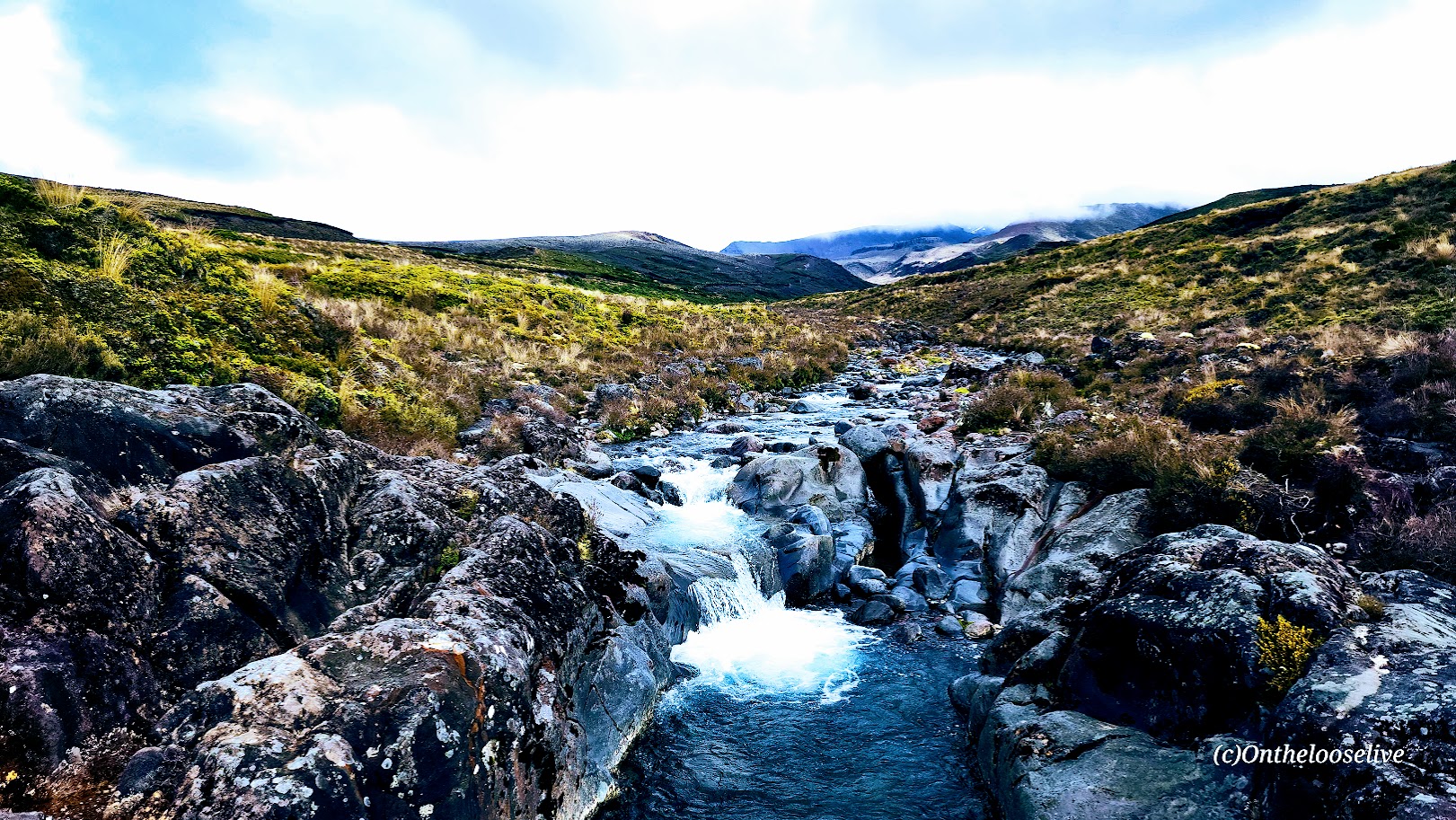
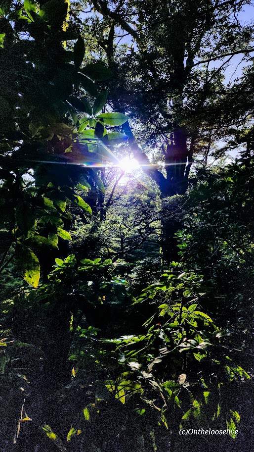
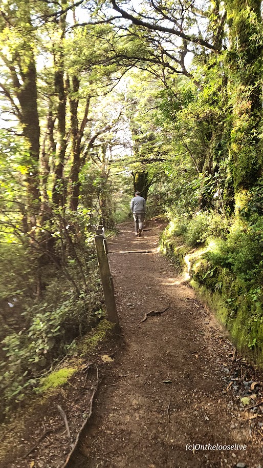
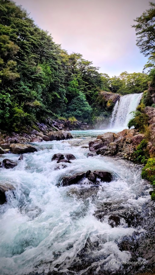
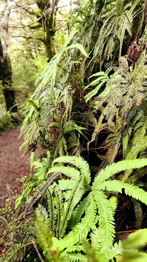
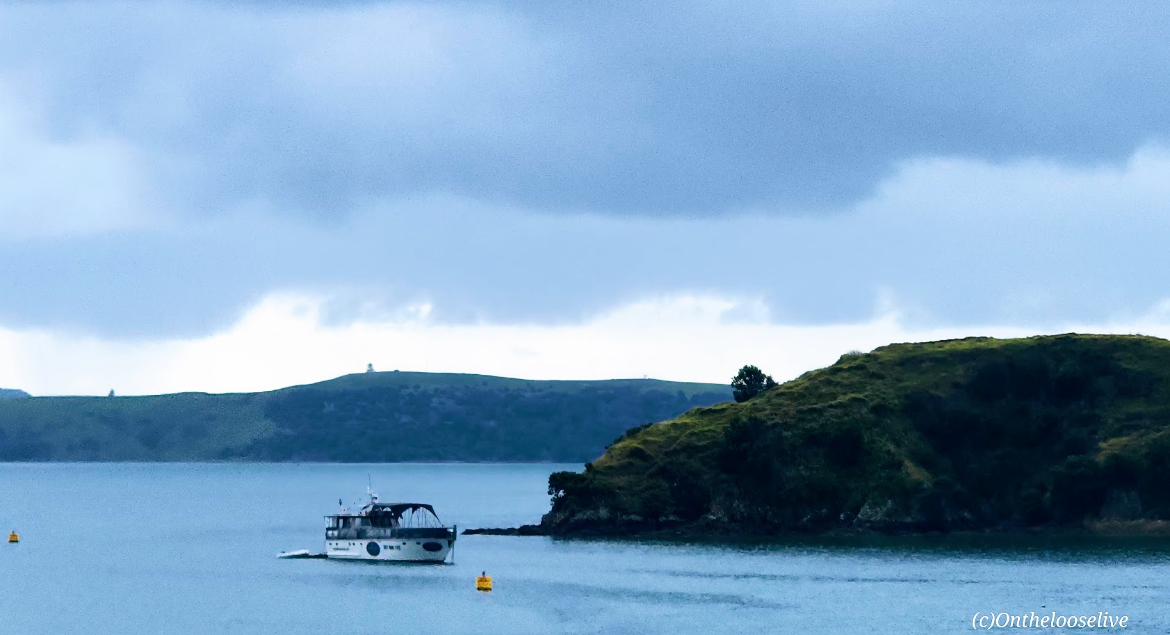
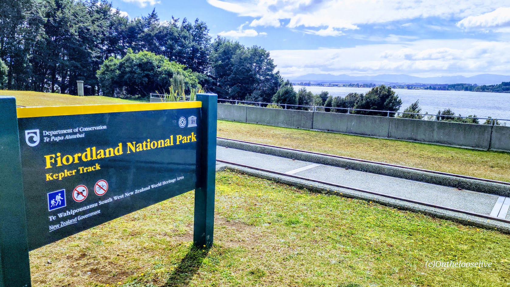
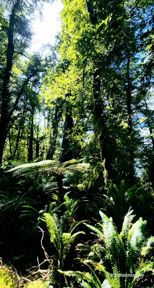
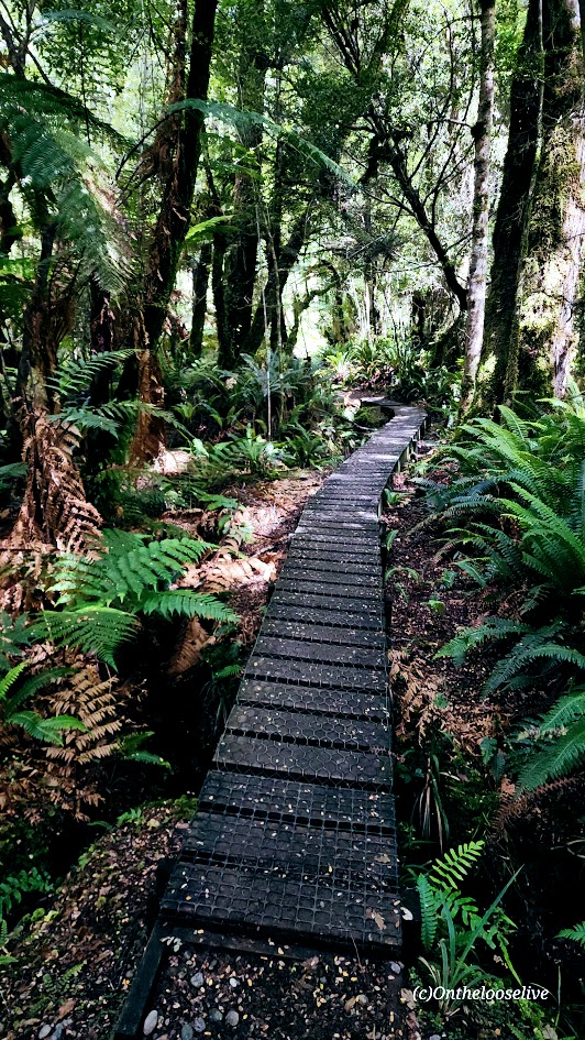
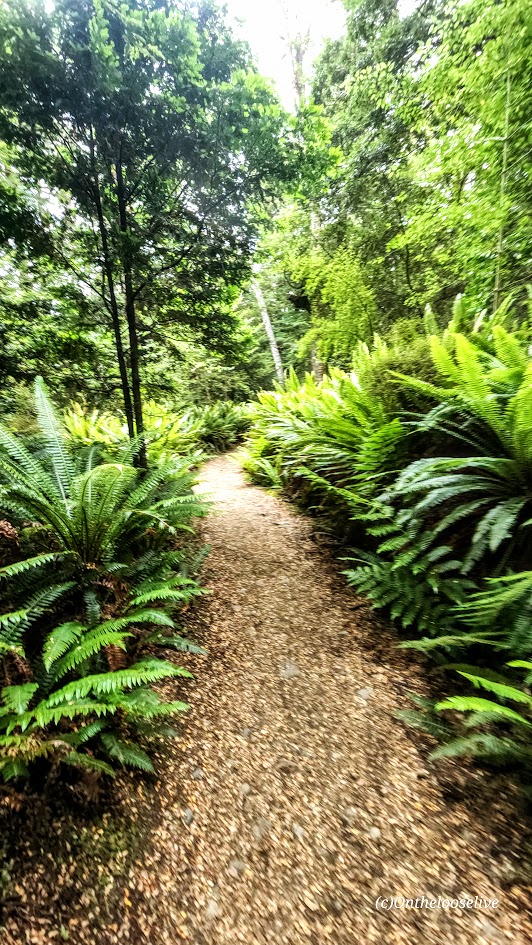
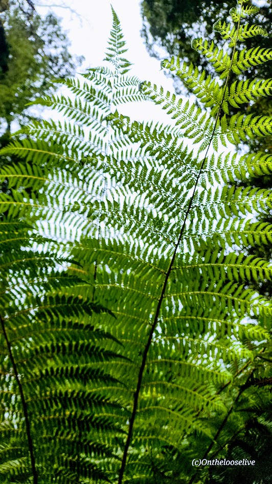
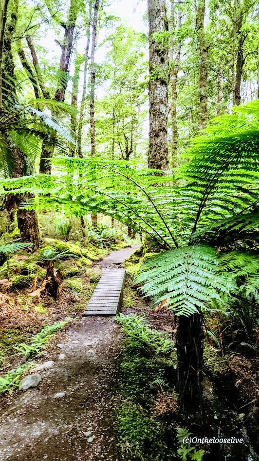
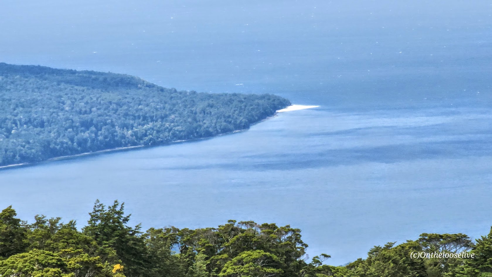
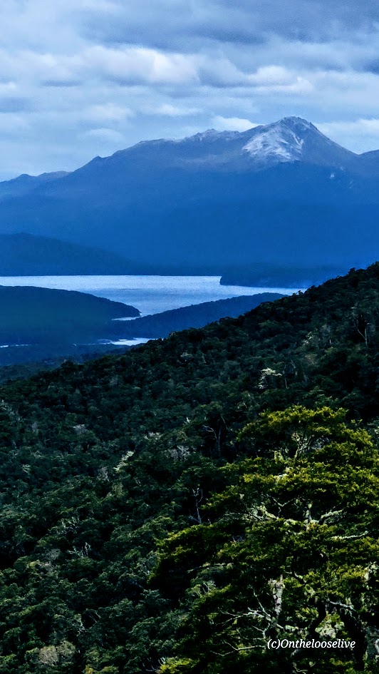
The hike begins as a true “walk in the park,” following pristine, well-groomed trails through beech forest and fern-lined trails that never stray too far from the lovely, sparkling shores of Lake Te Anau, the second-largest lake in New Zealand and the largest in the South Island.
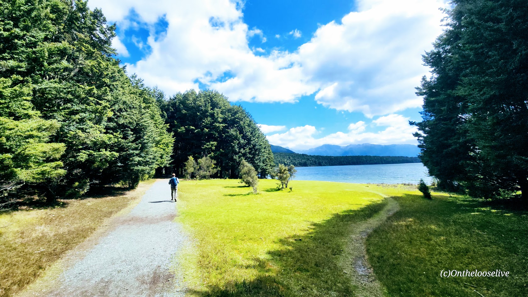
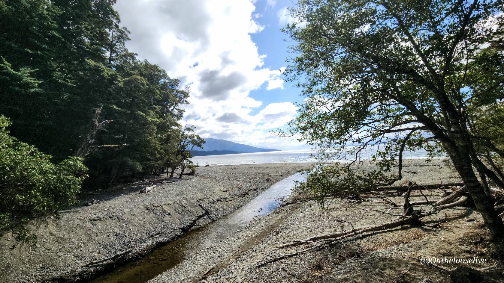

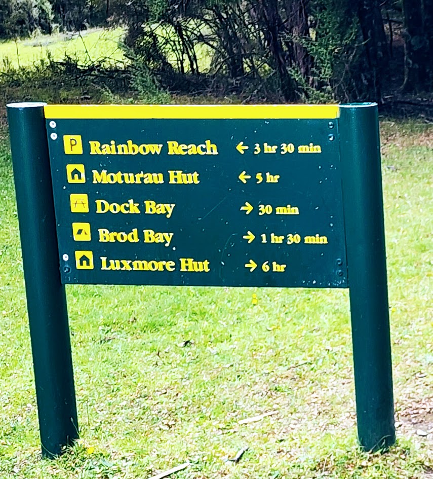
In a mile and a half, the path brings you to the beach of Dock Bay (an easy family destination for picnics and swimming). At the 3-mile point, you’ll reach Brod Bay, which has 15 tent sites (reservations required), a cooking shelter, picnic tables, and a couple of port-o-potties. Despite the picturesque beauty, you may not want to set up camp here literally or figuratively as the sandflies are described as intense, relentless, and ferocious. I didn’t linger to find out.
Pro Tip: If you’re short on time and lucky enough to catch a water taxi from Te Anau to Brod Bay, you can cut off the first 3 miles of the hike and start at Brod Bay.
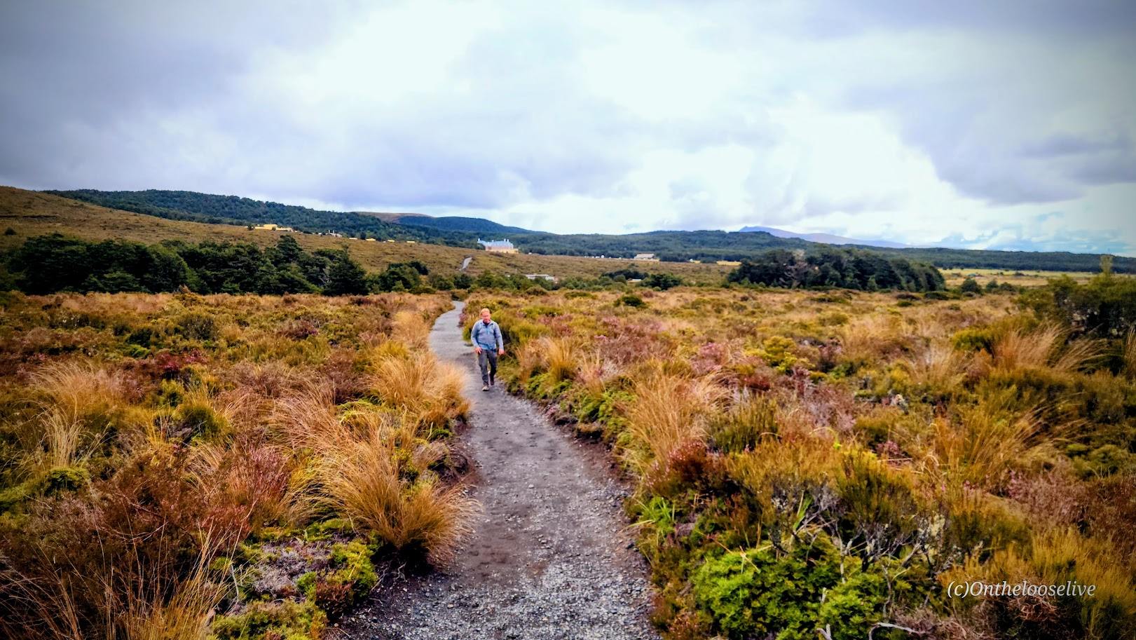
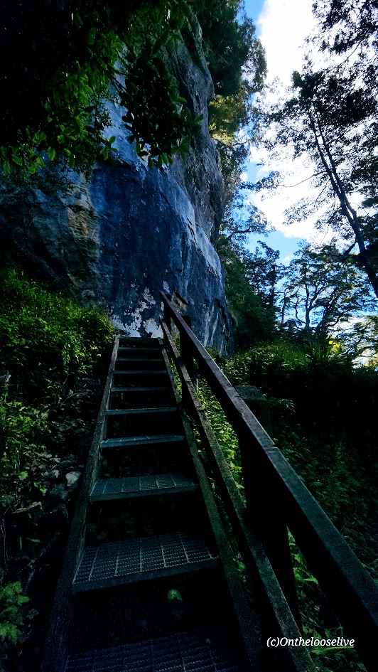
From Brod Bay, it’s 5 miles and 2,791 ft elevation gain to the Luxmore Hut. This is where the climb begins, but the grade is gentle for the most part, and there’s a short set of stairs to climb.
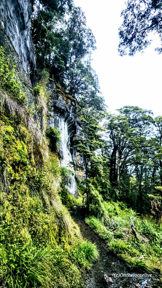
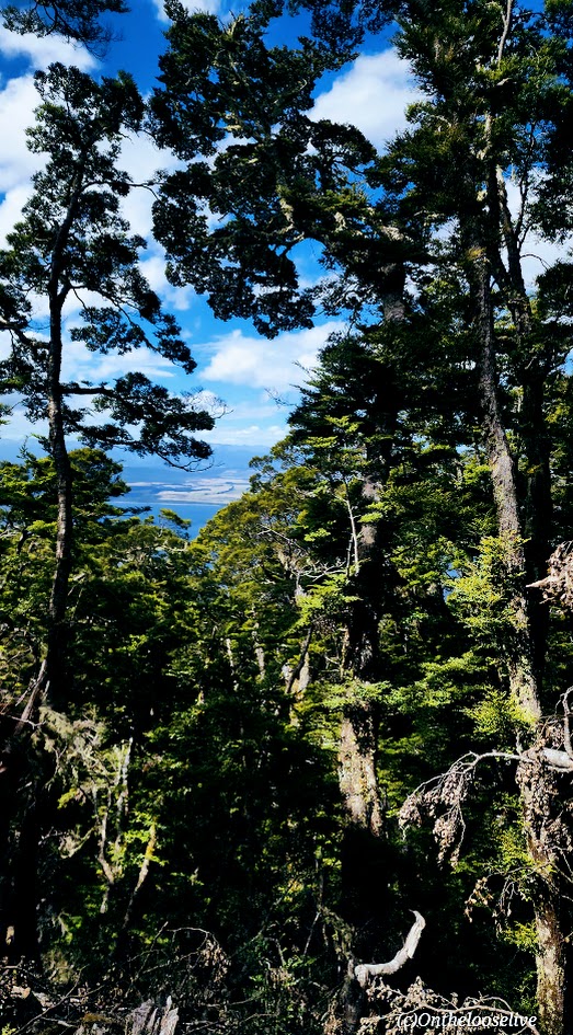
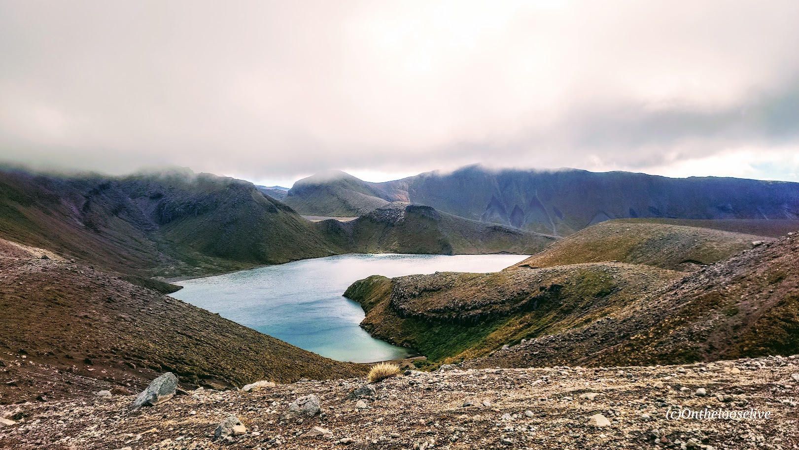
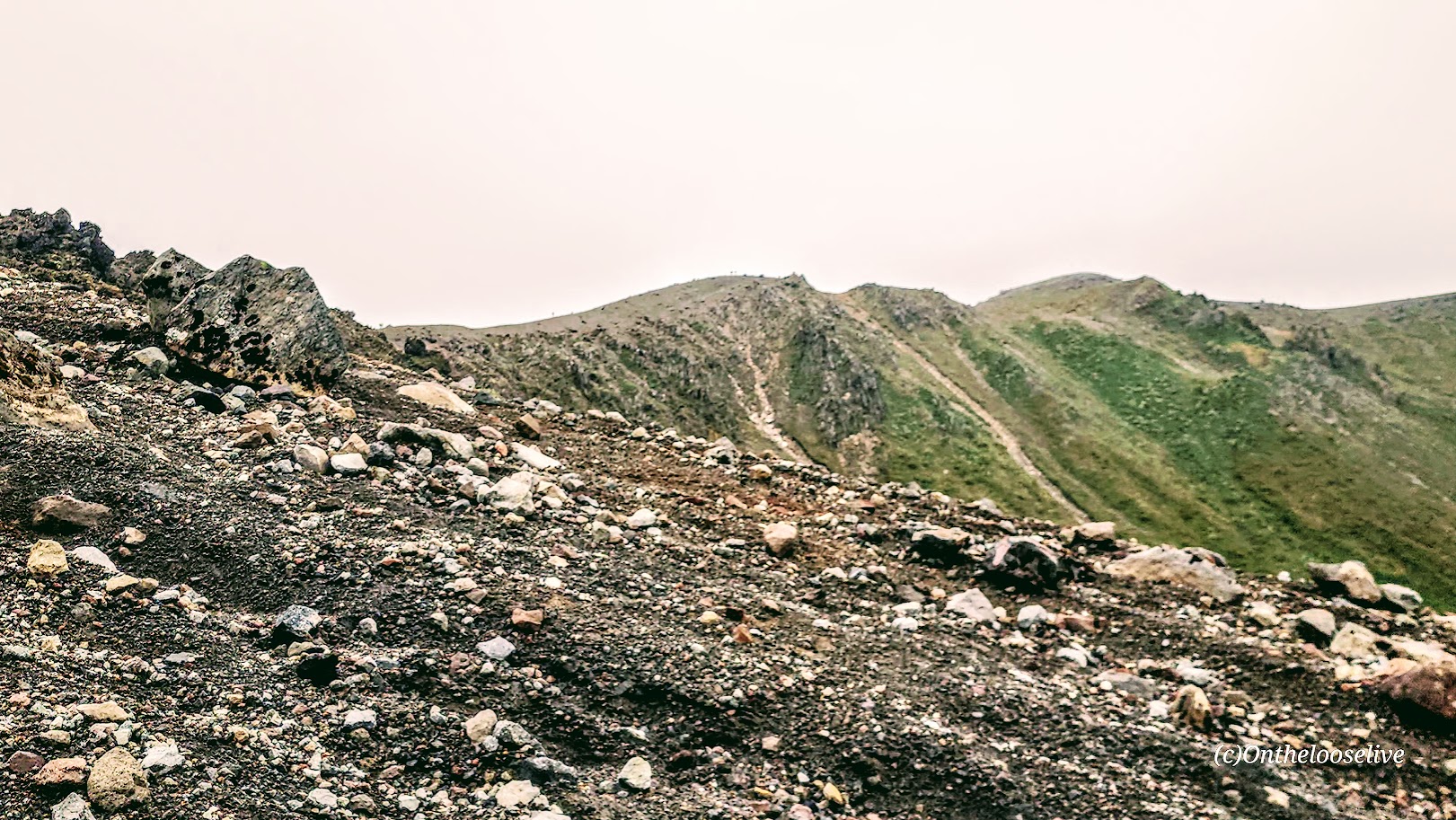
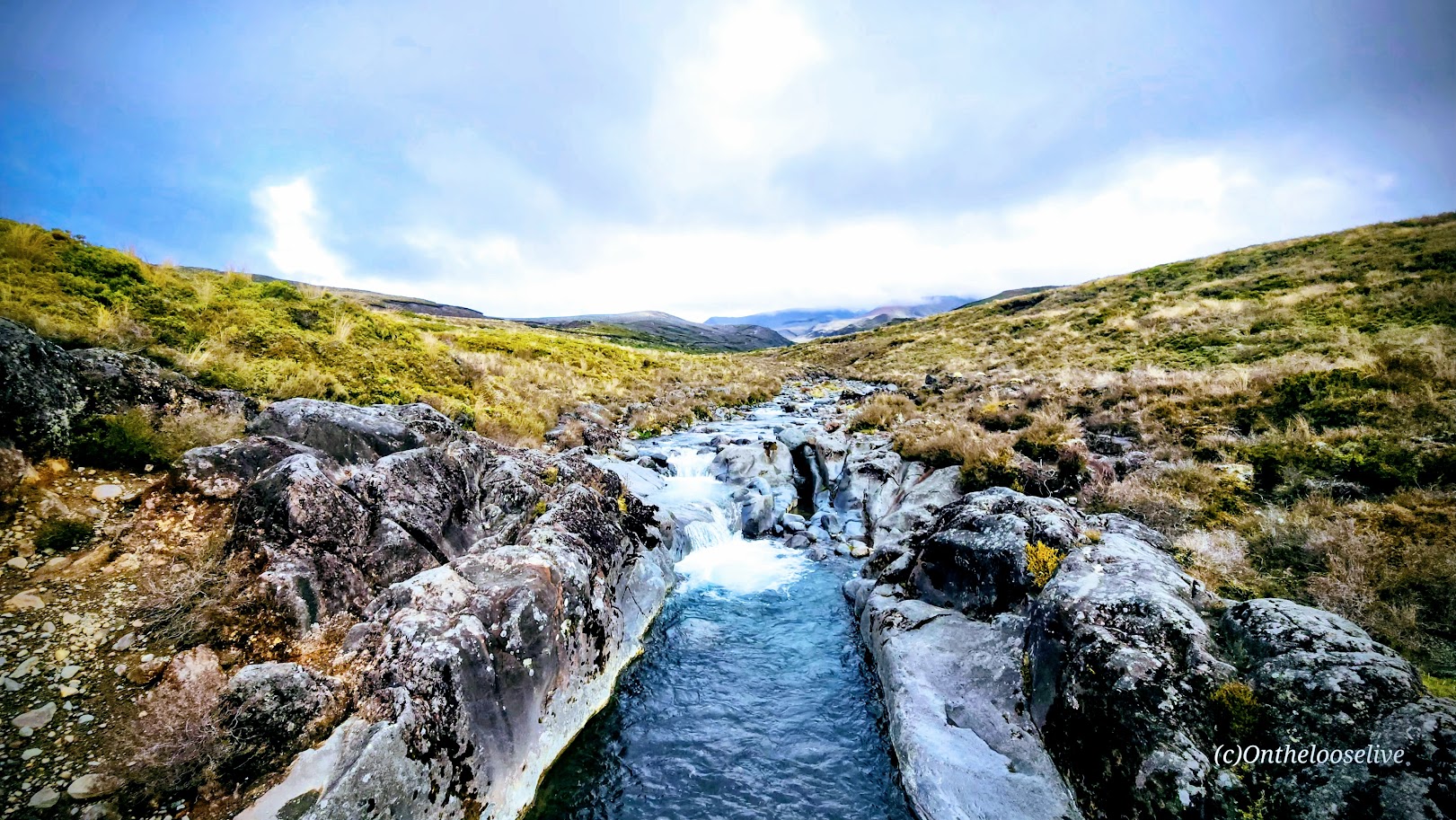
From the forest, you emerge onto the tussock-covered ridgeline with spectacular views of Lake Te Anau and Fiordland.
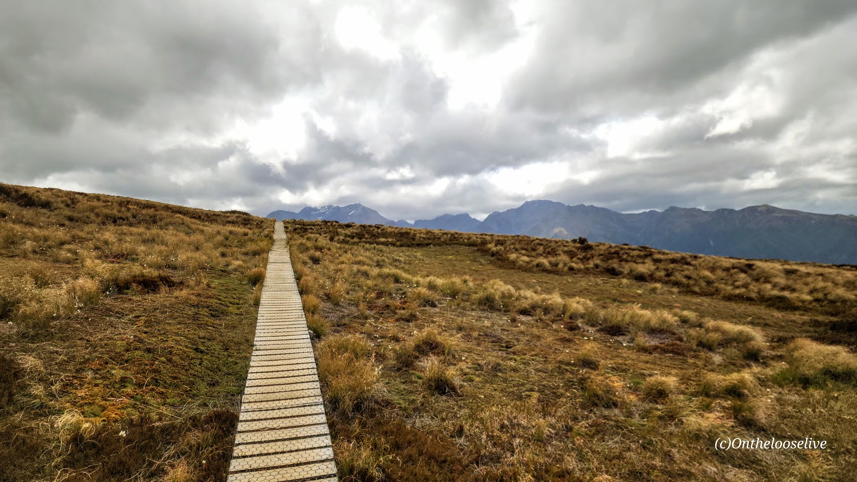
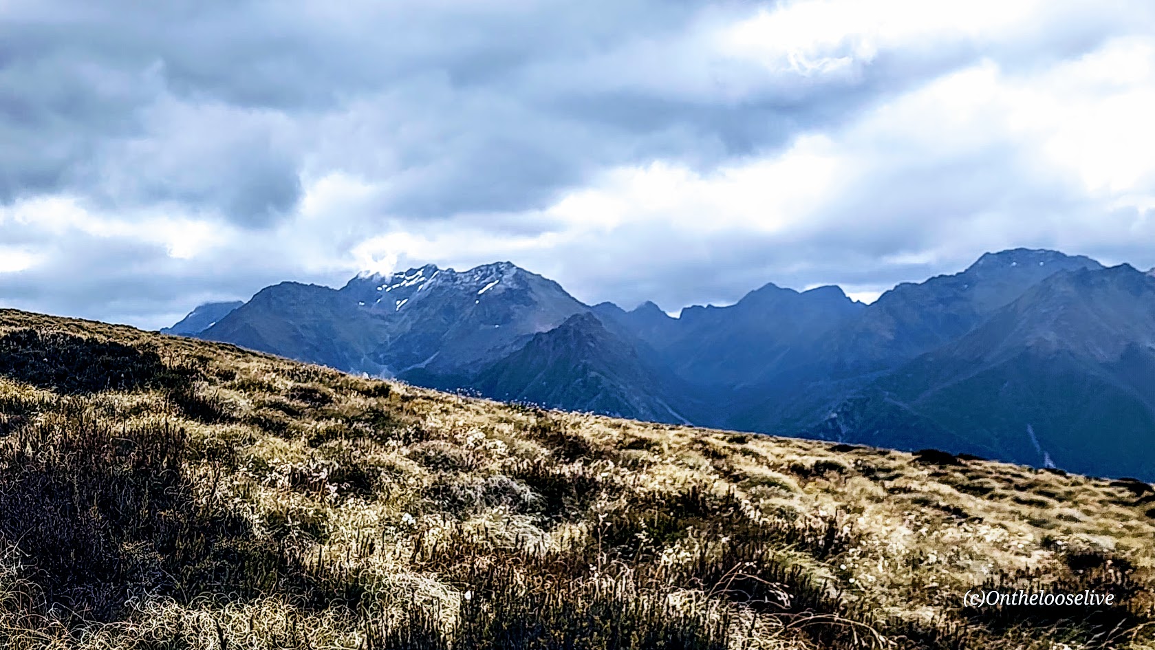
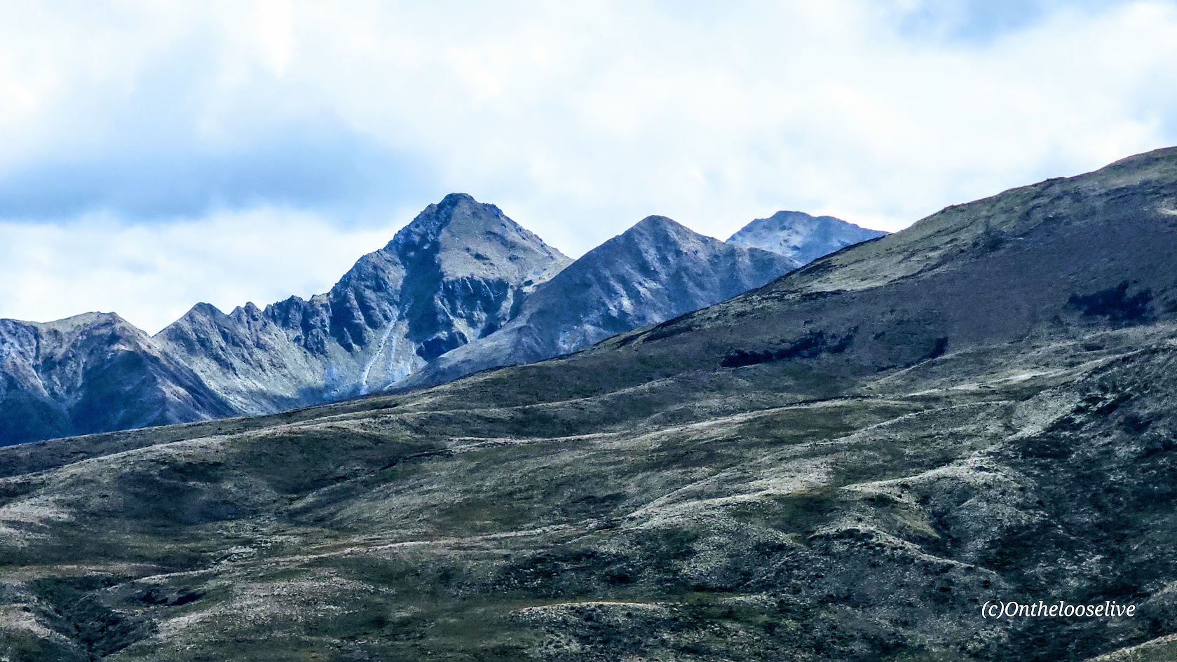
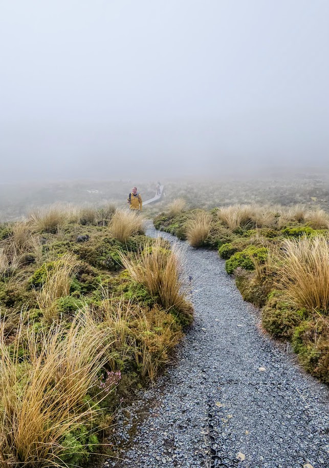
Pro Tip: Be prepared for sudden weather shifts with strong winds, rain, hail, or snow at the alpine level.
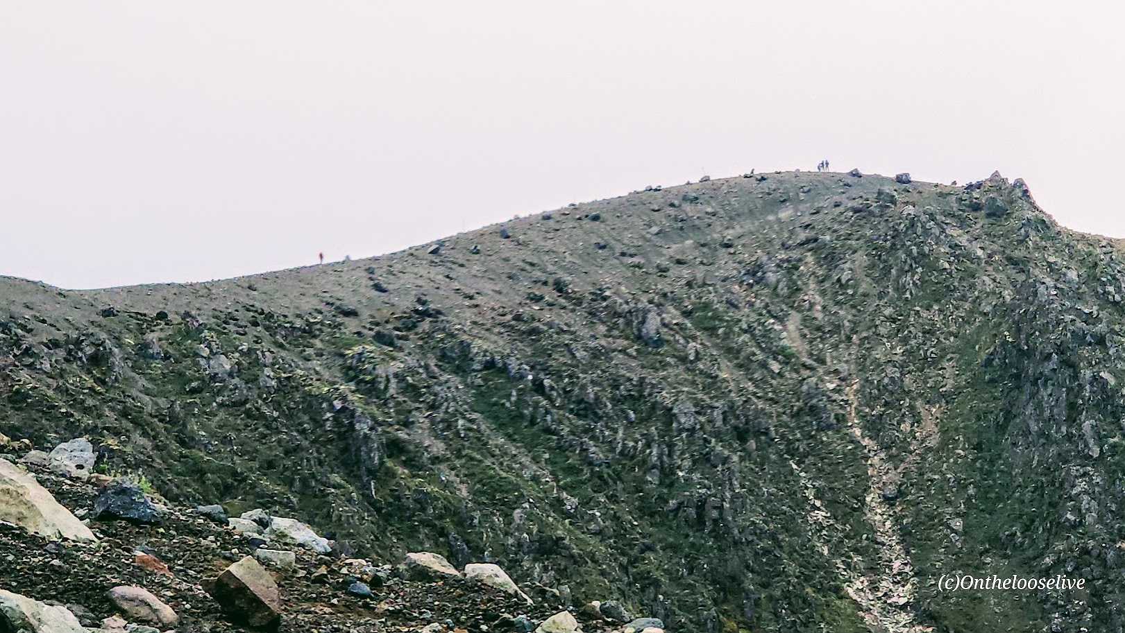
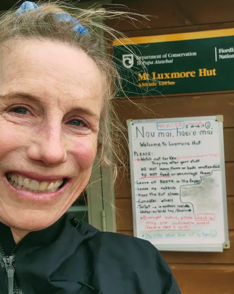
The moment I emerged from the protection of the forest onto the ridge, I was nearly blasted off it by cold, gale-force winds. The cloud bank was coming in fast. I had about a mile to go to reach the hut and was about to turn around when I ran into a hiker on his return trip who told me, “It’s just over the next hill…” (Note, in the video below, I’m a bit tongue-tied due to exertion and the wind; it’s Luxmore Hut, not Luxemburg Hut.)
I made it to Luxmore Hut, but I didn’t linger there either, as I wasn’t sure how bad the weather would get. Rain started mixing with the wild wind as I scurried back across the ridge.
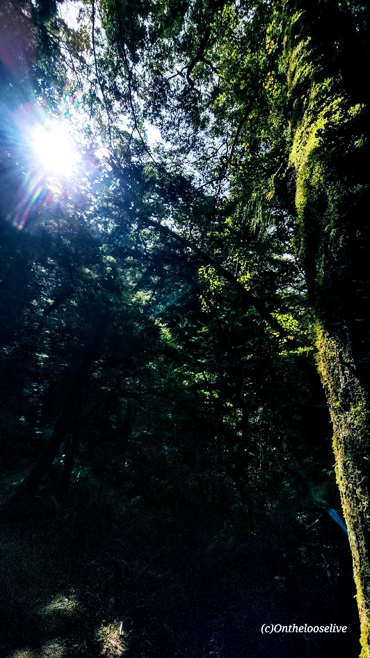
As soon as I dropped into the forest, it was like being transported to a safe haven. Yes, it was still raining, but not much moisture was making it through the forest canopy, and almost none of the wind was getting through.
Kepler Hut & Brod Bay Campsites Reservation Information at the Department of Conservation website. Reservations open in May for teh following season.
By the time I reached Brods Bay, though, the rain was heavier and more persistent. The previously serene lake looked more like an ocean with surfable white-water waves clobbering the shore. Happy, I wasn’t camping there and grateful for my rain jacket.
The Great Walks season is late October to April. Winter (May–October) is for experienced mountaineers only-requiring experience with snow, ice, avalanche hazards, and navigation. Consensus is that the moderate Kepler Track is more difficult than the Milford and Routeburn Tracks. While I did slightly less than half the miles and elevation gain of the whole Kepler Track, if the other half is similar, I’d rate it easy to moderate. For context, I’m used to the rugged terrain of Utah. So far, the groomed foot-friendly trails of the Kepler Track and the Tama Lakes Track have blown me away (almost literally, as you’ll see from the videos above) with how easy they are on the feet, knees, and body. I wore my Nike trail runners. It was dreamy, even in the wind and rain.
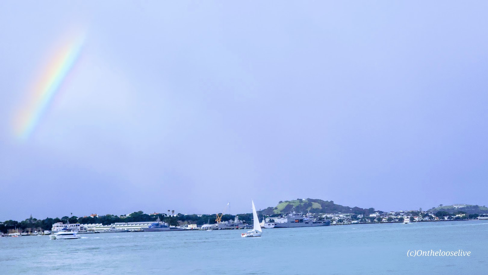
Getting There: The trailhead is at the Te Anau Control Gates a 3 mile drive or walk from Te Anau town center.
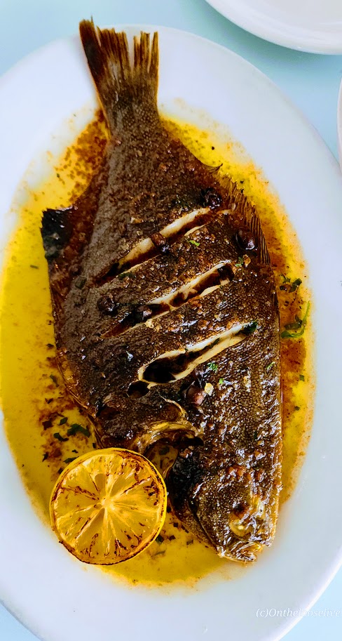
With its many restaurants and shops, the village of Te Anau itself is charming for a walkabout. Plenty of spots to come in out of the rain and refuel after a full, windy, wet day on the trail. Italian was the call that evening.


Happy Trails! Stay tuned for more New Zealand adventures!