Vincente Coast & Algarve With Top Bike Tours Portugal: Arrival Day

SPOILER ALERT: This was one of the best bike tours and active vacations I’ve ever taken by far—the guides and support van, the challenging, engaging road and gravel routes, the quality of the hotels and restaurants, the spectacular scenery, and ALL the cultural add-ons – private tour of Amalia Rodrigues, Portugal’s “Queen of Fado” spectacular Frank Lloyd Write inspired cliffside. seaside home,  the surprise private Fado concert, fortress tour, winery & distillery tours, etc. (As you probably know by now, I’ve taken a few bike tours and travel adventures, including Cuba, Thailand, etc.) Top Bike Tours Portugal exceeded expectations across the board. (Note: I tried to be expectations-free, but let’s face it, I’m spoiled by all the beautiful places I’ve seen and the excellent adventures I’ve been privileged to have.)

Thelmo, Pedro, and Top Bike Tours made my first encounter with Portugal not only unforgettable, but it’s no overstatement to say, life-changing, as it was a scouting trip for me to find a new EU adventure base camp and home.

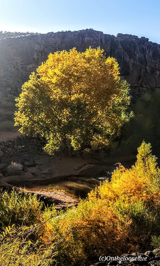
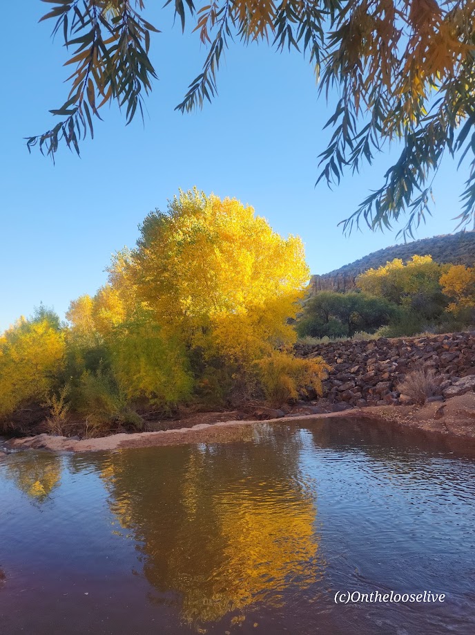
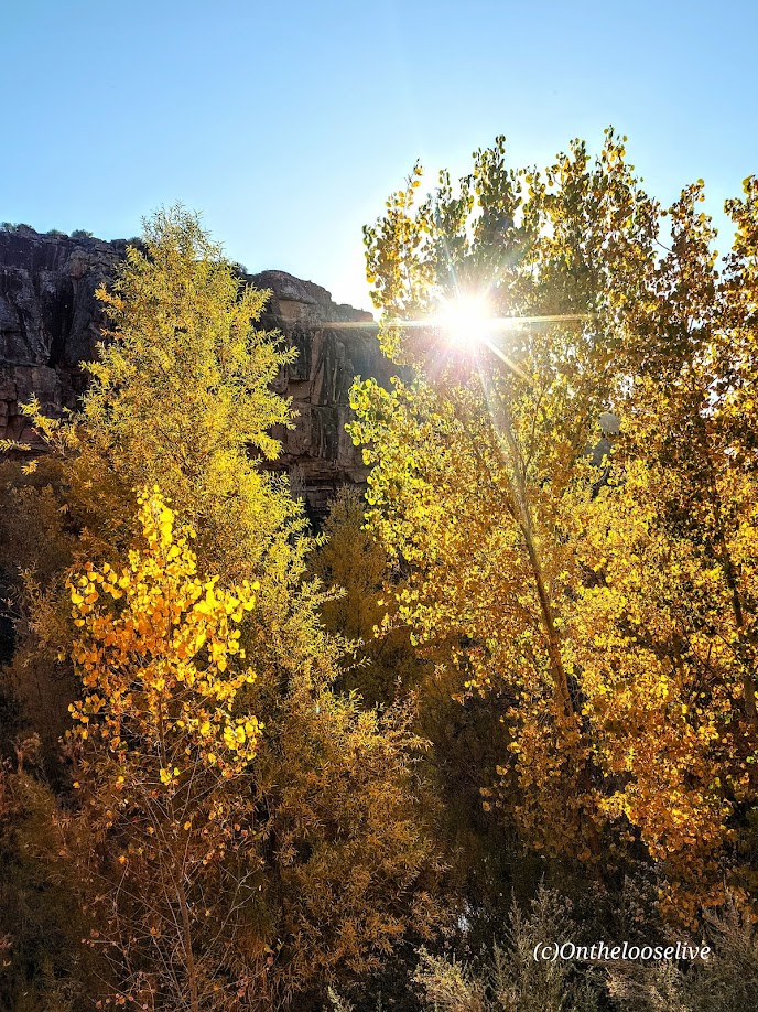
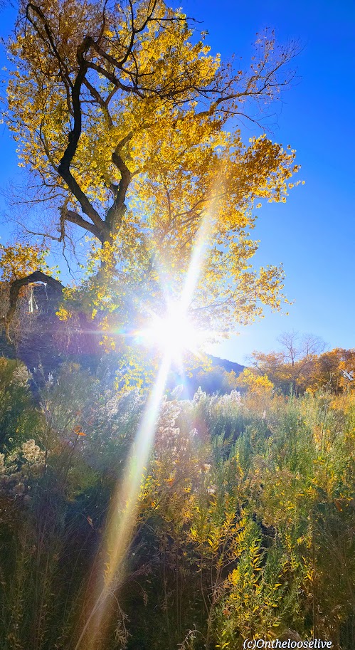
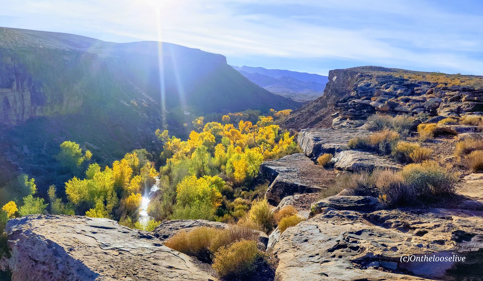
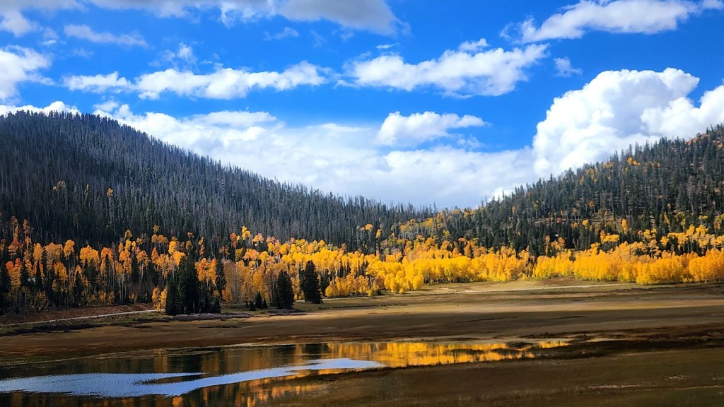
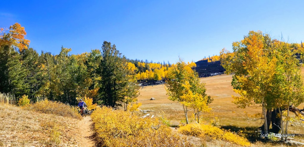
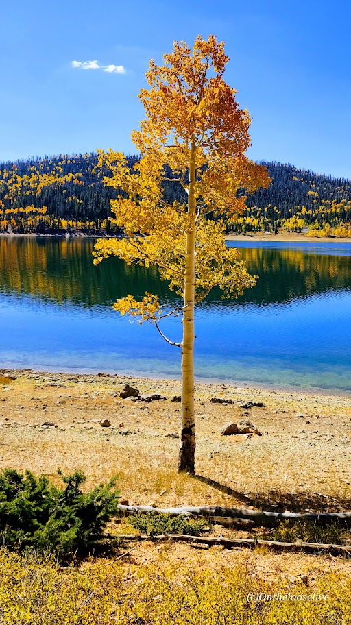
From the warmth of the people, the ravishing, pristine beauty of the coastlines, the exquisite cuisine, the extensive and challenging road and gravel biking, the surfing, and the enchanting, white-washed villages, I was spellbound. I left my heart in Portugal, and I’ll reunite with it sometime in the not-too-distant future… In the meantime, I’ll relive my incredible journey along the Vincente Coast and the Algarve in the posts to come.  

How Did I Find Top Bike Tours Portugal?

After conducting some research, I chose Top Bike Tours Portugal because I’d read a couple of rave reviews on an international middleman site that mentioned the company and guide by name. I also wanted to go direct to ensure that the local company would receive the entirety of my payment. While self-guided options were available, since navigation isn’t my strong suit, I chose the guided option with full Support and Gear (SAG) Van, which was only about $100 more per day and so worth it for the added peace of mind.

A break in my work schedule allowed me to join the “reduced” (shorter version) of the Vincente Coast Algarve 8-Day Bike Tour at the last minute. (Those who know me know me as “Last Minute Lydia,” and the way this trip and scheduling my subsequent eye surgery in Prague (more on this later) came together was in my typical spontaneous “if the stars align” fashion.

Total Distance and Mileage: 141 miles with 8,290 feet of climbing.

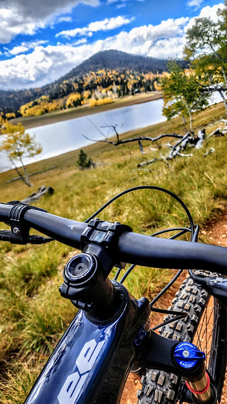
Difficulty on regular bikes: Moderate ++, depending on your fitness level – the hills are no joke here, and they are plentiful – 16% grade was not an anomaly. Also, having some off-road bike handling experience is important. Many in our group were not experienced with the rougher terrain of off-road gravel biking, and exercised good judgment by walking the sketchier sections.

  • Day 1 – Arrival Lisbon and van transfer to Santiago do Cacém
  • Day 2 – Santiago do Cacém to Vila Nova de Mil Fontes
  • Day 3 – Vila Nova de Mil Fontes to Zambujeira do Mar
  • Day 4 – Zambujeira do Mar to Aljezur
  • Day 5 – Aljezur to Carrapateira
  • Day 6 – Carrapateira to Sagres
  • Day 7 – Sagres to Lagos
  • Day 8 – Departure

Arrival Day 1

We arrived at Lisbon Airport in the afternoon (after a long travel day from Utah) and were met by an Uber driver who took us to a hotel.

Then, we jumped in a van for the 2.5-hour ride to the charming Octant Hotel in Santiago do Cacem.

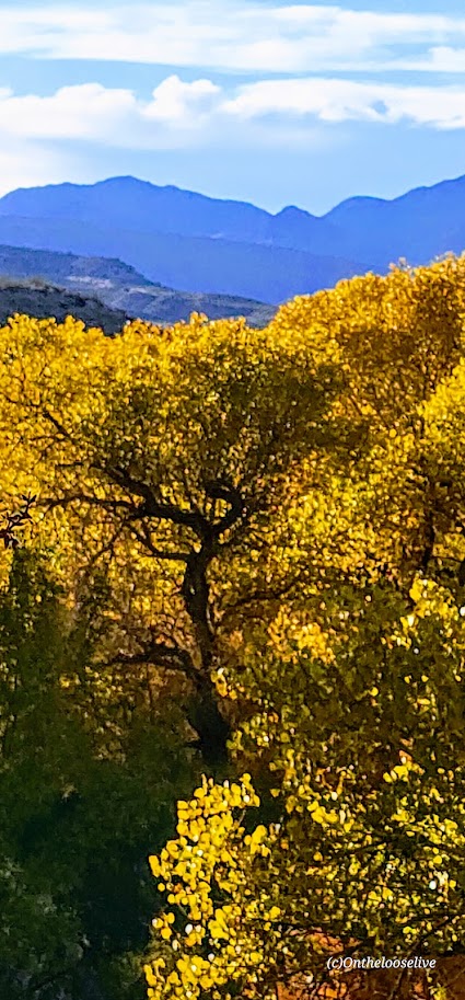
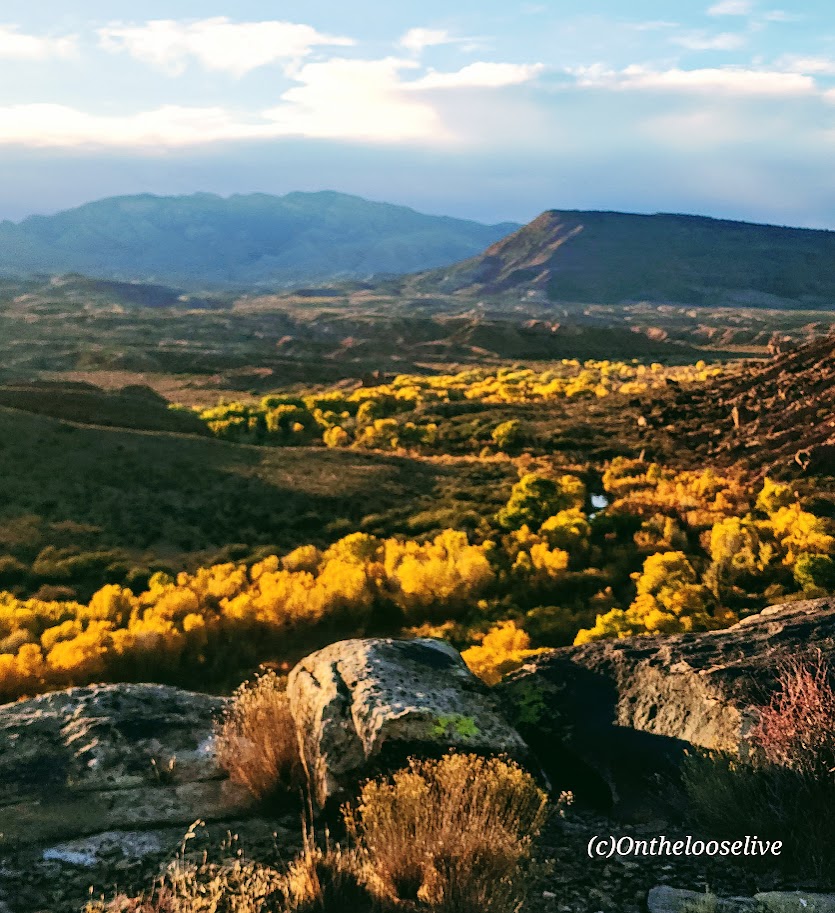
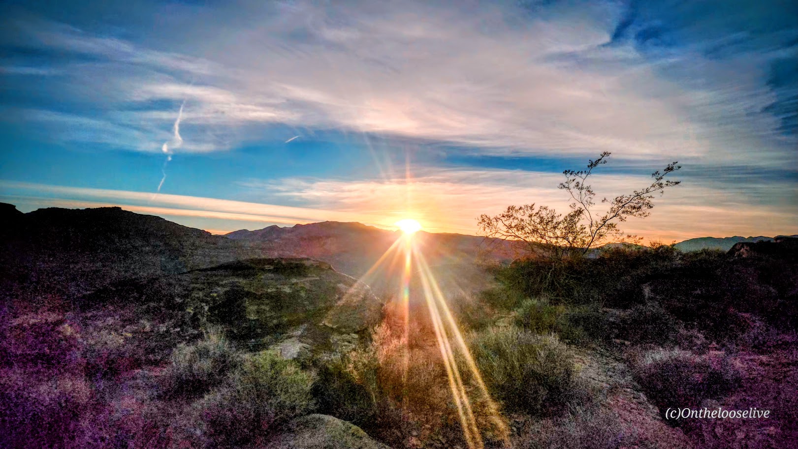
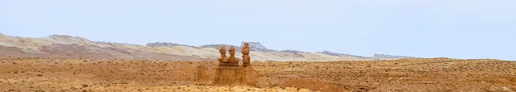
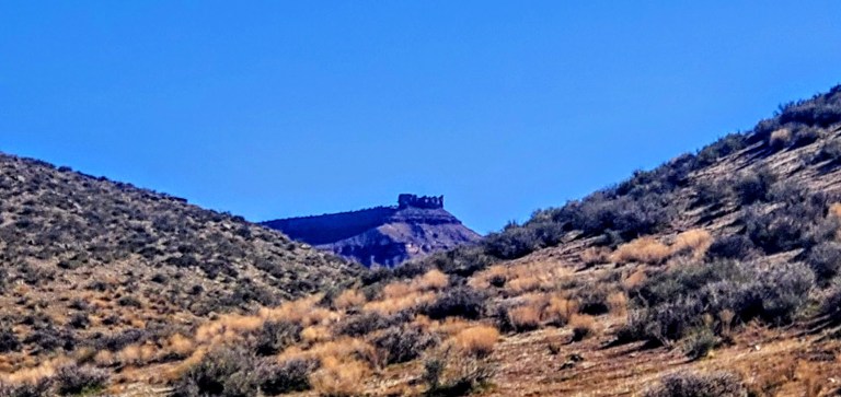
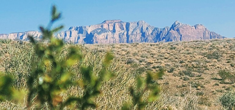
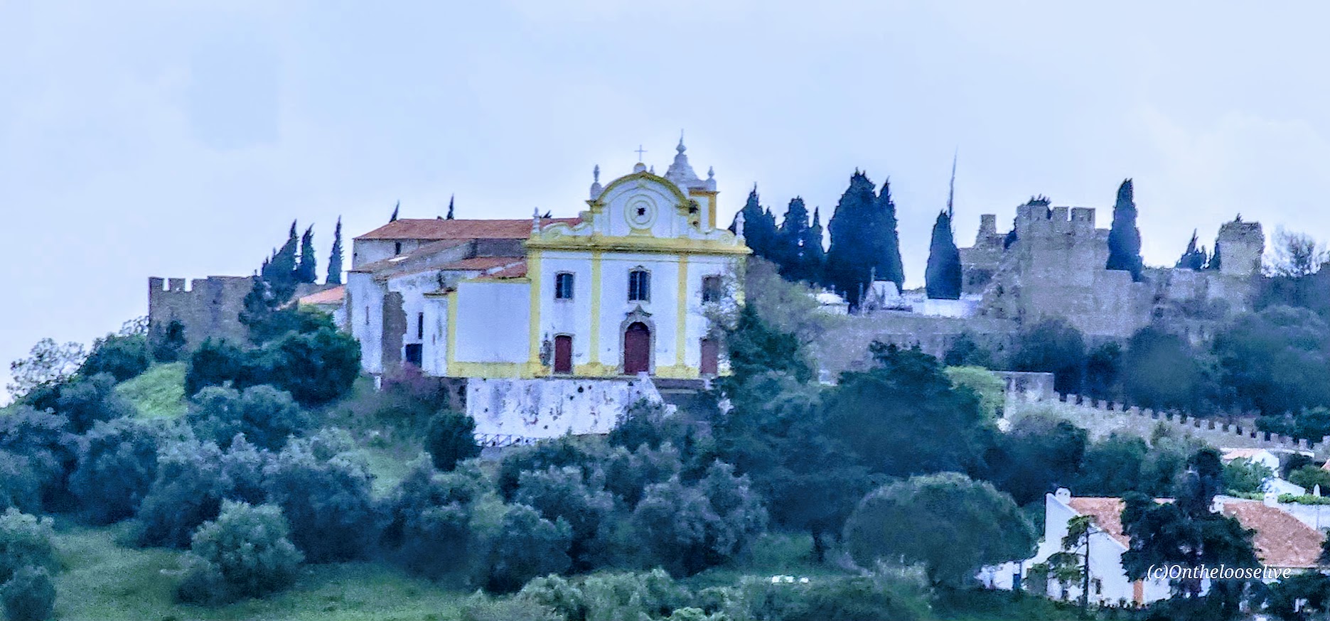
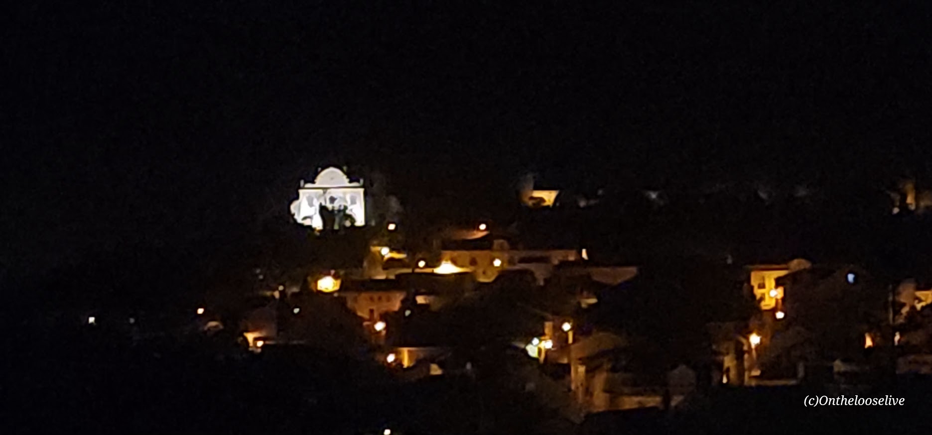
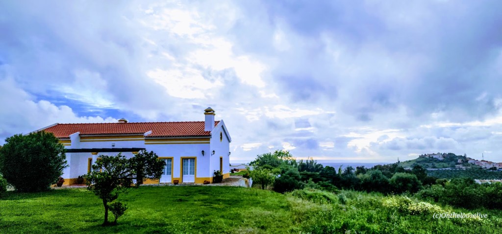
The featured image and the 2 images below are taken from my hotel room’s grass patio. In the distance, rooftops and a distant sea view. Across the way, a church and a castle dating back to the 5th century (didn’t realize it was there until I blew the photo up to write this blog).

At the hotel, we met with our guide, Thelmo, our support van driver, Pedro, and the rest of the tour group for introductions and bike fittings. Surprisingly, the group was comprised primarily of Americans (the exception being 2 Brazilian ladies). Out of the 14 of us, only 3, my friend Bradley, another fellow, and I opted for regular bikes; the rest chose e-bikes.

Much to my dismay, despite many valiant attempts by my friend, Bradley, and Thelmo and Pedro, the bike cleats I brought failed, so I would be left to ride on flat pedals without the knee-saving advantage of being clipped in. This would present quite a challenge on hills with my bone-on-bone knees, but I had to try. Of course, they offered me an e-bike, but, as you may know by now, I love challenges and being vigorous, and being a die-hard former triathlete and cyclist, I didn’t want to surrender my will to self-propel.

To shake off the effects of 24 hours of travel and give my legs a stretch, I took a quick walkabout before dinner. On my short scenic stroll, I encountered a couple of the well-fed local feral felines and discovered a windmill and Roman Ruins, which were closed for the night. I also saw what would be the first of many Cork Trees in the countryside. (Portugal is the world’s largest exporter of cork.) Cork trees typically take 25 years to reach maturity and then can be harvested every 10 years or so. The number on the tree connotes the next decade in which it can be harvested. Families that planted and cultivated cork trees leave an ecological, aesthetic, and financial legacy for whoever inherits or purchases the property, though climate change is beginning to compromise this, too.

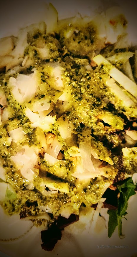
And dinner, let’s just say my first taste of Portugal was savory, delicately seasoned, and one of the healthiest meals I’ve had in a long while. I enjoyed the pesto salad and grilled fresh fish, both of which were outstanding, while my friend savored the octopus. The fragrant local olive oil is the best I’ve tasted, and it added a wonderful, subtle flavor dimension to both the pesto and the fish.

And then it was off to bed for some much-needed sleep, dreaming of the days to come…

Happy Active Adventures!

Anasazi (Tempi’po’op) and Tutkupetsi Trails, a Local, Family Friendly Favorite for Petroglyphs, Fall Colors, and Grand Views

Difficulty: Easy

Distance: Short: 1-5 miles; you can combine trails to make a longer loop

Sometimes, we take the people and things closest to us for granted. That’s the case for me and my local Anasazi (Ivins) and Tukupetsi trails (Santa Clara). These easily accessible, connecting trails are short (runnable and mountain bikeable), featuring the intriguing Land Hill petroglyph site, a fenced-in farmstead ruin once used to store food and herbs, and grand views in every direction.

I like these trails best when the Cottonwoods light up the rugged desert landscape with their vibrant flash of yellow, tracing the meandering (and meager) path of the Santa Clara River below. You can find me there, chasing leaves and golden light in my annual frenzy to catch it just right.

Take in the panoramic views of Red Mountain, Pine Valley Mountain, and, on a clear day, as far out to Zion from the ridge.

I will only post a couple of petroglyph pictures. I’d like you to be able to discover them for yourself.

If you’re interested in learning more about petroglyphs, my hiker/yogi friend, Sue Birnbaum, an adventure blogger, has thoroughly researched and written a great post on the subject, including recommendations for further reading.

Here are some highlights from the Tukupetsi side in Santa Clara from the vantage points of the upper and lower trails.

And more from Fall 2025.

Notes: Remember to leave no trace and respect all ancient petroglyphs and ruins. Please do not touch, step, sit on, or deface them. Oils in your hand can damage them, as can debris from your shoes. Perhaps think of them as outdoor museum art and appreciate their mystery.

These easy, short, fun hikes are offered by onthelooselive yoga and hike retreats and day adventures.

Happy Trails!

Exploring Goblin Valley State Park, Emery, UT

When you arrive at Goblin Valley State Park, you know you’re in Utah, but you may think you’re on another planet. Goblin Valley’s otherworldly scenery attracts visitors and filmmakers alike. The movie Galaxy Quest was filmed here.

While the small park offers a mere total of 6 miles of hiking, you may find yourself wandering for hours through the dramatic, twisted hoodoos, goblins, and rock mushrooms. The majority of the hoodoos can be encountered in the Valley of Goblins, an open free—range hiking area of 3 sq miles.

Be sure to check out the Goblin’s Lair (a massive cavern/ slot canyon), the Goblette’s Lair, 3 Sisters, and Molly’s Castle.

If you prefer to take in the unusual views by 2 wheels, you can enjoy the 7 miles of Wild Horse Mountain Biking Trail System.

If you like this sort of thing, you should check out Otherworldly Fantasy Canyon, a roadside geological wonderland, and Caves, Caverns, and Catacombs—Oh My! Cathedral Gorge State Park, Panaca, NV.

Happy Trails!

Exploring the Hurricane Rim and Canal Trail, Hurricane, UT

Distance: Your choice— 1 to 21 miles

Elevation gain: ~1,437 (There’s a gradual ascent in the first 2 miles or so and rollers beyond. If you go down to the Canal, you’ll have the return climb.)

Terrain: Single track (A few areas of “exposure” –other than those, generally great for trail running and mountain biking, except as noted on the trail – beware “The Drop”.)

The views are spectacular on this trail—stretching out to ZION and dropping down to the Canal below. Just over a mile into the Rim Trail, you’ll come to aptly named Panorama Point. Here, you’re standing on the Hurricane Fault, one of the longest earthquake faults in the world. Before you, the expansive western edge of the Colorado Plateau and the convergence of the Basin, Range, and the Mojave Desert. The Kaibab limestone cliffs date back to the Paleozoic era when the ocean submerged the area.

At about mile 2.4, you’ll reach a junction to go down the Canal Trail or continue on the rim. I took the Canal Trail about 3.25 miles down and explored around there. There are many discoveries to be made along the way, including tunnels, historical remnants, and hot springs. (Unfortunately, the latter are now behind posted No Trespassing signs.)

There are a couple of options to explore here by foot or by mountain bike. There’s a sign at the trailhead with the details that I’ve summarized below. Hikers and bikers may find it somewhat disconcerting/comforting that the hospital emergency phone number is listed at the top of the sign.

HURRICANE CLIFFS TRAIL SYSTEM

Bowery Trail One-mile round trip hike that follows the Canal, going over a flume and through a tunnel. (Not exactly sure where this one starts.)

Historic Hurricane CANAL TRAIL Traverse from the Hurricane Hill Trailhead to Virgin Dam Trailhead – 5.2 miles one way. The first 2 miles are rated moderate. The last 3.2 miles are rated strenuous.

Mountain Biking the 21-mile “LOOP”

Canal/Rim Trail (first 1.8 miles), Rim Trail, Jem Trail, Goulds Trail, and Goulds Rim Trail. The “LOOP” route is typically ridden counter-clockwise. For a shorter ride of your choosing, you can opt to do an out and back or arrange a car shuttle.

Notes: Horseback riding is permitted from Virgin Dam Rim Trail to Chinatown Wash and on the Gould’s Rim Trail. This hike is exposed –spring, fall, & winter are probably preferable to hiking here in the summer heat.

Getting there: Go south about a mile on US-59 up the hill above Hurricane City. The Hurricane Rim trailhead parking area is on your left and marked by several cell phone towers.

Happy Trails!

Ps. I know some time has passed since my last post. I’ve been caught up in my adventures and have some serious catching up to do on my posts. Stay tuned and thanks for visiting.

Navajo Lake Loop: MTB Nirvana, Cedar City, UT

I don’t tend to throw the word epic around much, though I have been on some epic mountain bike rides – Tahoe’s Flume Trail, Lake Crescent’s Spruce Railroad Trail, and while not epic per se, that little gem, Diamond Valley Lake was quite lovely too. Fond memories of those rides were stirred up by my ride today on the Navajo Lake Trail. As you can see, Navajo Lake and the surrounding area are dazzling in the Fall. It’s quite sweet in the Summer too, a great spot to escape the heat of St. George as it’s usually at least 10 degrees cooler.

It’s a sweet, highly scenic, nontechnical single-track cruise via the Navajo Lake Loop Trail and the Virgin River Rim Trail, aka the other half of the Navajo Lake Loop Trail. Great for mountain biking, trail running, or hiking.

Interesting fact: The lake was created when a lava flow dammed the eastern end of the valley.

Distance: 11 Miles

Staring elevation: 9,035′

Elevation gain: 827 ft

Navajo Lake Summer vibes – View from the Rim Trail sectionNLT vista 1

Winter vibes—taken from a hill above Deer Valley cross country and snowshoe area.

Frozen Navajo Lake

Getting there: From Cedar City  go east on Scenic Byway SR 14, 25 miles to the Navajo Lake road turnoff and keep your eyes open for the Navajo Lake Loop Trailhead parking sign on the right side of the road. It’s free to park.

Ps. There are campgrounds, and fishing, boating, and swimming are allowed.