Elevation Gain: 2,798 ft (Elevation at the peak is 7,876 ft.)
Difficulty: Moderate to hard, depending on your fitness level (AllTrails rates it hard and states that it takes 5-6 hours to complete. I finished in under 3 hours with plenty of photo ops / yoga pose shenanigans.)
Kyhv Peak was my recovery day hike after Mt. Nebo (post to come). Kyhv is the Ute word for mountain and is pronounced “kive” (like dive with a k).
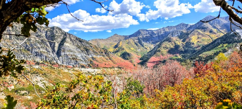
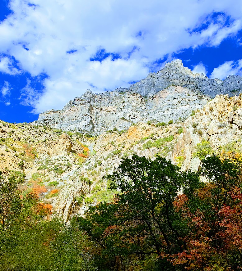
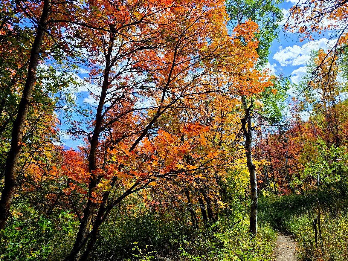
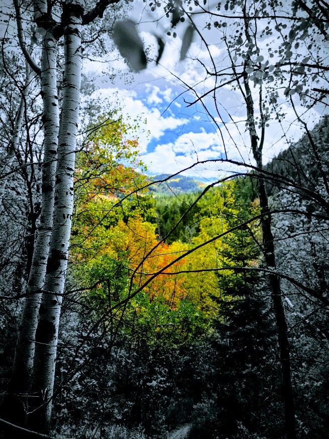
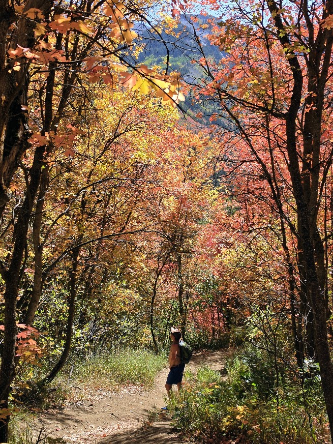
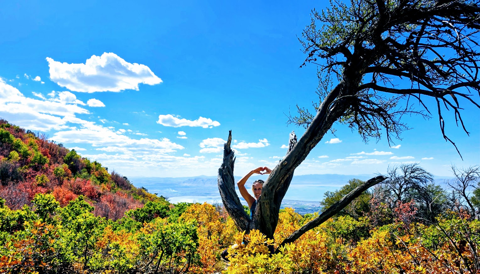
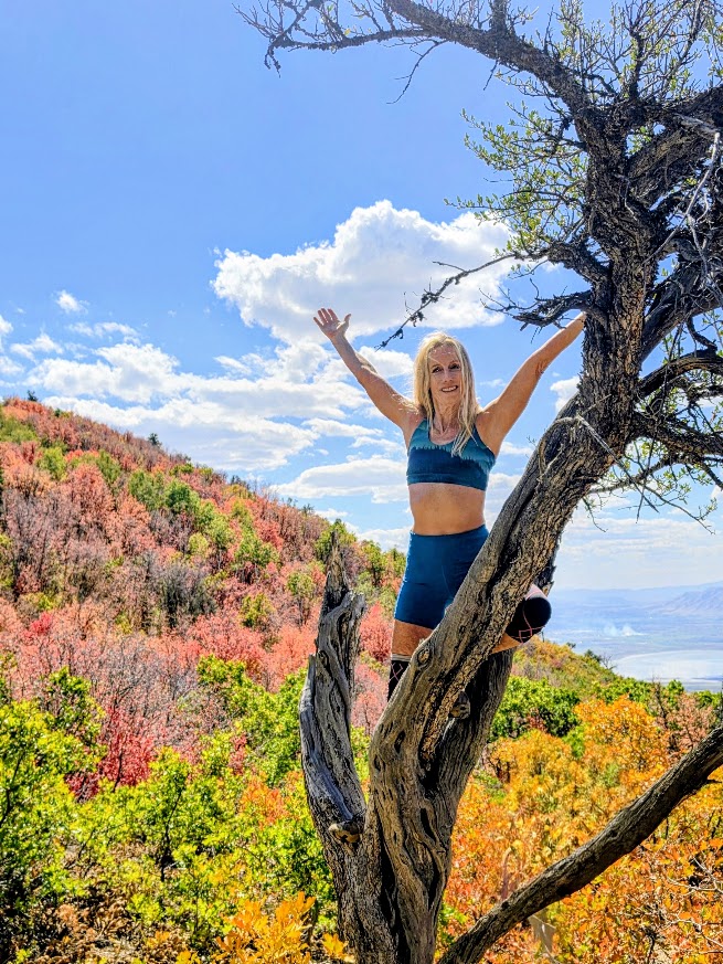
What a delightful Fall hike! I was so happy to catch peak colors. The first 1.5+miles are on a gravel road. You’ll cross 5 wooden bridges on the way.
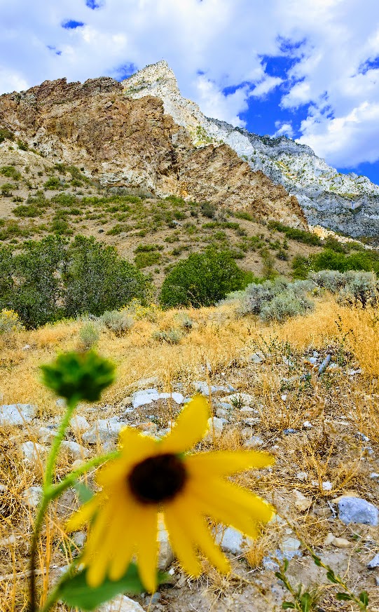
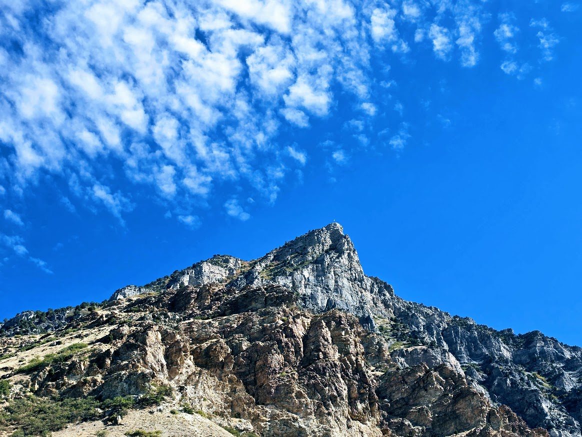
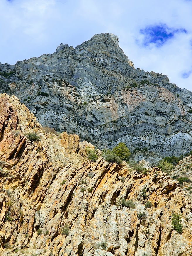
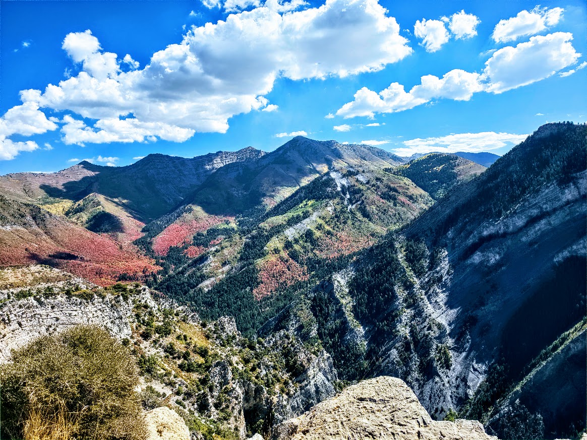
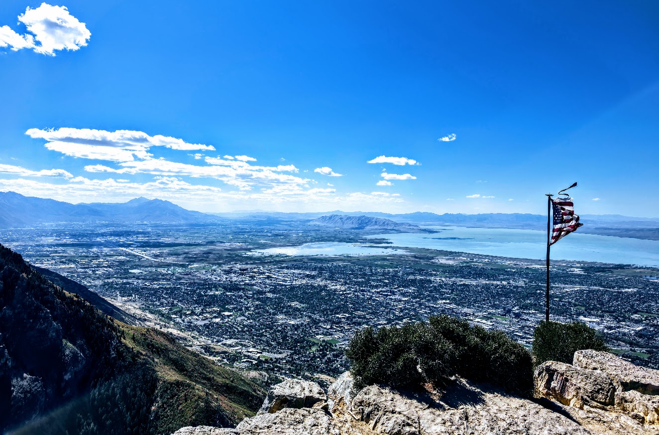
Seeing the peak looming in the distance can be a bit daunting, but the trail itself isn’t intimidating at all. If you look closely at the pictures below, you may be able to see the flag on the peak.
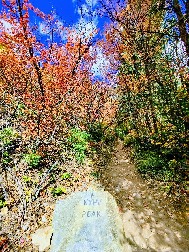
Take a left at the marked boulder and enjoy mostly smooth, shaded, charming single track (consistent incline that “pops” in a couple places, never for too long) as you climb up through the forest. If you’re up for it, the terrain is trail runnable.
Enjoy the journey, it’s beautiful all the way up!
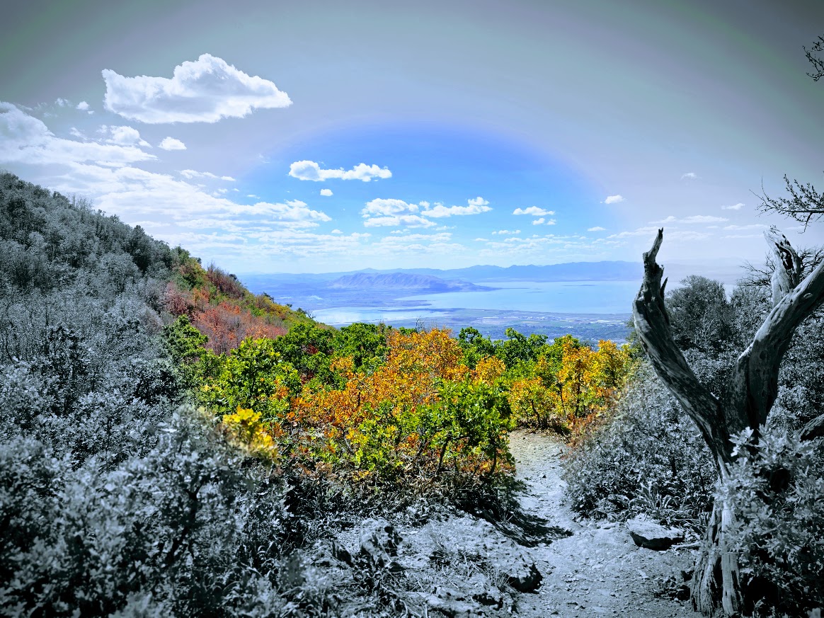
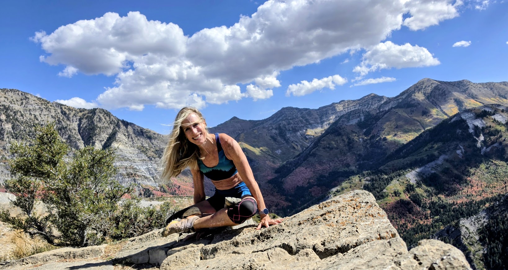
The peak rewards with panoramic views of Utah Valley, Utah Lake, and Mount Timpanogos.
Getting There: I-15, exit 269, left onto 900 East, right on Temple View Drive, right on E 2300 North to the Rock Canyon Trailhead parking lot.
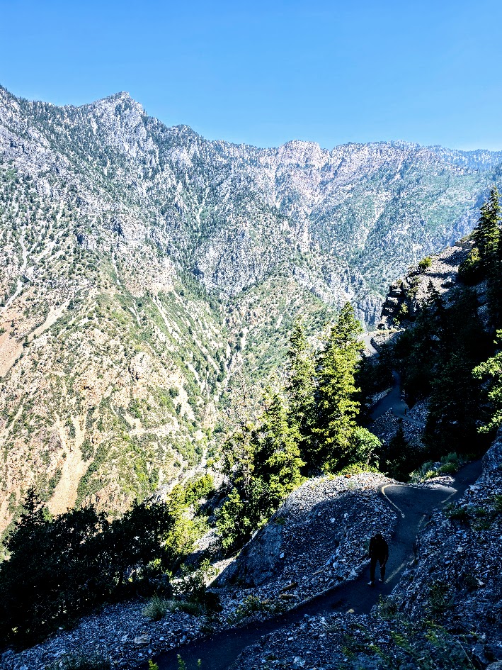
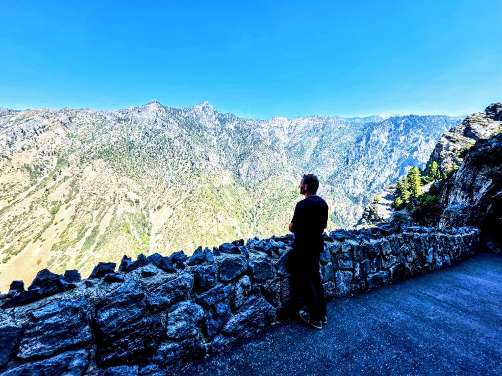
Note: For a shorter, less intense hike (1–4 miles, ~285–1,377 ft elevation gain), take Provo Canyon (US-189), turn onto Kyhv Peak Road and continue past the paved overlook onto the rough dirt road. High-clearance vehicle recommended. To see the views without a hike, enjoy the paved overlook.
Happy Trails! This was definitely my Autumn BLISS!
The Wildflower Trail, The Easy Way: Via the Snowbird Ski Resort Tram: 1 mile rt + ~400ft elevation gain – Begin at Hidden Peak, wind down switchbacks through Mineral Basin and through the Peruvian Tunnel.
The Hard Way From the Bottom of the Tram: + 7.5 miles + ~3k ft elevation gain (Take the tram down or double your mileage)
Continue to Cecret Lake Saddle Overlook: add ~ 2 miles with a total of 4,524 elevation gain (Take the tram down or double your mileage.)
If you know me by now, you won’t be surprised that I took “the hard way” up (alternating between the fire road and the multiuse Big Mountain Trail (keep your eyes and ears open for downhill mountain bikers) to the Wildflower Trail and beyond to Cecret Lake via Gorilla Pass and Mount Baldy. This time, it wasn’t entirely intentional. I was ready to hike before 8AM, but the tram wasn’t scheduled to tram until 11AM. (Surprising Summer hours, given that hikers usually want to get an early start to avoid afternoon storms.) The solution was obvious—beat the tram up the mountain, and so we did.
The sublime, surreal reward of the Wildflower Trail left me both breathless and speechless. Hopefully, you can see why.
It’s not surprising that this trail is often featured in the annual Wasatch Wildflower Festival a free, annual multi-day summer event hosted by the Cottonwood Canyons Foundation which spans the four Cottonwood Canyons ski resorts (Brighton, Solitude, Snowbird, and Alta) that are just 45 minutes from Salt Lake City. I’ve experienced the California super blooms, which are incredible, but this had a totally different, ethereal feel. Perhaps it’s because there were no traffic jams en route, nor cars piled up by the side of the road, and it wasn’t overrun by too many humans, particularly influencers crushing the wildflowers underfoot and underbody for their shots and the kids and adults picking them. (In fact, I hiked the Wildflower Trail twice around sunset and we had it all to ourselves!) So happy for the spontaneous rendezvous with my dear high school friend Kathy, whom I haven’t seen in forever! What a treat to share the trail with her. She knew all the wildflower names! In the bottom right picture, she is pointing to the coneflowers. The cone is made up of hundreds of tiny disc flowers that turn into seed heads, which provide winter food for goldfinches and songbirds.
Note: The Wildflower Trail hike and the top of the tram (Hidden Peak) are at 11k feet, as is the ridgeline you traverse if you continue on to Mount Badly and beyond to Cecret Lake Saddle or down to the lake itself.
The descent to the connector trail to Cecret Lake is rugged and scarmbly, with loose rocks and slippery scree (See pic below, top row, 3rd to right). It makes you wonder if you’re really on a trail. Not sure what happened there, but it’s a mess and in stark contrast to all the other well-groomed, runnable trails. Proceed with caution if you decide to add on.
Even though you’re at high altitude and it’s cooler than at the bottom, you’re still completely exposed to the intense, alpine sun and susceptible to heat- and altitude-related illness. So remember your sunglasses, hat, sun-cover shirt, and bring plenty of water. (If the restaurant is open, you can refill at the top.) Cautionary tale: My other hiking buddy didn’t bring enough water, didn’t refill at the top, and hiked shirtless, with his dark, tanned back absorbing UV radiation (which, I learned, increases by about 10% for every ~3,280 feet of elevation gain). In my friend’s defense, he thought we were going to take the tram up and hike a shorter hike, and we both forgot to refill our water at the top. Unfortunately, on the tram down, he felt sick from extreme dehydration and heat- and altitude-related illness that nearly sent him to the hospital. (The medic at Snowbird was awesome, as were the firemen.) Fortunately, he recovered fine, but it serves as a stark reminder to both of us that altitude, sun exposure, and dehydration are never to be taken lightly.
Lodging: I highly recommend treating yourself to a stay at the Snowbird Resort. Superb experience, incredibly helpful and accommodating staff, good food, fun times. Keep your eyes open for an upcoming “Top Pick Post” on Snowbird Resort.
Happy Trails!
PSA: Reminder, please don’t pick or walk on the wildflowers anywhere; it harms the delicate ecosystem, impacts pollinators, and means fewer flowers each year.
Challenge yourself to find creative photo op solutions. (I scouted the shot above with the wildflowers in the foreground by placing myself on the switchback of the trail ahead, so it appears that I am standing in an uninterrupted field of wildflowers.)
Difficulty: It’s a steep, sun-exposed, paved trail. Know your limits. (Hats, water, running or hiking shoes.)
Cave Temps: 43° to 49°F, wear layers
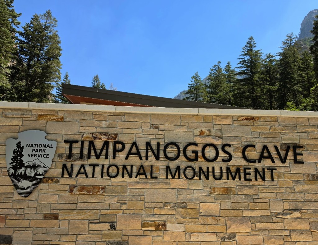
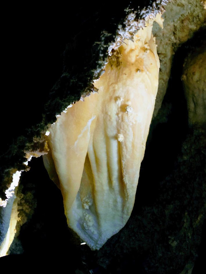
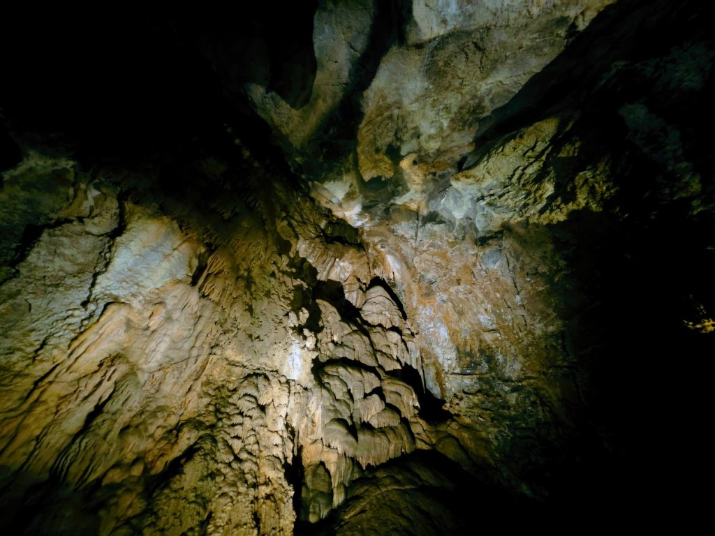
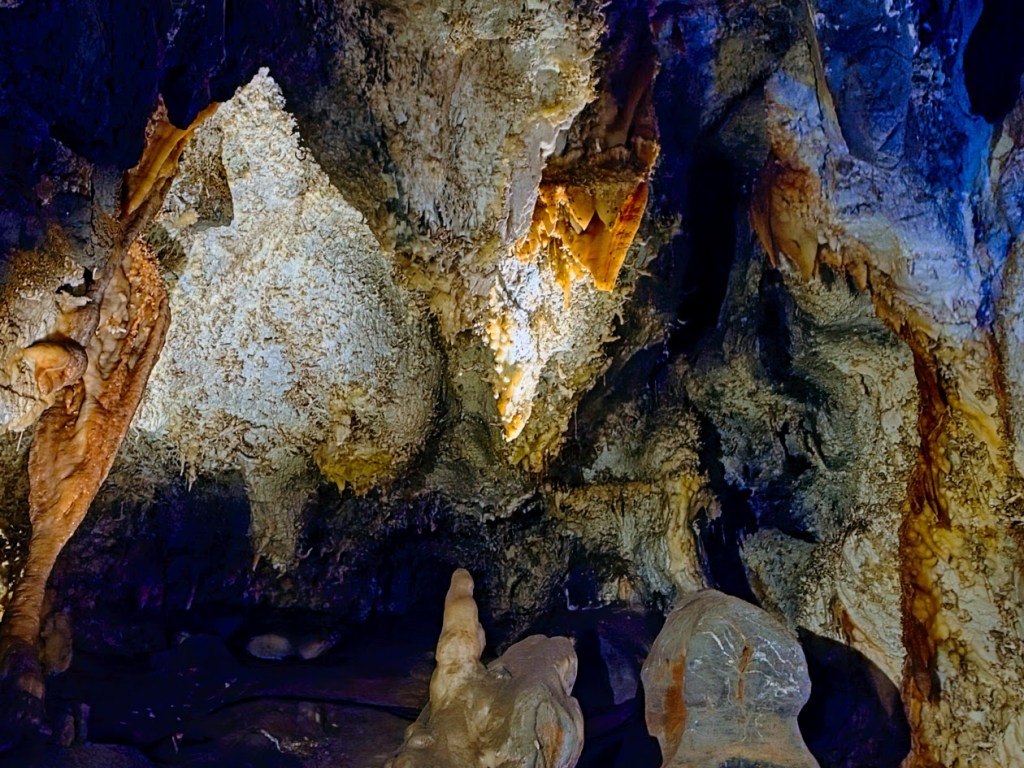
Scenic Location: The Timpanogos Cave system (Hansen, Middle, and Timpanogos) is located on the south side of the steep-walled American Fork Canyon, in the center of the Wasatch Range at the convergence of the Great Basin, Unita Basin, and the Unita Mountains.
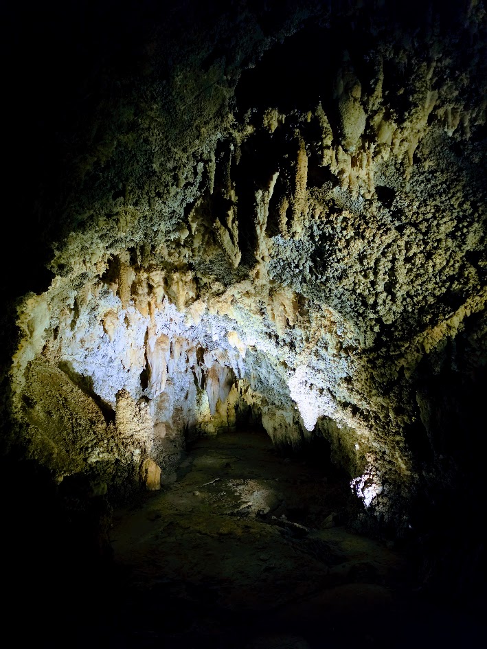
The 3 caves are located an average of 150–400 feet below the surface. Most of the ceilings are 5 feet or higher, so if you have slight claustrophobia like I do, you’ll be fine.
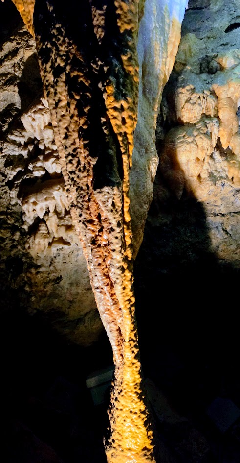
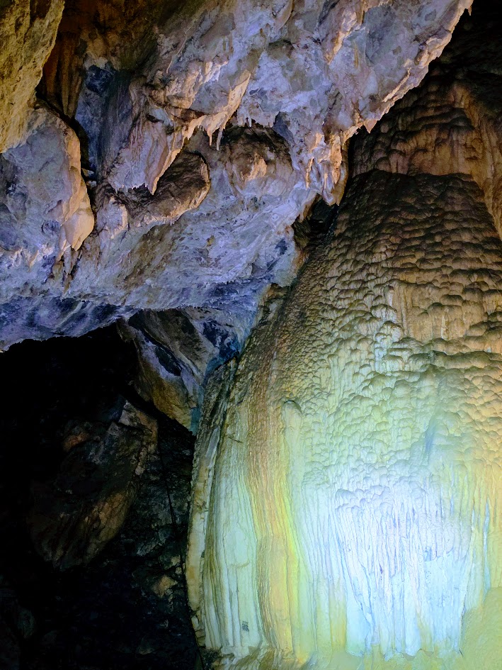
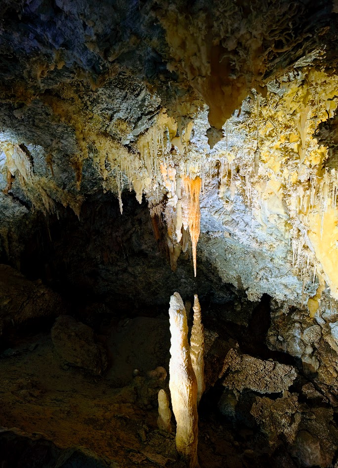
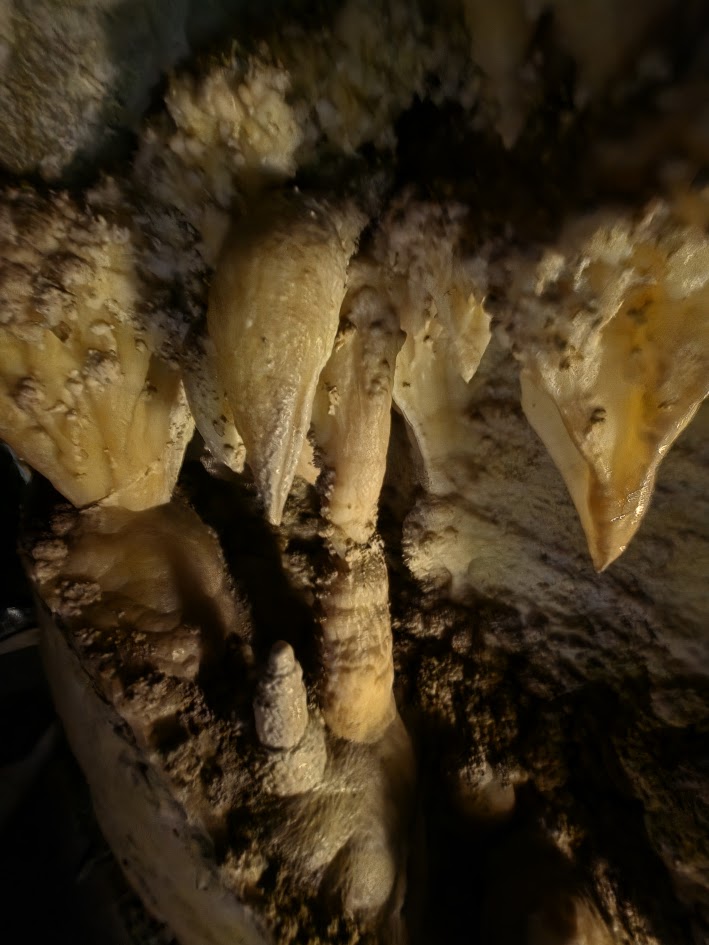
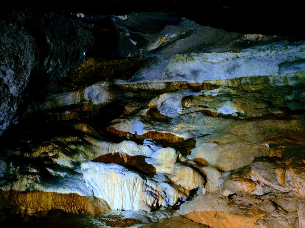
The caves formed along three minor faults and the bedding planes in the Tetro and Uncle Joe Members of the Deseret Formation. They are distinguished by vibrant colors and plentiful delicate helictites (sideways, curving), rare anthodites (flower/snowflake/coral-like), and stalactites (hanging from the cave ceilings like icicles) and stalagmites (rising from the cave floor). The mineral deposits that form from slow drops of water over the ages and sometimes meet, connecting to form stalagnates—single pillars from the cave’s ceiling to its floor. All of these structures take thousands of years to “grow” just a few inches.
History: From discovery to preservation, the story of the Timpanogos Cave System is one of exploration, irreplaceable loss, and ultimately protection.
Pioneer logger Martin Hansen discovered Hansen Cave in 1887, and his family soon began guiding visitors through its remarkable passages. In the early 1890s, the Duke Onyx Company mistakenly believed the cave’s colorful calcite flowstone was valuable onyx. In those days, miners relied on appearance to make their determinations, rather than hardness or acid test, which would have distinguished quartz-based onyx from soft calcite (fingernail texture/fragility). Based on the false assumption that the flowstone was Onyx, the company removed a massive 15-ton slab—erasing millions of years of natural history in just a few months.
In 1913, teenage explorers James Gough and Frank Johnson discovered Timpanogos Cave while touring Hansen Cave with their families. Like many at the time, they believed the cave contained valuable minerals and filed mining claims. After years of legal disputes, independent geological experts confirmed that the limestone caves contained no precious ores.
Recognizing the caves’ true value as a natural treasure, President Warren G. Harding signed Proclamation No. 15040 in 1922 under the Antiquities Act of 1906, permanently protecting the cave system for future generations.
Today, Timpanogos Cave stands as a reminder of how easily and carelessly Earth’s greatest treasures can be destroyed and how important it is that we practice stewardship, protection, and preservation.
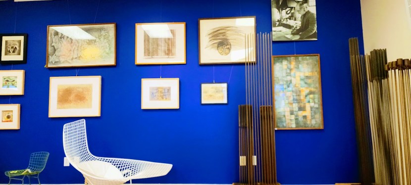
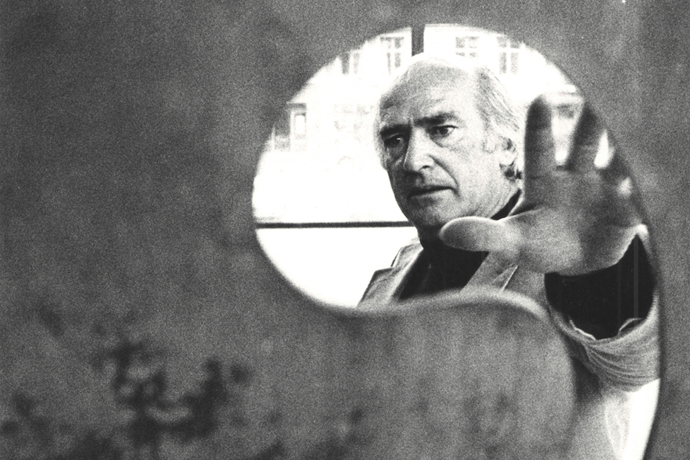
Have you heard of the Italian artist Harry Bertoia? I hadn’t, but am so glad I was introduced to his eclectic works by none other than his daughter, Celia Bertoia, who runs the Harry Bertoia Foundation right here in St. George. Harry Bertoia was a renowned Mid Century Modern Italian artist whose favorite medium was metal. During the war, when metal was scarce, he created prints, which he called monotypes. A prolific and selfless artist, Harry Bertoia preferred not to title or sign his art because it came from “the great Oneness,” and he wanted the audience to experience it and interpret it freely.
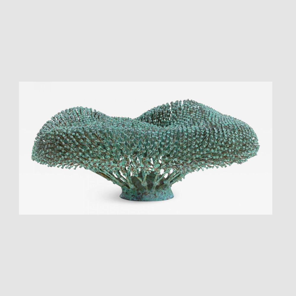
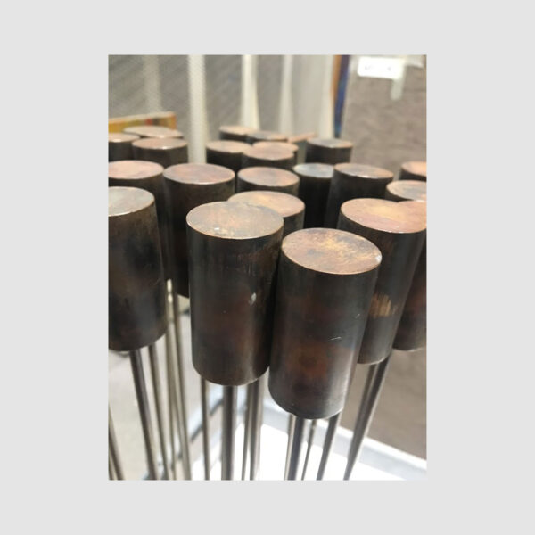
From jewelry to chairs and sculptures—especially his mesmerizing“Sonambient” sounding sculptures (check out the videos and learn more)—his artistry fascinates and engages on all levels: visual, tactile, and auditory.
A few of Harry Bertoia’snotable artistic achievements
Wedding rings for the artist Ray Eames and his wife
The iconic 1952 Diamond Chair for Knoll—a staple of 1950s modern furniture—
While all his artwork is compelling, the “Sonambient” sounding sculptures drew me in the most. I love that Harry Bertoia coined the term sonambient (Latin root words for sound and environment) to refer to his sound sculptures (varying in size from delicate rods to thunderous gongs up to 10 feet in diameter). I immediately connected to their natural shapes and movement—some evocative of reeds and cattails, swaying in the breeze. Celia was gracious enough to treat me to a private concert/sound bath, playing each sculpture into a splendid symphony. The deeply resonant tones of the sculptures struck chords of connection in my soul. The experience made an indelible imprint on me – as if the sounds of the tonals are still reverberating through me. What beautiful gifts this selfless artist left us. Grateful to him and his daughter, Celia, for preserving his legacy.
If you’re in the Saint George area, stop by the Harry Bertoia Foundation. You’re invited to Harry Bertoia’s Birthday Bash at the Foundation, March 10, 12-4.1449 N. 1400 W #11, Saint George, UT 435-673-2355
Bang one of Harry’s gongs at Red Hills Desert Garden, 375 E Red Hills Parkway, St George, UT.
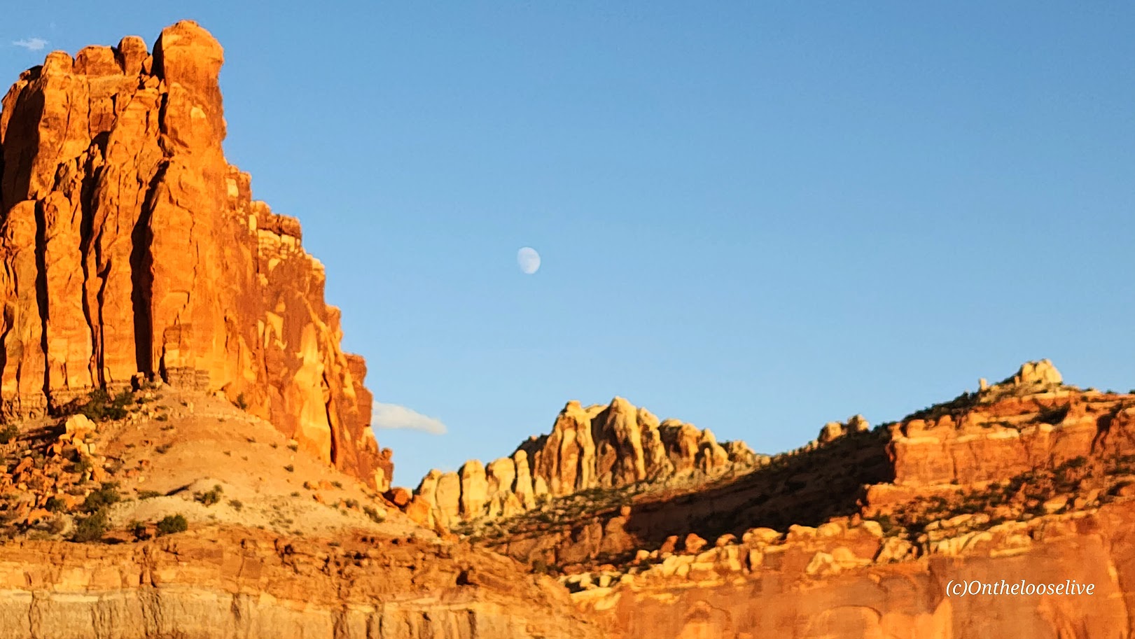
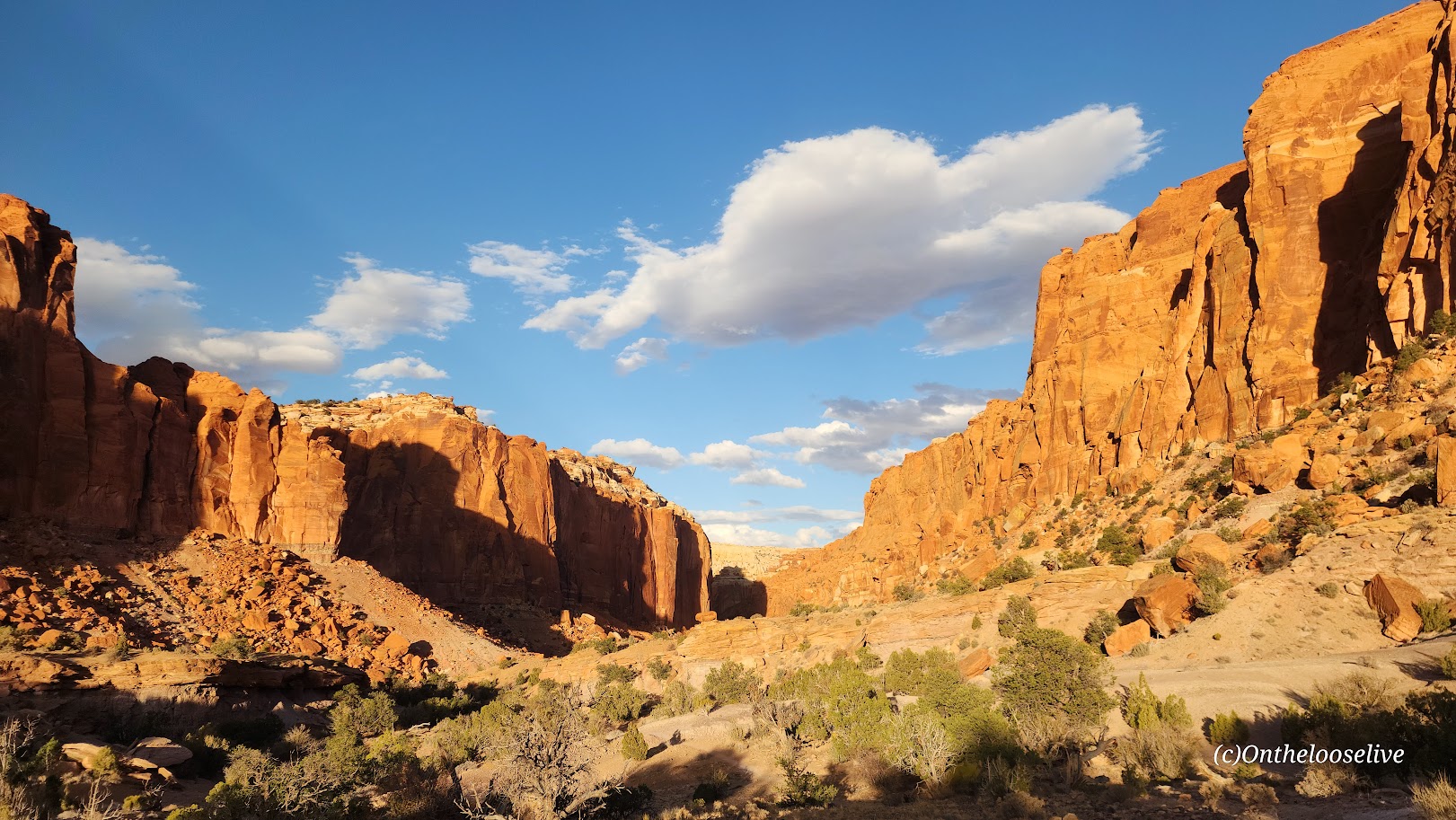
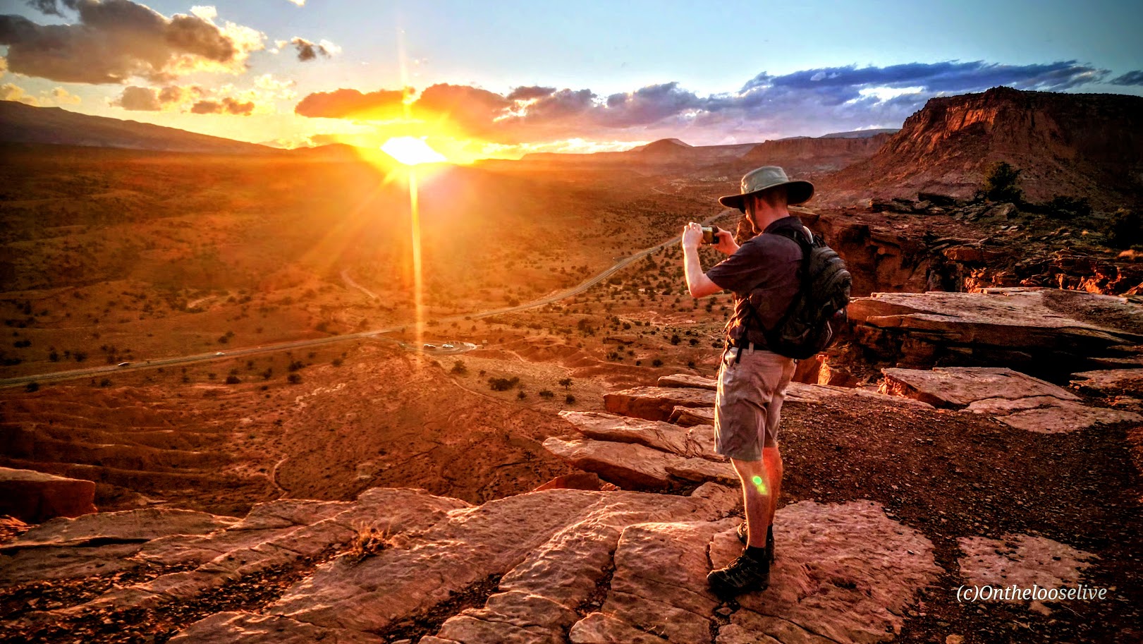
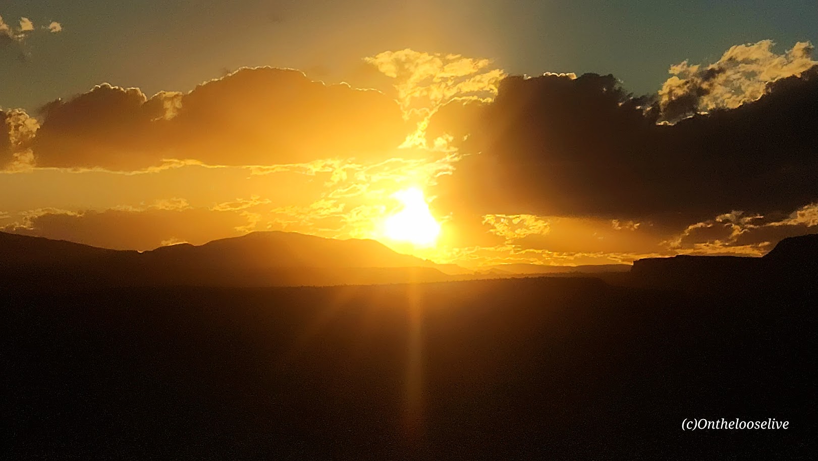
If you’re rolling into Capitol Reef at sunset or wrapping up a day of hiking but still have some energy left, the Chimney Rock Trail is a short, sweet hike that offers stunning panoramic sunset views. If you’re really short on time, you can take the official sunset “hike” in the park, Sunset Point Overlook—an easy half-mile trail that offers similar breathtaking vistas.
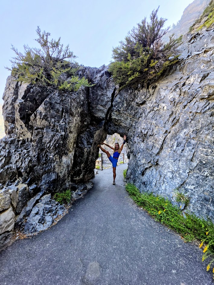
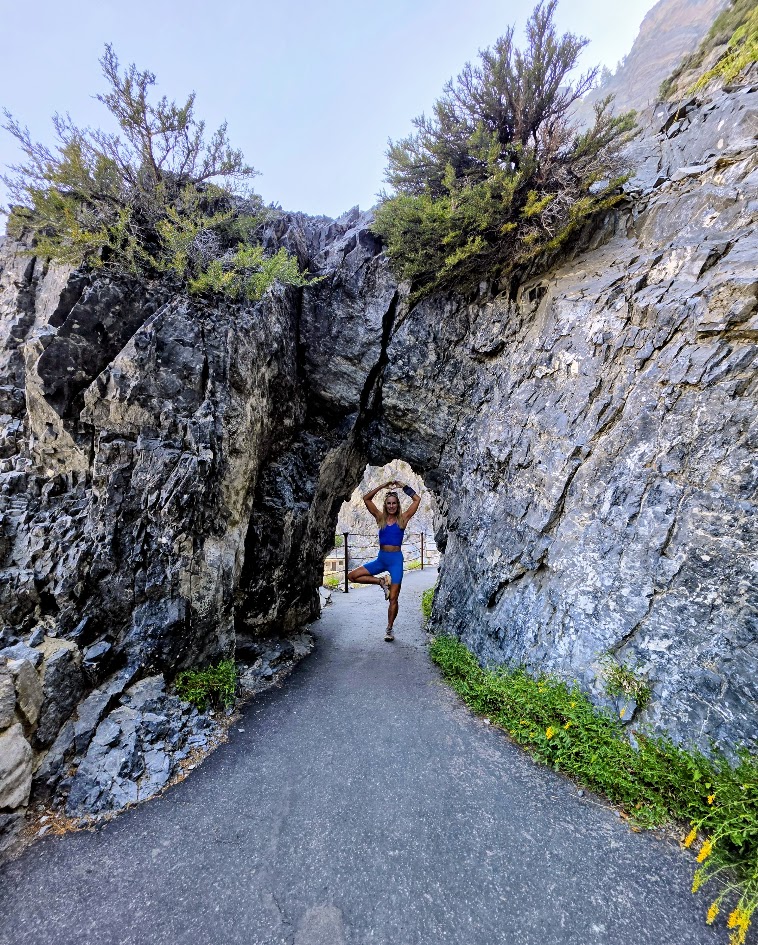
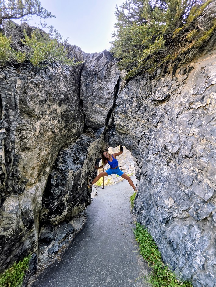
Chasing sunsets on the trails and yoga pose photobombing are two of my favorite things! What silly things do you do to express your exuberance in the wild?