Distance: ~9 miles
Elevation: ~2,900 ft
Gardner Peak Elevation: 9,488ft
Difficulty: Moderate to hard, depending on your fitness level and route-finding skills
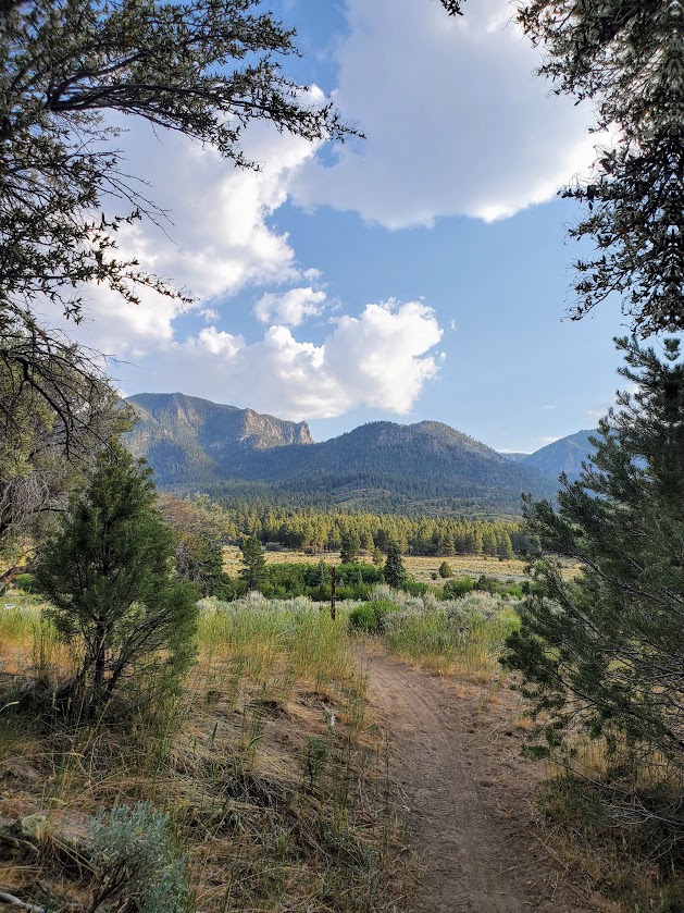
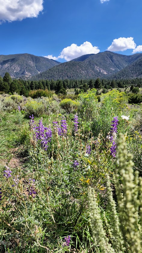
Highlights: Forest, meadow, wildflowers, rock gardens, peaks with panoramic views
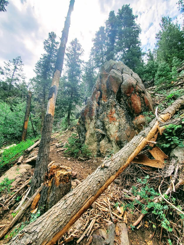
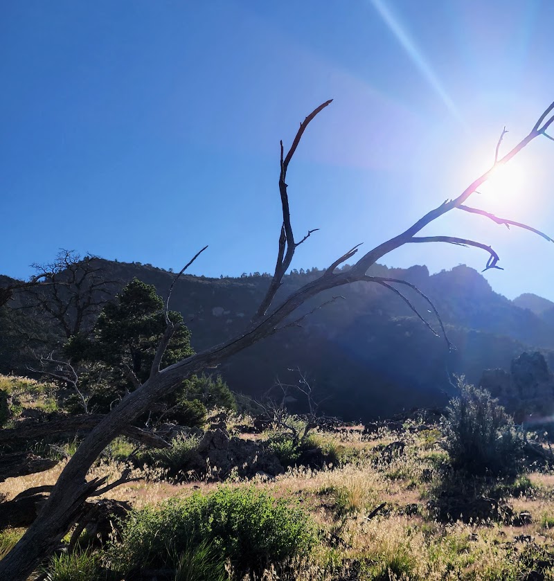
Terrain: At times sandy, rocky, sooty, deadfall hopping, and scrambly fun
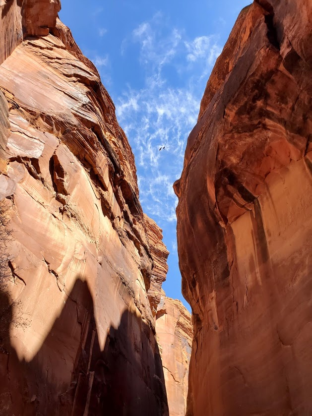
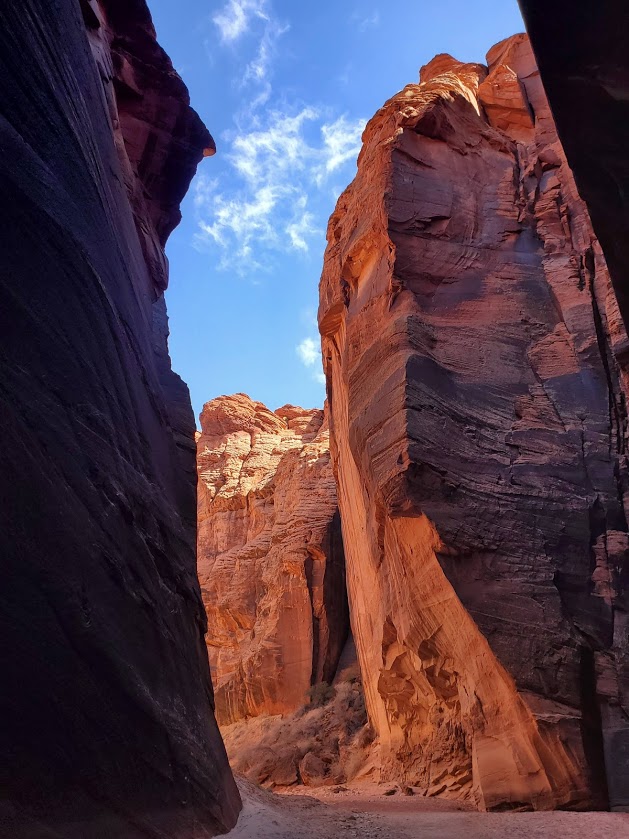
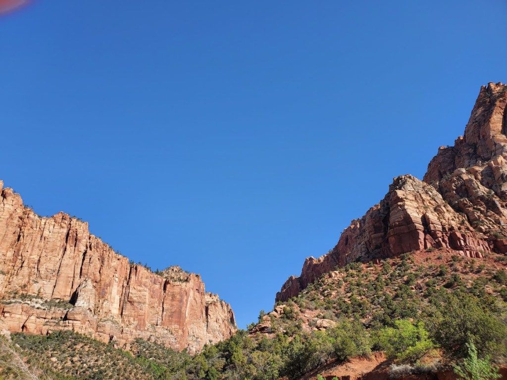
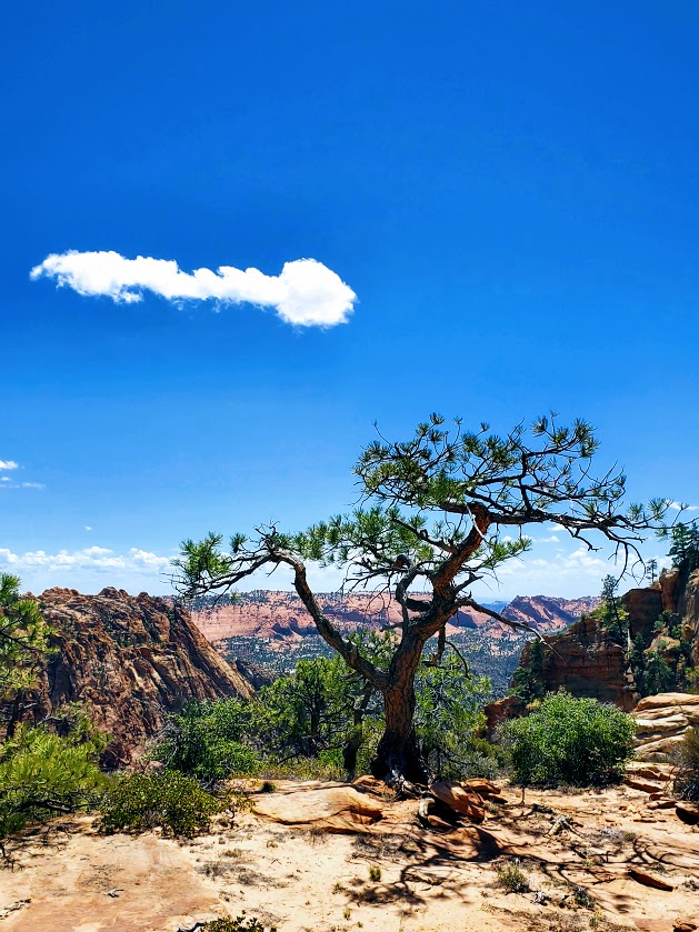
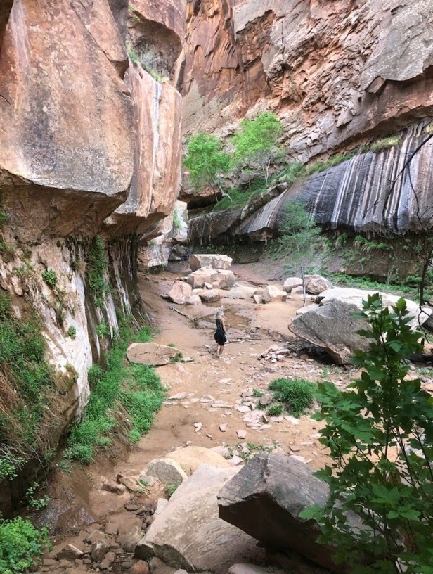
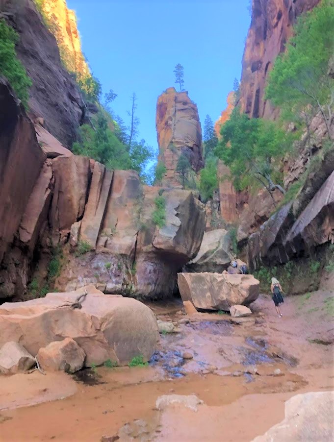
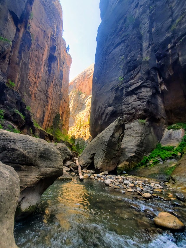
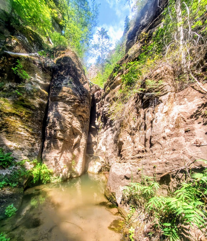
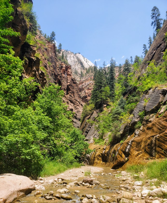
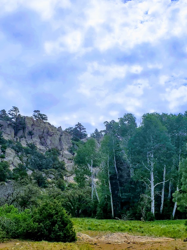
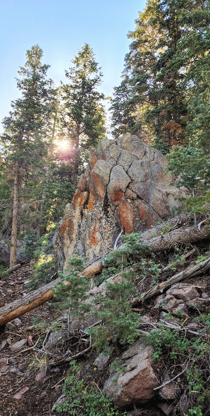
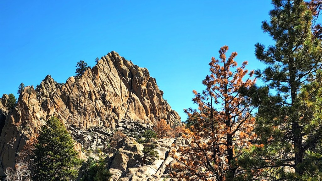
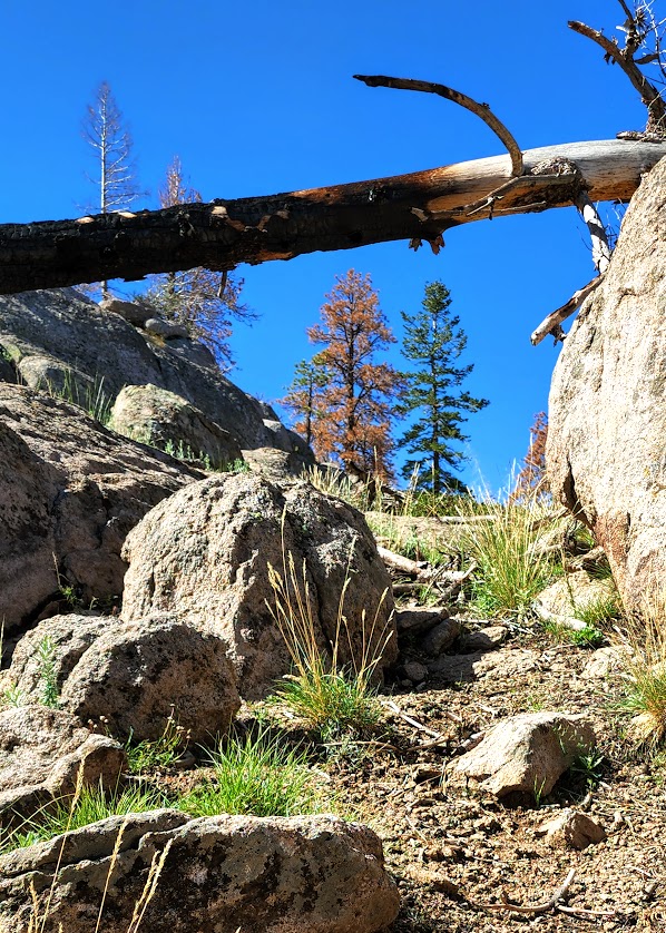
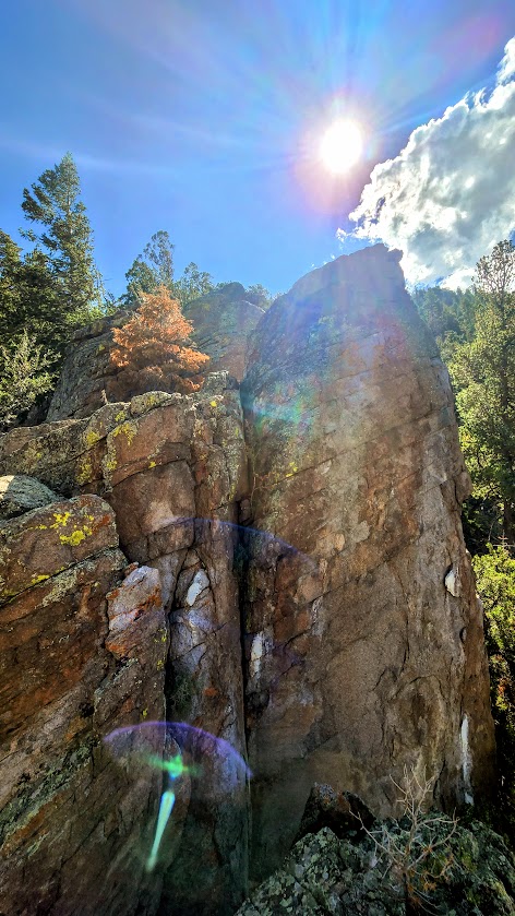
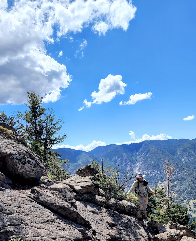
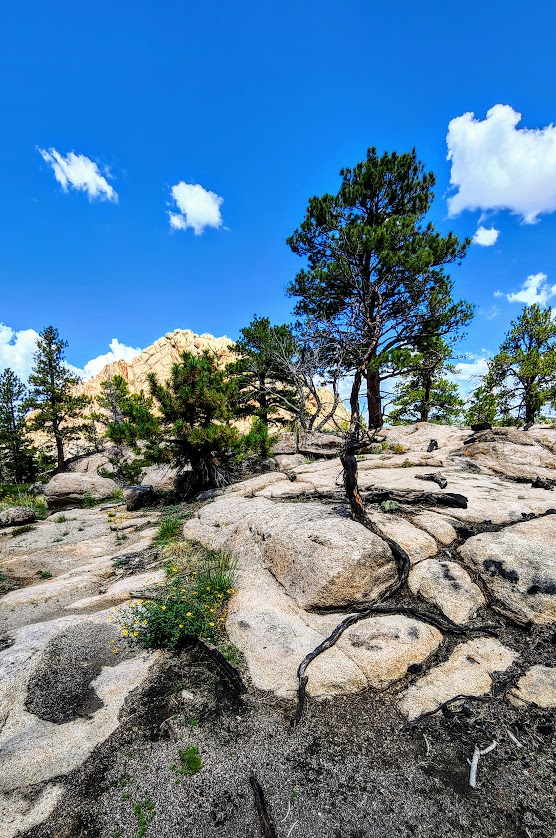
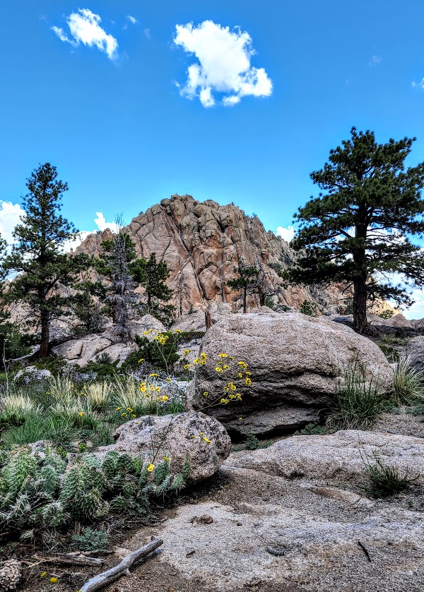
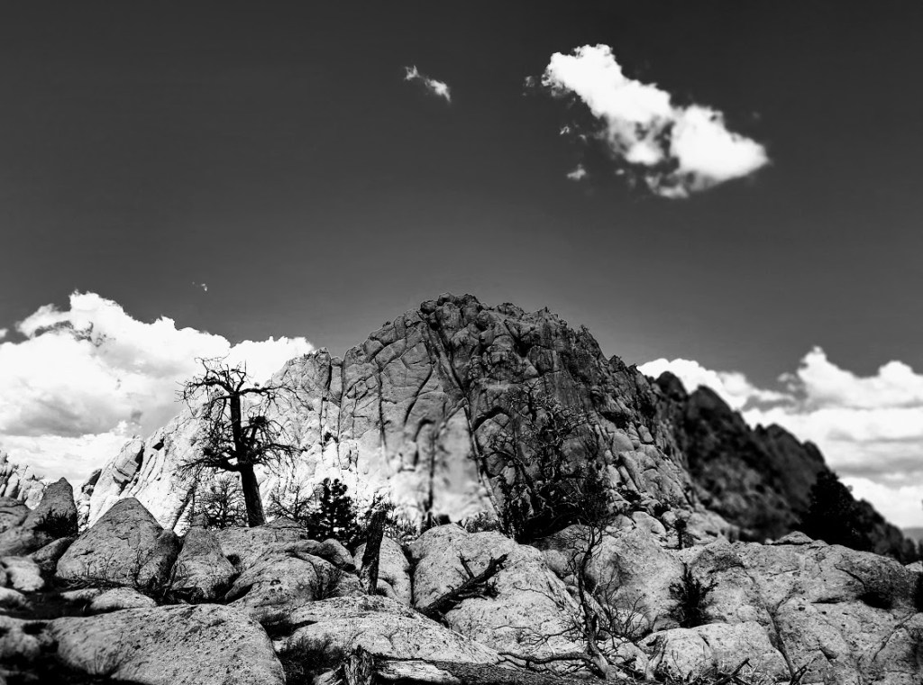
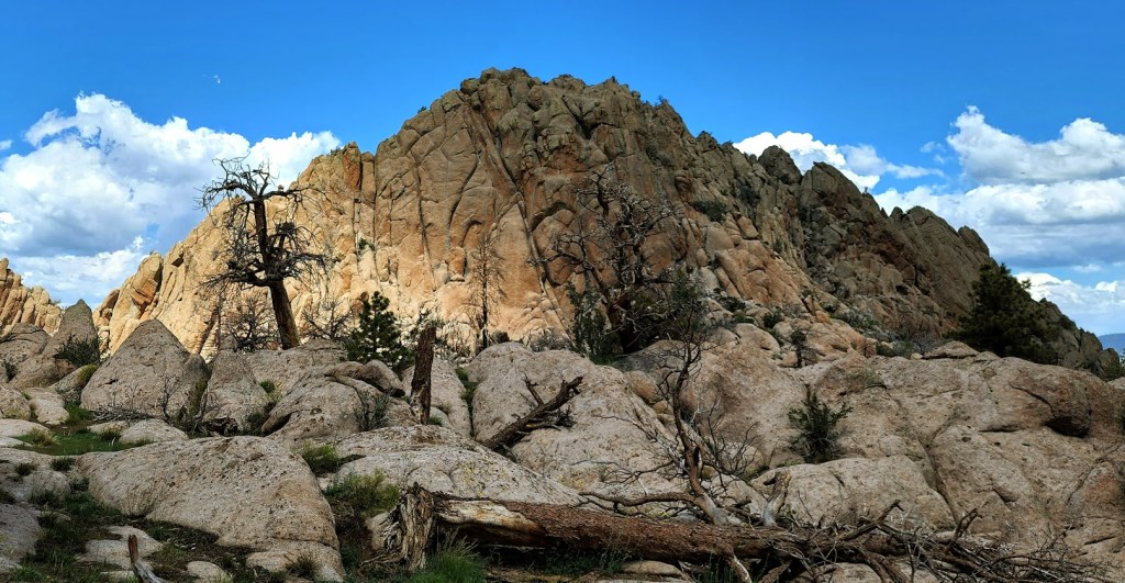
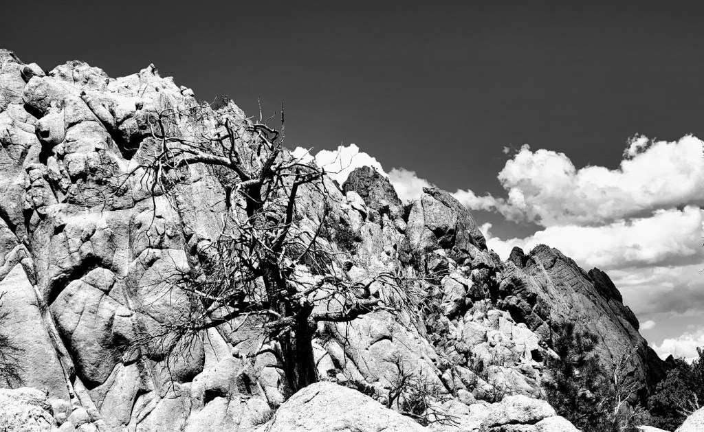
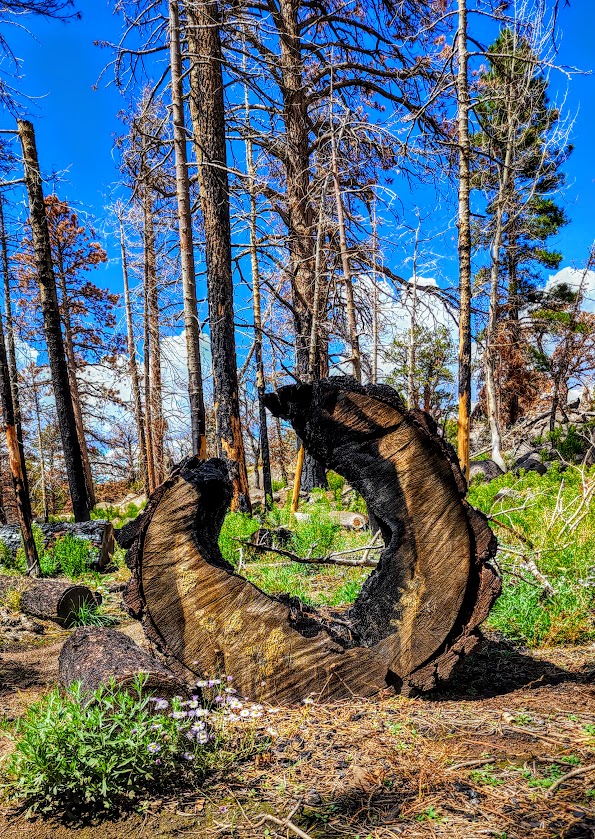
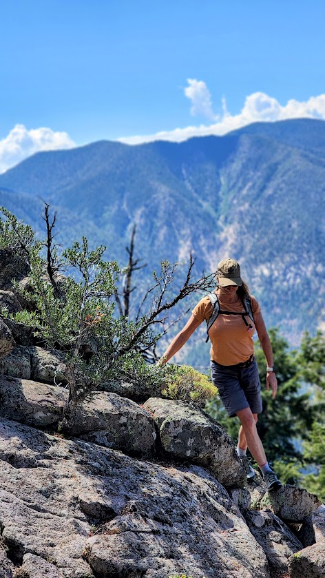
I found the Gardner Peak Trail in Pine Valley quite grand. Indeed, it may be my new favorite Pine Valley hike. The Gardner Peak Trail delivers on several levels—it’s varied and interesting all the way to the top. It’s a steady, but fairly gentle climb (2k) through forest, through nature’s rock gardens, through a meadow, (and a recent burn area), and on up to a couple of peaks—2 rocky and the one, eponymous, taller tree-lined Gardner. Pick a peak, any peak, and play. Plenty of grippy, rock scrambling opportunities. The panoramic views are a delightful reward as well. The trail is easy to follow and trail run-able until you get to mile 3. After that, all bets are off. It quickly becomes a route-finding (or create your own route) obstacle -course challenge through deadfall, boulders, scratchy shrubs, and more. If you don’t have a Garmin or All Trails, you might settle for the beautiful “false peak” rock outcropping with panoramic views a I did my first time through.

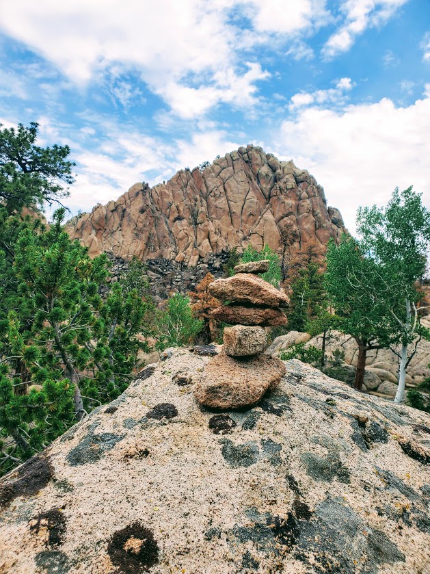


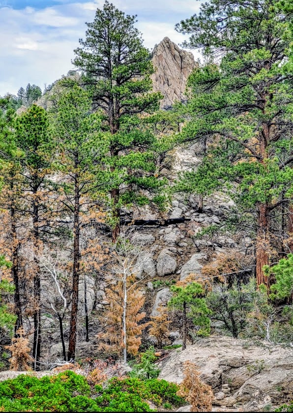


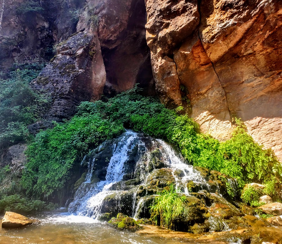
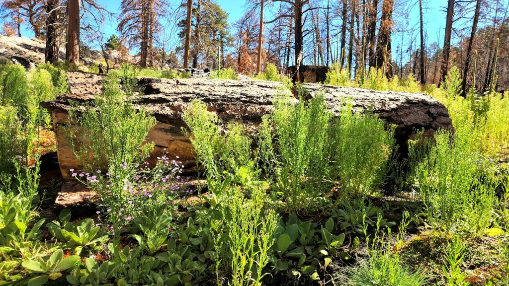
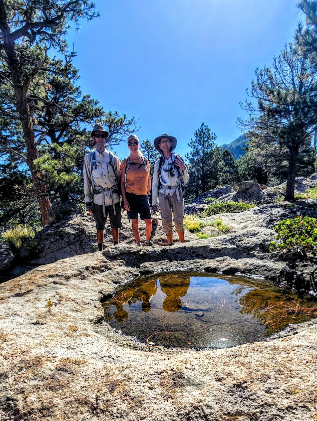
Second time is a charm of sorts. Went back to find the “real peak” —this time with my friend and extraordinary explorumentary blogger, Sue Birnbaum and her husband, who were nice enough to guide me and my friend Robin to Gardner Peak. It’s another mile or so from the false peak and about 800 feet higher. It involves some serious scrambling, deadfall and boulder obstacle course maneuvering, and some fancy footwork. Fun times for sure. (No major exposure or technical areas per se.) Would I do it again? Not so sure. There aren’t any panoramic views from the peak so when I do the hike next, I’ll be shooting for my preferred false peak – see slide show above. I did sign in to make the peak bag official. Interestingly enough, we came across another sign in “station”—one with rock mound around a encapsulated plastic container of old loose pages- – the other with an intact notebook. So I guess that makes 2 false peaks-lol. The next slide show is from my Gardner Peak take 2 . Extra bonus—lots of wildflowers from the recent rains and little Zen streams along the way. Nice to see the area green and thriving after the past fire.


Notes: If you’re going to the peak, I suggest using a GPS or the AllTrails app. Also, be sure to check out Sue’s blog for more detailed notes on this hike. Your feet and ankles might be happier in hiking boots. If you’re peak-bound, pants are recommended to spare the skin on your legs from scratches, scars, and impalement from errant branches, rocks, foreign objects – you get the idea. Mine looked like I had a brawl with a mountain lion and it won. If you have tender knees, a pole or 2 might come in handy on the descent. Dogs & horses are allowed.
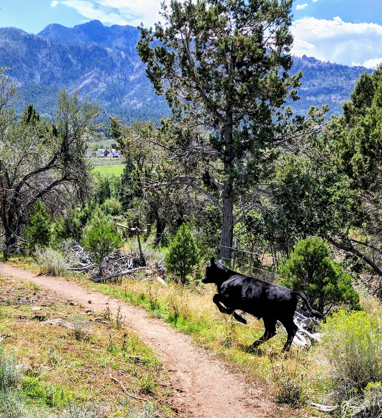
At about .75 the Gardner Peak trail connects with the Canal Trail, which is both run-able and mountain bike-able.
Check out these other Pine Valley hikes:
Happy Trails!