Wire Pass to Buckskin Gulch, Nature’s Cathedral

Distance: You choose: 1.7 to Buckskin Gulch, 6 miles to Buckskin Gulch Trailhead, 13 miles to Paria Canyon

Difficulty: Easy

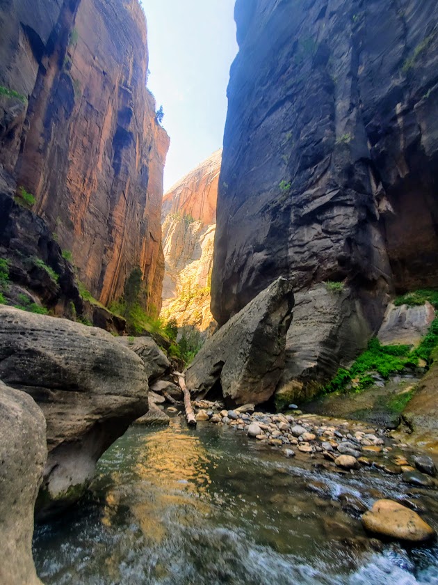
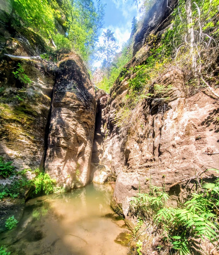
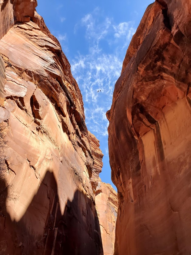
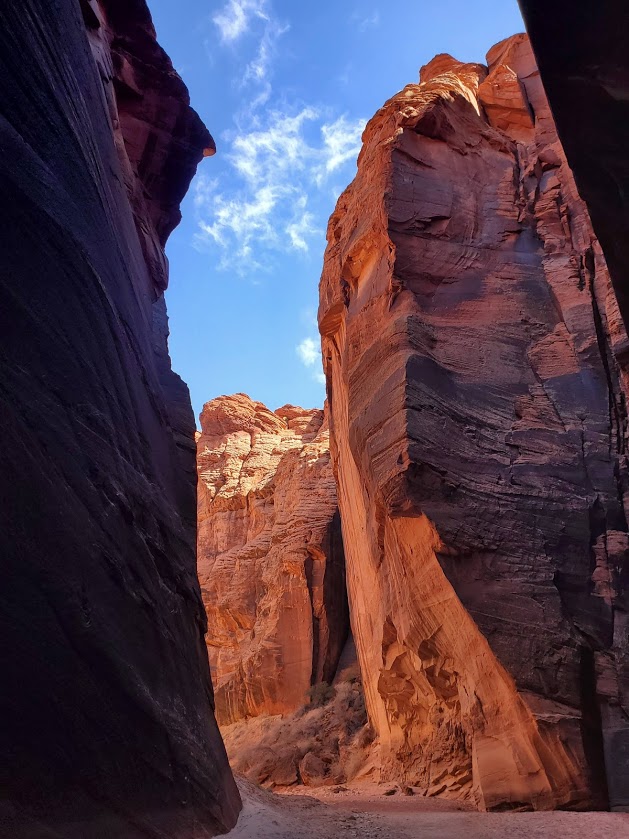
At over 13 miles long, Buckskin Gulch is the longest and deepest slot canyon in the Southwestern United States. It’s speculated that it may be the longest slot canyon in the world.

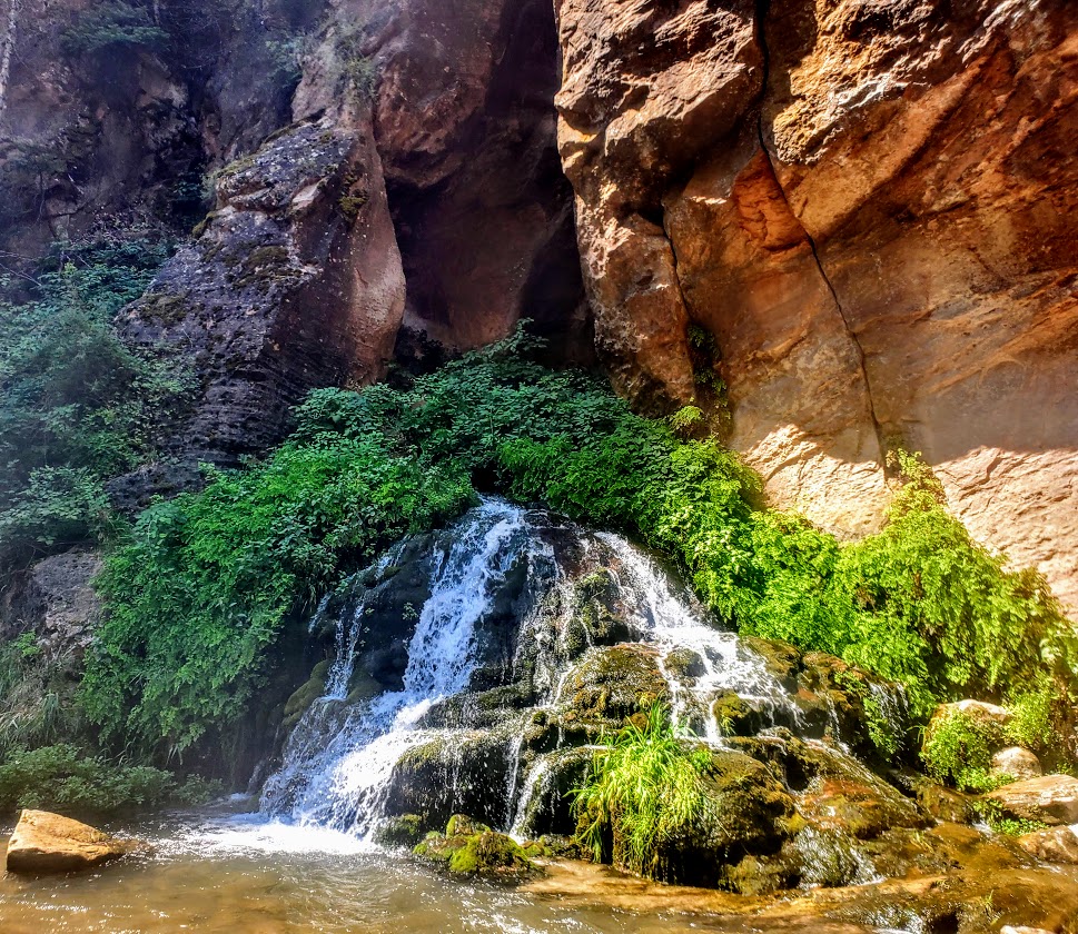
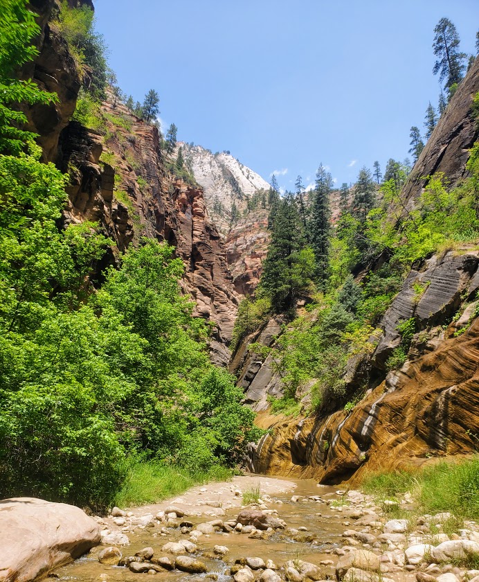
The first section from the parking lot at Wire Pass is 1.7 miles through a sandy, exposed wash to entrance of Buckskin Gulch. Entering the Gulch is like entering a cathedral, you’ll be engulfed and awed by its massive scale. You may find yourself whispering in reverence as you would in a church or a library. Experiencing this amazing slot canyon in silent solitude is superb. (Unfortunately, only possible for the earliest of birds.) Petroglyph and hand print panels are a highlight as well.

I explored 5.5 miles out. You’ll lose the crowds a couple of miles in, but there’s no avoiding them on the way back.

Notes: Go early to avoid the crowds and the heat. Be weather aware- this is a flash flood area. Permit and $6 fee per adult required. Click here to obtain your required permit. Dogs are allowed, but not encouraged. There is a ladder inside the gulch that dogs must be carried up and down. Slot canyon passageways are narrow, close quarters—not the place for pets or people to relieve themselves or dogs to encounter each other. If you’re claustrophobic there are a couple spots that may trigger you.

Soapbox: So very disappointing to see petroglyph areas defaced and to see children in the act of it under the approving gaze of their parents. I reprimanded both sets of parents and children that I saw. I don’t understand it. Also, and always, disappointing, people not picking up after their pets. There should be fines for them as well. If fines were enforced, we could solve two problems–end the defacing (and the remains of defecating) and fund our park and wilderness areas. There need to be more signs up so that people can’t plead ignorance. Perhaps setting aside an “artificial” area for children to create their own petroglyphs would be an idea, but how likely is it that they will stay within those boundaries?

Getting there: Take UT-59S, AZ-389 E and US-89 S to House Rock Valley Road for 8.4 off road, rocky miles to the Wire Pass parking lot and trailhead

To Happier Trails!

Zion Narrows, Widely Populated, and Dare I Say, Overhyped

Distance: ~10 miles RT

Difficulty: First and last 1.7 miles is on flat pavement–easy. After that–hard, due to icy water immersion (from ankle deep to hip deep) and treacherous footing over slippery rocks. Water is so murky that you must use your hiking stick / poles every step of the way.

Fortunately, my friend and I were of the first few to step our feet into the icy waters of the Narrows that morning so we were able to soak in its beauty in solitude. Unfortunately, on the way back, the multitudes had arrived—unruly mobs descending on a magnificent citadel destroying all vestiges of a nature’s magnificence.

The waterfall in the feature picture above is the official turning around point for the Narrows. If you wish to add on a nice side trip on the way there, on the way back, or as an alternative, check out Orderville Canyon. It’s the right fork at about the 2.5 mile mark. It’s much greener, and in my opinion, prettier than the Narrows itself. Unfortunately, my bettery dies so I wasn’t able to take any pictures there. Guess, I’ll have to return. Orderville Canyon is also a bit less traveled, which in my book, is always a win

Yes, the Narrows is cool, but in my opinion, over-hyped. I’m so fortunate to be discovering so many equally or more beautiful, less-populated spots all over Utah. Zion National Park’s inability and/ or unwillingness to minimize crowds is discouraging and certainly offputting.

There is a 17-mile top-down challenging route that requires canyoneering and some swimming, likely it rules out the masses, but there’s no avoiding them for your final 5 miles when you’re most likely to be a bit hangry anyway… I’ll let you know if and when

Soapbox: In my opinion, ZNP needs to permit this hike ASAP to preserve the area from the irreversible impact of the HORDS of HUMANS and enhance visitor experience. They do it for the Subway and it works well. Never felt overwhelmed there, but the Narrows felt like being in a city subway. Perhaps they should flip the names.

Notes: Water temperature ranges from 40 to 60 degrees. In the fall, winter and spring, dry gear is recommended. (My first time was inMarch and I froze. Came back in July and was fine in shorts.) Rent info: https://www.zionguru.com/narrows-rental-equipment  Hiking sticks/poles are a necessity. Go early to avoid the crowds as much as possible.

Another Scenic Delight Near St. George: Snow Canyon State Park

Spent a lovely morning exploring this spectacularly scenic Snow Canyon State Park near St. George, Utah.  With dramatic, diverse scenery everywhere you turn, this park does not disappoint. If this epic landscape seems vaguely familiar, it’s because it was the backdrop for Butch Cassidy and the Sundance Kid, The Electric Horseman, and Jeremiah Johnson..

This 7,400 acre park has everything from black lava flows with tubes that you can crawl into to red rock and sandstone cliffs that you can scramble up. Here you’ll find 38 miles of hiking trails, a 3 mile paved trail, technical climbing (170 designated sport routes) and ~15 miles of  equestrian trails. If that’s not enough for ya, there’s some mountain biking and road biking with great climbs here too. Oh, and there’s also a  33 unit campground.

wildflowers black lava red cliffs Snow Canyon
Wildflowers, black lava rocks, and stunning red cliff vistas

snow canyon stream
Photo Credit: Ken Wells captured this spot much better than I did.

Snow canyon vastnessSnow Canyon red mtnsScenic snow canyon

Lava Tube Snow Canyon
Into the lava tubes

Snow canyon textures
Amazing textures

L Tree pose
On top of the world in Snow Canyon

dancer attempt pose
My attempt at dancer pose – a long way to go, I know

black lava rock and white mtn
Black lava rocks, desert vegetation, and white sandstone cliffs – oh my!

The park is actually inside of the 62k acre Red Cliffs Desert Reserve that I romped around on my first day in town. Note, these areas are all exposed so not recommended in the summer heat. Be sure to bring water, sunscreen, and a hat.

I just had time for a quick stroll as I’d already visited Gunlock State Park earlier in the morning and still had more sights to see and things to do. (Mountain bike ride planned for the afternoon.) The trail I took by the lava flows was more suited to a stroll versus hiking at pace or trail running due to the sharp rocks. Not sure if all the trails in the park are like this, or if it’s just near the lava flows. If you’ve been here and hiked around let me know. Otherwise, I’ll update on my next trip to St, George.

You know me, trying to pack as much into my short Utah road trip as possible.