Distance: ~10 miles RT
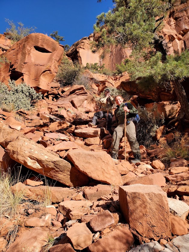
Difficulty: First and last 1.7 miles is on flat pavement–easy. After that–hard, due to icy water immersion (from ankle deep to hip deep) and treacherous footing over slippery rocks. Water is so murky that you must use your hiking stick / poles every step of the way.
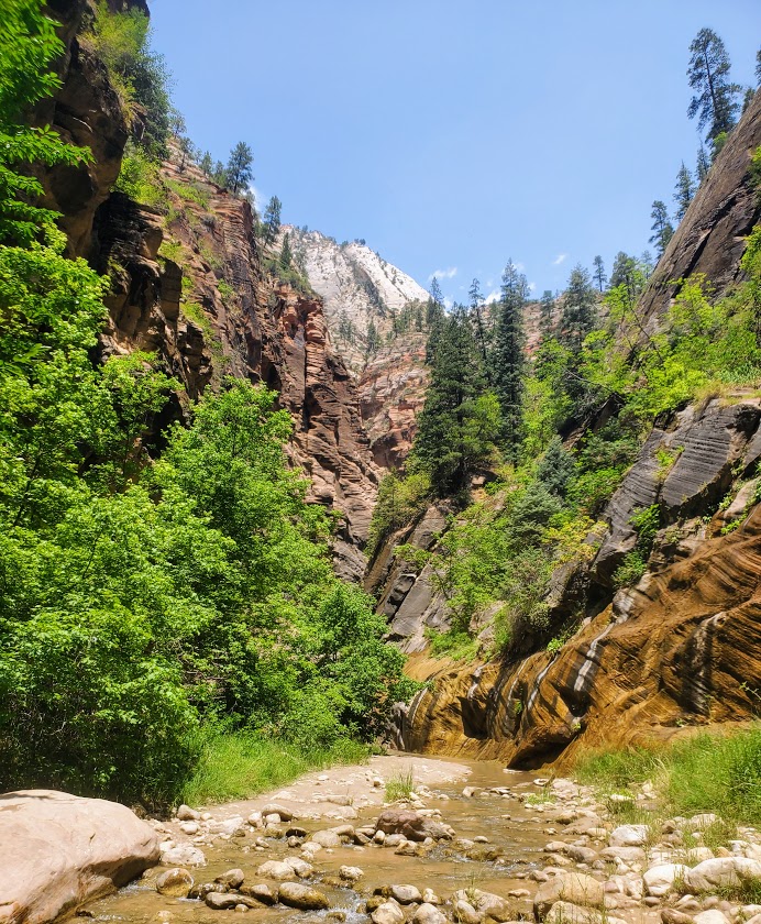
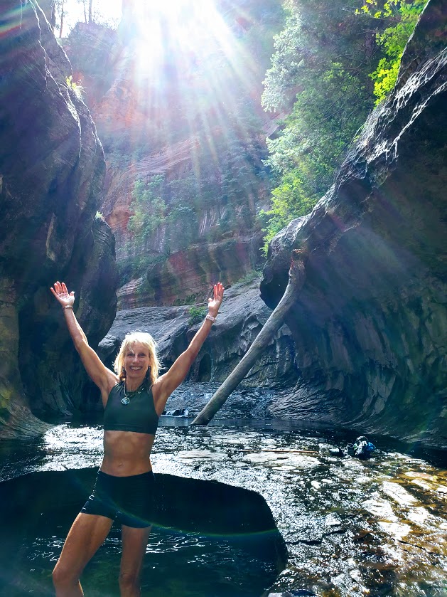
Fortunately, my friend and I were of the first few to step our feet into the icy waters of the Narrows that morning so we were able to soak in its beauty in solitude. Unfortunately, on the way back, the multitudes had arrived—unruly mobs descending on a magnificent citadel destroying all vestiges of a nature’s magnificence.
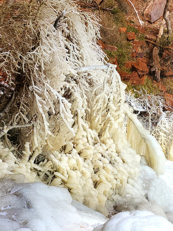
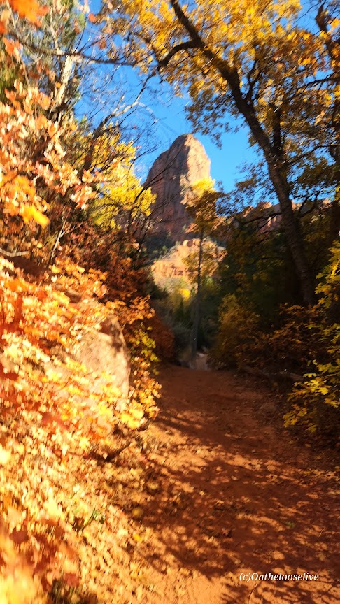
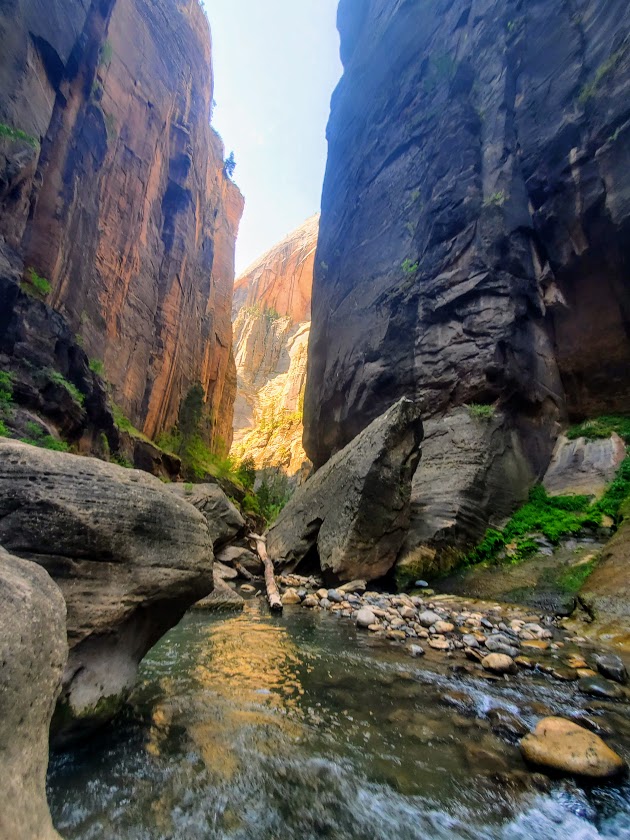
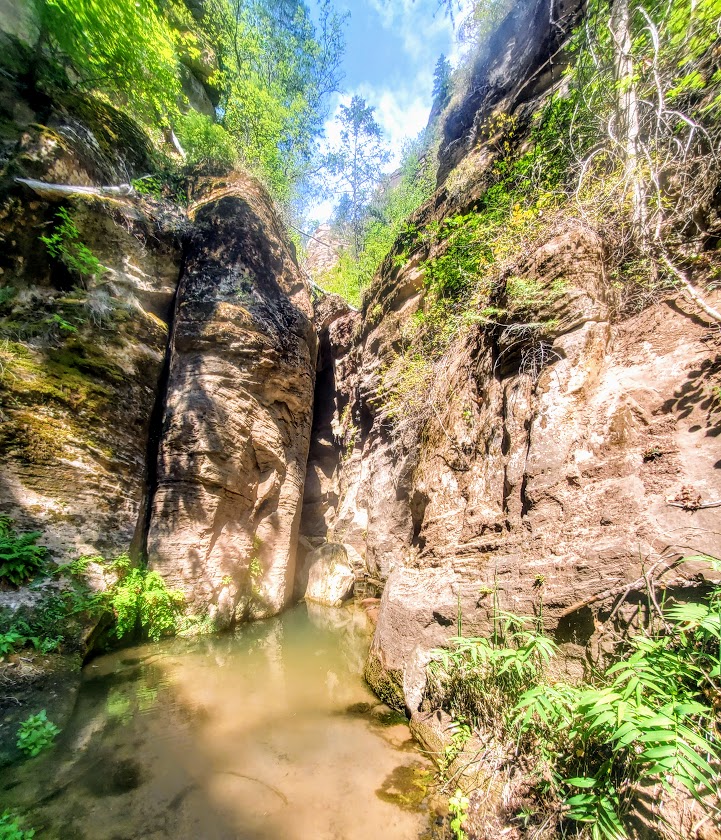
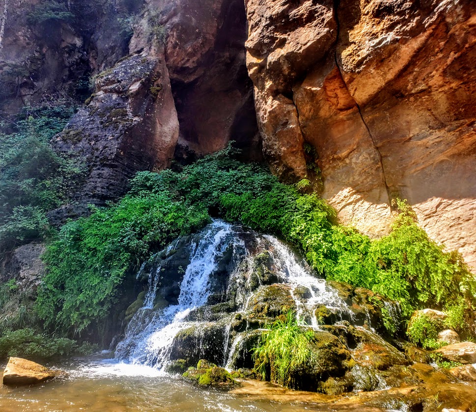
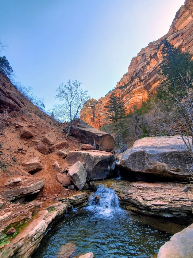
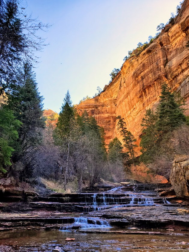
The waterfall in the feature picture above is the official turning around point for the Narrows. If you wish to add on a nice side trip on the way there, on the way back, or as an alternative, check out Orderville Canyon. It’s the right fork at about the 2.5 mile mark. It’s much greener, and in my opinion, prettier than the Narrows itself. Unfortunately, my bettery dies so I wasn’t able to take any pictures there. Guess, I’ll have to return. Orderville Canyon is also a bit less traveled, which in my book, is always a win
Yes, the Narrows is cool, but in my opinion, over-hyped. I’m so fortunate to be discovering so many equally or more beautiful, less-populated spots all over Utah. Zion National Park’s inability and/ or unwillingness to minimize crowds is discouraging and certainly offputting.
There is a 17-mile top-down challenging route that requires canyoneering and some swimming, likely it rules out the masses, but there’s no avoiding them for your final 5 miles when you’re most likely to be a bit hangry anyway… I’ll let you know if and when
Soapbox: In my opinion, ZNP needs to permit this hike ASAP to preserve the area from the irreversible impact of the HORDS of HUMANS and enhance visitor experience. They do it for the Subway and it works well. Never felt overwhelmed there, but the Narrows felt like being in a city subway. Perhaps they should flip the names.
Notes: Water temperature ranges from 40 to 60 degrees. In the fall, winter and spring, dry gear is recommended. (My first time was inMarch and I froze. Came back in July and was fine in shorts.) Rent info: https://www.zionguru.com/narrows-rental-equipment Hiking sticks/poles are a necessity. Go early to avoid the crowds as much as possible.