Short, Steep, and Sweet: Ridge Lakes Trail, A Glimpse Into Lassen Volcanic National Park’s Former Splendor

Distance: 2 miles RT

Elevation gain: ~1k ft climb ( ~7k to 8k ft)

Difficulty: Moderate+, depending on your fitness level and sensitivity to altitude

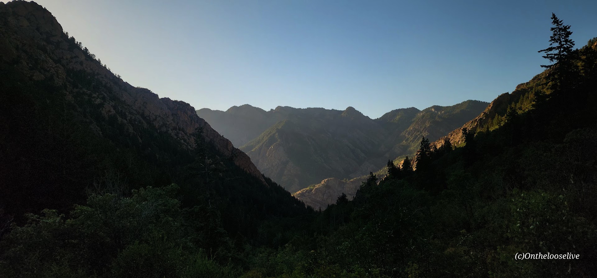
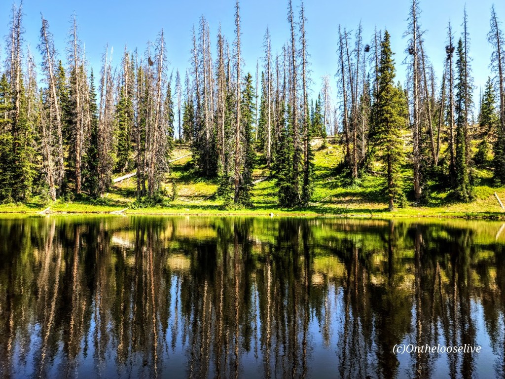
As you drive and hike around Lassen Volcanic National Park, one of the first things you’ll notice is the extensive devastation from the Dixie Wildfire that occurred in 2021 and burned 73,240 acres of the park in 3 months (August through October)—the largest fire in the park’s history and the largest single fire in California history (963,309 acres). While Nature’s resilience is on display in terms of seedlings and new growth, it’s clear four years later that full recovery will take many decades.

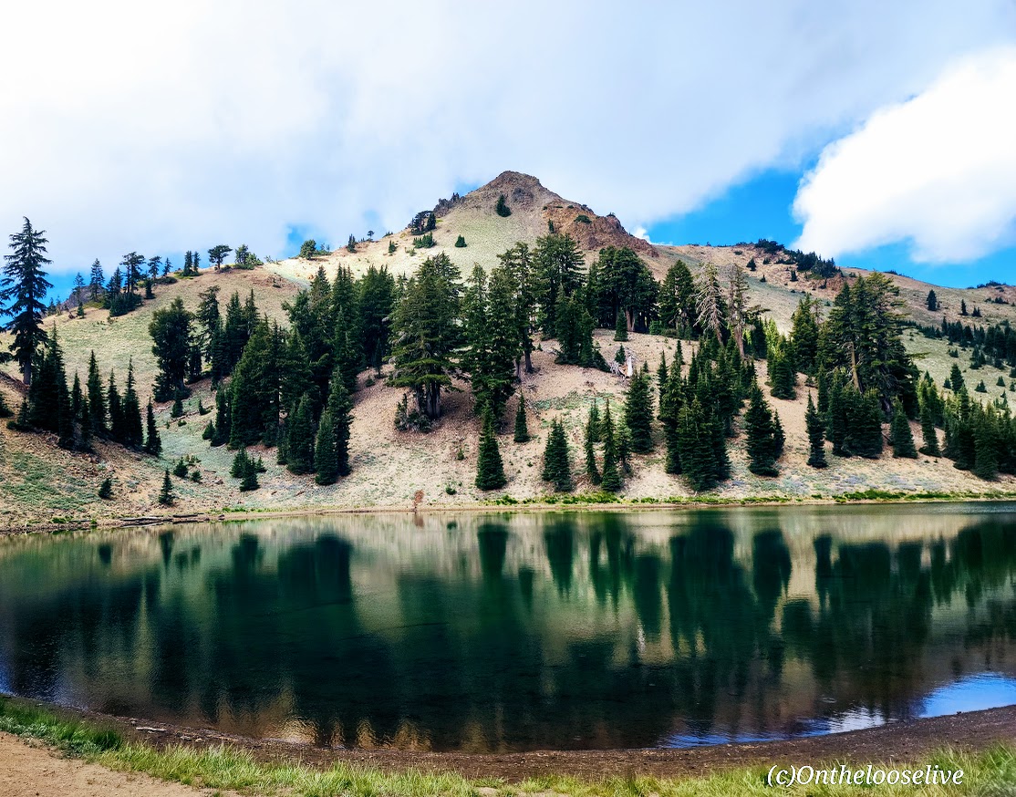
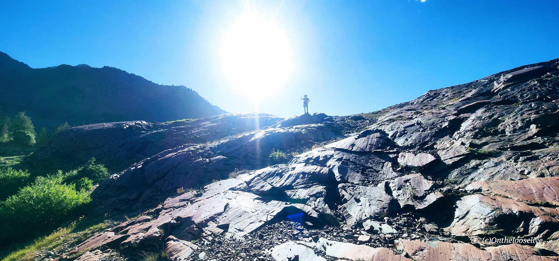
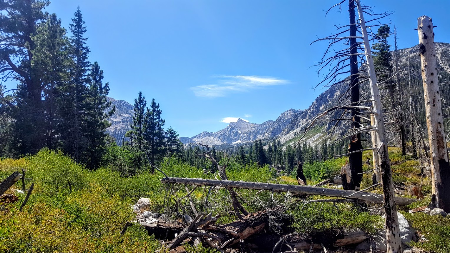
It’s hard to imagine what the park once looked like, but fortunately, a few untouched areas still offer us a glimpse into its former splendor. The Ridge Lakes Trail is one of them. This short (2 miles), steep (1k in 1 mile) hike is an idyllic little slice of paradise and a window into what Lassen Volcanic National Park must have been like before the fire.

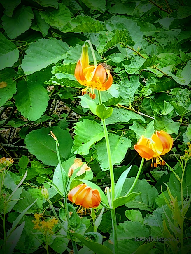
This was my morning “warm-up” hike before tackling Lassen Peak (post to come). The lovely single-track trail winds up through ferns, grasses, and wildflowers (Indian Paintbrush, Lupine) to two (it seems more like 1, as they’re connected) small alpine lakes cradled in a pristine basin with Brokeoff Mountain and Mount Diller as the scenic backdrop.

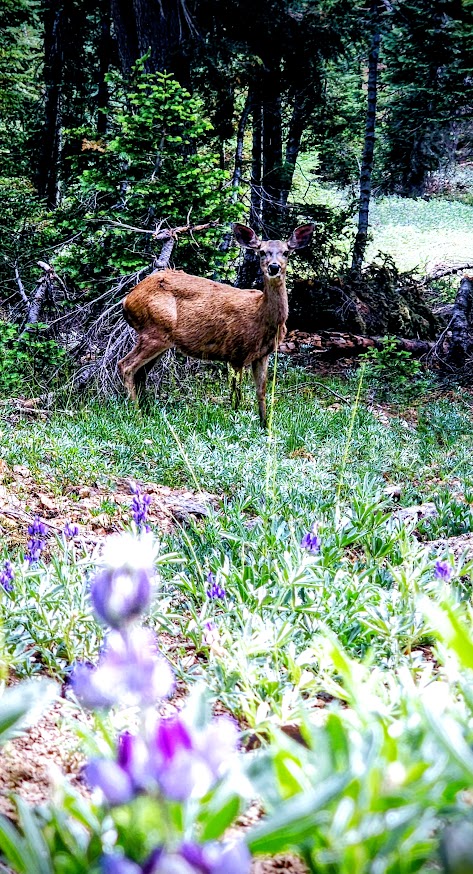
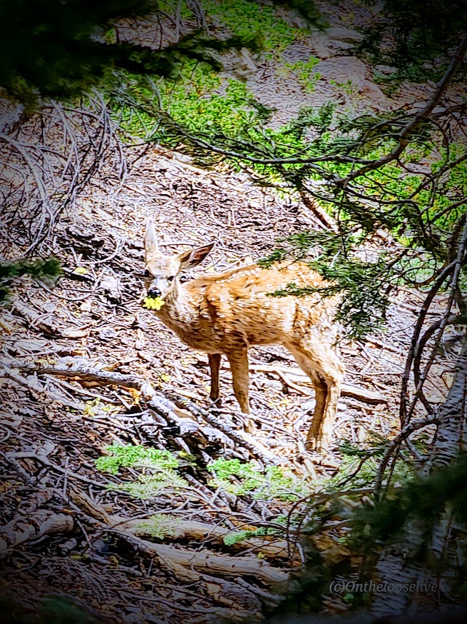
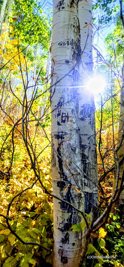
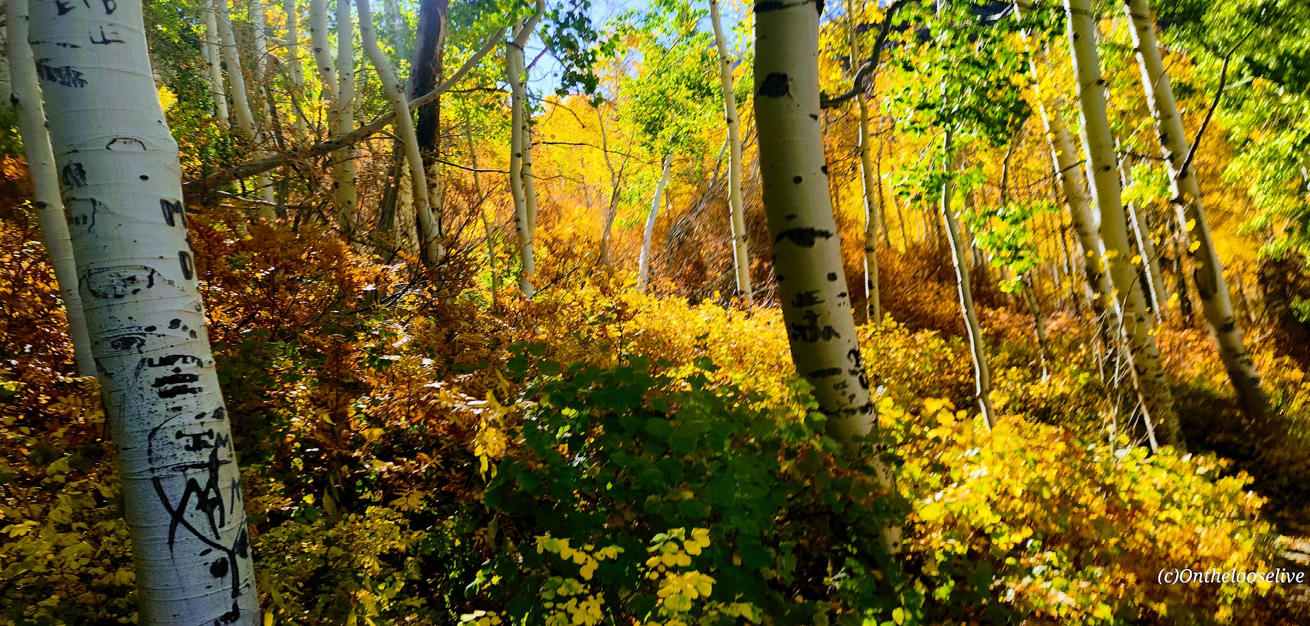
I had the hike all to myself (except for a Doe and her fawn), and as you can see, I thoroughly enjoyed my photo safari here. If you’re heading to Lassen Volcanic National Park, I’d put this one on your short list (pun intended).

Getting there: The trailhead is at the Sulphur Works parking area (1.1 miles past the southwest entrance). 

Happy Trails!

Lovely Lake Blanche, Twin Peaks Wilderness Area, Salt Lake County, UT

Distance: ~7 Miles

Elevation Gain: ~2,800 FT (Evenly distributed across the 3.5 miles.)

Difficulty: Moderate +/-, depending upon your fitness level

Known as one of the best hikes in the Twin Peaks Wilderness Area, Lovely Lake Blanche, with its dramatic granite spire backdrop (Sundial Peak), has an allure of its own. Hence, its well-documented, high-profile social media status and popularity.

Begin your hike along the rushing creek on your left and make your first right onto the Lake Blanche Trail. The climb is gradual and consistent, with colorful foliage (in the Fall) and peak-a-boo, foreshadowing views of Sundial Peak up ahead and down the canyon to the Great Salt Lake Valley to the West. I kept waiting for the climb to get steeper as I’d read reports that this hike was “challenging.” Perhaps I was just transfixed by the scenery, as you’ll see why.

Lake Blanche and its smaller sister lakes, Florence and Lillian, sit at 8,888 feet. The lakes were a bit low but still high on the beauty scale. While it’s a popular hike, there’s plenty of room to find your zen once you reach the lakes. Just keep strolling past Lake Blanche, where most people seem to congregate.

There’s an off-trail hike up Sundial Peak; I’ll have to try it next. Unfortunately, I didn’t have time this time.

I revisited in late July and just missed the wildflowers! Must go earlier next year. This time, I was running short on daylight, so off-trail exploration is still to come.

Directions: Take Big Cottonwood Canyon Road to the Mill B South Fork Trailhead. The parking lot fills FAST as in FULL at 7 AM on a Saturday.) Parking is allowed along the road, but that fills quickly, too!

Notes: Unfortunately, dogs and swimming aren’t allowed due to the area being a protected watershed.

Happy Trails!

Crystal Lake Trail: Gateway to a Multitude of Alpine Lakes and Ponds, Kamas, UT

If you like alpine lakes and friendly trails, you’ll have plenty to choose from, starting at the Crystal Lake Trail and hiking in virtually any direction. Forget peak bagging for the day and enjoy some lake hopping instead. This area wins my record for most lakes and ponds in the least mileage. The more miles you cover, the more lakes and ponds you’ll see in this dazzling area of the Western Unitas. I combined 2 loops going in opposite directions and visited a mind-blowing 32 lakes and ponds in 15 miles—yep, that’s a whopping 2 sparkling lakes per mile. (But whose counting? LOL, the Garmin, thank goodness, as I lost track!) Despite the parking lots being jam-packed, surprisingly enough, the trails weren’t overrun. (Island Lake had the most people—big family groups.) Overall, I saw more lakes and ponds than people—now that’s a perfect scenario.

Distance: Create your own lake-hopping adventure.

Difficulty: Easy to moderate+, depending on your fitness level and altitude acclimation

Altitude: All hikes in the 10k ft range

Getting there: Milepost 25.5 off of the Mirror Lake Highway. (This highway is closed from late October through Memorial Day.)

Notes: Parking and overflow lots fill fast in peak season, especially on the weekends. There are several campsites in the area, but most require reservations. Boondocking and backpacking are options.

Sherwin Creek Trail: Awesome Hike to 2 Spectacular Lakes. Mammoth Lakes, CA.

If you like alpine lakes, sublime scenery, and trail terrain that’s gentle on feet (good for trail running too), you’ll want to spend a day here, immersed in natural bliss. I loved this hike. The lakes and mountain scenery are SPECTACULAR. It felt easy to me despite my hiking book’s rating of it as a 4 out of 5 for difficulty due to the 2,100 ft elevation gain. The trail is quite gradual with many switchbacks, but it didn’t really seem like a big climb. Maybe I just woke up strong and altitude acclimated. The good news is the elevation gain keeps the crowds away.

peaks and timber


There was something magical about this tree. Look for it on the trail after Lake Sherwin and let me know if it stopped you in your tracks too. The pictures don’t do it justice. I named it the Medusa tree.


If you’re not up for hiking up to Valentine Lake (9,698 ft – 5.6 miles), you can always make Sherwin Lake (2-3 miles) your destination instead, but just so you know, you’ll be missing this:


Lydia Valentine lake
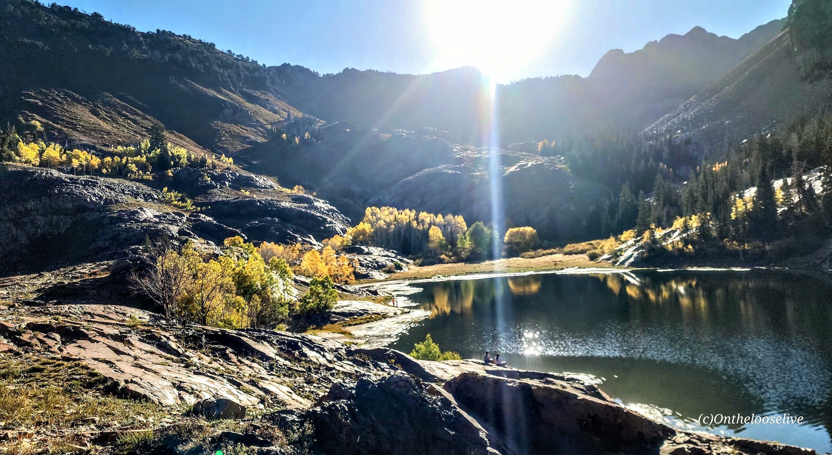
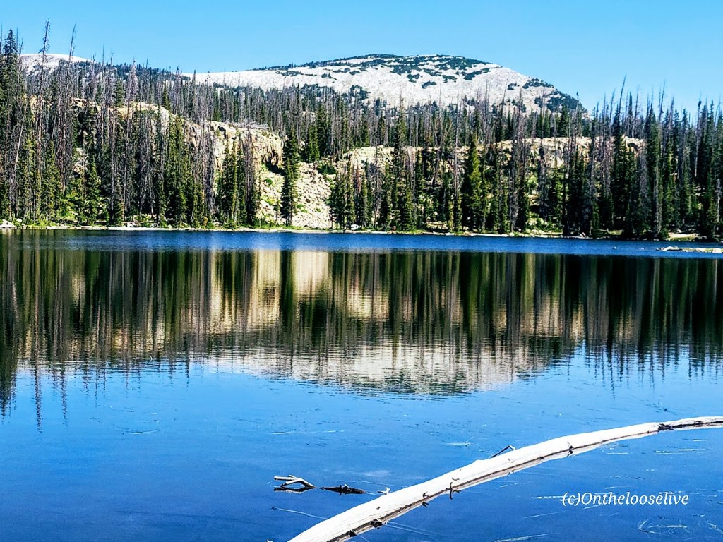
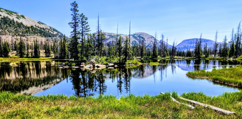
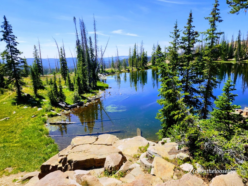
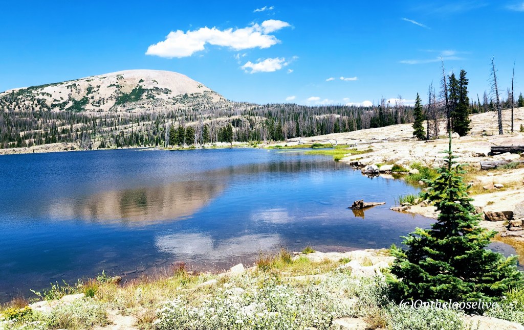
Valentine Lake, you stole my heart and nearly froze it too! I can’t resist the allure of an alpine lake, even when it’s snow melt cold. Can you?

My boyfriend was taunting me in the video below. Note: HE DID NOT JUMP IN THE LAKE. (And somehow I resisted pushing him into it.)


Distance Round Trip: 11.2 miles

Elevation Gain / Loss: 2,100

Getting There: South from Lee Vining on the 395, you’ll find Sherwin Creek Road two miles south of the Mammoth Lakes exit. Take Sherwin Creek Road west and drive ~2.5 miles and then turn left on the spur road before you reach Sherwin Creak Campground.