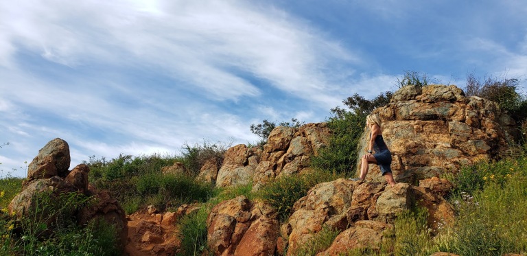
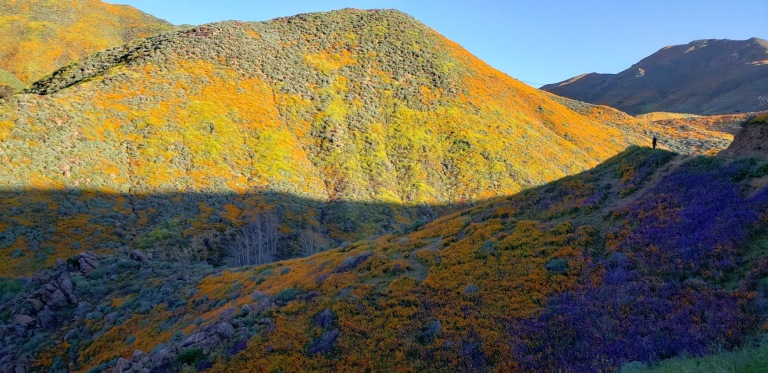
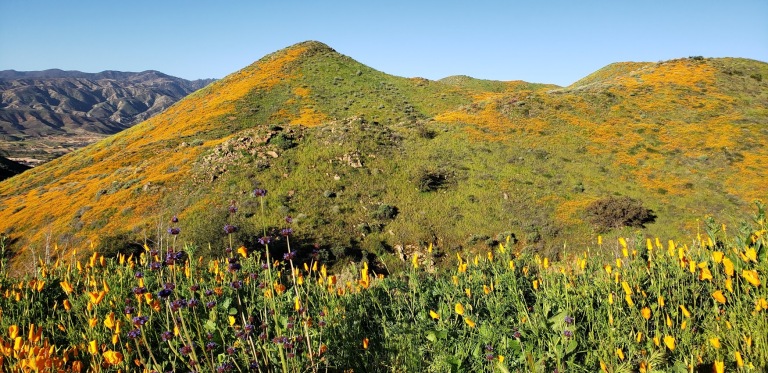
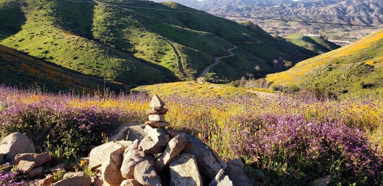
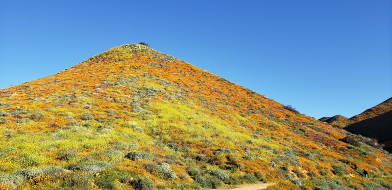
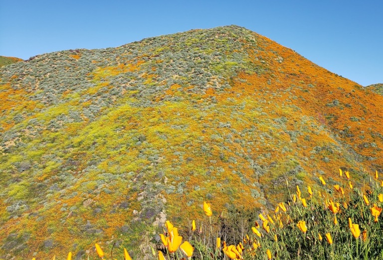
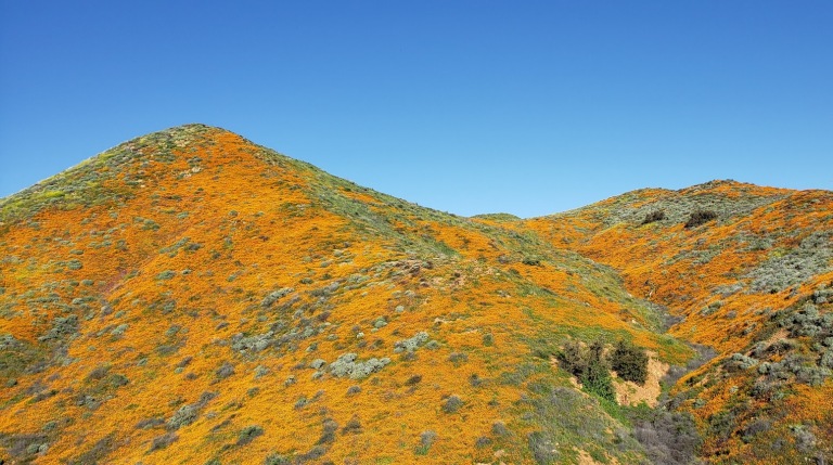
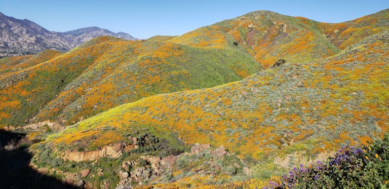
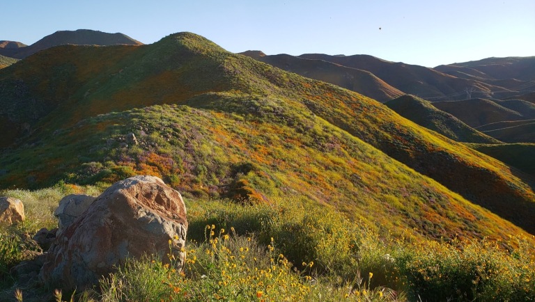
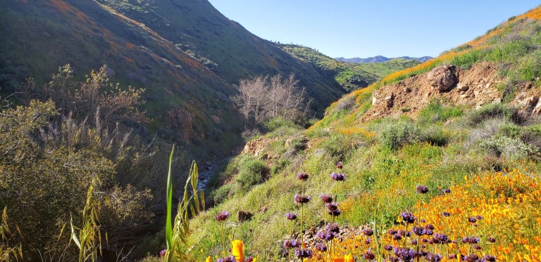
Granted, I was lucky enough to hit this hike at its most beautiful, during the spring super bloom (poppies and native wildflowers galore), but year-round, on clear days , you can enjoy lovely views of Batiquitos Lagoon and the coastline from Camp Pendleton to La Jolla.
Denk Mountain is part of Rancho La Costa, a habitat conservation area in Carlsbad made up of several non-contiguous parcels of land, including Denk Mountain and Ridgeline Trail above Box Canyon. These are some of the most rugged in the area, which make it a local mountain bikers’ favorite.
Trail notes: You have choices on this loop trail. For surer footing sake, I recommend you go up the steeper, more rugged / rocky Mule Deer Trail and come down the more moderate, less rugged Switchback Trail. The hike is completely exposed so be prepared with sunscreen, a hat and sunglasses.
Total Distance:
3.5 miles
Difficulty:
Easy to moderate – depending on your fitness level
Total Ascent
690 feet
Dogs
Leashed dogs allowed
Mt. Bikes
Bikes allowed
Facilities
None
Parking
FREE, along Corte Romero
Getting there: From the 5, take the La Costa Ave exit East and continue for 4 miles. Turn left onto Rancho Santa Fe Road and at .8 miles, turn right onto Camino Junipero, then in ~ .2 miles turn left onto Corte Romero. Park along the street. The trail head is on the right.
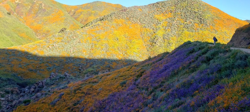
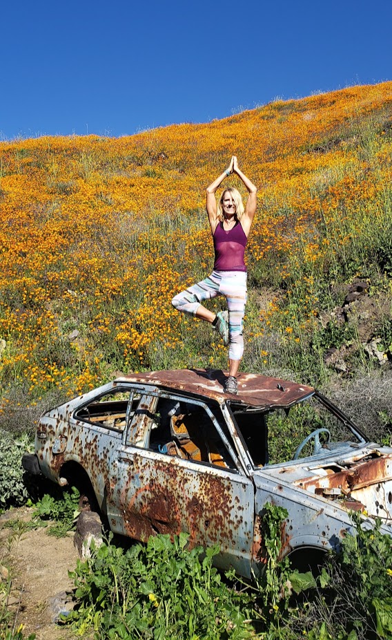
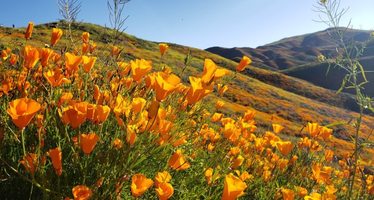
So glad I made the drive, not 1ce, but twice for this epic poppy bloom. How many times in our lifetimes does nature serve up such a spectacular treat? (Yes, I’ve experienced super blooms before, a couple years ago in Anza Borrego and way back when in Gorman, CA, but for me their magnificence never gets old.) You’ll have to pardon the abundance of pictures, I can’t help myself!
BTW, Walker Canyon is a 3.5 mile fire road out & back route in the Temescal Mountains. There’s a gradual incline, it’s perfect for trail running. The Temescal Creek flows through the bottom of the canyon. If you look closely you can see it from the trail and if you’re lucky, you might here it’s lovely musical melody too.
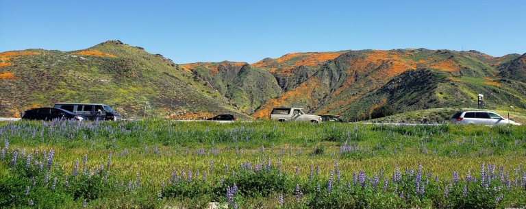
The downside of the super bloom? Too many humans, of course. Way, way too many humans and cars. They’re calling the Poppy Apocalypse and Flower Armageddon. But I am happy to see people getting outside and enjoying nature. (Not happy to see people trampling it though.)
Looking down on the Walker Canyon TrailMother Nature’s Splendid Bouquet
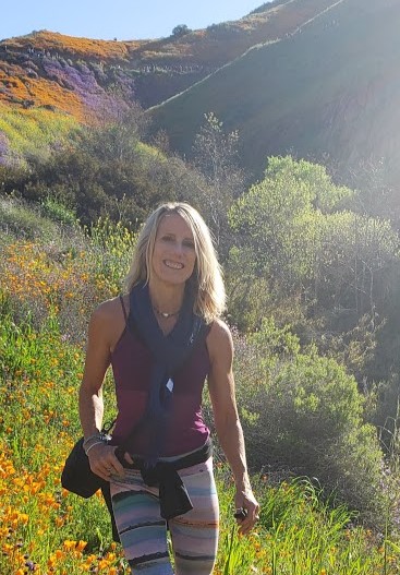
Day 2 – Spent my St. Patrick’s Day morning immersed in a flower rainbow
Yogi’s Bliss
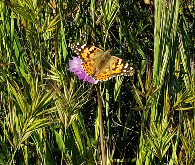
To add to the amazing spectacle, there’s a painted lady butterfly migration going on right now too!
Temescal Creek
As always, happy trails to you. Let me know which pics you like better – day 1 or 2?
Getting there: Lake Street off the 15 freeway, Lake Elsinore
Hurricane Ridge in Olympic National Park is so named because a prospector back in 1897 stood up there on a very windy day (100 mile an hour winds) and declared that it must be a hurricane. (It wasn’t, but the name stuck.) I lucked out with lovely weather the day I visited.
Hurricane Ridge is about 17 miles from Port Angeles and it’s a direct route to fun times. If you’re in the vicinity, it’s a must do.Whether you are just taking in the fantastic views, hiking, snowshoeing, skiing, snowboarding, or perhaps biking up. Yes, I said “biking up”. And yes, it’s a thing, if you’re into that kind of thing that is. With a challenging 5,242 ft ascent over 17 miles, the ride is known as one of Washington’s toughest and most scenic bike routes and what many say is one of the top cycling climbs in the U.S.. The climb averages a 5.3% grade with the steepest ½ mile at a 9.4% grade. Any takers?
It does sound intriguing though doesn’t it? I’d like to give it a go one day if my knees allow. It’s the downhill that really gives me the heebie-jeebies… I’d feel more secure on a mountain bile than road bike. A car shuttle might be an option…
In any case, whatever your activity pleasure, you’ll find the Olympic National Park a perfect playground. Get more scoop at Visitor Center at mile one and pay to play when you reach the park’s toll booth at mile 6.
I pulled off at the first opportunity for a hike and did a pleasant out and back on the Switchback Trail. As the sign indicates, there are a few options available to string together longer hikes.
I’m keeping my escapades short so I can cover more ground on my “PNW adventure sampler” tour. After driving up to the ridge to enjoy the panoramic views, I headed back down to plot my next excursion.
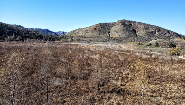
Evidence of “The Inconvenient Truth” – pictures are worth a thousand words…
A popular spot for mountain bikers and hikers, the San Dieguito River Park in Escondido is squeezed between the I15 freeway and a couple housing developments. It’s not wilderness, but it still makes for a decent, suburban excursion and nature fix.
As I mentioned in my Cruising Lake Hodges post, the main mountain bike route on the Coast-to-Crest Trail is beginner friendly. The Bernardo Summit trail is not—it’s rated difficult due to loose rocks and steep technical sections. In other words, it’s way out of my mountain bike skill league so I left it undone on my last visit, vowing to come back and hike it. Note don’t let the words summit and mountain deter you. We’re only talking about a ~1k ft in elevation gain here. But that elevation is enough to deliver views that do not disappoint.
If you’re like me and want to bypass some concrete “hiking” and walking under the freeway, you may want to start your hike at the bicycle/pedestrian bridge (the world’s longest stressed ribbon bridge) which crosses the variably wet/dry section of Lake Hodges. After traversing the bridge, take the trail to the left heading towards the Lake. Before long, you’ll hopscotch on a couple rocks across Felicita Creek, a small perennial brook, and round the bend from there. Look for the summit trail splitting off to the right (the sign for it is facing the other direction). It’s a gradual, steady climb – mild to moderate and absolutely runnable – you just need to watch your footing on the loose rock sections. (I find it easier, more fun and less painful to run up vs. down.)
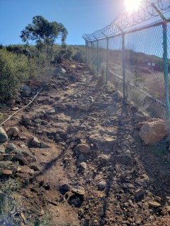
At the last and steepest section, you’ll encounter a fenced-in water tank – not very pretty, but don’t be discouraged. Your final ascent will be rewarded.
I highly recommend this hike for the best views in the park and a good workout. If you’re not up for incline, you can keep going straight along the North Shore trail to Del Dios Community Park and eventually, past the Lake Hodges Dam. Note it’s an out and back.
Hiking difficulty: Mild to moderate+ depending on your fitness level
Elevation change: ~1,000 ft
Distance: ~6.2-7.2 miles roundtrip, depending on where you start
I spent 3 incredibly fun days exploring the Prescott area and covered a fair amount of ground on foot and on bike sampling the local trails.
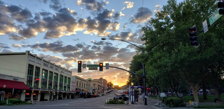
Downtown, historic Prescott, Arizona is charming, clean, friendly and fun. Lots of historic buildings, galleries, shops, restaurants, hotels and old-time saloons. I’m sure glad my road trip took me here. I had a blast exploring the area—hiking and mountain biking in the nearby Prescott National Forest by day and kicking up my heels on the saloon dance floors by night. As a solo woman traveler, I felt completely safe my entire trip. Nightlife – yes! Live music – yes! Dancing – yes!
Good night’s sleep on the “cheap” – basic, clean, quiet accommodations
Got into town late the first night and just needed a clean, quiet, safe place to stay. Here at the Rodeway Inn, I found friendly staff, a clean room, and comfy bed. Just basic was just right for that night for me. I left before the complimentary continental breakfast, but nice that they offer it.
Prescott Resort and Conference Center
Not quite on the same scale as a California “resort’, but nice enough. It certainly has stunning sunrise and sunset views across Prescott and a wonderful patio where you can enjoy them with a cocktail if you’re so inclined. The rooms were cozy, comfortable and clean and I’m guessing that most have great views too. I ate a decent, inexpensive meal in the casino and was pleasantly surprised by the quality. (The casino restaurant has daily specials so it’s worth checking out the restaurant there compared to the “resort restaurant” if you don’t care about ambiance.) I was traveling solo and had been hiking all day so it was just fine with me.
Sunset from the Prescott Resort and Conference Center Patio with Thumb Butte in the Distance
Hotel Saint Michael, Downtown/ Whiskey Row, Prescott, AZ
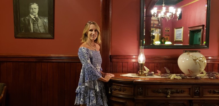
Location, location, location. On my final night in Prescott, I kicked up my heels and checked out the live music and saloon scene on Whiskey Row. If it’s a busy weekend you might need to pick your poison – some interior rooms with a super noisy generator or exterior room with rowdy crowds. Yes, the rooms and bathrooms are super dated – this is a historic (and word has it, haunted hotel – I expected that much. I didn’t expect the roar of the generator. Disclaimer, I’m a “sensitive sleeper”. But the noise was so LOUD, putting pillow over my head didn’t help. They should probably hand out earplugs here. Maybe they’re hoping you’ll come back from Whiskey Row so sloshed that you won’t hear a thing.





 Your final ascent will be rewarded.