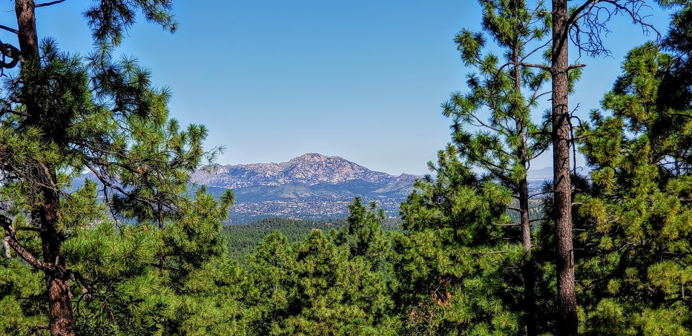
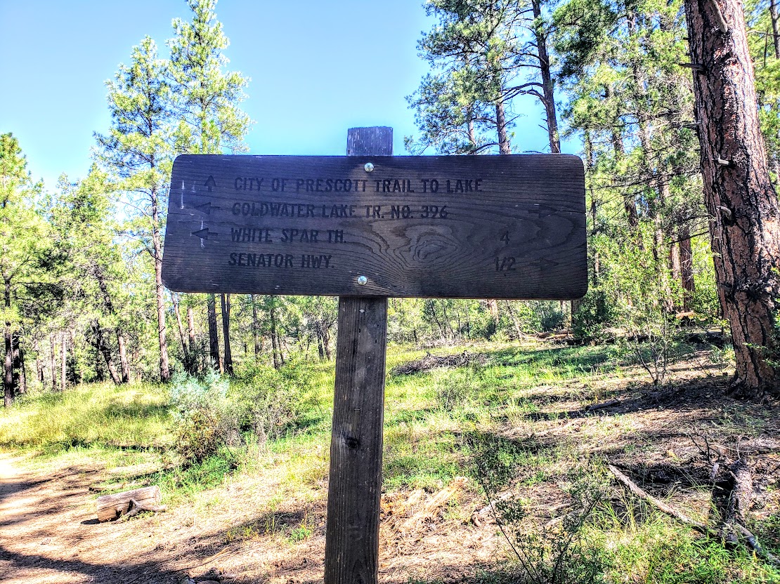
I spent 3 incredibly fun days exploring the Prescott area and covered a fair amount of ground on foot and on bike sampling the local trails.
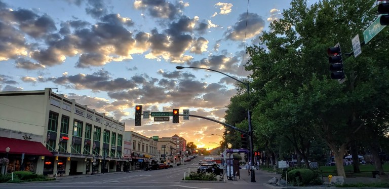
Downtown, historic Prescott, Arizona is charming, clean, friendly and fun. Lots of historic buildings, galleries, shops, restaurants, hotels and old-time saloons. I’m sure glad my road trip took me here. I had a blast exploring the area—hiking and mountain biking in the nearby Prescott National Forest by day and kicking up my heels on the saloon dance floors by night. As a solo woman traveler, I felt completely safe my entire trip. Nightlife – yes! Live music – yes! Dancing – yes!
WHAT I DID
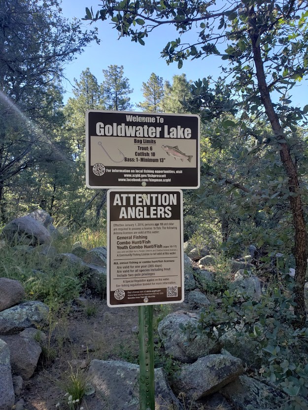
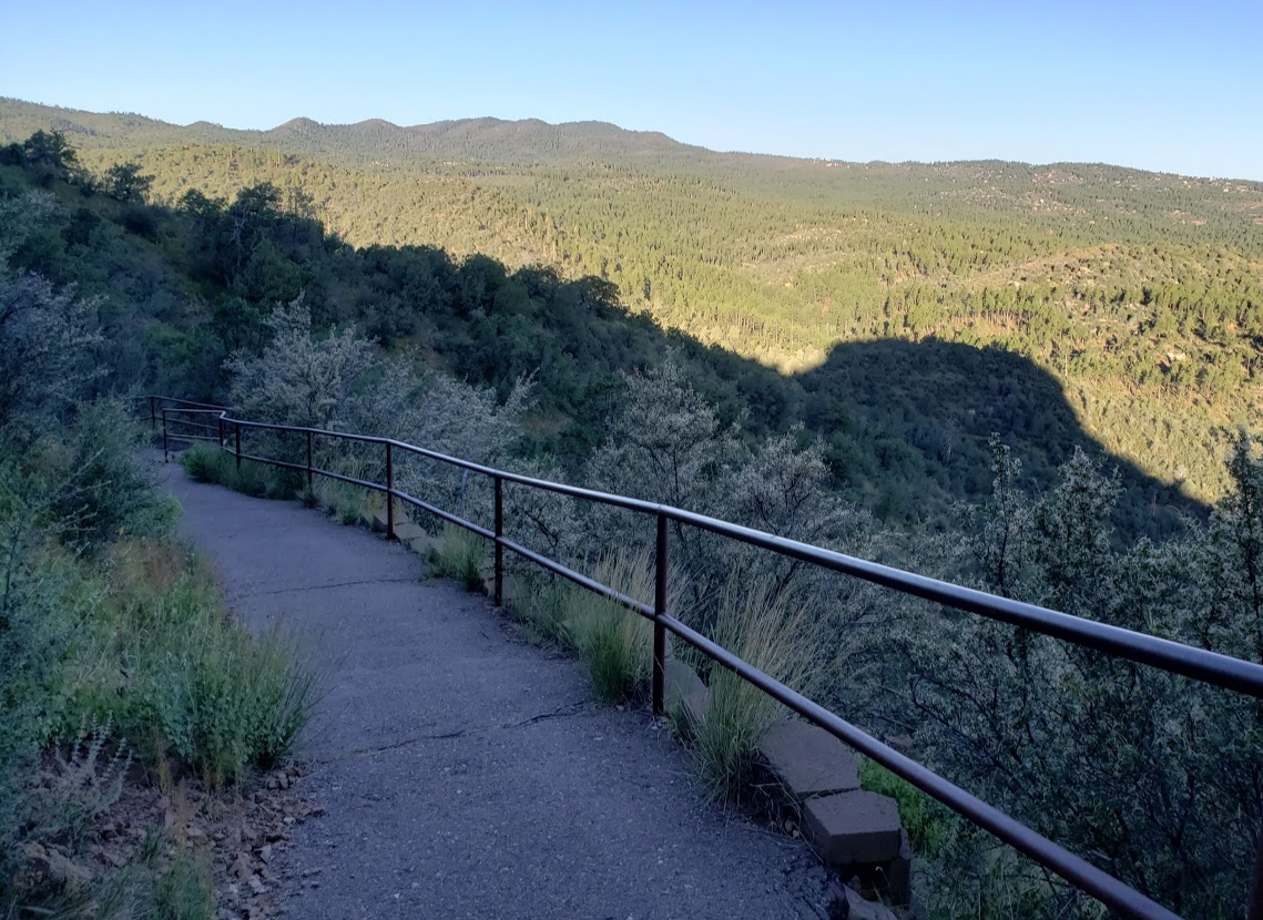
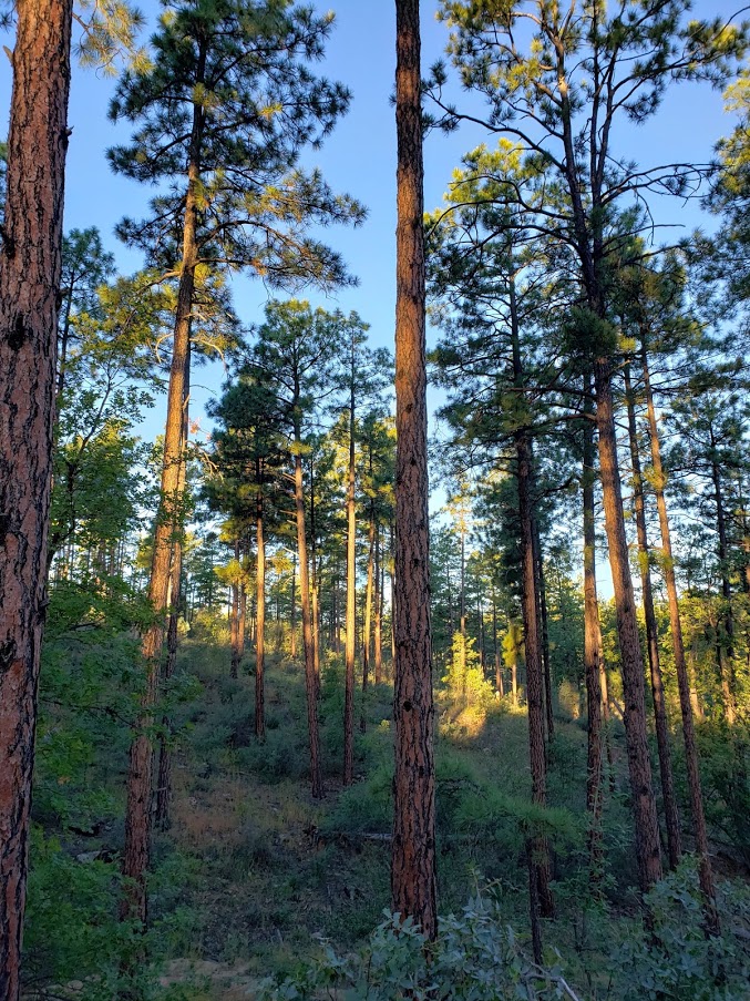
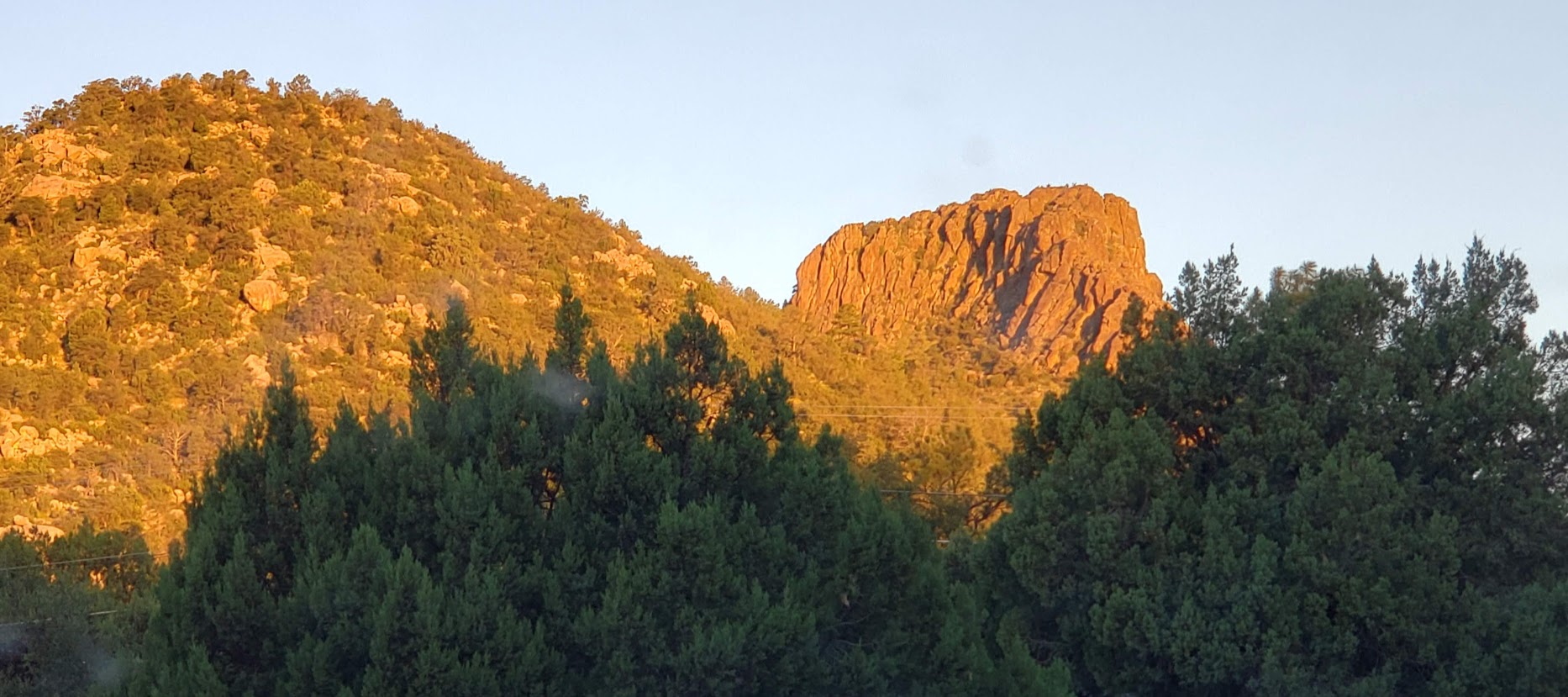
Hiking:
Mountain Biking:
Prescott Valley to Prescott via the Iron King & Peavine Trails
WHERE I ATE
Restaurants:
WHERE I STAYED
Good night’s sleep on the “cheap” – basic, clean, quiet accommodations
Got into town late the first night and just needed a clean, quiet, safe place to stay. Here at the Rodeway Inn, I found friendly staff, a clean room, and comfy bed. Just basic was just right for that night for me. I left before the complimentary continental breakfast, but nice that they offer it.
Prescott Resort and Conference Center
Not quite on the same scale as a California “resort’, but nice enough. It certainly has stunning sunrise and sunset views across Prescott and a wonderful patio where you can enjoy them with a cocktail if you’re so inclined. The rooms were cozy, comfortable and clean and I’m guessing that most have great views too. I ate a decent, inexpensive meal in the casino and was pleasantly surprised by the quality. (The casino restaurant has daily specials so it’s worth checking out the restaurant there compared to the “resort restaurant” if you don’t care about ambiance.) I was traveling solo and had been hiking all day so it was just fine with me.

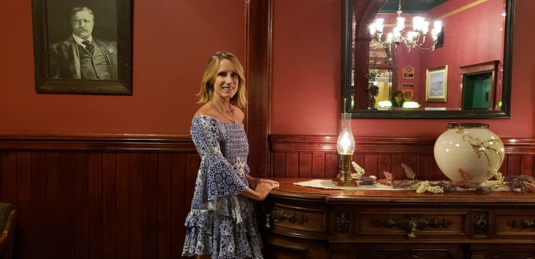
Hotel Saint Michael, Downtown/ Whiskey Row, Prescott, AZ
Location, location, location. On my final night in Prescott, I kicked up my heels and checked out the live music and saloon scene on Whiskey Row. If it’s a busy weekend you might need to pick your poison – some interior rooms with a super noisy generator or exterior room with rowdy crowds. Yes, the rooms and bathrooms are super dated – this is a historic (and word has it, haunted hotel – I expected that much. I didn’t expect the roar of the generator. Disclaimer, I’m a “sensitive sleeper”. But the noise was so LOUD, putting pillow over my head didn’t help. They should probably hand out earplugs here. Maybe they’re hoping you’ll come back from Whiskey Row so sloshed that you won’t hear a thing.
Much left to explore. I’ll be back!


 My downfall When the trail opened up into a rough fire road, I thought, Ok, this should be doable for me now. Well, apparently not. After another 35 minutes of navigating loose gravel and pot holes, my tire slipped out from under me and I wiped out and landed hard