Distance: ~6 miles- if you car shuttle, ~12 roundtrip
Elevation gain: ~700-1k
Difficulty: Easy to moderate, depending on your fitness level
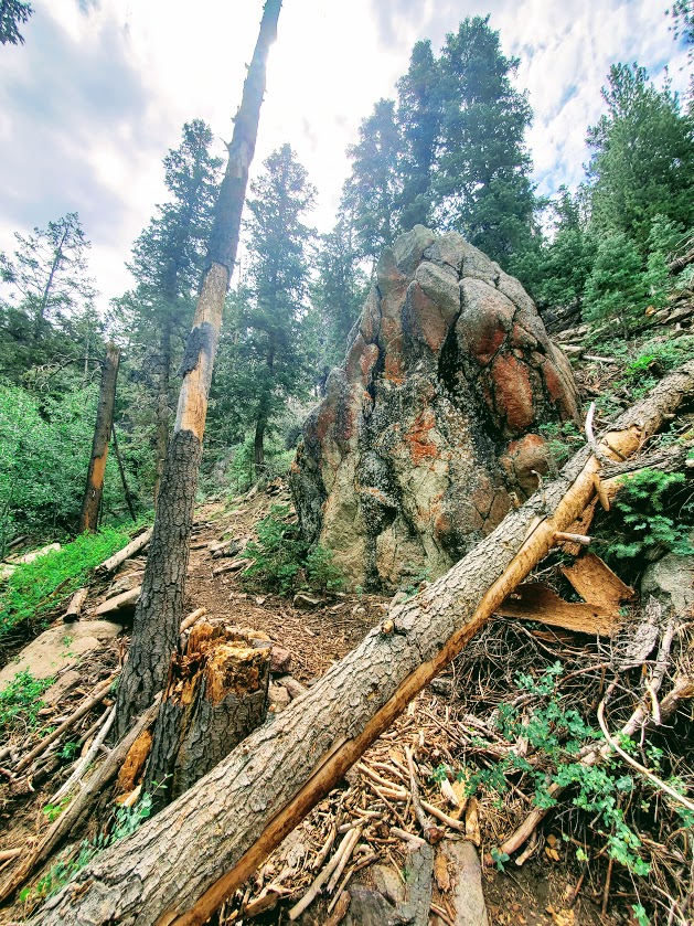
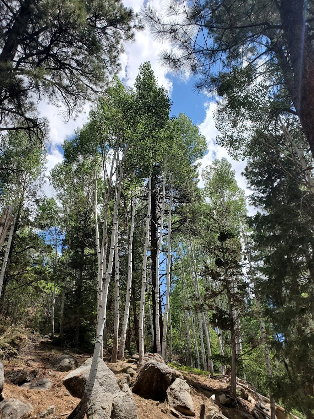
Terrain: Mostly a sweet, smooth single track trail, which is why mountain bikers are taking to it too
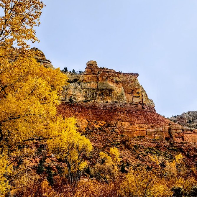
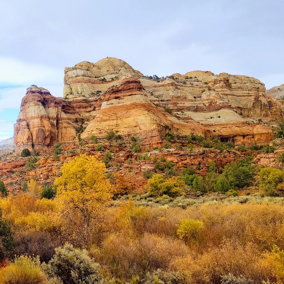
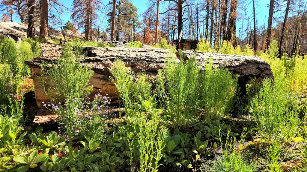
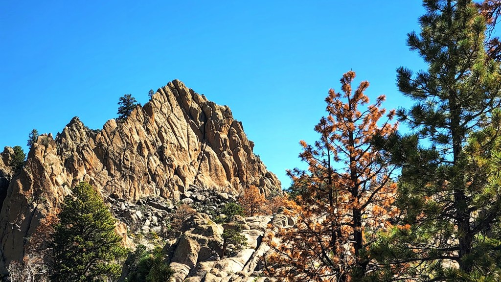
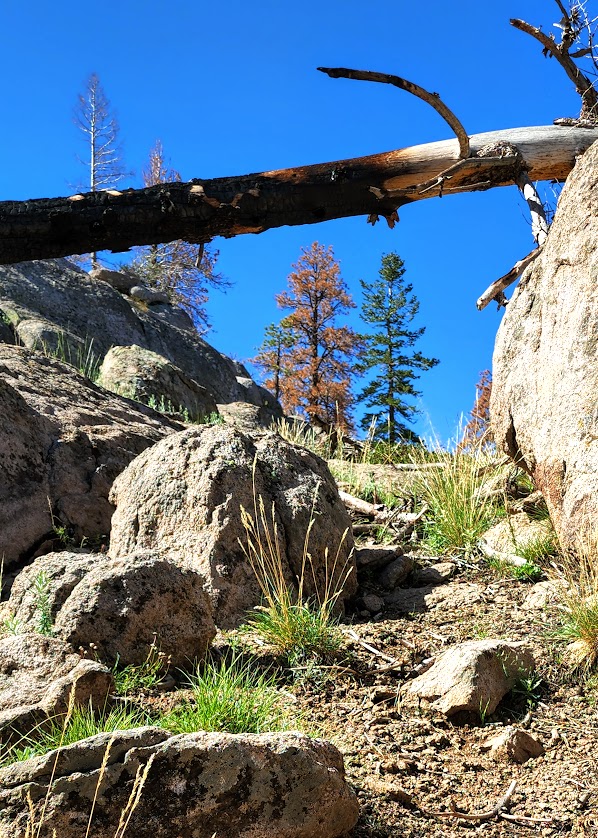
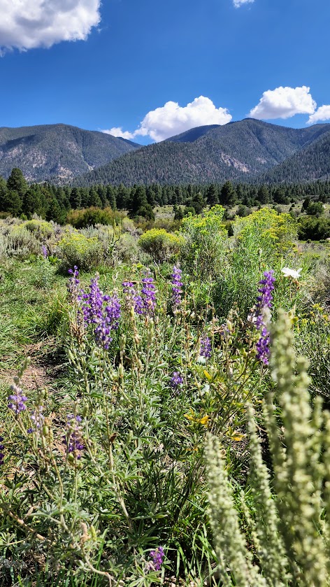
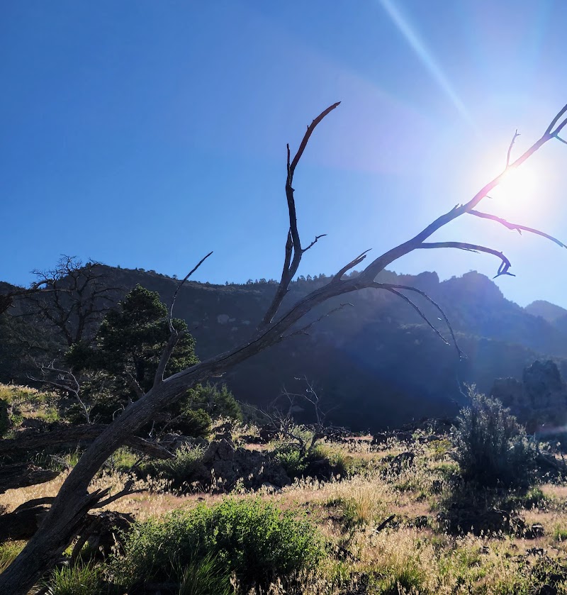
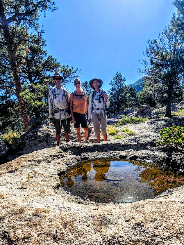
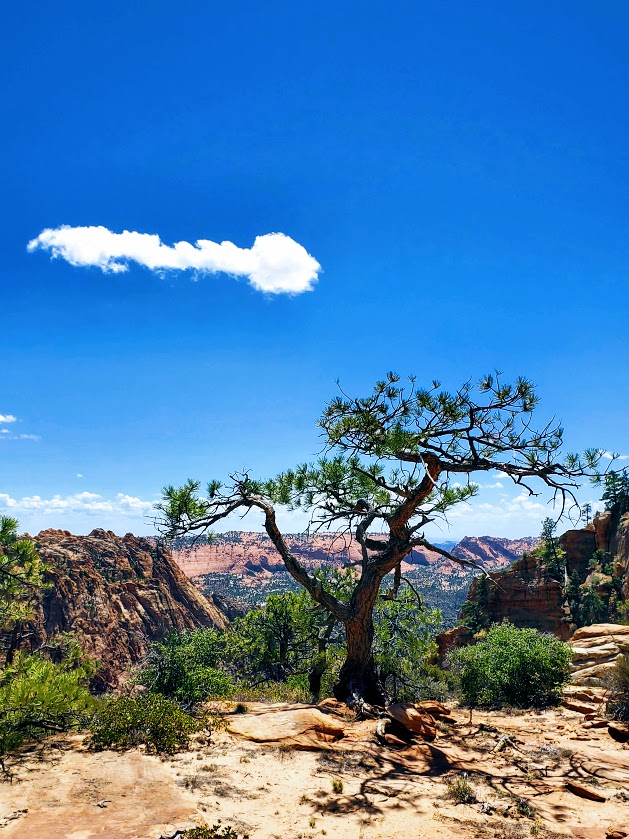
What can I say? Pine Valley never disappoints. These two trails are a lovely way to spend a couple hours immersed in nature and the fresh, delightfully cooler air.

You can pick up the Canal Trail in 3 spots:
The Cemetery Trail on the left before town will take you up and merge you with the Canal Trail on the rim, where you make a right. (Car shuttle opportunity–1 car here, the other at Mitt Moody Campground.)
You can take the Gardner Peak Trail to where it merges with the Canal Trail and make a right or left – it’s about the midway point if you only want to do part of the trail.
You can start / finish at the Mitt Moody Campground behind site 5. (A car shuttle is handy if you don’t want to walk the same path twice.)
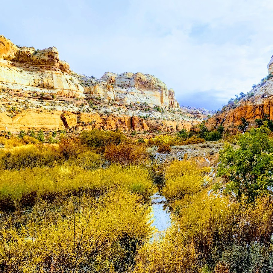
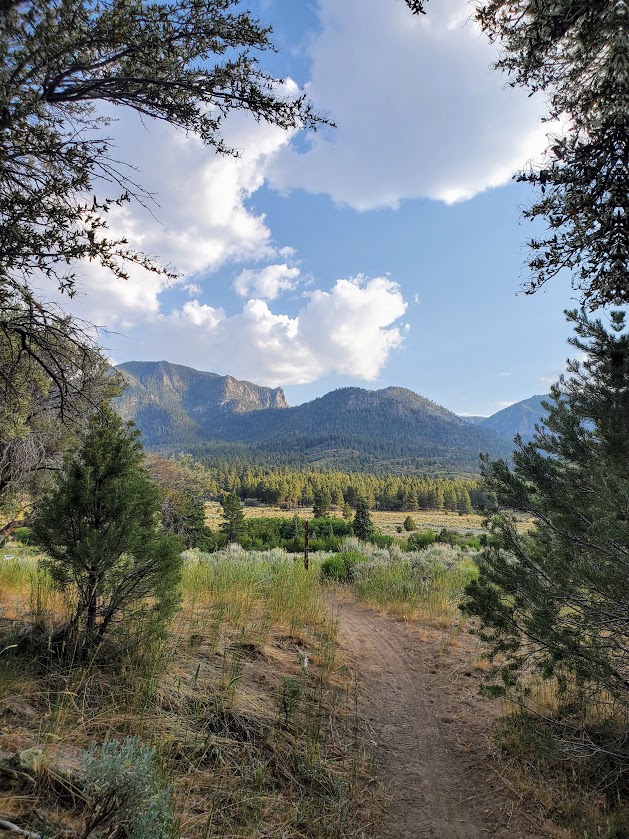
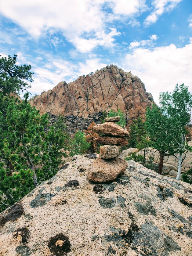
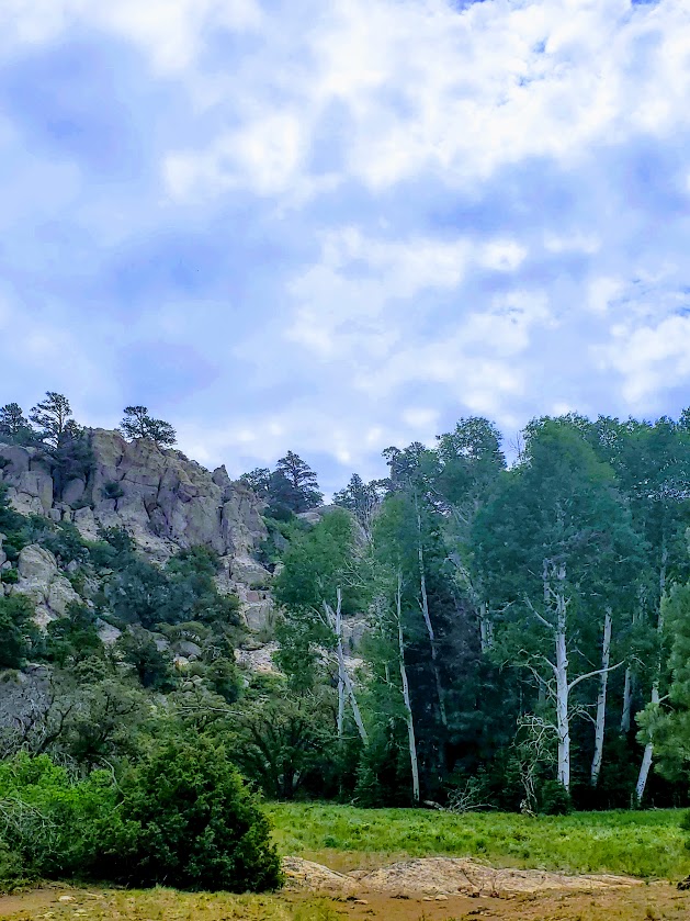
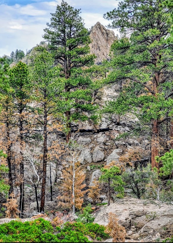
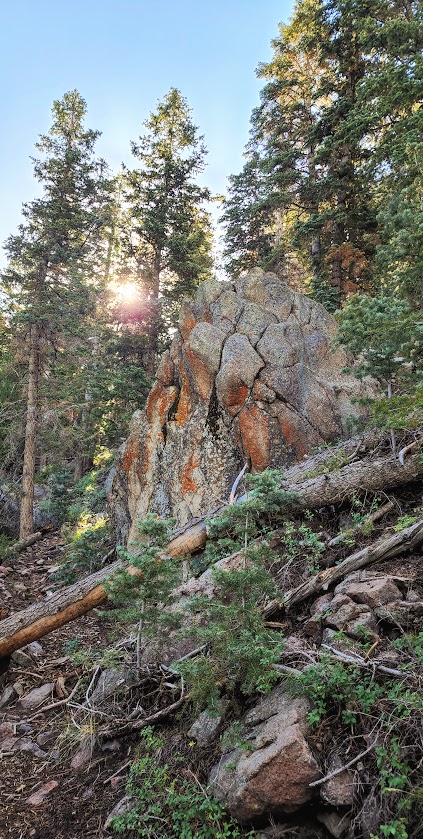
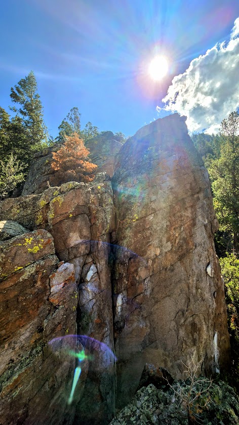
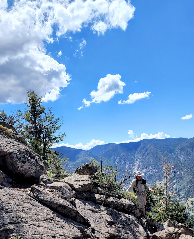
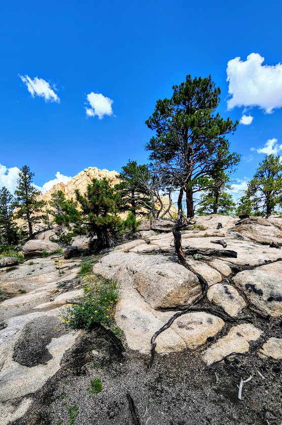
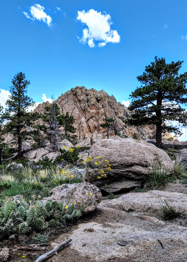
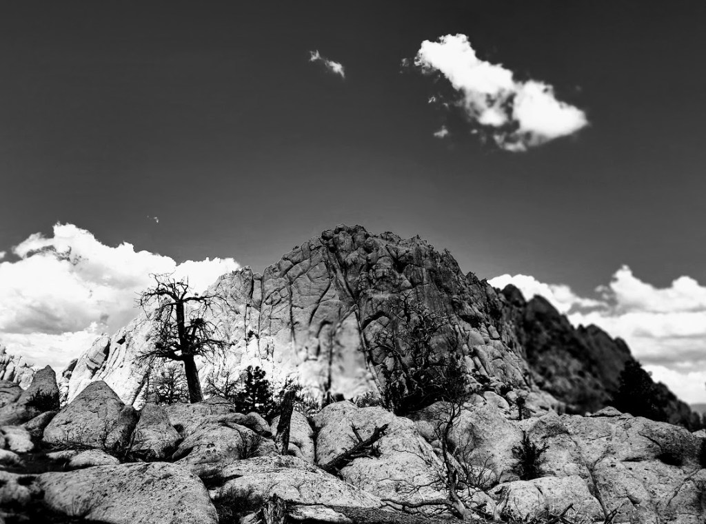
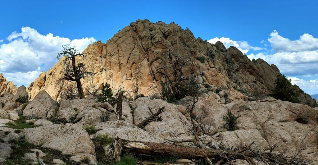
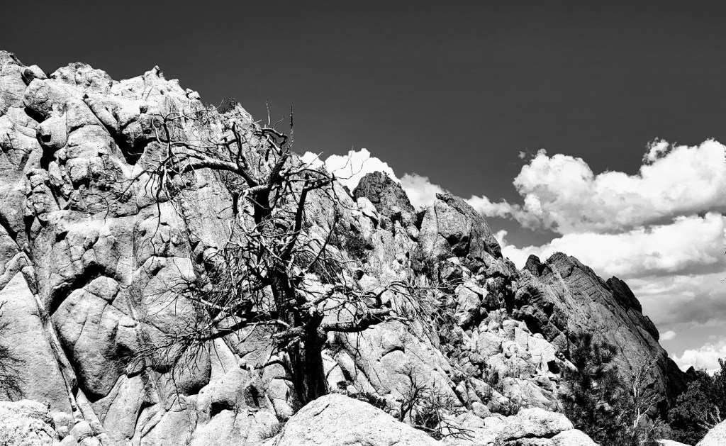
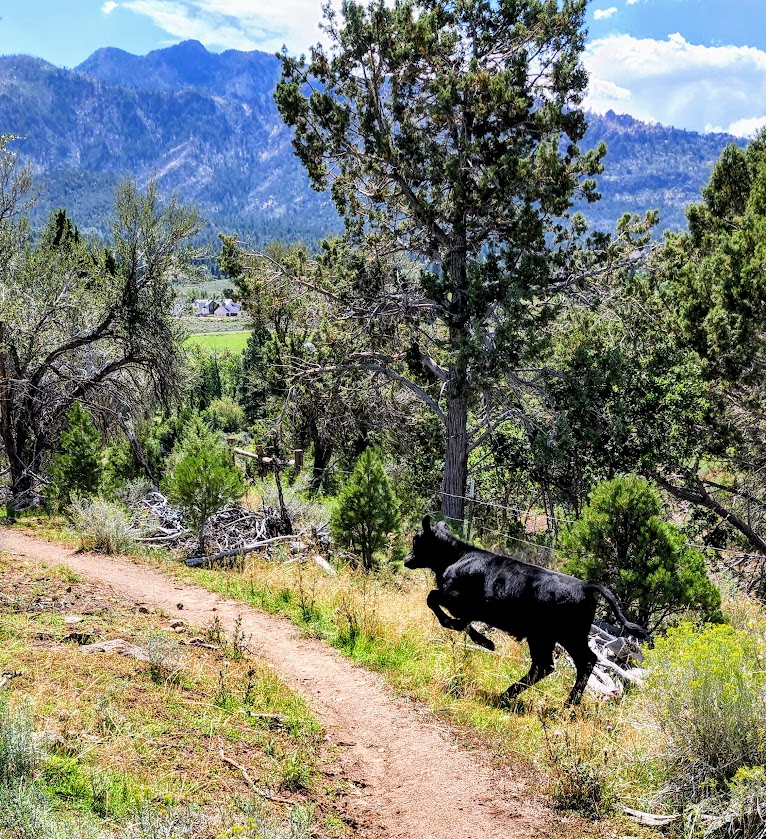
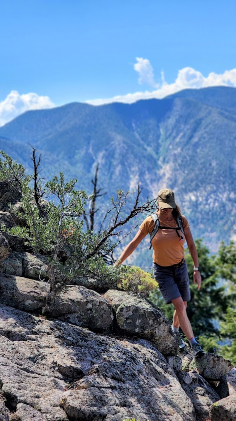
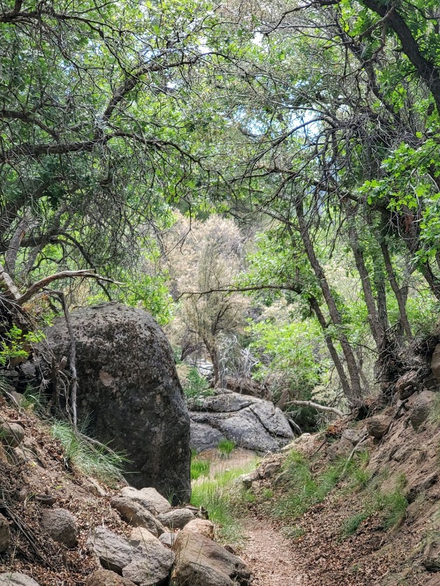
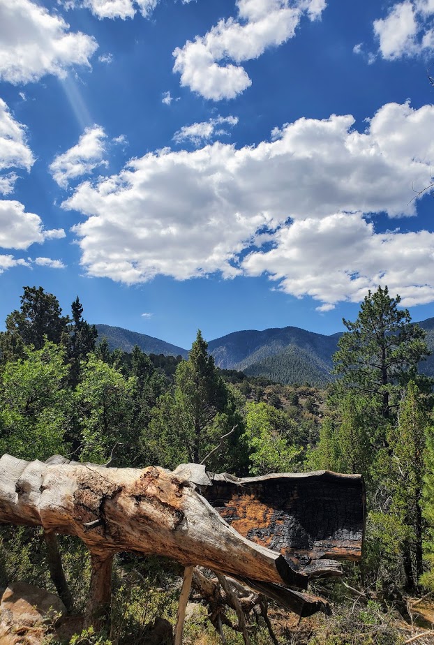
Any route you choose will be pleasant – the Cemetery Trail and Gardner Peak Trail pack the elevation in the first mile and it’s gravy after that. The most gentle approach is the Mitt Moody start. Under the cover of Ponderosa Pine you’ll enjoy wonderful views of Pine Valley and the surrounding mountains.
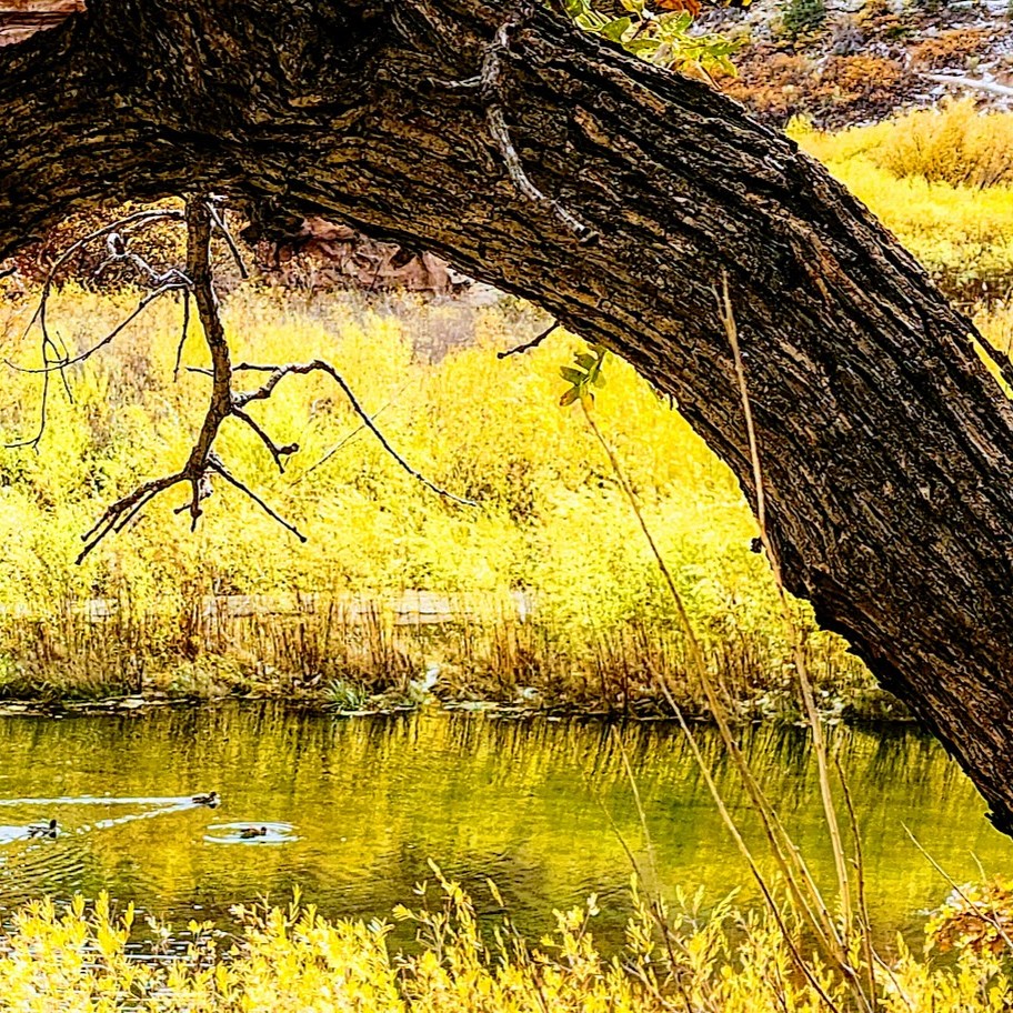
If you prefer a a short, paved trail, the Santa Clara River Trail is a wonderful alternative or add on. This family-friendly, 2.6 mile out and back trail runs through the forest along a stream and to the reservoir. It can be accessed at Mitt Moody Campground or across from the Gardner Peak parking lot.


Getting there: Take 18N to Pine Valley