Easy Waterfall Hikes With Ravishing Rewards, Tongariro National Park, NZ: Tawhai & Taranaki Falls

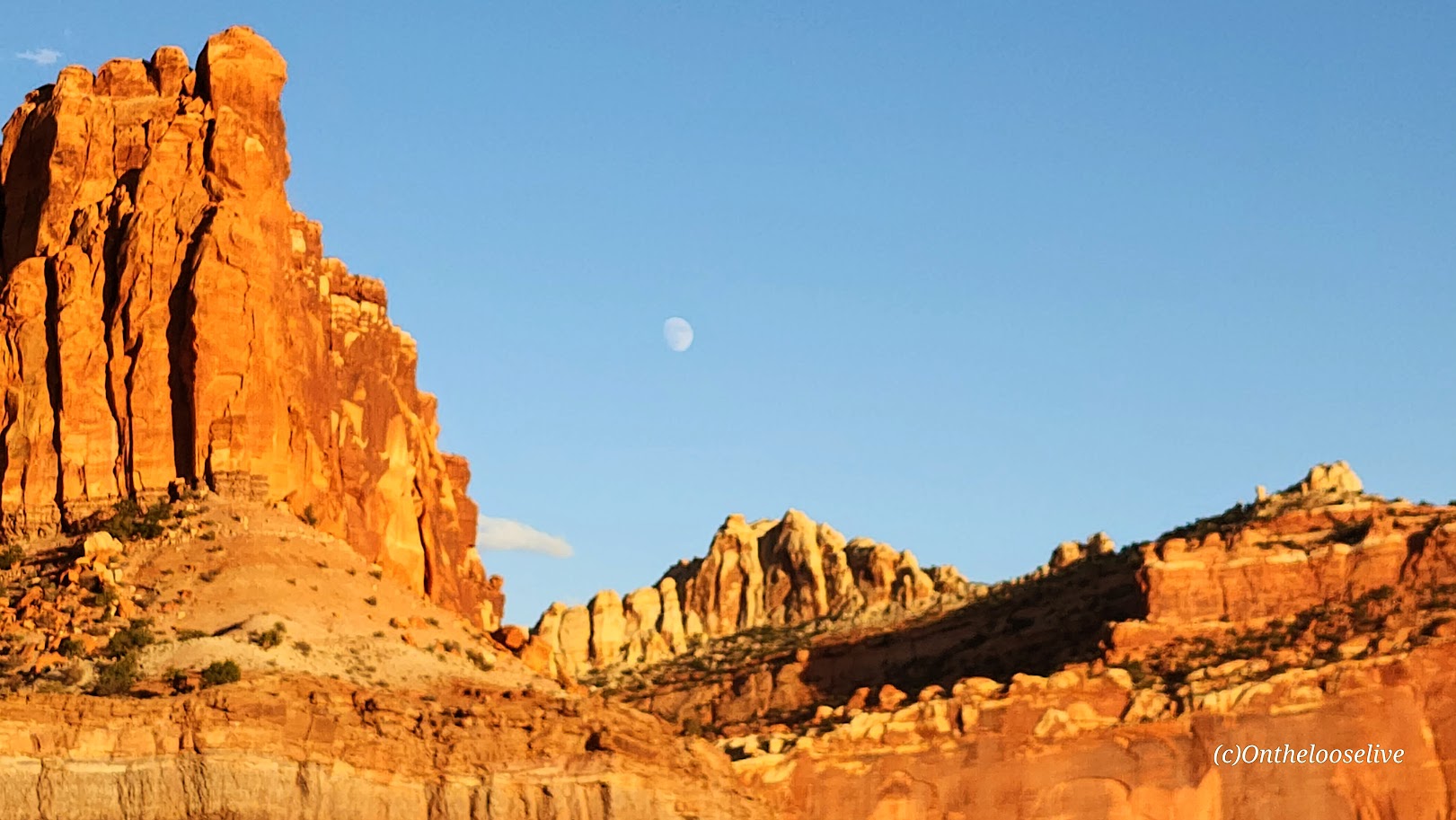
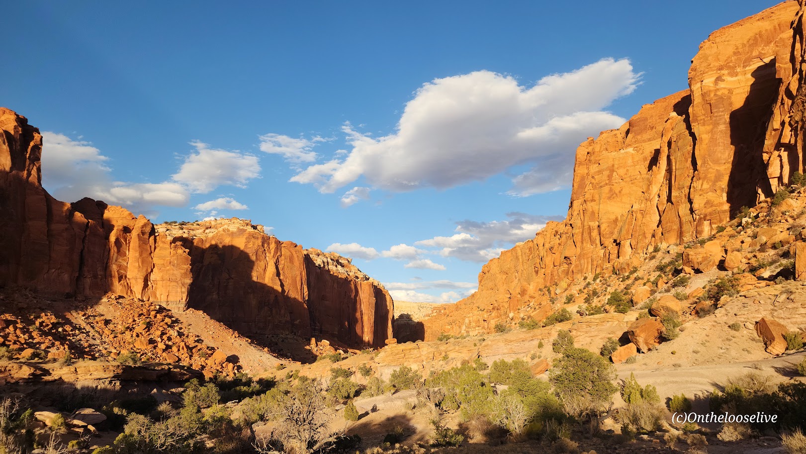
Founded in 1887 and officially established in 1894, Tongariro is New Zealand’s oldest national park and the 4th in the world. It is a dual UNESCO World Heritage site, recognized for both its outstanding natural volcanic features, including 3 active volcanoes: Mt. Ruapehu, Mt. Ngauruhoe, and Mt. Tongariro, and its cultural significance to the native Māori people.

Tawhai Falls                  Distance: < .50 Mile                               (Ranking 6th of the Top Hikes in Tongariro National Park per AllTrails.)

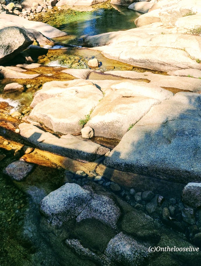
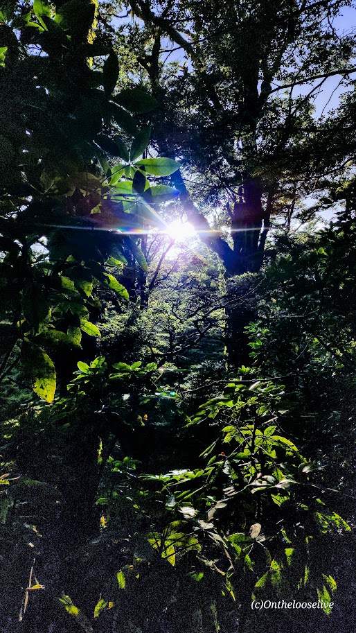
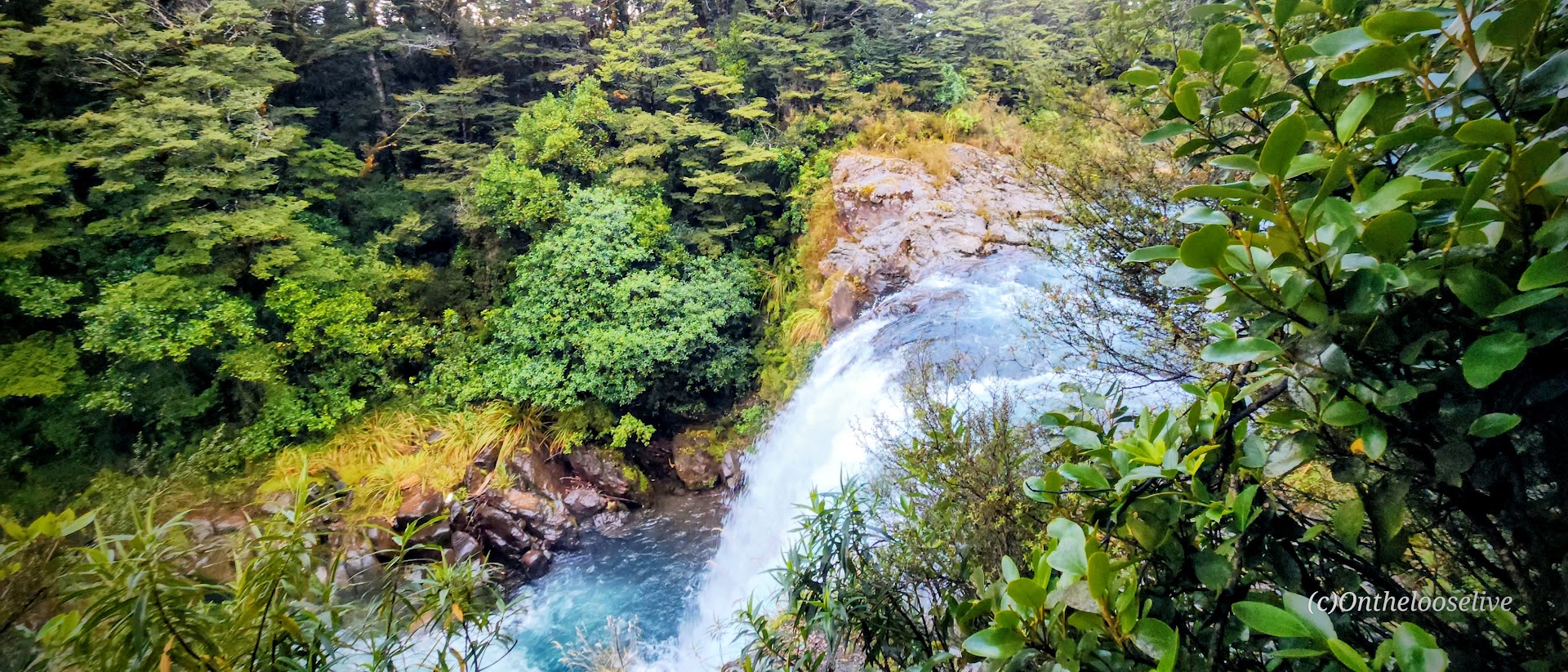
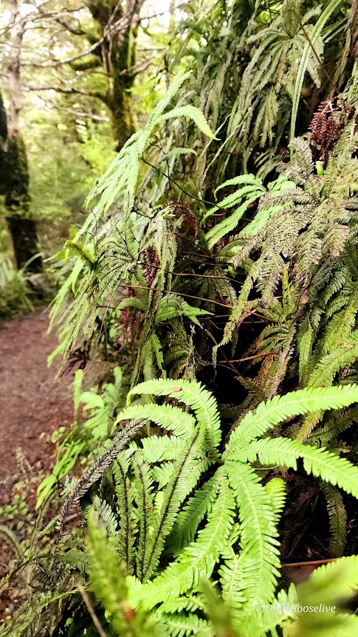
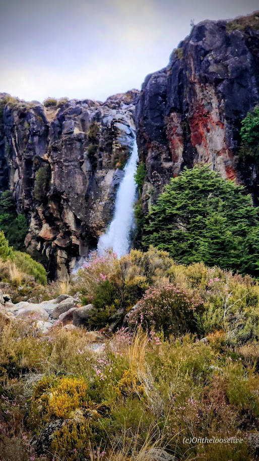
Up for a tame, super short stroll to a lovely waterfall? Tawhai Falls won’t disappoint. It’s an easy walk through the forest on a smooth trail to see the gorgeous, rushing, crystal-clear, turquoise waters of this 42-foot-high waterfall. You can take in the views from the top viewing platform and then follow the water’s journey to the base of the falls.

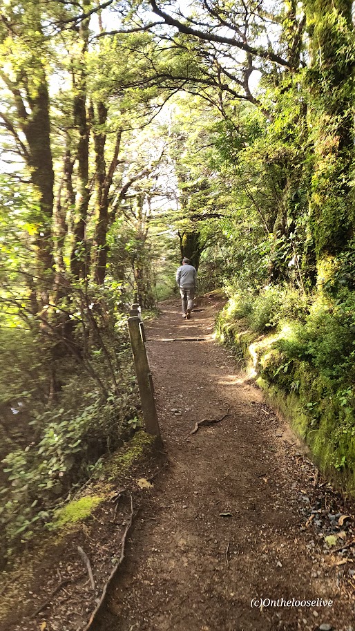
Getting to Tawhai Falls: It’s right off the SH48, about 2.5 miles below Whakapapa Village. Look for the large sign.

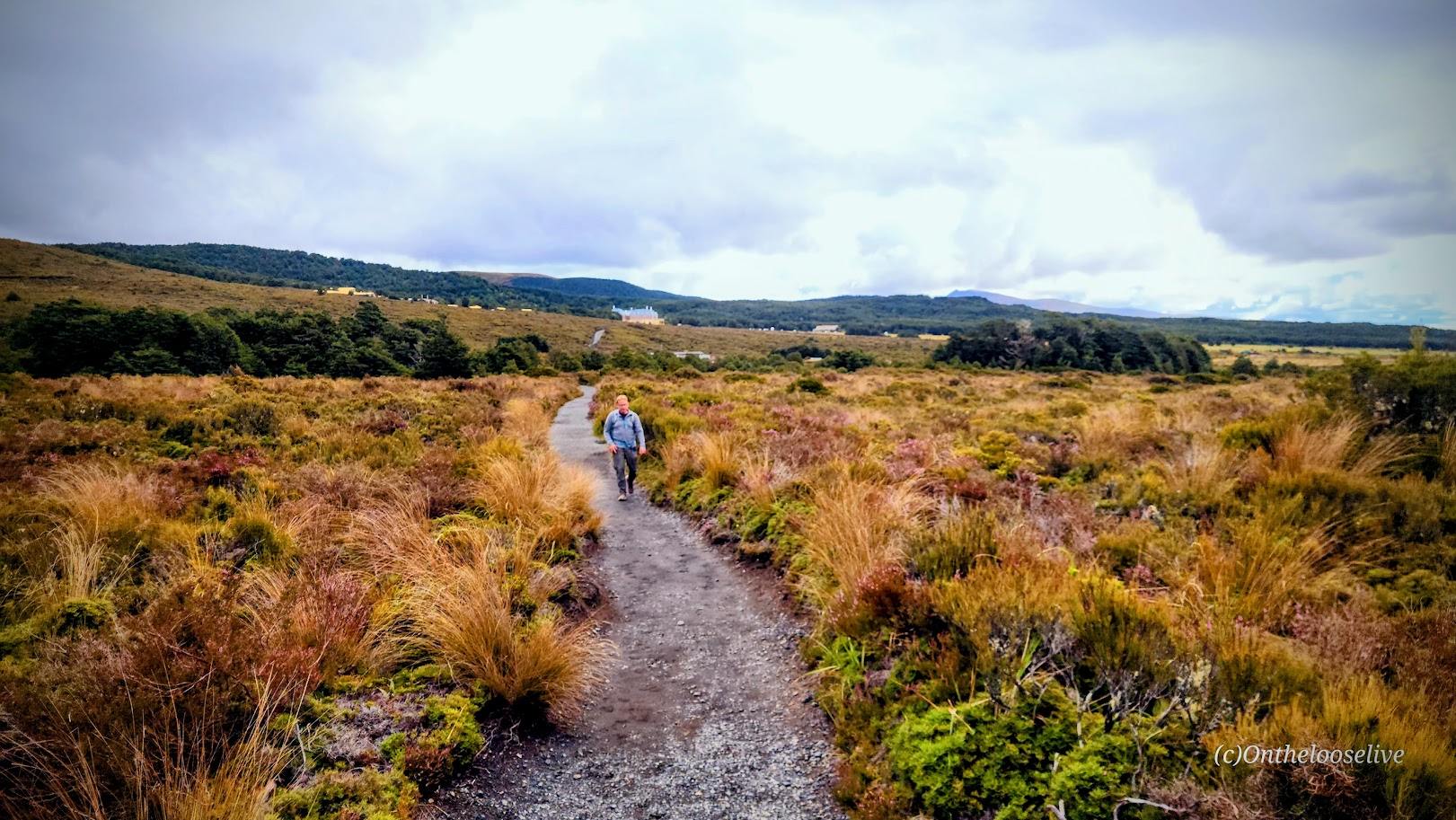
Taranaki Falls              Distance: 3.73 Miles (The #2 Top Hike in the Park per AllTrails.)

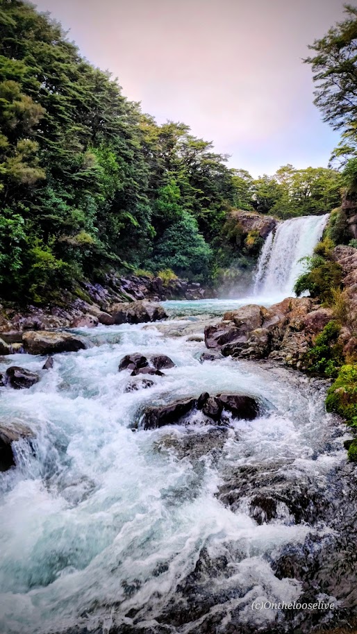
Another tame and short walk to a waterfall is Taranaki Falls. Here, you’ll walk through the tussock (a golden, coppery red ornamental grass that is native to New Zealand) and alpine shrublands, enjoying expansive views of mountains and the beech forest, until you come to the star of the show— the dramatic 65 ft Taranaki Falls tumble down from top of the volcanic cliffs (formed by the Ruapehu eruption of 15,000  years ago) to a natural, boulder-ringed pool below.

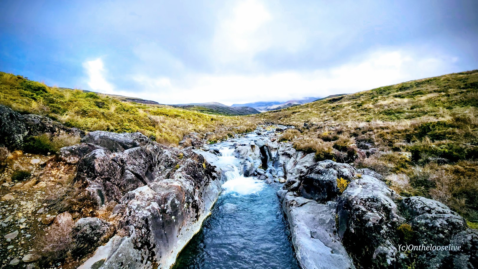
In my opinion, this loop is most scenic clockwise, with the reward of rounding a corner for the big reveal (versus the anticlimax of seeing the comparatively anticlimactic top of the falls first). From the falls, the track climbs up to loop back, or you can continue your hike on the Tama Lakes Track (post to come).

Getting there: The trail starts from the road about 100 yards below the Whakapapa Visitor Centre.

Happy Trails and Waterfall Chasing!

A Quick Jaunt Up Lassen Peak Rewards With Panormaic Views, Lassen Volcanic National Park, CA

Distance: 5 miles

Elevation Gain: 1,957 ft (8,500 ft at the trailhead to 10,457 ft at the peak)

Difficulty: Moderate to difficult, depending on your fitness level and altitude acclimation.

(LVNP rates it as strenuous and suggests 4-5 hours. It took us 2 hours – the threat of a storm kept us on pace.)

When it’s your last day in LVNP, and you haven’t “bagged” Lassen Peak yet, you make a run for it. And so we did. Actually, it was more of a fast walk than a trot, but a steady pace to try and outpace a looming monsoon. Mission accomplished. This was a fun hike and a solid workout. In my opinion, the trail is runnable – mostly smooth gravel with some short rocky sections. It’s a moderate, though consistent, incline with sweeping switchbacks. (Unfortunately, my knees no longer sanction running, so I have to settle for brisk walking.)

Since we had just hiked the Ridge Lakes Trail with 1k of elevation gain, we were warmed up for the climb. If you’re just hopping out of the car, you may want to take a little stretch band stroll before you hop on the “hill”.

The immediate scenery is a bit stark, but the panoramic views are splendid.

Happy Trails!

Chimney Rock—Short and Sweet With Stunning Panoramic Views, Capitol Reef National Park, Torrey, Utah

Distance: ~3.4 miles

Elevation gain: ~795 ft

Difficulty: Easy (smooth trail-runable terrain)

If you’re rolling into Capitol Reef at sunset or wrapping up a day of hiking but still have some energy left, the Chimney Rock Trail is a short, sweet hike that offers stunning panoramic sunset views. If you’re really short on time, you can take the official sunset “hike” in the park, Sunset Point Overlook—an easy half-mile trail that offers similar breathtaking vistas.

Chasing sunsets on the trails and yoga pose photobombing are two of my favorite things! What silly things do you do to express your exuberance in the wild?

Happy Trails!

Is Pinnacles Worth Visiting? My Honest Take.

I wouldn’t rank Pinnacles near the top of my National Park experiences. To be fair, I’ve been lucky enough to hike in some of the most stunning areas across the U.S. and around the world—so I’ll admit it, I’m a bit of a hiking snob. That said, Pinnacles didn’t quite feel like it earned its National Park status. Honestly, it felt more like a solid regional park—State Park caliber at best.

The landscape reminded me of the local parks I used to trail run back when I lived in California: pleasant, but not particularly awe-inspiring. The park offers about 30 miles of runnable trails. Yes, there are some unique features, like interesting rock formations (which is where the name ‘Pinnacles’ comes from—but since I live in southwest Utah, that’s something I see daily), the cool, dark caves—Balconies and Bear Gulch (bring a flashlight, headlamp, or a charged phone), a short tunnel on the trail, and a “steep and narrow” section on the High Peaks trail that might feel adventurous to hiking novices. But for anyone who’s tackled something like Angel’s Landing, it’s pretty tame, and some might say lame. There’s also Bear Gulch reservoir, which is mildly scenic, but small and stagnant (NOT a spot for immersion). These trails (except for the caves and the tunnels) are completely exposed—hot in the summer, so go early or late in the day to avoid the heat.)

I covered the main highlights of the Park with a 7.5 mile loop that included the High Peaks Trail, Tunnel Trail, and both cave areas. The elevation gain was nearly 2k ft, but the climb was gradual and spread out, so I would rate it as easy effort and terrain, but of course, it varies depending on your fitness level. I kept myself engaged by playing photographer.

Most of the rocks in the High Peaks area are rhyolite breccia. These angular fragments were ejected by volcanoes and cemented together by ash and mud, giving them a slightly golden hue. (They are rare in the volcanic areas of Utah and Hawaii. In Hawaii, the volcanoes primarily erupt low-silica, low-viscosity basalt, which flows easily rather than fragmenting. And while rhyolite eruptions do occur in Utah, the conditions needed to form substantial rhyolite breccia are less common than other volcanic processes.)

Inside the Caves

Dark Skies, Rock Climbing, Birds, Bats, Bees, and a Small Pool at the Campground 

While not designated as an official dark sky site (they should apply for it), the remote Park is committed to dark sky preservation and boasts about its night sky in its pamphlet. (I left before sunset, so I can’t speak to that.) I do know that the Park is out in the middle of nowhere, so it’s certainly free of light pollution. Apparently, there are hundreds of rock climbing routes here. And if you’re a birder, there are over 180 species here, including the endangered California condors, peregrine, and prairie falcons. (I did see a couple of wide-winged condors gliding high above the trail.) If you’re batty(?), the talus caves are home to Townsend’s big-eared bats, and 13 other bat species live in the park and roost in rock crevices and trees. Notably, the park has over 500 bee species, the highest diversity on earth!

The Locals

Any time spent being active in nature is worthwhile. Still, while pleasant enough, perhaps Pinnacles is best suited for families with kiddos who would enjoy exploring the caves, climbing on the rocks, and cooling off at the small campground pool. It’s a one-and-done for me.

Have you been to Pinnacles? What did you think? Take it or leave it?

Happy Trails! Leave No Trace!

Getting There

Backcountry Vibes Without a Big Hike, Tokopah Falls Trail, Sequoia National Park, CA

Distance: 3.4 Miles

Elevation Gain: 615 ft

Difficulty: Easy, depending on your fitness level and sensitivity to altitude (as the trailhead is at 6,700 ft and the falls are at ~7,315 ft)

If you know me by now, you know I like a big hike and chasing waterfalls. Topokah Falls, in this case, offered neither, but in my opinion, it was still 100% worth it. Perhaps the pictures below will convince you why.

Even when the 1,200-foot falls were but a trickle, as is often the case in late summer, this is still a delightful little hike on a well-groomed, easy trail alongside a stream, glades of wildflowers, and gradually up to some impressive granite slopes. As you near the falls, you’ll encounter short sections of rocky footing.

This area has a wonderful “back-country” Eastern Sierra vibe; it reminded me a bit of Yosemite.

(Given its easy accessibility, you may be sharing it with a Boy Scout troop or other large groups.) Go early and have it all to yourself.

From the Lodgepole Campground, there are other trails to add on if you have the time and inclination, including Cahoon Meadow (2.6 miles) and Twin Lakes (6.5 miles). If there’s a next time for me, I’d probably take the Twin Lakes Trail. If you’ve done these hikes, let me know how they were.

Happy Trails! Leave No Trace! Tread Lightly! (Note, I’m not tromping on the wildflowers; there’s a path going through them that’s obscured in this photo, but perhaps it’s a good time for a PSA: As pretty as wildflowers are, please don’t pick them. They are essential for the ecosystem, including the pollinators, birds, and wildlife. Also, it’s illegal in most areas, including National Parks, though you’ll often see people doing it.)