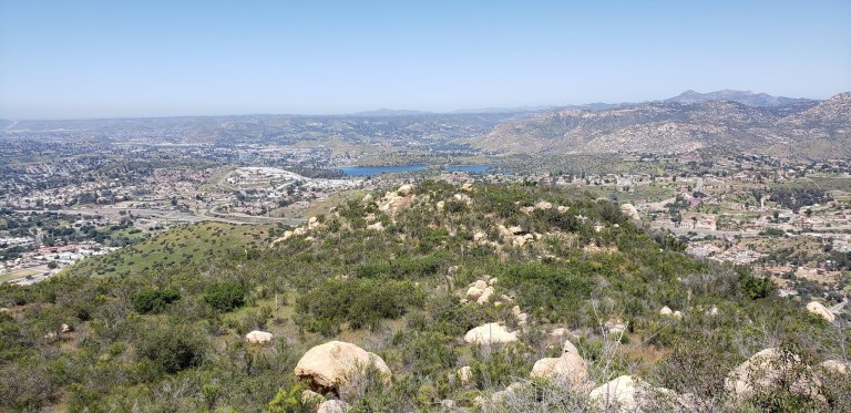
Spent a leisurely morning exploring a few of the wonderful State Parks and scenic reservoirs near St. George, UT.
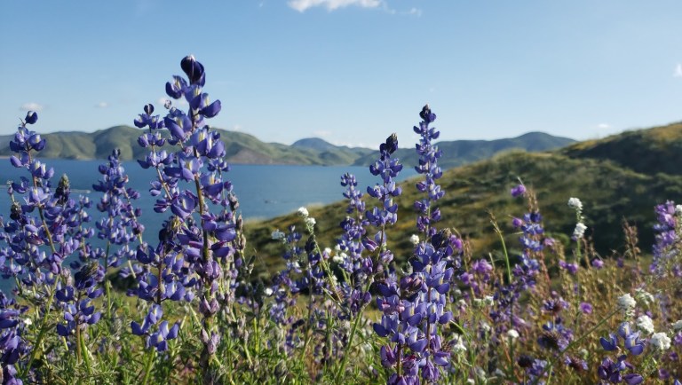
What’s great about the reservoirs in Utah, is not only are they breathtakingly beautiful, but you’re also allowed to boat, fish, and swim in them.
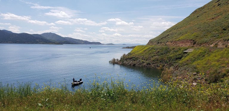
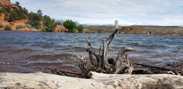
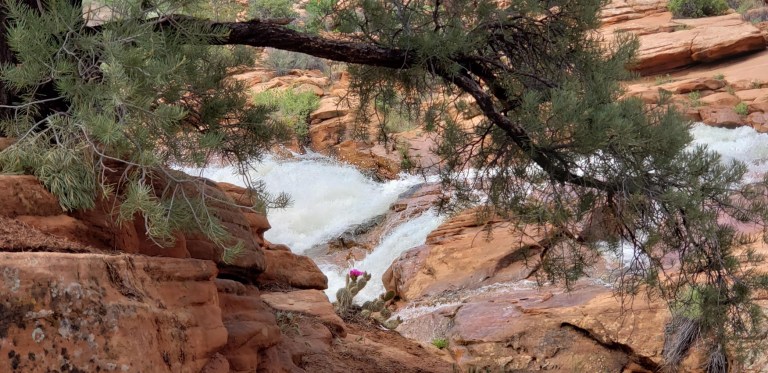
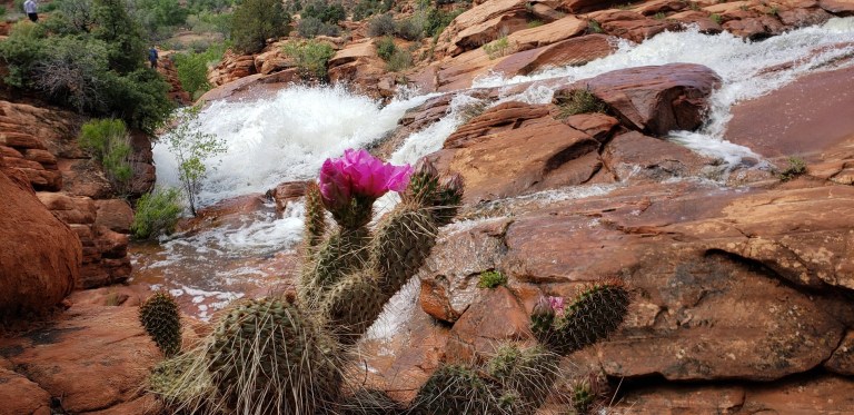
The 66-acre Gunlock reservoir, as you can see from the picture above is overflowing with scenic beauty. (Pun intended.) We heard that the falls haven’t flowed in about seven years so we got a special treat-they’re quite spectacular as you can see. Unfortunately, people have died cliff jumping here so immerse yourself in the beauty wisely. The park is approximately 15 miles northwest of St. George and the dam was constructed in 1970 for irrigation water and flood control.
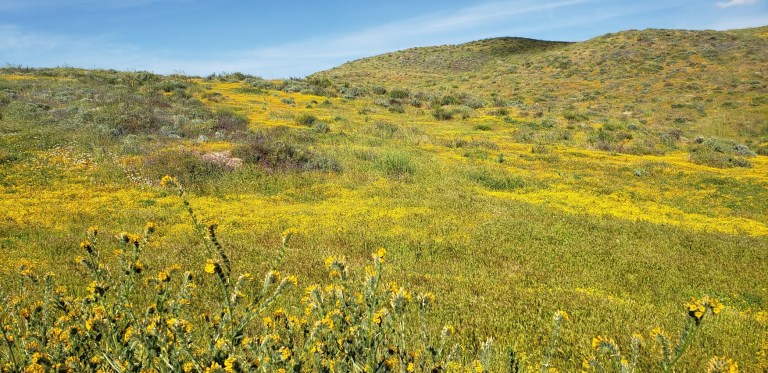
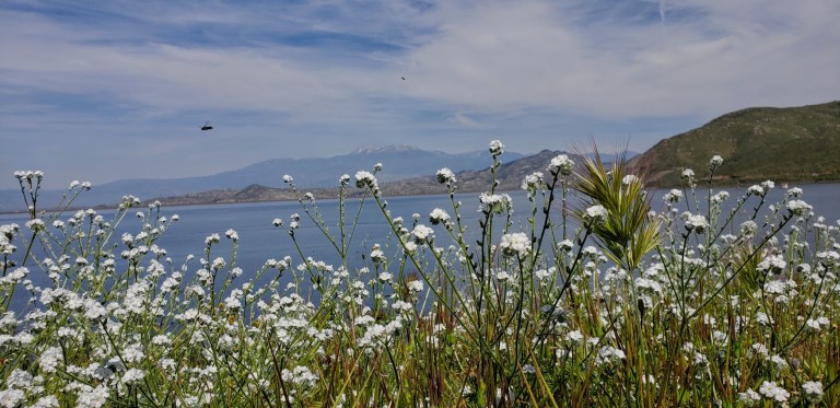
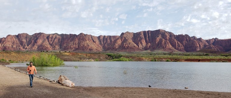
Meanwhile, back in Ivins, enjoying a coffee (not as hard to find in Mormon country as you might think) and a stroll around the reservoir. Ivins is a “bedroom community” of St. George that features its own little reservoir and the dazzling artist’s and retirees’ enclave of Kayenta. They have a coffee shop / restaurant, lovely gardens, galleries, and a theater there. Imaging waking up to this view every morning. In the other direction, a snow capped mountain range. Absolutely gorgeous!
Stay tuned for more explorations in the St. George area and beyond: Red Cliffs Desert Reserve