Wizard Island, named for its resemblance to a wizard’s hat, is a striking volcanic cinder cone rising from the western side of Crater Lake in Oregon’s Crater Lake National Park. It was formed over 7,700 years ago during the cataclysmic eruption of Mount Mazama.
Exploring Wizard Island is one of the most unforgettable ways to experience Crater Lake up close — from its pristine shoreline to the sweeping panoramic views from the rim. It’s easily one of the top highlights of the entire park. I’m so glad my friend insisted we make the boat trip out there!

Unfortunately, the Cleetwood Cove Trail — the only public access point to the water at Crater Lake — is now closed for the 2025 season and may remain closed for up to three years due to a major rehabilitation project. As a result, boat tours to Wizard Island are suspended until the trail reopens.
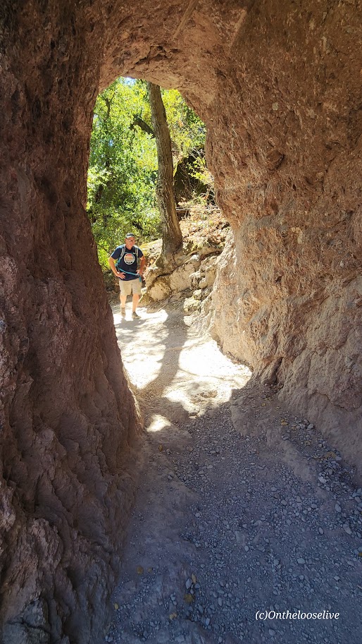
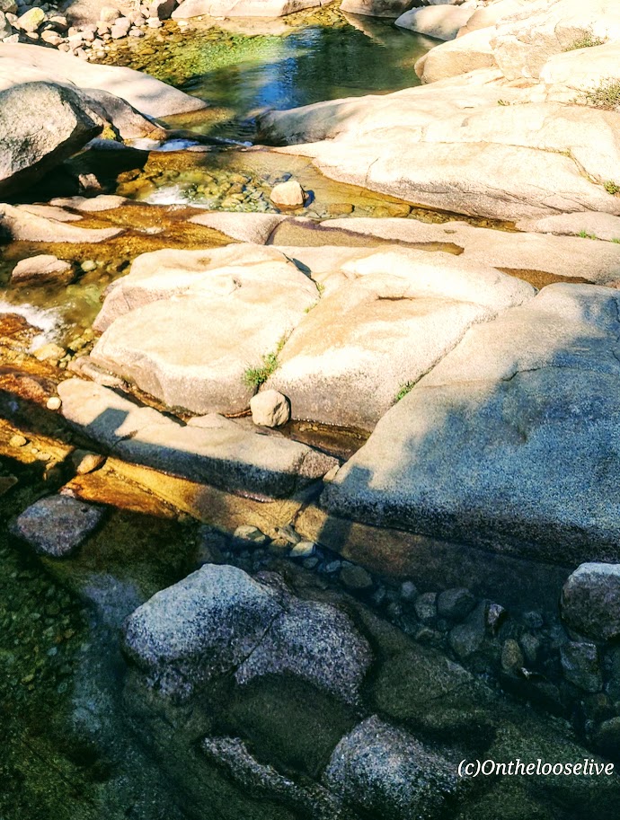
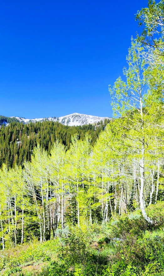
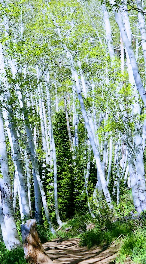
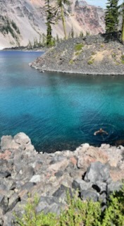
I was lucky enough to visit Crater National Park this past August, just before the closure. The excursion to Wizard Island was, without a doubt, the highlight of my trip there. While I enjoyed a few beautiful hikes in the Park (posts coming soon), it was on Wizard Island that I truly felt the spellbinding magic of Crater Lake. The colors are spectacular—the many blues of the water and the neon green of the moss and trees are surreal.


What truly made the visit unforgettable was standing on Wizard Island, surrounded by mesmerizing views of Crater Lake, and then immersing myself in the deepest, bluest, purest lake in the country (in the refreshing summer temps of ~57 F)—priceless.

Cleetwood Cove Trail
Distance: 2.2 miles RT
Elevation Gain: ~700 ft on the return (comparable to 65 flights of stairs)
Difficulty: NPS lists this hike as “steep and strenuous”, AllTrails lists it as “moderate” – it depends on your fitness level and altitude sensitivity. (It’s easy footing, and runnable though the pumice surface can be slippery.) I’d rate it easy++.
To the Top of the Wizard’s “Hat” (Cindercone Rim) & Lower Cove area, Wizard Island
Distance: 3.6 miles
Elevation Gain: 798 ft
Is Crater Lake National Park Worth Visiting If You Can’t Get To Wizard Island?
Knowing what I know now, would I visit Crater Lake if I couldn’t get to Wizard Island? Probably not. While the hike samplers I took in the park (posts to come) were wonderful, I don’t find them compelling enough to warrant a special trip here. Disclaimer: I would never discourage a visit to a national park if you’re in the area, but if you need help deciding when and where to go, and what to prioritize, this might be helpful. Also, if you feel Crater Lake is absolutely worth it, even if you can’t get to Wizard Island, comment below to let people know.
Notes: Boat reservations to Wizard Island must be made in advance. Since it’s likely the park will have a new system in place when the trail and boat excursions reopen, here’s a direct link to CLNP.
Swimming is only allowed within 100 yards of Cleetwood Cove and within 100 yards of Wizard Island. To keep the water pristine, the following items are not allowed: scuba and snorkeling gear, wet suits, masks, goggles, fins, inner tubes, kayaks, canoes, inflatable rafts, SUPs, flotation devices, personal life jackets or vests, waders, and personal boats.
Pro tip (wink): Apparently, it’s a “thing” to wear a Wizard’s hat to Wizard Island. There’s plenty of time for you to find one before it reopens if you’re so inclined. (No, I didn’t wear one.)
Happy Trails!