Distance: 9.3 miles
Elevation gain: 2k
Difficulty: Easy to moderate, depending upon your fitness level
This is definitely one of the more engaging official trails in Zion and now one of my favorites. From the trailhead, it begins as a tame, wide-open, flat route.
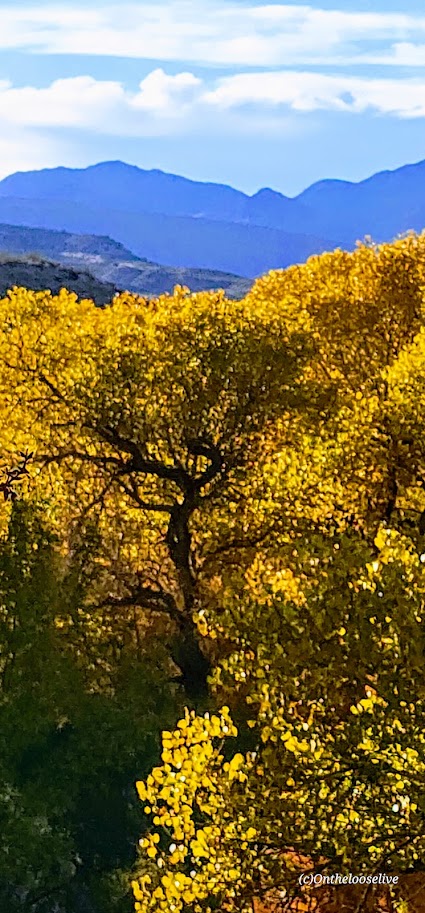
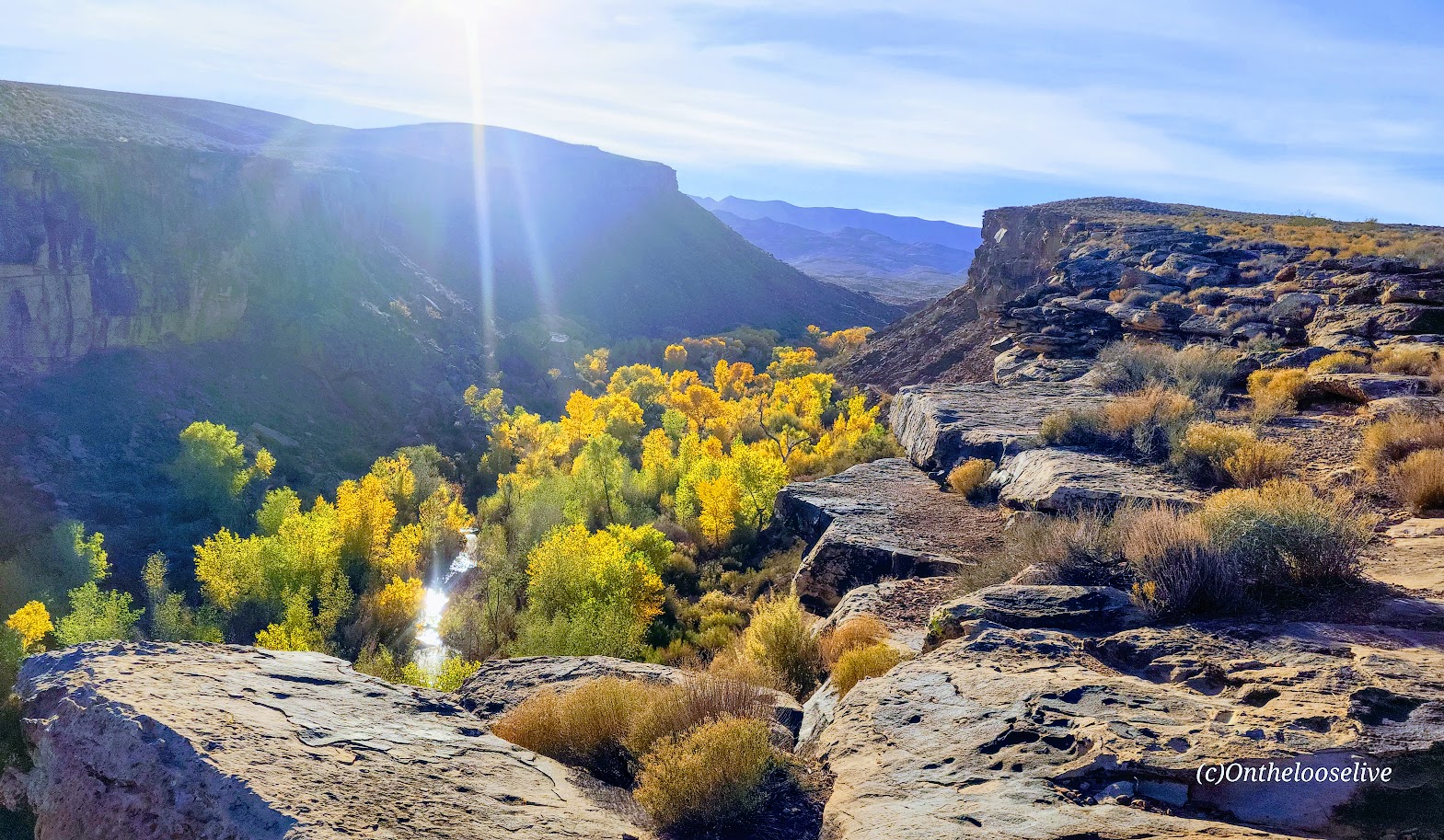
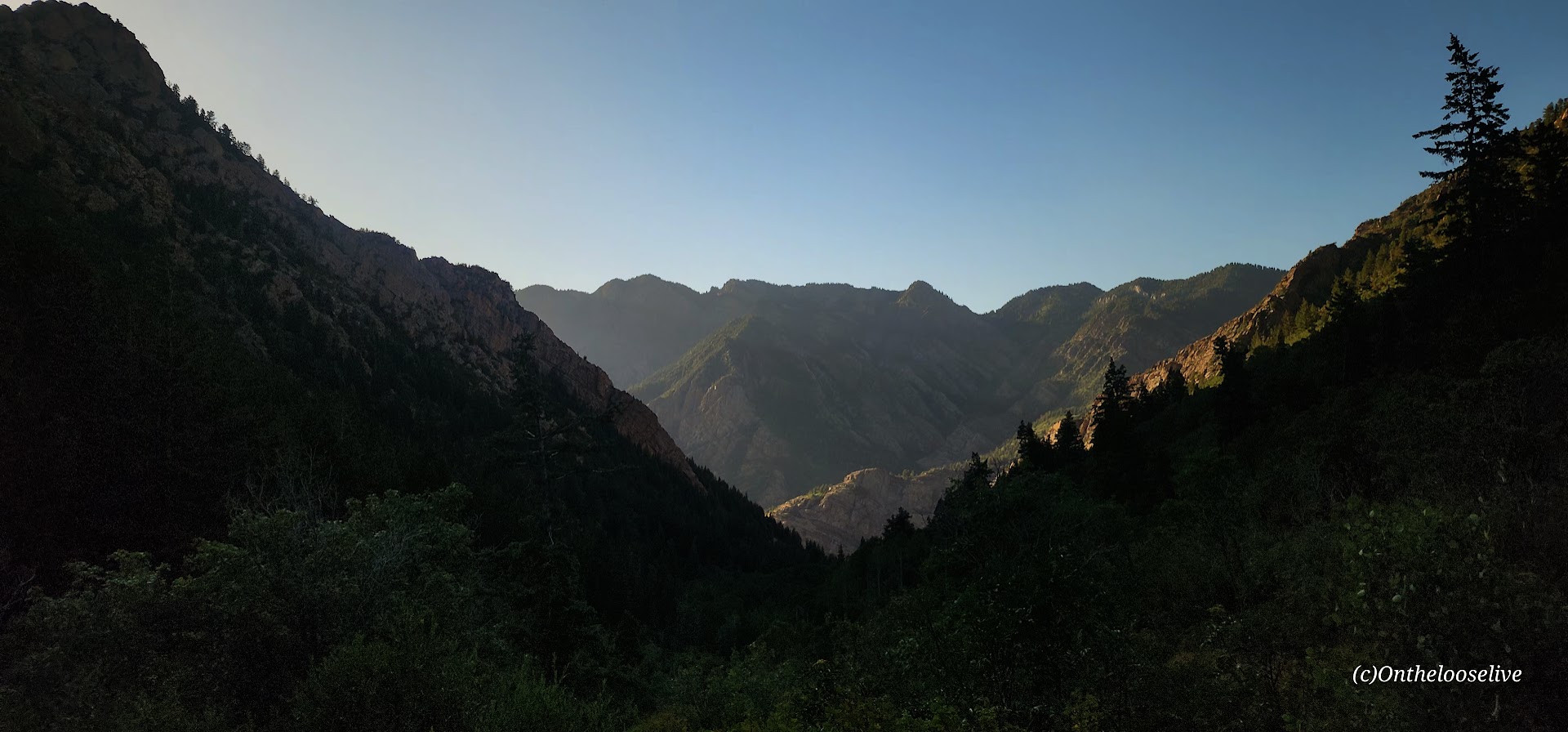
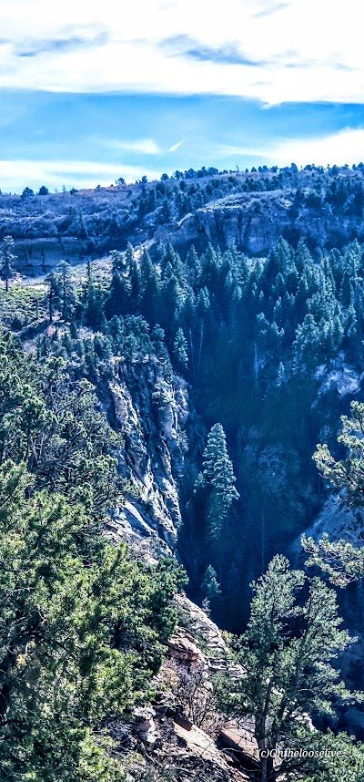
After a mile or so in, stop and look back for a glimpse into a dark canyon below.
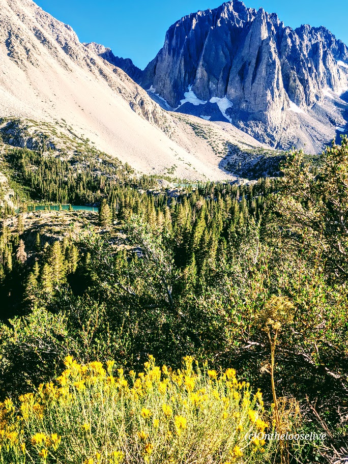
As you continue along the trail, you’ll be treated to distant views of Zion, but don’t forget to watch your step as you descend the rocky trail into the lightly forested valley.
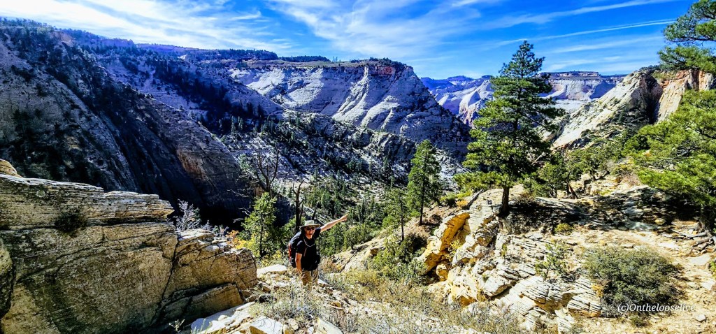
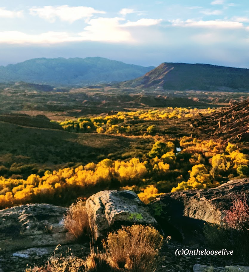
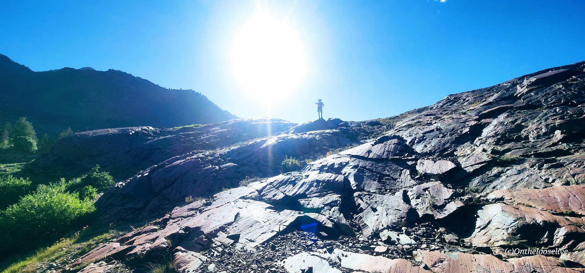
After reaching the other side of the valley, the climb will begin in earnest along the remnants of a concrete trail, zigzagging up to higher ground. It’s a friendly grade and easy terrain for fast hiking or trail running. It’s reminiscent of Walter’s Wiggles on Angel’s Landing, but the big difference is that you’ll likely have it and most of the hike from Stave Springs all to yourself!

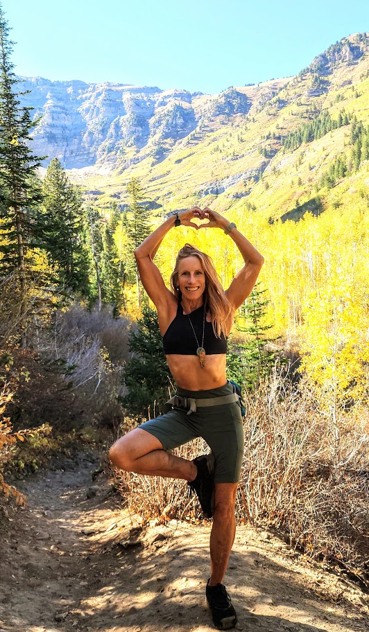
This was my favorite part of the hike—a great workout with great scenery! (The picture above was taken on the return trip down.)
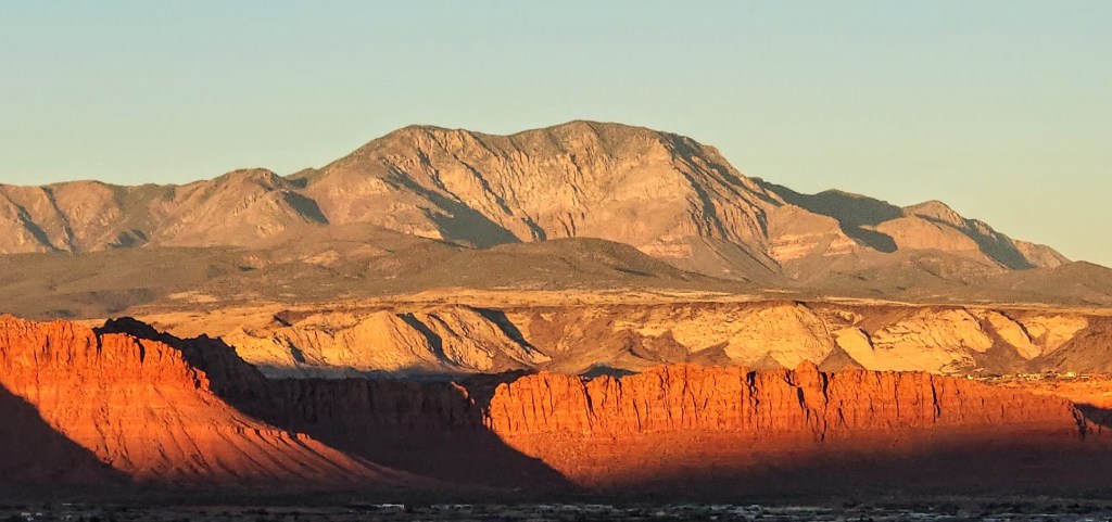
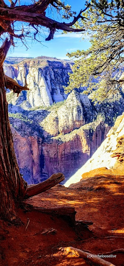
Once you reach the zenith, the views into Zion Valley are spellbinding, but you’ll want to keep your eye on your footing as you traverse along the slim cliff rim. (If you’re subject to vertigo and have a strong fear of heights, this might not be the hike for you.)
As you approach Observation Point, you can see Angel’s Landing below and across from you, a very cool perspective! This hike doesn’t have the rugged, chained, cliff-hanging social media over-posted appeal and crowds, and that’s exactly why it appeals to me.

Looks like angels are landing on Angel’s Landing. The picture above is taken from the trail along the rim. How dangerous is it? Might depend upon whom you’re with… In 1997, James Bottarin was accused of pushing his wife, Patricia Bottarini, off the cliff to her death here. Choose your hiking (and life partners) carefully!
Yes, Observation Point Views are grand, but in my opinion, they are no better than what you see en route, so you can always skip the last 1/2 mile or so if you want to skip the crowds.
There are two downsides: one is the long drive to reach the remote Stave Springs Trailhead, which is actually an upside, as it keeps the humans away. The second is the crowds you’ll encounter at Observation Point, who have taken the easier, shorter, less engaging route from East Mesa. It can be a shock to the system, especially after enjoying the splendid solitude of the Stave Springs route. Select the hike that suits you, but please note that both trailheads have limited parking, so arrive early to secure a spot.
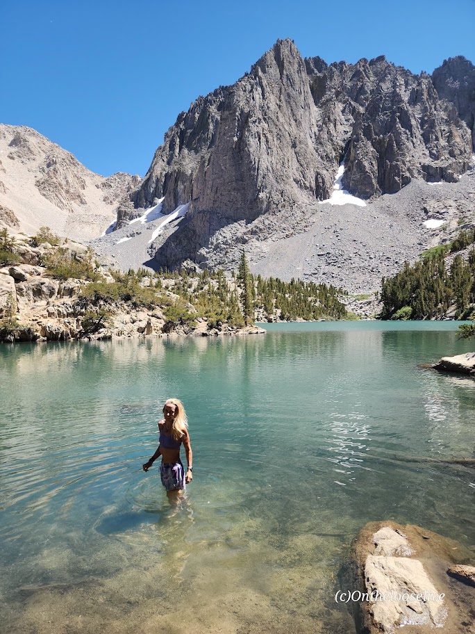
If you’re lucky, you might encounter some of the locals.


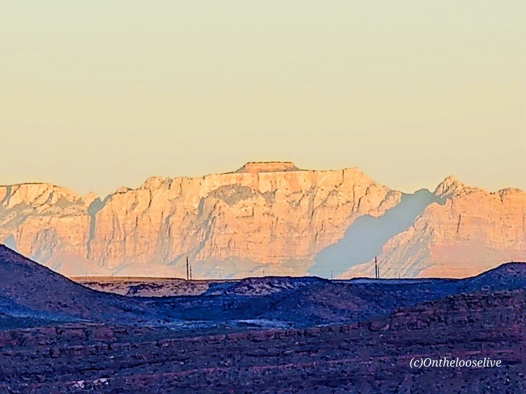
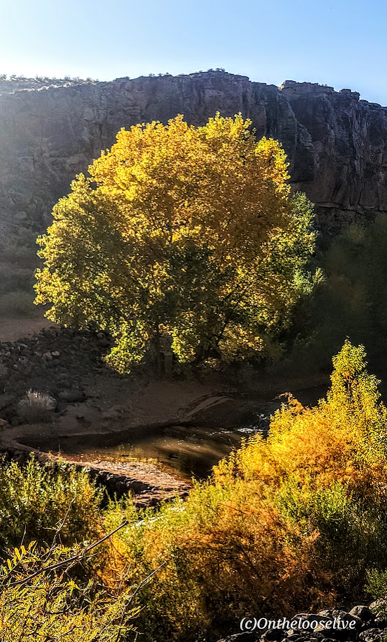
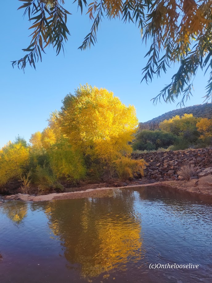
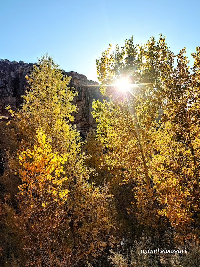
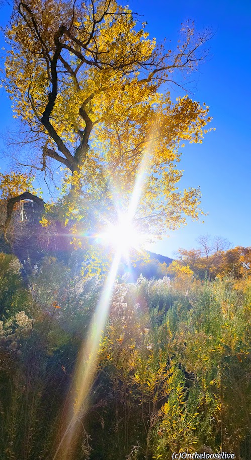
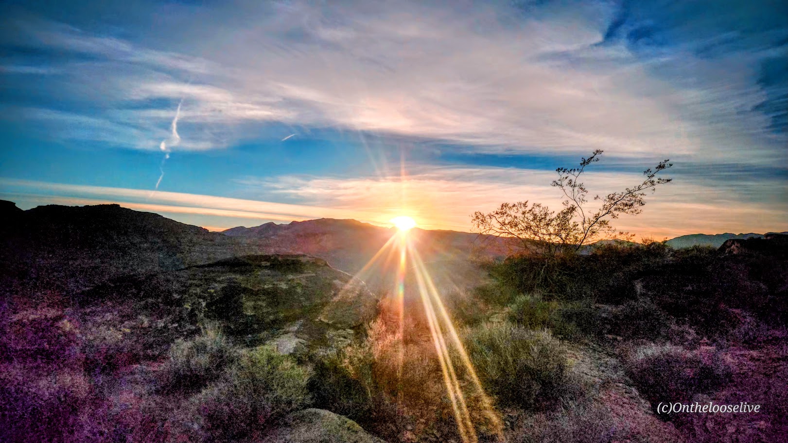
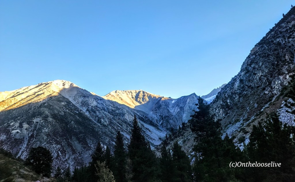
Driving back through Zion and capturing golden light is always a delight.


Getting there: Use the Zion Ponderosa Ranch Resort address for your GPS: Twin Knolls Rd, Orderville, UT 84758. Once there, signs will direct you to the trailhead. It’s a gravel road with a couple of rough spots by the small parking area. High clearance recommended.
Happy Trails!