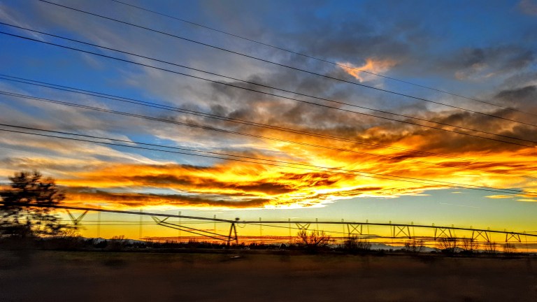
If I can’t be on the loose in the wild somewhere, I usually commemorate New Year’s Day by giving myself at least a half day of vigorous nature time. (It could be trail running, surfing, hiking, biking, rollerblading, swimming, or any combination.) With “base camp” in Southern California, it usually means I get a crisp, bright, sun-shiny day in which to play. This year, I had some physical downtime that interfered so my celebration was delayed until yesterday. It was one of those splendid, crystal clear, high- resolution, after the rain kind of days that puts a smile on your face. The air smells so fresh and sweet, you can’t get enough. Precisely what I needed after 17 days of relative inactivity and indoor imprisonment.
It’s amazing how good it is to move freely outdoors after any amount of downtime – no matter the length or reason. This is what I am most grateful for and what I live for – the simple, primal pleasure of my body in motion out in nature.
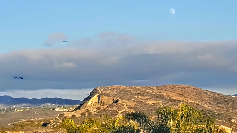
While my body is still telling me to “take it easy”, I wanted to get my heart rate up just a bit so I pulled my mountain bike out for a short spin on the trails in the Calavera Nature Preserve. (And yes, I am spoiled to have this little gem in my backyard.) Not by accident mind you – it was one of the top 3 reasons I chose to live in this area.) Granted, the trails here can be a bit gritty, and there’s some rocky, rutted single-track and even nasty wide-track stuff that I can’t make on a mt. bike. Nevertheless, it’s a slice of nature in N.County , San Diego, a small habitat for many critters (49 bird, 10 mammal and 7 amphibian/reptile species) and a haven to two-legged critters like me who need a quick nature fix close to home.
A little about Calavera Hills.
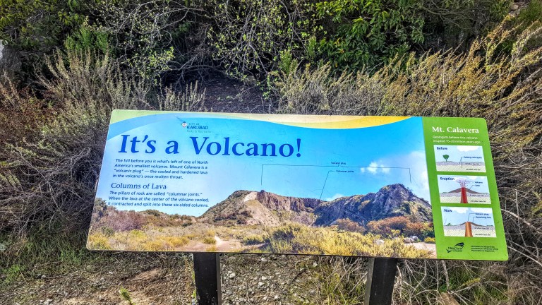
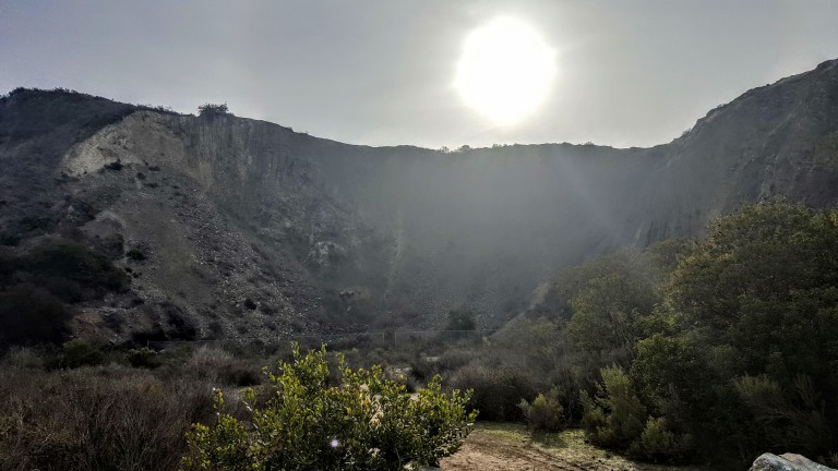
According to some sources, this is one of only three volcanic plugs in Southern California. From the early 1900’s until ~1930, the area was mined for gravel, leaving a pocked and scarred West face.
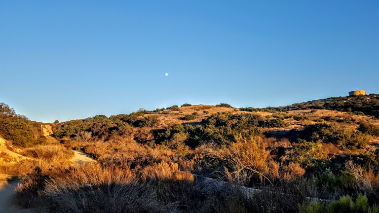
Don’t expect well-marked trails, but you can easily navigate by the 3 landmarks – the lake, the top of the Mount, and the Water Tank with the new high school below it.
If you’re hiking, biking, or running and want a good workout with some great views, go for both “heights”. If you’re a masochist for hills, there’s a brutal fire road that runs around the back rim. It’s punctuated by a half dozen or so steep rocky downs that flip in a matter of feet to fierce climbs. Guaranteed to get your heart rate up, up and over your comfort zone. Otherwise, there’s plenty of trails you can link together for some mileage that are flat or just a little rolly with a mix of easy to slightly technical. There’s fun discoveries for kids, including a cave, the lake itself, cairns, a stone labyrinth, a funky memorial, (so much for leave no trace), a hidden wooden bridge, and more.
How did you commemorate the New Year?