Distance: (Choose your own adventure) to the Arch ~7.5 one-way, Coyote Natural Bridge ~10 miles one-way, ~11+ miles Swiss Cheese Falls
Difficulty: Easy via Hurricane Wash out & back, other routes are more challenging
Elevation Gain:~591 FT
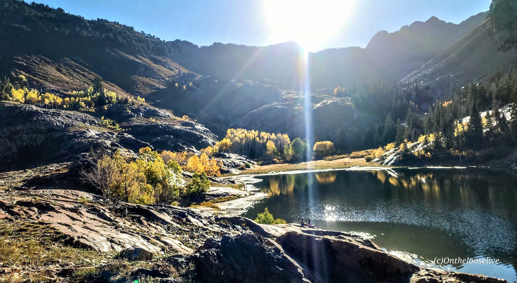
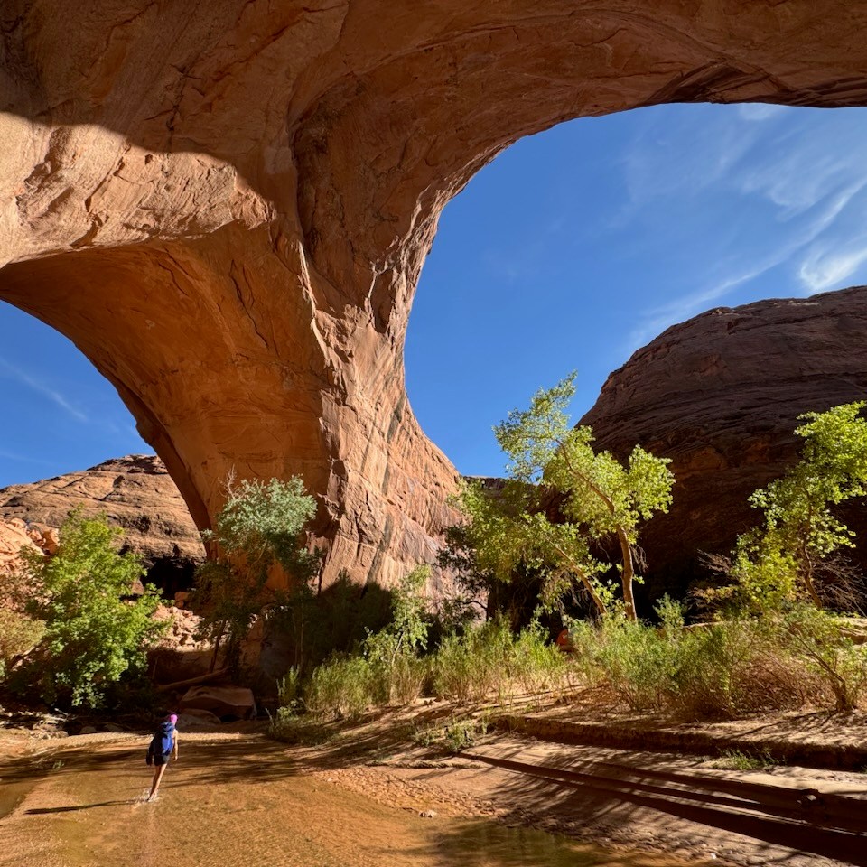
I chose the easy way to the arch via the Hurricane Wash Trailhead as I was testing my new backpacking gear. As the trail name suggests, you hike through a sandy, rocky wash for about 4.5 miles. Beyond that, you enter the river canyon, encountering shallow water crossings (inches deep and 6 feet wide in spots), dodging quicksand, and bushwacking through overgrowth and reeds. Gradually, you begin to catch glimpses of the towering red walls, and the scenery becomes more compelling, distracting you from the slog portions of this oft-proclaimed “epic hike.”. In about ~3 miles you reach the spectacular Jacob Hamblin Arch. I


If you venture beyond the arch another 2.5 miles or so to the right, you’ll come upon Coyote Natural Bridge, and beyond that, “Swiss Cheese Falls” and, just beyond that, a lovely water pocket/pool area—an unexpected highlight. Normally, it would have called for an immersion, but I had to skip it due to fleeting daylight and temperature considerations. Next time!


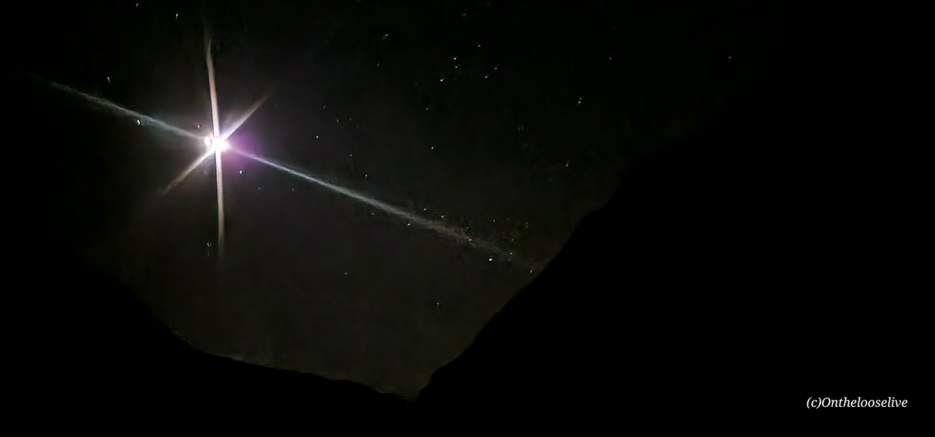
I retraced my steps back to the arch and a couple of miles further and set up camp for the night. The goal was to shorten the next morning’s hike out, as Golden Cathedral was on the agenda for the afternoon. It was lovely to sleep under the stars with the bright, beautiful moon watching over me.


Getting there: Head east from Escalante, UT on Highway 12, past mile marker 64. Look for Hole in the Rock Road, also know as BLM 220, on the right and take it for~ 33.8 miles to the dirt trailhead parking lot. 4-wheel drive with high clearance is highly recommended; this road is rugged and notoriously washboard!
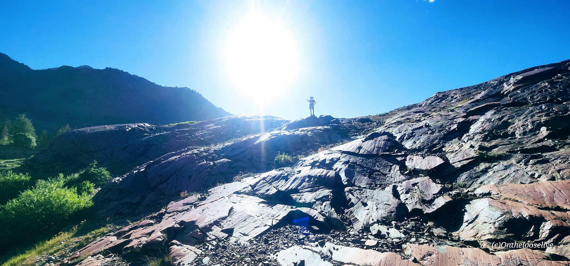
Notes: There are other more interesting/ challenging routes to the arch, namely, “Sneaker” and “Crack-in-the-Wall.” Now that I’m comfortable with my gear, I’ll give the loop a try next time, I might do it as a day hike, tbd. Stay tuned for the gear report as well. Always bring ample water, even the cooler seasons. My water filter clogged, but I had ample water reserves and a lifestraw just in case.
Happy Trails!

Did you know? Onthelooselive offers yoga and hike retreats, as well as adventure itineraries to help you get the most out of your Utah adventures!