Elevation Gain: ~2,800 FT (Evenly distributed across the 3.5 miles.)
Difficulty: Moderate +/-, depending upon your fitness level
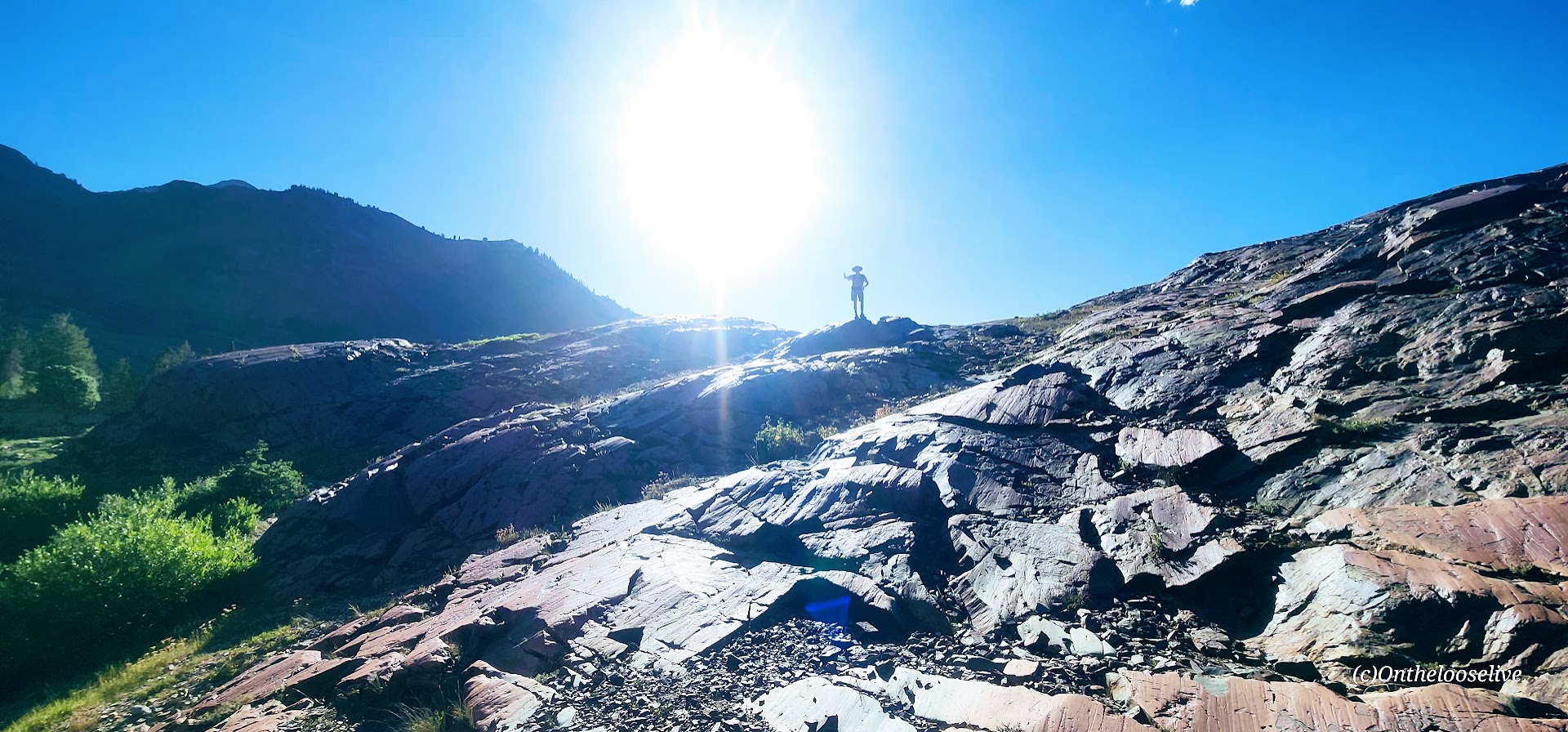
Known as one of the best hikes in the Twin Peaks Wilderness Area, Lovely Lake Blanche, with its dramatic granite spire backdrop (Sundial Peak), has an allure of its own. Hence, its well-documented, high-profile social media status and popularity.
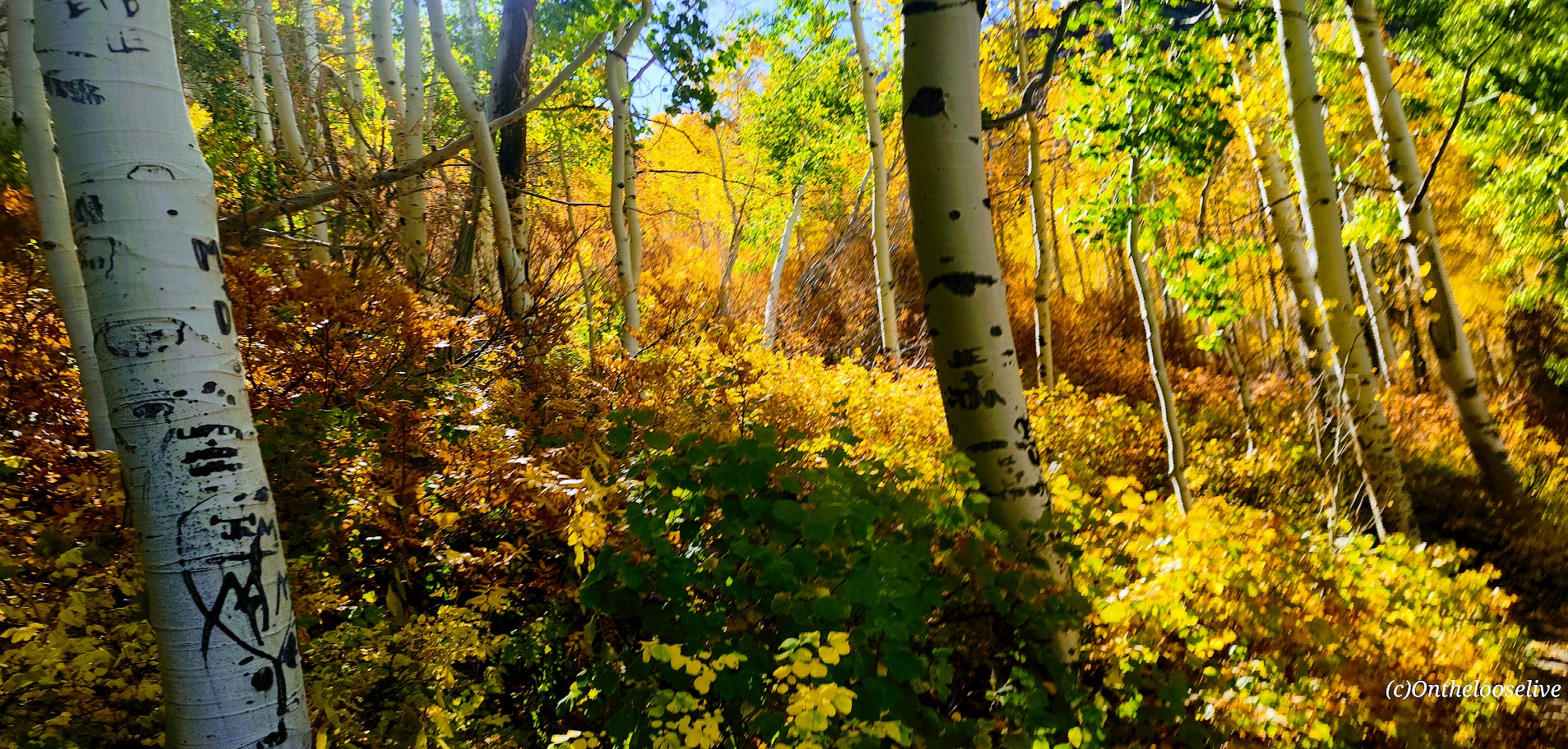
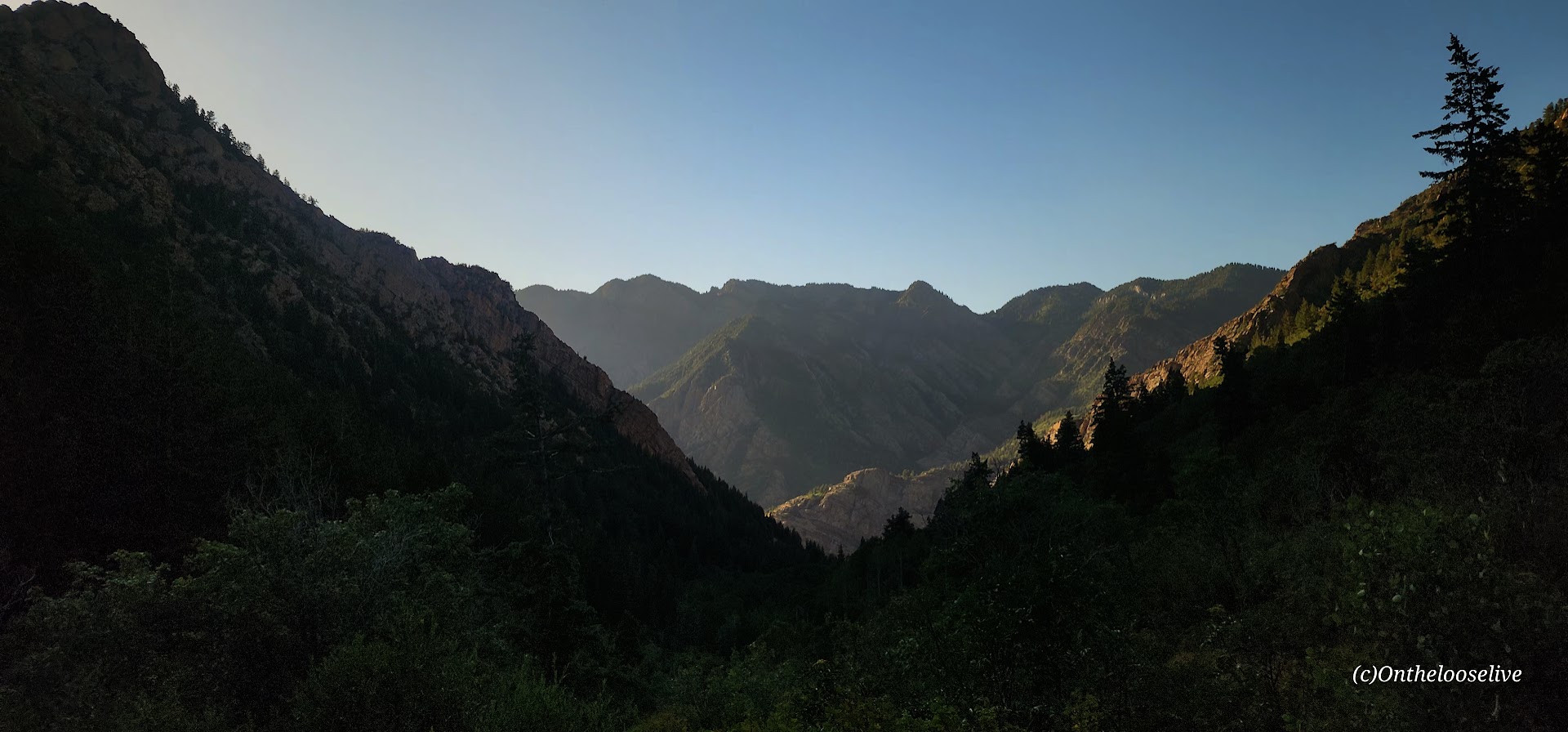
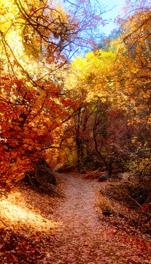
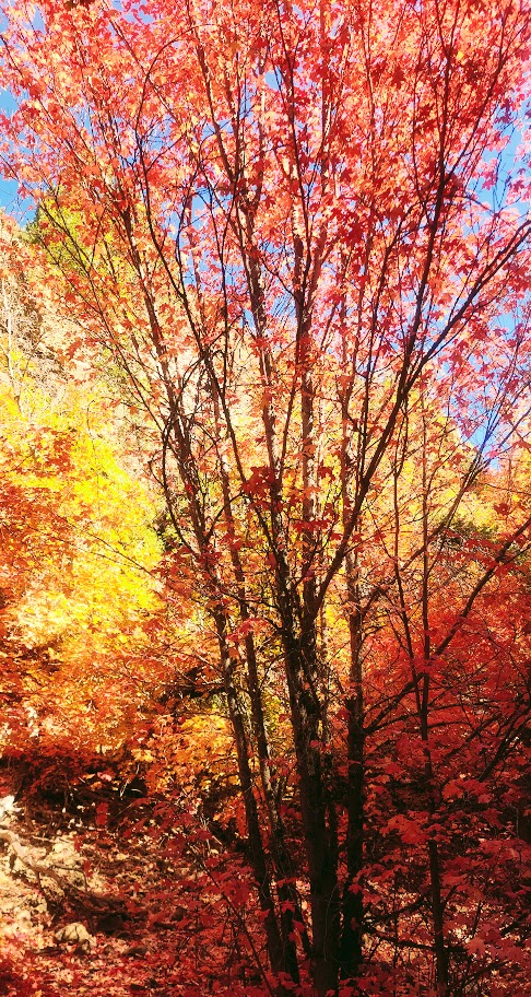
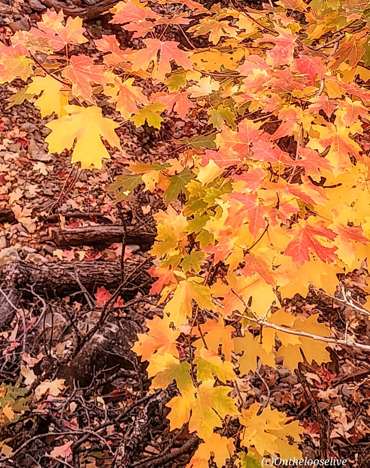
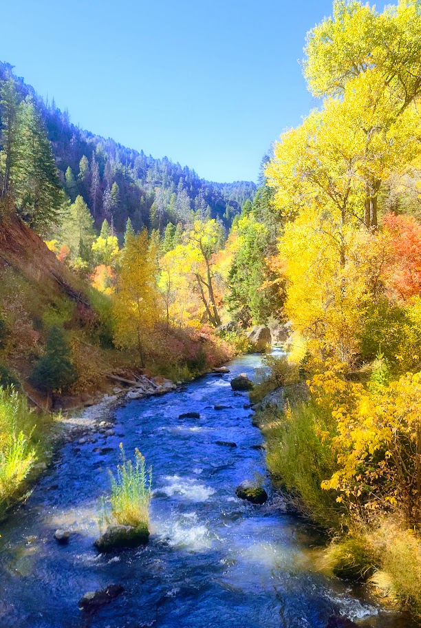
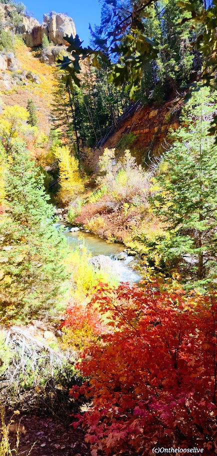
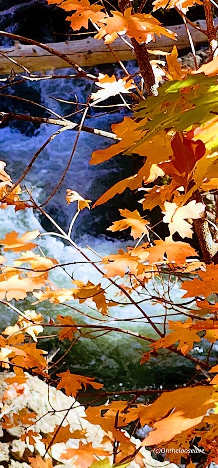
Begin your hike along the rushing creek on your left and make your first right onto the Lake Blanche Trail. The climb is gradual and consistent, with colorful foliage (in the Fall) and peak-a-boo, foreshadowing views of Sundial Peak up ahead and down the canyon to the Great Salt Lake Valley to the West. I kept waiting for the climb to get steeper as I’d read reports that this hike was “challenging.” Perhaps I was just transfixed by the scenery, as you’ll see why.
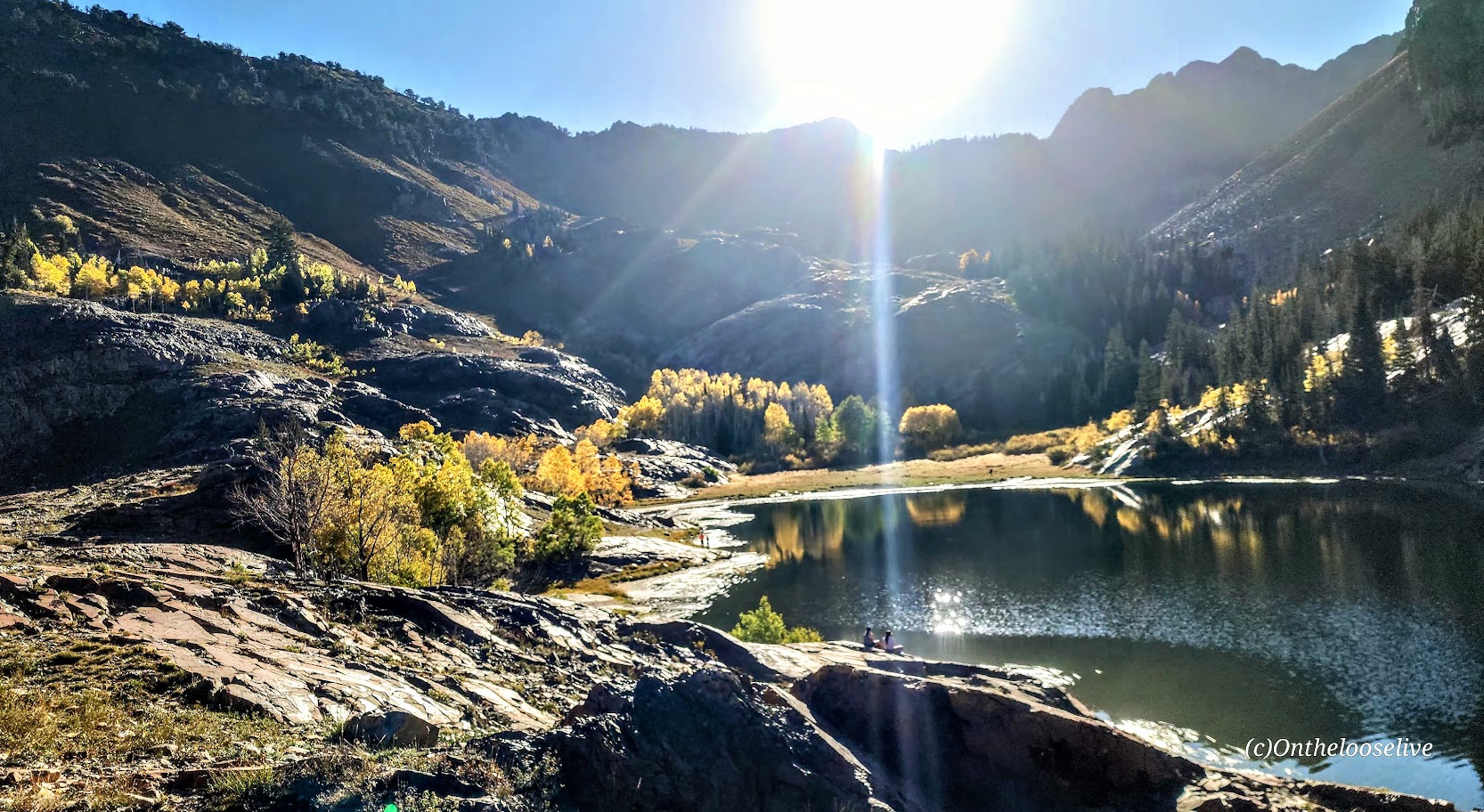
Lake Blanche and its smaller sister lakes, Florence and Lillian, sit at 8,888 feet. The lakes were a bit low but still high on the beauty scale. While it’s a popular hike, there’s plenty of room to find your zen once you reach the lakes. Just keep strolling past Lake Blanche, where most people seem to congregate.
There’s an off-trail hike up Sundial Peak; I’ll have to try it next. Unfortunately, I didn’t have time this time.
I revisited in late July and just missed the wildflowers! Must go earlier next year. This time, I was running short on daylight, so off-trail exploration is still to come.
Directions: Take Big Cottonwood Canyon Road to the Mill B South Fork Trailhead. The parking lot fills FAST as in FULL at 7 AM on a Saturday.) Parking is allowed along the road, but that fills quickly, too!
Notes: Unfortunately, dogs and swimming aren’t allowed due to the area being a protected watershed.
Fifth Water Hot Springs has been on my radar for years. I’ve seen the gorgeous pictures on IG and FB, but I knew the experience would be more like an “attraction” than a hike, so I haven’t gone out of my way to check it out. On this adventure trip, it was on my way with daylight to burn. While its popularity is a major deterrent, I decided to brave the “crowds” and finally see it for myself.
I arrived midday. (Yes, it was a mistake, but it was either now or never). (If you can, go at dawn.) The parking lot was full. People were parked at risk along the roadside. Luckily, I found a pullout a mile back and didn’t get towed or ticketed. (However, I did see a tow truck getting busy on the way back.)
Lots of people (too many) on the trail and in the pools, as you’d expect. It definitely has more of a water park vibe. I guess that’s to be expected with an easy, short, 4.5-mile roundtrip hike near a big city (SLC).
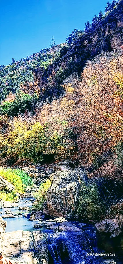
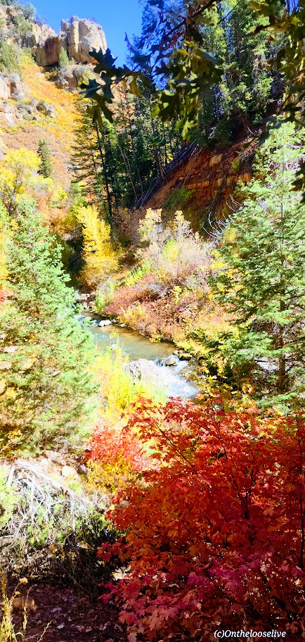
The trail to the pools along the stream is especially lovely in the Fall.
As you get closer, there’s a slight smell of sulfur that seems to dissipate when you reach the pools.
The waterfall at the end was a nice surprise.
I satisfied my curiosity. Would I go back? Only if I can make it to the trailhead at dawn.
Notes: The road is closed in the winter. Info here. Harmful bacteria may be present in the hot springs. Info here
Getting there: Take the US-6 towards Price and make a left on Diamond Fork Road.
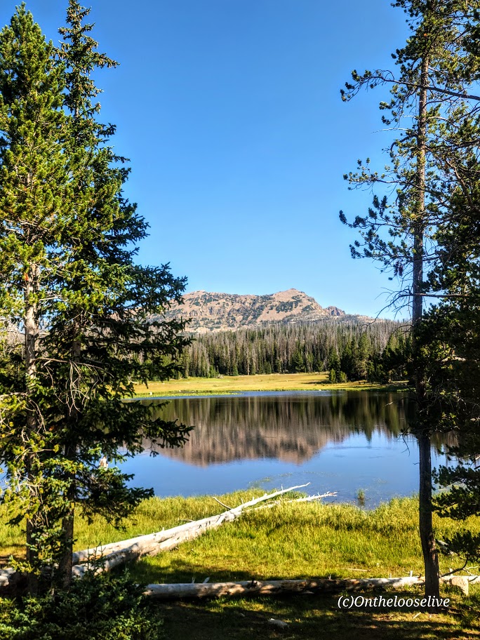
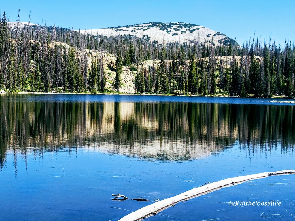
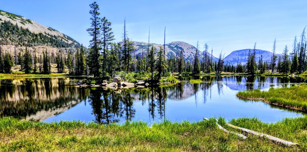
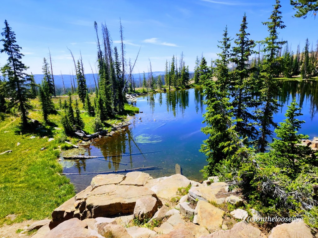
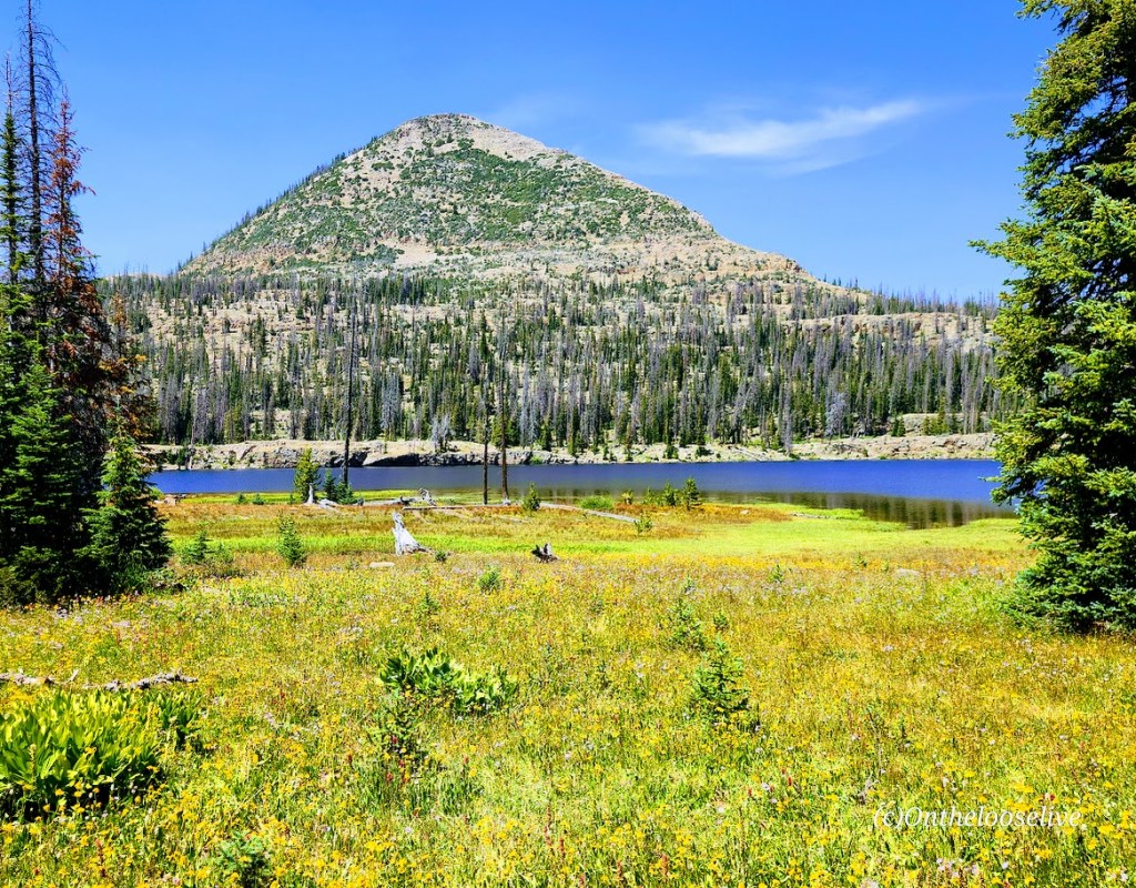
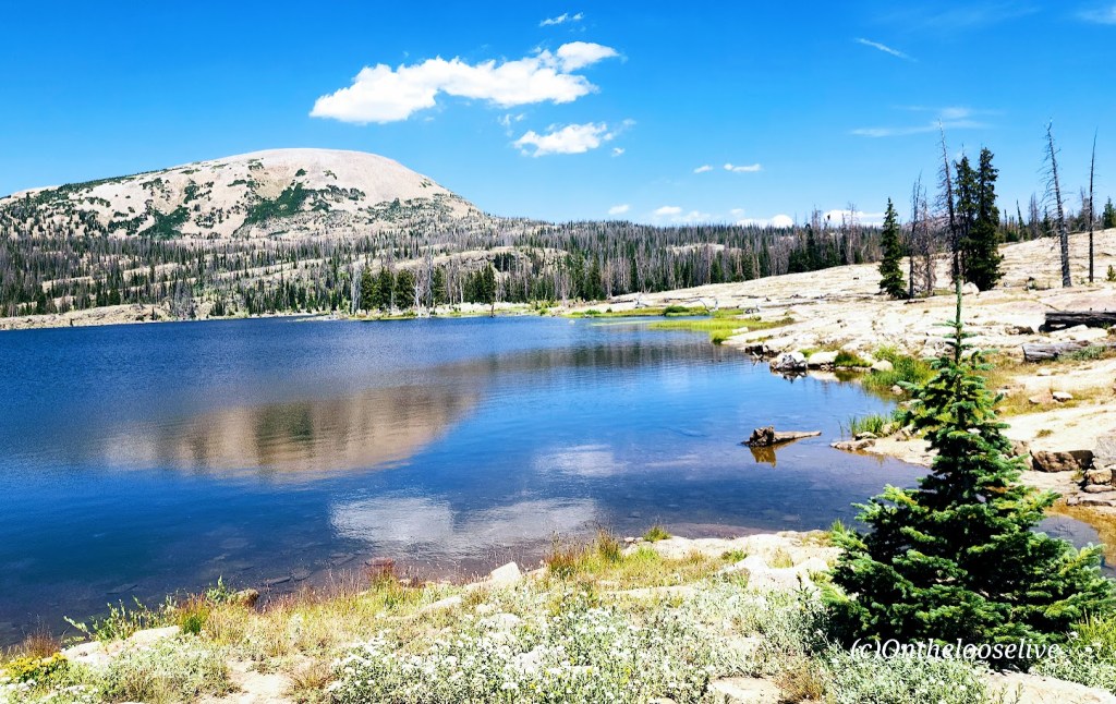
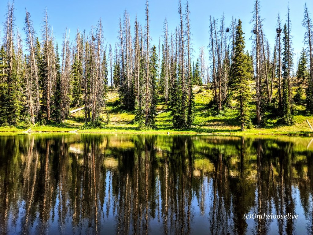
If you like alpine lakes and friendly trails, you’ll have plenty to choose from, starting at the Crystal Lake Trail and hiking in virtually any direction. Forget peak bagging for the day and enjoy some lake hopping instead. This area wins my record for most lakes and ponds in the least mileage. The more miles you cover, the more lakes and ponds you’ll see in this dazzling area of the Western Unitas. I combined 2 loops going in opposite directions and visited a mind-blowing 32 lakes and ponds in 15 miles—yep, that’s a whopping 2 sparkling lakes per mile. (But whose counting? LOL, the Garmin, thank goodness, as I lost track!) Despite the parking lots being jam-packed, surprisingly enough, the trails weren’t overrun. (Island Lake had the most people—big family groups.) Overall, I saw more lakes and ponds than people—now that’s a perfect scenario.
Distance: Create your own lake-hopping adventure.
Difficulty: Easy to moderate+, depending on your fitness level and altitude acclimation
Altitude: All hikes in the 10k ft range
Getting there: Milepost 25.5 off of the Mirror Lake Highway. (This highway is closed from late October through Memorial Day.)
Notes: Parking and overflow lots fill fast in peak season, especially on the weekends. There are several campsites in the area, but most require reservations. Boondocking and backpacking are options.
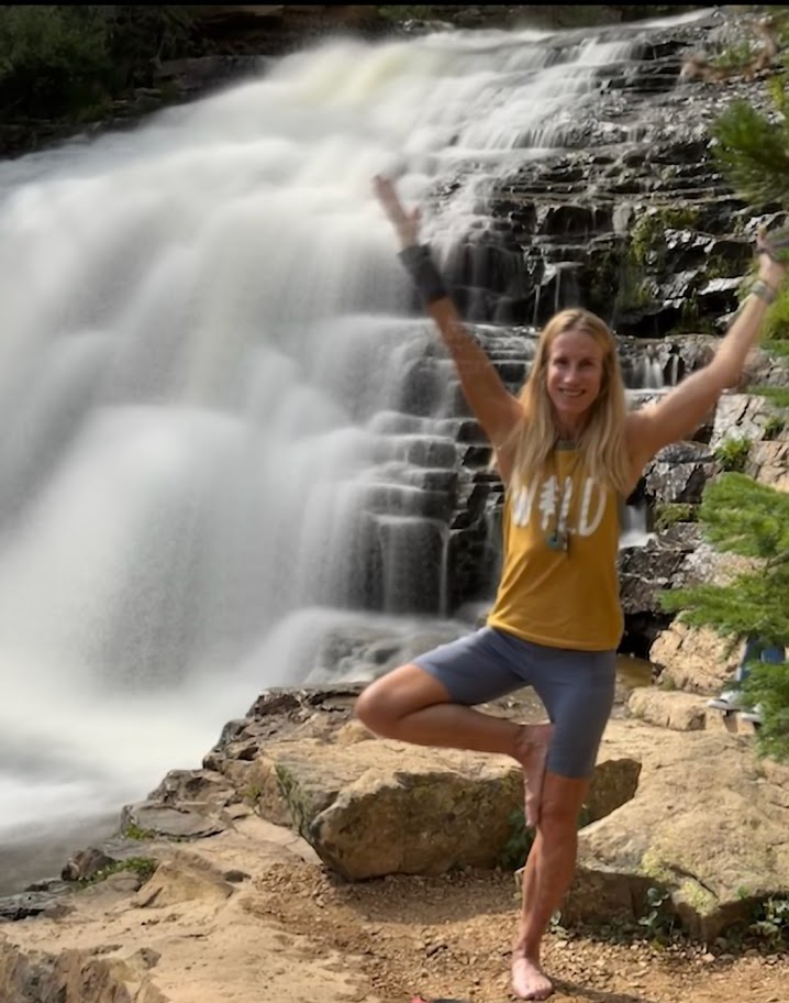
Just when I thought the scenery along Mirror Lake Highway couldn’t get better, I saw the sign for Provo River Falls and turned off (<15 minutes east of Kamas). This enchanting roadside waterfall has three tiers (upper, mid, and lower), lovely terraces, and multiple cascades. It’s a must-stop if you’re driving Highway 150. There’s a short paved path alongside the 3 waterfalls. The water temperature ranges from 35 to 55 degrees so the mist from the waterfall is wonderfully refreshing, especially on a hot day.
Difficulty: Moderate to hard, depending on your fitness level and acclimation to altitude
My second splendid summit of Mount Timpanogos (11,753 ft) was via the Timpooneke Trailhead. (And yep, I’m sticking with the same title. Mount Timpanogos simply has ALL the ingredients for a great hike. I’ve seen Mt. Timpanogos from both sides now (Aspen Grove Trailhead and Timpooneke), and both routes are gorgeous. Mount Timpanogos still ranks as the best US hike I’ve done.
Trail Notes: Keep your eyes open; at Mile 1, the trail takes a sharp right turn. (I kept going straight on what appeared to be a wide, well-traveled trail that stopped short across a stream. I ended up scaling a waterfall avalanche chute before it dawned on me that I was on another one of my “off trail explorations”—yep, I know, lol. I later learned I wasn’t the only one and suggested to the ranger that a sign might be advisable.)
At the 3-mile mark, a “snow bridge” had collapsed across the middle of a waterfall, requiring careful traversing of the slanted, slippery snow field. The picture below may not look too treacherous, but there is a waterfall crevasse directly under the snow. One slip could be a big, potentially final slip if you know what I mean.
Crampons would help, but given the onslaught of the heat wave we’ve been having, this section won’t be an obstacle for long. Other than that, the trail is well-marked until you reach the Emerald Lake juncture. The Summit Trail (054) is the unmarked (I’m not sure why) trail to the right.
Cons: This route seems busier/more crowded. (I was there on a weekend. I’m sure it’s better on a weekday.) You may want to challenge yourself with the extra 1k of elevation that the Aspen Grove route delivers.)
Pros: It’s easier—there is 1,000 feet less elevation gain, and a couple of miles shorter. Best of all, you completely bypass the tortuous snow and talus field that takes forever to painstakingly cross on the Aspen Grove route. (See picture below.) Footing is easy the entire way on the Timpooneke route perhaps that’s why it’s so popular with trail runners.
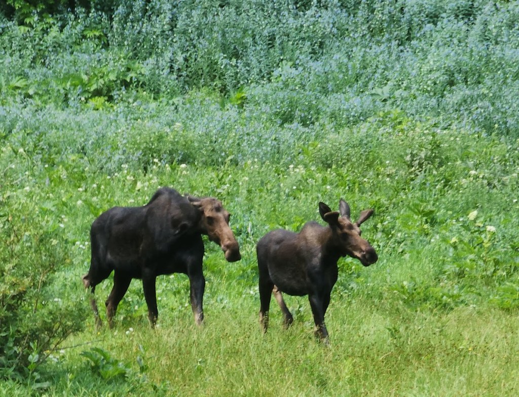
On the way up, you’ll go through what I’ll call “Moose Meadow,” where I saw the moose below with her calf.
You get a great “bowl” view of Timp’s peak above and surrounding peaks from the wildflower-filled meadow basin.
After which, the trail begins to climb in earnest to the Timp Saddle, where you’ll enjoy sweeping views of Utah Valley and the summit ahead. If you’re lucky, you may see grazing, napping, or salt-licking mountain goats along the way. Give the mountain goats space and respect. I(I have a great magnifier on my camera.) (While the goats look docile, they have been known to kill loose dogs that harass them (3 loose dogs were killed by goats last year) and gore people who get too close.)
I saw several off-leash dogs—doesn’t seem prudent! I’m guessing the moose wouldn’t take kindly to the loose dogs, either.
To reach the summit, mild scrambling is required. The section is short and nontechnical, but it is not for the faint of heart or those scared of heights. The panoramic views are tremendous, but it was a bit hazy when I summited—perhaps due to the wildfires in the surrounding areas.
Caution: This hike involves significant elevation gain and hiking at elevation. Be aware of the signs of altitude sickness. It can sneak up on you even if you’ve never had it before. It happened to me recently on Wheeler Peak. On the way down Timpanogos, a teenage girl was in a fetal position by the trail, holding her head. Her family had called for rescue. Hopefully, she’s okay.