Spring fever anyone? The air is so crisp, clean and fragrant with the pungent fertile earth and the scent of jasmine and citrus blossoms. And the hills are abloom with wildflowers already. The plan was to take a lazy Sunday afternoon stroll / trail run at nearby Santa Margarita River Trail. When we got there, we discovered that the area was closed due to recent heavy rains. As we drove along De Luz road the lush hillsides beckoned to me. “Let’s just run up this first hill”, I suggested. And we were rewarded with a mini-meadow sprinkled with California poppies and wildflowers. And then we climbed the next hill and so on. There weren’t any “Private property” or “No trespassing signs so we just kept going. Scrambling up through the bramble and brush until our car was a distant spec below. So on we went, bouldering up to the highest point on the ridge. It was exhilarating fun though my legs did sustain a few scratches…Once we reached the top, we looked for another route down. That’s when we came upon a hidden estate. We tried to traverse down another section, but the scratchy overgrowth was taller than we were. We ended up following a country road back down to De Luz and the car. A fun impromptu adventure that no doubt was more thrilling (and a better workout) than what we had planned. And my boyfriend, Ken, knows me by now, if there’s a hill around, I’m likely to find it and want to “check out the view from there”.
It was on this hike that I found that spontaneous stream for my nature mediation section.
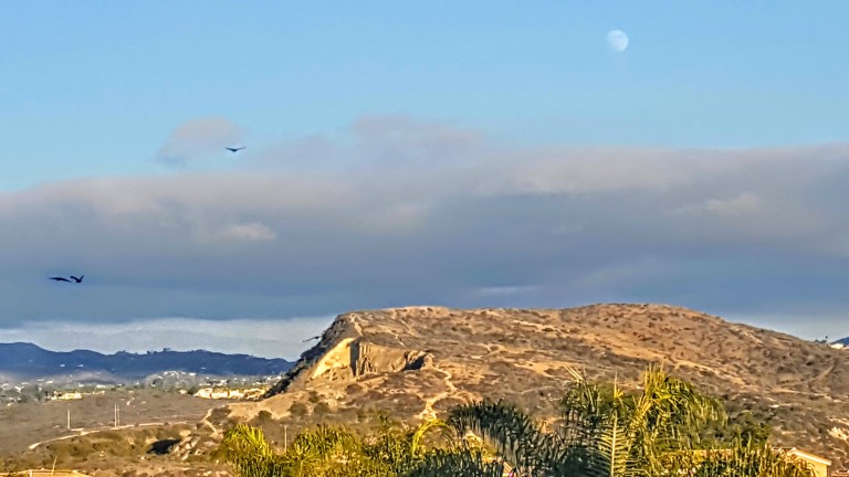
Here are a couple more pictures Ken took and the cactus bloom I almost forgot to add earlier.
Across the road from where we were is pristine fenced-off Camp Pendelton land. Oh, if only…