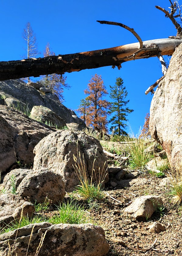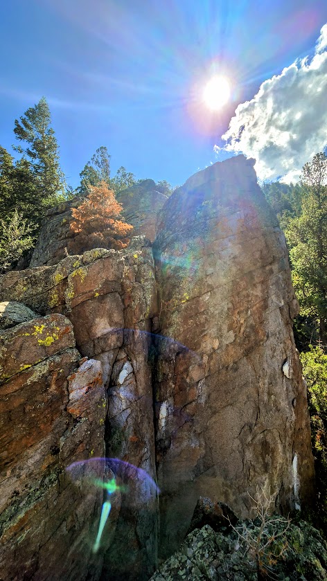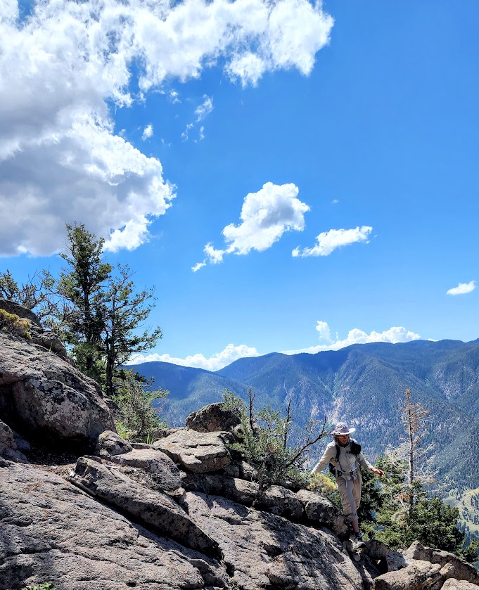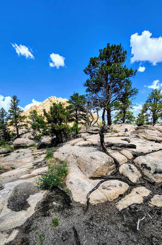
Zion’s Sublime Subway: Bottom Up—Is Tops!

Distance: ~9 mile round-trip (out and back)

Elevation: ~1900ft

Difficulty: Moderate, depending upon your fitness level. (Zion National Park’s rating is strenuous.) Steep and exposed initial descent and return ascent, otherwise fairly mellow trail with lots of stream crossings / stream walking, some rock-hopping, and minor scrambles over boulders. (Good idea to have some longer hikes with some elevation challenge under your belt before attempting.) Since footing can be precarious at times, especially at the Subway itself, but also along the way, expect the hike to take longer than mileage would indicate. Also, you’ll want to take the time to savor the beauty that surrounds you.  Average hike times range from 5 to 9 hours.

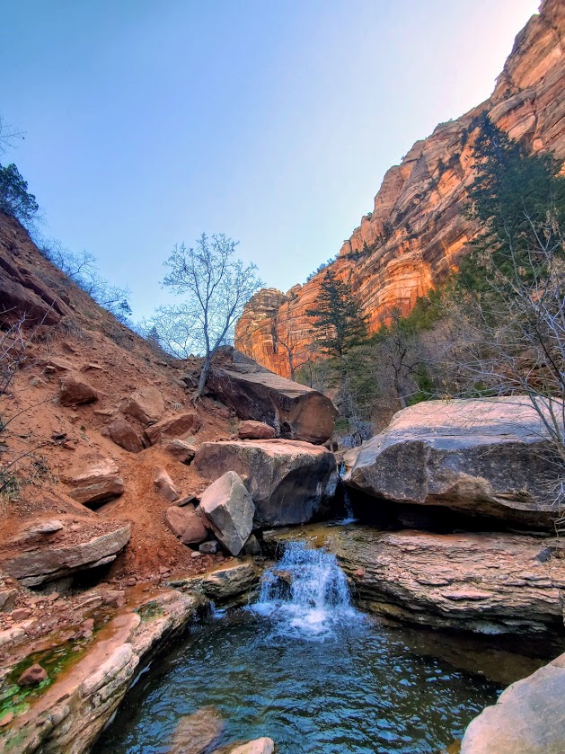
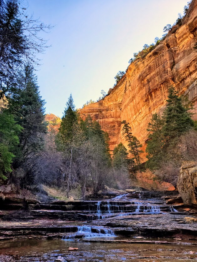
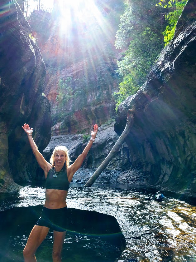
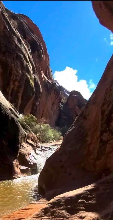
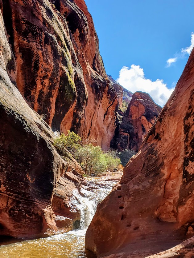
Definitely one of my favorite Utah hikes so far—epic scenery, waterfalls, the magnificent, iconic beauty of the Subway, and a solid workout.

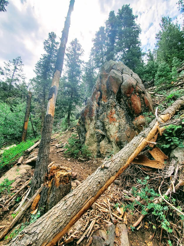
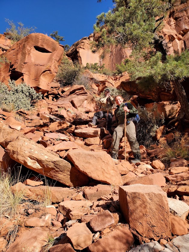
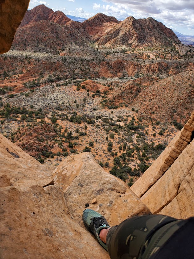
More than 1 of us accidently took the wrong “trail” down.  Not sure how that happened – maybe it was too early in the morning, and too much excitement. If it looks and feels like you’re navigating down a precipitous, vertical avalanche area —retrace your steps back to the trail and continue on. While the descent and ascent are steep, they are on a definite trail.

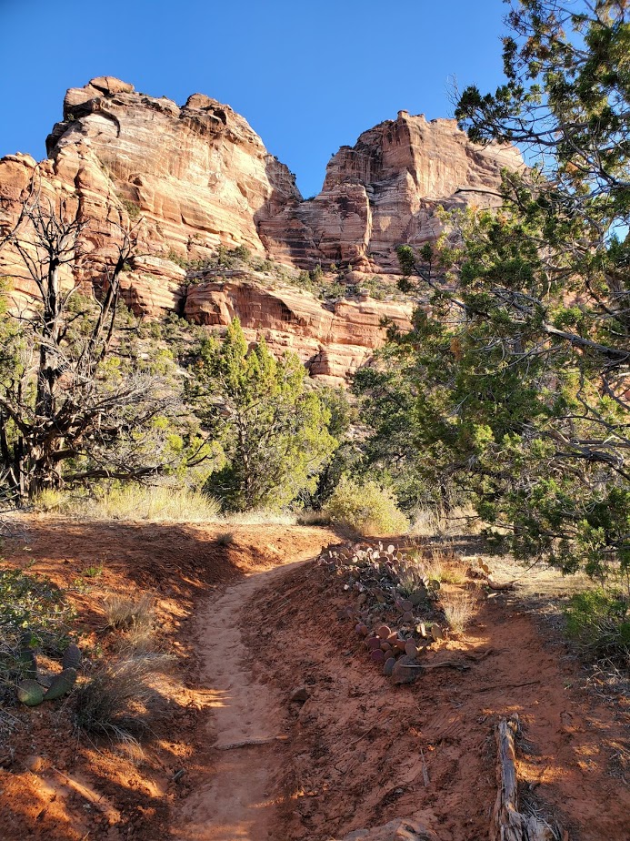
The hike description noted a strenuous and steep descent / ascent so we didn’t think we’d gone astray until we found the real trail (pic on right) on the way back.

Apparently, there are some dinosaur tracks just off the “trail” somewhere – their whereabouts remain a mystery to me. I’ll let you know if I find them on my next trip.

Keep your eyes out for snakes, toads, and trout.

And yes, there’s also a top-down route to the Subway that requires canyoneering, rappelling, and swimming. It may be in my future—will report back, if and when.

Heads-up:

  • Walking stick with a solid rubber end and grippy shoes highly recommended. (You’ll be traversing many slippery rock sections through the stream and at the subway itself. Be cautious – safe is better than sorry. Many helicopter rescues occur here. Don’t be one of them.)
  • Be aware of flash flood danger and heat exhaustion exposure. Get the weather report and double-check with rangers. I went in April and it was 90 degrees by midday—some fellow had heat stroke on the trail. (Bring plenty of water, a hat, and sunscreen.)
  • This is a day use only area and permits are required. An advance lottery system applies from April to October and calendar reservation applies from November through March. There is also a last-minute drawing and you can always check for cancelations day of—unlikely, but we met a couple who nailed both a same day cancellation opening for the hike and a campsite so you never know. (Permits are $15 for 2, $20 for up to 7, and $25 for up to 12 people.) Lottery, reservation, and permit details here.

Good luck – it’s soooooooo worth it!

Getting there: Left Fork Trailhead on Kolob Terrace Road

Happy Trails!

Yowza! Yant Flat! Leeds, UT

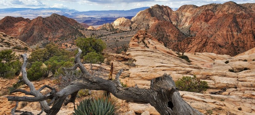
Also known as Candy Cliffs, this rocky wonderland is more than sweet- it requires a default to the overused superlative “EPIC” with an added “for sure”!

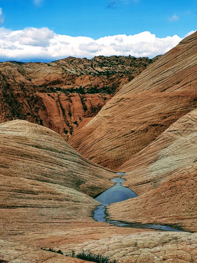
Only the first mile is a sandy trail, the rest is create your own adventure (at your own risk) across all types of fascinating colored and textured rock topography. Some steep, slippery sections… If you’re lucky, you might find the one crevasse that will take you down to the wash that you barely see in the distance way down below. Or like me, you may choose the wrong route and end up at a dead end, which could turn into a dead end in more ways than 1.

Length: 2-infinity miles

Getting there (4-wheel drive with clearance recommended): Cottonwood Springs Road in St. George to FR903

Notes: Would not attempt the drive or hike in the rain

For similar views at a slightly smaller scale and without the need for a 4-wheel drive, check out the Snow Canyon Overlook Trail

Ravishing (but overrun) Red Reef, Hurricane, UT

Short and splendid, this incredibly scenic area features a waterfall, a creek, a slot canyon, a cave, a mini-rock / rope climb, cliffs to scale—oh, my! So much is the span of a short out and back trail (2 miles total). It’s like a mini-Zion. The bad news is that it has the crowds to match. (Sigh.) (Reality pic is the last one in the slide show.) Thankfully everyone is respecting the natural beauty and leaving no trace. The good news is that solitude it just an upcliff scramble or mini-rope rock climb away…

My friend, Robin, easily managing the moki steps in the pics below – looks more treacherous than it is.

Beyond the Moki steps, you’ll find more scrambling “opportunities” and more great views.

Getting there: Exit 22 towards UT-228 N, right on old highway 91 to the Red Cliffs National Conservation area

Fee: $5

Happy Trails!

Red Cliffs Desert Reserve, St. George, UT

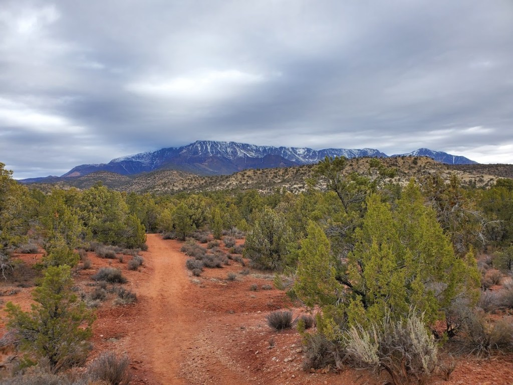
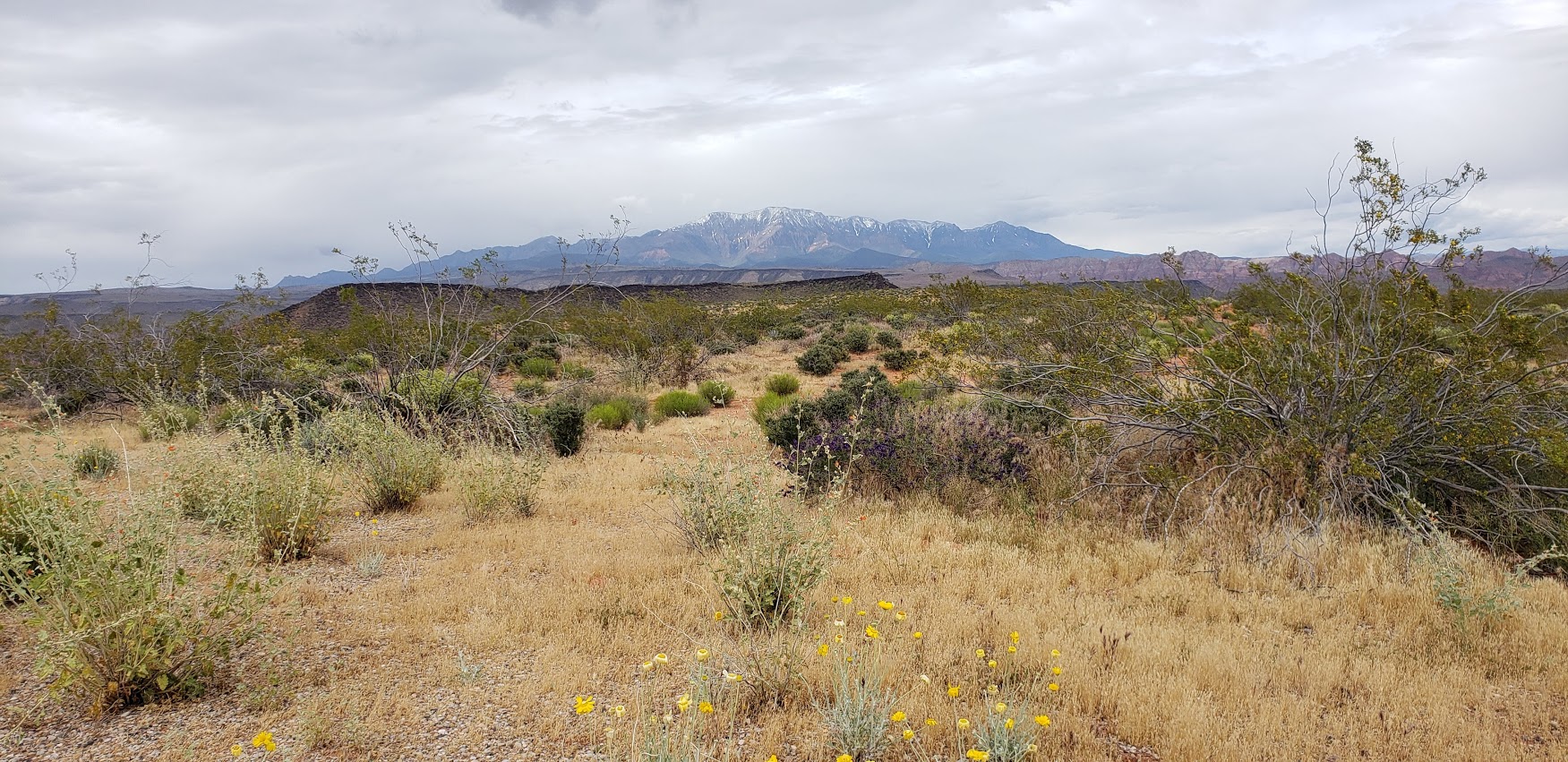
First stop on the Utah road trip after 6 hours cooped up in the car, the Red Cliffs Desert Reserve rolled out their welcome trails. Not a bad stop to stretch the legs for hike or a mountain bike cruise. This picturesque reserve with expansive views out to the snow capped mountain range is right next to town and boasts 200 miles of non-motorized trails. (Yes, that’s 200 miles so you can stretch those legs of yours to your hearts content.)

wildflowers Red Cliffswildflower close up red cliffsmtn vistas red cliffs

The reserve was established in 1996 to protect critical desert tortoise habitat form being destroyed by development. It worked. You’ll notice tortoise scat on the rocks everywhere. And if you’re lucky, you might see one.

desert tortouise 2

I only hiked a couple miles here, but look forward to coming back to explore more. Perhaps on 2-wheels next time…

Note: the trails can be hard to follow in this terrain so bring a good map or GPS if you venture out very far, and plenty of water, of course, as it’s all exposed.

Stay tuned for more Utah adventures: Scenic delights near St. George Part I: Gunlock State Park and Ivins’ Reservoir


Short Peak Scramble, Flinn Springs County Park, San Diego

On the way back from 3 Sisters Falls, we decided to add on a roadside, quickie hike in Flinn Springs County Park. The hike begins at the back of the park.

This small 40-acre park near Lakeside has 1 short trail that takes you up a consistent, steep incline to a great vista above Escondido and Lake Jennings.

Once you reach the saddle you can go east to reach a short peak or west to climb Silverdome Peak or south for Flynn’s Peak. I’m not sure which one we scrambled up, but it was definitely a scramble.

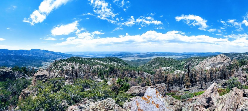
views from flinn

It’s rated as moderate, but if you are less than moderately fit, it’s likely you will suffer. (Especially if it’s a hot day as the trail is completely exposed.) That being said, it’s a good, short workout and “bun burner”.


ken
A little trail eye candy

I wouldn’t go out of my way for this one, but if you’re driving by and want a leg stretcher / burner—go for it.

There’s picnic tables and a lovely wood pavilion too.

Flinn Pavilion

Total distance ~<4.3 miles RT

Elevation Gain: 1,443 FT

Parking Fee: $3

Address: 14787 Old Highway 80, El Cajon, CA 92021