Lee’s Pass and the Kolorful Kolob Arch Trail, Zion Wilderness

Distance: 15 miles RT

Elevation gain: ~2K

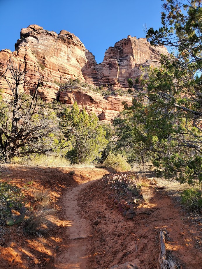
Difficulty: Moderate to strenuous depending on your fitness level, definitely a little longer than your standard day hike, mostly smooth, sandy terrain, great for trail running

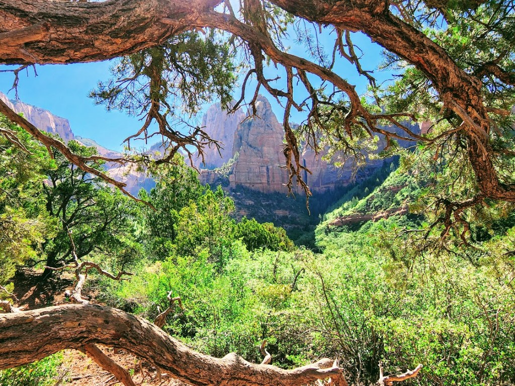
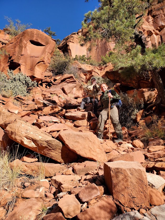
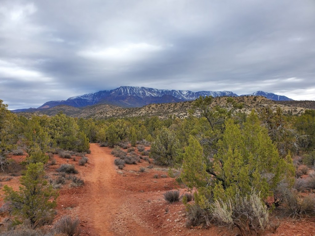
The trail begins at the Lee Pass Trailhead off of Kolob Canyon Road / Scenic Drive. You’ll drop quickly into the canyon (770 ft in .75 mile) and traverse through the forest on a gentle, sandy path for the first 4 miles or so.

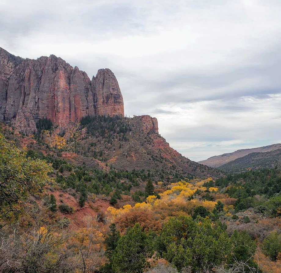
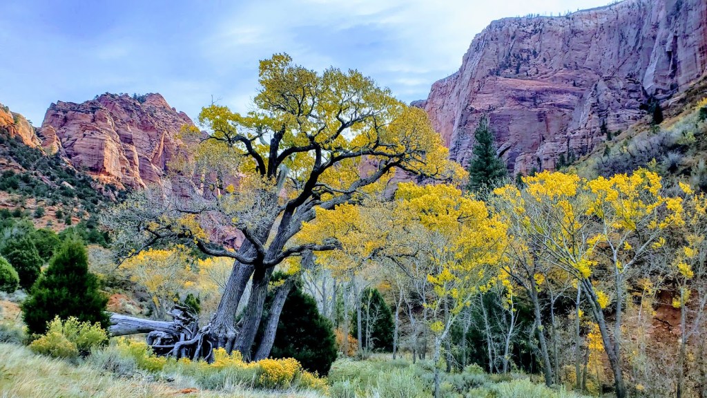
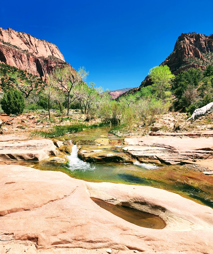
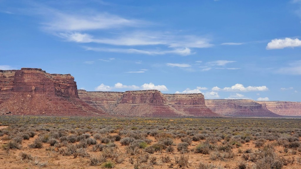
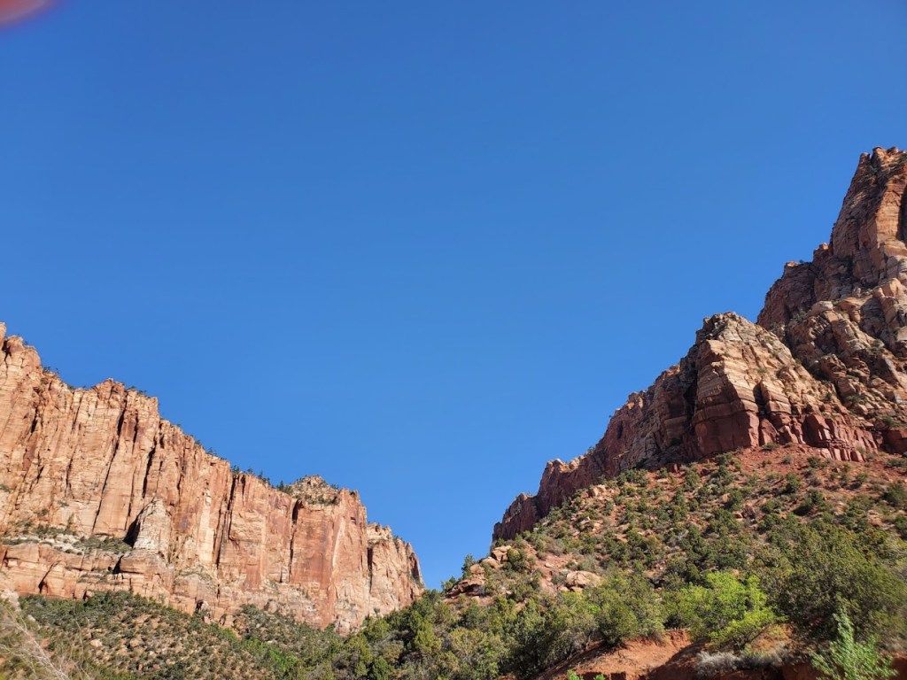
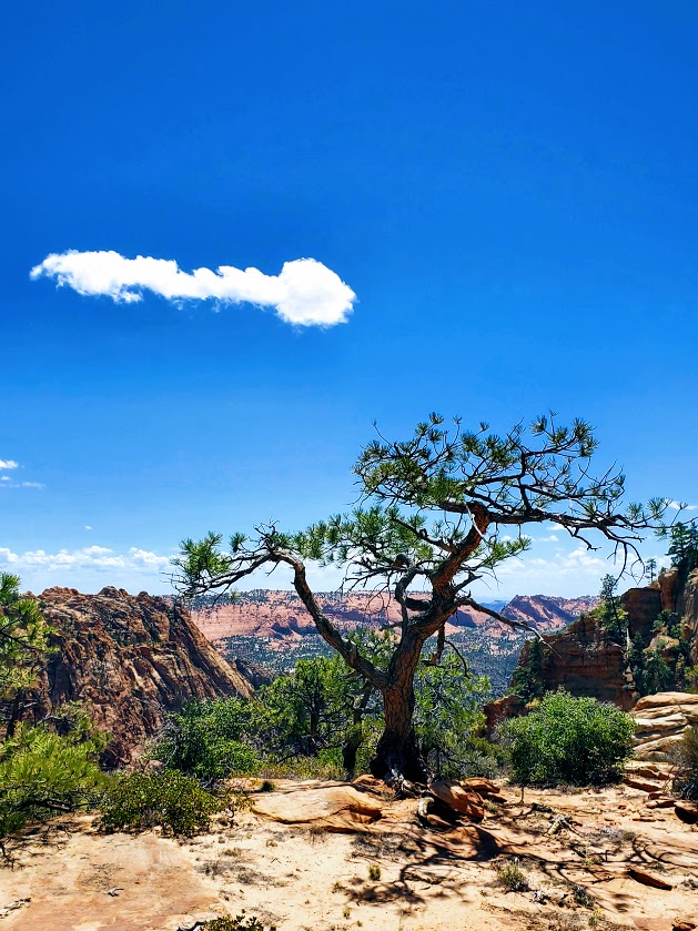
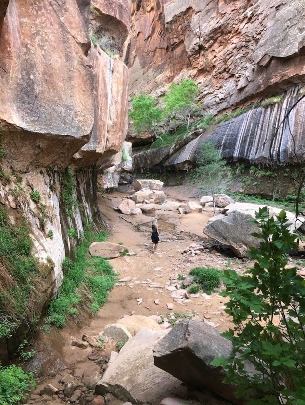
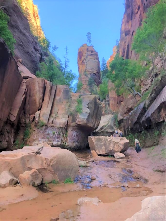
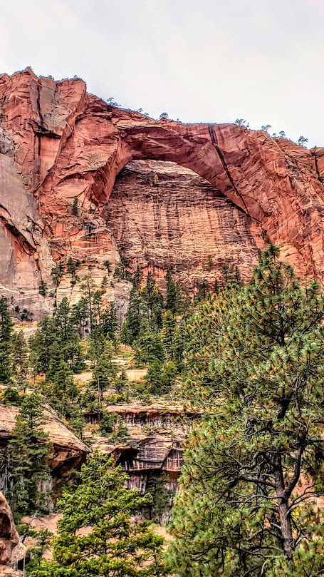
And then it gets even better. Zion vibes without the Zion crowds. After descending another 1k ft, you find yourself surrounded by dancing aspens and majestic red cliffs. This is where you’ll get your first glimpse of lovely La Verkin Creek. Oh, my—a perfect spot to pause and take in all the beauty. I’ll be back just for it. Fall is a splendid time for this hike, but I’m sure spring and early summer are delightful as well.

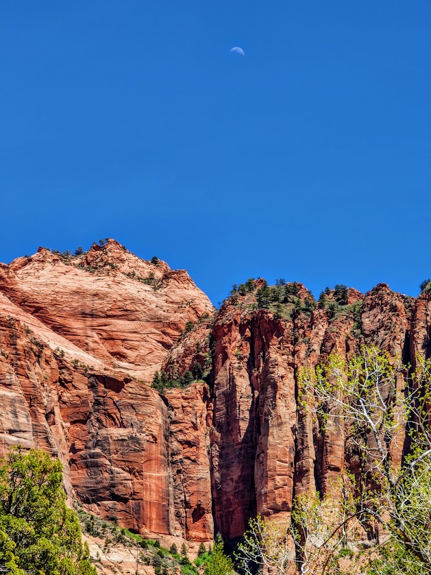
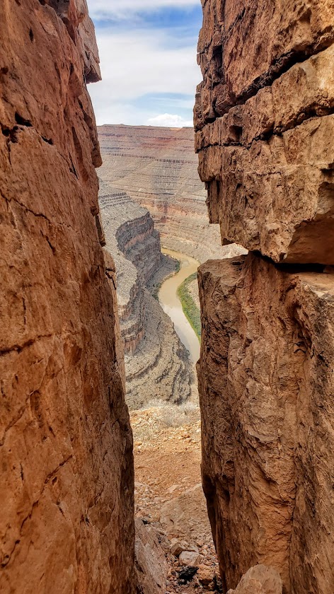
Continue following the trail along the creek another mile or so until you reach the junction for Kolob Arch. This trail is less distinct and a little more rugged. The distant view of the arch (possibly the largest free-standing arch in North America) is ok, but wow factor is a bit muted without a blue sky backdrop.)

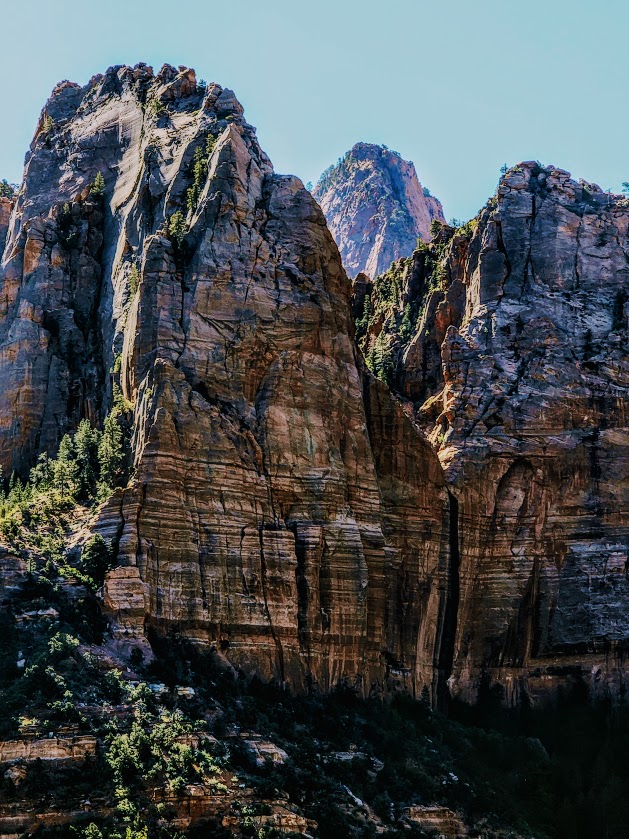
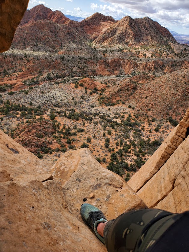
You can continue up the canyon to Beartrap Canyon and Willis Canyon or head out to Holob Canyon and Kolob Terrace Road.

There are 13 camping sites along the trail. Reservations are required and can be made online, but 2 backpackers I met on the trail told me that they were able to get their pass the same day.

Notes: Sadly, toxic cyanobacteria have been detected in La Verkin Creek. No dogs are allowed in Zion Wilderness (a good thing as dogs have been known to die within minutes of exposure to the cyanobacteria). Bring plenty of water as you can not filter water with cyanobacteria.
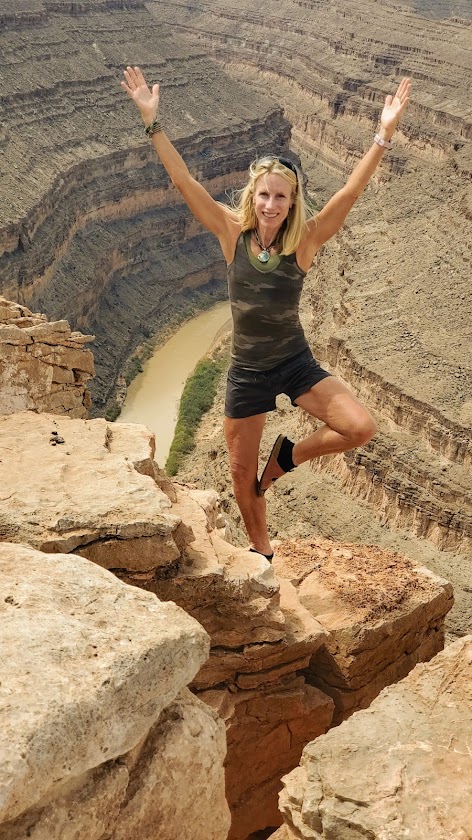
Happy Trails!

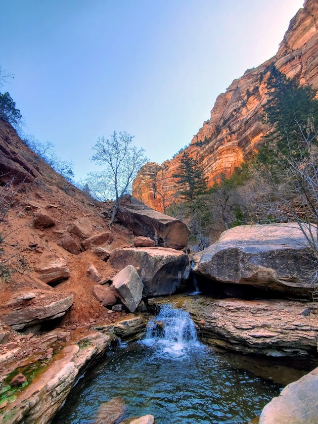
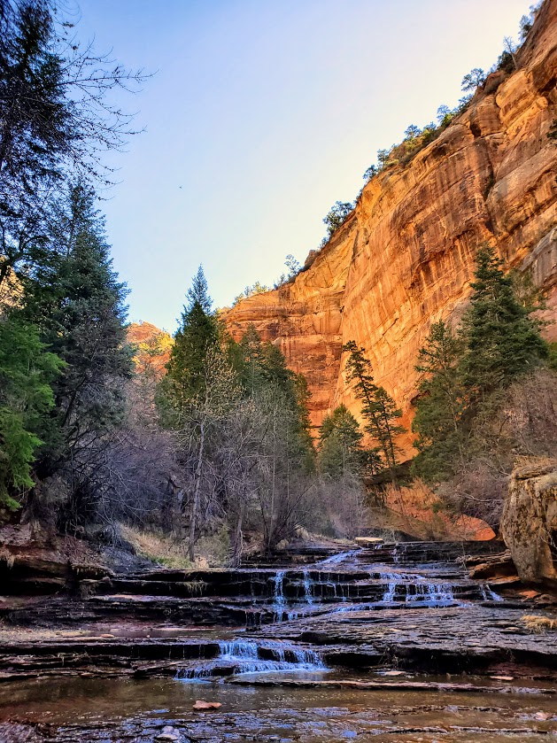
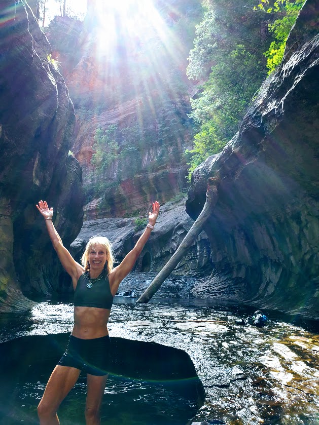
Revisited the trail recently to see La Verkin Creek show off her Spring look. She did not disappoint.

Funny wildlife encounter story. Well, it’s not funny if you’re the frogs or me. While I was “Wim Hoffing” it in the creek (careful not to submerge my head), I sat on 2 frogs in the midst of a tryst. Unfortunately, it would be their final, though eternal, encounter. (Gives new meaning to “happy ending”, doesn’t it?) In the meantime, as I was exiting the delightful natural pool, I almost grabbed onto a snake. There’s bound to be one in paradise, right? Notes to self, look before sitting and before placing a handhold. The harmless snake was lying in wait for the plentiful frogs. Little did he know that I’d arranged a 2 for 1 for him. Back on shore, a frog eyed and ID’d me as the culprit.

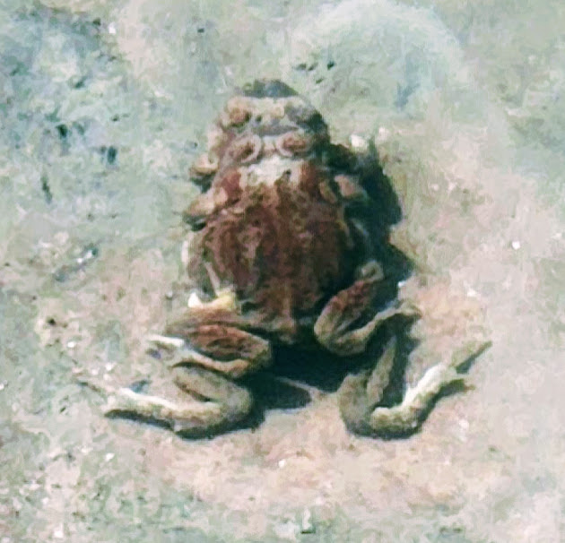
Other than that, the play/day was uneventful and beautiful. And, yes I still feel guilty about the frogs.

Hats off to Hank, but keep ‘em on for the Honaker Trail, Goosenecks State Park, Mexican Hat, UT

Distance: ~5 Miles RT, Out & Back (Down and Up)

Elevation gain: ~1,800

Difficulty: Somewhat strenuous due to consistent descent and ascent, some slippery footing and scrambling—minimal “exposure” as far as danger level, but 100% sun exposure. Not for the weak of knees or heart. Poles recommended.

Named after its creator, Henry Honaker, this rugged route dates back to the 1890s and the heyday of Utah’s Wild West gold rush. Thank him for this scenic, cliff-hugging trail that originated as a supply route from the San Juan River to the rim ledges. While the gold rush here was short-lived, the trail has been a long-lived attraction for scientists, geologists, recreational hikers, and rafters. The dramatic geological formations date back 300 million years and are a source of fascination for all.

As you descend the trail, you may note how the rock colors and their composition change. As you pause to take in the panoramic views, catch your breath, and gulp some water, keep your eyes open for fossils (including crinoids, brachiopods, and various trace fossils). In the dry and sometimes unforgiving desert, it’s hard to imagine there was a time when all of this was underwater.

The yellow numbers that you’ll see painted on the cliffs are remnants from a 1952 field symposium on the rocks of the Honaker and Paradox Formations, not a tabulation of the numerous switchbacks though they may seem so.

While it’s always a reward to jump in a lake or a river on a hike, the silty San Juan River may refresh you but likely won’t dazzle you with her mud-colored water.

The Honaker Trail is a great, off-the-beaten-track adventure hike and a must-do for geology buffs. We only encountered a couple of rafters exploring the bottom reaches of the trail.

Notes: Of course, you must drive into Goosenecks State Park itself to enjoy the main panoramic viewpoint while you’re there. The feature photo is from that viewpoint as are these next two.

On a clear day, you can see Monument Valley in the distance. Bring an excess of water & Gatorade—what you think is too much will be just right. This trail is completely exposed, so get an early start if you’re going in the summer and be equipped with sunscreen, a hat, and EXTRA water. (Yes, I know I mentioned that already.)

Getting there: There are no signs for this trailhead. It’s marked only by a huge cairn pyramid at the start of the trail and at the bottom. At Goosenecks State Park, take the dirt road at mile marker 3 (before the entry gate) and stay left when it forks. A 2WD car can make it to the first unmarked “parking area,” and it’s just  .25+ to the trailhead from there. Otherwise, a 4 WD, high-clearance vehicle can take you to a “parking area” closer to the trailhead.

It’s a scenic drive as well.

Oh, and here’s a pic of Mexican Hat along the way. Beauty everywhere you look.

Happy Trails!

Exploring Enchanting Water Canyon—a Multifaceted Gem, Hildale, UT

Length: ~3 Miles roundtrip to the mini waterfall or as long as you’d like to take it, up and over and across the rim.

Difficulty: Moderate+ (To the waterfall is easy, after that, the hike becomes more difficult with elevation gain and a mix of route finding, scrambling, and bouldering. Route finding can be perplexing, if not impossible at the top where it becomes a choose your own adventure experience.)

Elevation gain: 2,208 ft (This only comes into play if you hike beyond the waterfall.)

In the spring, the reward of a short hike (~1.5 miles ea way) is a beguiling, mini waterfall tucked into a slot canyon grotto. Beyond the waterfall, you’ll encounter an interesting, often difficult-to-follow trail that involves some scrambling, bouldering, some exposure, and heights. Not surprisingly, this picturesque canyon is a popular spot for canyoneering. Supposedly you can get to “White Domes” from here, but it’s difficult to ascertain how. I’ll update this post if / when I find a good route to them in the future – cross-country, over the top, or traversing up the rocks from the bottom.

Notes: If you’re in it for the waterfall, early spring is your best bet. The waterfall disappears as the months get hotter and drier. Watch the weather for flash floods. Avoid weekend crowds by going early on a weekday. If you’re going to wander on the rim, I suggest you use GPS or Alltrails, as finding the route back down the canyon can be tricky (understatement). Parking is free.

Getting there: I-15 N to UT-9 E/W State St and UT-59 S to Utah Ave in Hildale. Take Utah Ave to Water Canyon Rd. Follow the dirt road to the parking lot.  

Happy trails!

Zion’s Sublime Subway: Bottom Up—Is Tops!

Distance: ~9 mile round-trip (out and back)

Elevation: ~1900ft

Difficulty: Moderate, depending upon your fitness level. (Zion National Park’s rating is strenuous.) Steep and exposed initial descent and return ascent, otherwise fairly mellow trail with lots of stream crossings / stream walking, some rock-hopping, and minor scrambles over boulders. (Good idea to have some longer hikes with some elevation challenge under your belt before attempting.) Since footing can be precarious at times, especially at the Subway itself, but also along the way, expect the hike to take longer than mileage would indicate. Also, you’ll want to take the time to savor the beauty that surrounds you.  Average hike times range from 5 to 9 hours.

Definitely one of my favorite Utah hikes so far—epic scenery, waterfalls, the magnificent, iconic beauty of the Subway, and a solid workout.

More than 1 of us accidently took the wrong “trail” down.  Not sure how that happened – maybe it was too early in the morning, and too much excitement. If it looks and feels like you’re navigating down a precipitous, vertical avalanche area —retrace your steps back to the trail and continue on. While the descent and ascent are steep, they are on a definite trail.

The hike description noted a strenuous and steep descent / ascent so we didn’t think we’d gone astray until we found the real trail (pic on right) on the way back.

Apparently, there are some dinosaur tracks just off the “trail” somewhere – their whereabouts remain a mystery to me. I’ll let you know if I find them on my next trip.

Keep your eyes out for snakes, toads, and trout.

And yes, there’s also a top-down route to the Subway that requires canyoneering, rappelling, and swimming. It may be in my future—will report back, if and when.

Heads-up:

  • Walking stick with a solid rubber end and grippy shoes highly recommended. (You’ll be traversing many slippery rock sections through the stream and at the subway itself. Be cautious – safe is better than sorry. Many helicopter rescues occur here. Don’t be one of them.)
  • Be aware of flash flood danger and heat exhaustion exposure. Get the weather report and double-check with rangers. I went in April and it was 90 degrees by midday—some fellow had heat stroke on the trail. (Bring plenty of water, a hat, and sunscreen.)
  • This is a day use only area and permits are required. An advance lottery system applies from April to October and calendar reservation applies from November through March. There is also a last-minute drawing and you can always check for cancelations day of—unlikely, but we met a couple who nailed both a same day cancellation opening for the hike and a campsite so you never know. (Permits are $15 for 2, $20 for up to 7, and $25 for up to 12 people.) Lottery, reservation, and permit details here.

Good luck – it’s soooooooo worth it!

Getting there: Left Fork Trailhead on Kolob Terrace Road

Happy Trails!

Yowza! Yant Flat! Leeds, UT

Also known as Candy Cliffs, this rocky wonderland is more than sweet- it requires a default to the overused superlative “EPIC” with an added “for sure”!

Only the first mile is a sandy trail, the rest is create your own adventure (at your own risk) across all types of fascinating colored and textured rock topography. Some steep, slippery sections… If you’re lucky, you might find the one crevasse that will take you down to the wash that you barely see in the distance way down below. Or like me, you may choose the wrong route and end up at a dead end, which could turn into a dead end in more ways than 1.

Length: 2-infinity miles

Getting there (4-wheel drive with clearance recommended): Cottonwood Springs Road in St. George to FR903

Notes: Would not attempt the drive or hike in the rain

For similar views at a slightly smaller scale and without the need for a 4-wheel drive, check out the Snow Canyon Overlook Trail