Anasazi (Tempi’po’op) and Tutkupetsi Trails, a Local, Family Friendly Favorite for Petroglyphs, Fall Colors, and Grand Views

Difficulty: Easy

Distance: Short: 1-5 miles; you can combine trails to make a longer loop

Sometimes, we take the people and things closest to us for granted. That’s the case for me and my local Anasazi (Ivins) and Tukupetsi trails (Santa Clara). These easily accessible, connecting trails are short (runnable and mountain bikeable), featuring the intriguing Land Hill petroglyph site, a fenced-in farmstead ruin once used to store food and herbs, and grand views in every direction.

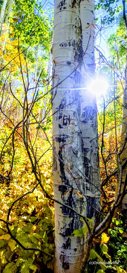
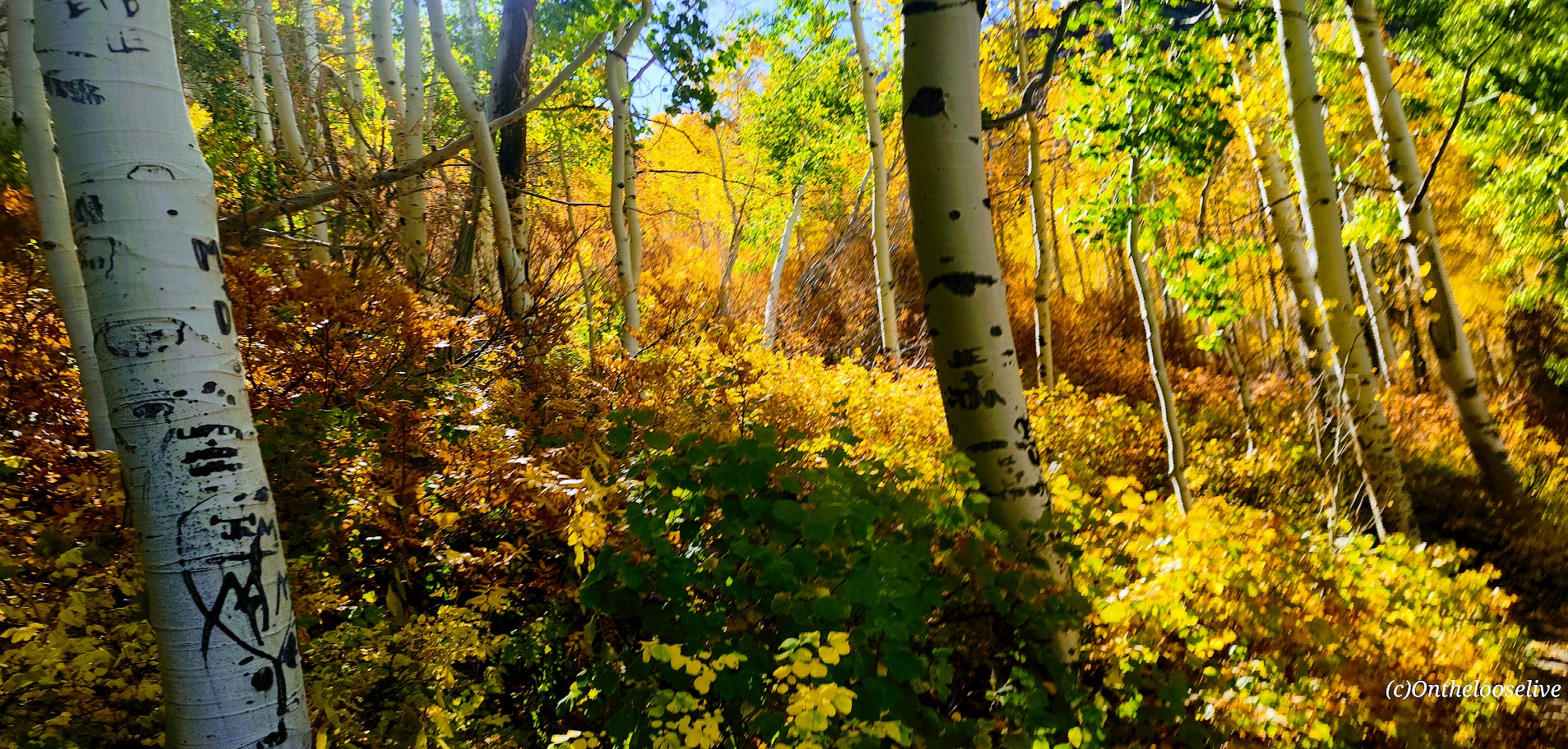
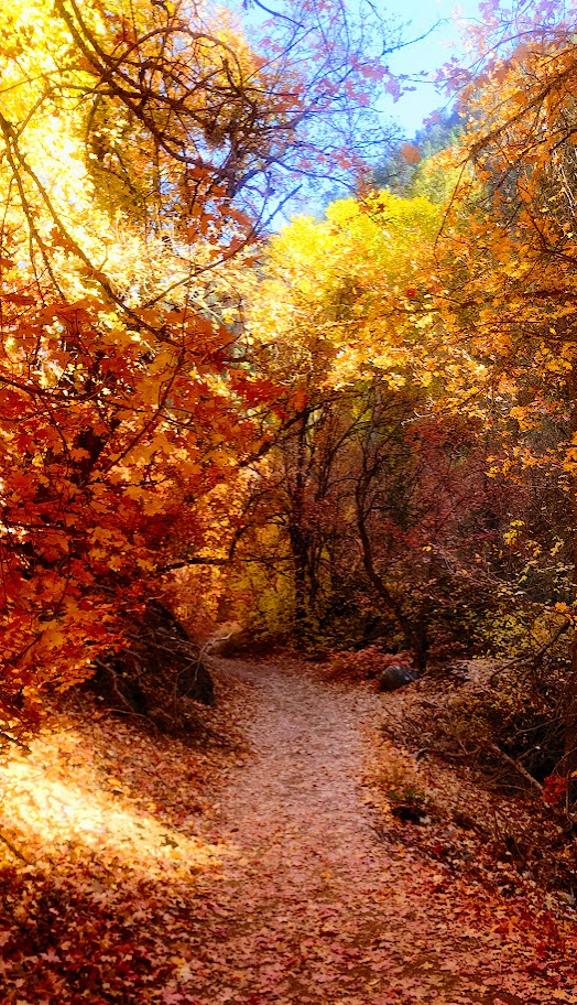
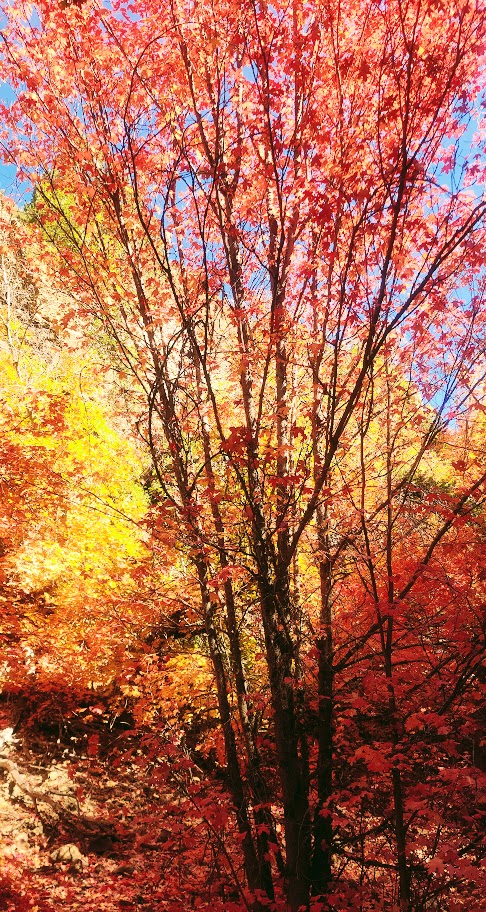
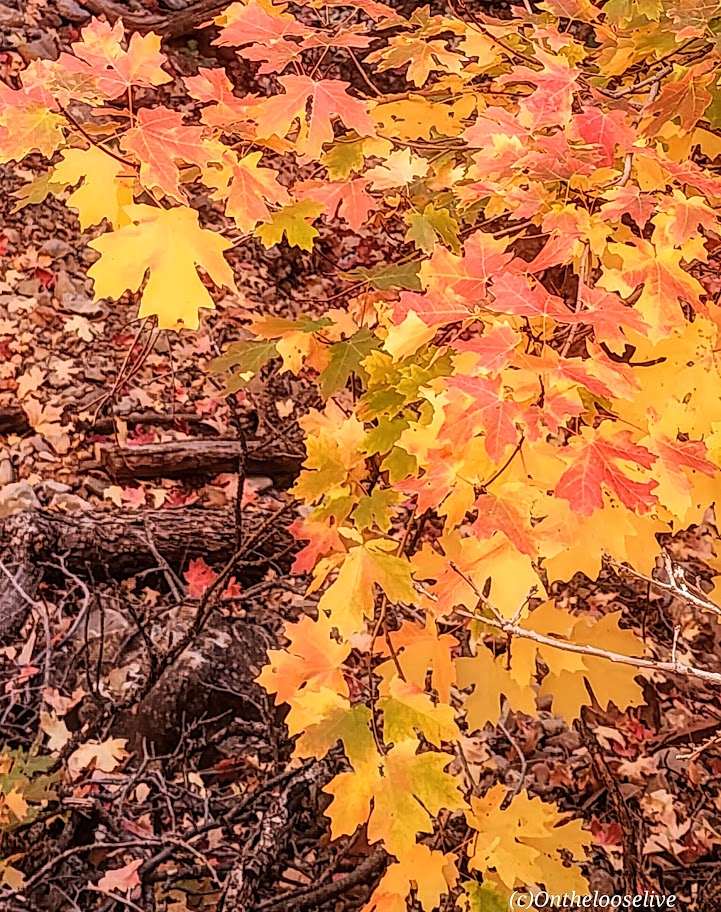
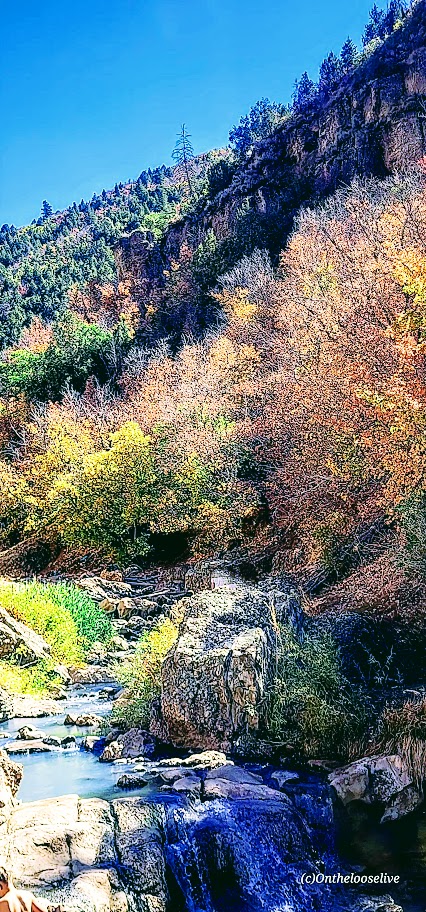
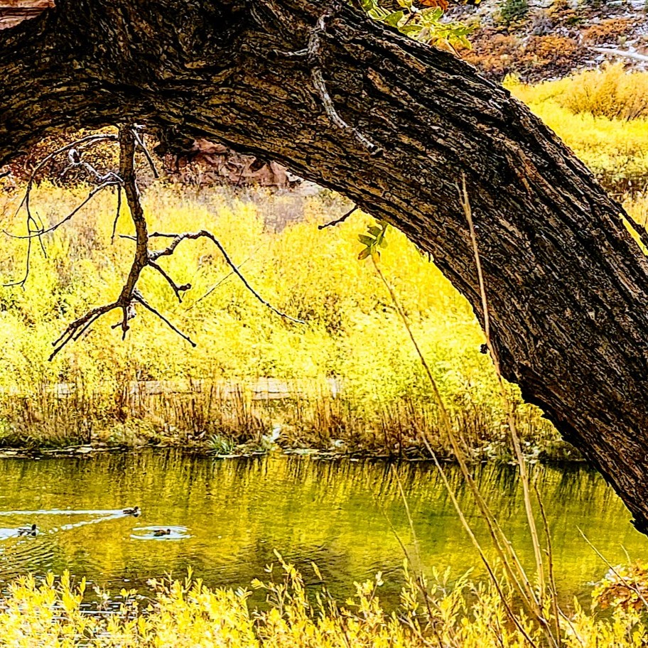
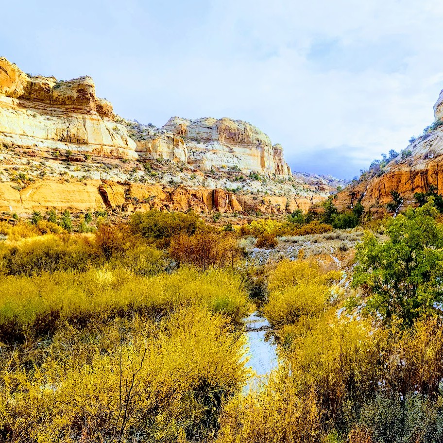
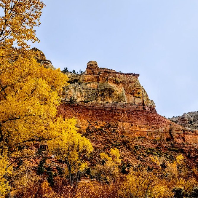
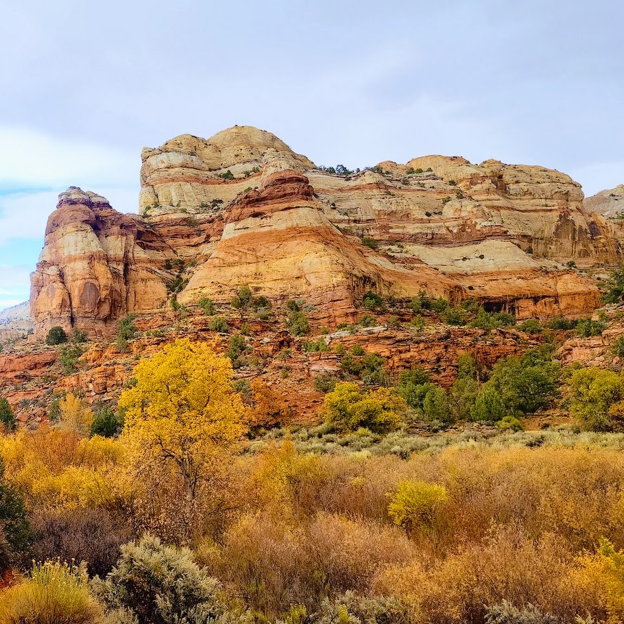
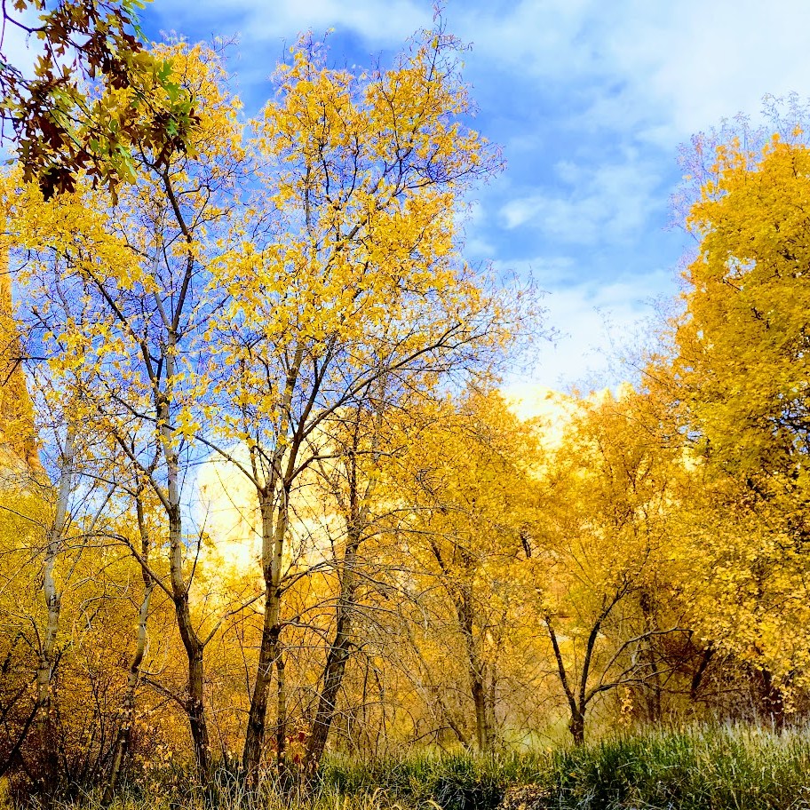
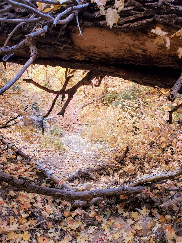
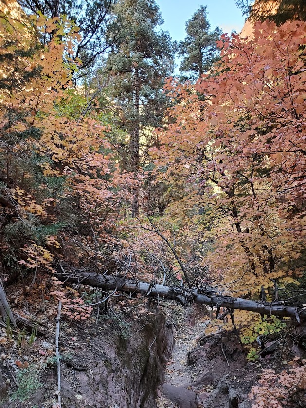
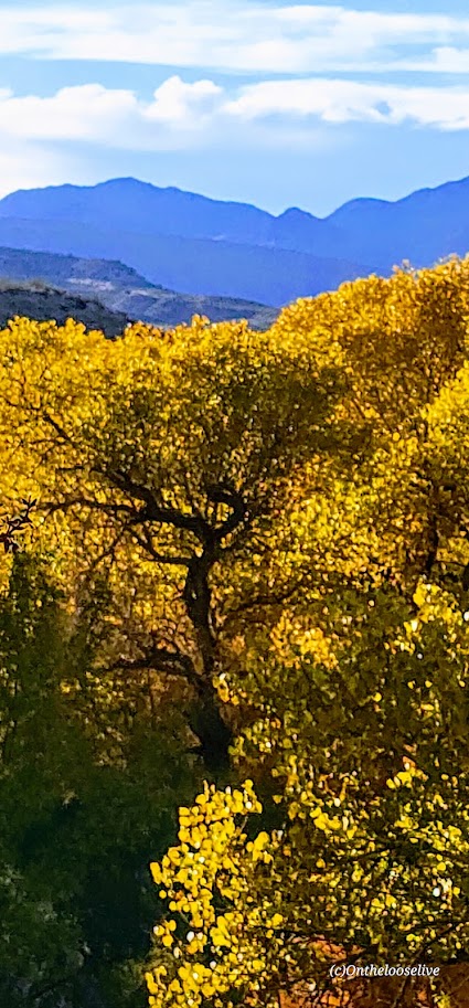
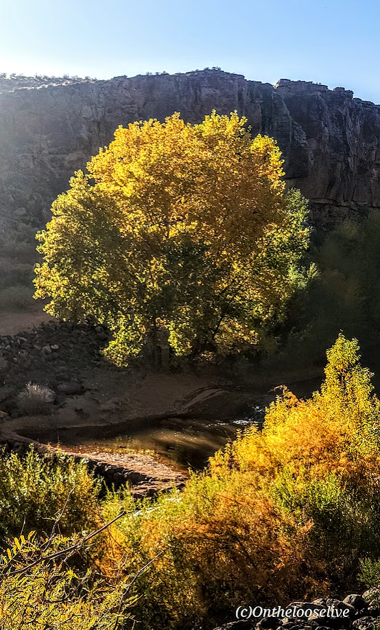
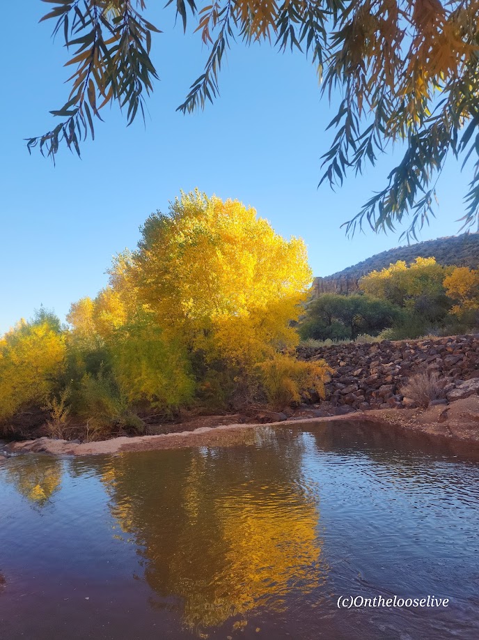
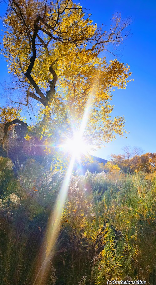
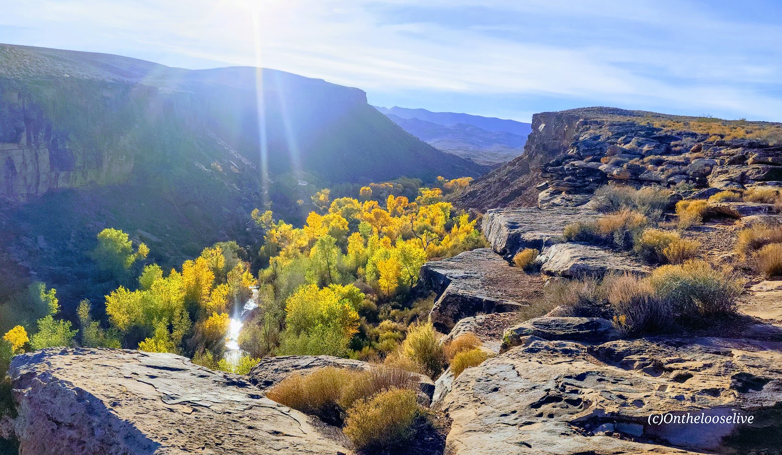
I like these trails best when the Cottonwoods light up the rugged desert landscape with their vibrant flash of yellow, tracing the meandering (and meager) path of the Santa Clara River below. You can find me there, chasing leaves and golden light in my annual frenzy to catch it just right.

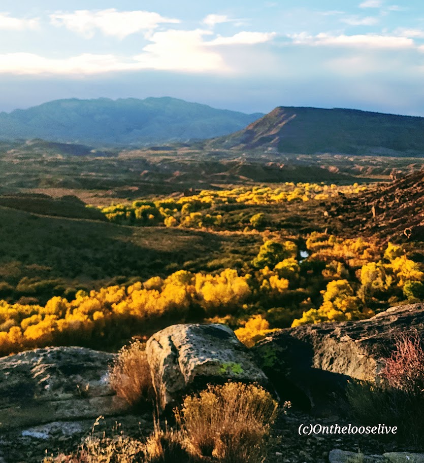
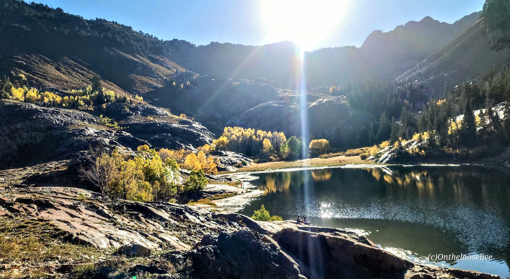
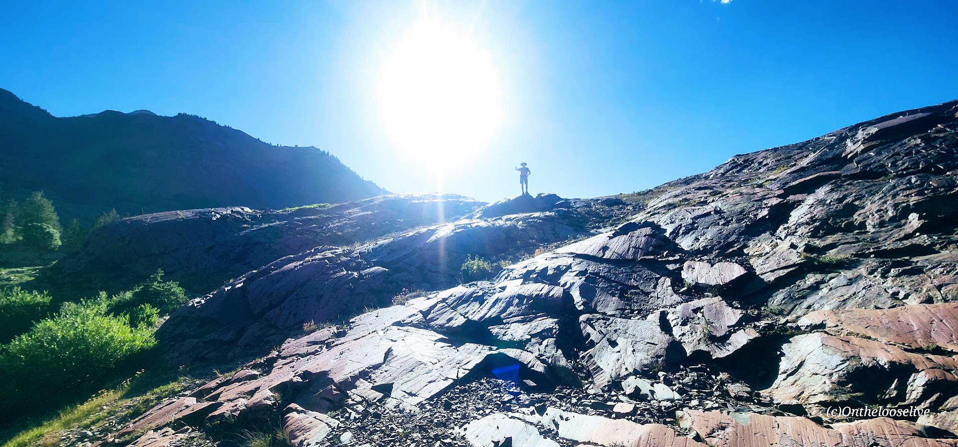
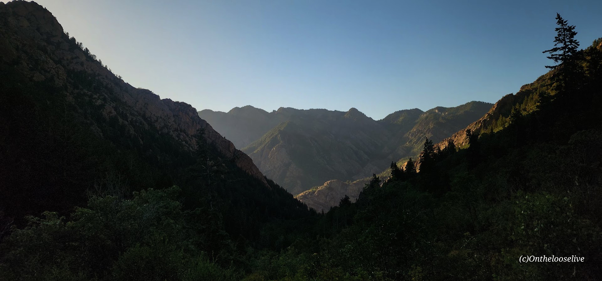
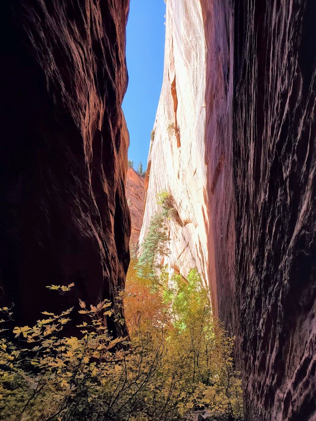
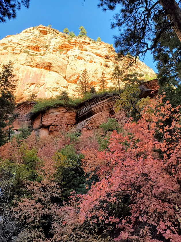
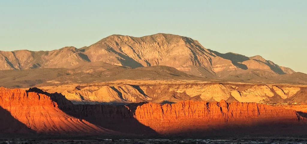
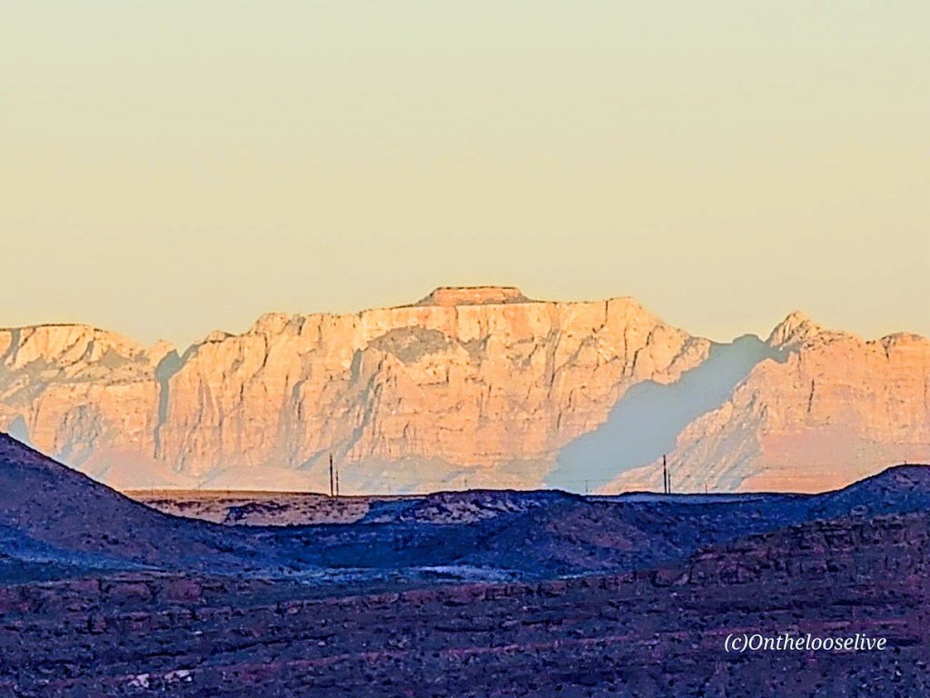
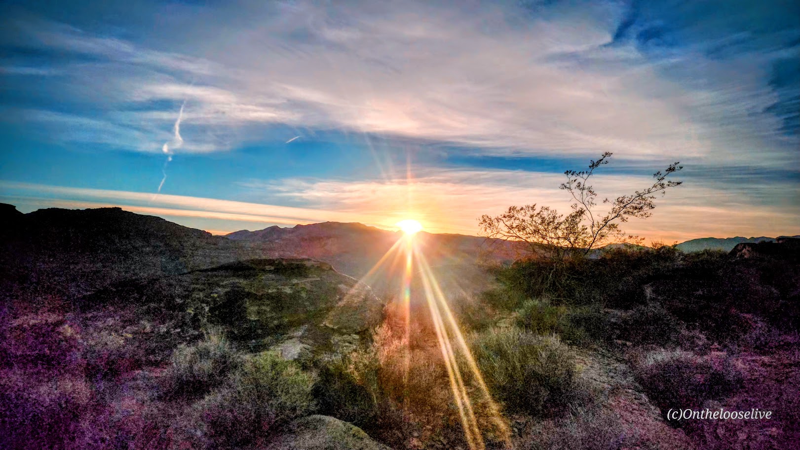
Take in the panoramic views of Red Mountain, Pine Valley Mountain, and, on a clear day, as far out to Zion from the ridge.

I will only post a couple of petroglyph pictures. I’d like you to be able to discover them for yourself.

If you’re interested in learning more about petroglyphs, my hiker/yogi friend, Sue Birnbaum, an adventure blogger, has thoroughly researched and written a great post on the subject, including recommendations for further reading.

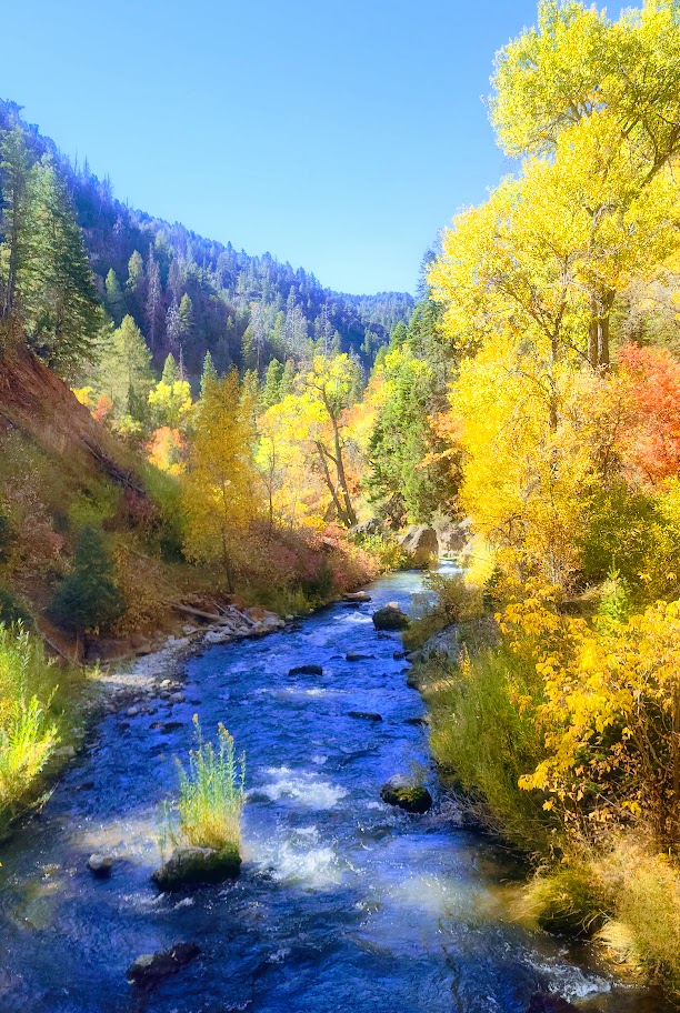
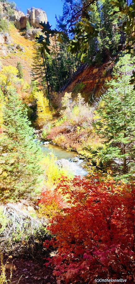
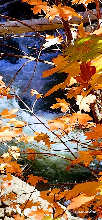
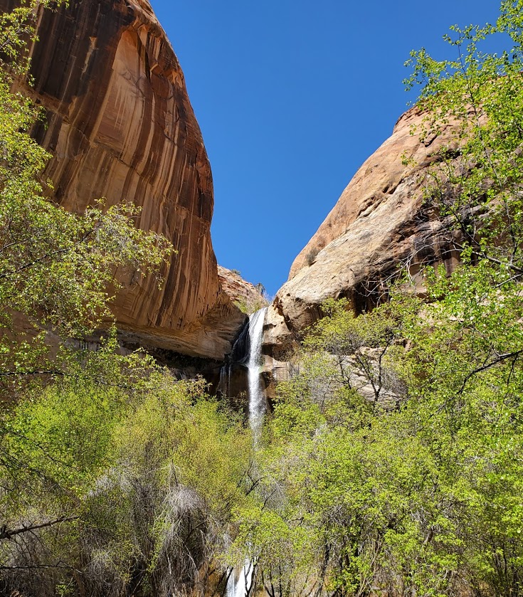
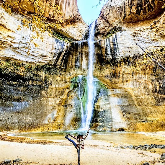
Here are some highlights from the Tukupetsi side in Santa Clara from the vantage points of the upper and lower trails.

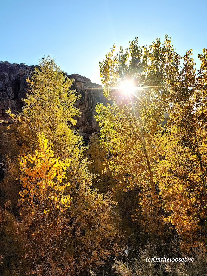
And more from Fall 2025.

Notes: Remember to leave no trace and respect all ancient petroglyphs and ruins. Please do not touch, step, sit on, or deface them. Oils in your hand can damage them, as can debris from your shoes. Perhaps think of them as outdoor museum art and appreciate their mystery.

These easy, short, fun hikes are offered by onthelooselive yoga and hike retreats and day adventures.

Happy Trails!

Lovely Lake Blanche, Twin Peaks Wilderness Area, Salt Lake County, UT

Distance: ~7 Miles

Elevation Gain: ~2,800 FT (Evenly distributed across the 3.5 miles.)

Difficulty: Moderate +/-, depending upon your fitness level

Known as one of the best hikes in the Twin Peaks Wilderness Area, Lovely Lake Blanche, with its dramatic granite spire backdrop (Sundial Peak), has an allure of its own. Hence, its well-documented, high-profile social media status and popularity.

Begin your hike along the rushing creek on your left and make your first right onto the Lake Blanche Trail. The climb is gradual and consistent, with colorful foliage (in the Fall) and peak-a-boo, foreshadowing views of Sundial Peak up ahead and down the canyon to the Great Salt Lake Valley to the West. I kept waiting for the climb to get steeper as I’d read reports that this hike was “challenging.” Perhaps I was just transfixed by the scenery, as you’ll see why.

Lake Blanche and its smaller sister lakes, Florence and Lillian, sit at 8,888 feet. The lakes were a bit low but still high on the beauty scale. While it’s a popular hike, there’s plenty of room to find your zen once you reach the lakes. Just keep strolling past Lake Blanche, where most people seem to congregate.

There’s an off-trail hike up Sundial Peak; I’ll have to try it next. Unfortunately, I didn’t have time this time.

I revisited in late July and just missed the wildflowers! Must go earlier next year. This time, I was running short on daylight, so off-trail exploration is still to come.

Directions: Take Big Cottonwood Canyon Road to the Mill B South Fork Trailhead. The parking lot fills FAST as in FULL at 7 AM on a Saturday.) Parking is allowed along the road, but that fills quickly, too!

Notes: Unfortunately, dogs and swimming aren’t allowed due to the area being a protected watershed.

Happy Trails!

Fifth Water Hot Springs, Uinta-Wasatch-Cache National Forest

Fifth Water Hot Springs has been on my radar for years. I’ve seen the gorgeous pictures on IG and FB, but I knew the experience would be more like an “attraction” than a hike, so I haven’t gone out of my way to check it out. On this adventure trip, it was on my way with daylight to burn. While its popularity is a major deterrent, I decided to brave the “crowds” and finally see it for myself.

I arrived midday. (Yes, it was a mistake, but it was either now or never). (If you can, go at dawn.) The parking lot was full. People were parked at risk along the roadside. Luckily, I found a pullout a mile back and didn’t get towed or ticketed. (However, I did see a tow truck getting busy on the way back.)

Lots of people (too many) on the trail and in the pools, as you’d expect. It definitely has more of a water park vibe. I guess that’s to be expected with an easy, short, 4.5-mile roundtrip hike near a big city (SLC).

The trail to the pools along the stream is especially lovely in the Fall.

As you get closer, there’s a slight smell of sulfur that seems to dissipate when you reach the pools.

The waterfall at the end was a nice surprise.

I satisfied my curiosity. Would I go back? Only if I can make it to the trailhead at dawn.

Notes: The road is closed in the winter. Info here. Harmful bacteria may be present in the hot springs. Info here

Getting there: Take the US-6 towards Price and make a left on Diamond Fork Road.

Lower Calf Falls, Especially Lovely in the Fall! Grand Staircase Escalante, UT

Lovely Lower Calf Falls, Grand Staircase Escalante, UT

Distance: 6 miles

Elevation: ~500 ft

Difficulty: Easy (with a fair amount of thick sand walking)

Highlights: 126-foot cascade into a shallow pool, giant petroglyphs in the distance

I was fortunate to return to Lower Calf Creek Falls in Autumn, and it was spectacular! Traces from the season’s first snow accented the gorgeous Fall colors and seeing the waterfall framed in golden leaves was glorious. So much beauty! And thankfully, with the cold, wet weather, there were only a handful of people on the trail. Can’t imagine a better way to experience this magical place!

As you can see, this amazing gem is definitely worth a visit. Lower Calf Falls cascades over a nearly vertical cliff face into a large pool that is enclosed on three sides by sheer Navajo sandstone walls. Pick up an interpretive pamphlet at the trailhead to learn about the flora along the trail and giant petroglyphs in the distance (too far in the distance to get a good pic).

Summer Slide Show

Without question, Grand Staircase Escalante is National Park caliber and deserves to be preserved and protected. Stay tuned for more posts on this area!

Notes: This is a very popular destination for obvious reasons. Go early / late to avoid the crowds. Off-season in stormy weather will deliver more solitude.

Get the scoop on Upper Calf Creek Falls.

Soapbox: If you bring pets, please pick up their poop! This trail (single track in many spots) and the falls’ area are small and quickly becoming overrun and overused. One fellow watched me watching him after his Labrador left a big poop pile on the trail. He took out a poop bag, and then when I turned away, he tucked the bag back in his pocket and left the steaming pile! ARRRGH! No respect for fellow hikers or nature. They should permit this hike, at least on weekends, and fine those who litter and leave their dog’s poop. Don’t get me started about the imbeciles who bag poop and then leave the full bag. I can’t get my head around people who go somewhere to enjoy nature’s beauty and then defile it.

Getting there: Highway 12 to the BLM-managed Calf Creek Recreation Area. The parking lot has limited parking. Go early, or you may have to park along the highway.

Happy Trails!

Spring Creek Canyon, A Perfect Little Fall Hike, Kanarraville, UT

Distance: ~5.5 -~10 Miles

Elevation: 948 ft1,132 ft

Difficulty: Easy to more difficult if you scramble/bushwhack your way further up the slot canyon

Terrain: Starts out as a sandy trail and gradually gets rockier. There are a couple of short slot canyon offshoots to the left and right to explore along the way. At about mile 2.5 the trail begins to disappear into the heavy overgrowth. Continue on if you’re up the challenge.

October 2022 Update: This summer’s flash floods have cleared much of the brush so it was possible to make it up the canyon as far as 5 miles to a terminus of sorts.

Located just outside the Kolob Canyons area of Zion National Park, Spring Creek slot canyon makes for a beautiful hike any time of year, but especially in leaf peeping season – as you can see why. There are a few minor creek crossings, but it’s relatively easy to keep your feet dry. (No water shoes needed.) I took the trail 4.5 miles up – if you’re going beyond 2.5 miles, I highly recommend hiking shoes and long pants.

Getting there: Take the I-15 to the Kanarraville Exit, and follow the main route to the south edge of town. At 400 South Main Street, take the route that heads southeast toward the cliffs. Follow it for about 0.82 miles to the parking area and trailhead.