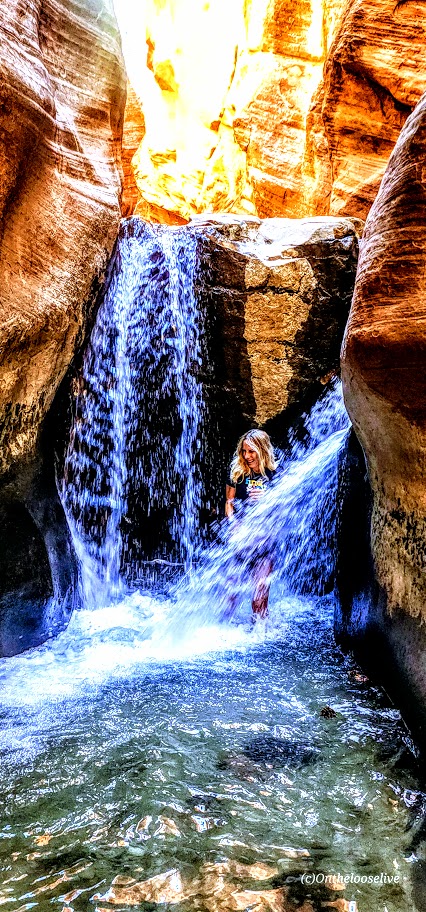
Bloods Lake Trail, A Short, Pleasant Park City Trail. Beware the Parking Sticker Shock!

Distance: ~3 Miles

Elevation Gain: 462 FT

Difficulty: Easy +, depending on your fitness level and altitude acclimation

Elevation: 9,174 – 9,519 FT

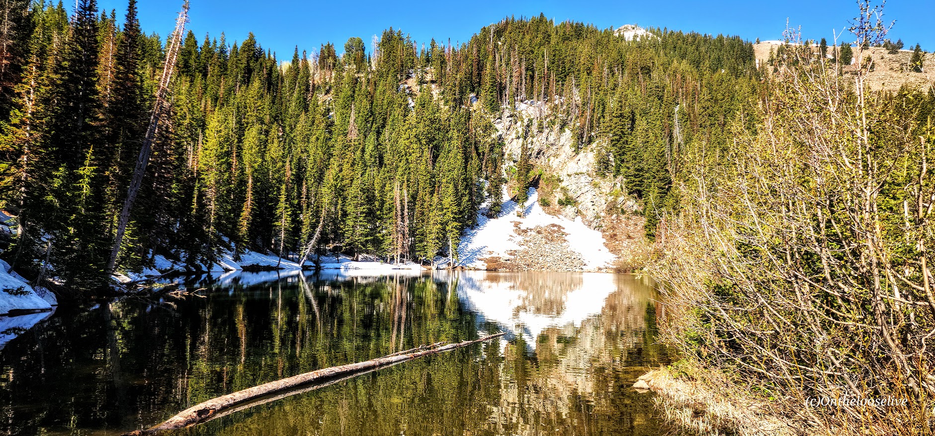
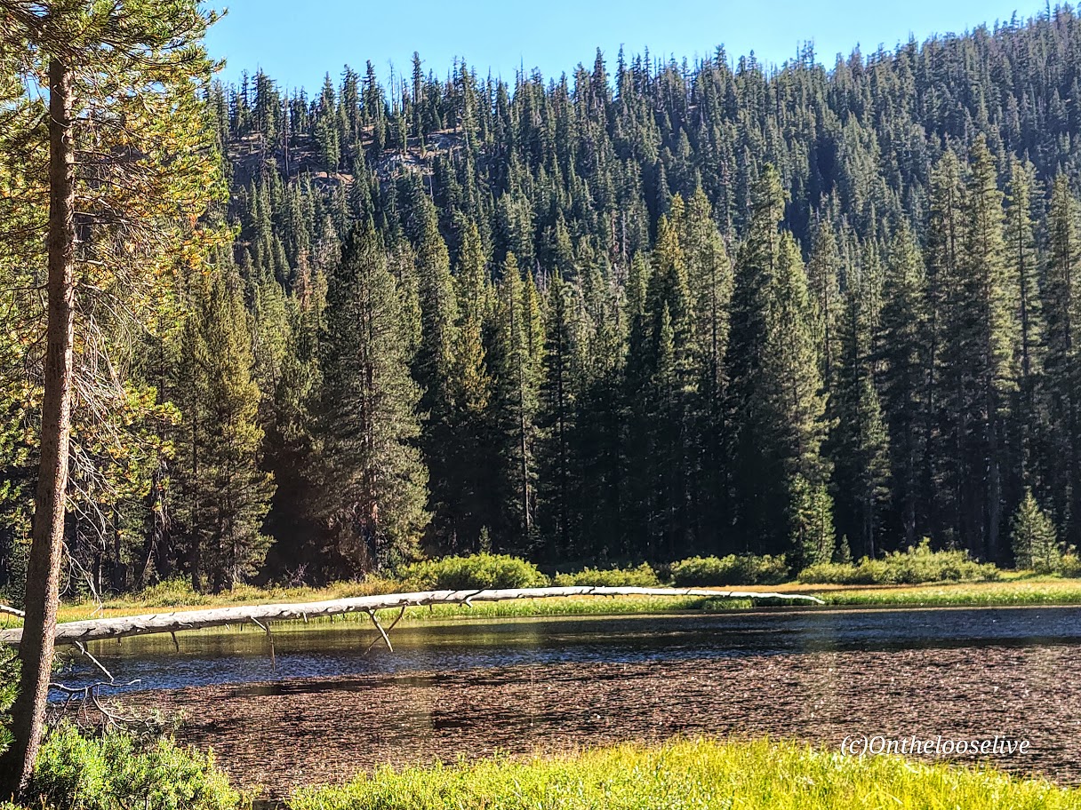
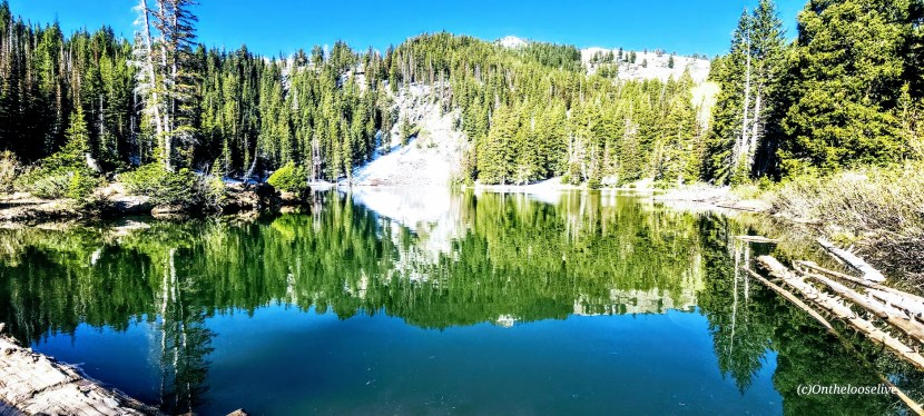
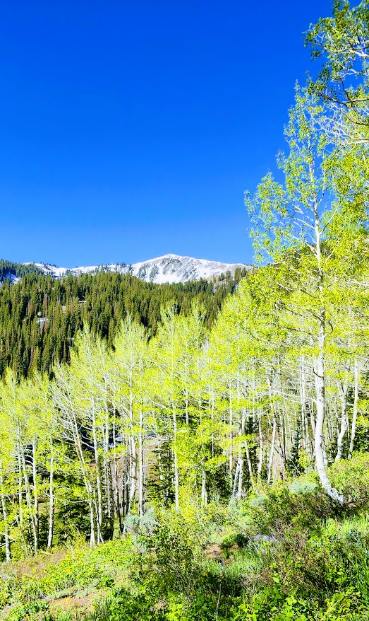
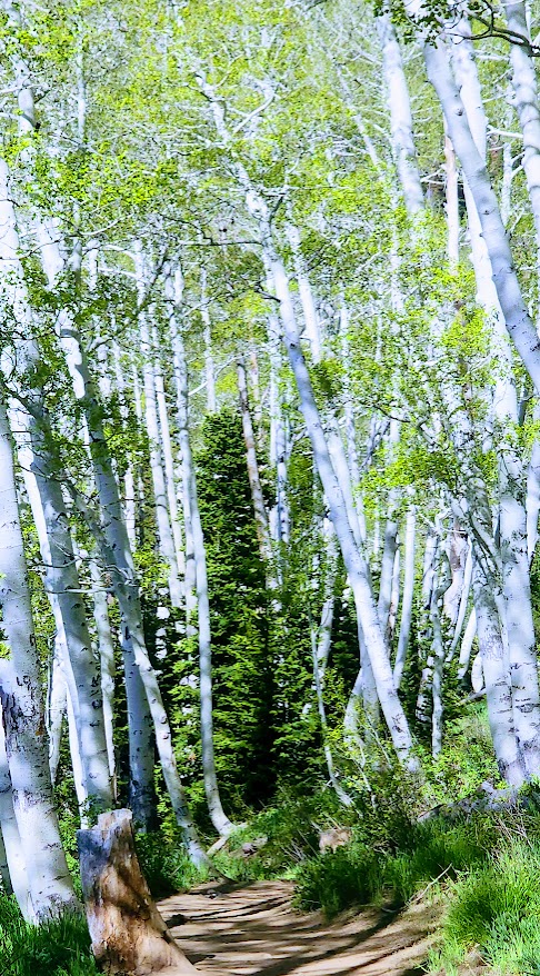
Named after the Bloods family, a pioneering family who homesteaded the area (not for what’s circulating in your veins or the lake color), the Bloods Lake trail is a short, pleasant stroll through the woods with a gradual incline on the smooth terrain of a well-groomed trail (trail runnable).
I wanted to make this shortie longer, but there was far too much snow beyond this lake. If you arrive after snow melt or have snowshoes, you can continue on to Lake Lackawaxen, named after its namesake river in Pennsylvania (2.6 miles, 1 way), Clayton Peak (2.7 miles, 1k FT elevation gain, 1 way), and Peak 10420 (2.5 miles, 1 way). Even if you hit them all, you won’t be able to get much mileage here.

This area is part of the Bonanza Flat Conservation Area, which was saved from development in 2017 thanks to a collaborative effort of various organizations and individuals. While that is indeed something to celebrate, they are recouping their costs aggressively, presumably to “manage increasing use, reduce congestion, and protect the area”. This is the most expensive trailhead parking scheme I have EVER encountered. They charge by the hour! It’s $5 per hour on weekdays and $8 per hour on weekends. Apparently, those who are privileged enough to live in the 84060 Park City zip code can apply for a free parking permit.

I paid $16 in advance, hoping I would make it to Clayton Peak and back. Deep snow stopped me at Bloods Lake, so I finished my hike within an hour with no recourse for a refund. Was it worth $8, yes – $16, no. As you can tell, I find this fee system utterly obnoxious. Though the silver lining is that it does motivate you to keep a fast pace, which I like- lol.

Getting there: The trailhead is one of several hiking trails along the super scenic Guardsman Pass.

Notes: Parking fills early on the weekends! Exorbitant hourly parking fees ($5 per hour on weekdays and $8 per hour on weekends)!

Happy Trails!

Spectacular Shadow of the Minaret, Inyo National Forest, Mammoth, CA.

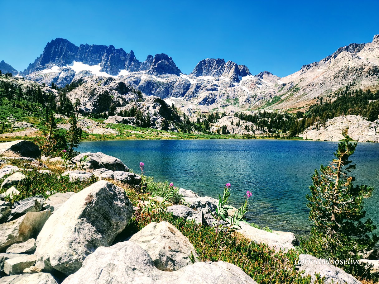
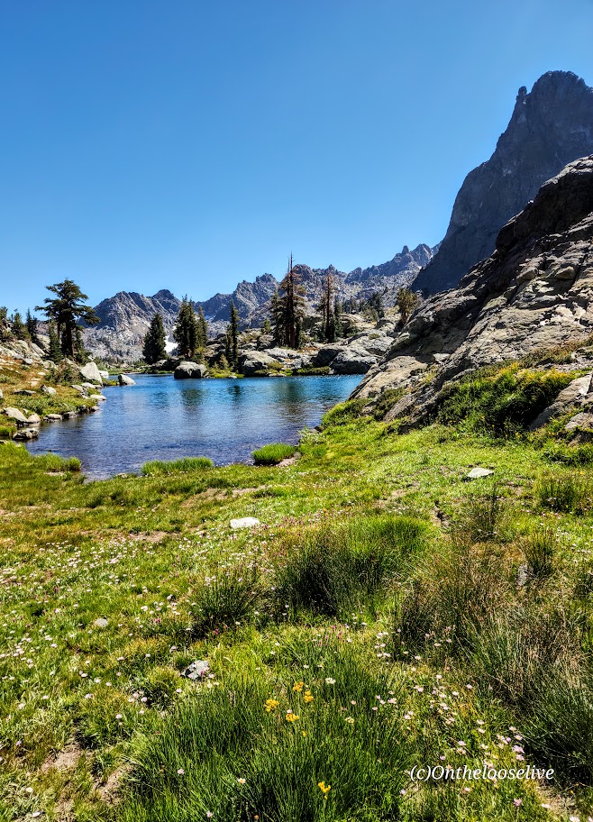
The Shadow to the Minaret (Agnew Meadows to Devil’s Postpile) route packs so much breathtaking beauty into a challenging 17-mile hike. Backpacking might be the best way to experience it, or you can choose a waterfall or any of the 7 amazing alpine lakes (Olaine, Shadow, Ediza, Iceberg, Cecile, Minaret, and Johnston) along the way as your destination for a shorter out-and-back hike. I wanted to see as much as I could in the limited time I had in the area, so I did it as a day hike.

Miles: 17, or create your own out-and-back adventure (~7 miles RT to enchanting Ediza Lake with only 400 feet elevation is an excellent option for a shorter day hike and is popular for good reason ).

Elevation gain: ~2,529

Difficulty: Hard/Challenging, especially for a day hike

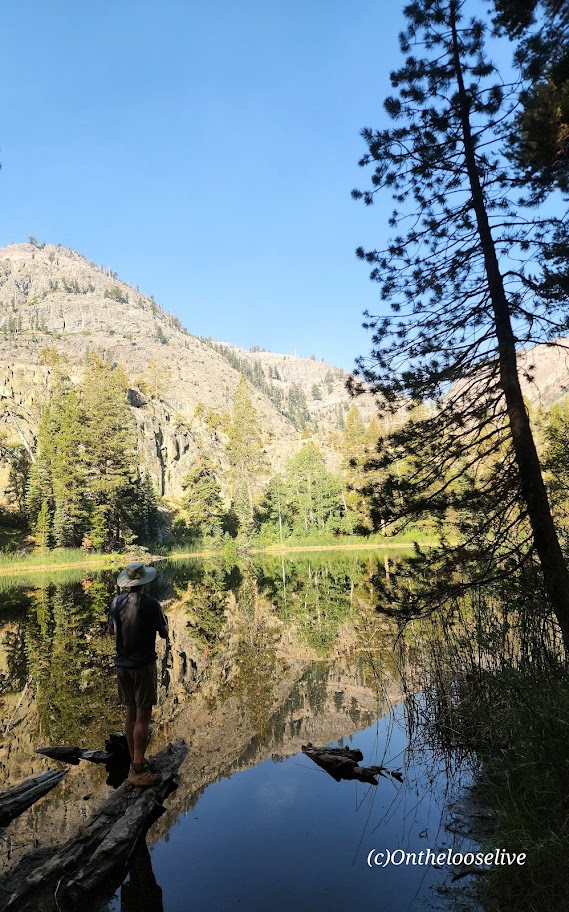
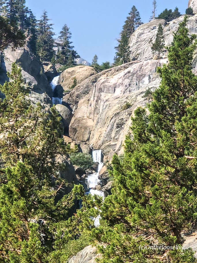
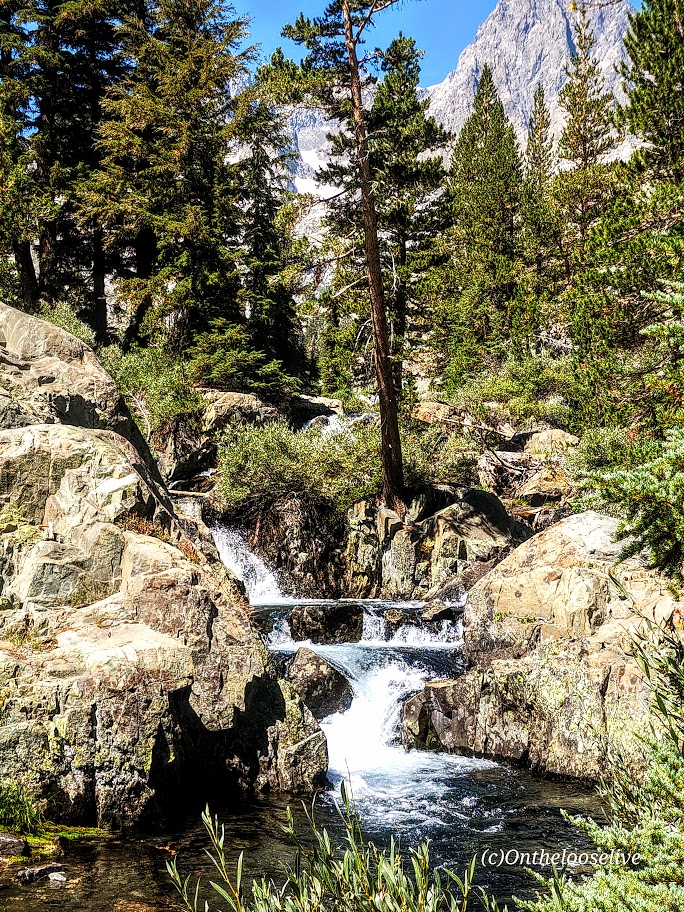
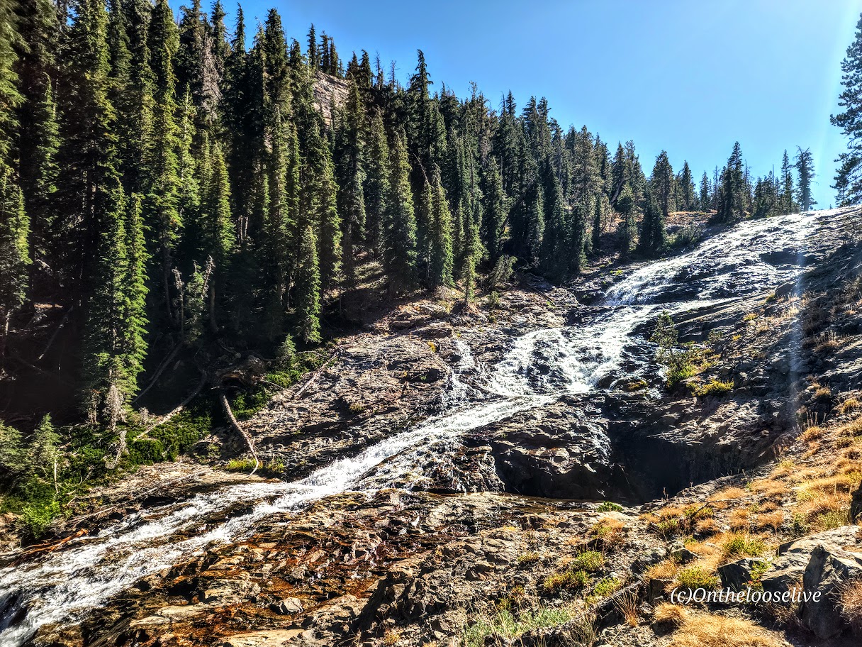
From Agnew Meadows, you’ll encounter Olaine Lake first, then the gorgeous tiered Shadow Creek Falls, Shadow Lake, and dazzling Ediza Lake.

Enchanting Ediza Lake

Take the trail above Ediza Lake for a glimpse of dramatic Iceberg Lake.

From there, if you wish to venture beyond, you’ll have to climb/scramble the rugged loose scree and talus cliffs to reach Cecile Lake.

Note that I wouldn’t recommend attempting this if snow is present. There’s an argument if you’ve come this far to keep going. You’ll need to boulder hop for a half mile or so around Cecile to get to the slippery, rugged drop into Minaret Lake.

Scaling Iceberg’s cliffs, boulder hopping around Cecile, and “sliding down” the loose sandy “trail” into Minaret can be quite time-consuming despite these sections’ short distances. (Some AllTrails hikers reported it taking 2 hours for these miles 9 & 10 .) I made it up Iceberg in 20 minutes or so, but I am accustomed to scaling rugged, steep landscape. The boulder hopping around Cecile Lake was slow going for me, and the slide down into Minaret was even slower as my knees did not appreciate the vertical angle.  

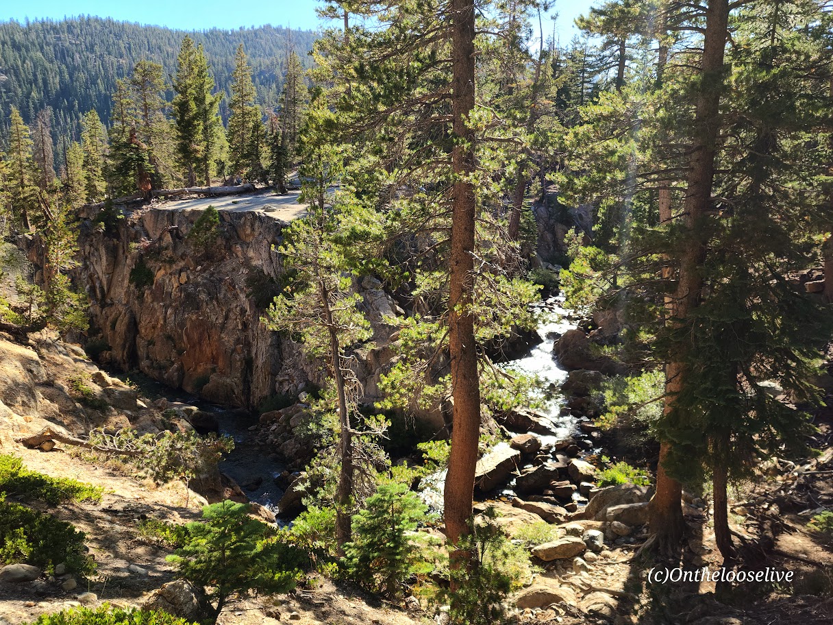
From Minaret to Devil’s Postpile, it’s all downhill with some rocky sections. Highlights include a wonderful, wide, terraced waterfall, and close to the end, a cool canyon area with a stream going through it, and finally, Johnston Lake.

Notes:

Get to the Agnew Meadows trailhead before 7am for self-drive and parking, or take the shuttle.

Equipment: Would poles have helped on the descent to Minaret? I’m not sure. Personally, I prefer to have my hands free. Prophylactically for me, knee braces would have been a good call, but not needed until the Minaret descent. If you’re going over 12 miles, I’d recommend hiking shoes. Much as I love hiking in light trail runners, my feet were beaten up/done at the end of this 17-mile day.

Was it worth it? ABSOLUTELY! I hope you can see why.

Happy Trails!

Above Zion Via Ferrata—Local Adventure With Splendid Views!

Via ferrata translates to “iron way”. A via ferrata is a route along a mountain or cliff face consisting of steel safety cables alongside thin steel rungs that you climb like a ladder. Simpler than rock climbing and canyoneering, it makes it possible for people to traverse cliffs and mountains that would otherwise be inaccessible. You wear a harness with 2 clips that you hook and unhook to the cable (one at a time) as you go.

Via ferratas can be traced back to the mid-19th century (presumably when they used iron to construct them instead of steel). During the First World War, the Italian Army used them to get troops through otherwise untraversable portions of the Alps. Via ferratas have since become popular as a safer, simpler option to rock climbing that still affords adventure seekers a thrill and adrenaline rush.  (Especially if you’re scared of heights like me.)

My boyfriend, Bernie, invited me to join him on this local via ferrata adventure. I hesitated for a second as videos of the dizzying and daunting via ferratas of Europe played in my head. But the appeal of Zion backcountry’s rarely seen, dramatic vistas “pushed me over the edge,” so to speak. Not to mention, I enjoy trying new things, getting out of my comfort zone, and challenging myself in new ways.

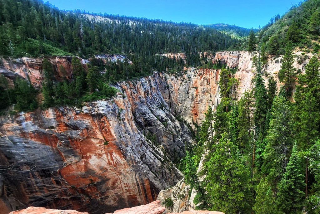
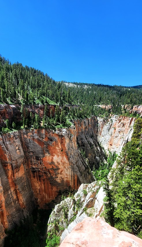
As it turns out, the Above Zion via Ferrata is quite tame. They’ve designed the course to be accessible for anyone “ages 8 to 80”. They equip you with the harnesses, clips, and helmets and a guide.Theoretically, if you can climb a ladder, you can handle it as long as your fear of heights doesn’t paralyze you. Views into this remote back canyon on the outskirts of Zion are splendid. The course is short, with 2 “exciting” sections and more trail walking than via Ferrata for a total of 2 miles roundtrip. A group ahead kept us waiting for them to finish at various junctures. The total moving time my Garmin recorded was 1 hour and 10 minutes. They describe it as a 4-hour adventure. (More like 2 hours at best, unless there are people in your group who really take it slow or freeze.) Sure, you can spend more time enjoying the views at the major lookout spots (as long as a group isn’t coming up behind you). There was a lovely waterfall in the distance, but we never got close enough for a good picture. I was hoping we’d go under it.

I’m sure good guides are hard to find, but… Ours was 20 minutes late and had a propensity to talk about himself. He missed one of the via ferrata sections and didn’t take us back to do it. At the end, he “slow walked” us on the trail and then forgot the combination to the gate while we waited in the side-by-side to get back to the starting point. (Actually, I got out and hiked up and was nearly there by the time they came by.) While he was nice enough to take pictures of us on his phone, he forget to send them.

Yep, that all happened. To be fair, it was the guide’s second day. Guess they are still working out the “kinks”. Cost was $130 per person to join a group. (We got lucky with a private experience.) Not the smoothest run operation, but it made for a fun morning, and a good introduction to via ferrata.

Kolob Canyon road views on the way are always nice too.

Happy Trails!

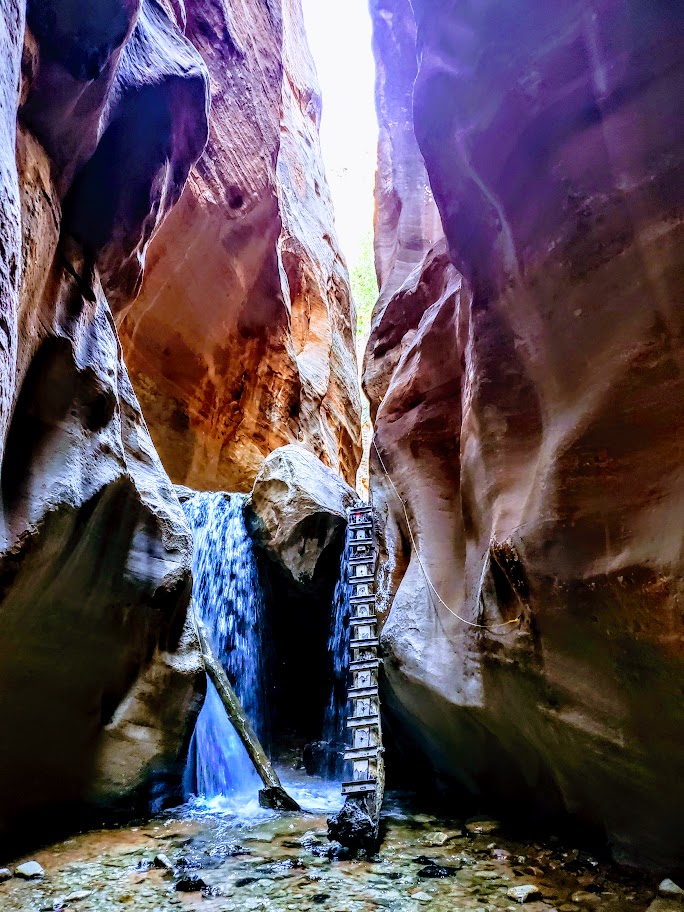
Kanarra Falls, A Short Hike to Two Wonderfull Waterfalls, Kanarraville, UT

Distance:~4 Miles Roundtrip

Elevation gain: 587

Difficulty: Easy +, though some might find the first 0.8 miles uphill challenging. After that, you’ll need to be mindful about your footing in the stream and on /off ladders and boulders if you attempt them. Know your limitations. It can take 7 hours for a rescue team to get here.

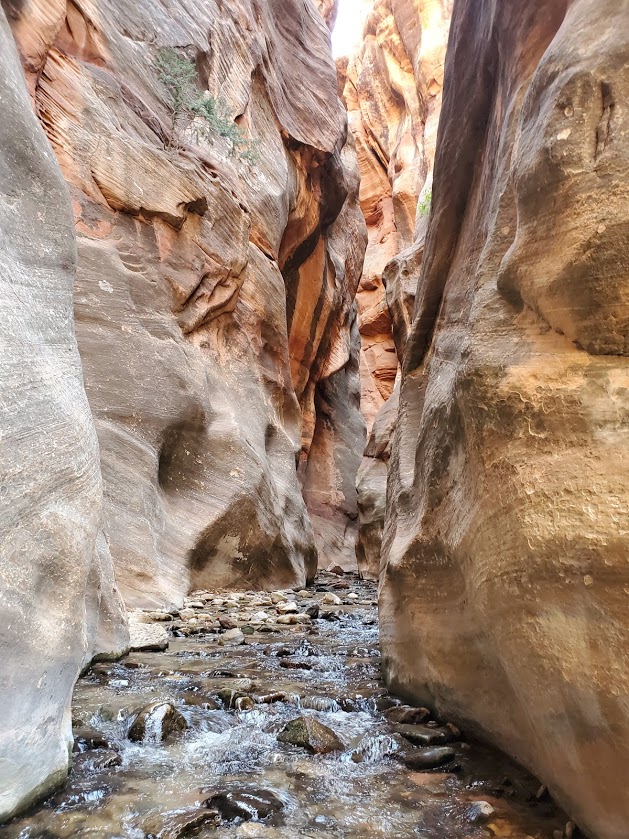
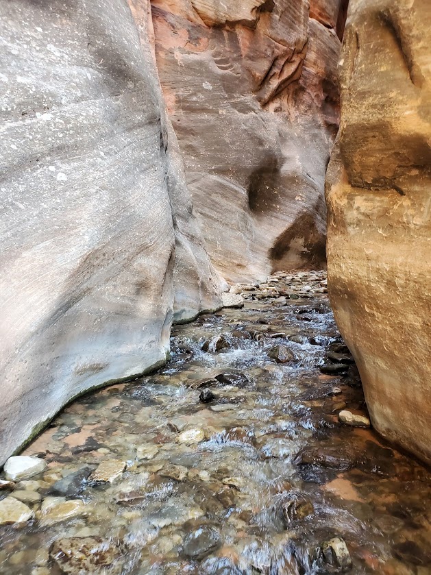
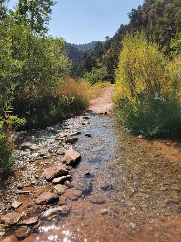
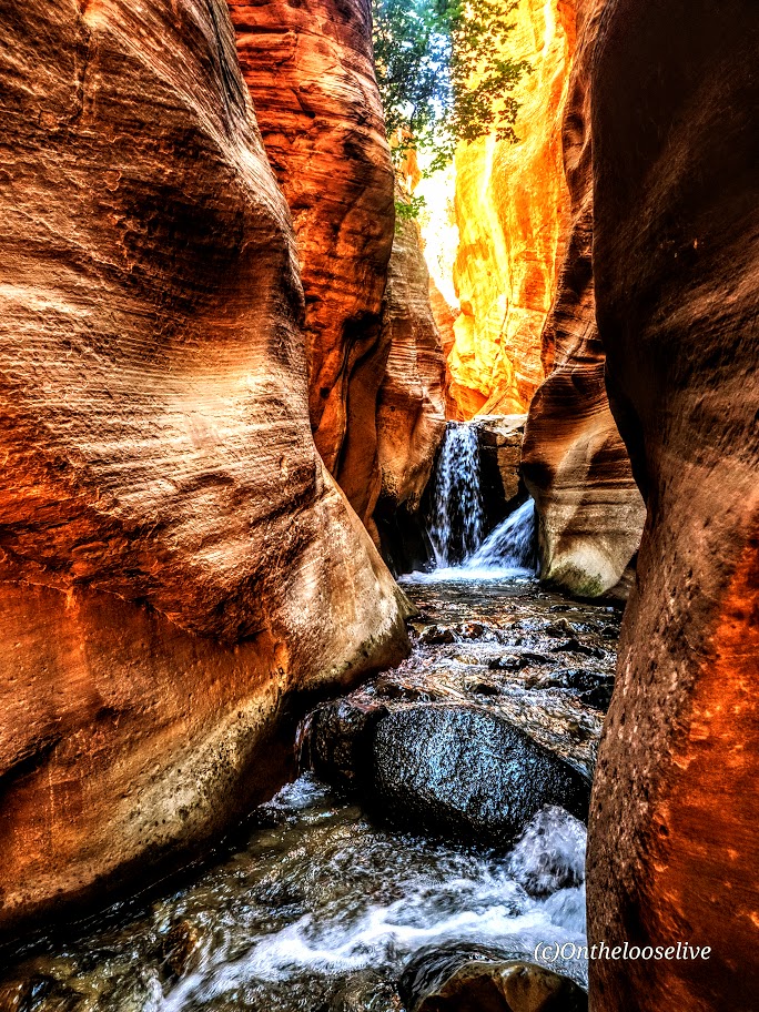
The first section of the trail follows an old access road (approximately 0.8 miles) up into Hurricane Cliffs before wandering into the lower, open sections of the canyon. This wonderful water hike takes you along a gurgling or rushing streambed (depending on the time of year) and into the narrows of the canyon.

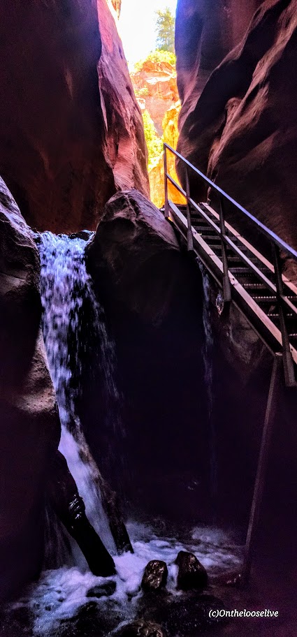
At 1.6 miles, you’ll reach the first waterfall.

Update 2024

At the first falls, the previous sketchy 20-foot leaning “ladder” with small metal rungs and no handrails has been replaced with a stable staircase with handrails. Sigh—the thrill is mostly gone, but it is safer and more accessible.

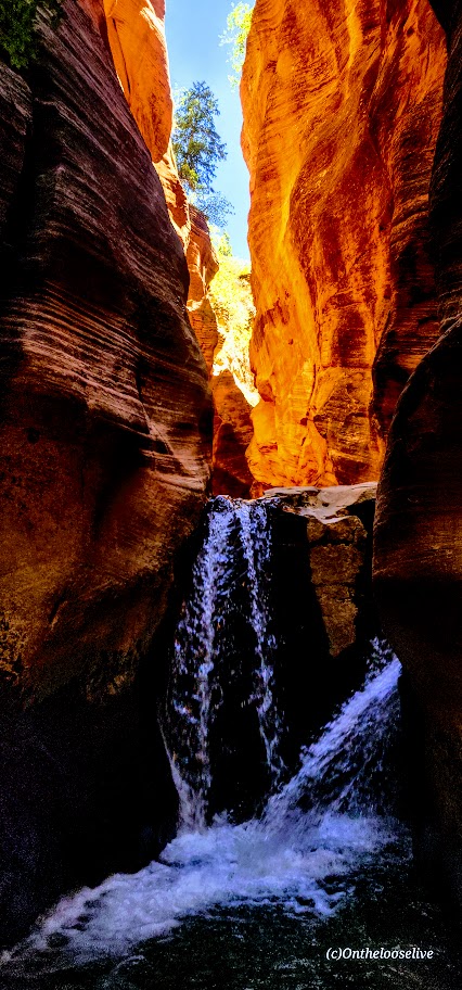
At 1.7 miles you’ll reach the second falls, which requires climbing over a slippery boulder. At 1.9 miles, you’ll reach the last falls and the turnaround point.

I caught some great light on my recent visit. Stay tuned for the videos.

WARNING: Flash floods can occur at any time of year but are most common in the afternoons from July through September.

Notes: Requires a nonrefundable permit for $15 per person. (WORTH IT.) Happy they permit this hike to limit the number of people per day and keep it clean. Unfortunately, they allow a whopping 200 permits a day PLUS large “commercial groups” of up to 20 people per day, which seems excessive (understatement) for this short trail with a single-file staircase, narrow slot sections, and the climb over the boulder. When crowded, it turns into a Disneyland waterpark madhouse with lines and logjams forming in those areas, which can ruin the experience for anyone else stuck behind or between groups.

Pro Tip: Your best bet to enjoy this beautiful area without the noisy hoards is to go early or late in the day on a weekday.

Open from dawn to dusk.

Wear water shoes or running shoes that you don’t mind getting wet. In my opinion, no need for poles.

No dogs. There are bathrooms at the trailhead.

Getting there: From Cedar City, take 1-15 South and then exit at 51, Kanarraville (if you’re coming from the south, on I-15, take exit 42). Either way, go east on 100 North, drive to the end of the road and the trailhead parking lot.

My happy place!

Happy Trails!

LEAVE NO TRACE.

3 Day Mt. Bike Adventure. Part 3: Chiang Mai to Chiang Rai.

Had an incredible day of delightful single track through the forest and miles of dirt roads through remote countryside. It was topped off with the Chiang Dao Cave  and ruins exploration and by my best meal yet here in Thailand at a local open air restaurant near the cave. The tumeric chicken dish on the right was an outstanding flavor feast!


After our afternoon ride, we closed the day in comfort and beautiful surroundings at the rustic mt. biker’s haven, Padeng Lodge.


Back on the bikes at 8 am the next morning with more wonderful single track and back roads to explore. I had to make a pit stop along the way and that’s when we discovered this delightful coffee shop/ vineyard/farm – something you might expect to see in New Zealand.

Midday, we stopped for lunch in bustling Fang at a Muslim noodle shop.


While I have a thing for the name Fang, I wasn’t crazy about it. Of course, this dose of civilization was a bit of a shock to my system after all the remote countryside we’d traversed by bike and following my Karen Hill Tribe trek earlier in the week. Thankfully,  it was only a matter of minutes before we were on back roads again, passing scenic mango, garlic, eggplant and rice plantations along the way.

This slideshow requires JavaScript.

After roasting on the bike for the better part of the day, I was quite happy to roll into Thaton, a small riverside village with lots of charm where’d I’d staying the night on a hotel with AC. To be continued…