Difficulty: Easy, mostly flat, soft surface, and obvious trail with soem stream crossings.
Length: 5.8 Miles RT
Elevation gain: ~700ft
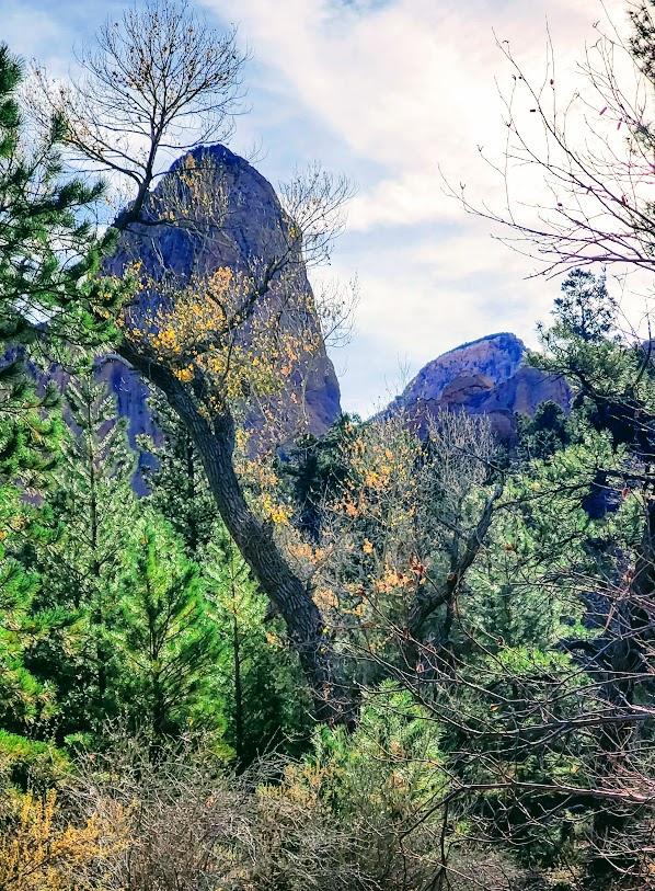
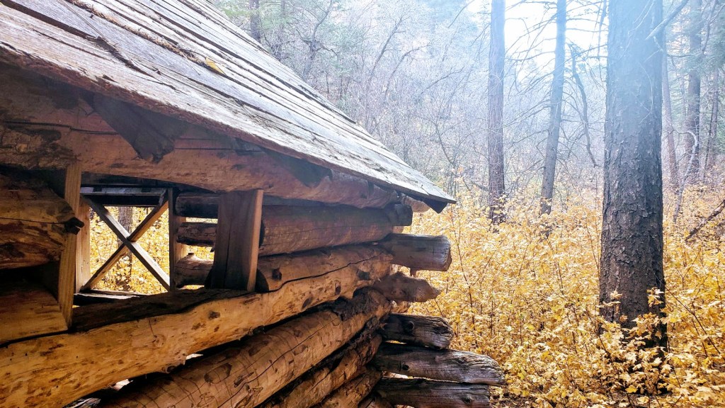
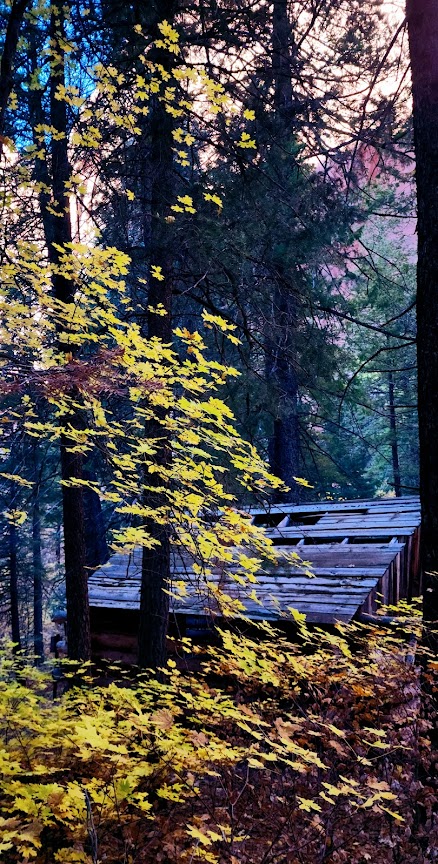
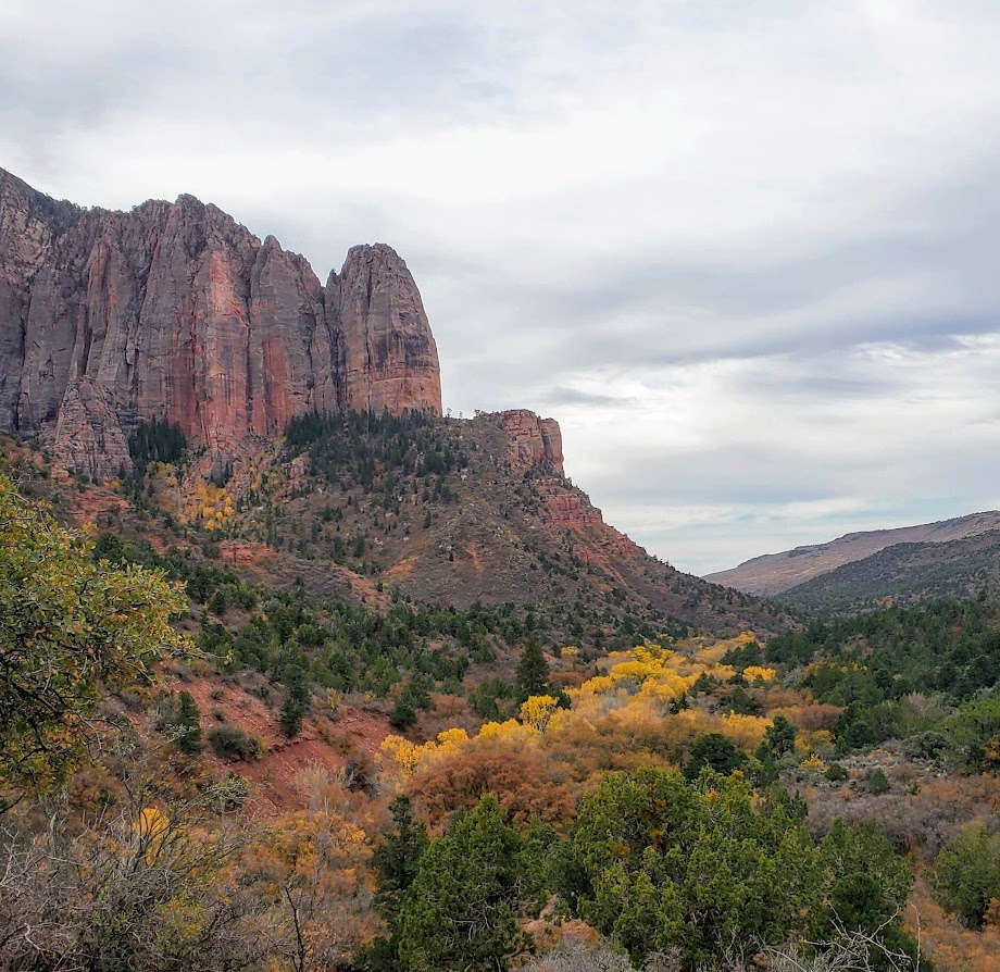
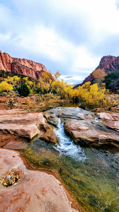
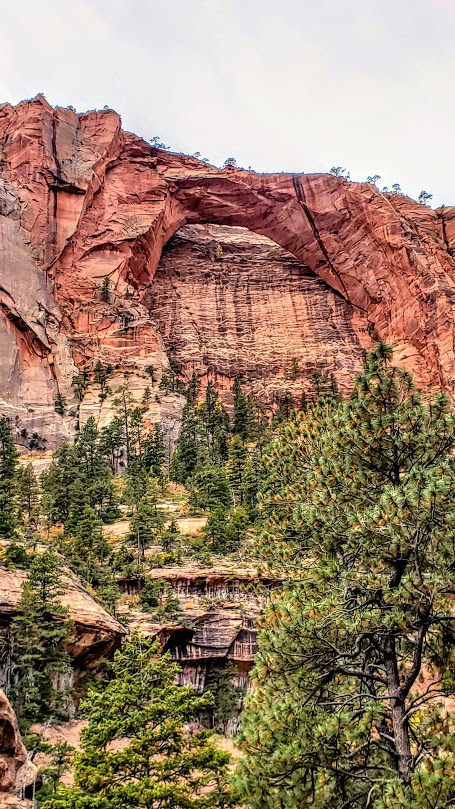
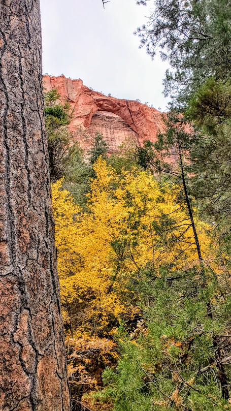
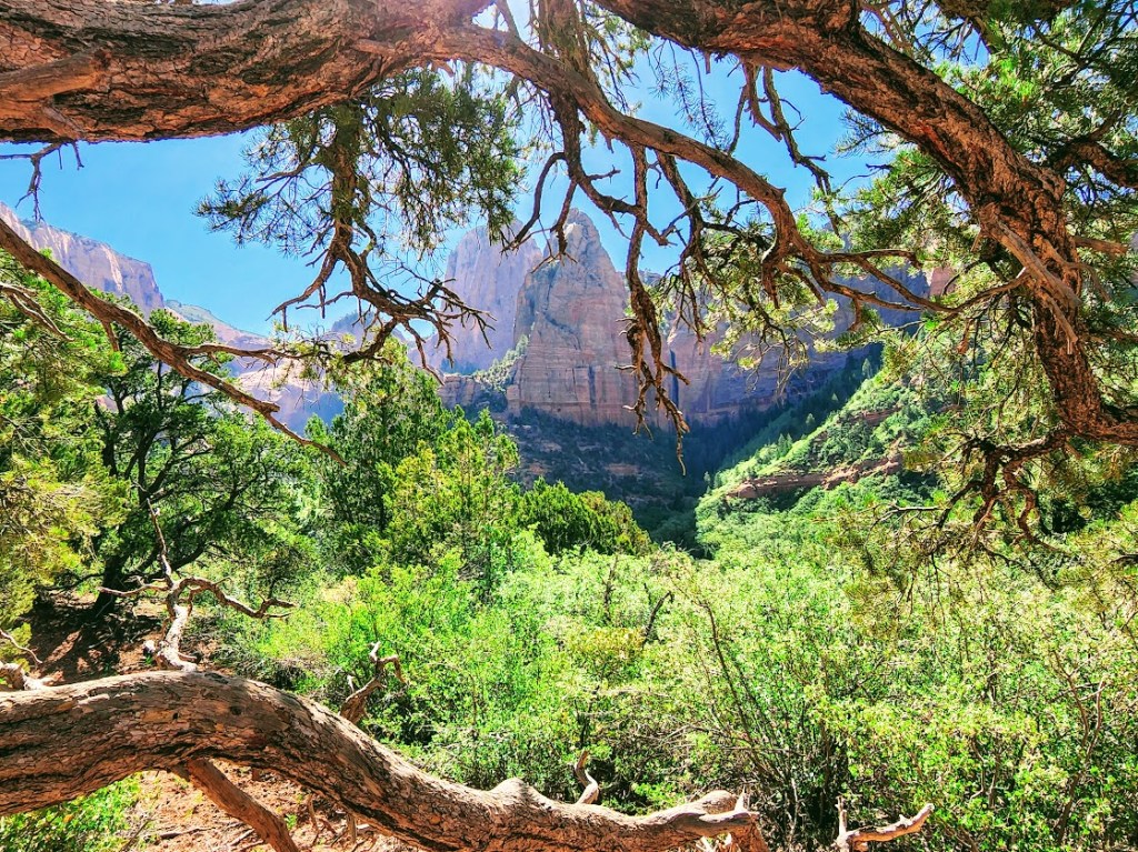
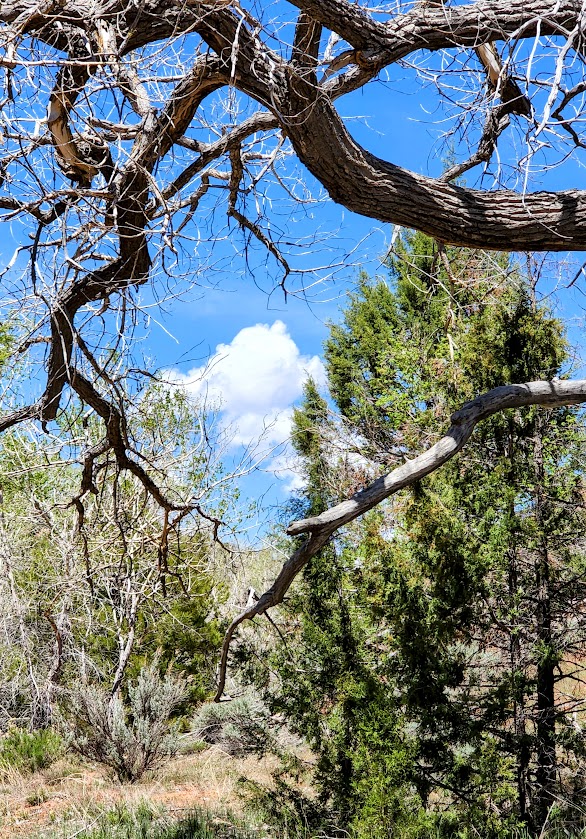
This lovely, woodsy hike in Kolob Canyon features a creek, 2 historical cabins, and a double, closed “arch”, and a seasonal micro slot waterfall. (For an open arch hike head up the road to the Kolob Arch Trail.)
The first cabin you’ll encounter on this hike is the Larson Cabin, the second is the Fife Cabin—both were built by homesteaders around 1930.
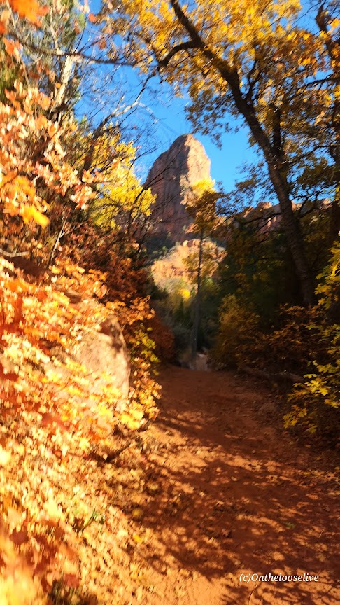
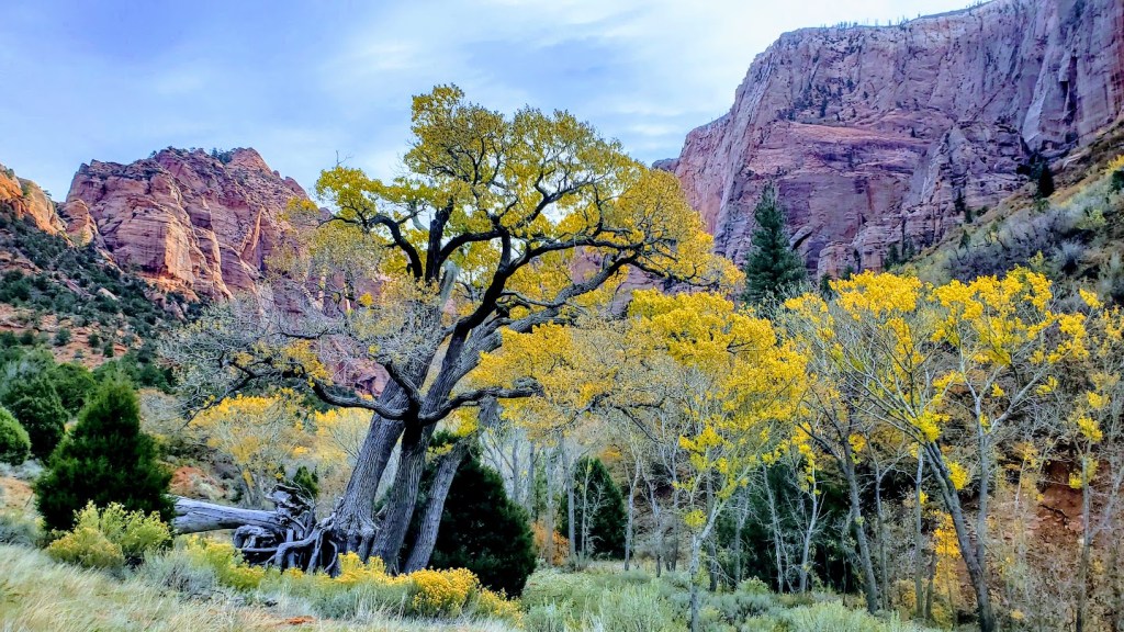
Especially enchanting in the Fall, this hike is a treat any time of year.
Notes: This is mountain lion territory. You may see tracks. Hike aware and keep small children near you. Since this is an easy, beautiful hike, it’s quite popular. Go early to enjoy more solitude.
Getting there: Exit 40 on I-15. This is the Kolob side of Zion National Park, so you’ll need to check in at the office with your National Park Pass or pay the entrance fee. Follow the scenic drive to the Taylor Creek parking area on the left.
Difficulty: Moderate to strenuous depending on your fitness level, definitely a little longer than your standard day hike, mostly smooth, sandy terrain, great for trail running
The trail begins at the Lee Pass Trailhead off of Kolob Canyon Road / Scenic Drive. You’ll drop quickly into the canyon (770 ft in .75 mile) and traverse through the forest on a gentle, sandy path for the first 4 miles or so.
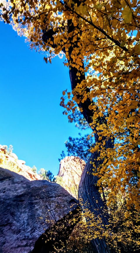
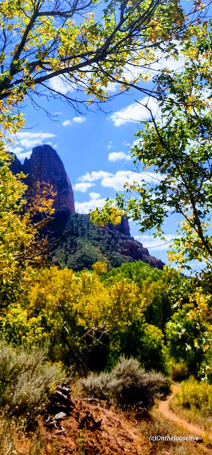
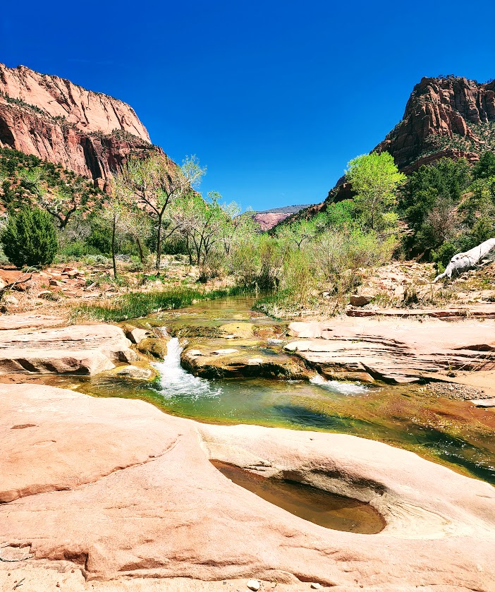
And then it gets even better. Zion vibes without the Zion crowds. After descending another 1k ft, you find yourself surrounded by dancing aspens and majestic red cliffs. This is where you’ll get your first glimpse of lovely La Verkin Creek. Oh, my—a perfect spot to pause and take in all the beauty. I’ll be back just for it. Fall is a splendid time for this hike, but I’m sure spring and early summer are delightful as well.
Continue following the trail along the creek another mile or so until you reach the junction for Kolob Arch. This trail is less distinct and a little more rugged. The distant view of the arch (possibly the largest free-standing arch in North America) is ok, but wow factor is a bit muted without a blue sky backdrop.)
You can continue up the canyon to Beartrap Canyon and Willis Canyon or head out to Holob Canyon and Kolob Terrace Road.
There are 13 camping sites along the trail. Reservations are required and can be made online, but 2 backpackers I met on the trail told me that they were able to get their pass the same day.
Notes: Sadly, toxic cyanobacteria have been detected in La Verkin Creek. No dogs are allowed in Zion Wilderness (a good thing as dogs have been known to die within minutes of exposure to the cyanobacteria). Bring plenty of water as you can not filter water with cyanobacteria.
Happy Trails!
Revisited the trail recently to see La Verkin Creek show off her Spring look. She did not disappoint.
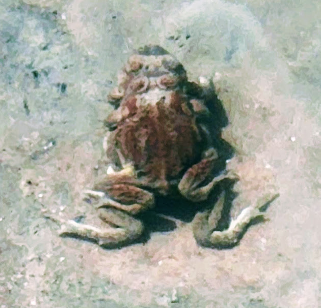
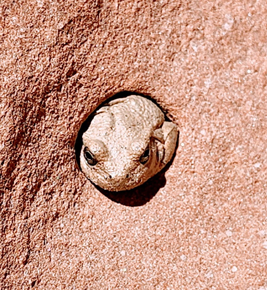
Funny wildlife encounter story. Well, it’s not funny if you’re the frogs or me. While I was “Wim Hoffing” it in the creek (careful not to submerge my head), I sat on 2 frogs in the midst of a tryst. Unfortunately, it would be their final, though eternal, encounter. (Gives new meaning to “happy ending”, doesn’t it?) In the meantime, as I was exiting the delightful natural pool, I almost grabbed onto a snake. There’s bound to be one in paradise, right? Notes to self, look before sitting and before placing a handhold. The harmless snake was lying in wait for the plentiful frogs. Little did he know that I’d arranged a 2 for 1 for him. Back on shore, a frog eyed and ID’d me as the culprit.
Other than that, the play/day was uneventful and beautiful. And, yes I still feel guilty about the frogs.
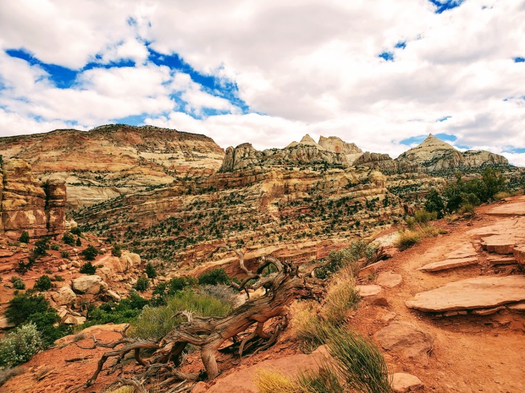
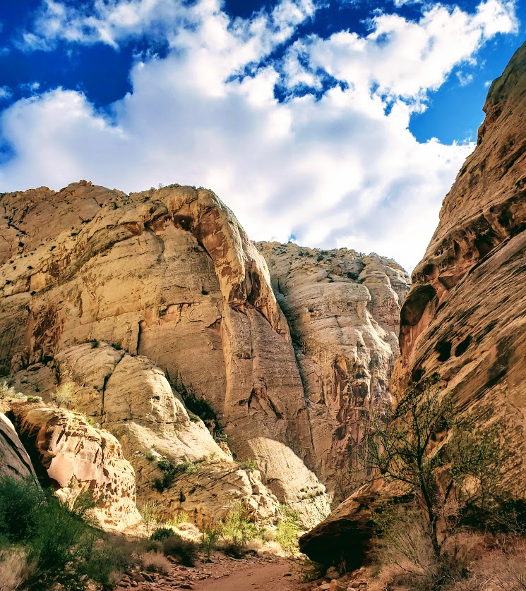
When you have limited time, it’s always difficult to decide which hike to do. This was my dilemma on a recent trip to Capitol Reef National Park. Bottom line, you can’t really go wrong—any choice is a good choice when your surrounded the striking red, white and golden sandstone landscape, canyons and rock formations of Southern Utah. My 10 mile sampler included Cassidy Arch, a taste of Frying Pan, and Grand Wash.
Cassidy Arch
Length: ~3 mi RT (out & back)
Elevation gain:666 ft
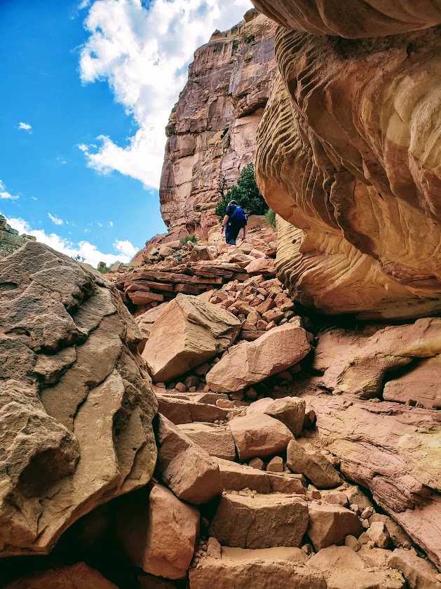
Difficulty:Moderate depending on your level of fitness, and comfort with hiking rocky terrain
From Cassidy Arch, you can extend your hike by following the signs for Frying Pan Trail, and trek over the Fold—turning back and retracing your steps, or continuing down into Cohab Canyon.
Grand Wash
Length: ~6 mi RT
Difficulty: Easy, flat
The Grand Wash trail follows the gorge as it carves its way through the upper portion of the Waterpocket Fold and connects through to Highway 24 just east of Spring Canyon. At the narrow, the rock walls close in, a half mile of slot canyon vibes – a thrill for those who’ve never experienced a slot canyon.
Post to come on where to feast and luxuriate after your day of hiking.
Elevation change: ~380 ft first section down /last section up
Difficulty: Easy for fit folks, others may struggle with the sandy terrain and the short climb at the end. Also, it’s 100% exposed so avoid when hot, and bring your hats, sunscreen & H20.
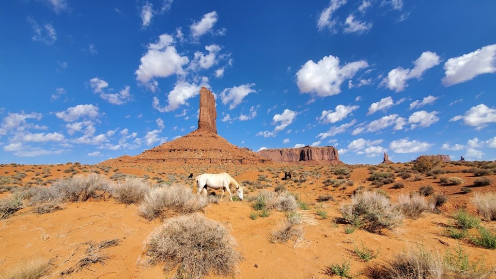
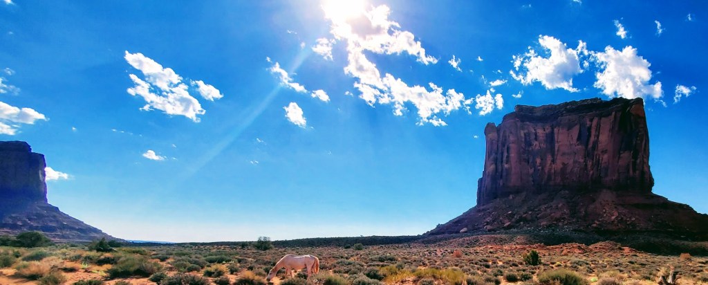
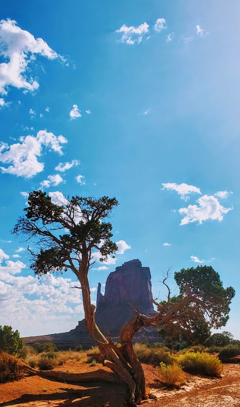
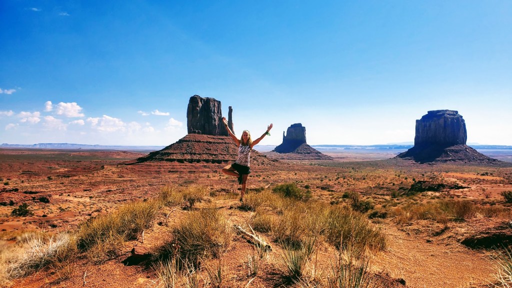
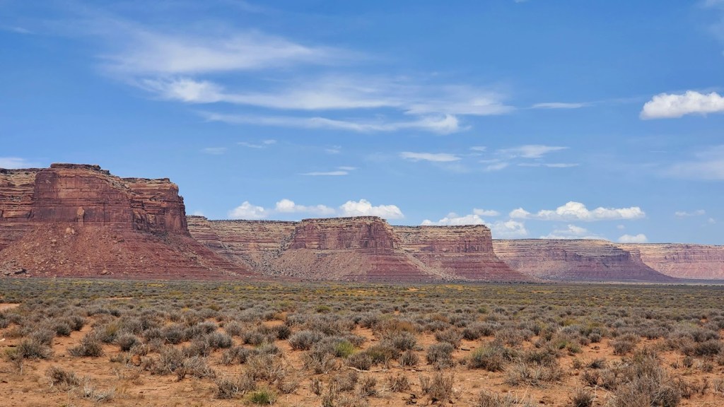
The sandy, mostly flat, Wildcat trail loops around West Mitten Butte and provides views of East Mitten Butte, Merrick Butte, and the wider cliffs of Sentinel Mesa along the way. As you enjoy the iconic Southwestern walkabout, you may get lucky as I did with an appearance of local equines. Film buffs will recognize this scenery as the backdrop for many Westerns.
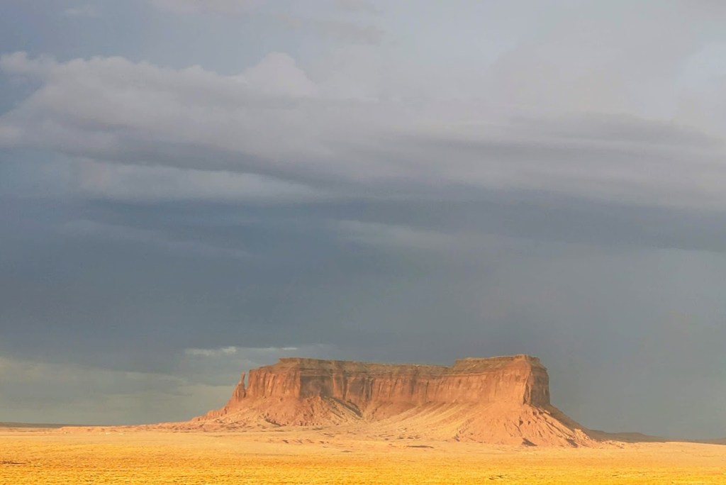
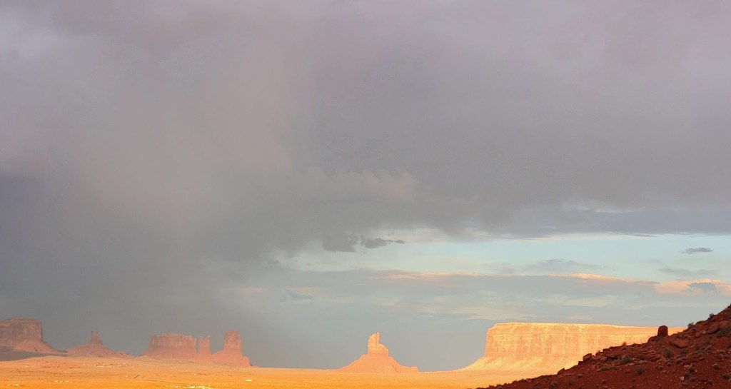
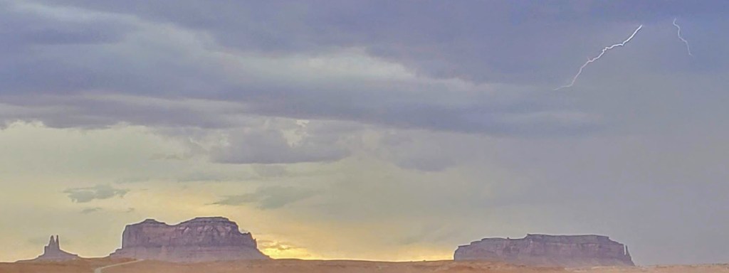
I was super lucky to see a storm here. The golden light was ethereal–it appeared that the magnificent landscape was floating!
Entry Fee: $20/car for up to 4 people, and $6/additional person. No dogs allowed.
Getting there: From Mexican Hat, UT, drive south on HWY 163. You may notice the famous “Forest Gump Hill” where Forest Gump stopped running and decided to return home to Alabama and his love, Jenny. At mile 20, make a left onto Monument Valley Rd and follow it for another 3.3 miles to the Park Entry. The trailhead and sign in are at the far end of the Visitor Center parking lot towards the camping area.
If you’d prefer a car photo safari, there’s a 17-mile, scenic, dirt-road drive through the valley that you can take. Speed limit is 15 MPH.
Difficulty: Somewhat strenuous due to consistent descent and ascent, some slippery footing and scrambling—minimal “exposure” as far as danger level, but 100% sun exposure. Not for the weak of knees or heart. Poles recommended.
Named after its creator, Henry Honaker, this rugged route dates back to the 1890s and the heyday of Utah’s Wild West gold rush. Thank him for this scenic, cliff-hugging trail that originated as a supply route from the San Juan River to the rim ledges. While the gold rush here was short-lived, the trail has been a long-lived attraction for scientists, geologists, recreational hikers, and rafters. The dramatic geological formations date back 300 million years and are a source of fascination for all.
As you descend the trail, you may note how the rock colors and their composition change. As you pause to take in the panoramic views, catch your breath, and gulp some water, keep your eyes open for fossils (including crinoids, brachiopods, and various trace fossils). In the dry and sometimes unforgiving desert, it’s hard to imagine there was a time when all of this was underwater.
The yellow numbers that you’ll see painted on the cliffs are remnants from a 1952 field symposium on the rocks of the Honaker and Paradox Formations, not a tabulation of the numerous switchbacks though they may seem so.
While it’s always a reward to jump in a lake or a river on a hike, the silty San Juan River may refresh you but likely won’t dazzle you with her mud-colored water.
The Honaker Trail is a great, off-the-beaten-track adventure hike and a must-do for geology buffs. We only encountered a couple of rafters exploring the bottom reaches of the trail.
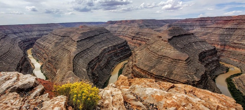
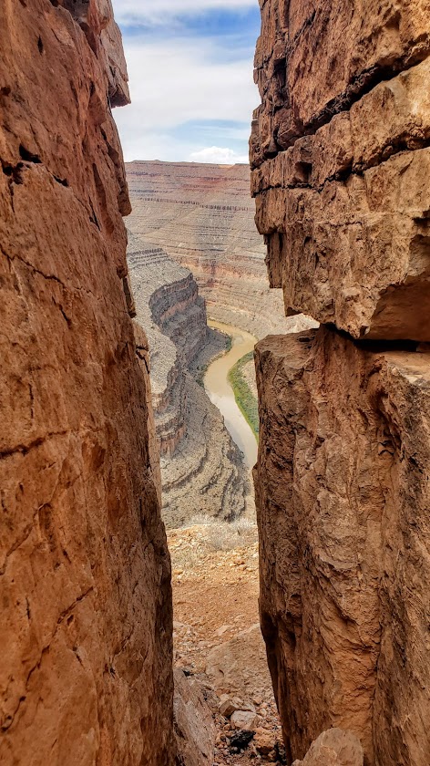
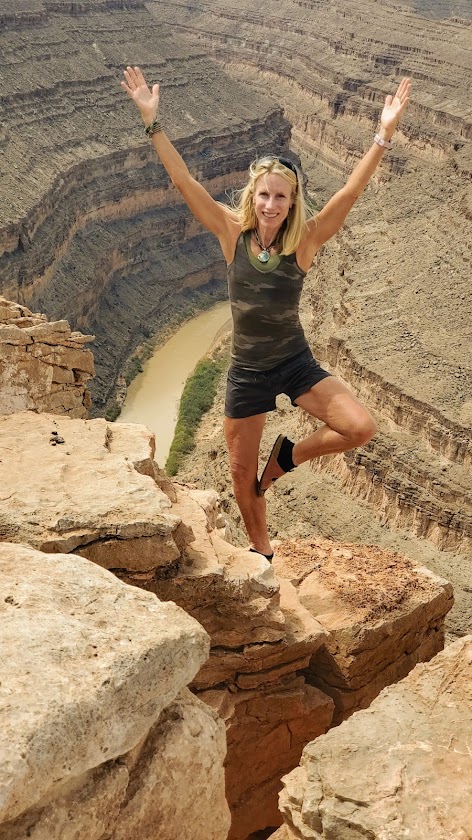
Notes: Of course, you must drive into Goosenecks State Park itself to enjoy the main panoramic viewpoint while you’re there. The feature photo is from that viewpoint as are these next two.
On a clear day, you can see Monument Valley in the distance. Bring an excess of water & Gatorade—what you think is too much will be just right. This trail is completely exposed, so get an early start if you’re going in the summer and be equipped with sunscreen, a hat, and EXTRA water. (Yes, I know I mentioned that already.)
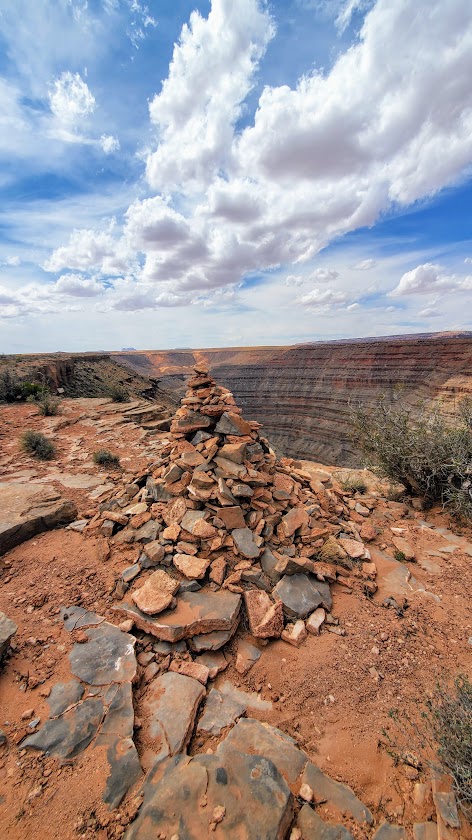
Getting there: There are no signs for this trailhead. It’s marked only by a huge cairn pyramid at the start of the trail and at the bottom. At Goosenecks State Park, take the dirt road at mile marker 3 (before the entry gate) and stay left when it forks. A 2WD car can make it to the first unmarked “parking area,” and it’s just .25+ to the trailhead from there. Otherwise, a 4 WD, high-clearance vehicle can take you to a “parking area” closer to the trailhead.
It’s a scenic drive as well.
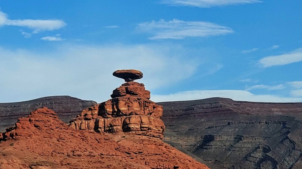
Oh, and here’s a pic of Mexican Hat along the way. Beauty everywhere you look.