Summiting Magnificent Mount Timpanogos: Waterfalls, Wildflowers, Wildlife, & Wild Views—Oh my!

Elevation gain:5,384ft

Mileage: ~15 Miles RT

Summit: 11,752ft, the 2nd highest mountain in Utah

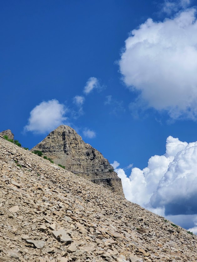
Difficulty: Hard, strenuous – due to altitude, elevation gain, and ~1.5 miles ea way of an unstable, tortuous, talus field

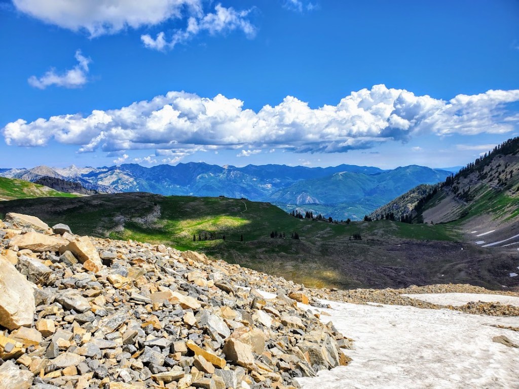
Happened to be in the area and made the spontaneous decision to hike Mount Timpanogos via the Aspen Grove Trailhead. So glad I did. By far, Mount Timp (as the locals call it) is my new, all-time favorite hike / peak. And I’ve done a ton of hiking across the country and around the world. I couldn’t stop smiling all the way to the 11,752-foot summit and back. Ok, maybe my smile was a bit of a grimace through the 1.5 miles back and forth across the treacherous talus strewn avalanche field.  Rest assured, the grimace quickly reverted to ear to ear, exuberant glee once I reached the summit and then again as I descended back down to the lake.

What’s make Mount Timpanogos so wonderful, you ask? Well, the title gave it way, but in case you missed it:

  • Abundant colorful, wildflowers of more varieties than I’ve ever seen
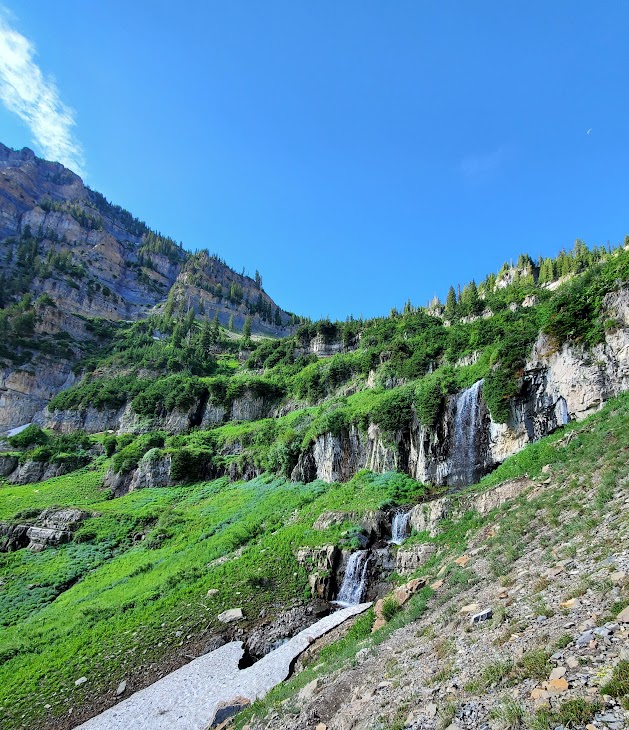
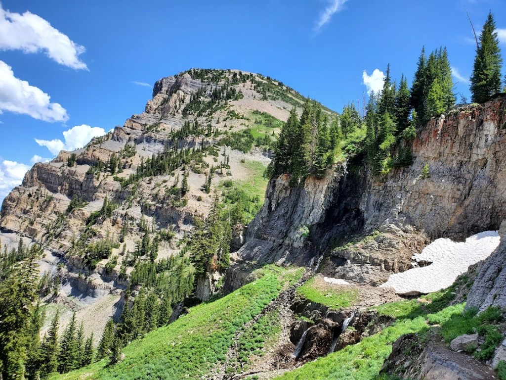
  • Dazzling waterfalls around nearly very switchback
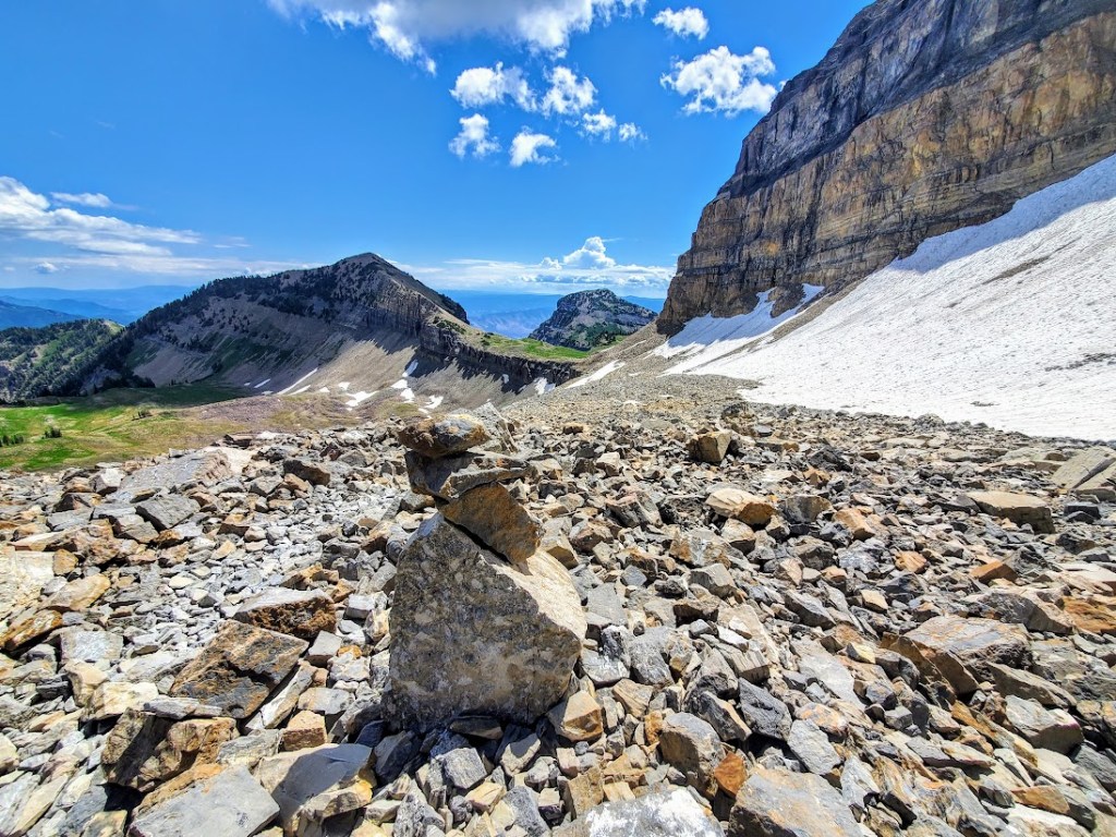
  • Pristine alpine lake and snow field a couple miles from the summit
  • Muscular mountain goats guarding the upper slopes and frolicking by the lake
  • 5,384 ft elevation gain in altitude delivers a fitness challenge and solid workout
  • Sweeping views of Utah Valley from the saddle and spectacular panoramic views from the summit

This hike had it all—absolutely enchanting.

Started the trail in a steady rain, and walked up a verdant paved path for about a mile and a half or so before the pavement gave way to the elements.  Plentiful wildflowers and sparkling waterfalls distracted from the effort of the climb and the sun’s radiance soon highlighted all of the beauty, mist rising. The trail is easy to follow with plenty of switchbacks to help mitigate the elevation gain. It felt almost tropical at times.

The lovely Hidden Lake Basin and Emerald Lake are destinations for many, including the mountain goats.

Those who push on beyond the mile and ½ talus torture field and onward and upward still, are well rewarded at the summit.

Pay your respects to the kings of the mountain along the way. If you have good eyesight, you might spy the summit hut from thousands of feet below. It’s a bit daunting and exciting because it seems so far away, almost out of reach.

From the summit, you’ll take in dizzying 360 degree views of Utah Valley and Utah Lake to the west, Lone Peak and American Fork Twin Peaks to the north and expansive views everywhere in between.

Disclaimer: I experienced Mt. Timp in her July glory. I was told by locals that I wouldn’t recognize her in the Fall when the waterfalls are dry, the wildflowers have disappeared, and the green meadows have turned to yellow hay. Others report that Fall colors are nice here. Someday, perhaps I’ll be back to see for myself. In the meantime, if you’ve been in another season, let me know what it was like.

Notes: I’d say hiking shoes are a must to navigate the talus field. There were some hard core, ultra runners in trail runners. (I know – WOW!) Hiking poles are also a nice to have, given the elevation gain and loss. Layers are always smart at altitude. Be aware of weather changes and avalanche danger.

Getting there: I-15N to Pleasant Grove, exit 275. Follow N County Blvd and UT-92 E to the Aspen Grove Trailhead.

Stay tuned: I’ll be posting the videos soon!

Happy trails!

Beautiful Bridal Veil Falls, Provo, UT

Too many wedding guests, but if you’re up for the scramble to the bride, you’ll lose the crowds.* Since this lovely 607-foot-tall, double cataract waterfall is just off US189 within close reach of a metropolis (SLC), it’s heavily trafficked (overrun). More of an attraction than an excursion, this 1.4 mile stroll is on a paved and dirt path. It is literally a walk in the park with the added scenic bonus of the Provo River running alongside the trail.

https://www.youtube.com/watch?v=W5CeQgqmavo

*Disclaimer: Scrambling can be hazardous—a man fell to his death hiking here not long after I visited. https://www.usatoday.com/story/news/nation/2021/07/19/man-bridal-veil-falls-utah-falls-death-boy-left-alone/8018440002/

Apparently, there is nearby trail to an upper falls – aptly named “Upper Falls”, but it’s unmarked and difficult to find—maybe next time.

Getting there:  UT-52 E/W 800 N and US-189 N/E Provo Canyon Rd and follow the signs.

Nice stop to stretch the legs if you’re road tripping to Sundance or Park City.

Happy Trails!

Otherworldly Fantasy Canyon, a roadside geological wonderland

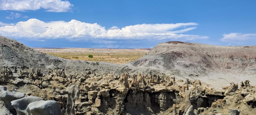
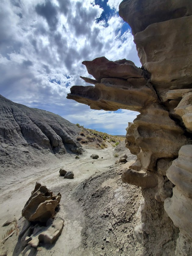
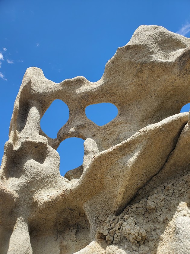
A small, relatively untraveled, roadside attraction, miniature Fantasy Canyon contains some of the most unusual geologic features in the world. Here, 3 types of rocks (mudstone, claystone, and sandstone) eroded at different paces, creating wild formations that rise from the barren badland topography like a sci-fi city.

A short 0.6-mile loop trail will transport you into a bizarre world. You’ll walk by dragons, intricate gates, and alcoves. It’s a stone Rorschach experience—a place to let your imagination run free.

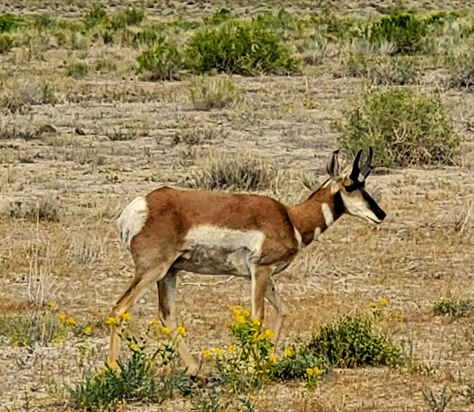
Speaking of running free, if you’re lucky, you might see some of Utah’s wild horses and pronghorn frolicking around this remote area. It’s quite a treat!

(What’s not a treat, is seeing all the oil drilling on BLM land.)

Getting there:
From Vernal take UT 45 for 25 miles southeast, then go south on the oil company service road. Follow the signs for Fantasy Canyon.

Happy road tripping!

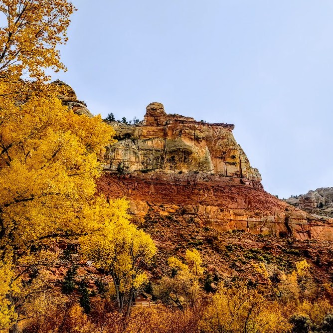
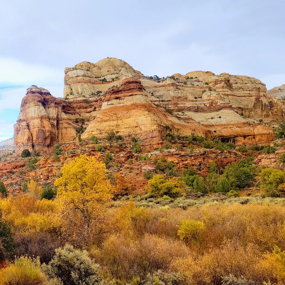
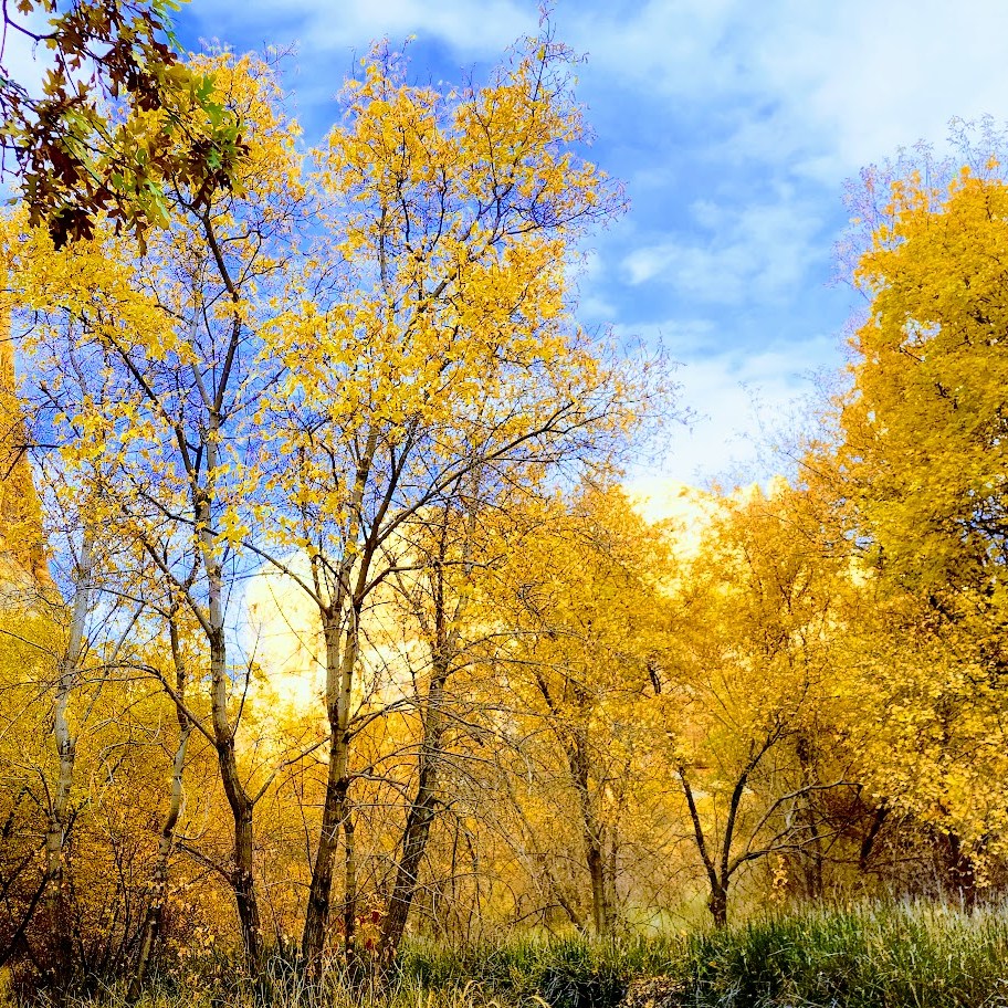
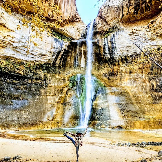
Lower Calf Falls, Especially Lovely in the Fall! Grand Staircase Escalante, UT

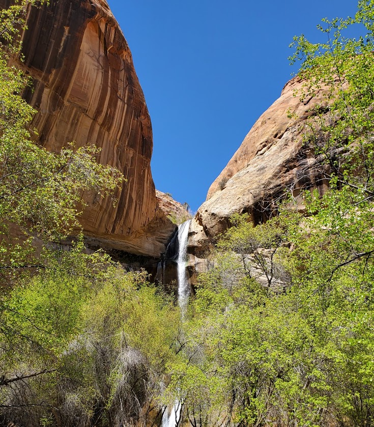
Lovely Lower Calf Falls, Grand Staircase Escalante, UT

Distance: 6 miles

Elevation: ~500 ft

Difficulty: Easy (with a fair amount of thick sand walking)

Highlights: 126-foot cascade into a shallow pool, giant petroglyphs in the distance

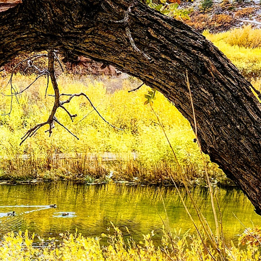
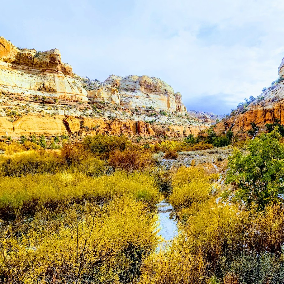
I was fortunate to return to Lower Calf Creek Falls in Autumn, and it was spectacular! Traces from the season’s first snow accented the gorgeous Fall colors and seeing the waterfall framed in golden leaves was glorious. So much beauty! And thankfully, with the cold, wet weather, there were only a handful of people on the trail. Can’t imagine a better way to experience this magical place!

As you can see, this amazing gem is definitely worth a visit. Lower Calf Falls cascades over a nearly vertical cliff face into a large pool that is enclosed on three sides by sheer Navajo sandstone walls. Pick up an interpretive pamphlet at the trailhead to learn about the flora along the trail and giant petroglyphs in the distance (too far in the distance to get a good pic).

Summer Slide Show

Without question, Grand Staircase Escalante is National Park caliber and deserves to be preserved and protected. Stay tuned for more posts on this area!

Notes: This is a very popular destination for obvious reasons. Go early / late to avoid the crowds. Off-season in stormy weather will deliver more solitude.

Get the scoop on Upper Calf Creek Falls.

Soapbox: If you bring pets, please pick up their poop! This trail (single track in many spots) and the falls’ area are small and quickly becoming overrun and overused. One fellow watched me watching him after his Labrador left a big poop pile on the trail. He took out a poop bag, and then when I turned away, he tucked the bag back in his pocket and left the steaming pile! ARRRGH! No respect for fellow hikers or nature. They should permit this hike, at least on weekends, and fine those who litter and leave their dog’s poop. Don’t get me started about the imbeciles who bag poop and then leave the full bag. I can’t get my head around people who go somewhere to enjoy nature’s beauty and then defile it.

Getting there: Highway 12 to the BLM-managed Calf Creek Recreation Area. The parking lot has limited parking. Go early, or you may have to park along the highway.

Happy Trails!

Gardner Peak Trail Is Quite Grand, Pine Valley UT

Distance: ~9 miles

Elevation: ~2,900 ft

Gardner Peak Elevation: 9,488ft

Difficulty: Moderate to hard, depending on your fitness level and route-finding skills

Highlights: Forest, meadow, wildflowers, rock gardens, peaks with panoramic views

Terrain: At times sandy, rocky, sooty, deadfall hopping, and scrambly fun

I found the Gardner Peak Trail in Pine Valley quite grand. Indeed, it may be my new favorite Pine Valley hike. The Gardner Peak Trail delivers on several levels—it’s varied and interesting all the way to the top. It’s a steady, but fairly gentle climb (2k) through forest, through nature’s rock gardens, through a meadow, (and a recent burn area), and on up to a couple of peaks—2 rocky and the one, eponymous, taller tree-lined Gardner. Pick a peak, any peak, and play. Plenty of grippy, rock scrambling opportunities. The panoramic views are a delightful reward as well. The trail is easy to follow and trail run-able until you get to mile 3. After that, all bets are off. It quickly becomes a route-finding (or create your own route) obstacle -course challenge through deadfall, boulders, scratchy shrubs, and more. If you don’t have a Garmin or All Trails, you might settle for the beautiful “false peak” rock outcropping with panoramic views a I did my first time through.

Second time is a charm of sorts. Went back to find the “real peak” —this time with my friend and extraordinary explorumentary blogger, Sue Birnbaum and her husband, who were nice enough to guide me and my friend Robin to Gardner Peak. It’s another mile or so from the false peak and about 800 feet higher. It involves some serious scrambling, deadfall and boulder obstacle course maneuvering, and some fancy footwork. Fun times for sure. (No major exposure or technical areas per se.) Would I do it again? Not so sure. There aren’t any panoramic views from the peak so when I do the hike next, I’ll be shooting for my preferred false peak – see slide show above. I did sign in to make the peak bag official. Interestingly enough, we came across another sign in “station”—one with rock mound around a encapsulated plastic container of old loose pages- – the other with an intact notebook. So I guess that makes 2 false peaks-lol. The next slide show is from my Gardner Peak take 2 . Extra bonus—lots of wildflowers from the recent rains and little Zen streams along the way. Nice to see the area green and thriving after the past fire.

Notes: If you’re going to the peak, I suggest using a GPS or the AllTrails app. Also, be sure to check out Sue’s blog for more detailed notes on this hike.  Your feet and ankles might be happier in hiking boots. If you’re peak-bound, pants are recommended to spare the skin on your legs from scratches, scars, and impalement from errant branches, rocks, foreign objects – you get the idea. Mine looked like I had a brawl with a mountain lion and it won. If you have tender knees, a pole or 2 might come in handy on the descent. Dogs & horses are allowed.

At about .75 the Gardner Peak trail connects with the Canal Trail, which is both run-able and mountain bike-able.

Check out these other Pine Valley hikes:

Forsyth Trail

Brown’s Point

Whipple Valley

Happy Trails!