Total Mileage: ~38 Miles
Elevation gain: ~2,500 ft
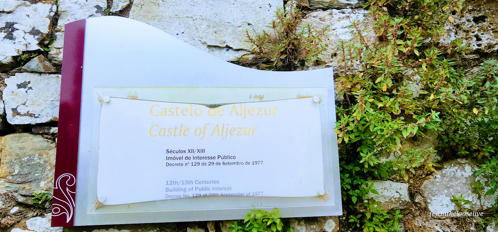
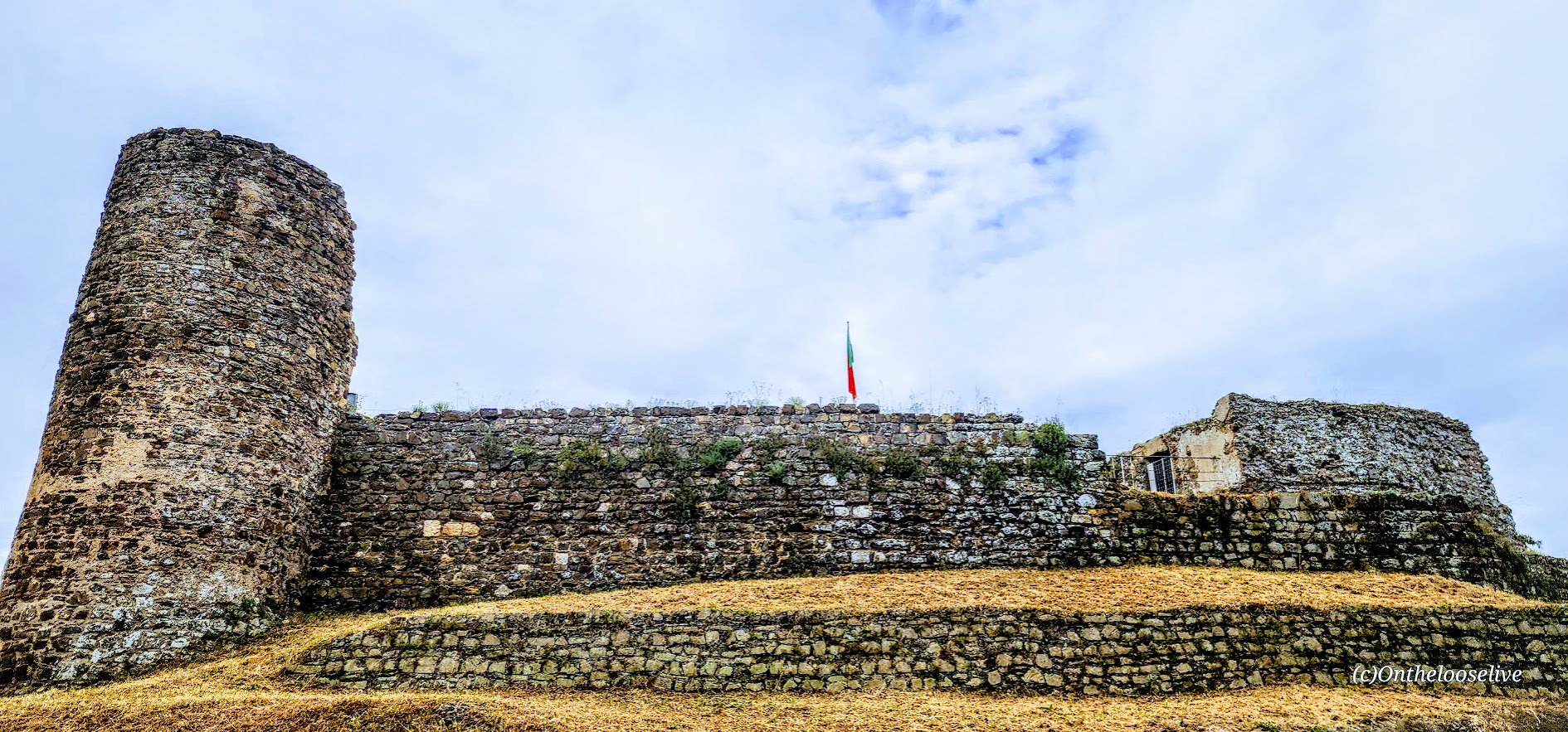
Biking day 4 with Top Bike Tours Portugal was tops in my book, yet again. The day began with a steep, mist-shrouded climb up a slick cobblestone street to the ruins of the 12th-century Castle de Aljezur.

If you’re wondering what it’s like to ride straight uphill on damp, sandy cobblestones—it’s no joke. Especially if you’re not clipped in or riding an e-bike. I now have a whole new respect for the Tour de France riders.
This was one of only two hills that got the best of me on this trip (both cobblestone), not a bad record considering how many steep hills we encountered, my knee issues, and being unclipped. I made it about a third of the way, just behind one e-biker and one clipped-in cyclist. Then my tire slipped. I lost traction and had to surrender to the dreaded walk of shame for the final climb portion. Sigh. How steep and slippery was it? Let’s put it this way, many of our e-bikers ended up walking it too.
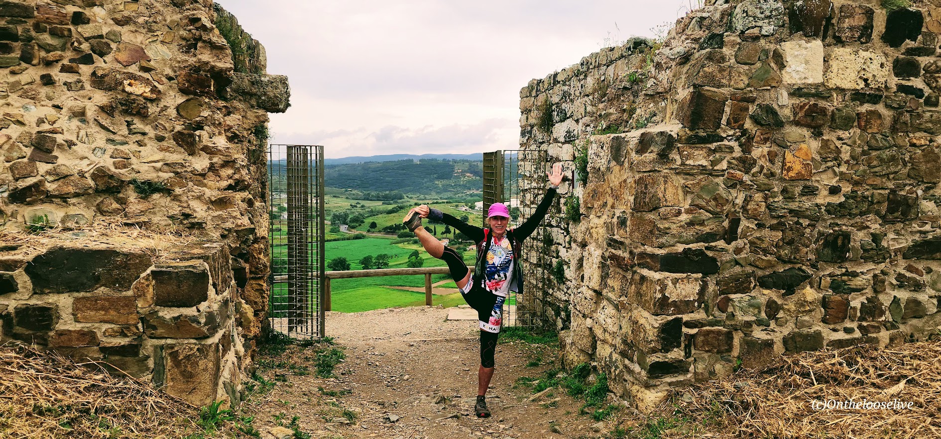
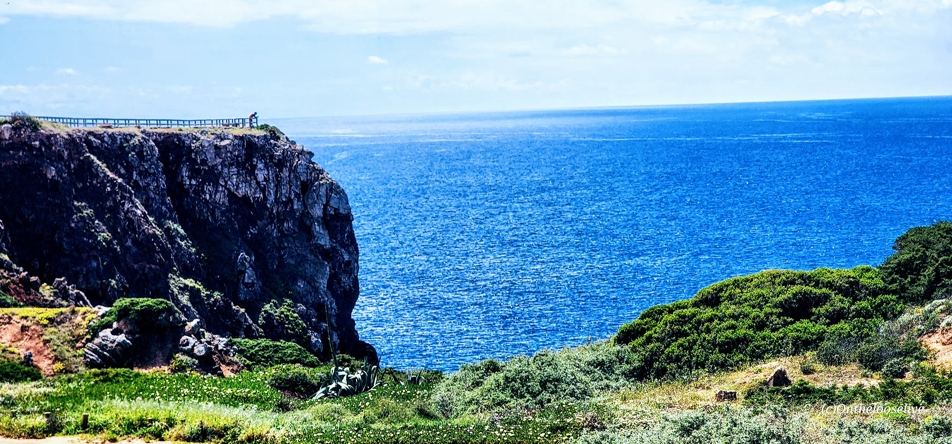
The ruins were interesting and the view from the top was lovely—lush green fields stretching out below, and the white-washed village of Aljezur nestled peacefully in the valley.

Fortunately, our route didn’t take us back down that treacherous cobblestone. Descending the same way would’ve been an entirely different kind of adventure.
We went from that crazy cobblestone climb to cruising sweet, less-traveled, wide, paved roads down to the coast, stopping for coffee and snacks in a small surf village.


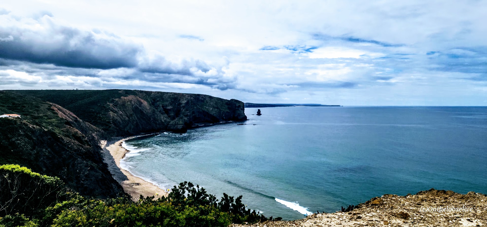


After pedaling through the charming village of Arrifana, we followed a pristine gravel path that wound through a quiet forest and eventually opened to the stunning coast. Our lunch spot awaited us on a seaside cliff, perched above the ruins of an ancient Islamic fishing village dating back to the 12th and 13th centuries.


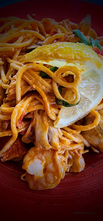
Our lunch times were drifting later and later into the afternoons. To emphasize the freshness of the day’s catch, our waiter brought “a portion” of it straight to the table—huge half fish in hand. Famished, I went all in on a decadent seafood pasta, which I devoured almost as quickly as it arrived.

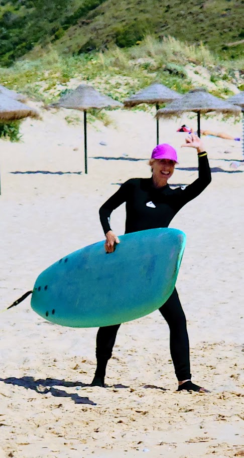
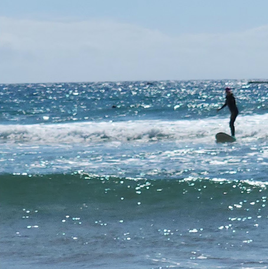
Much to my delight, our next stop was a surf beach in Carrapateira. Even though we only had half an hour to play in the waves—and it had been years since I last surfed—I couldn’t resist. I rented a wetsuit and a board and jumped right in, and managed to get up on my first wave. Yes, I was a bit of a “kook” after all these years, but I had a blast, and the water wasn’t nearly as cold as I’d expected.

With 30 miles covered, we still had 8 cross-country miles to go before reaching our lodging for the night.
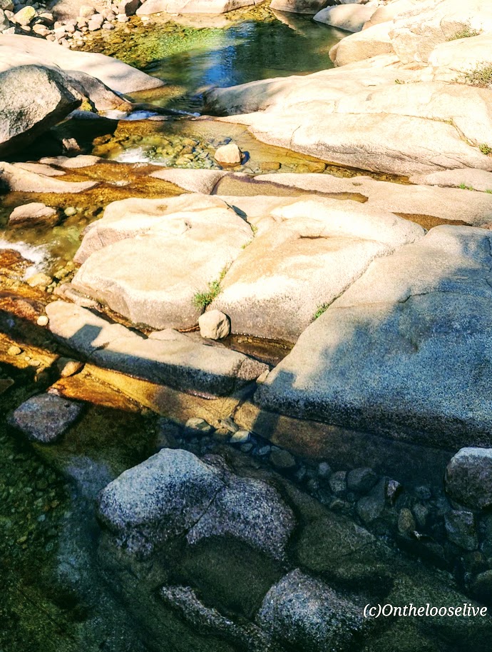
Saving the best for last, we charged along winding singletrack, through wildflower-strewn fields and splashy water crossings—an exhilarating finish to the day. Our reward? Cozy countryside accommodations and a well-earned dinner at the “Inn’s” welcoming restaurant.


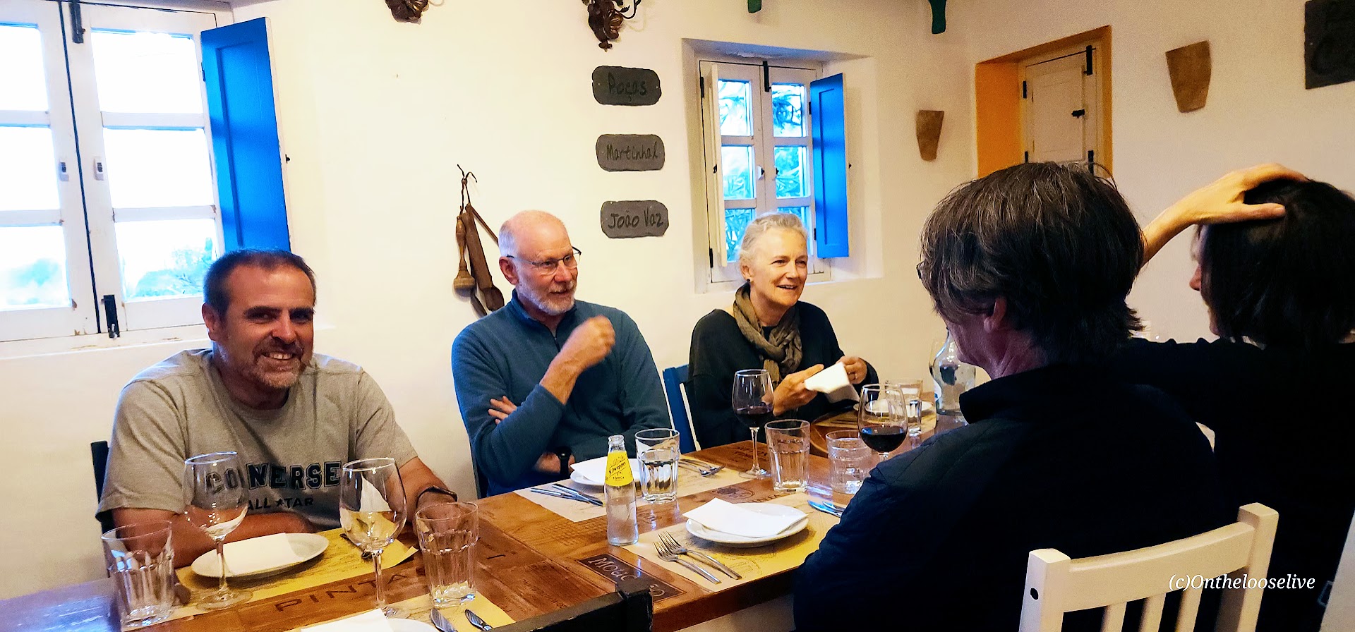
What a day! Any portion of it would have been incredible on its own — but packing all that fun into a single day? Next level. From exploring castle ruins and cruising through coastal villages to riding cross-country through quiet forest trails, enjoying a decadent seaside lunch above ancient ruins, sneaking in an afternoon surf session, and capping it all off with a sunset mountain bike style ride through the countryside, followed by a fantastic dinner — oh my! Top Bike Tours Portugal delivers one epic day after another!
Happy Adventures! On 2 wheels or 2 feet!