I wouldn’t rank Pinnacles near the top of my National Park experiences. To be fair, I’ve been lucky enough to hike in some of the most stunning areas across the U.S. and around the world—so I’ll admit it, I’m a bit of a hiking snob. That said, Pinnacles didn’t quite feel like it earned its National Park status. Honestly, it felt more like a solid regional park—State Park caliber at best.
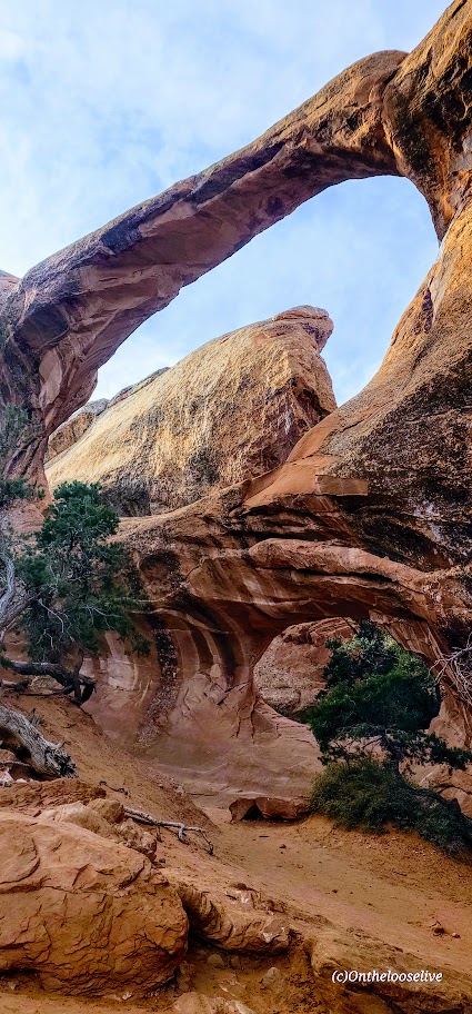
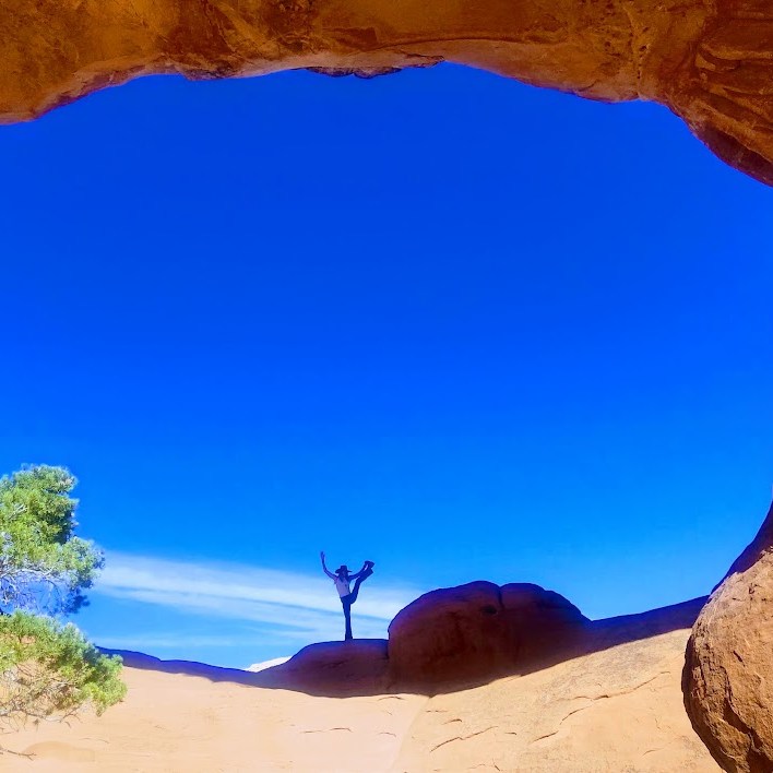
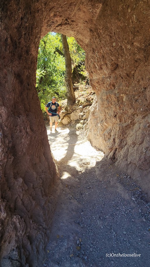
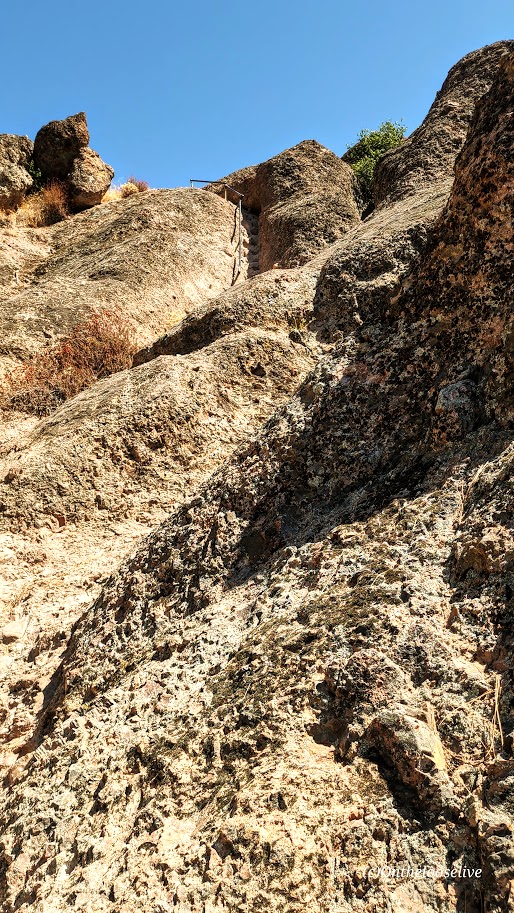
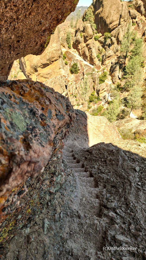
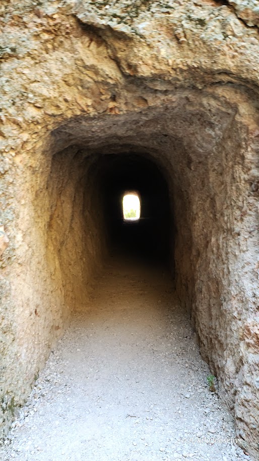
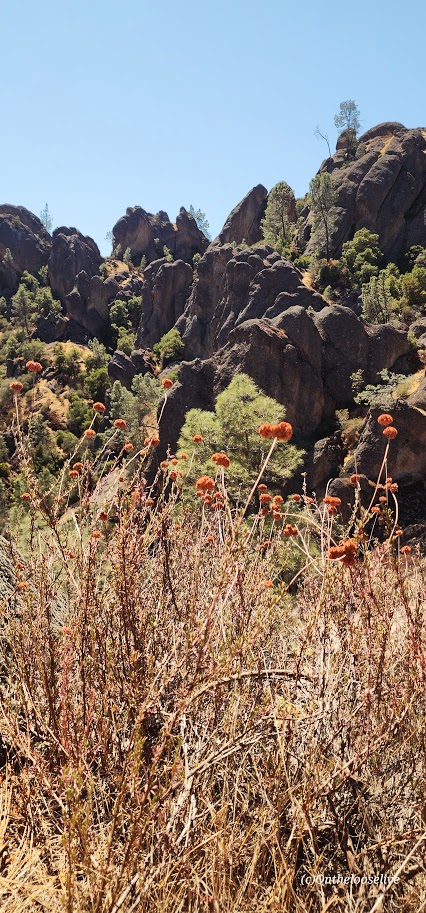
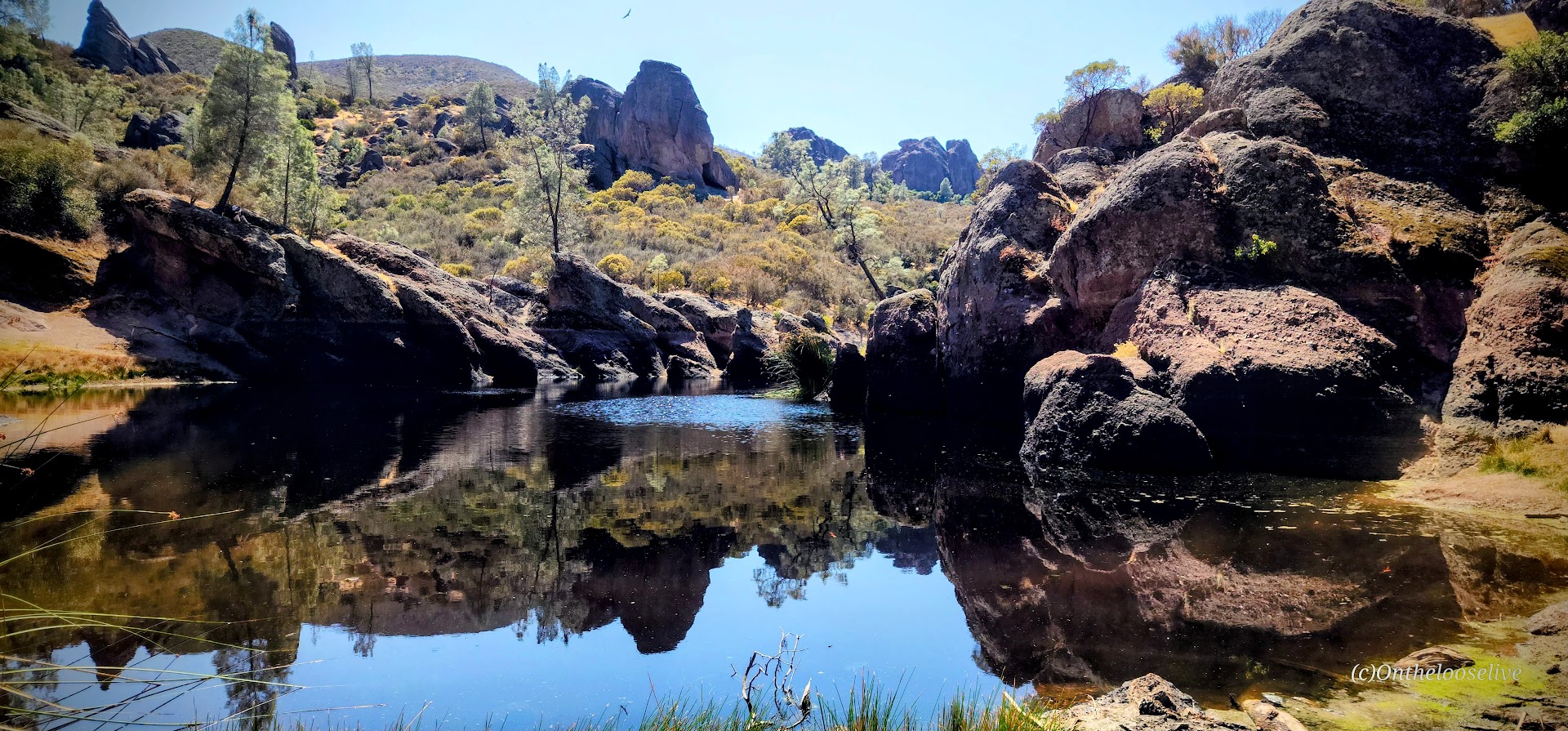
The landscape reminded me of the local parks I used to trail run back when I lived in California: pleasant, but not particularly awe-inspiring. The park offers about 30 miles of runnable trails. Yes, there are some unique features, like interesting rock formations (which is where the name ‘Pinnacles’ comes from—but since I live in southwest Utah, that’s something I see daily), the cool, dark caves—Balconies and Bear Gulch (bring a flashlight, headlamp, or a charged phone), a short tunnel on the trail, and a “steep and narrow” section on the High Peaks trail that might feel adventurous to hiking novices. But for anyone who’s tackled something like Angel’s Landing, it’s pretty tame, and some might say lame. There’s also Bear Gulch reservoir, which is mildly scenic, but small and stagnant (NOT a spot for immersion). These trails (except for the caves and the tunnels) are completely exposed—hot in the summer, so go early or late in the day to avoid the heat.)
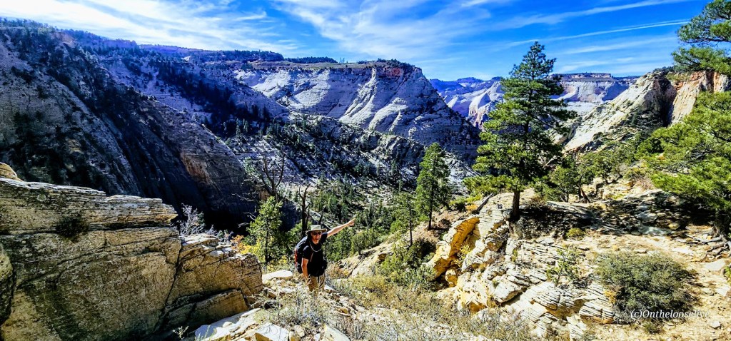
I covered the main highlights of the Park with a 7.5 mile loop that included the High Peaks Trail, Tunnel Trail, and both cave areas. The elevation gain was nearly 2k ft, but the climb was gradual and spread out, so I would rate it as easy effort and terrain, but of course, it varies depending on your fitness level. I kept myself engaged by playing photographer.


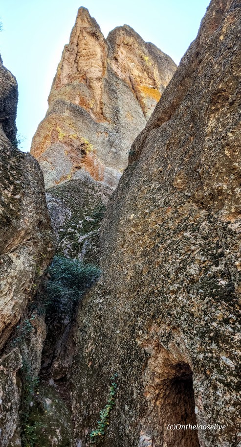


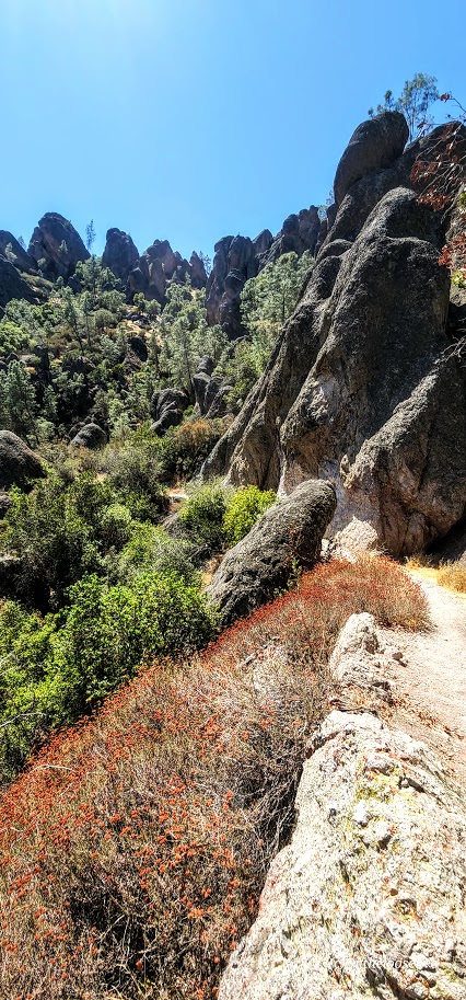

Most of the rocks in the High Peaks area are rhyolite breccia. These angular fragments were ejected by volcanoes and cemented together by ash and mud, giving them a slightly golden hue. (They are rare in the volcanic areas of Utah and Hawaii. In Hawaii, the volcanoes primarily erupt low-silica, low-viscosity basalt, which flows easily rather than fragmenting. And while rhyolite eruptions do occur in Utah, the conditions needed to form substantial rhyolite breccia are less common than other volcanic processes.)
Inside the Caves


Dark Skies, Rock Climbing, Birds, Bats, Bees, and a Small Pool at the Campground
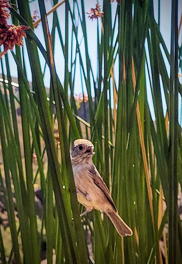
While not designated as an official dark sky site (they should apply for it), the remote Park is committed to dark sky preservation and boasts about its night sky in its pamphlet. (I left before sunset, so I can’t speak to that.) I do know that the Park is out in the middle of nowhere, so it’s certainly free of light pollution. Apparently, there are hundreds of rock climbing routes here. And if you’re a birder, there are over 180 species here, including the endangered California condors, peregrine, and prairie falcons. (I did see a couple of wide-winged condors gliding high above the trail.) If you’re batty(?), the talus caves are home to Townsend’s big-eared bats, and 13 other bat species live in the park and roost in rock crevices and trees. Notably, the park has over 500 bee species, the highest diversity on earth!
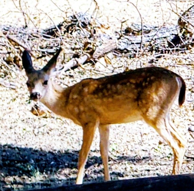
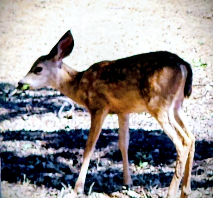
The Locals


Any time spent being active in nature is worthwhile. Still, while pleasant enough, perhaps Pinnacles is best suited for families with kiddos who would enjoy exploring the caves, climbing on the rocks, and cooling off at the small campground pool. It’s a one-and-done for me.
Have you been to Pinnacles? What did you think? Take it or leave it?
Happy Trails! Leave No Trace!