Getting there: I-15N from St. George, Exit 10 to Washington. Left onto Green Springs Drive, immediate right onto Buena Vista Blvd. Follow. In about 1 mile, turn left onto the dirt road immediately after the fire station. Follow it for about 1.2 miles to the intersection of another dirt road and turn left onto this dirt road. In about a half mile you’ll see the parking area, gate and trailhead. (Directions are a bit tricky & terrain is variable–high clearance / 4-wheel drive vehicle helpful.) Took me 3x until I finally found it.
Notes: Full sun exposure, bring your water, hats, and sunscreen. (Spring, Fall & Winter are the best time of year for this one.) Leashed dogs allowed. Parking is free.
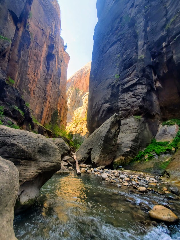
Difficulty: First and last 1.7 miles is on flat pavement–easy. After that–hard, due to icy water immersion (from ankle deep to hip deep) and treacherous footing over slippery rocks. Water is so murky that you must use your hiking stick / poles every step of the way.
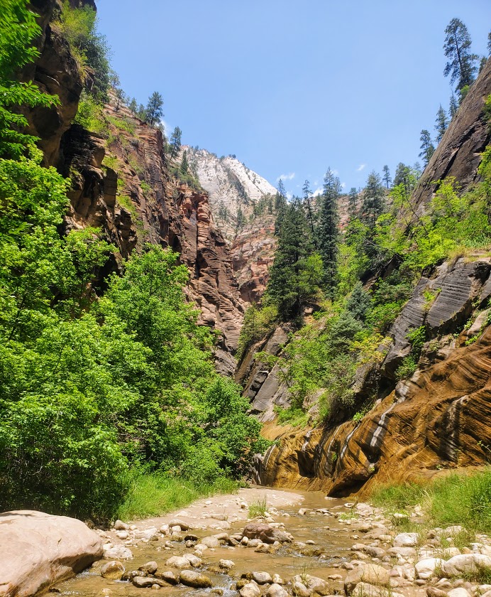
Fortunately, my friend and I were of the first few to step our feet into the icy waters of the Narrows that morning so we were able to soak in its beauty in solitude. Unfortunately, on the way back, the multitudes had arrived—unruly mobs descending on a magnificent citadel destroying all vestiges of a nature’s magnificence.
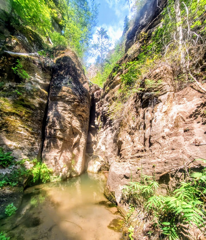
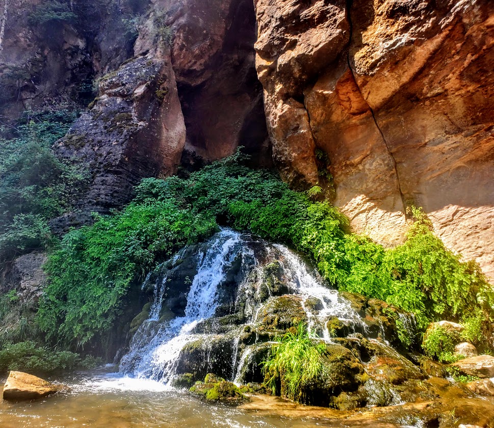
The waterfall in the feature picture above is the official turning around point for the Narrows. If you wish to add on a nice side trip on the way there, on the way back, or as an alternative, check out Orderville Canyon. It’s the right fork at about the 2.5 mile mark. It’s much greener, and in my opinion, prettier than the Narrows itself. Unfortunately, my bettery dies so I wasn’t able to take any pictures there. Guess, I’ll have to return. Orderville Canyon is also a bit less traveled, which in my book, is always a win
Yes, the Narrows is cool, but in my opinion, over-hyped. I’m so fortunate to be discovering so many equally or more beautiful, less-populated spots all over Utah. Zion National Park’s inability and/ or unwillingness to minimize crowds is discouraging and certainly offputting.
There is a 17-mile top-down challenging route that requires canyoneering and some swimming, likely it rules out the masses, but there’s no avoiding them for your final 5 miles when you’re most likely to be a bit hangry anyway… I’ll let you know if and when
Soapbox: In my opinion, ZNP needs to permit this hike ASAP to preserve the area from the irreversible impact of the HORDS of HUMANS and enhance visitor experience. They do it for the Subway and it works well. Never felt overwhelmed there, but the Narrows felt like being in a city subway. Perhaps they should flip the names.
Notes: Water temperature ranges from 40 to 60 degrees. In the fall, winter and spring, dry gear is recommended. (My first time was inMarch and I froze. Came back in July and was fine in shorts.) Rent info: https://www.zionguru.com/narrows-rental-equipment Hiking sticks/poles are a necessity. Go early to avoid the crowds as much as possible.
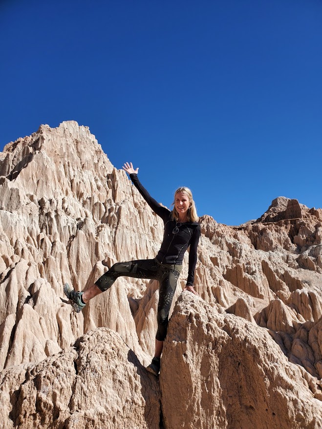
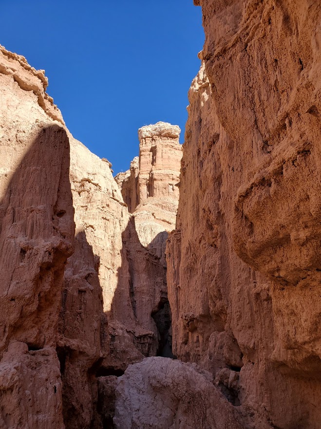
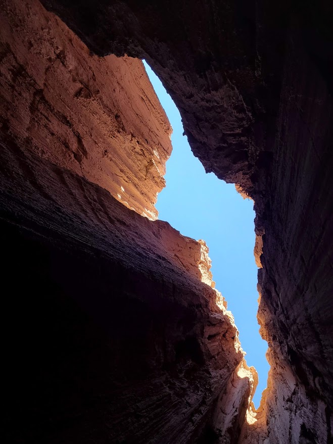
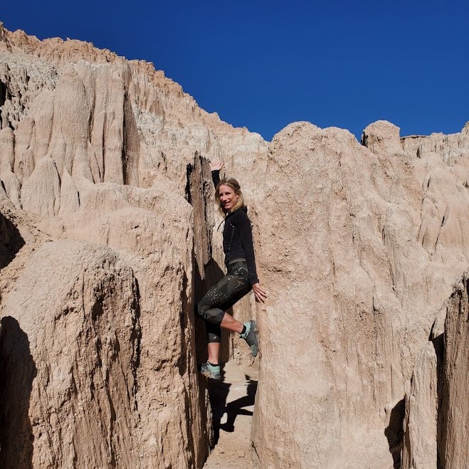
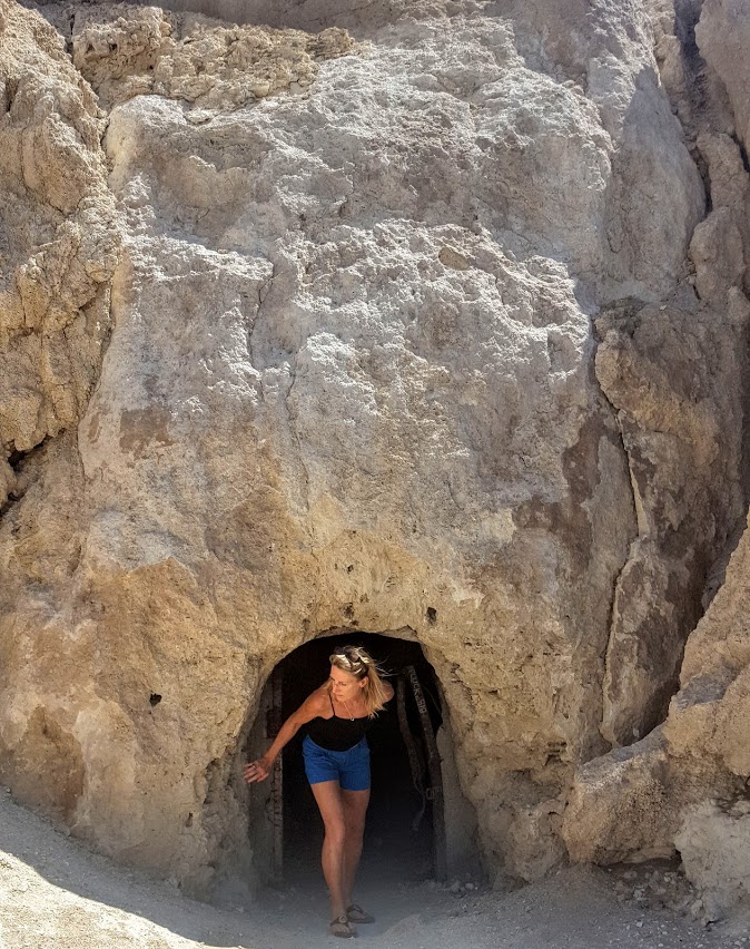
While there’s not much hiking to be done here (a grand total of 5.5 miles if you hit all 5 trails), what you will find is an otherworldly playground of caves, caverns, and catacombs. Between the spires and bluff-colored cliffs, you can follow one slot canyon into the next in aMAZEment.
One of Nevada’s first four state parks, Cathedral Gorge was established in 1935 as a geologic preserve. It features dramatic, other-wordly landscape of eroded soft bentonite clay that covers close to 2k acres. The amazing spires, cliffs, and slot canyons are the result of millions of years of geologic activity sparked by volcanic eruptions that dispersed layers of ash hundreds of feet deep to the region. Faulting formed a valley over time, which eventually filled with water and became a freshwater lake. Over the centuries, this prehistoric lake began to gradually drain, and erosion began to expose and form the ash and pumice.
Enjoy the incredible views from the Miller Point Overlook gazebo (originally constructed by the CCC) and then create your own adventure in the abundant caves, slot canyons, catacombs, and slot canyons.
The formations at Cathedral Gorge remind me of the sand castles that my brother and I used to create by squeezing wet sand through our hands and letting the drips accumulate into peaks of various heights and girths. Indeed, the firmness and stability of the formations in Cathedral Gorge vary substantially so you must be alert at all times, taking care that you don’t break through the surface or fall into a chasm. (The trail guide included stats on trail firmness and stability.) Yes, it’s a bit sketchy, but totally cool. Kids would be amazed by this place and entertained for hours. For safety’s sake, I’d suggest that you keep them and pets on a tight leash!
Address: 111 Cathedral Gorge State Park Road, Panaca, NV 89042, a must-do, easy day trip from my base camp, St. George, UT, and about 2.5 hours northeast of Las Vegas on Highway 93,
Notes: $5 day use fee, camp at one of the 22 camp sites for $15 per night (first-come, first served), each with a table, grill and shade. Electrical hookups are available for an additional $10. Water and flushing restrooms with coin-operated showers are open year-round, with handicap-accessible sites available. Pets must be kept on a leash of < six feet.
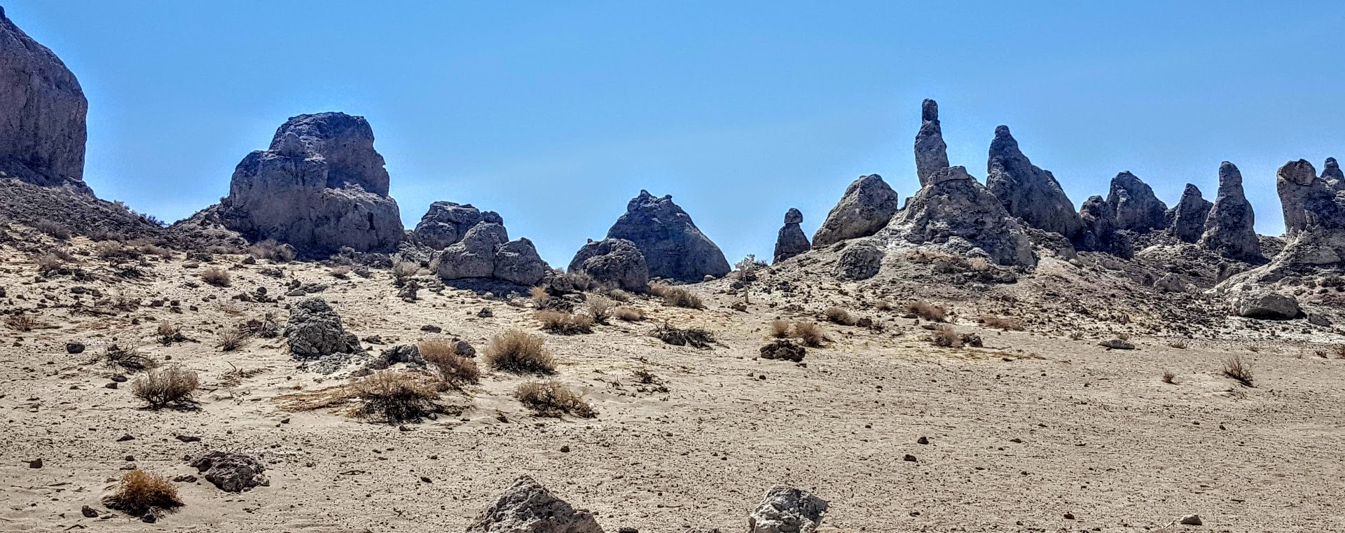
This unique geological landscape in the California Desert Conservation Area consists of more than 500 tufa spires, some as high as 140 feet, that rise from the bed of the Searles Dry Lake Basin. Composed primarily of calcium carbonate (tufa) from deep beneath the lake, the pinnacles vary in size and shape from squat and thick to tall and thin. The tufa here date back 10,000 to 100,000 years ago, forming over 3 ice ages. There are distinct in their age and elevation and are referred to as the northern group (youngest), middle group (110 spires and highest tower), and southern group (200 formations and up to 100k old). If you’ve been to Mono Lake, you’ve seen more recent formations. The expanse of desert in every direction and the stark mountain ranges on either side create a dramatic landscape.
This slideshow requires JavaScript.
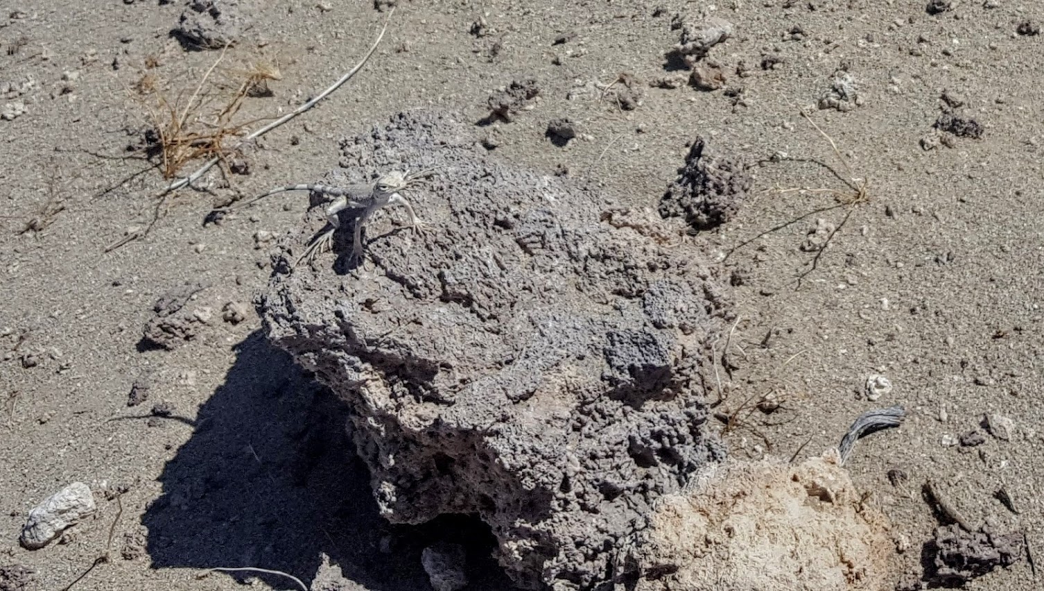
Ran into a local
You can drive around the area or hike around it. Temps are triple digit in the summer so be prepared.
Getting there: ~ 20.0 miles east of Ridgecrest. Via a 5 mile BLM dirt road (RM143), usually accessible to 2-wheel drive cars, that leaves SR 178, about 7.7 miles east of the intersection of SR 178 and the Trona-Red Mountain Road. Note: The road may be closed after heavy rains.
Note: This is BLM territory so camping in this barren, impossibly hot, desert landscape is free. It’s also a great spot for offroading & ATVs.
Not sure I’d drive hours to see it, if it’s on the way as it was on my way back from my Mt. Whitney adventure, it’s worth it.
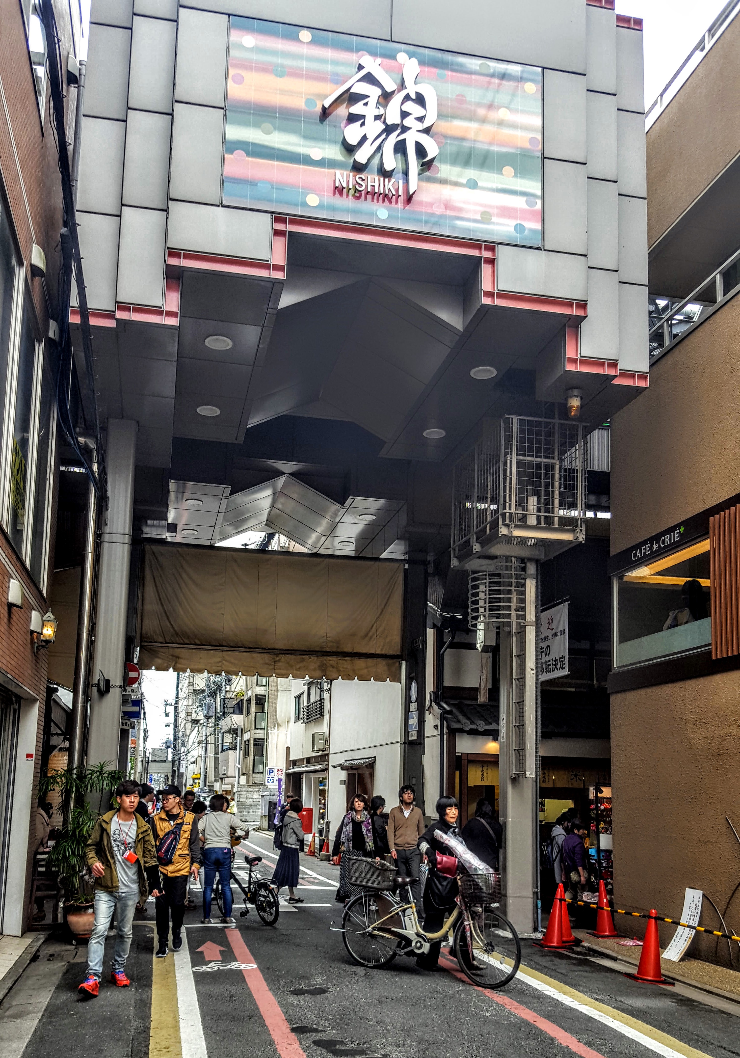
Most would agree that a trip to Kyoto isn’t complete unless you visit the Nishiki Market. Known to locals as “Kyoto’s Pantry”, the traditional, four-centuries-old Nishiki Food Market is a feast for the senses. The narrow, five block long shopping street is jam-packed with exotic (to the Westerner) items and approximately 130 food stands and restaurants. Bring your appetite to try something new for an unforgettable foodie experience. There are plenty of opportunities to taste samples or to buy snacks as you explore. Expect to be elbow to elbow with a big crowd of locals and tourists alike.
History
The origins of the market date back to around 1310 when it was established as a wholesale fish district. Over time, it evolved into the bustling kaleidoscope of colorful stalls, shops and restaurants that it is today.
This slideshow requires JavaScript.
Getting There
Less than a five minute walk from Shijo Station on the Karasuma Subway Line (4 minutes, ~$2 from Kyoto Station) or via Karasuma or Kawaramachi Stations on the Hankyu Line. The market is parallel to Shijo Avenue, one block north of Shijo Avenue in downtown Kyoto