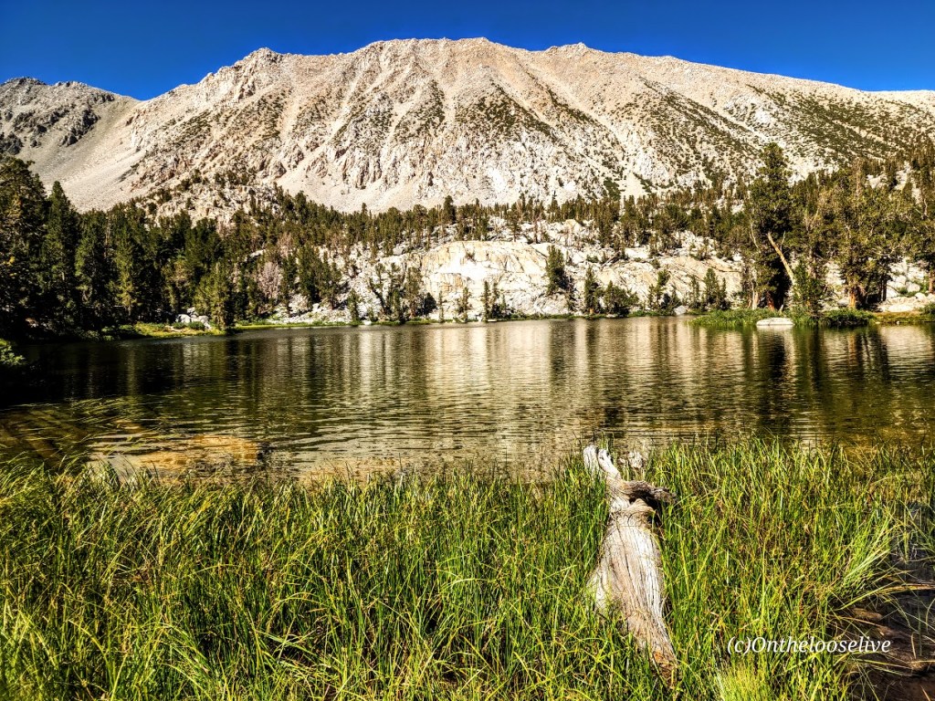
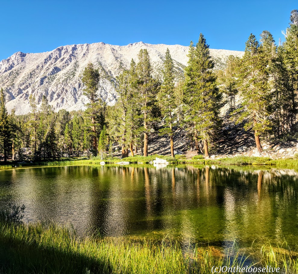
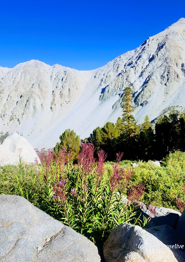
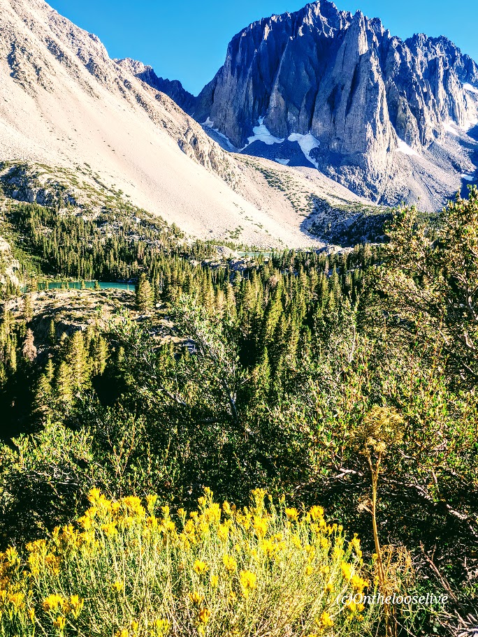
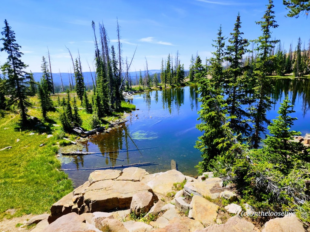
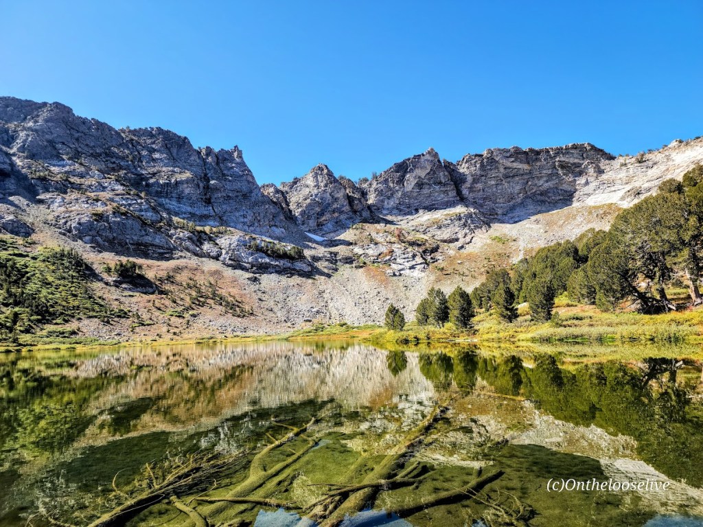
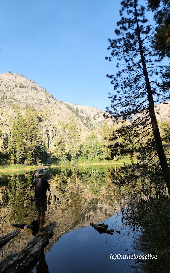
The Shadow to the Minaret (Agnew Meadows to Devil’s Postpile) route packs so much breathtaking beauty into a challenging 17-mile hike. Backpacking might be the best way to experience it, or you can choose a waterfall or any of the 7 amazing alpine lakes (Olaine, Shadow, Ediza, Iceberg, Cecile, Minaret, and Johnston) along the way as your destination for a shorter out-and-back hike. I wanted to see as much as I could in the limited time I had in the area, so I did it as a day hike.
Miles: 17, or create your own out-and-back adventure (~7 miles RT to enchanting Ediza Lake with only 400 feet elevation is an excellent option for a shorter day hike and is popular for good reason ).
Elevation gain: ~2.529
Difficulty: Hard/Challenging, especially for a day hike
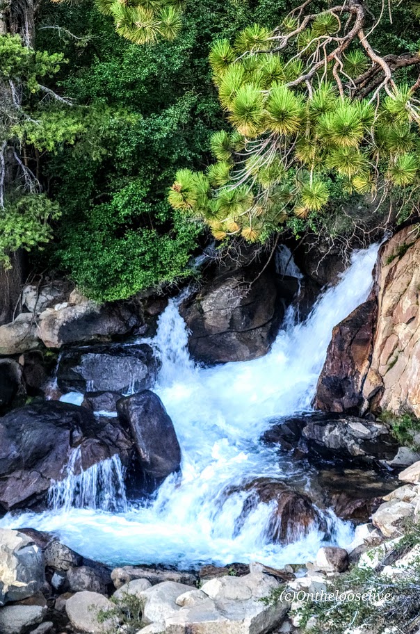
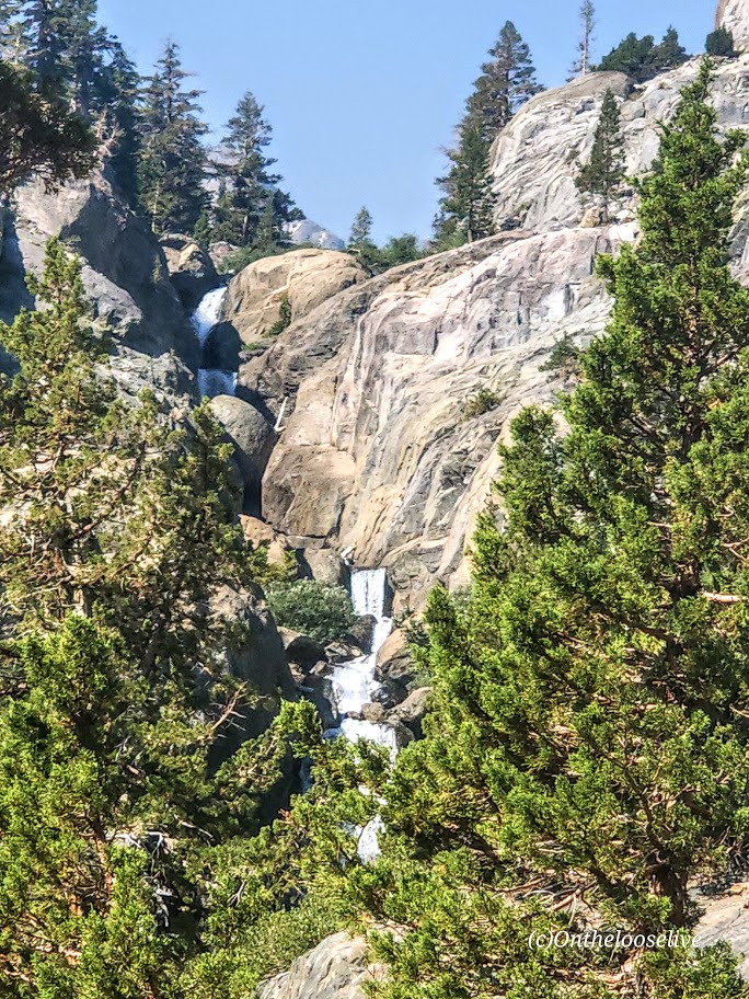
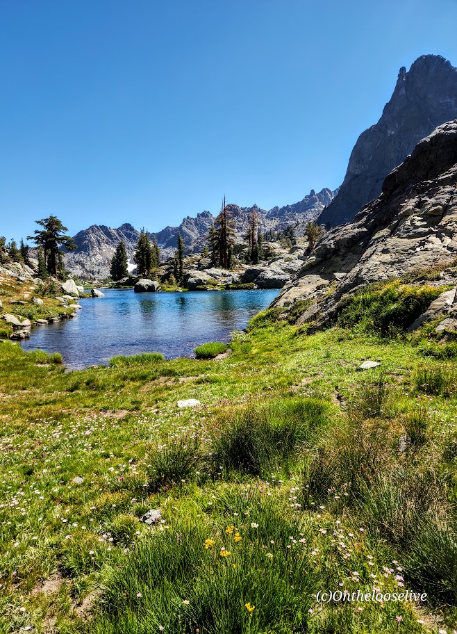
From Agnew Meadows, you’ll encounter Olaine Lake first, then the gorgeous tiered Shadow Creek Falls, Shadow Lake, and dazzling Ediza Lake.


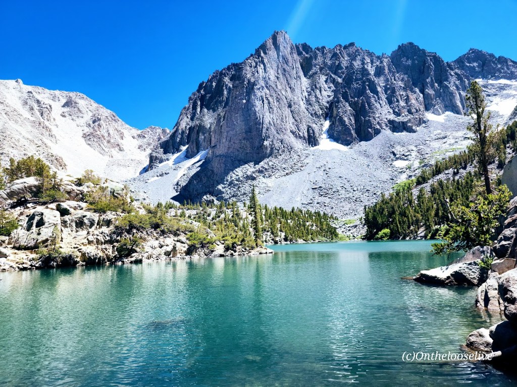
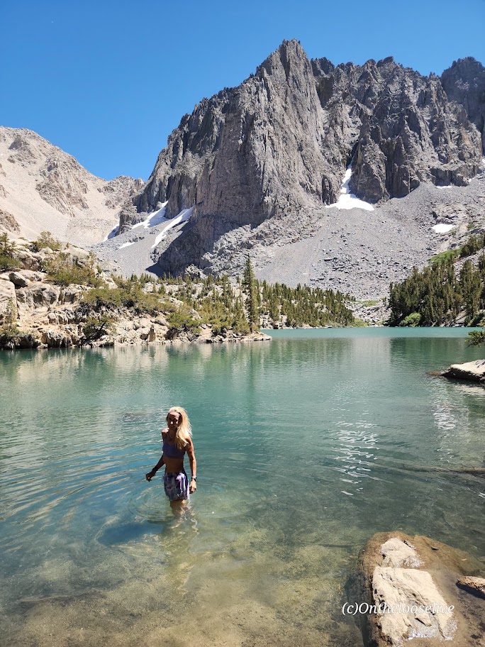
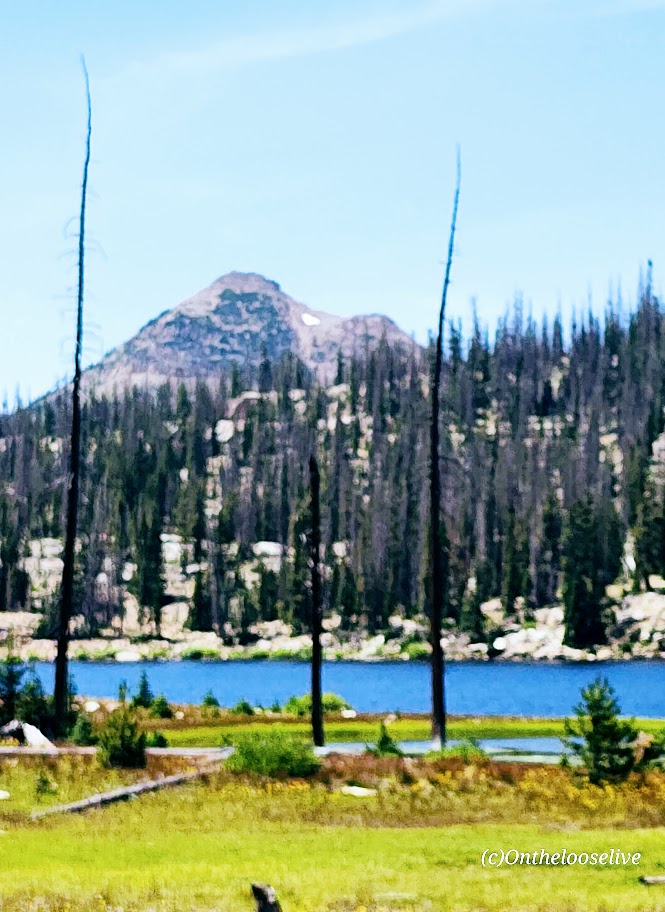
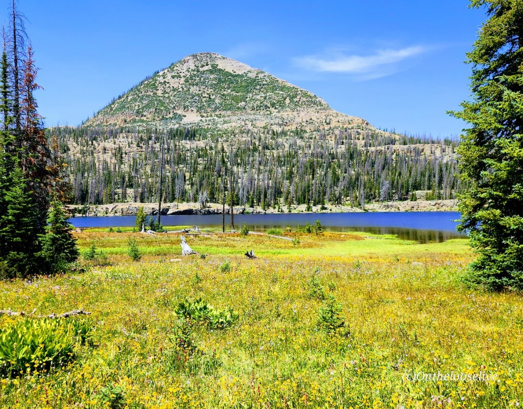
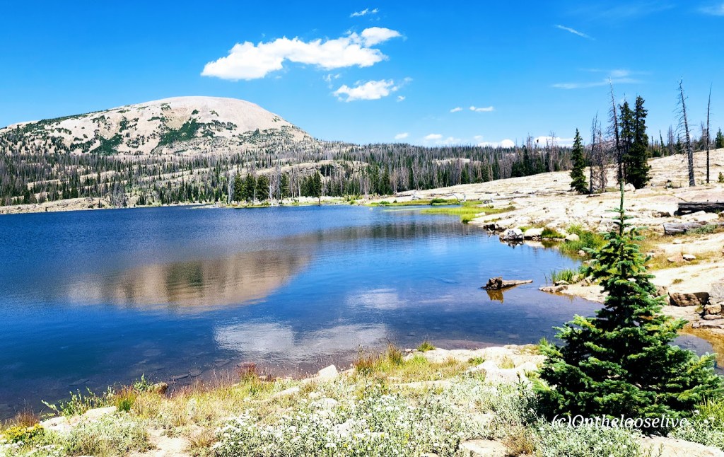
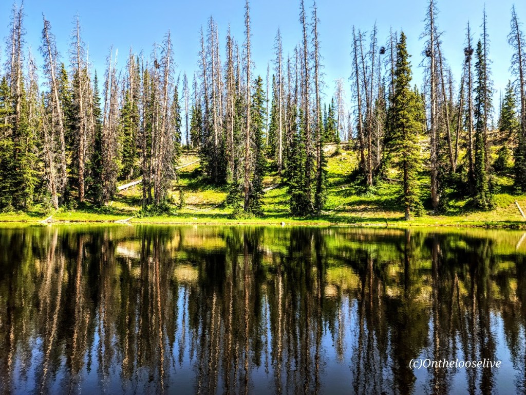
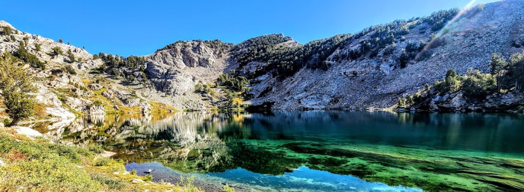
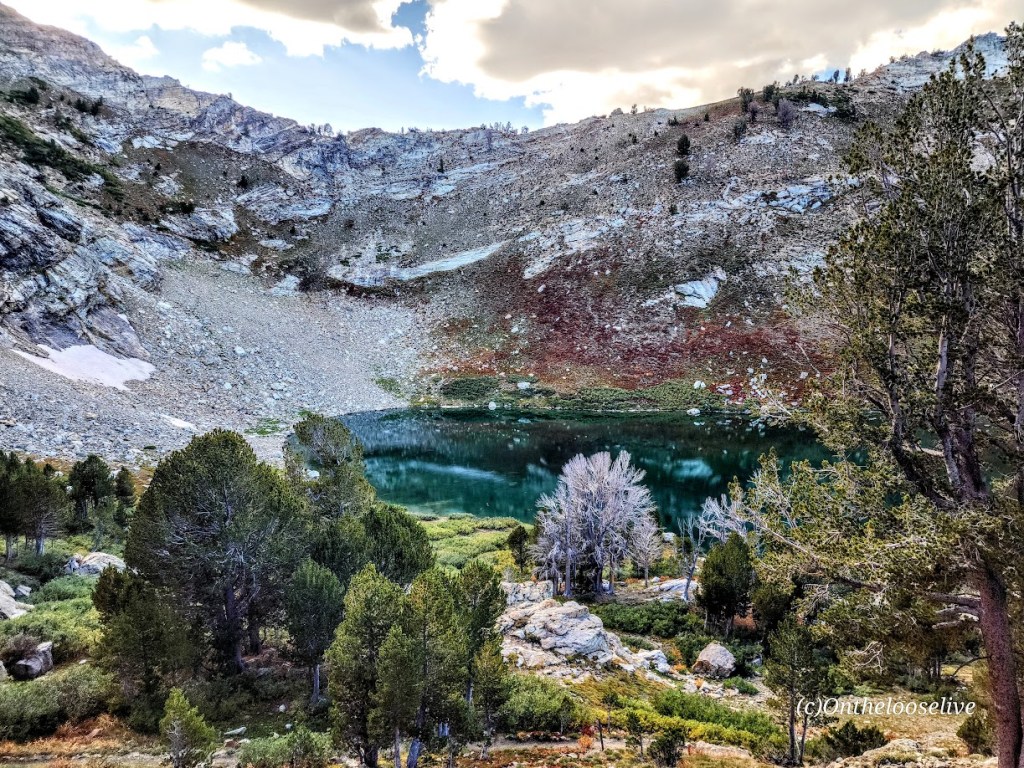
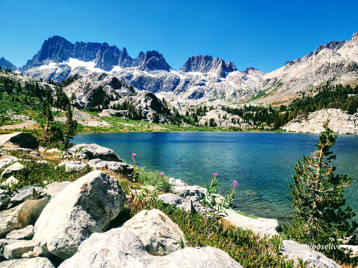
Enchanting Ediza Lake

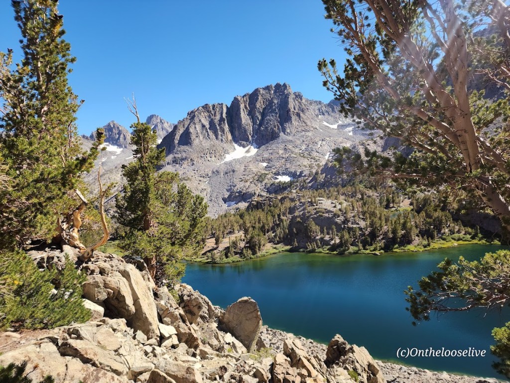
Take the trail above Ediza Lake for a glimpse of dramatic Iceberg Lake.


From there, if you wish to venture beyond, you’ll have to climb/scramble the rugged loose scree and talus cliffs to reach Cecile Lake.


Note that I wouldn’t recommend attempting this if snow is present. There’s an argument if you’ve come this far to keep going. You’ll need to boulder hop for a half mile or so around Cecile to get to the slippery, rugged drop into Minaret Lake.
Scaling Iceberg’s cliffs, boulder hopping around Cecile, and “sliding down” the loose sandy “trail” into Minaret can be quite time-consuming despite these sections’ short distances. (Some AllTrails hikers reported it taking 2 hours for these miles 9 & 10 .) I made it up Iceberg in 20 minutes or so, but I am accustomed to scaling rugged, steep landscape. The boulder hopping around Cecile Lake was slow going for me, and the slide down into Minaret was even slower as my knees did not appreciate the vertical angle.


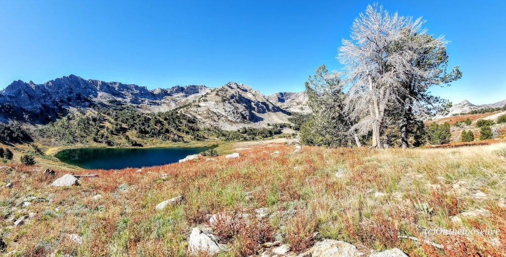
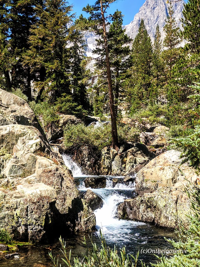
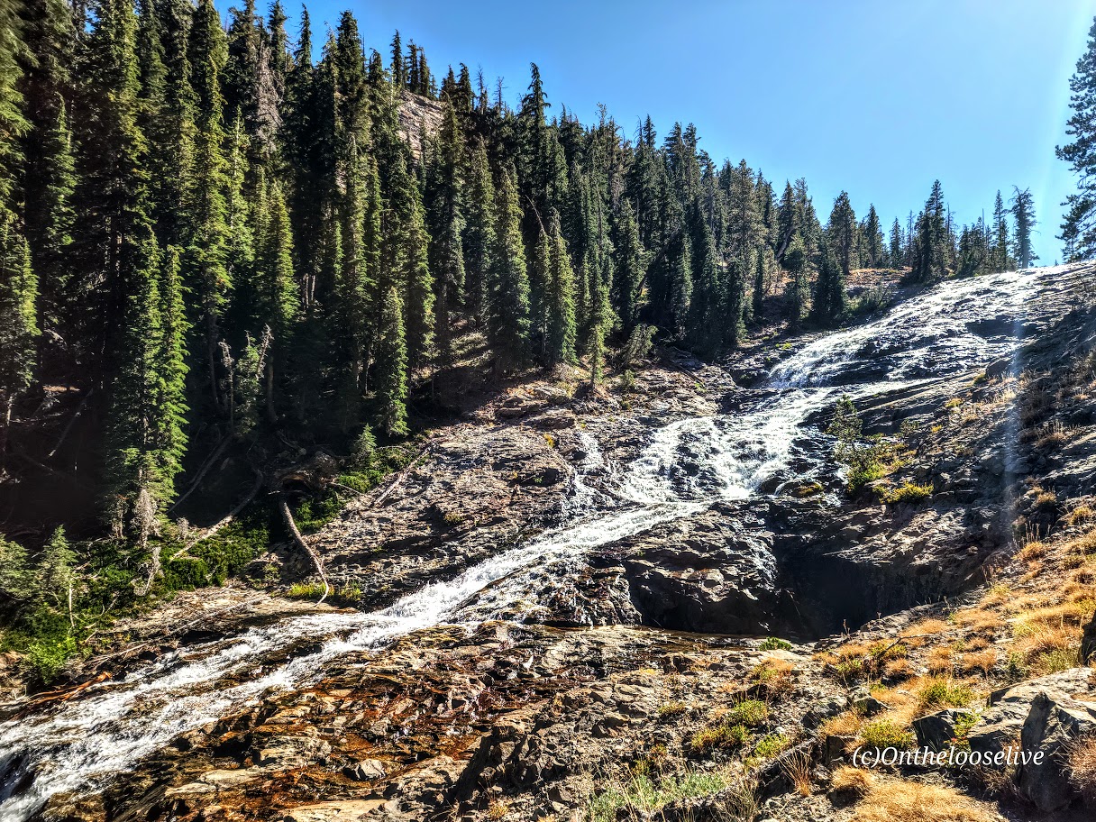
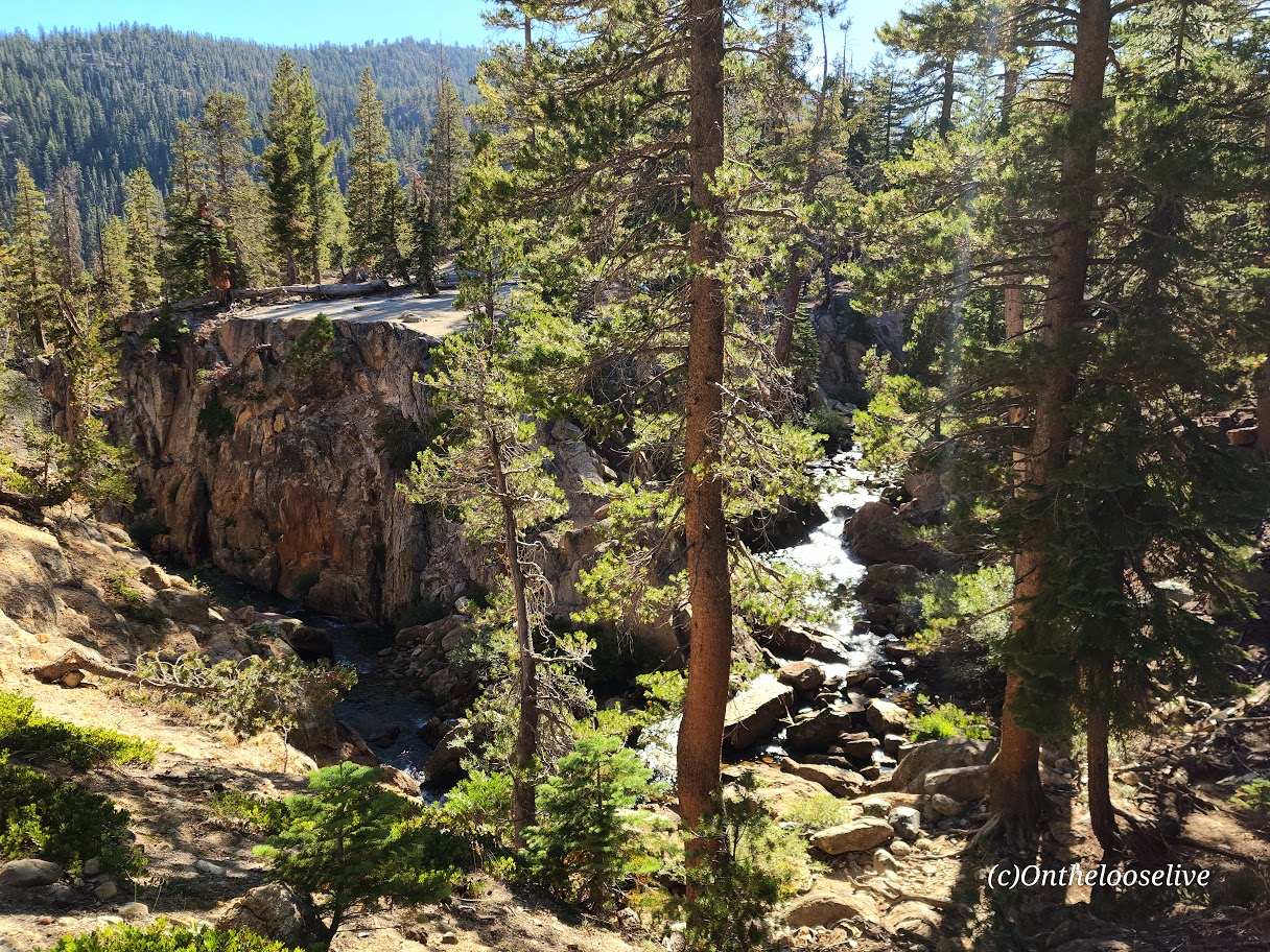
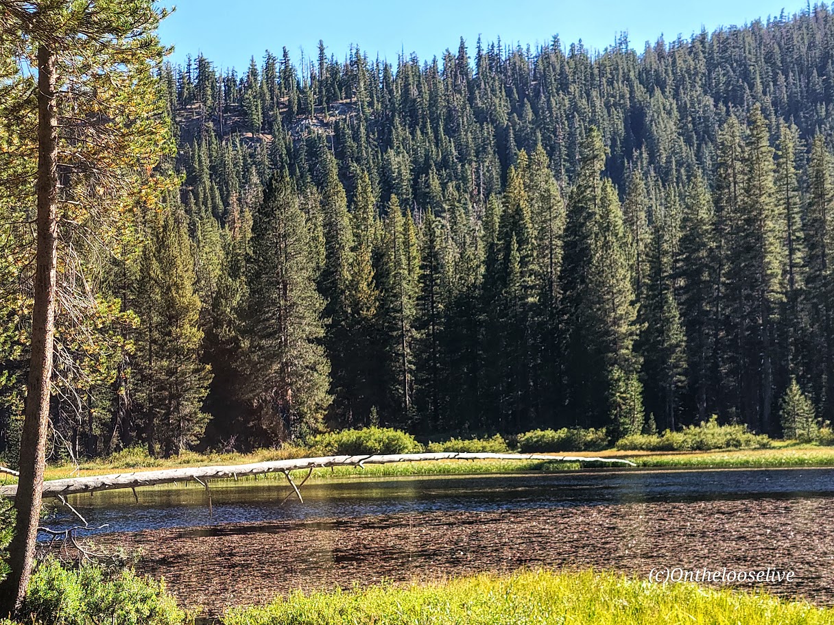
From Minaret to Devil’s Postpile, it’s all downhill with some rocky sections. Highlights include a wonderful, wide, terraced waterfall, and close to the end, a cool canyon area with a stream going through it, and finally, Johnston Lake.

Notes:
Get to the Agnew Meadows trailhead before 7am for self-drive and parking, or take the shuttle.
Equipment: Would poles have helped on the descent to Minaret? I’m not sure. Personally, I prefer to have my hands free. Prophylactically for me, knee braces would have been a good call, but not needed until the Minaret descent. If you’re going over 12 miles, I’d recommend hiking shoes. Much as I love hiking in light trail runners, my feet were beaten up/done at the end of this 17-mile day.
Was it worth it? ABSOLUTELY! I hope you can see why.
Happy Trails!