Distance: You choose ~2 miles to 19.7 miles
Difficulty: Easy to moderate, varies depending on the trail(s) chosen, length, and your fitness level
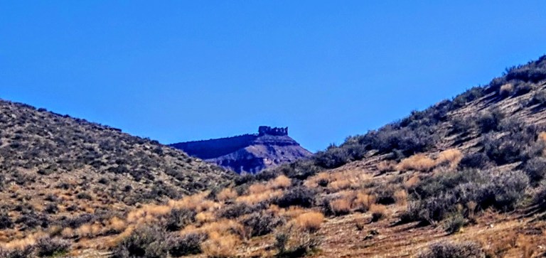
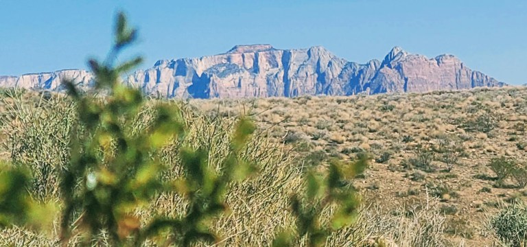
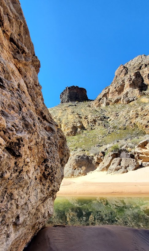
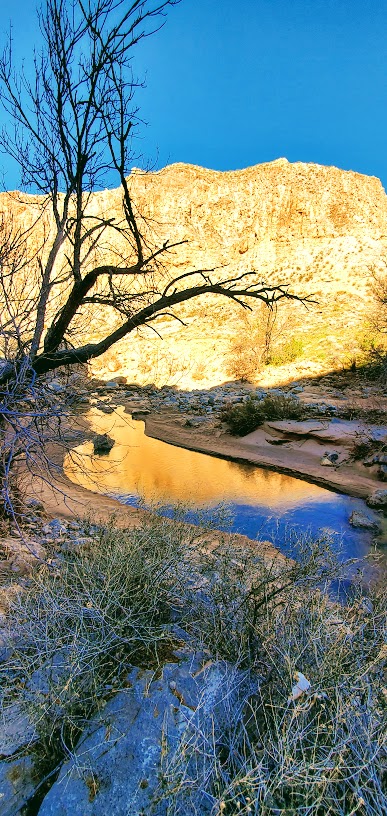
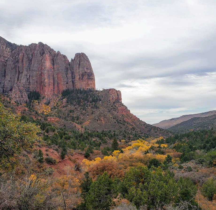
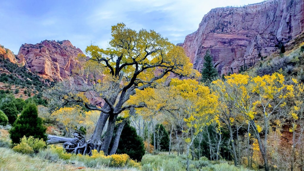
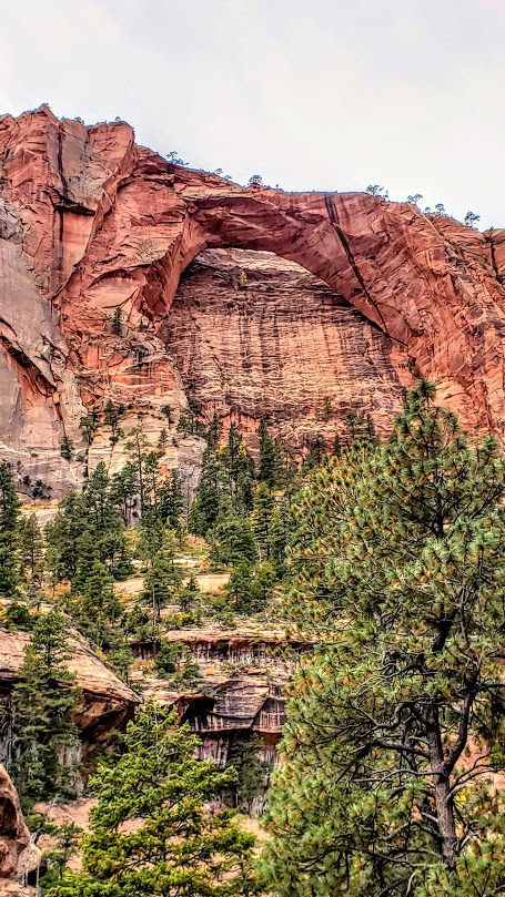
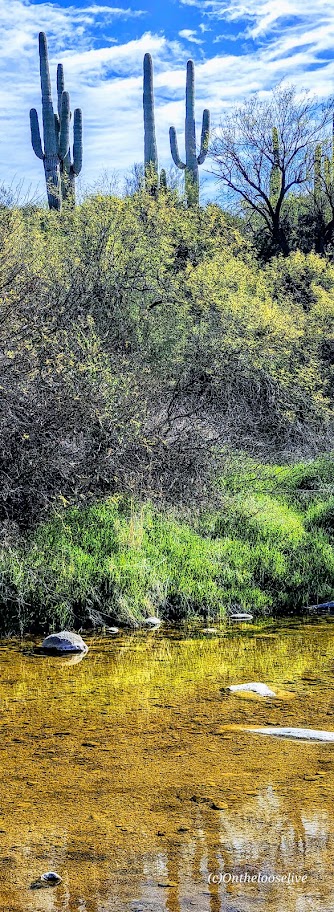
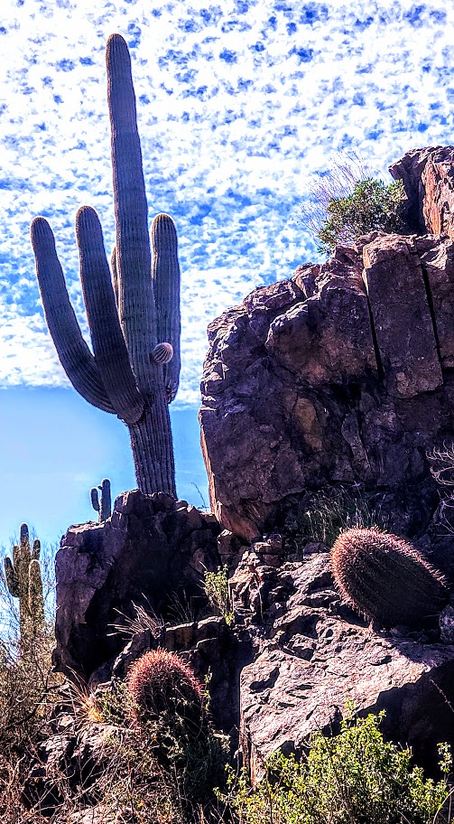
If you’re in the Scottsdale area and have time for a field trip, I highly recommend an excursion to Cave Creek. Hike the Spur Cross Ranch Conservation Area and enjoy the Saguaro “forest”, refreshing shaded creek-side trail, and if you keep your eyes open, you may get lucky and spot some petroglyphs too.
Choose your own adventure from 16 hiking and equestrian trails in this 2,154-acre area. My friend and I combined a couple of trails (Spur Crossing, Tortuga, and Dragonfly) for ~8 miles with ~1k of climbing. The terrain is mostly run-friendly.
FUN FACT: Did you know that Saguaro “arms” typically appear at 50–70 years, and they can live over 150–200 years, growing up to 40-50 feet tall?!


After your adventure, head to town to quench your thirst, refuel, and shop in this blended authentic/tourist-trap Western town settled in 1870. If you’re a burger fiend, Big Earls is a sure bet.

Getting there: 29 miles from Scottsdale, via AZ-101 Loop N and N Scottsdale Rd, 44000 N Spur Cross Rd, Cave Creek, AZ 85331
Notes: Spur Cross Ranch Conservation Area $3 per person fee. Picnic tables and port-a-potties are available at the trailhead parking area. Leashed dogs allowed.
We all scream for ice cream at the City Creamery.
I had the best ice cream of my life at The City Creamery, home of handmade, small-batch ice cream in 16 favorite varieties and exotic seasonal flavors. (I’m not that much of an ice cream monger, but oh, my—delicious, chocolate infused with orange!) Also, their scoop portions are HUGE. However, I did manage to eat it all.
Happy trails!

Cheers from Stumbalina’s Cantina!