Distance: ~7.5 Miles
Elevation Gain: 2,798 ft (Elevation at the peak is 7,876 ft.)
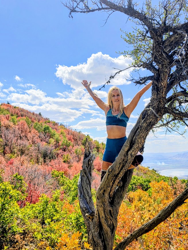
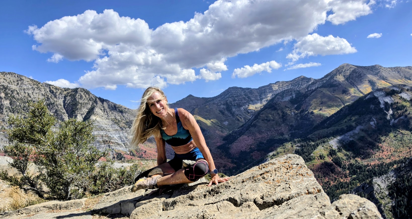
Difficulty: Moderate to hard, depending on your fitness level (AllTrails rates it hard and states that it takes 5-6 hours to complete. I finished in under 3 hours with plenty of photo ops / yoga pose shenanigans.)
Kyhv Peak was my recovery day hike after Mt. Nebo (post to come). Kyhv is the Ute word for mountain and is pronounced “kive” (like dive with a k).
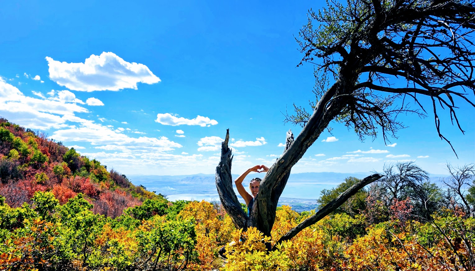
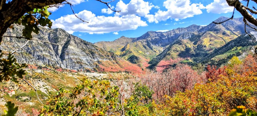
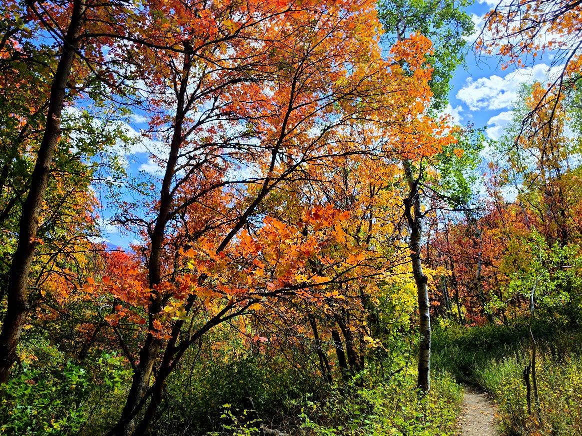
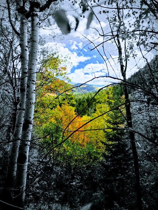
What a delightful Fall hike! I was so happy to catch peak colors. The first 1.5+miles are on a gravel road. You’ll cross 5 wooden bridges on the way.
Seeing the peak looming in the distance can be a bit daunting, but the trail itself isn’t intimidating at all. If you look closely at the pictures below, you may be able to see the flag on the peak.
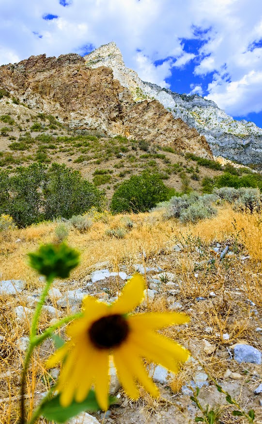
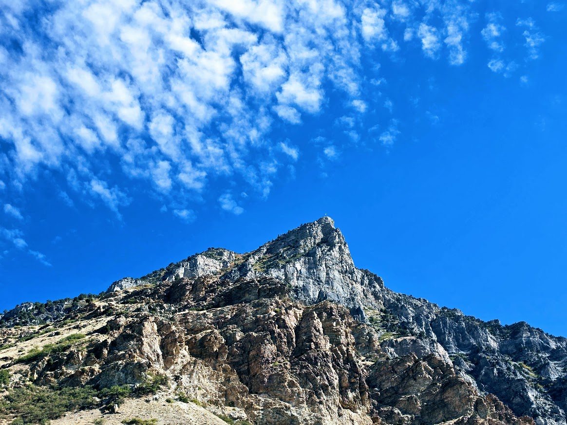
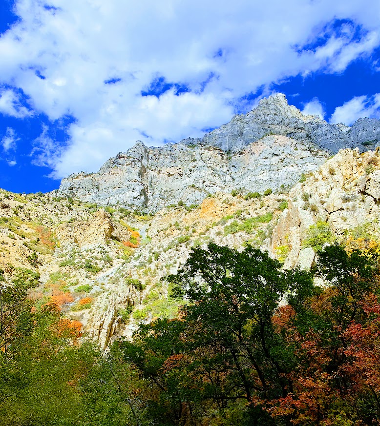
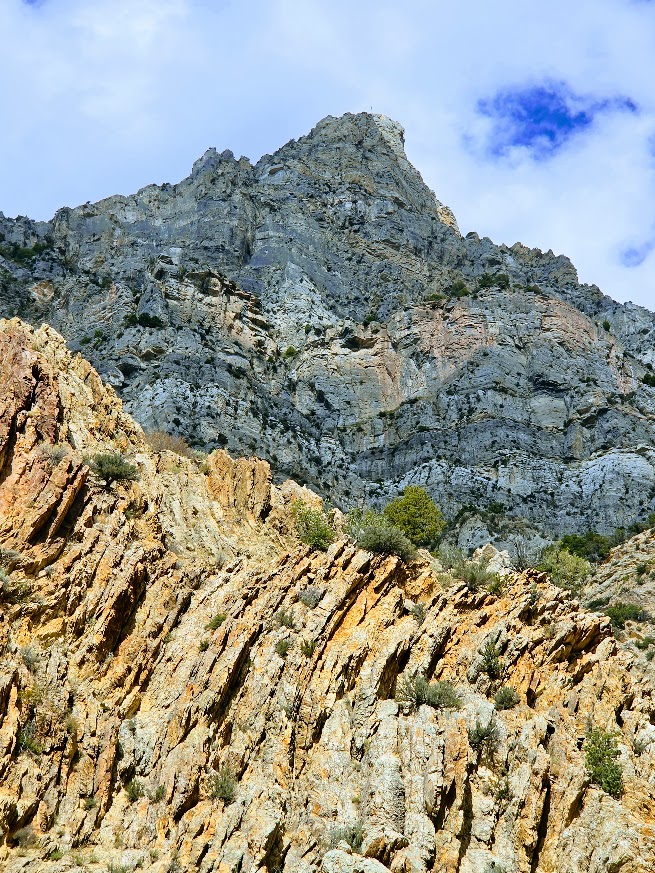
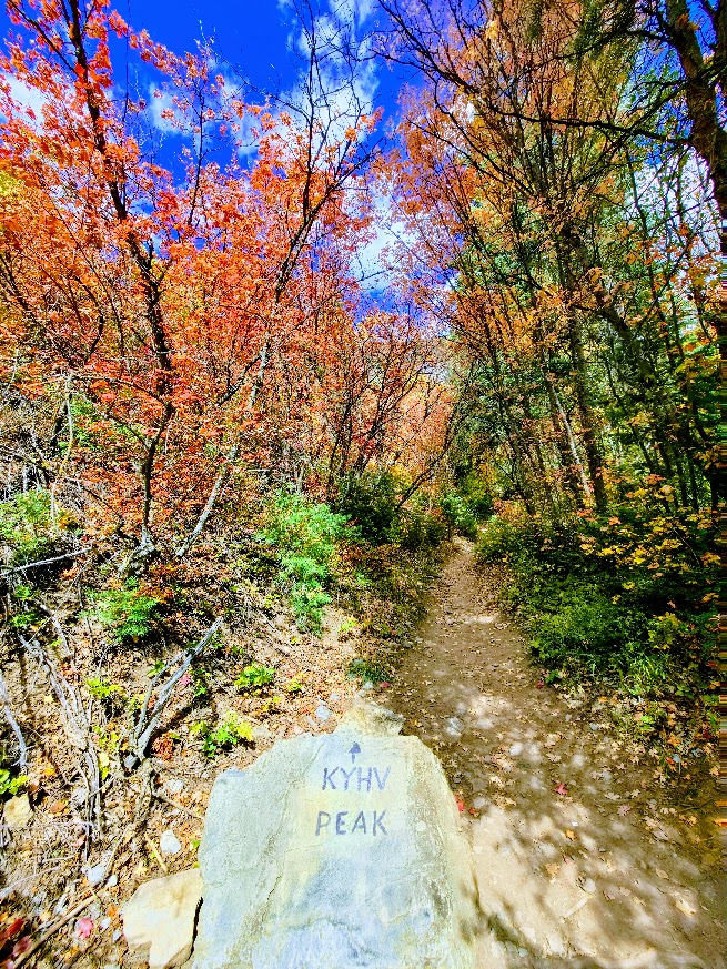
Take a left at the marked boulder and enjoy mostly smooth, shaded, charming single track (consistent incline that “pops” in a couple places, never for too long) as you climb up through the forest. If you’re up for it, the terrain is trail runnable.
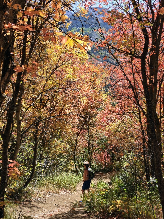
Enjoy the journey, it’s beautiful all the way up!
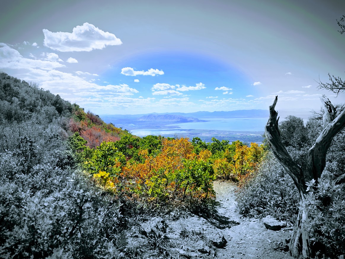
The peak rewards with panoramic views of Utah Valley, Utah Lake, and Mount Timpanogos.
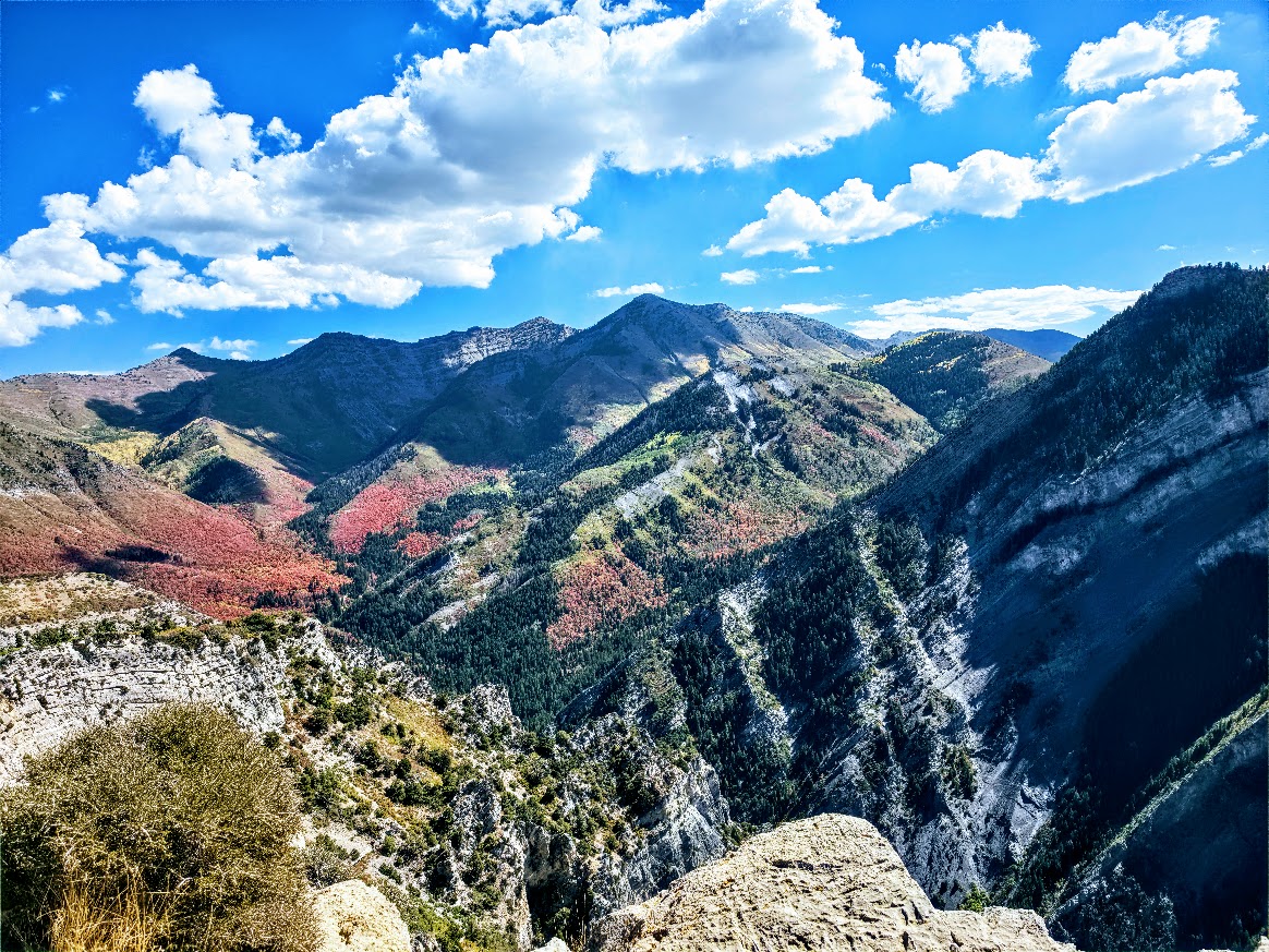
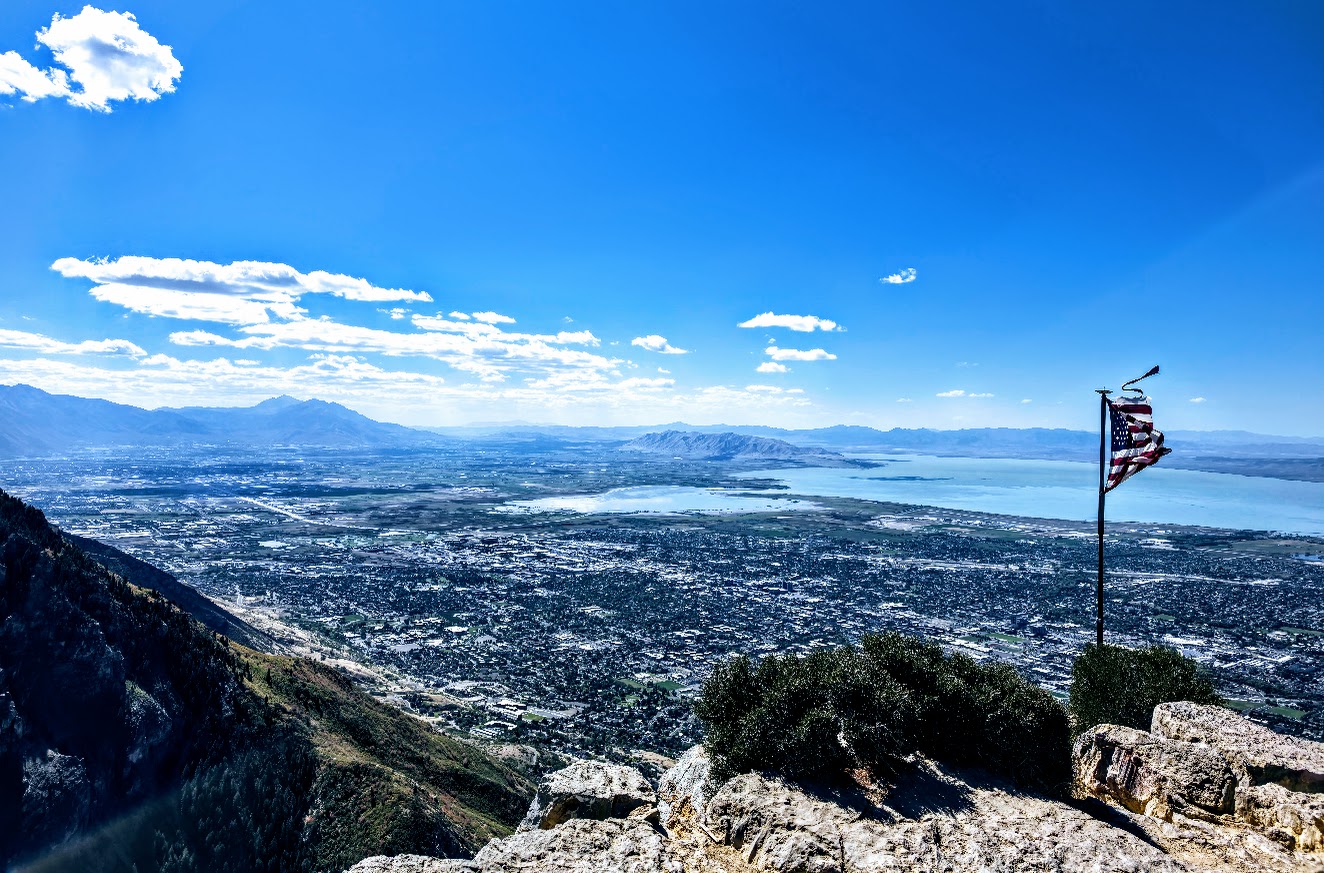
Getting There: I-15, exit 269, left onto 900 East, right on Temple View Drive, right on E 2300 North to the Rock Canyon Trailhead parking lot.
Note: For a shorter, less intense hike (1–4 miles, ~285–1,377 ft elevation gain), take Provo Canyon (US-189), turn onto Kyhv Peak Road and continue past the paved overlook onto the rough dirt road. High-clearance vehicle recommended. To see the views without a hike, enjoy the paved overlook.
Happy Trails! This was definitely my Autumn BLISS!