Length: ~3 Miles roundtrip to the mini waterfall or as long as you’d like to take it, up and over and across the rim.
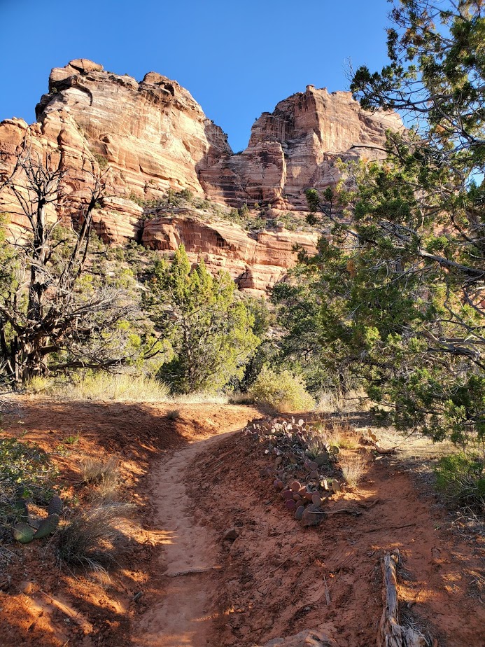
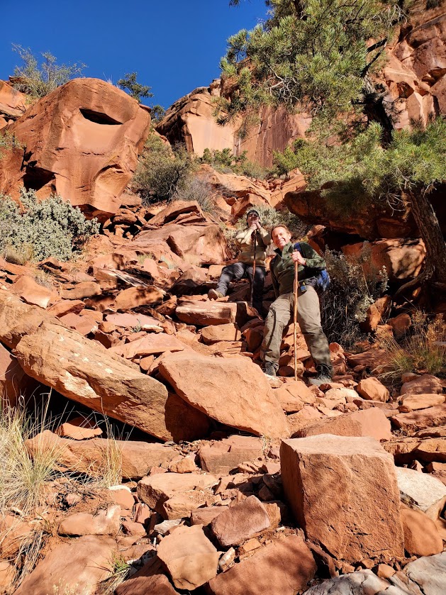
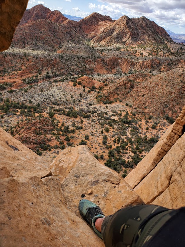
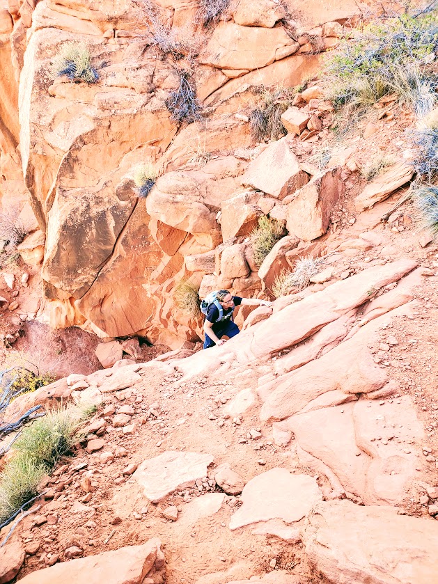
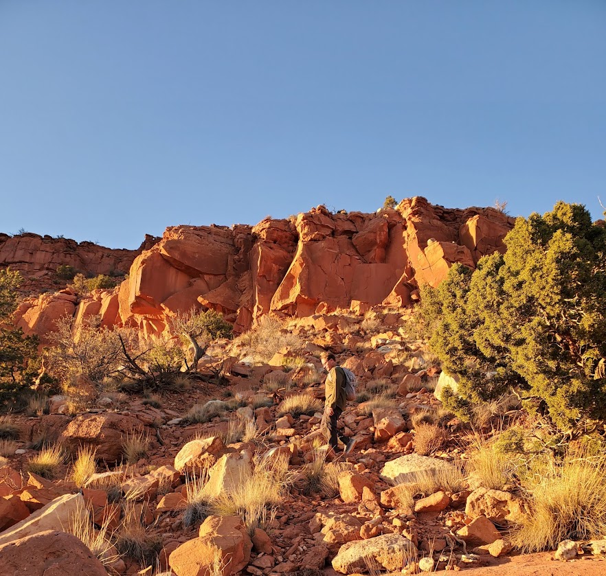
Difficulty: Moderate+ (To the waterfall is easy, after that, the hike becomes more difficult with elevation gain and a mix of route finding, scrambling, and bouldering. Route finding can be perplexing, if not impossible at the top where it becomes a choose your own adventure experience.)
Elevation gain: 2,208 ft (This only comes into play if you hike beyond the waterfall.)
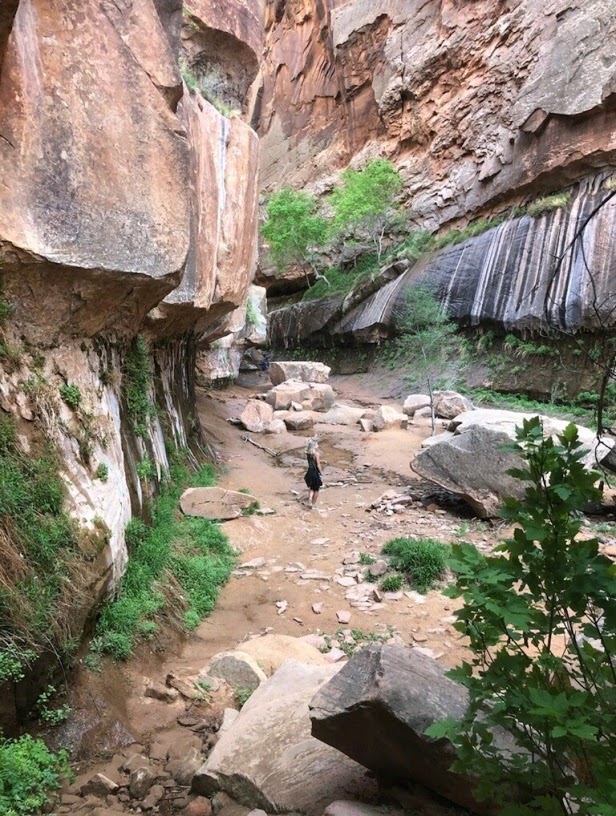
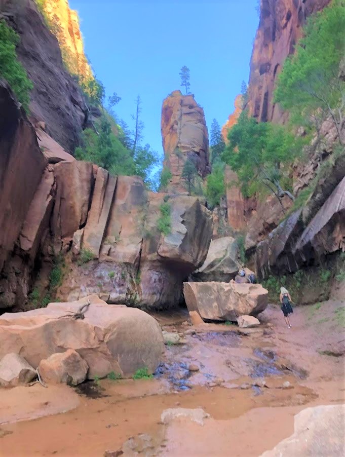
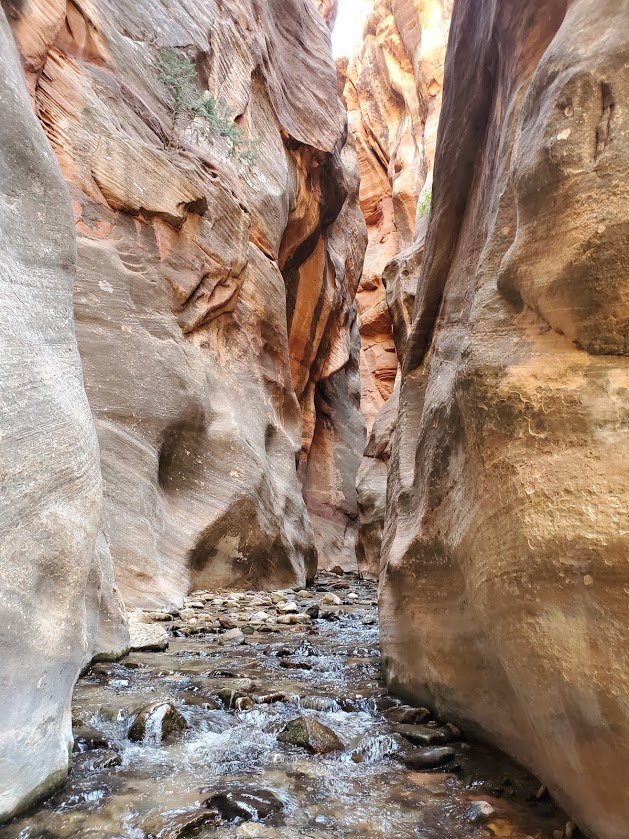
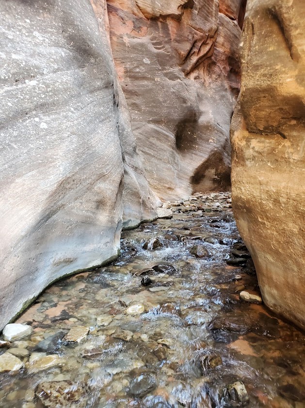
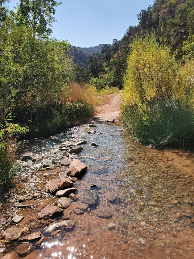
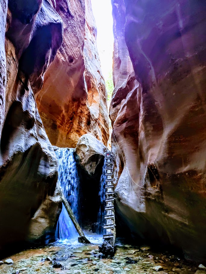
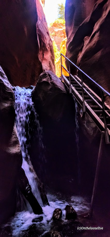
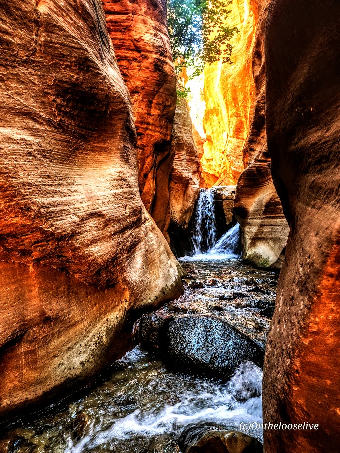
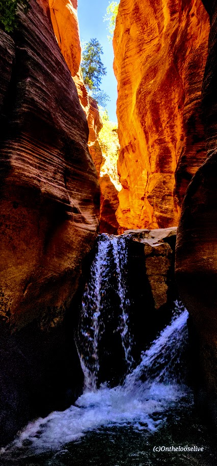
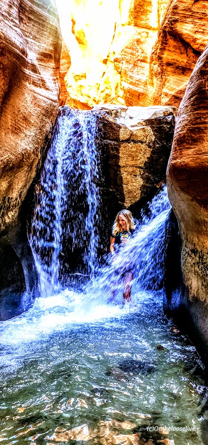
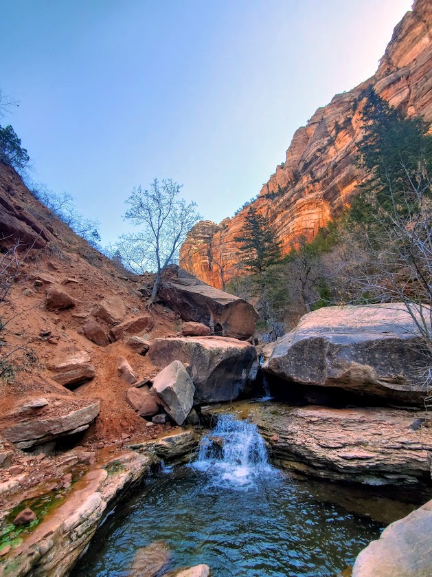
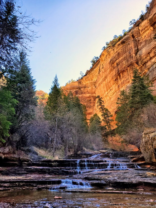
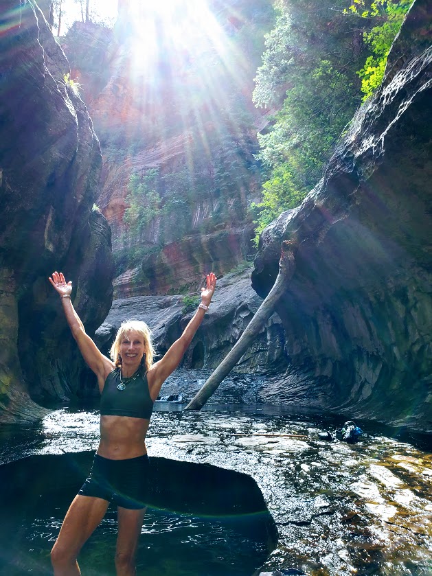
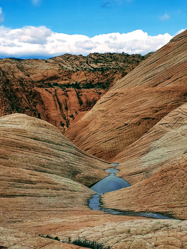
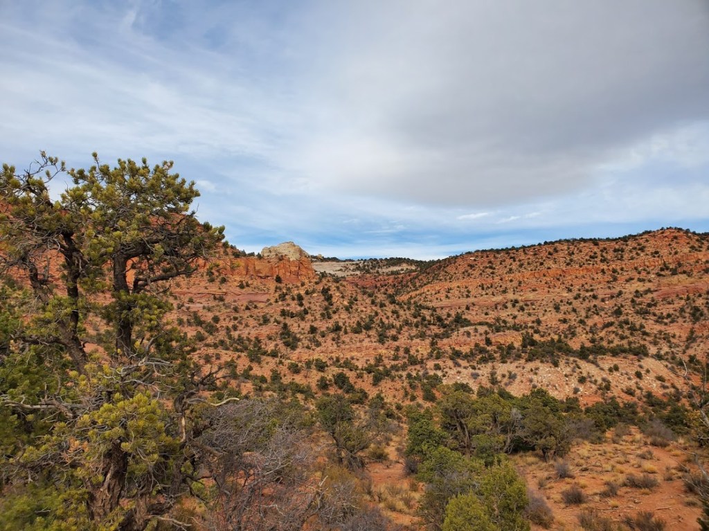
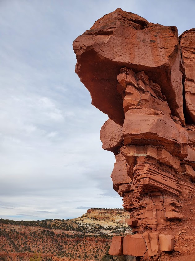
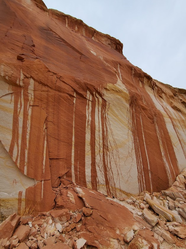
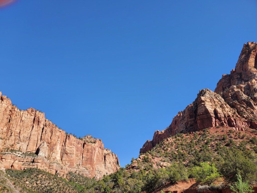
In the spring, the reward of a short hike (~1.5 miles ea way) is a beguiling, mini waterfall tucked into a slot canyon grotto. Beyond the waterfall, you’ll encounter an interesting, often difficult-to-follow trail that involves some scrambling, bouldering, some exposure, and heights. Not surprisingly, this picturesque canyon is a popular spot for canyoneering. Supposedly you can get to “White Domes” from here, but it’s difficult to ascertain how. I’ll update this post if / when I find a good route to them in the future – cross-country, over the top, or traversing up the rocks from the bottom.


Notes: If you’re in it for the waterfall, early spring is your best bet. The waterfall disappears as the months get hotter and drier. Watch the weather for flash floods. Avoid weekend crowds by going early on a weekday. If you’re going to wander on the rim, I suggest you use GPS or Alltrails, as finding the route back down the canyon can be tricky (understatement). Parking is free.
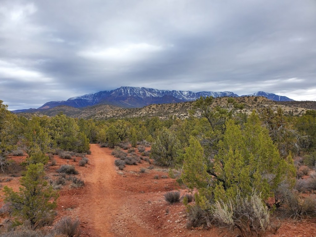
Getting there: I-15 N to UT-9 E/W State St and UT-59 S to Utah Ave in Hildale. Take Utah Ave to Water Canyon Rd. Follow the dirt road to the parking lot.
Happy trails!