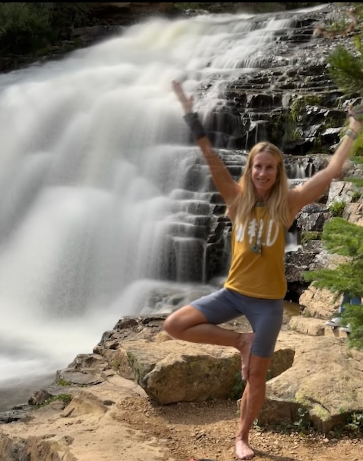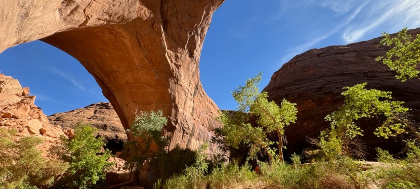
Discover Provo River Falls, a Scenic Must Stop Along Mirror Lake Highway (150), Kamas, UT

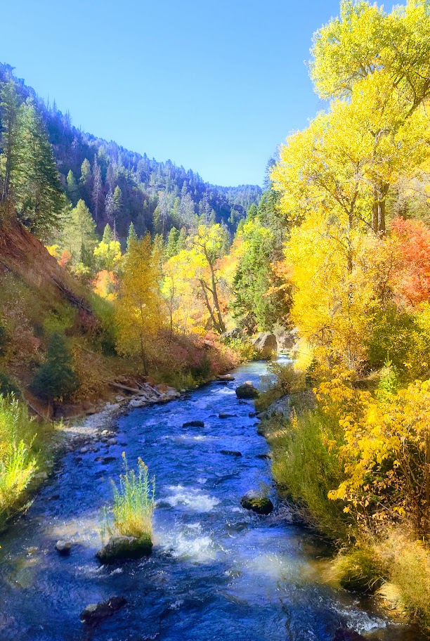
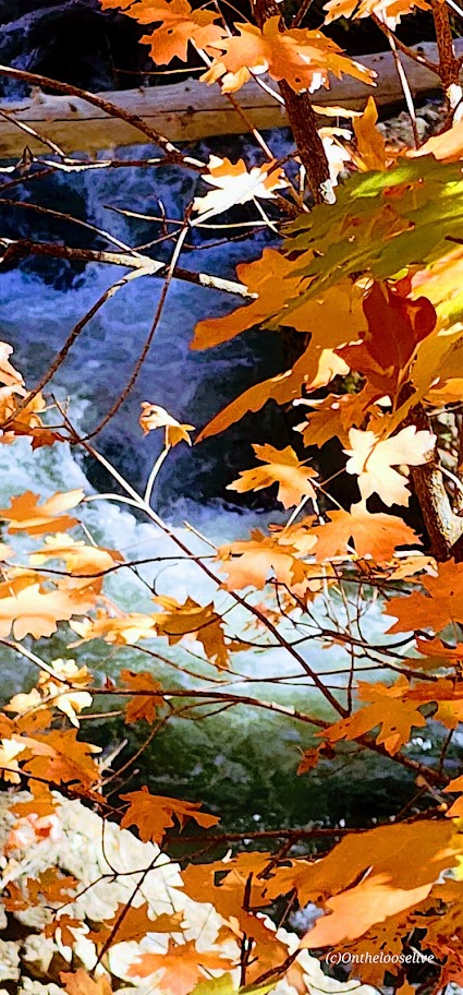
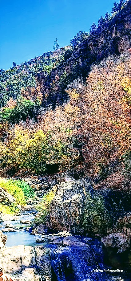
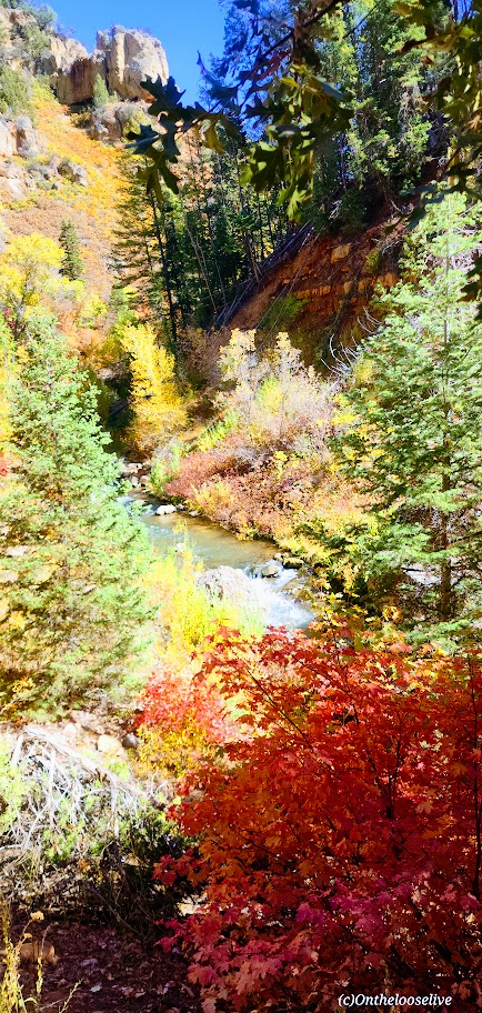
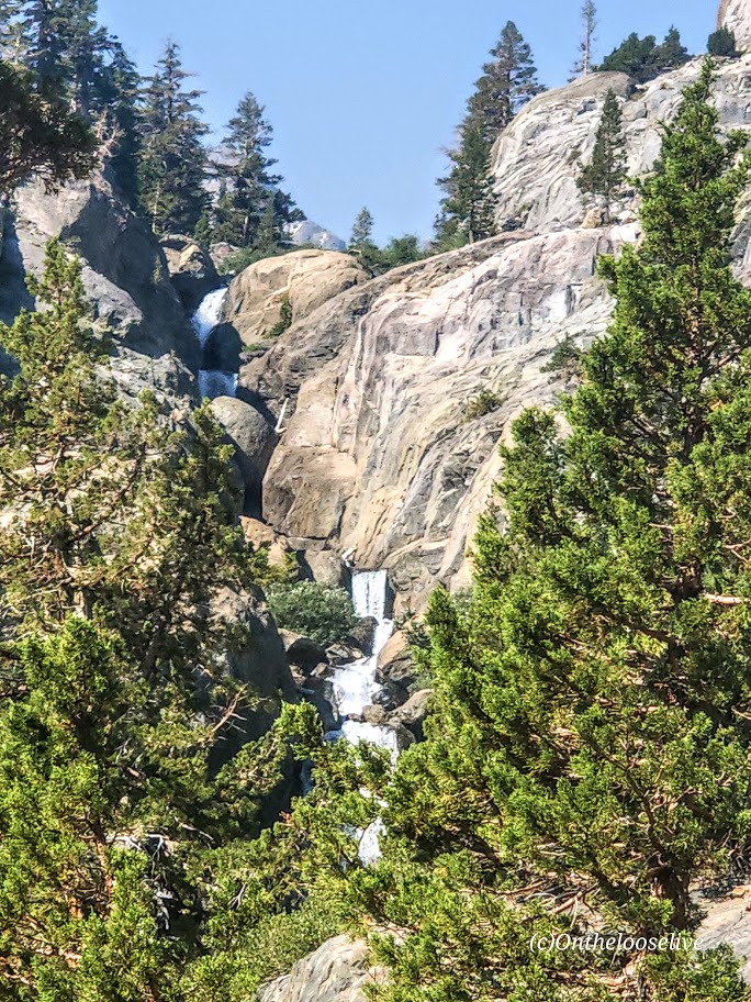
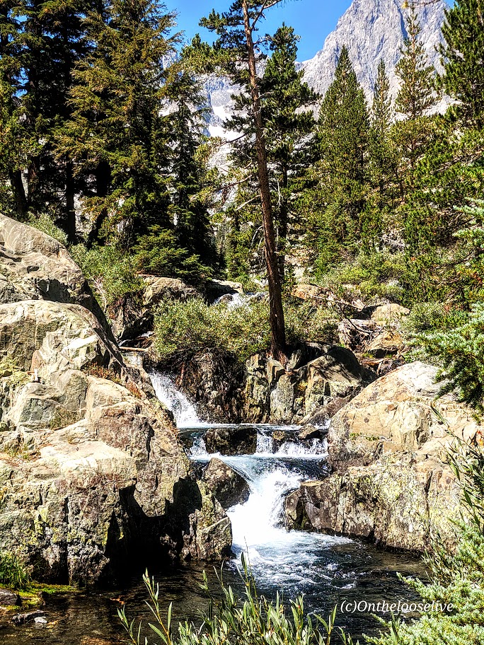
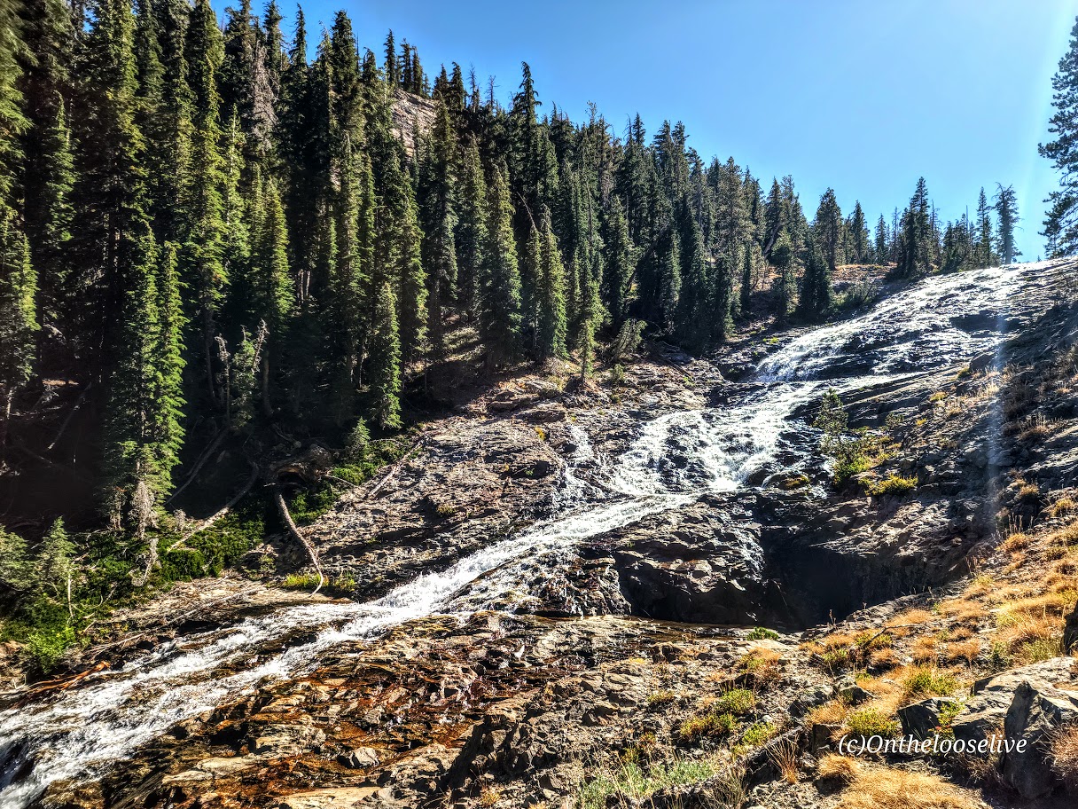
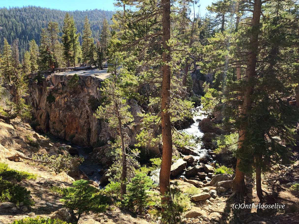
Just when I thought the scenery along Mirror Lake Highway couldn’t get better, I saw the sign for Provo River Falls and turned off (<15 minutes east of Kamas). This enchanting roadside waterfall has three tiers (upper, mid, and lower), lovely terraces, and multiple cascades. It’s a must-stop if you’re driving Highway 150. There’s a short paved path alongside the 3 waterfalls. The water temperature ranges from 35 to 55 degrees so the mist from the waterfall is wonderfully refreshing, especially on a hot day.

Enjoy!

Awesome Arches National Park, Moab, UT

Some call it Arches. After just a glimpse of a few of its thousands of stone arches, soaring pinnacles, massive monoliths, and giant balanced rocks, I call it Kingdom of the Gods. Here are a few highlights from a quick sunset photo shoot en route to a white water adventure on the Colorado River (stay tuned for that post). Can’t wait to explore more of this amazing park, but I’ll have to make do with this teaser post for now.

NOTES: Ticketed reserved entry runs from 6 am to 5 pm daily between April 3 to October 3, 2022. You can enter the park without a reservation before 6 am or after 5 pm. The park is open 24/7.Planning to visit Arches ? Get the scoop on making a timed entry reservation.

Happy Trails!

Lee’s Pass and the Kolorful Kolob Arch Trail, Zion Wilderness

Distance: 15 miles RT

Elevation gain: ~2K

Difficulty: Moderate to strenuous depending on your fitness level, definitely a little longer than your standard day hike, mostly smooth, sandy terrain, great for trail running

The trail begins at the Lee Pass Trailhead off of Kolob Canyon Road / Scenic Drive. You’ll drop quickly into the canyon (770 ft in .75 mile) and traverse through the forest on a gentle, sandy path for the first 4 miles or so.

And then it gets even better. Zion vibes without the Zion crowds. After descending another 1k ft, you find yourself surrounded by dancing aspens and majestic red cliffs. This is where you’ll get your first glimpse of lovely La Verkin Creek. Oh, my—a perfect spot to pause and take in all the beauty. I’ll be back just for it. Fall is a splendid time for this hike, but I’m sure spring and early summer are delightful as well.

Continue following the trail along the creek another mile or so until you reach the junction for Kolob Arch. This trail is less distinct and a little more rugged. The distant view of the arch (possibly the largest free-standing arch in North America) is ok, but wow factor is a bit muted without a blue sky backdrop.)

You can continue up the canyon to Beartrap Canyon and Willis Canyon or head out to Holob Canyon and Kolob Terrace Road.

There are 13 camping sites along the trail. Reservations are required and can be made online, but 2 backpackers I met on the trail told me that they were able to get their pass the same day.

Notes: Sadly, toxic cyanobacteria have been detected in La Verkin Creek. No dogs are allowed in Zion Wilderness (a good thing as dogs have been known to die within minutes of exposure to the cyanobacteria). Bring plenty of water as you can not filter water with cyanobacteria.

Happy Trails!

Revisited the trail recently to see La Verkin Creek show off her Spring look. She did not disappoint.

Funny wildlife encounter story. Well, it’s not funny if you’re the frogs or me. While I was “Wim Hoffing” it in the creek (careful not to submerge my head), I sat on 2 frogs in the midst of a tryst. Unfortunately, it would be their final, though eternal, encounter. (Gives new meaning to “happy ending”, doesn’t it?) In the meantime, as I was exiting the delightful natural pool, I almost grabbed onto a snake. There’s bound to be one in paradise, right? Notes to self, look before sitting and before placing a handhold. The harmless snake was lying in wait for the plentiful frogs. Little did he know that I’d arranged a 2 for 1 for him. Back on shore, a frog eyed and ID’d me as the culprit.

Other than that, the play/day was uneventful and beautiful. And, yes I still feel guilty about the frogs.

Zion’s Sublime Subway: Bottom Up—Is Tops!

Distance: ~9 mile round-trip (out and back)

Elevation: ~1900ft

Difficulty: Moderate, depending upon your fitness level. (Zion National Park’s rating is strenuous.) Steep and exposed initial descent and return ascent, otherwise fairly mellow trail with lots of stream crossings / stream walking, some rock-hopping, and minor scrambles over boulders. (Good idea to have some longer hikes with some elevation challenge under your belt before attempting.) Since footing can be precarious at times, especially at the Subway itself, but also along the way, expect the hike to take longer than mileage would indicate. Also, you’ll want to take the time to savor the beauty that surrounds you.  Average hike times range from 5 to 9 hours.

Definitely one of my favorite Utah hikes so far—epic scenery, waterfalls, the magnificent, iconic beauty of the Subway, and a solid workout.

More than 1 of us accidently took the wrong “trail” down.  Not sure how that happened – maybe it was too early in the morning, and too much excitement. If it looks and feels like you’re navigating down a precipitous, vertical avalanche area —retrace your steps back to the trail and continue on. While the descent and ascent are steep, they are on a definite trail.

The hike description noted a strenuous and steep descent / ascent so we didn’t think we’d gone astray until we found the real trail (pic on right) on the way back.

Apparently, there are some dinosaur tracks just off the “trail” somewhere – their whereabouts remain a mystery to me. I’ll let you know if I find them on my next trip.

Keep your eyes out for snakes, toads, and trout.

And yes, there’s also a top-down route to the Subway that requires canyoneering, rappelling, and swimming. It may be in my future—will report back, if and when.

Heads-up:

  • Walking stick with a solid rubber end and grippy shoes highly recommended. (You’ll be traversing many slippery rock sections through the stream and at the subway itself. Be cautious – safe is better than sorry. Many helicopter rescues occur here. Don’t be one of them.)
  • Be aware of flash flood danger and heat exhaustion exposure. Get the weather report and double-check with rangers. I went in April and it was 90 degrees by midday—some fellow had heat stroke on the trail. (Bring plenty of water, a hat, and sunscreen.)
  • This is a day use only area and permits are required. An advance lottery system applies from April to October and calendar reservation applies from November through March. There is also a last-minute drawing and you can always check for cancelations day of—unlikely, but we met a couple who nailed both a same day cancellation opening for the hike and a campsite so you never know. (Permits are $15 for 2, $20 for up to 7, and $25 for up to 12 people.) Lottery, reservation, and permit details here.

Good luck – it’s soooooooo worth it!

Getting there: Left Fork Trailhead on Kolob Terrace Road

Happy Trails!

On the Trail of the Elusive Borrego (Bighorn Sheep): Borrego Palm Canyon Hike, Anza Borrego State Park, CA

Anza Borrego State Park is named after the 18th century Spanish explorer Juan Bautista deAnza and borrego, the Spanish word for bighorn sheep.

The park covers 600,000 acres and is the largest state park in California and, the second largest in the contiguous United States. It contains 500 miles of dirt roads, 12 designated wilderness areas, and 110 miles of hiking trails.

The endangered peninsular bighorn sheep, often called desert bighorn sheep, make their home here. It’s said that visitors and residents seldom get to see them as they avoid human contact.

We arrived at the park about 45 minutes before sunset (golden critter hour) and decided to go for a quick run up the scenic and pleasant Borrego Palm Canyon Trail (3.25 miles) before dark.


This slideshow requires JavaScript.

We looked up the steep rock studded canyon walls at precarious boulders, wondering if they ever dislodged…We walked part of the way back hoping to see some wildlife.  I told Ken to keep his eyes open. I have terrible eyesight and the stone and sunset shadows are perfect camouflage for anything that wants to evade notice. Then I heard something that sounded like a boulder crashing down…and Ken saw something in the distance…The head bangers in action! A group of 5, the one sitting on the rock officiating looked frail, perhaps an elder. I felt like I was in a National Geographic show. It was amazing!

The next morning we had breakfast at the local coffee shop. While we were there, we struck up  a conversation with a ranger and local at the next table. We shared our adventure and the video on my phone. There was an elderly couple standing nearby, watching me with annoyed faces and their arms  crossed. (Was I talking too loudly or did I steal their table?) Nope, the woman finally broke her silent glaring and told us in an exasperated voice that they had been hiking the canyon nearly ever day for years and had never had a big horn sheep sighting – not even 1. That’s how lucky we were.

Turns out one of the fellows that we were chatting with was the co-creator of the Desert Bighorn Sheep Book that I was browsing through. How cool is that?

20151214_082754_001 (1)
And yes, this gorgeous book is available at AMAZON  and the Anza Borrego Visitor Center.

And if all that wasn’t magical enough, on our drive out of the park, this healthy coyote couple appeared to see us off.

Coyotes Close up A B

What are your most memorable wildlife sightings?