Climbing Corkscrew Peak, Death Valley National Park, CA

Distance: ~8 miles

Elevation gain: ~3,360 ft

Difficulty: Moderate to strenuous, depending upon your fitness level (3k ft climb in ~2 miles). Class 2.

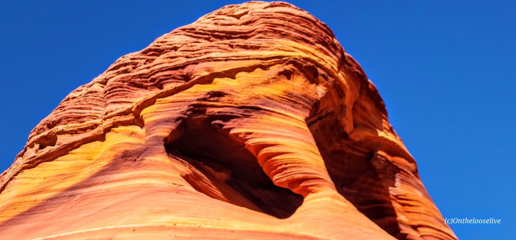
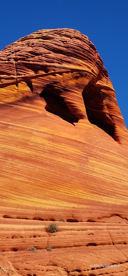
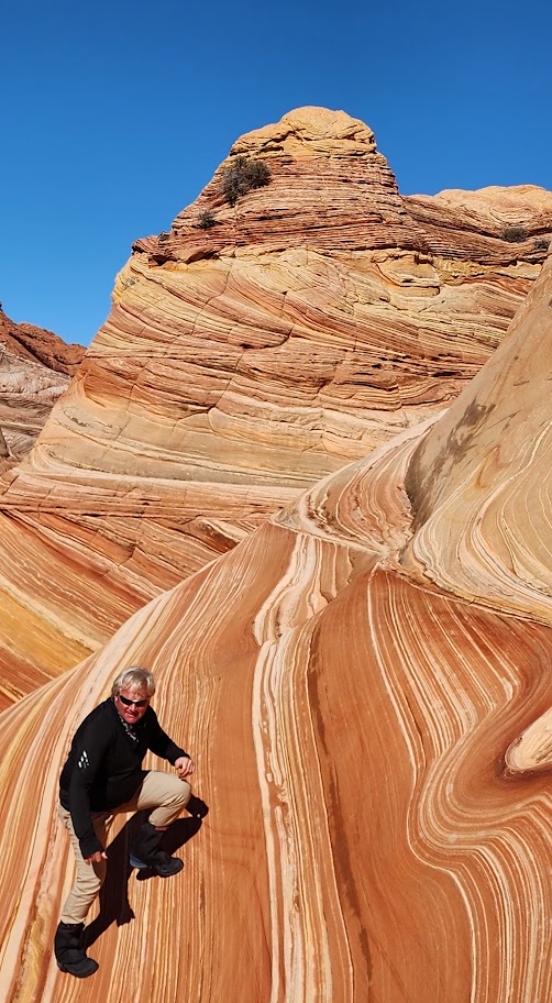
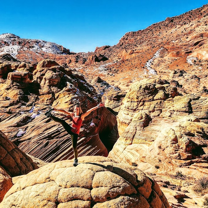
Corkscrew Peak (5,804 ft) is the imposing sentinel in the Grapevine Mountains of northern Death Valley National Park. It looks intimidating from afar and upon the approach, but the trail isn’t bad, and it’s a great workout. Definitely one of the most unique peaks I’ve seen.

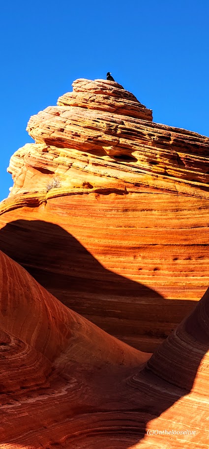
Speaking of trails, the first portion requires some route finding. Head West from the Corkscrew Peak sign and follow the wide wash towards the peak. The route is cairned, gentle, and gradual, leading you to a narrow canyon area at about the 2-mile mark. Here, you’ll scramble up and out of the wash on the left. You’ll climb the spiraling rocky trail for the next 2 miles. Watch your footing, as there are many spots of loose gravel. All told you’ll be climbing 3,360 feet to the top—most of it packed into a somewhat intense 2 miles.

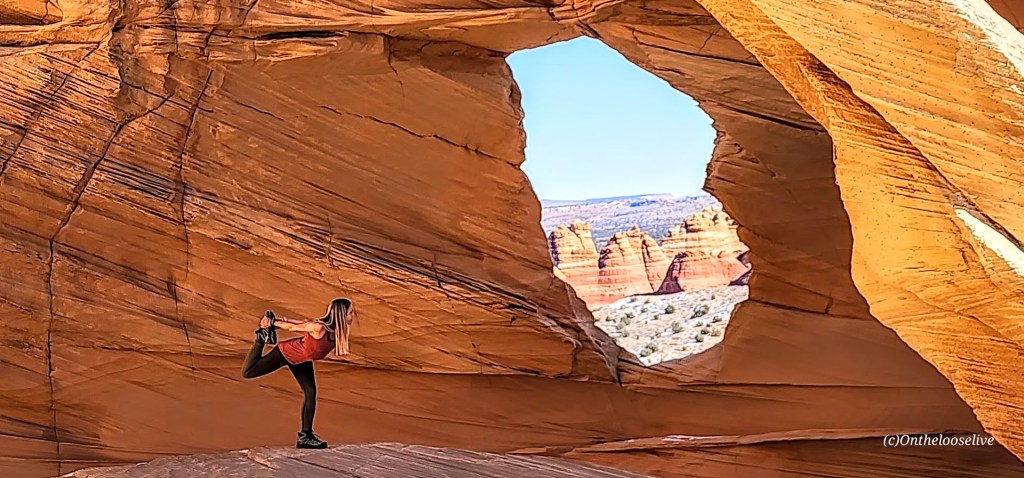
Right before you reach the top, there’s a cool natural window, a nice spot to return to enjoy a snack, and the view before the steep, slippery descent.

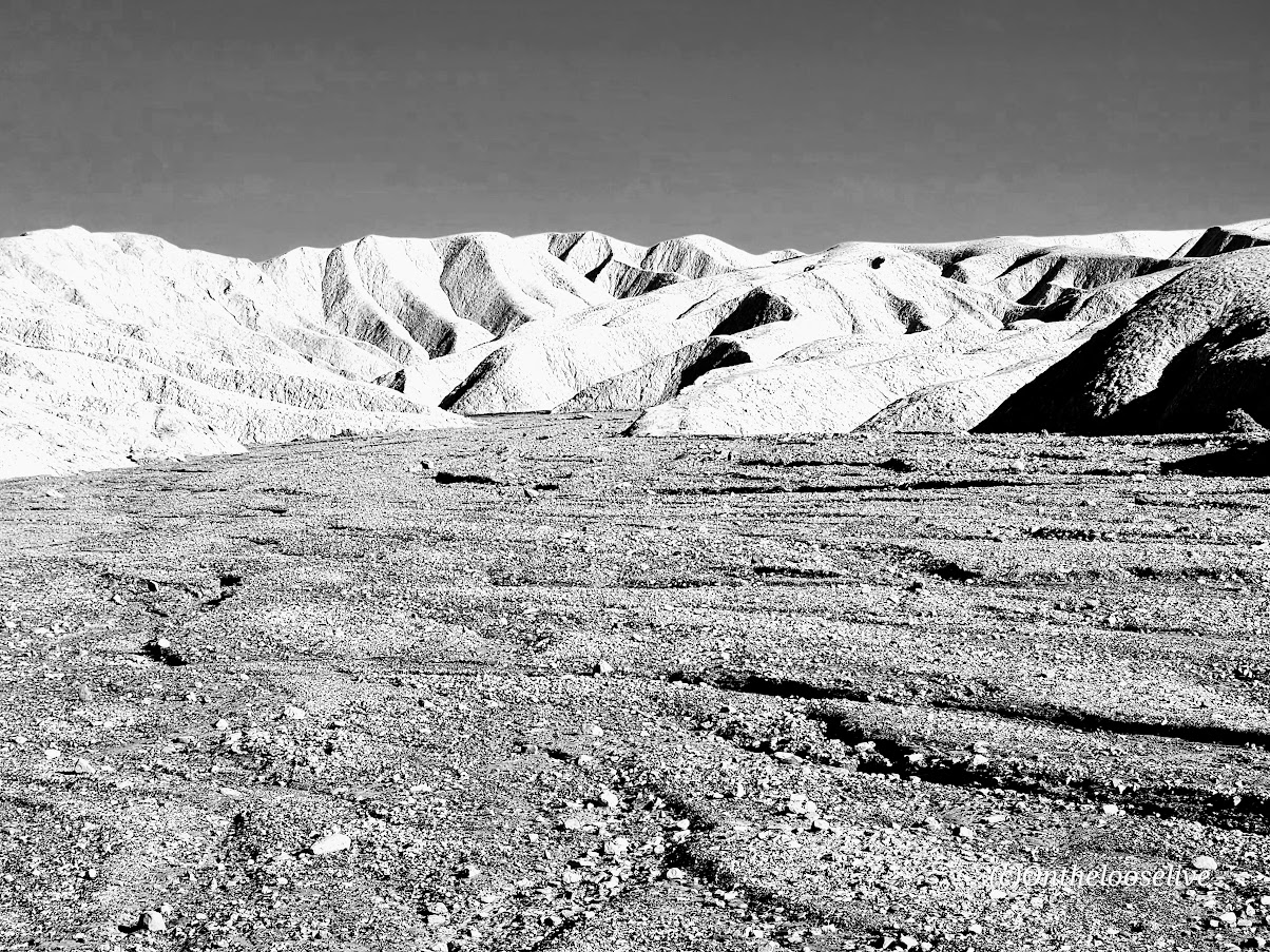
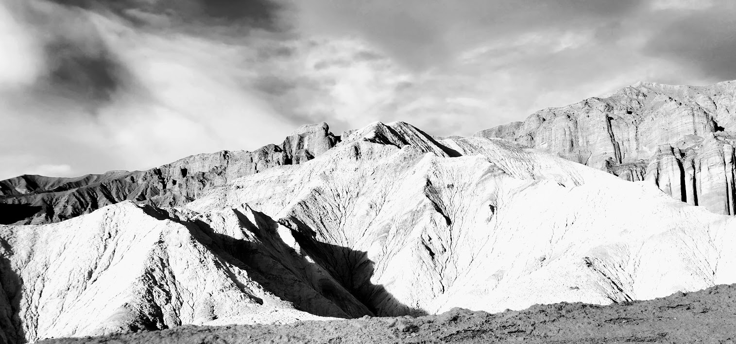
From the top, you’ll enjoy splendid views of Death Valley and surrounding peaks, including Langley, Whitney, and Telescope. You can also document your peak bag in the summit record, which is in a metal container wedged between some rocks at the top.

Getting there:

From the Visitors Center at Furnace Creek, drive ~ 11 miles N on State Highway 190 to the signed, paved Daylight Pass Cutoff Road toward Beatty, NV. Turn right and follow this road 10 miles to a signed road fork at Hell’s Gate. Go right onto Daylight Pass Road and drive 0.9 miles. Park on the dirt shoulder.

Notes: The initial section of the trail is a wide wash north of the road. The trail is slippery in sections with loose gravel “marbles; choose hiking or trail running shoes with the best traction. Some recommend poles for the way down. Personally, I do better on slippery downhill if my hands are free. It’s possible to trail run up, but be cautious on the way down.

Happy Trails!

Popular Pinnacle Peak for Panoramic Views and a Great Workout! Scottsdale, AZ

Distance: ~4 miles out and back

Elevation gain: ~1K (Trail high point is ~2,900 feet.)

Difficulty: Moderate to strenuous depending on your speed and fitness level.

Popular with locals and visitors alike, this trail is a great go-to if you’re in the area and have a limited window for a hike or trail run. You’ll be rewarded with panoramic views and a great workout. I enjoyed jogging the climb so much, I forgot to take pictures-lol, so you’ll have to come see the views for yourself. The trail doesn’t let you scramble to the actual peak, but tops out and then drops you down the other side.

Notes: Parking is free, but limited. Weekdays are less busy than weekends. Pinnacle Peak Park has a visitor center and restrooms, interpretive signs along the trail, and apparently rock climbing routes too. They offer fun activities as well, including moonlight walks, astronomy talks, yoga classes.

Getting there: 26802 N. 102nd Way Scottsdale, AZ 85262 · (480) 312-0990.

Spur Cross Ranch Conservation Area, Cave Creek, AZ

Distance: You choose ~2 miles to 19.7 miles

Difficulty: Easy to moderate, varies depending on the trail(s) chosen, length, and your fitness level

If you’re in the Scottsdale area and have time for a field trip, I highly recommend an excursion to Cave Creek. Hike the Spur Cross Ranch Conservation Area and enjoy the Saguaro “forest”, refreshing shaded creek-side trail, and if you keep your eyes open, you may get lucky and spot some petroglyphs too.

Choose your own adventure from 16 hiking and equestrian trails in this 2,154-acre area. My friend and I combined a couple of trails (Spur Crossing, Tortuga, and Dragonfly) for ~8 miles with ~1k of climbing. The terrain is mostly run-friendly.

FUN FACT: Did you know that Saguaro “arms” typically appear at 50–70 years, and they can live over 150–200 years, growing up to 40-50 feet tall?!

After your adventure, head to town to quench your thirst, refuel, and shop in this blended authentic/tourist-trap Western town settled in 1870. If you’re a burger fiend, Big Earls is a sure bet.

Getting there: 29 miles from Scottsdale, via AZ-101 Loop N and N Scottsdale Rd, 44000 N Spur Cross Rd, Cave Creek, AZ 85331

Notes: Spur Cross Ranch Conservation Area $3 per person fee. Picnic tables and port-a-potties are available at the trailhead parking area. Leashed dogs allowed.

We all scream for ice cream at the City Creamery.

I had the best ice cream of my life at The City Creamery, home of handmade, small-batch ice cream in 16 favorite varieties and exotic seasonal flavors. (I’m not that much of an ice cream monger, but oh, my—delicious, chocolate infused with orange!) Also, their scoop portions are HUGE. However, I did manage to eat it all.

Happy trails!

Cheers from Stumbalina’s Cantina!

Hanging 10 at the Elusive Wave. Paria Canyon-Vermilion Cliffs Wilderness, AZ

After diligently trying for 3 years, my adventure partner Bernie finally lucked out and won the highly sought-after lottery for “The Wave” / Coyote Buttes North—one of the most striking geological wonders of the world. The trailhead is in Utah, but the Wave and the 3-mile hike to it are in Arizona.

The landscape was enchanting from start to finish. The colorful, striped, groovy rock formations that comprise this mesmerizing geological wonderland are part of the 112K acre Paria Canyon-Vermilion Cliffs Wilderness. 

The Wave was awe-inspiring, though the area was much smaller than I’d envisioned. My photos don’t do it justice, but there are plenty out there that do.

Unexpected highlights included some colorful formations along the way, an alcove, and a double arch beyond the Wave.

And we had the good fortune to run into some of the locals who get to call this area their home.

The maximum group size is 6, with a daily maximum of 64 people permitted. I’m for lotteries in these exquisite natural areas . It eliminates undesirable crowds, optimizes the visitor’s experience, and helps keep our natural wonders pristine. However, the lottery system for the Wave is complex and, as with most lotteries, not rigged in the player’s favor. One of our friends has been trying for 10 years! Some would argue that the system favors two tour companies that often swoop up the most permits and charge $200 per head to escort people to the main attraction and other points of interest when the group is game and time permits. Permit info.

One clear advantage of going with the guides is that they assume the risk of the notorious 9-mile drive to the Wirepass Trailhead on the rough and often unruly/treacherous House Rock Road. The perfect storm of ingredients, precipitation (rain or melting snow), thick sand, deep mud, and slick clay coagulates like quicksand to trap jeeps, trucks, and those silly enough to attempt the drive without a 4-wheel drive in their tracks. The tow cost alone likely would be several times the cost of a group tour. Our group evaluated the risks and the weather and took the tour with Dreamland Tours. Great operation, and I highly recommend our guide, Melanie Rader.

Naturally, despite doomsday predictions from the BLM and Visitor Center, the road was tame and easily passible with any 4-wheel drive on the day we went. Better safe than sorry as they say.

While we were disappointed that we couldn’t explore on our own, we appreciated the insights and highlights that Mel shared. We’re looking forward to exploring White Pocket next, along with the permitted Coyote Buttes South. A daily maximum of 20 people is permitted to visit Coyote Buttes South. Permit info.

Ok, so I didn’t exactly hang ten here, but our friend, Cris did.

The yoga pose photobomber strikes again and again! Perhaps my yogi balance poses or headstand count?

Happy Adventures!

Zooming around the Zabriskie Point Loop, Death Valley National Park

Miles: ~7, options for additional explorations along the way in Gower Gulch, Gold Canyon, and Red Cathedral. You can also take the shorter, easier Badlands Loop (2.5 miles) for a quick immersion. If you’re not up for a hike, you can take the ¼ mile walk up a hill on a paved path to the lookout.

Elevation gain: 827 ft

Difficulty: Easy to moderate, depending on your fitness level. The trail is “runnable” when crowds are light.

Rated # 3 top hike in Death Valley National Park.

Among the most photographed spots in Death Valley National Park, Zabriskie Point boasts expansive views of yellow and brown striped hills, the badlands and salt flats beyond, and the Eastern Sierras in the far distance. Great for sunrise and sunset pics! I got there just before sunset so made it a fast zoom around. I’ve explored Golden Gulch before that’s worth it too!

The dance of light and shadow on the stark dramatic landscape is compelling in color and black and white. It’s obvious why this area was one of Ansel Adam’s favorite photography playgrounds.

If you look closely at the picture on the right above, you can see the trail tracing its way up to the ridge.

Fun Fact: Death Valley is the hottest place on earth and the lowest, driest place in North America.

Getting there: The Zabriskie Point lookout and trailhead parking lot for both Badlands and the Zabriskie loop is a 15-minute drive East on Highway 190 from Furnace Creek Visitor Center.

Happy Trails!