Stave Springs to Observation Point, Zion—Take the Hike Less-Traveled for an Engaging “Angel’s Landing-Like” Experience Without the Crowds

Distance: 9.3 miles

Elevation gain: 2k

Difficulty: Easy to moderate, depending upon your fitness level

This is definitely one of the more engaging official trails in Zion and now one of my favorites. From the trailhead, it begins as a tame, wide-open, flat route.

After a mile or so in, stop and look back for a glimpse into a dark canyon below.
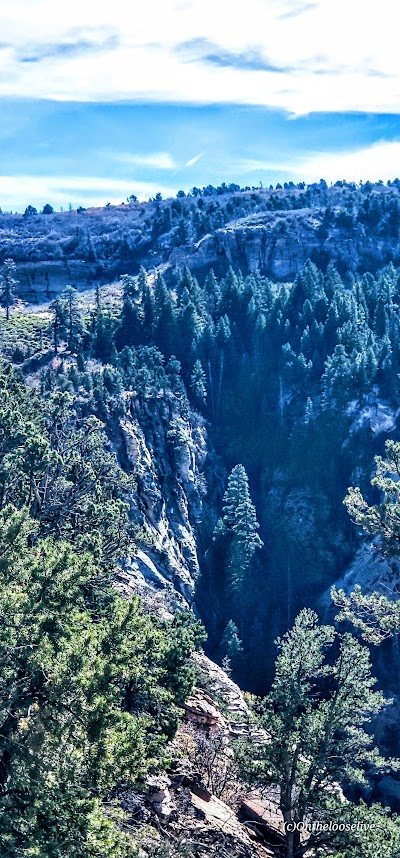
As you continue along the trail, you’ll be treated to distant views of Zion, but don’t forget to watch your step as you descend the rocky trail into the lightly forested valley.
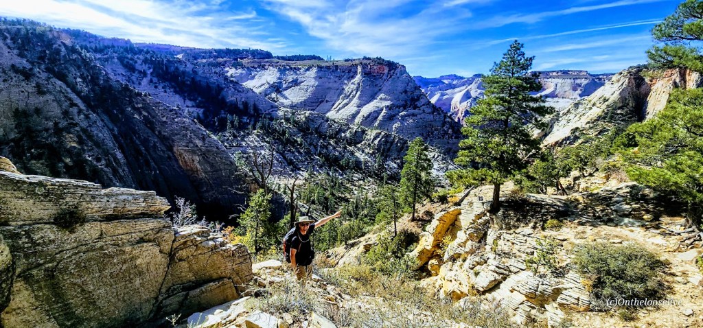
After reaching the other side of the valley, the climb will begin in earnest along the remnants of a concrete trail, zigzagging up to higher ground. It’s a friendly grade and easy terrain for fast hiking or trail running. It’s reminiscent of Walter’s Wiggles on Angel’s Landing, but the big difference is that you’ll likely have it and most of the hike from Stave Springs all to yourself!

This was my favorite part of the hike—a great workout with great scenery! (The picture above was taken on the return trip down.)

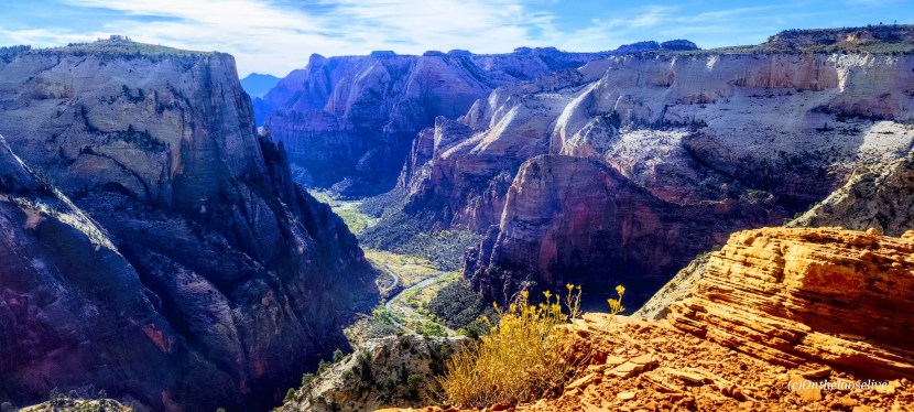
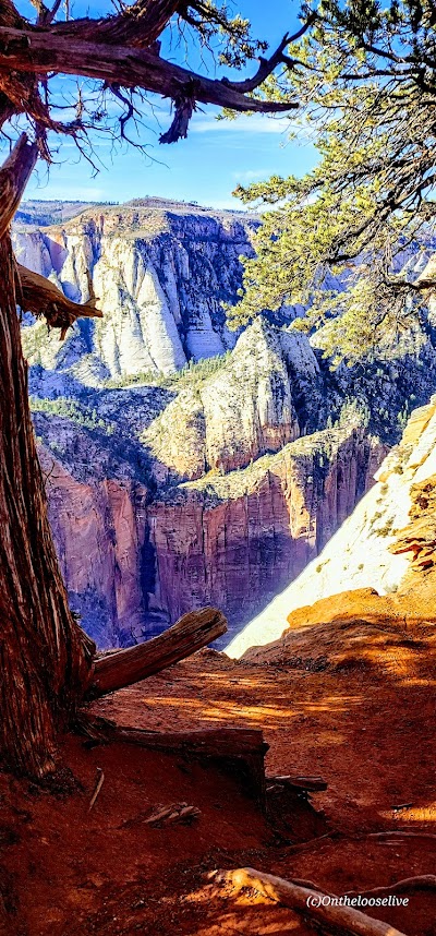
Once you reach the zenith, the views into Zion Valley are spellbinding, but you’ll want to keep your eye on your footing as you traverse along the slim cliff rim. (If you’re subject to vertigo and have a strong fear of heights, this might not be the hike for you.)

As you approach Observation Point, you can see Angel’s Landing below and across from you, a very cool perspective! This hike doesn’t have the rugged, chained, cliff-hanging social media over-posted appeal and crowds, and that’s exactly why it appeals to me.

Looks like angels are landing on Angel’s Landing. The picture above is taken from the trail along the rim. How dangerous is it? Might depend upon whom you’re with… In 1997, James Bottarin was accused of pushing his wife, Patricia Bottarini, off the cliff to her death here. Choose your hiking (and life partners) carefully!
Yes, Observation Point Views are grand, but in my opinion, they are no better than what you see en route, so you can always skip the last 1/2 mile or so if you want to skip the crowds.

There are two downsides: one is the long drive to reach the remote Stave Springs Trailhead, which is actually an upside, as it keeps the humans away. The second is the crowds you’ll encounter at Observation Point, who have taken the easier, shorter, less engaging route from East Mesa. It can be a shock to the system, especially after enjoying the splendid solitude of the Stave Springs route. Select the hike that suits you, but please note that both trailheads have limited parking, so arrive early to secure a spot.

If you’re lucky, you might encounter some of the locals.

Driving back through Zion and capturing golden light is always a delight.

Getting there: Use the Zion Ponderosa Ranch Resort address for your GPS: Twin Knolls Rd, Orderville, UT 84758. Once there, signs will direct you to the trailhead. It’s a gravel road with a couple of rough spots by the small parking area. High clearance recommended.

Happy Trails!

Anasazi (Tempi’po’op) and Tutkupetsi Trails, a Local, Family Friendly Favorite for Petroglyphs, Fall Colors, and Grand Views

Difficulty: Easy

Distance: Short: 1-5 miles; you can combine trails to make a longer loop

Sometimes, we take the people and things closest to us for granted. That’s the case for me and my local Anasazi (Ivins) and Tukupetsi trails (Santa Clara). These easily accessible, connecting trails are short (runnable and mountain bikeable), featuring the intriguing Land Hill petroglyph site, a fenced-in farmstead ruin once used to store food and herbs, and grand views in every direction.

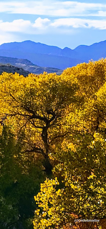
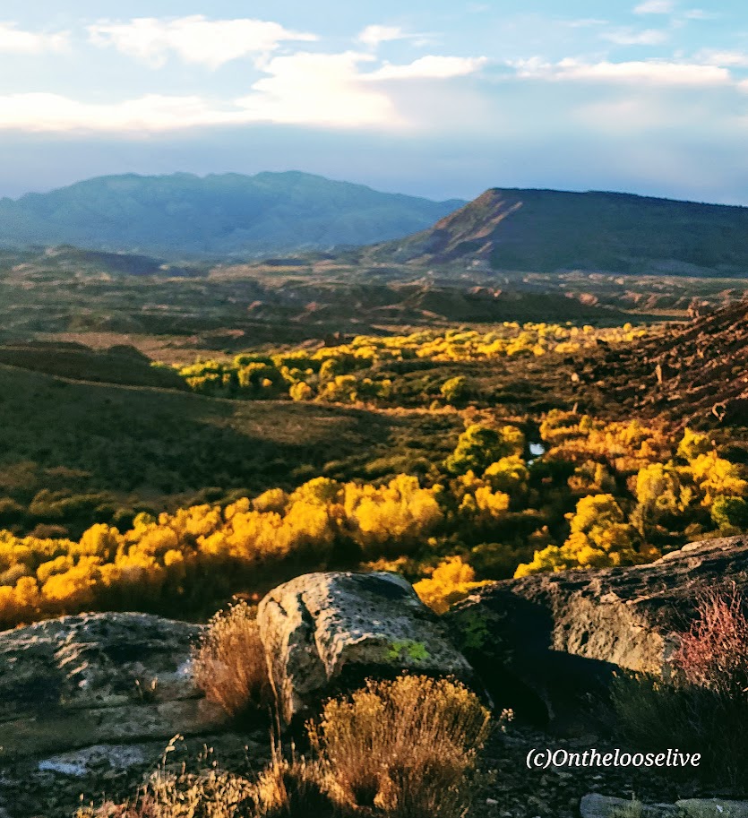
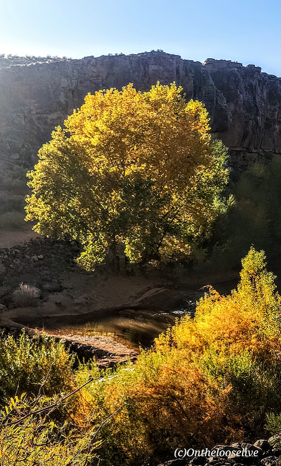
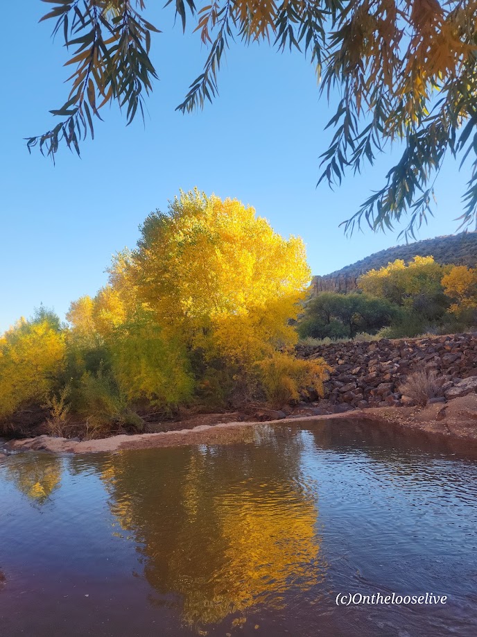
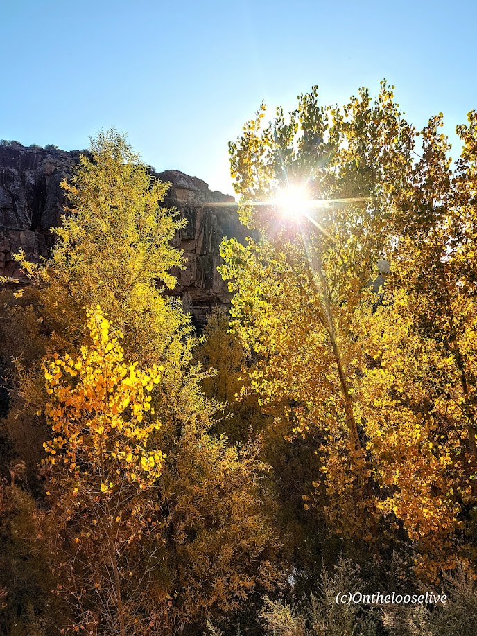
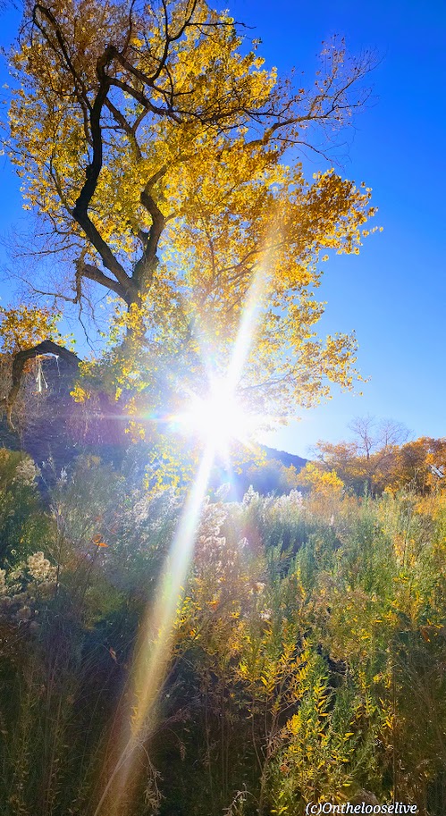
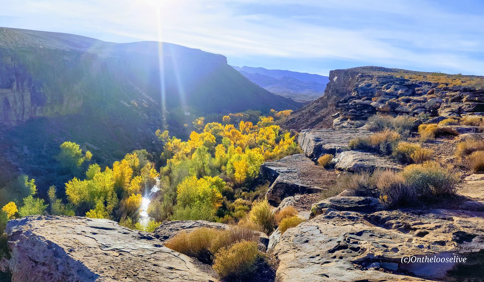
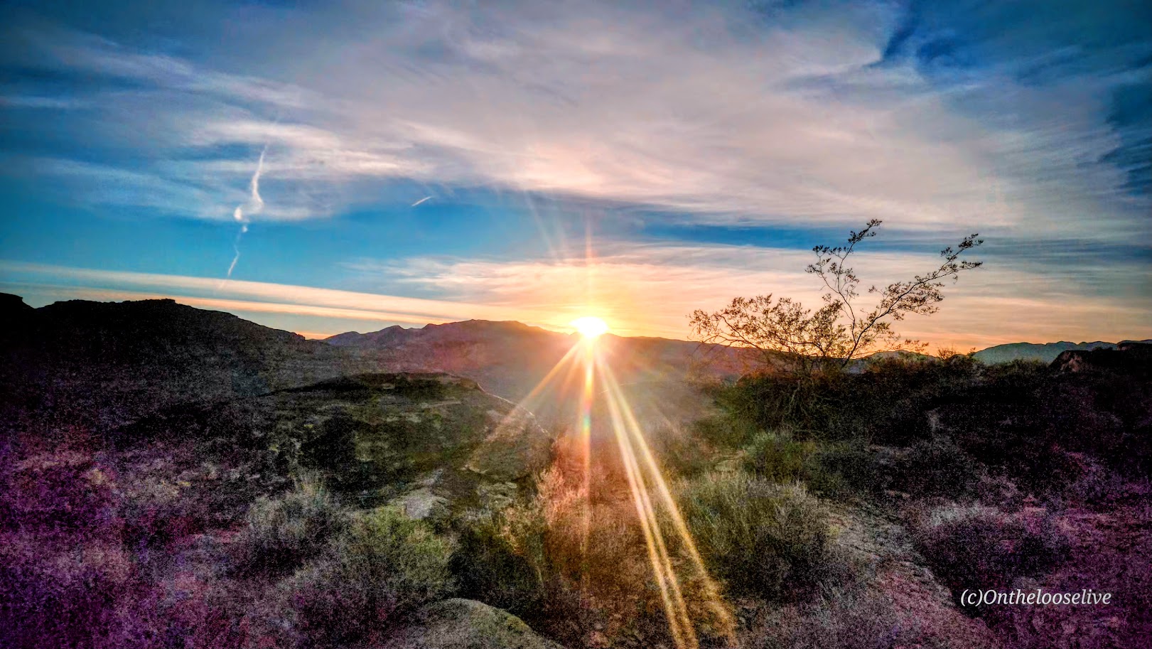
I like these trails best when the Cottonwoods light up the rugged desert landscape with their vibrant flash of yellow, tracing the meandering (and meager) path of the Santa Clara River below. You can find me there, chasing leaves and golden light in my annual frenzy to catch it just right.

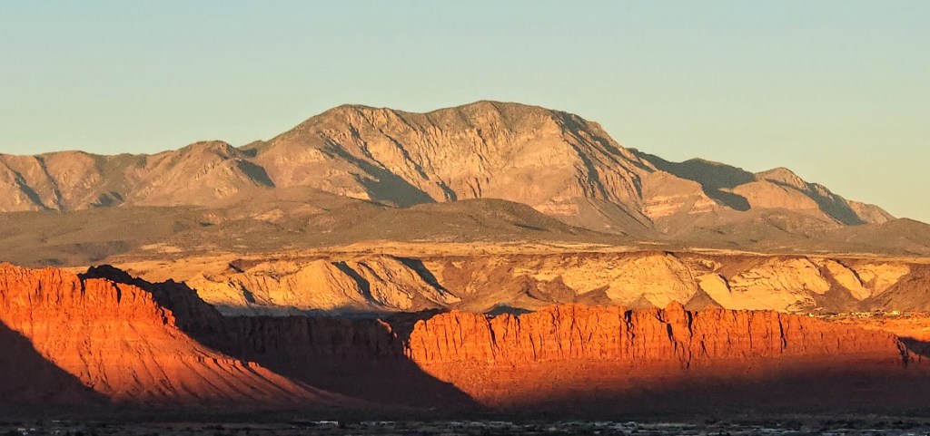
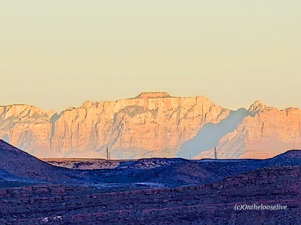
Take in the panoramic views of Red Mountain, Pine Valley Mountain, and, on a clear day, as far out to Zion from the ridge.

I will only post a couple of petroglyph pictures. I’d like you to be able to discover them for yourself.

If you’re interested in learning more about petroglyphs, my hiker/yogi friend, Sue Birnbaum, an adventure blogger, has thoroughly researched and written a great post on the subject, including recommendations for further reading.

Here are some highlights from the Tukupetsi side in Santa Clara from the vantage points of the upper and lower trails.

And more from Fall 2025.

Notes: Remember to leave no trace and respect all ancient petroglyphs and ruins. Please do not touch, step, sit on, or deface them. Oils in your hand can damage them, as can debris from your shoes. Perhaps think of them as outdoor museum art and appreciate their mystery.

These easy, short, fun hikes are offered by onthelooselive yoga and hike retreats and day adventures.

Happy Trails!

Stupendous Stewart Falls in the Summer and Fall, Sundance, UT

Distance: ~3.5 miles out and back via lower trail

Elevation Gain: 650 ft (You’re starting at about 6,100 ft)

Difficulty: Easy to moderate, depending on your fitness level

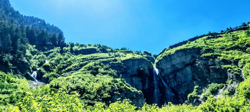
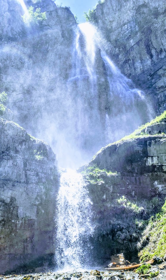
I finally made it to the spectacular 200-foot, double-tiered Stewart Falls! What took me so long?

(The truth is, I’m guilty of prioritizing marvelous Mount Timpanogos via the Aspen Grove or Timpooneke routes when I’m up here and rarely have time to fit in this quickie.) This time, I fit in Lake Blanche in the morning and made this my afternoon destination. A bit of driving, but worth it.

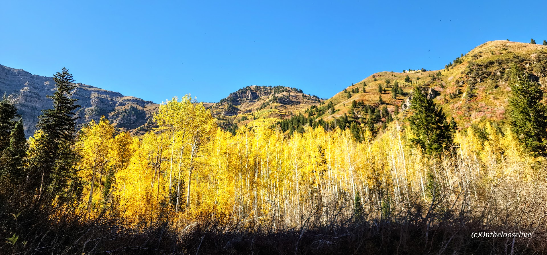
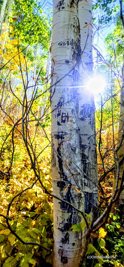
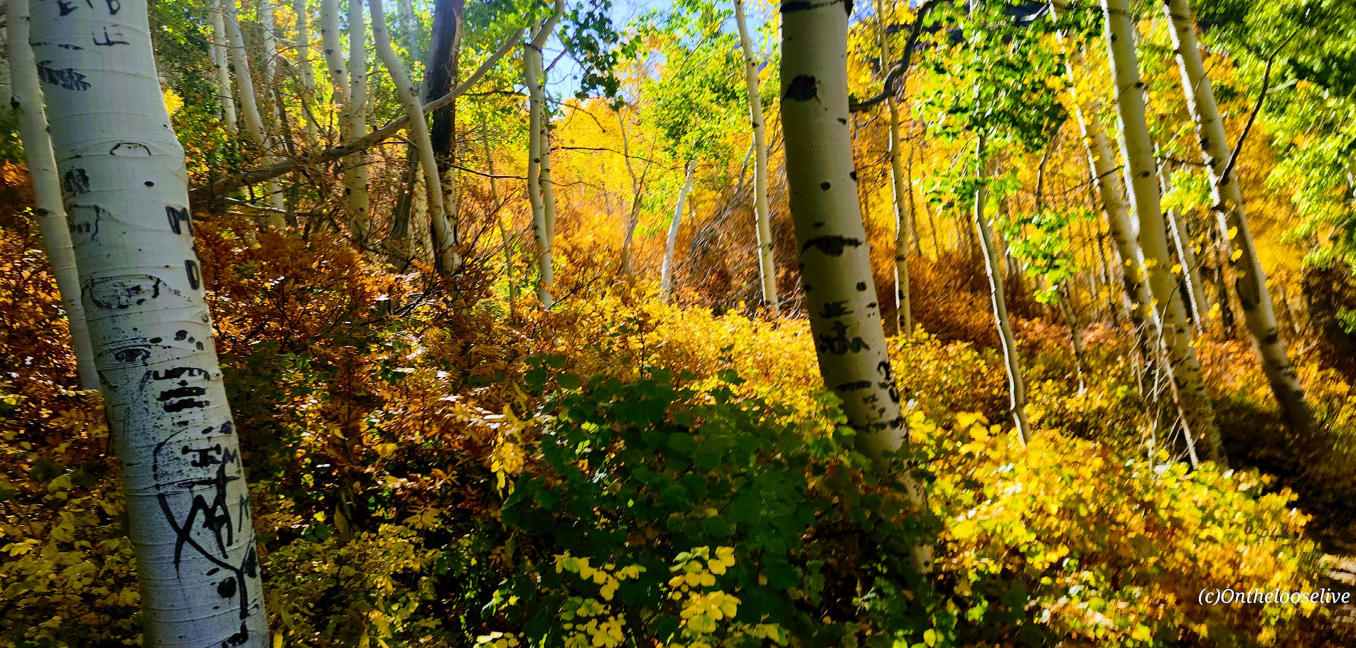
This lovely, runnable, single-track trail through the forest is especially enchanting in the Fall, with the Aspens at the height of their color. You can’t beat the splendid reward of this shortie

Make a day of it; check out the beautiful grounds of the Sundance Resort, grab a bite, and browse the shops.

Turns out Stewart Falls is just as splendid in the summer. In fact, with the snow melt, it really rushes and mists, and you may get to see additional falls!

Getting there: The trail begins at the Aspen Grove Trailhead parking lot. The entrance fee is $10 or free with a National Park Pass. This lot fills early, and they do ticket cars along the street. Pay close attention to the “No Parking” signs; they’re easy to miss.

Happy Trails!

Devil’s Garden Loop, Arches National Park, UT

Distance: 8 miles via the “Primitive Trail”

Elevation Gain: 1,085 Ft

Difficulty: Easy to moderate, mild scrambling and slick rock traverses, requires some route finding, download a map

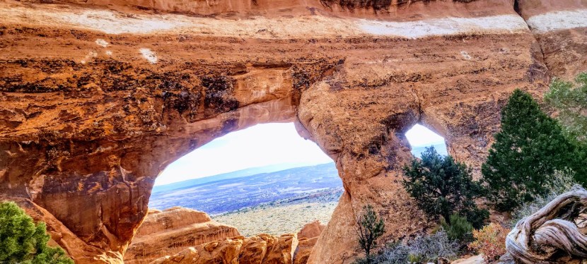
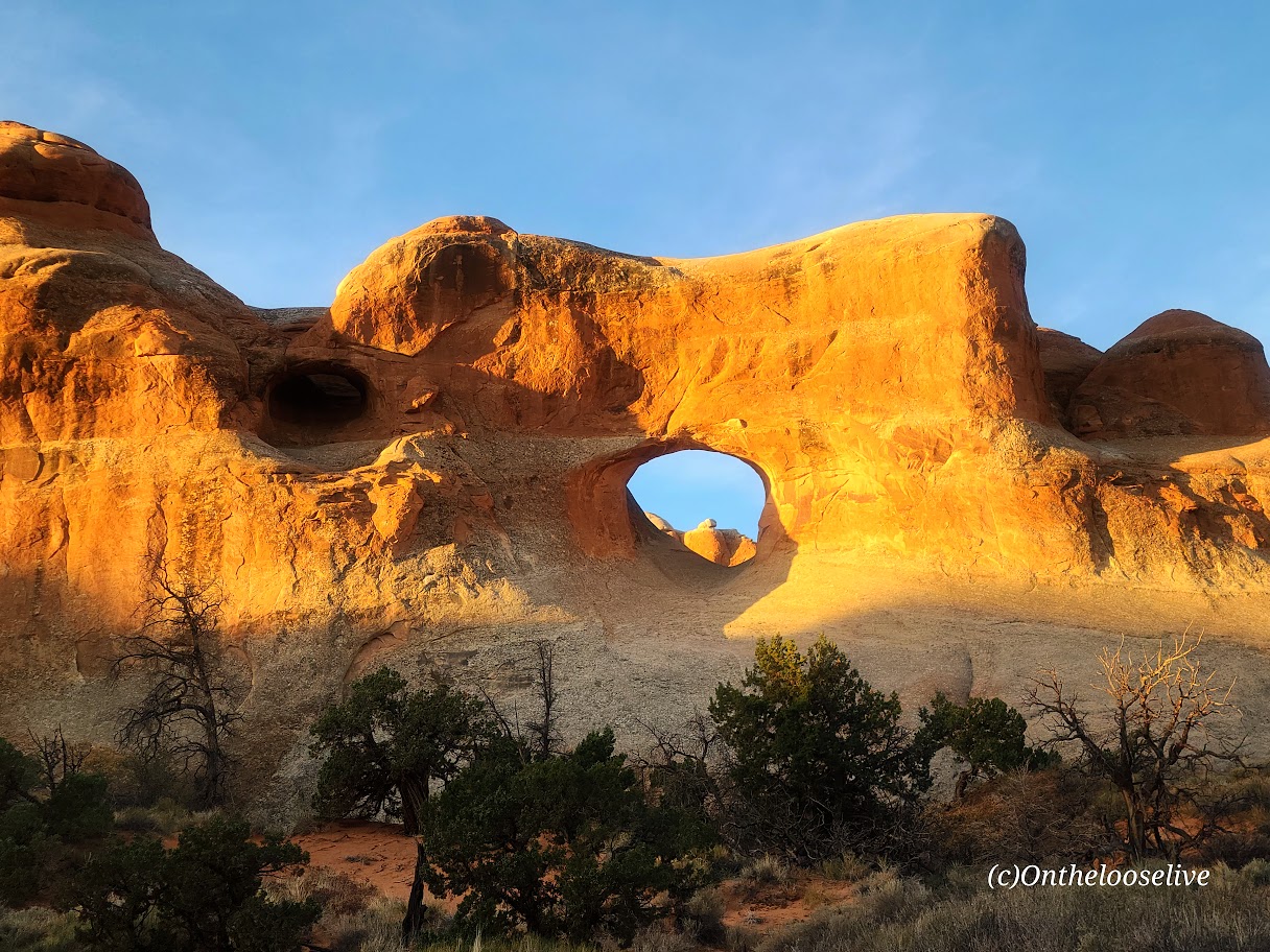
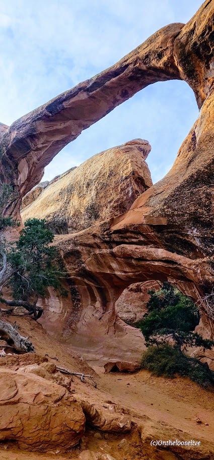
This hike will take you on a fun tour of 9 of the 2,000 arches in Arches National Park, including Landscape Arch, which is the longest arch in the world. So many arches so little time! The good news is in this park, no matter how short on time or energy you may be, there’s always an arch to see from the road or just a few steps away.

The first 2-miles of the Devil’s Garden Loop or so is on an easy wide gravel trail. (There are 3 arches in the first couple of miles, Tunnel Arch, Pine Tree Arch, and Landscape Arch. Beyond that the trail gets more interesting as it branches into a loop and takes you up a mild scramble to a slick rock traverse. While the trail is relatively well marked by cairns, there are a few tricky spots along the slick rock traverses. If you’re used to hiking across our rugged Utah topography, you won’t blink. If you take the loop counter clockwise, you’ll see all the arches at the beginning and middle of the hike. Word to the wise, we ran into a couple of people who were lost even though they were following their downloaded AllTrails map.

If you’re short on time or energy, the imposing Dark Angel rock formation can be seen and photographed best (IMO) from the distance from Double-O Arch area so you can skip the offshoot trail to it and shave about a mile off the hike’s total distance. (I took a picture up close that didn’t even make my final cut. )

On the other hand, if you have extra time and energy, you can drive down the road and add on a 3-mile loop hike to Sand Dune Arch, Broken Arch, and Tapestry Arch. (Sand Dune Arch is only a half mile total distance, add Broken Arch for 1.5 miles, and Tapestry Arch for ~3 miles.)

If you go, let me know which arches were your favorites!

Happy Trails!

Lovely Lake Blanche, Twin Peaks Wilderness Area, Salt Lake County, UT

Distance: ~7 Miles

Elevation Gain: ~2,800 FT (Evenly distributed across the 3.5 miles.)

Difficulty: Moderate +/-, depending upon your fitness level

Known as one of the best hikes in the Twin Peaks Wilderness Area, Lovely Lake Blanche, with its dramatic granite spire backdrop (Sundial Peak), has an allure of its own. Hence, its well-documented, high-profile social media status and popularity.

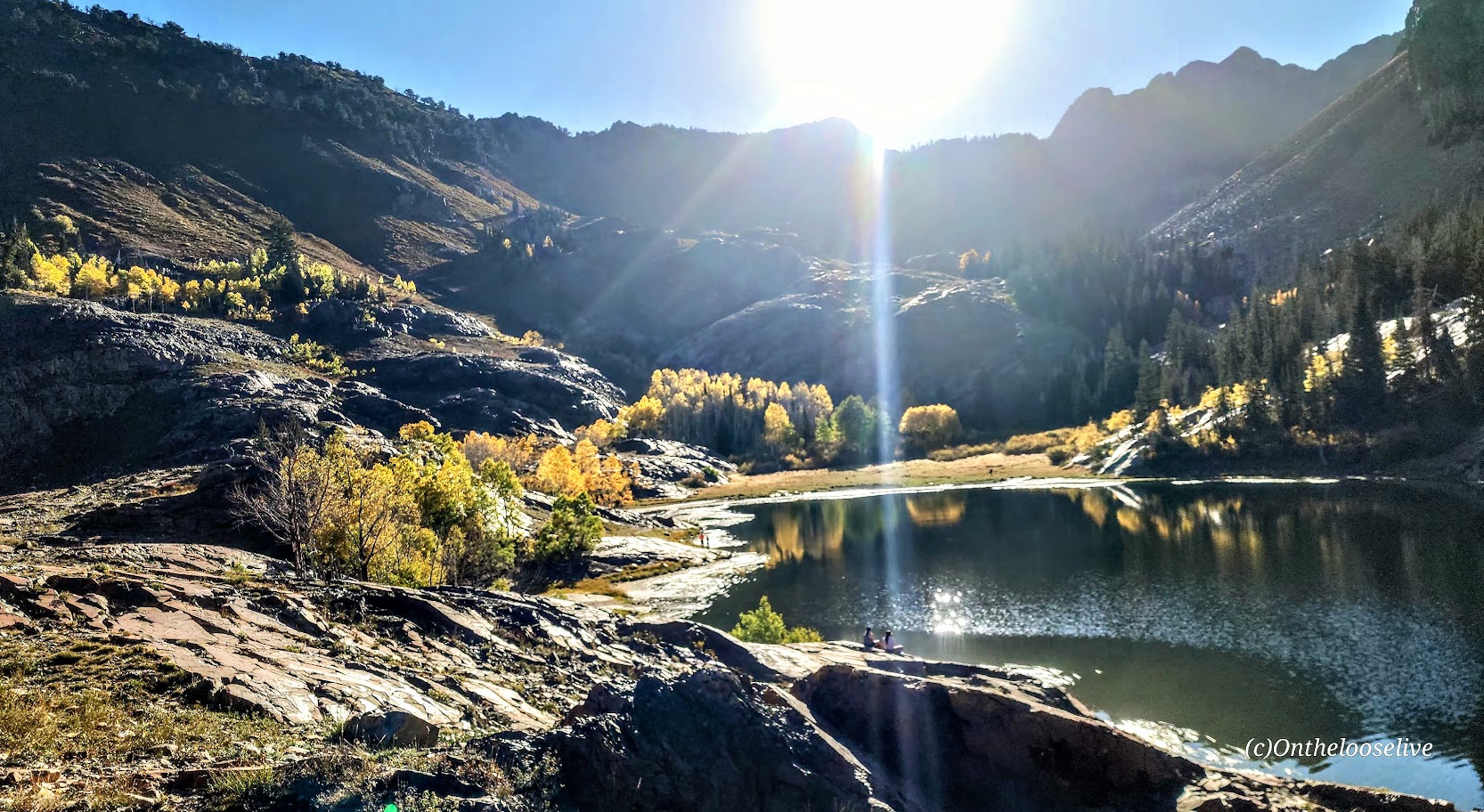
Begin your hike along the rushing creek on your left and make your first right onto the Lake Blanche Trail. The climb is gradual and consistent, with colorful foliage (in the Fall) and peak-a-boo, foreshadowing views of Sundial Peak up ahead and down the canyon to the Great Salt Lake Valley to the West. I kept waiting for the climb to get steeper as I’d read reports that this hike was “challenging.” Perhaps I was just transfixed by the scenery, as you’ll see why.

Lake Blanche and its smaller sister lakes, Florence and Lillian, sit at 8,888 feet. The lakes were a bit low but still high on the beauty scale. While it’s a popular hike, there’s plenty of room to find your zen once you reach the lakes. Just keep strolling past Lake Blanche, where most people seem to congregate.

There’s an off-trail hike up Sundial Peak; I’ll have to try it next. Unfortunately, I didn’t have time this time.

I revisited in late July and just missed the wildflowers! Must go earlier next year. This time, I was running short on daylight, so off-trail exploration is still to come.

Directions: Take Big Cottonwood Canyon Road to the Mill B South Fork Trailhead. The parking lot fills FAST as in FULL at 7 AM on a Saturday.) Parking is allowed along the road, but that fills quickly, too!

Notes: Unfortunately, dogs and swimming aren’t allowed due to the area being a protected watershed.

Happy Trails!