Difficulty: Easy +, traverses slickrock, so shoes with good tread are recommended
Distance: 2.7 miles
Elevation gain: 423 ft
I’m guilty of only posting longer, more adventurous hikes, so here’s an easy St. George shortie that’s long on panoramic views.
If you only have time for a short hike in St. George, Owen’s Loop is one you might consider, especially for a sunset hike. While rated easy, this popular hike is an excellent introduction to Southwestern Utah’s varied, rugged terrain. You’ll be traversing red slick rock, white sandstone, and lava rock, so you may find yourself paying more attention to your footing and to the trail itself than usual. Even the “easy”, suburban hikes here have some elements of adventure. If you lose track of the “camouflaged” trail, don’t worry, the hike follows the rim across and back, and you’ll soon encounter footsteps or wheel tracks to get you back on track.
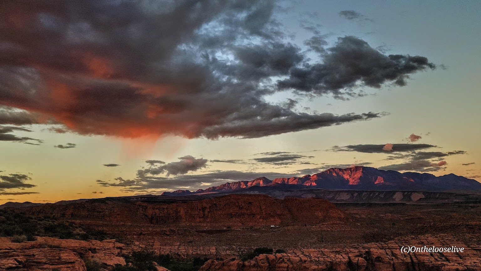
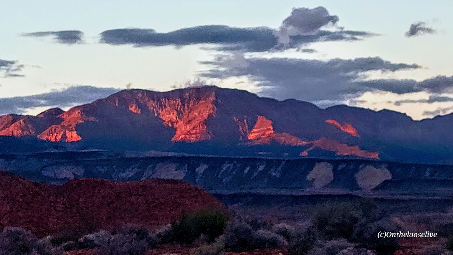
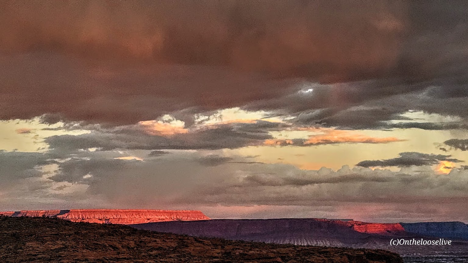
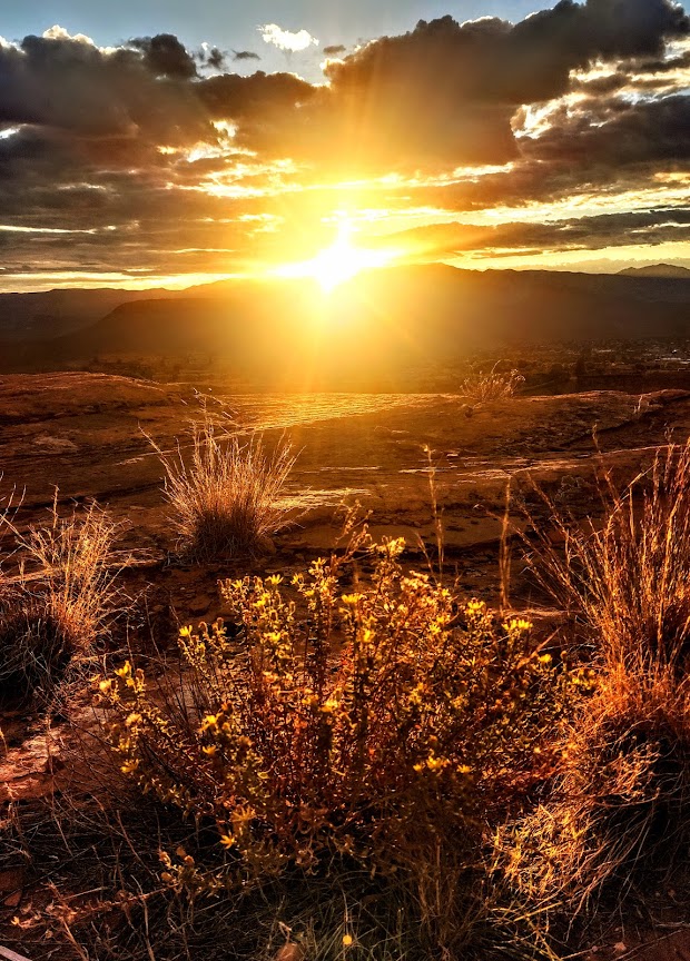
The sweeping 360-degree views from the Beaver Dam Mountains to Pine Valley Mountain, and even out to Zion, are especially breathtaking when blessed with one of our magnificent Southwestern Utah Sunsets. Plan to finish the hike before dark if you don’t have lights, but consider remaining on the ridge as night descends to watch the city lights sparkle below.


If you’re up for more mileage, there are options to add on with the City Creek Trail, or across the way at Pioneer Park. Visit the Red Cliff Desert Reserve website for current info on this and other local hikes.
Note: “Loop” is a bit of a misnomer as the loop part is a tiny lollipop at the far end of the trail overlooking the public Dixie Red Hills Golf Course and the Elk’s Club below. This trail is more of an out-and-back.
Getting there: Parking for the trailhead is at Brooks Nature Park, 452 North Main St., St. George. You can also park at the Pioneer Park trailhead and walk across the street. (Use the crosswalk or the underpass.)