If you hike around Prescott, you’ll notice that they name and number their trails, which is nice. The only problem you may encounter is when a local gives you a hiking tip by the number only and happens to be off a digit or two. Could be the Prescott way of telling you to “Go take a hike.”
Anyway, I found the high-country trail that leads up Spruce Mountain, which isn’t hard to find if you know the trail’s name and number. It’s the Groom Creek Loop Trail #307. Some (Prescott National Forest Service peeps) say that it’s “one of the most attractive trails in the Prescott National Forest. Despite the misleading moniker, there are no Spruce trees on the trail to Spruce Mountain, but that’s okay—it’s a lovely shady trek through Ponderosa pine, Gambel oak and Douglass fir. I chose the trail to the left as it was a hot day and this side of the loop is pleasantly shaded. On a cooler day, I’d go for the loop. Perhaps start with the opposite, more exposed side (on the right) and come down the shady side as it gets later in the day.

The trail begins with a gradual climb and easy terrain, ramping up to a steady climb with rockier and rootier terrain near the top. You definitely have an opportunity to get your heart rate up if you’re so inclined (pun intended). The trail is runnable—the deer I startled on the way up concurs.

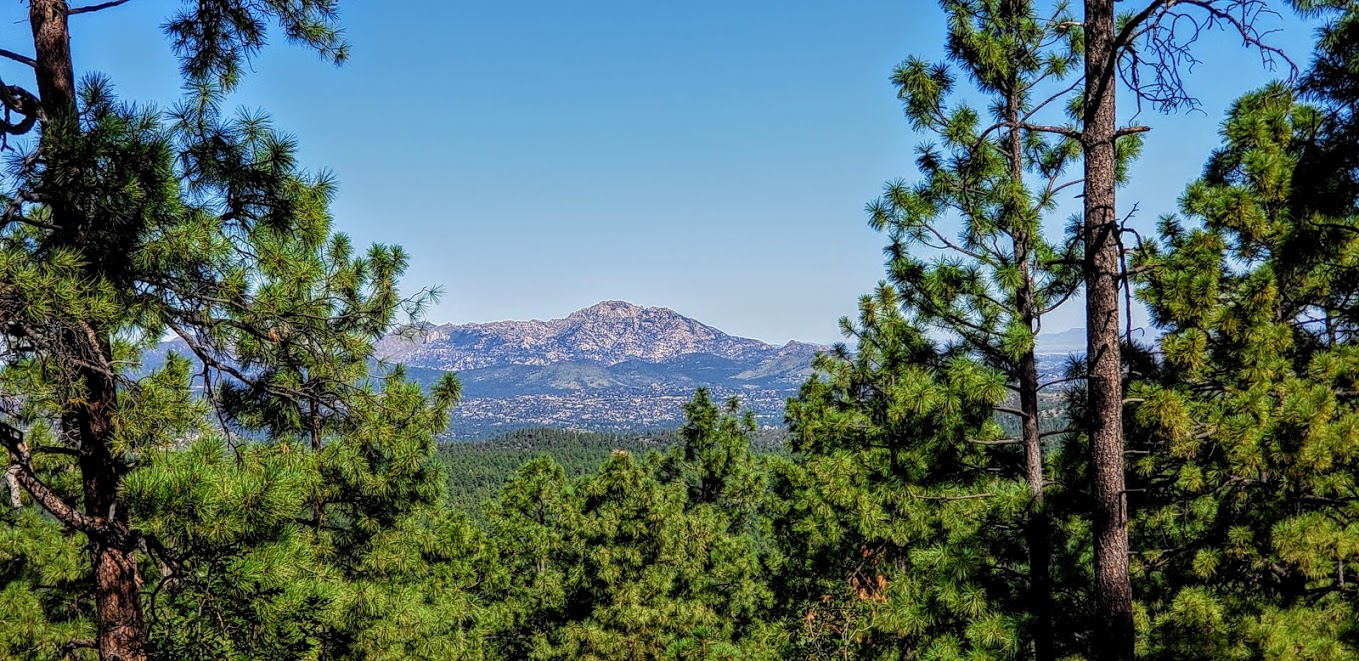
On top, you’ll find a picnic area with an outhouse and a fire lookout tower. If the lookout-in residence is accepting visitors, you might just be lucky enough to soak in the panoramic views of Prescott’s lakes and forest from the tower’s vantage point as I did.


Distance: ~6.5 miles, if you do the loop it’s ~8 miles

Elevation gain/ loss: ~1,400 ft (starting elevation is about 6300 feet and the top is 7693 ft)
Getting there: ~15 min drive from Prescott, AZ: Take Mt. Vernon Avenue south for 6.4 miles. It becomes Senator Highway and passes through the small community of Groom Creek. Look for the trailhead on the left side of the road.
Notes: Free parking. MT Bikes & Dogs allowed.
Stay tuned for my top picks of places to stay and eat and for more of my active escapades in and around Prescott.
Hiking:
Mountain Biking:
Prescott Valley to Prescott via the Iron King & Peavine Trails
Restaurants: