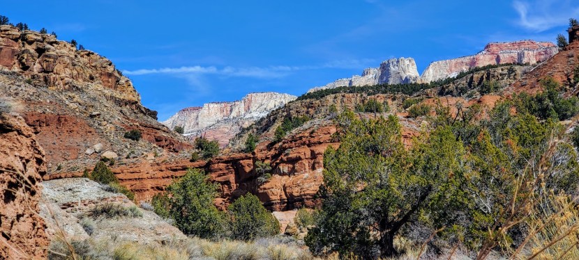
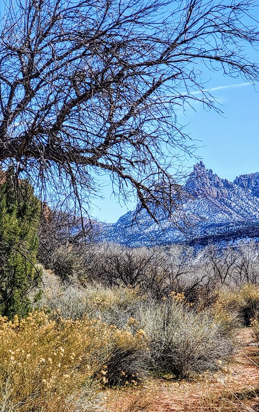
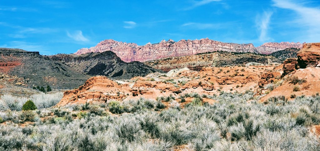
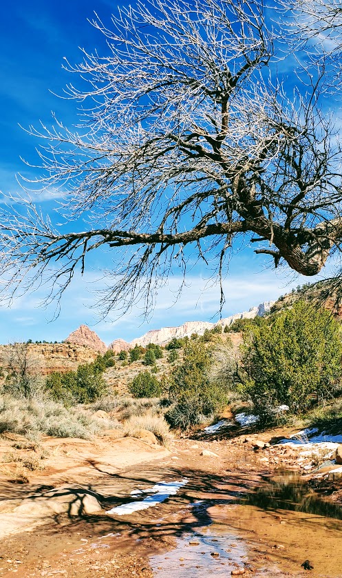
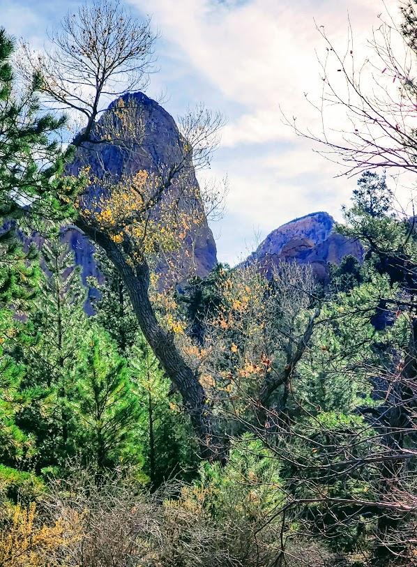
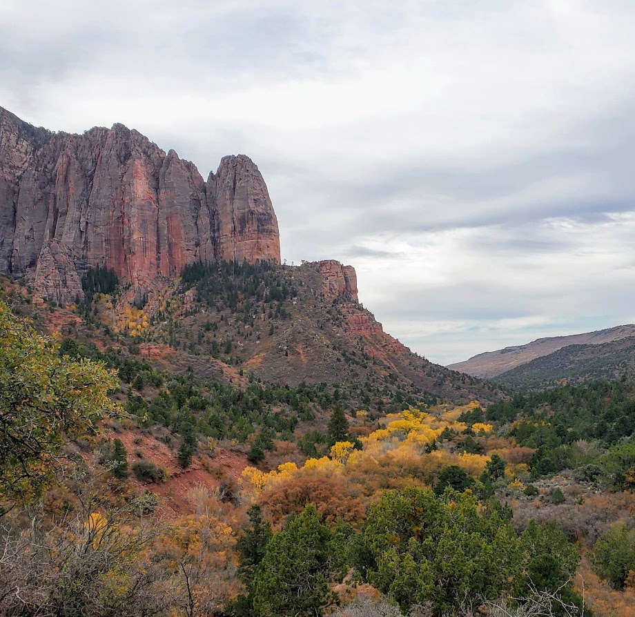
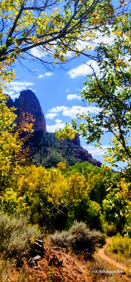
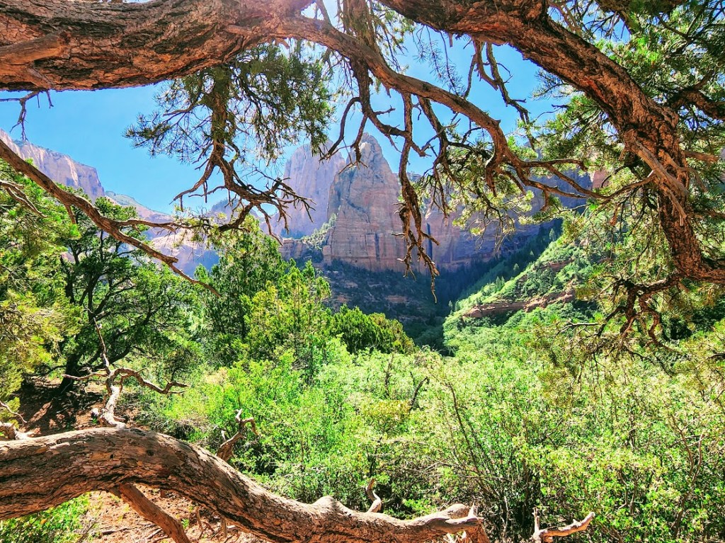
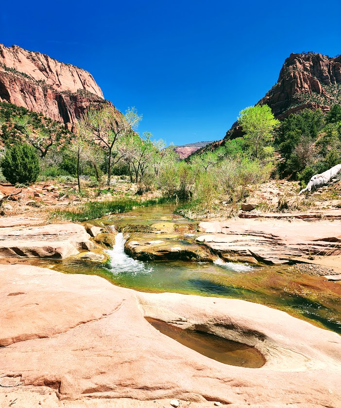
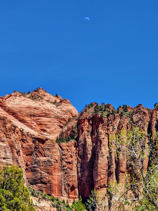
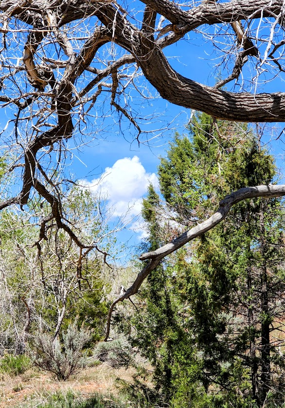
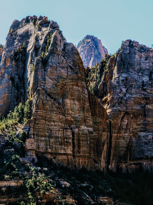
Anything but the pits, this delightful little hike in Zion Wilderness delivers nature’s solace from the crowds and the concrete. The pinyon pine and juniper tree-lined trail meanders through the open low desert drawing you in along the babbling creek and slowly revealing dazzling views of West Temple and Mt. Kinesava. The trail was named Coalpits because of the dark volcanic boulders that cover the hills to the west. The Wash is the primary drainage for the southern desert section of Zion National Park.
Notes: No dogs. Muddy area after rain or snow. There’s are options to connect to other trails (Chenile Trail, Scoggins). More on this later when I make those connections.
Getting there: UT-9 E/W 500 N – Keep your eyes open for the roadside sign and pullout. No overnight parking.
Difficulty: Easy, mostly flat, soft surface, and obvious trail with soem stream crossings.
Length: 5.8 Miles RT
Elevation gain: ~700ft
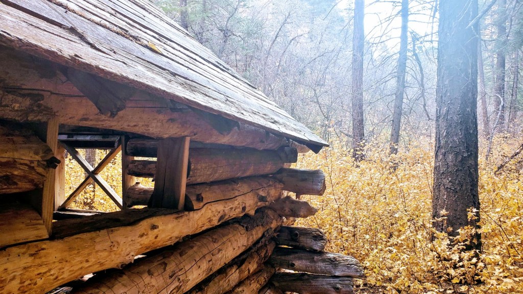
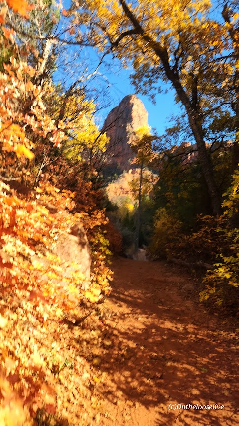
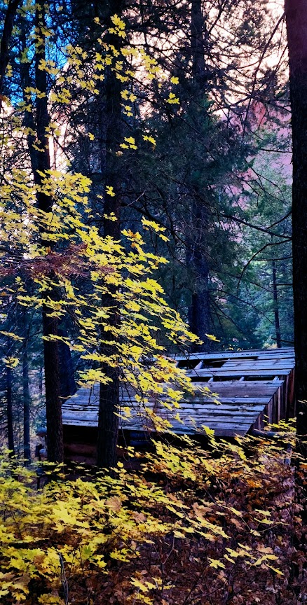
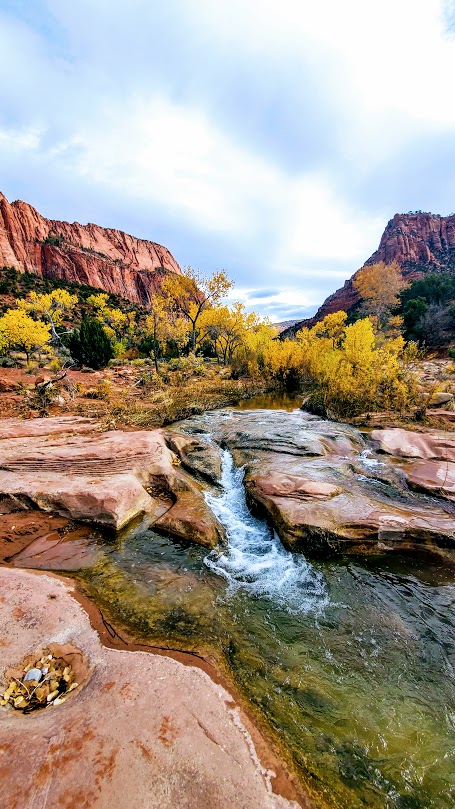
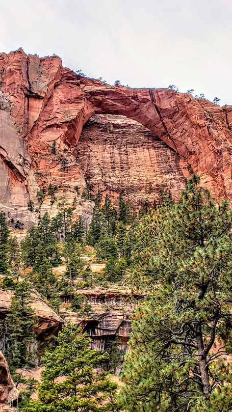
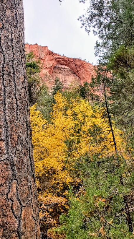
This lovely, woodsy hike in Kolob Canyon features a creek, 2 historical cabins, and a double, closed “arch”, and a seasonal micro slot waterfall. (For an open arch hike head up the road to the Kolob Arch Trail.)
The first cabin you’ll encounter on this hike is the Larson Cabin, the second is the Fife Cabin—both were built by homesteaders around 1930.
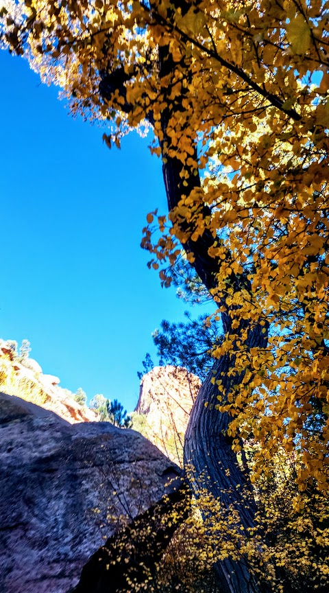
Especially enchanting in the Fall, this hike is a treat any time of year.
Notes: This is mountain lion territory. You may see tracks. Hike aware and keep small children near you. Since this is an easy, beautiful hike, it’s quite popular. Go early to enjoy more solitude.
Getting there: Exit 40 on I-15. This is the Kolob side of Zion National Park, so you’ll need to check in at the office with your National Park Pass or pay the entrance fee. Follow the scenic drive to the Taylor Creek parking area on the left.
Difficulty: Moderate to strenuous depending on your fitness level, definitely a little longer than your standard day hike, mostly smooth, sandy terrain, great for trail running
The trail begins at the Lee Pass Trailhead off of Kolob Canyon Road / Scenic Drive. You’ll drop quickly into the canyon (770 ft in .75 mile) and traverse through the forest on a gentle, sandy path for the first 4 miles or so.
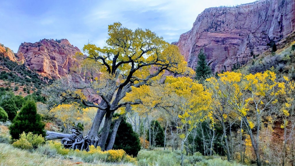
And then it gets even better. Zion vibes without the Zion crowds. After descending another 1k ft, you find yourself surrounded by dancing aspens and majestic red cliffs. This is where you’ll get your first glimpse of lovely La Verkin Creek. Oh, my—a perfect spot to pause and take in all the beauty. I’ll be back just for it. Fall is a splendid time for this hike, but I’m sure spring and early summer are delightful as well.
Continue following the trail along the creek another mile or so until you reach the junction for Kolob Arch. This trail is less distinct and a little more rugged. The distant view of the arch (possibly the largest free-standing arch in North America) is ok, but wow factor is a bit muted without a blue sky backdrop.)
You can continue up the canyon to Beartrap Canyon and Willis Canyon or head out to Holob Canyon and Kolob Terrace Road.
There are 13 camping sites along the trail. Reservations are required and can be made online, but 2 backpackers I met on the trail told me that they were able to get their pass the same day.
Notes: Sadly, toxic cyanobacteria have been detected in La Verkin Creek. No dogs are allowed in Zion Wilderness (a good thing as dogs have been known to die within minutes of exposure to the cyanobacteria). Bring plenty of water as you can not filter water with cyanobacteria.
Happy Trails!
Revisited the trail recently to see La Verkin Creek show off her Spring look. She did not disappoint.
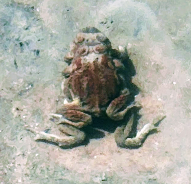
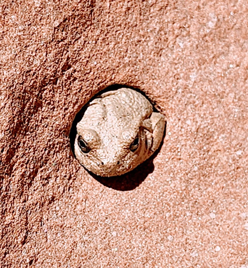
Funny wildlife encounter story. Well, it’s not funny if you’re the frogs or me. While I was “Wim Hoffing” it in the creek (careful not to submerge my head), I sat on 2 frogs in the midst of a tryst. Unfortunately, it would be their final, though eternal, encounter. (Gives new meaning to “happy ending”, doesn’t it?) In the meantime, as I was exiting the delightful natural pool, I almost grabbed onto a snake. There’s bound to be one in paradise, right? Notes to self, look before sitting and before placing a handhold. The harmless snake was lying in wait for the plentiful frogs. Little did he know that I’d arranged a 2 for 1 for him. Back on shore, a frog eyed and ID’d me as the culprit.
Other than that, the play/day was uneventful and beautiful. And, yes I still feel guilty about the frogs.
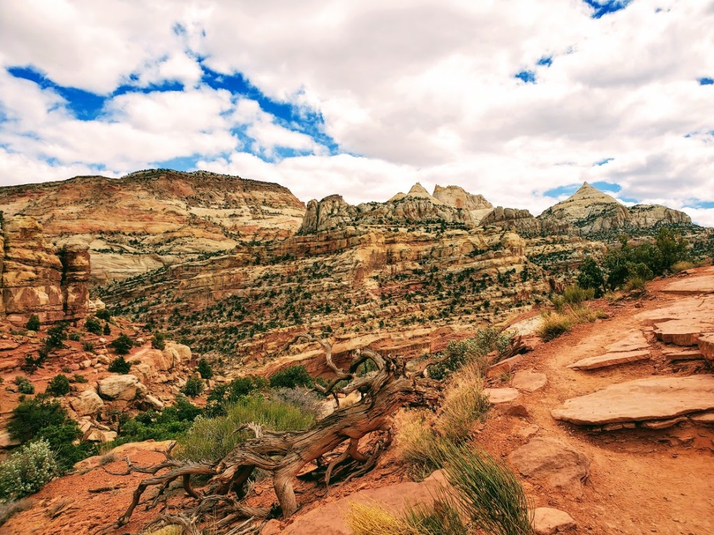
When you have limited time, it’s always difficult to decide which hike to do. This was my dilemma on a recent trip to Capitol Reef National Park. Bottom line, you can’t really go wrong—any choice is a good choice when your surrounded the striking red, white and golden sandstone landscape, canyons and rock formations of Southern Utah. My 10 mile sampler included Cassidy Arch, a taste of Frying Pan, and Grand Wash.
Cassidy Arch
Length: ~3 mi RT (out & back)
Elevation gain:666 ft
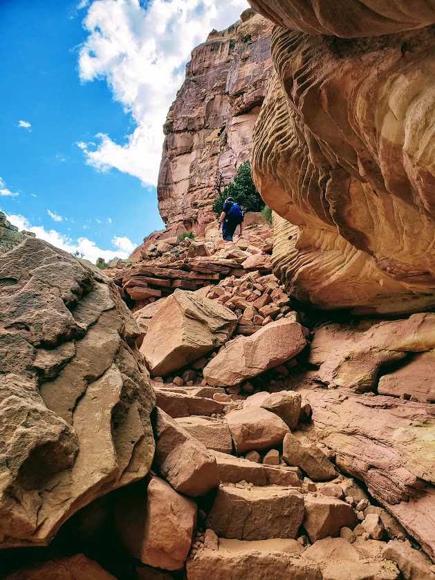
Difficulty:Moderate depending on your level of fitness, and comfort with hiking rocky terrain
From Cassidy Arch, you can extend your hike by following the signs for Frying Pan Trail, and trek over the Fold—turning back and retracing your steps, or continuing down into Cohab Canyon.
Grand Wash
Length: ~6 mi RT
Difficulty: Easy, flat
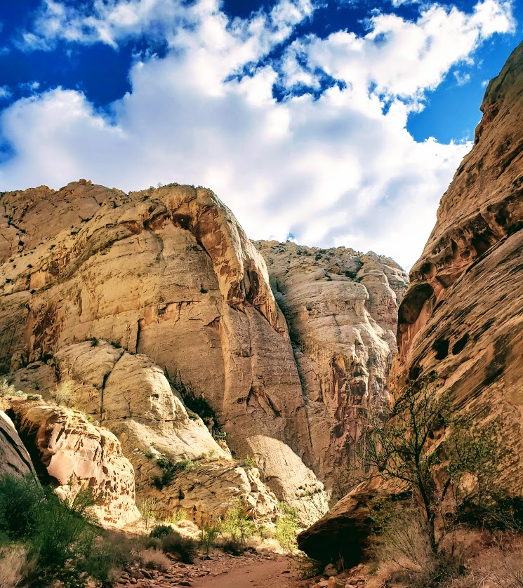
The Grand Wash trail follows the gorge as it carves its way through the upper portion of the Waterpocket Fold and connects through to Highway 24 just east of Spring Canyon. At the narrow, the rock walls close in, a half mile of slot canyon vibes – a thrill for those who’ve never experienced a slot canyon.
Post to come on where to feast and luxuriate after your day of hiking.
Route: Grand Canyon Lodge to Cape Royal and Imperial Point
Mileage:~52
Elevation gain: ~3,950ft of climbing at an elevation around ~8000ft
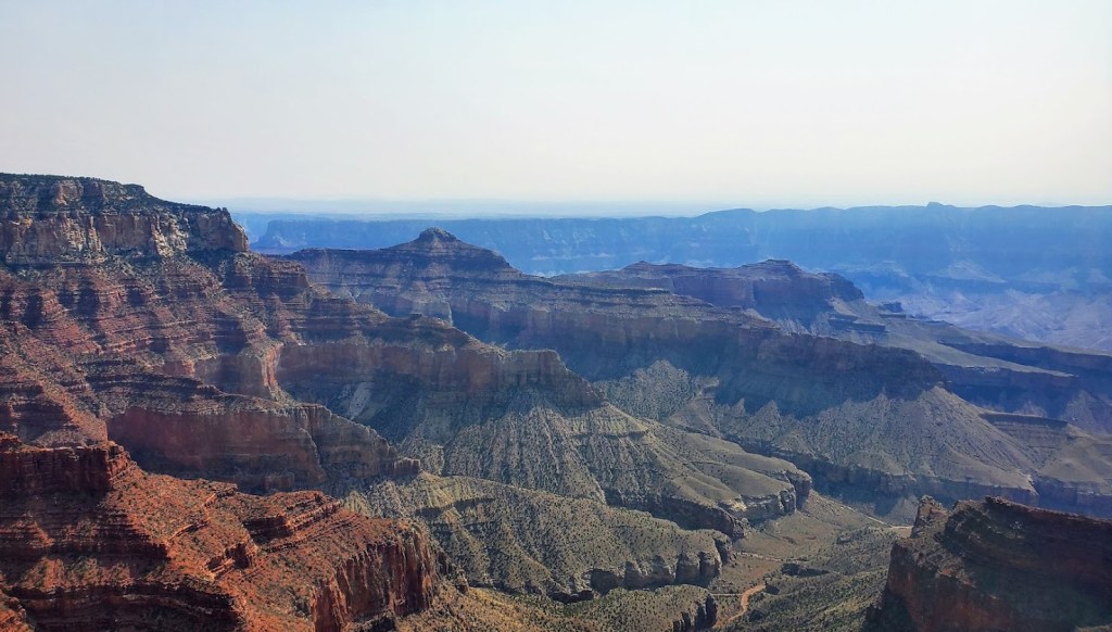
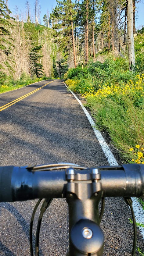
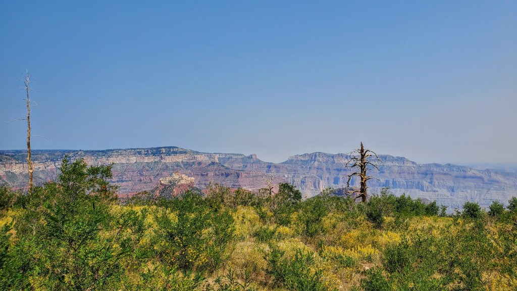
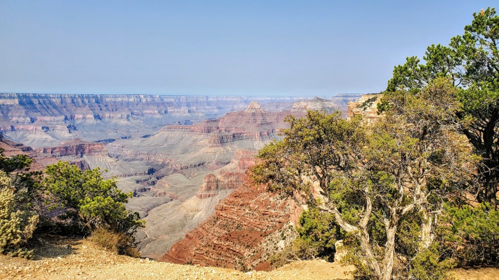
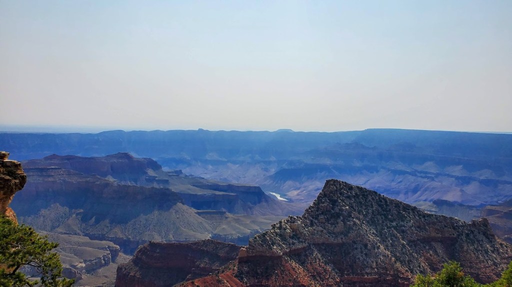
The road sign for Cape Royal says narrow and windy, not recommended for campers so there are no campers on it and very few cars, especially if you get an early start. I defaulted to my gravel bike as I feel a little more secure on it, should I need to suddenly swerve off road. While there isn’t much, if any, of a shoulder most of the time, I felt safe. A road bike would be perfectly fine and a bit faster. Inn my opinon, Cape Royal offers the most dramatic views even though Imperial Point is the highest lookout at 8,800ft. Also, for some reason, the sky was much clearer at Cape Royal. Consider packing some goodies and having your snack at Cape Royal. I was lucky enough to hit it in full wildflower bloom. (My pictures just hint at the incredible views!)
Happy Cycling!
Route: Grand Canyon Lodge to Jacob’s Lake
Mileage: ~41 (1 way)
Elevation gain: ~1,700
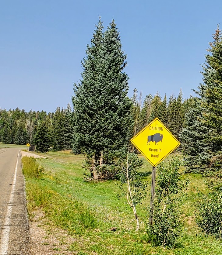
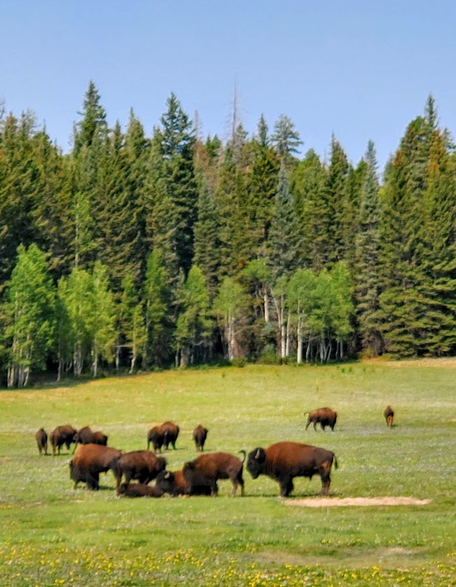
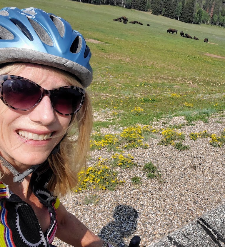
A great second day ride in the North Rim, heading back out the park to Jacob’s Lake. Perhaps you have some noncyclist friends who would opt for picking you up in Jacob’s Lake on the way home, or perhaps you’d like to double your mileage for an out and back? Have lunch in Jacob’s Lake and climb back to the rim? Whatever your pleasure, it will be a pleasure. The scenery is lovely to enjoy from a secure shoulder. Some, but not much car traffic, makes for a serene ride. Bison traffic may be a factor if you’re lucky. Keep a safe distance – they can charge 35 mph, (jump 6ft high), and I’ve heard they have a “thing” for bikers. (Recalling my cross-Catalina ride bison encounter.)
Since the North Rim of the Grand Canyon only receives 10% the visitation of the South Rim, it’s quite peaceful with minimal car traffic. Got to love it!