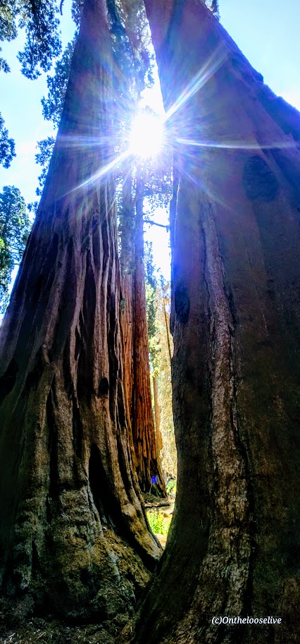
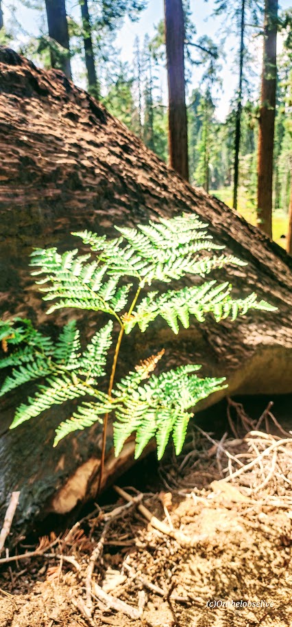
Visiting the Forest of the Giants is an awe-inspiring experience. It has to be the ultimate forest bathing destination on the planet. The ancient, colossal, towering Sequoias will fill you with a sense of wonder and quiet reverence. Since it’s a National Park, you can expect to share the experience with many others. But don’t let that deter you—a network of enchanting, less-traveled trails extends beyond the main viewing areas. Once you wander past the beaten (paved) path, you’ll leave the crowds behind and discover soft, winding trails that weave through fern-laced glades and alongside serene meadows, with each step taking you deeper into the heart of this magnificent forest.
If I ever return, I’ll aim for a sunrise visit or perhaps a backpacking trip. I imagine that those moments in the early light, when the forest is just beginning to stir, would be the best way to connect with this sacred place.
Sequoia facts:
Only grow on the western slopes of the California Sierra Nevada Mountain range, as they require a specific climate: moderate winters, minimal rain, moist-well-drained soil, and moderate temperatures overall. (Attempts to grow them elsewhere have failed.)
Rely on natural cycles of fire to open cones and prepare the soil for seedlings.
Have exceptionally thick (up to 3 ft thick), spongy, fire-resistant bark that’s rich in tannins, providing a natural shield against wildfires and insect infestations. Their high branches (up to 8 ft wide) stay out of reach of most fires. (We saw many trees with fire/lightning damage that were still living.)
Require water from snow melt, which they absorb through their shallow, wide root systems that are only ~5 ft below the surface.
Grow up to 300 ft high and live for 3,000 years!
Are an endangered species due to the threat of droughts and more intense wildfires.
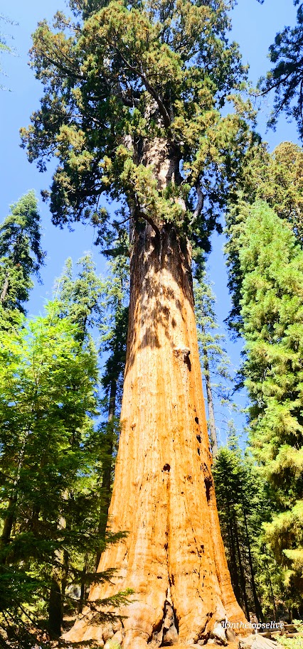
General Sherman Tree – The largest living single-stem tree on Earth! (Can’t capture the scale with a picture.)
Height: 275 ft Weight: 4.1 million lbs Circumference: 101+ ft Age: ~2,700 years old
Castle Lake to Heart Lake, Shasta-Trinity National Forest, Mt. Shasta City, CA
Distance: <2.5 RT
Elevation Gain: ~680 ft
Difficulty: Easy to moderate, depending on your fitness level and sensitivity to altitude (5k-6k ft)
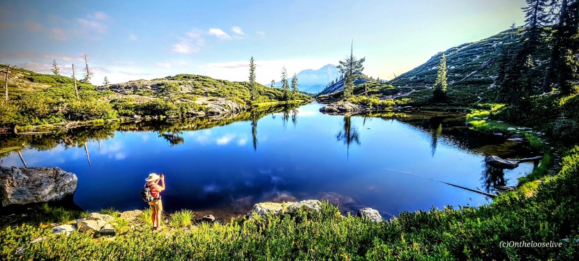
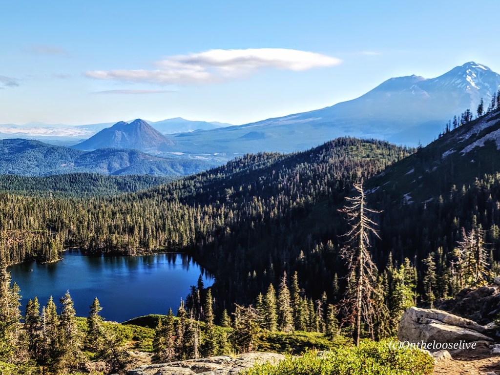
I discovered another gem of a hike in the Shasta-Trinity National Forest, some have called it one of the premier hikes in the region. I guess I know how to pick them. It’s easy on effort and short on distance, but long on rewards. Especially if you’re into alpine lakes, reflection shots, and great views of Mt. Shasta, Black Butte, and Mount McLoughlin.
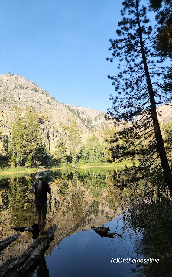
The single-track trail winds through a few rocky stretches, gradually climbing to captivating Heart Lake at an elevation of 6,050 ft, where you’ll be dazzled by the reflections.
If you have more time than I did, you can take dip in any of the lakes, hike the spur trail to Little Castle Lake (add 2 miles RT and a steep 250 ft climb) or continue to Mount Bradley (add 8 miles RT).
(I had less than 2 hours to sneak in a hike before dashing to the airport, so I wanted to make the most of it. Mission accomplished with this lovely hike that I paired with the super shortie hike just down the road on the way back to town—enchanting Faery Falls.)
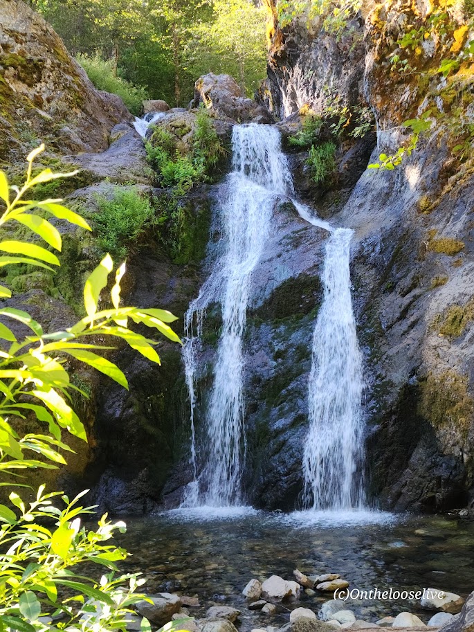
Sometimes enchantment is just a short stroll away, as is the case with Faery Falls. Nestled in the Shasta-Trinity National Forest, Faery Falls is an easily accessible, enchanting waterfall that drops about 50 feet into a small pool. The short, easy hike on a dirt road above Ney Springs Creek passes a few stone remnants of the fountain from the old Ney Springs Resort. Watch for the single-track drop-in trail to the waterfall on the left at .8 mile. Some have described this final section as difficult – in adverse conditions such as mud, snow, or ice, it could be. In dry conditions with appropriate shoes, it’s no problem.
The falls area is small and enclosed by rocks and trees. It can become crowded quickly. Especially important to go early on a weekday if you want your best chance of solitude. Luckily, I was there early and had it to myself.
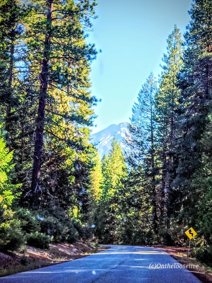
Views of Mt. Shasta on the way to the trail. Not sure what the rooster was doing there. Perhaps a pet from the VW double bus?
Notes: The Faery Falls “Trail” is the dirt road to the right of the large parking lot. Parking is free! This hike is easy to combine with the Castle Lake Trail to Heart Lake and beyond. (Post to come!)
Trailhead address: Ney Springs Road, Mount Shasta, CA 96067 Trailhead coordinates: 41.265953, -122.32439 (41° 15′ 57.43″N 122° 19′ 27.80″W)
Pro tip: Stop at Theory Coffee in Mt. Shasta City on the way in or out. They served me the BEST post-hike brioche breakfast sandwich I’ve ever had! It’s a bakery too, with incredible delights on display. (Didn’t get a shot of them as I was too busy drooling!)
The Shadow to the Minaret (Agnew Meadows to Devil’s Postpile) route packs so much breathtaking beauty into a challenging 17-mile hike. Backpacking might be the best way to experience it, or you can choose a waterfall or any of the 7 amazing alpine lakes (Olaine, Shadow, Ediza, Iceberg, Cecile, Minaret, and Johnston) along the way as your destination for a shorter out-and-back hike. I wanted to see as much as I could in the limited time I had in the area, so I did it as a day hike.
Miles: 17, or create your own out-and-back adventure (~7 miles RT to enchanting Ediza Lake with only 400 feet elevation is an excellent option for a shorter day hike and is popular for good reason ).
Elevation gain: ~2,529
Difficulty: Hard/Challenging, especially for a day hike
From Agnew Meadows, you’ll encounter Olaine Lake first, then the gorgeous tiered Shadow Creek Falls, Shadow Lake, and dazzling Ediza Lake.
Enchanting Ediza Lake
Take the trail above Ediza Lake for a glimpse of dramatic Iceberg Lake.
From there, if you wish to venture beyond, you’ll have to climb/scramble the rugged loose scree and talus cliffs to reach Cecile Lake.
Note that I wouldn’t recommend attempting this if snow is present. There’s an argument if you’ve come this far to keep going. You’ll need to boulder hop for a half mile or so around Cecile to get to the slippery, rugged drop into Minaret Lake.
Scaling Iceberg’s cliffs, boulder hopping around Cecile, and “sliding down” the loose sandy “trail” into Minaret can be quite time-consuming despite these sections’ short distances. (Some AllTrails hikers reported it taking 2 hours for these miles 9 & 10 .) I made it up Iceberg in 20 minutes or so, but I am accustomed to scaling rugged, steep landscape. The boulder hopping around Cecile Lake was slow going for me, and the slide down into Minaret was even slower as my knees did not appreciate the vertical angle.
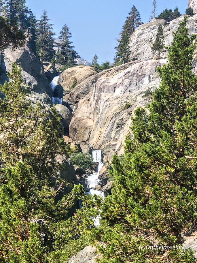
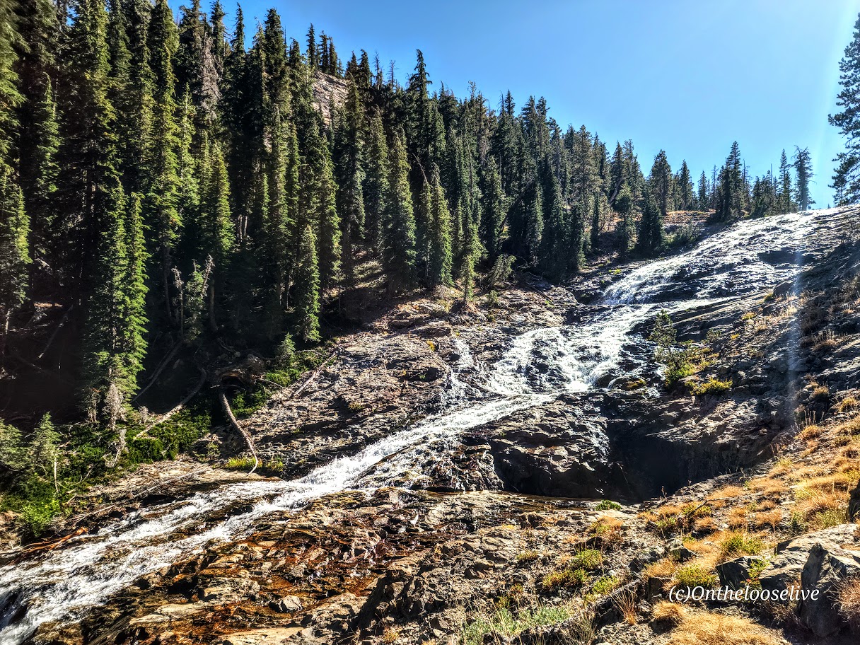
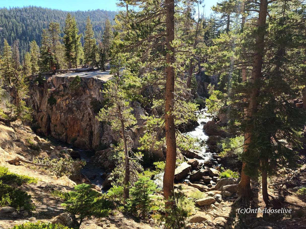
From Minaret to Devil’s Postpile, it’s all downhill with some rocky sections. Highlights include a wonderful, wide, terraced waterfall, and close to the end, a cool canyon area with a stream going through it, and finally, Johnston Lake.
Notes:
Get to the Agnew Meadows trailhead before 7am for self-drive and parking, or take the shuttle.
Equipment: Would poles have helped on the descent to Minaret? I’m not sure. Personally, I prefer to have my hands free. Prophylactically for me, knee braces would have been a good call, but not needed until the Minaret descent. If you’re going over 12 miles, I’d recommend hiking shoes. Much as I love hiking in light trail runners, my feet were beaten up/done at the end of this 17-mile day.
Was it worth it? ABSOLUTELY! I hope you can see why.
Rats, all the scenery is too “grand” to fit in the featured photo. Please excuse the rough edit.
My route: Up the Big Pine Lakes North Fork Trail (Lakes 1-7 with the spur to Summit Lake), and down via the Black Lake Trail
Length: ~15.5 Miles
Elevation Gain: 3,986 ft
Difficulty: Depends on your fitness level and how far you go; while the elevation gain is gradual, it is significant, constant, and at altitude.
Trail Quality: Excellent, trail runnable! Well-marked and easy to follow!
This trail was a long unrequited love of mine. While I initially explored the area on two occasions decades ago, I never made it to all 1-7 numbered Lakes and Summit Lake and Black Lake until now. I fell in love all over again. It was even more stunning than I remembered.
Take 1
My first ill-fated overnight trip to the Big Pine North Fork Trail resulted in my hiking companion Chip getting altitude sickness and us having to make a hasty retreat. (Of course, we’d done everything you’re not supposed to do – we drove up from sea level to the trailhead at 7,660, charged up the trail 4 miles (gaining ~2k+elevation) to set up the tent near stunning Lake 2 before dark. With no time to eat dinner, we’d munched on fresh rosemary bread on the way up. Once we had the tent up, Chip became violently ill, vomiting multiple times. Meanwhile, his dog Chatz was becoming agitated- hair standing up, growling – this is bear country. I remember worrying about an apple I had in the tent; at the time, I didn’t realize that Chip was creating a bear smorgasbord outside. As Chip became sicker, it became obvious we had to abort our overnighter. It was dire enough that we thought about leaving the tent behind. There were no other hikers or campers around. I wondered how I would manage if I needed to carry Chip down. I worried that Chatz was going to have a run-in with a bear. Luckily, we all made it down the trail safely. As for Chip, predictably, he began to feel slowly but progressively better on the descent and was almost 100% within an hour of driving down from the trailhead. Since then, he has had an aversion to rosemary bread and higher altitudes. Despite being concerned about Chip’s well-being as marched down the trail with our headlamps, I recall being transfixed by the stark, ragged granite peaks glistening in the moonlight, the silence, and stillness. I vowed to return.
Take 2
When I returned a decade or so later, no idea what took me so long, I came with a mountain biking buddy who wanted to charge up the trail to the Palisade Glacier (the largest glacier in the Eastern Sierra). The trail spur to reach the glacier is about a 1/2 mile beyond Third Lake. Given that we prioritized the Palisade Glacier as our day hike destination (19 miles with 4,646 ft of elevation gain) and didn’t get an early start, we barely had time to nod to the 3 spectacular lakes we “ran” by on the way up and down. (If you know me, you know I’m more of an alpine lake person than a glacier person.) Once again, I vowed to return to immerse myself in those lakes’ beauty.
Take 3
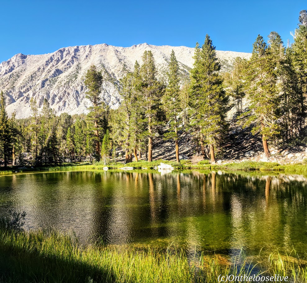
Over a decade later (again, I have no idea what took me so long), I returned with my hiking buddy and expert back-country guide, Colin, the most earnest person I know about getting the most out of every hike. And this was no exception. We hit EVERY numbered alpine lake (1-7) plus Summit Lake and Black Lake, with ample time to bliss out at each.
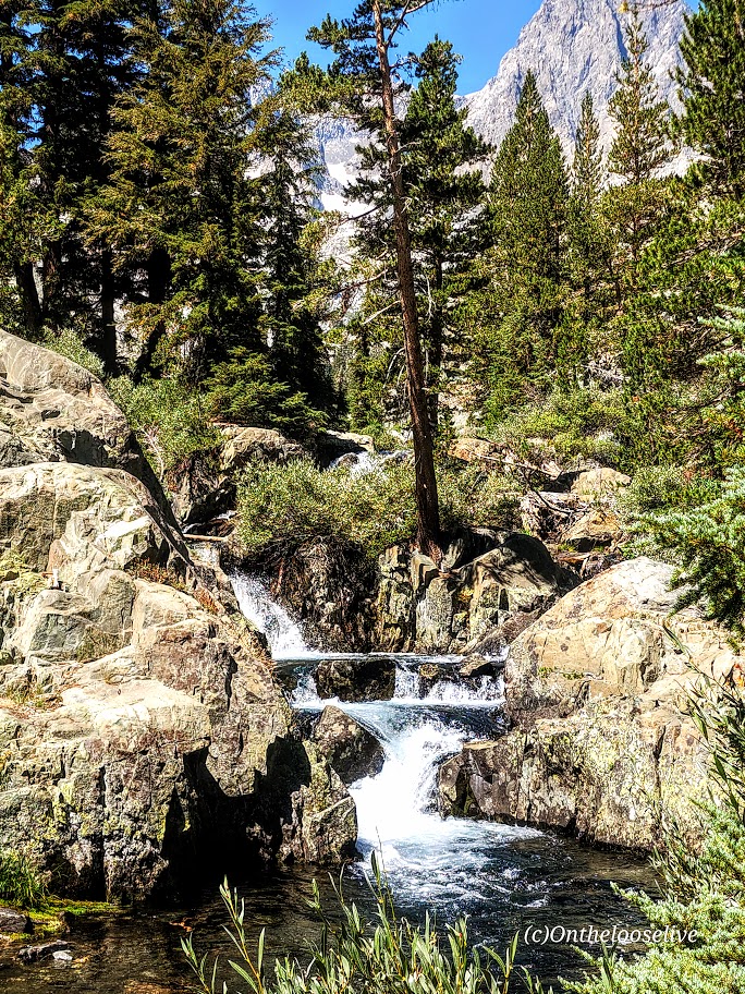
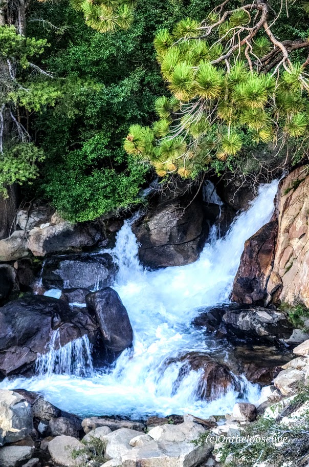
How had I forgotten about the mesmerizing trailside rushing rapids and waterfalls of Big Pine Creek? I’m guessing there must not have been much snowmelt when I went previously.
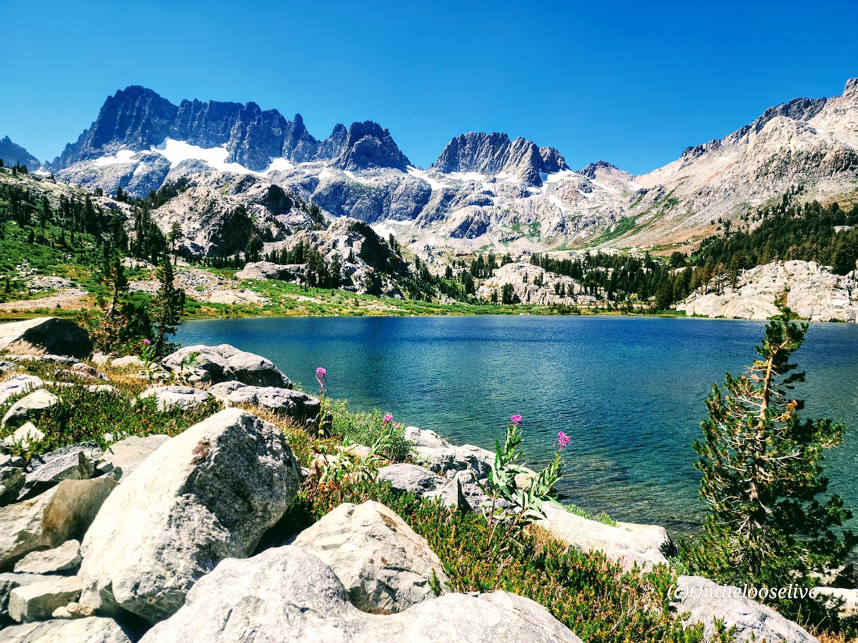
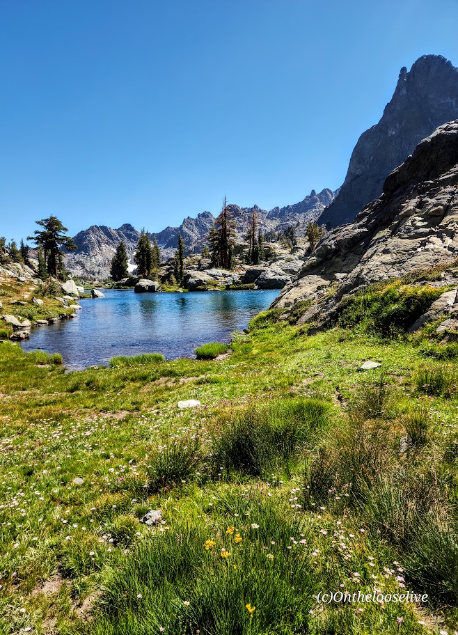
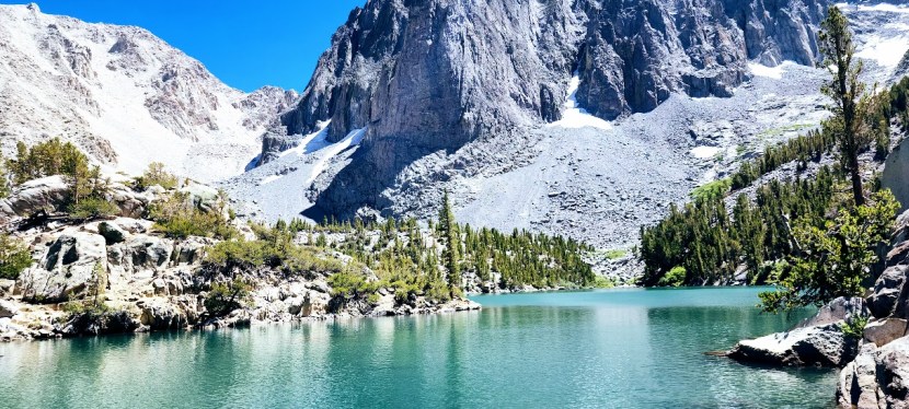
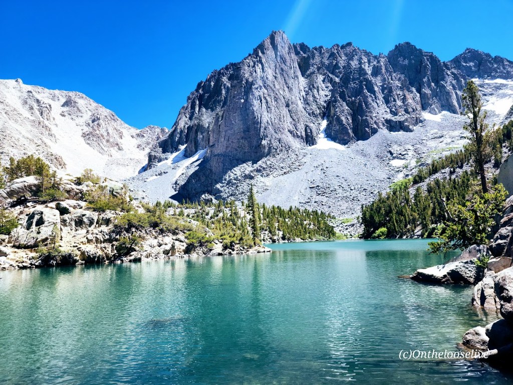
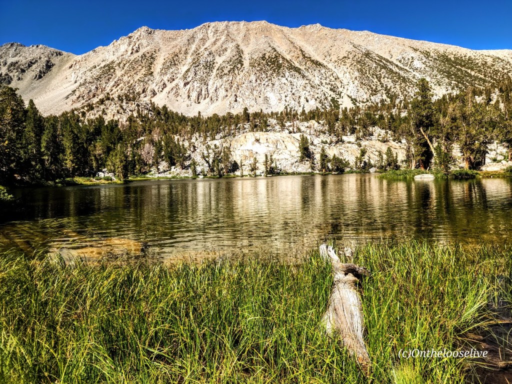
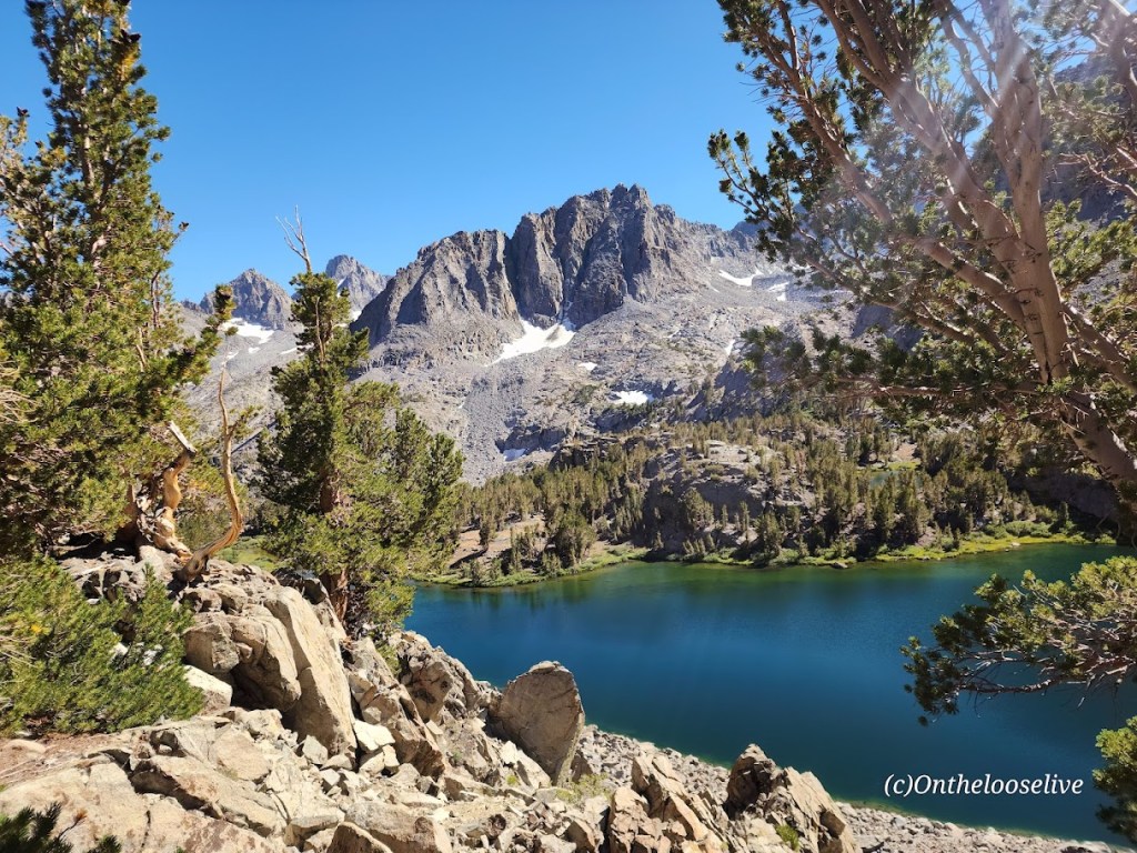
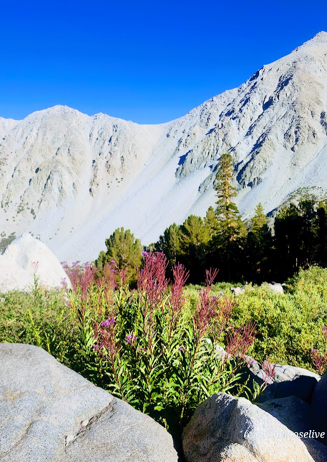
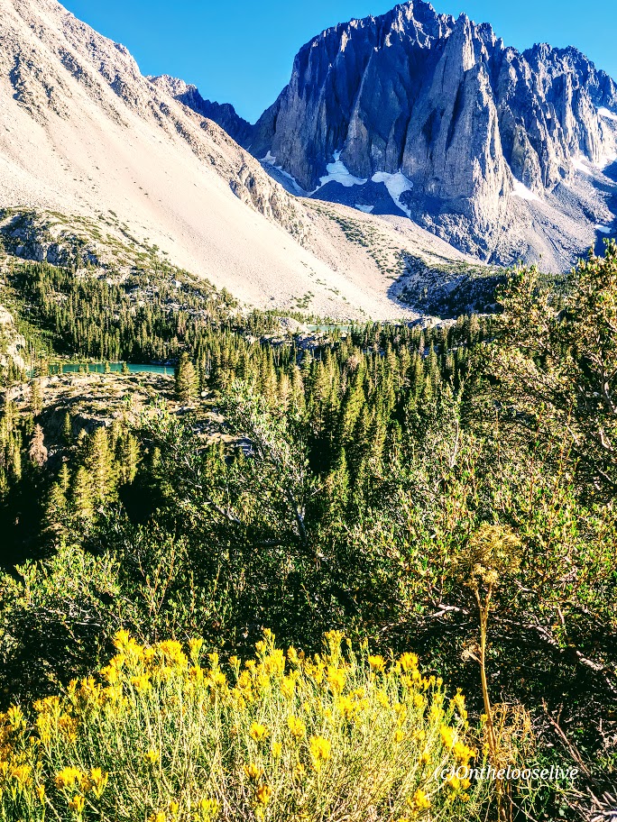
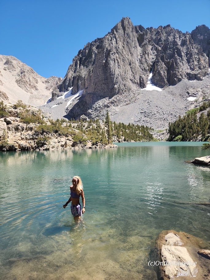
I’m not going to number the lakes for you. You need to go discover them one by one for yourself. Here’s a sampling:
If you fish, you might get as lucky as the fellow who caught and released this big beauty.
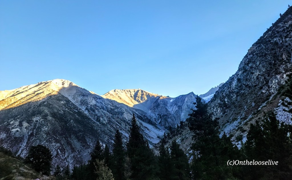
On the Black Lake trail down, we were treated to patches of colorful wildflowers and breathtaking views of the lakes from above.
And there was also time for my yoga pose photobombing and blissful immersion! I vow to return before another decade passes!
And so the sun must set on even the most beloved adventure so another one can begin.
Happy Trails!
Tell me, what trails have you fallen in love with, and do you long to return to?