Summiting Magnificent Mount Timpanogos: Waterfalls, Wildflowers, Wildlife, & Wild Views—Oh my!

Elevation gain:5,384ft

Mileage: ~15 Miles RT

Summit: 11,752ft, the 2nd highest mountain in Utah

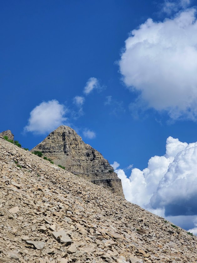
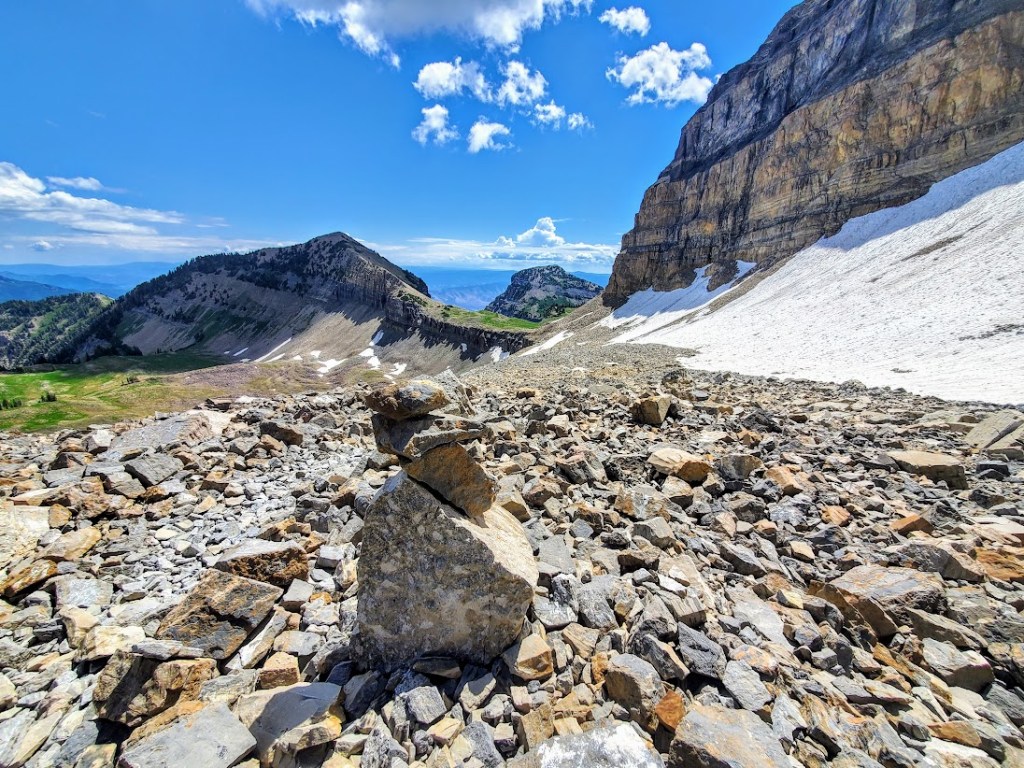
Difficulty: Hard, strenuous – due to altitude, elevation gain, and ~1.5 miles ea way of an unstable, tortuous, talus field

Happened to be in the area and made the spontaneous decision to hike Mount Timpanogos via the Aspen Grove Trailhead. So glad I did. By far, Mount Timp (as the locals call it) is my new, all-time favorite hike / peak. And I’ve done a ton of hiking across the country and around the world. I couldn’t stop smiling all the way to the 11,752-foot summit and back. Ok, maybe my smile was a bit of a grimace through the 1.5 miles back and forth across the treacherous talus strewn avalanche field.  Rest assured, the grimace quickly reverted to ear to ear, exuberant glee once I reached the summit and then again as I descended back down to the lake.

What’s make Mount Timpanogos so wonderful, you ask? Well, the title gave it way, but in case you missed it:

  • Abundant colorful, wildflowers of more varieties than I’ve ever seen
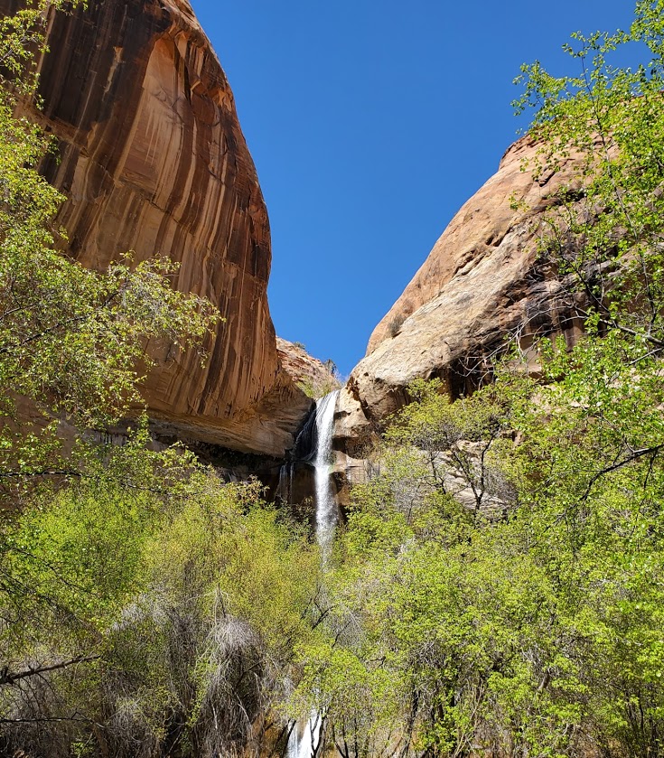
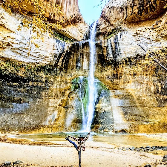
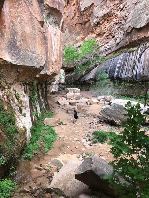
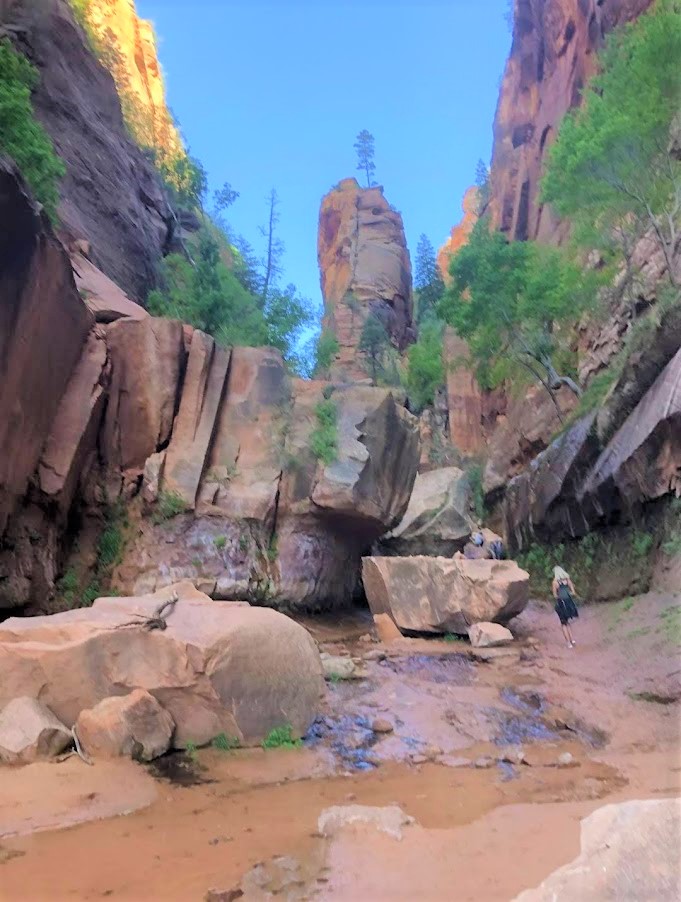
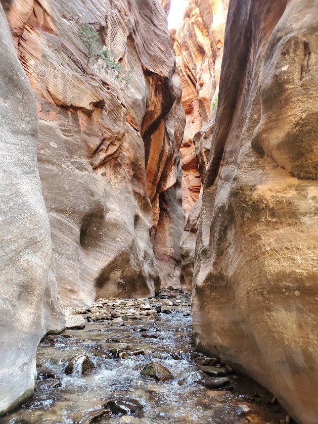
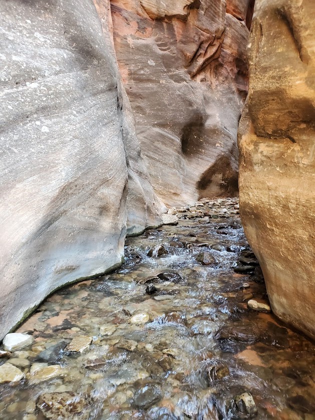
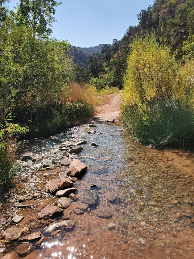
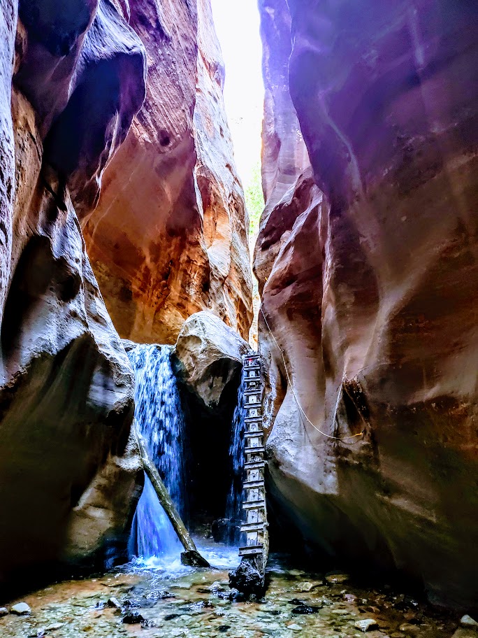
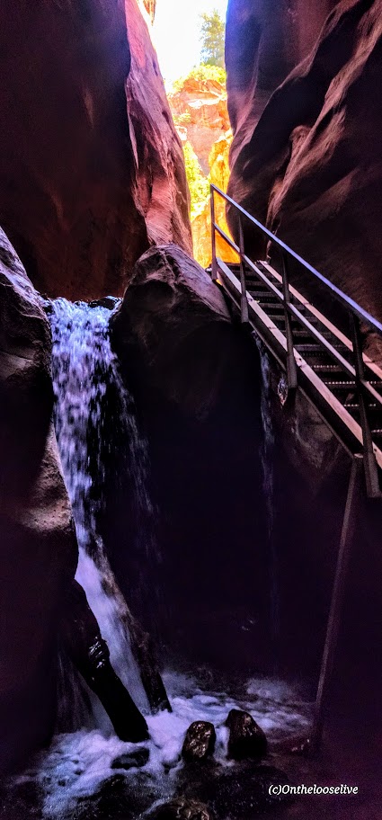
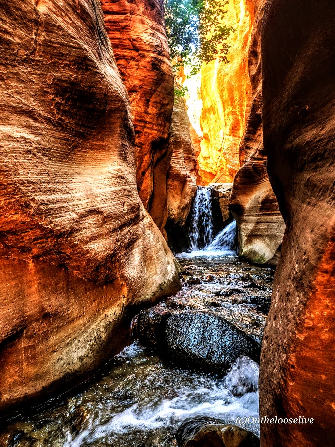
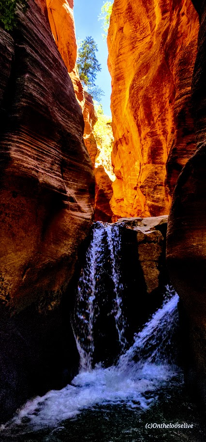
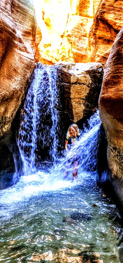
  • Dazzling waterfalls around nearly very switchback
  • Pristine alpine lake and snow field a couple miles from the summit
  • Muscular mountain goats guarding the upper slopes and frolicking by the lake
  • 5,384 ft elevation gain in altitude delivers a fitness challenge and solid workout
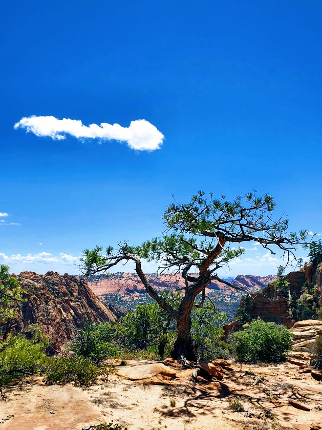
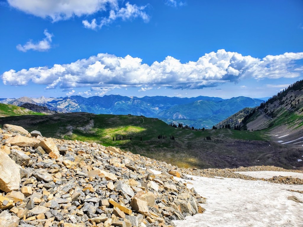
  • Sweeping views of Utah Valley from the saddle and spectacular panoramic views from the summit

This hike had it all—absolutely enchanting.

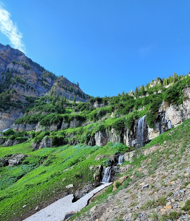
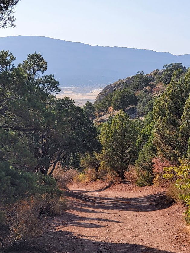
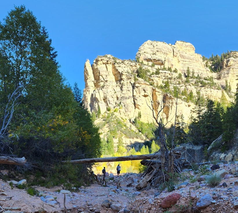
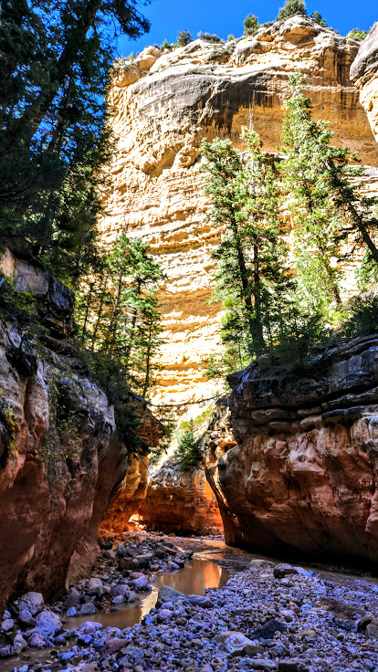
Started the trail in a steady rain, and walked up a verdant paved path for about a mile and a half or so before the pavement gave way to the elements.  Plentiful wildflowers and sparkling waterfalls distracted from the effort of the climb and the sun’s radiance soon highlighted all of the beauty, mist rising. The trail is easy to follow with plenty of switchbacks to help mitigate the elevation gain. It felt almost tropical at times.

The lovely Hidden Lake Basin and Emerald Lake are destinations for many, including the mountain goats.

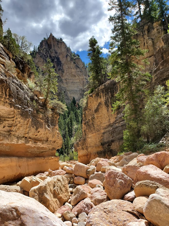
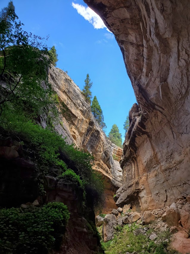
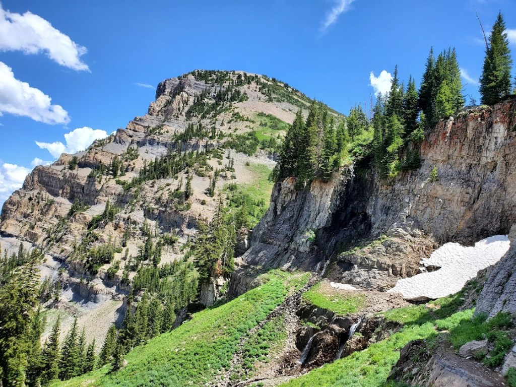
Those who push on beyond the mile and ½ talus torture field and onward and upward still, are well rewarded at the summit.

Pay your respects to the kings of the mountain along the way. If you have good eyesight, you might spy the summit hut from thousands of feet below. It’s a bit daunting and exciting because it seems so far away, almost out of reach.

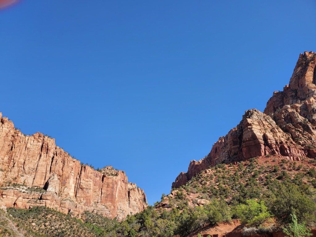
From the summit, you’ll take in dizzying 360 degree views of Utah Valley and Utah Lake to the west, Lone Peak and American Fork Twin Peaks to the north and expansive views everywhere in between.

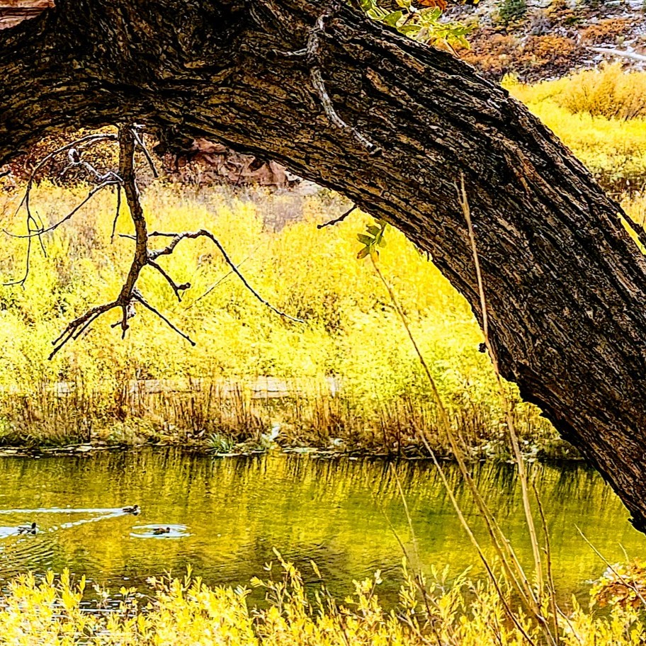
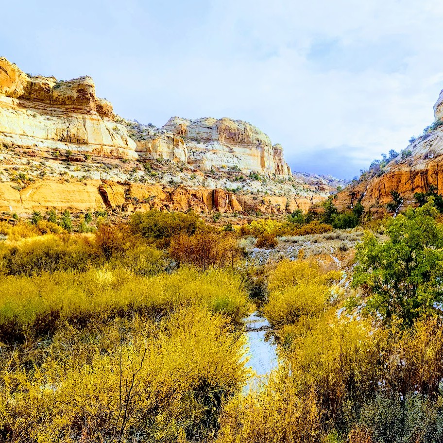
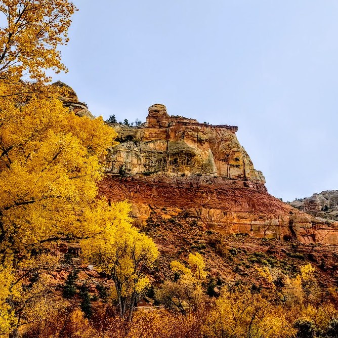
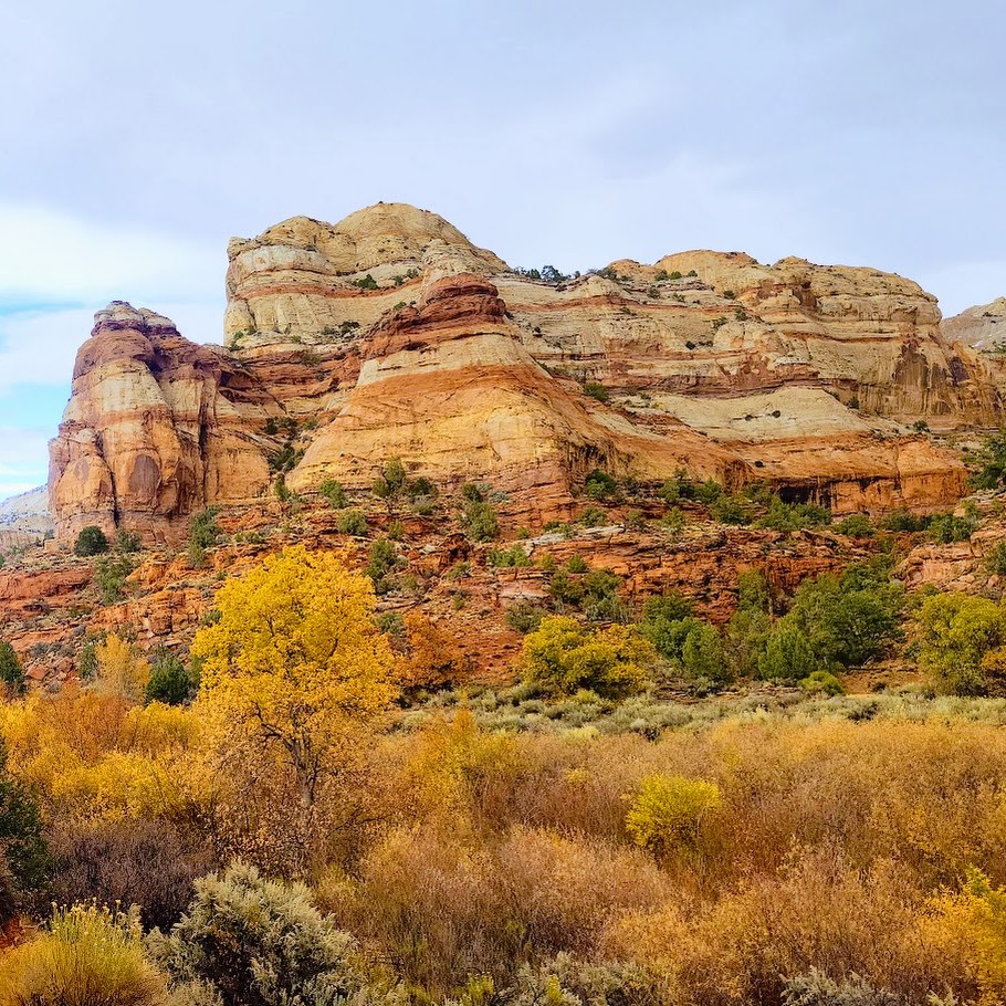
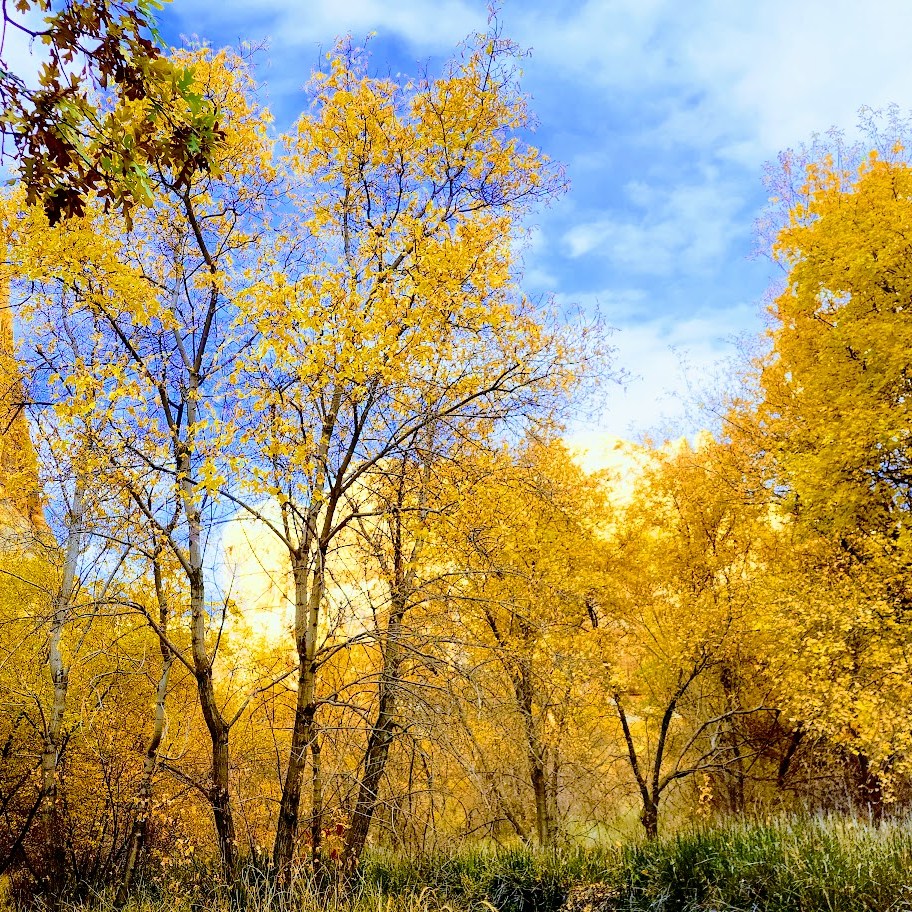
Disclaimer: I experienced Mt. Timp in her July glory. I was told by locals that I wouldn’t recognize her in the Fall when the waterfalls are dry, the wildflowers have disappeared, and the green meadows have turned to yellow hay. Others report that Fall colors are nice here. Someday, perhaps I’ll be back to see for myself. In the meantime, if you’ve been in another season, let me know what it was like.

Notes: I’d say hiking shoes are a must to navigate the talus field. There were some hard core, ultra runners in trail runners. (I know – WOW!) Hiking poles are also a nice to have, given the elevation gain and loss. Layers are always smart at altitude. Be aware of weather changes and avalanche danger.

Getting there: I-15N to Pleasant Grove, exit 275. Follow N County Blvd and UT-92 E to the Aspen Grove Trailhead.

Stay tuned: I’ll be posting the videos soon!

Happy trails!

Lower Calf Falls, Especially Lovely in the Fall! Grand Staircase Escalante, UT

Lovely Lower Calf Falls, Grand Staircase Escalante, UT

Distance: 6 miles

Elevation: ~500 ft

Difficulty: Easy (with a fair amount of thick sand walking)

Highlights: 126-foot cascade into a shallow pool, giant petroglyphs in the distance

I was fortunate to return to Lower Calf Creek Falls in Autumn, and it was spectacular! Traces from the season’s first snow accented the gorgeous Fall colors and seeing the waterfall framed in golden leaves was glorious. So much beauty! And thankfully, with the cold, wet weather, there were only a handful of people on the trail. Can’t imagine a better way to experience this magical place!

As you can see, this amazing gem is definitely worth a visit. Lower Calf Falls cascades over a nearly vertical cliff face into a large pool that is enclosed on three sides by sheer Navajo sandstone walls. Pick up an interpretive pamphlet at the trailhead to learn about the flora along the trail and giant petroglyphs in the distance (too far in the distance to get a good pic).

Summer Slide Show

Without question, Grand Staircase Escalante is National Park caliber and deserves to be preserved and protected. Stay tuned for more posts on this area!

Notes: This is a very popular destination for obvious reasons. Go early / late to avoid the crowds. Off-season in stormy weather will deliver more solitude.

Get the scoop on Upper Calf Creek Falls.

Soapbox: If you bring pets, please pick up their poop! This trail (single track in many spots) and the falls’ area are small and quickly becoming overrun and overused. One fellow watched me watching him after his Labrador left a big poop pile on the trail. He took out a poop bag, and then when I turned away, he tucked the bag back in his pocket and left the steaming pile! ARRRGH! No respect for fellow hikers or nature. They should permit this hike, at least on weekends, and fine those who litter and leave their dog’s poop. Don’t get me started about the imbeciles who bag poop and then leave the full bag. I can’t get my head around people who go somewhere to enjoy nature’s beauty and then defile it.

Getting there: Highway 12 to the BLM-managed Calf Creek Recreation Area. The parking lot has limited parking. Go early, or you may have to park along the highway.

Happy Trails!

Exploring Enchanting Water Canyon—a Multifaceted Gem, Hildale, UT

Length: ~3 Miles roundtrip to the mini waterfall or as long as you’d like to take it, up and over and across the rim.

Difficulty: Moderate+ (To the waterfall is easy, after that, the hike becomes more difficult with elevation gain and a mix of route finding, scrambling, and bouldering. Route finding can be perplexing, if not impossible at the top where it becomes a choose your own adventure experience.)

Elevation gain: 2,208 ft (This only comes into play if you hike beyond the waterfall.)

In the spring, the reward of a short hike (~1.5 miles ea way) is a beguiling, mini waterfall tucked into a slot canyon grotto. Beyond the waterfall, you’ll encounter an interesting, often difficult-to-follow trail that involves some scrambling, bouldering, some exposure, and heights. Not surprisingly, this picturesque canyon is a popular spot for canyoneering. Supposedly you can get to “White Domes” from here, but it’s difficult to ascertain how. I’ll update this post if / when I find a good route to them in the future – cross-country, over the top, or traversing up the rocks from the bottom.

Notes: If you’re in it for the waterfall, early spring is your best bet. The waterfall disappears as the months get hotter and drier. Watch the weather for flash floods. Avoid weekend crowds by going early on a weekday. If you’re going to wander on the rim, I suggest you use GPS or Alltrails, as finding the route back down the canyon can be tricky (understatement). Parking is free.

Getting there: I-15 N to UT-9 E/W State St and UT-59 S to Utah Ave in Hildale. Take Utah Ave to Water Canyon Rd. Follow the dirt road to the parking lot.  

Happy trails!

Kanarra Falls, A Short Hike to Two Wonderfull Waterfalls, Kanarraville, UT

Distance:~4 Miles Roundtrip

Elevation gain: 587

Difficulty: Easy +, though some might find the first 0.8 miles uphill challenging. After that, you’ll need to be mindful about your footing in the stream and on /off ladders and boulders if you attempt them. Know your limitations. It can take 7 hours for a rescue team to get here.

The first section of the trail follows an old access road (approximately 0.8 miles) up into Hurricane Cliffs before wandering into the lower, open sections of the canyon. This wonderful water hike takes you along a gurgling or rushing streambed (depending on the time of year) and into the narrows of the canyon.

At 1.6 miles, you’ll reach the first waterfall.

Update 2024

At the first falls, the previous sketchy 20-foot leaning “ladder” with small metal rungs and no handrails has been replaced with a stable staircase with handrails. Sigh—the thrill is mostly gone, but it is safer and more accessible.

At 1.7 miles you’ll reach the second falls, which requires climbing over a slippery boulder. At 1.9 miles, you’ll reach the last falls and the turnaround point.

I caught some great light on my recent visit. Stay tuned for the videos.

WARNING: Flash floods can occur at any time of year but are most common in the afternoons from July through September.

Notes: Requires a nonrefundable permit for $15 per person. (WORTH IT.) Happy they permit this hike to limit the number of people per day and keep it clean. Unfortunately, they allow a whopping 200 permits a day PLUS large “commercial groups” of up to 20 people per day, which seems excessive (understatement) for this short trail with a single-file staircase, narrow slot sections, and the climb over the boulder. When crowded, it turns into a Disneyland waterpark madhouse with lines and logjams forming in those areas, which can ruin the experience for anyone else stuck behind or between groups.

Pro Tip: Your best bet to enjoy this beautiful area without the noisy hoards is to go early or late in the day on a weekday.

Open from dawn to dusk.

Wear water shoes or running shoes that you don’t mind getting wet. In my opinion, no need for poles.

No dogs. There are bathrooms at the trailhead.

Getting there: From Cedar City, take 1-15 South and then exit at 51, Kanarraville (if you’re coming from the south, on I-15, take exit 42). Either way, go east on 100 North, drive to the end of the road and the trailhead parking lot.

My happy place!

Happy Trails!

LEAVE NO TRACE.

Ashdown Gorgeous: Chasing Waterfalls

Distance: ~7-9+ miles RT (Length depends upon how high the water is running and how many crossings are needed)

Elevation gain: ~700-1k FT Gradual Gain

Difficulty: Not technically difficult, but not for tenderfoots either. Teva or Keen style water shoes, old trail runners, or waterproof hikers are highly recommended as you are constantly in and out of the creek and the terrain is all rock, all the time. There is a wonderful payoff for those who persevere.

Spoiler alert:

Ashdown Gorge Trail is an out and back, slot canyon trail that follows a rocky, turquoise creek as it flows under overhangs and between shear limestone cliffs. The views are spectacular and dizzying at times.

This is a refreshing hike with plenty of opportunities to cool off. If you’re hiking on a cool day, the water crossings can be chilly.I hiked it a couple weeks ago and jumped into a little pool. This time, Labor Day weekend, it was too chilly for me to dunk in under the falls. Low temps in the area are dropping into the 30s next week.

Notes: At mile 3.5, the creek/trail forks. (It’s easy to miss if you aren’t paying attention.)  Take the trail to the left to discover the 2 wonderful waterfalls of Lake Creek and Rattlesnake Creek (adds 2 miles roundtrip). Stay straight to experience the slot canyon cracking open to the big sky of the gorge. Be prepared for weather, and don’t attempt this hike if there is rain in the forecast as there’s the danger of flash floods.

Photo update from September 2022. Leaves beginning to change. Ashdown Gorge never disappoints.

Happy Trails!

Tip: Post hike libations and sustenance at Don Miquel’s or the Centro Woodfired Pizzeria in Cedar City highly recommended.

Getting there: 15N to exit 57 to UT-130 to UT 14E UT (about 15 minutes form Cedar City) You can access the trail via the large pullout area along the 14 or via the Rattlesnake Trail, Crystal Springs / Potato Hollow Trail.