
Distance: ~7-9+ miles RT (Length depends upon how high the water is running and how many crossings are needed)
Elevation gain: ~700-1k FT Gradual Gain
Difficulty: Not technically difficult, but not for tenderfoots either. Teva or Keen style water shoes, old trail runners, or waterproof hikers are highly recommended as you are constantly in and out of the creek and the terrain is all rock, all the time. There is a wonderful payoff for those who persevere.
Spoiler alert:
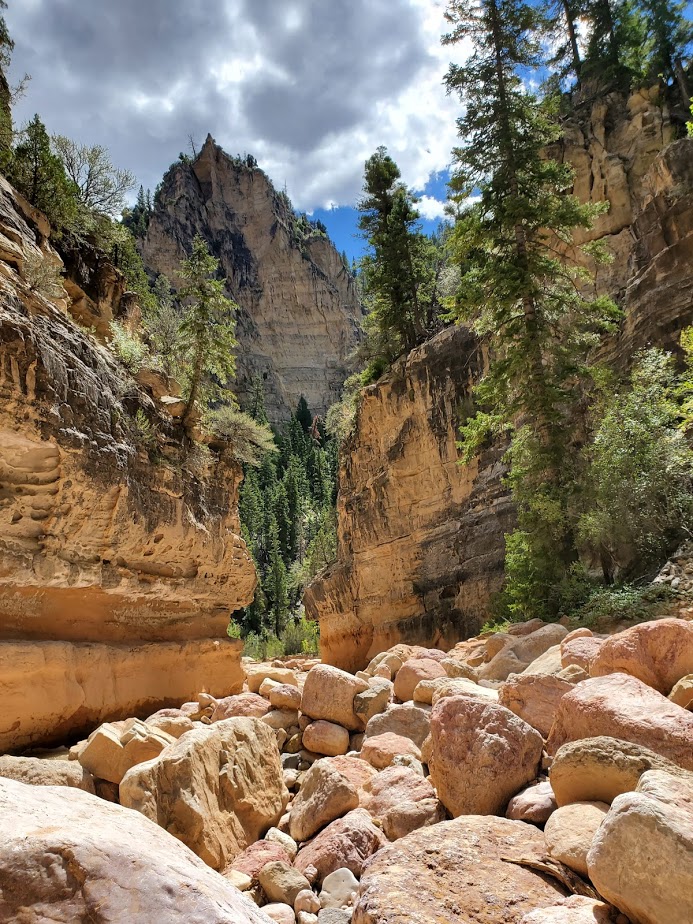
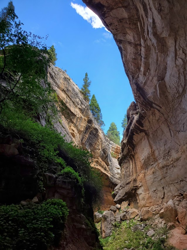
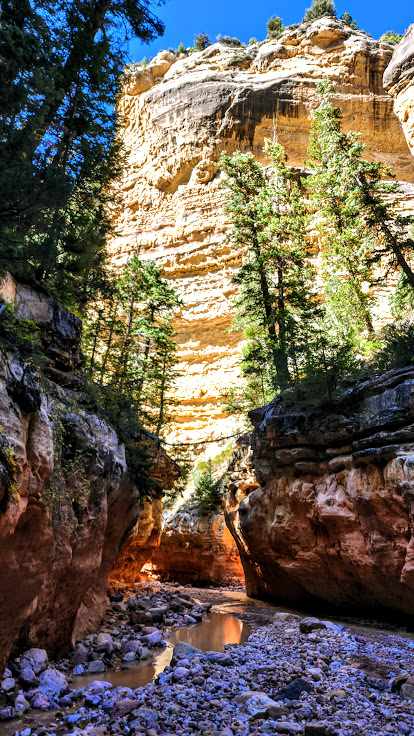
Ashdown Gorge Trail is an out and back, slot canyon trail that follows a rocky, turquoise creek as it flows under overhangs and between shear limestone cliffs. The views are spectacular and dizzying at times.


This is a refreshing hike with plenty of opportunities to cool off. If you’re hiking on a cool day, the water crossings can be chilly.I hiked it a couple weeks ago and jumped into a little pool. This time, Labor Day weekend, it was too chilly for me to dunk in under the falls. Low temps in the area are dropping into the 30s next week.

Notes: At mile 3.5, the creek/trail forks. (It’s easy to miss if you aren’t paying attention.) Take the trail to the left to discover the 2 wonderful waterfalls of Lake Creek and Rattlesnake Creek (adds 2 miles roundtrip). Stay straight to experience the slot canyon cracking open to the big sky of the gorge. Be prepared for weather, and don’t attempt this hike if there is rain in the forecast as there’s the danger of flash floods.
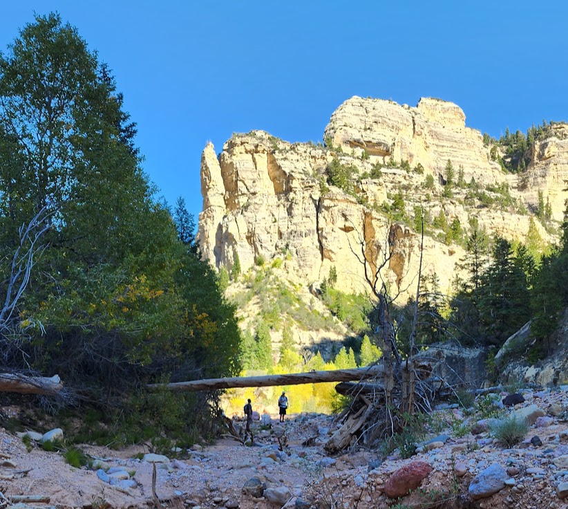
Photo update from September 2022. Leaves beginning to change. Ashdown Gorge never disappoints.


Happy Trails!


Tip: Post hike libations and sustenance at Don Miquel’s or the Centro Woodfired Pizzeria in Cedar City highly recommended.
Getting there: 15N to exit 57 to UT-130 to UT 14E UT (about 15 minutes form Cedar City) You can access the trail via the large pullout area along the 14 or via the Rattlesnake Trail, Crystal Springs / Potato Hollow Trail.


")

")
