
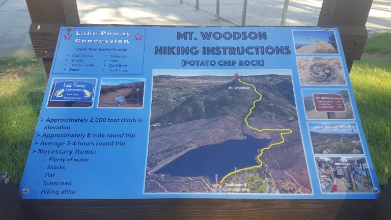
Distance: 7.5 Elevation: 2070 feet
Difficulty: Moderate + (Depends on your fitness level and the weather (heat/sun factor)
No, the featured image is not Potato Chip Rock. It’s some cool unnamed split rock along the top of the trail with a great view out to the rocky playground below and Lake Romona.
If you’re looking for solitude, you won’t find it here. This is one of the most popular hikes in San Diego because of the iconic Potato Chip Rock and obligatory photo op at the top.
Spoiler alert.

The trail starts at Lake Poway and leads you up a fire road for a mile or so before it narrows and steepens.

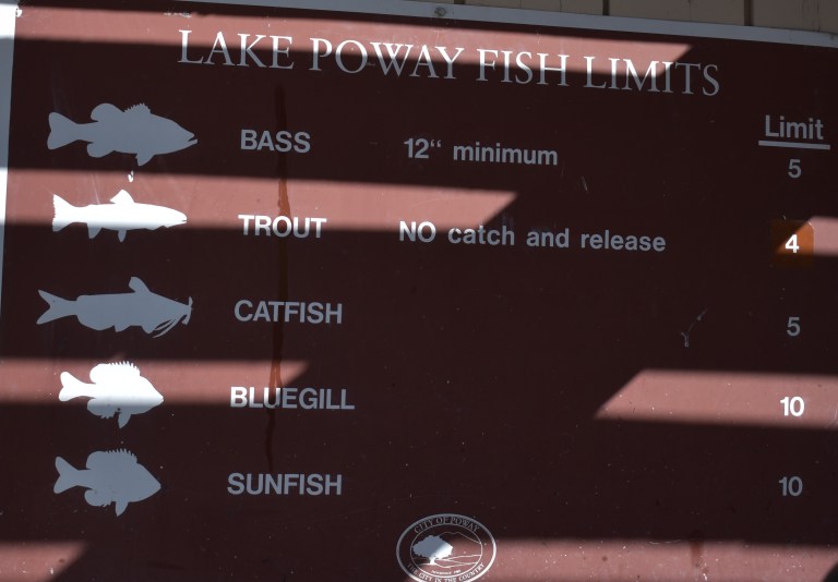
And the answer is yes, you can fish in Lake Poway. Sadly, swimming is not allowed.
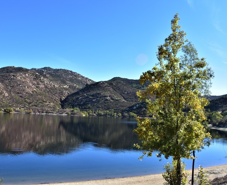
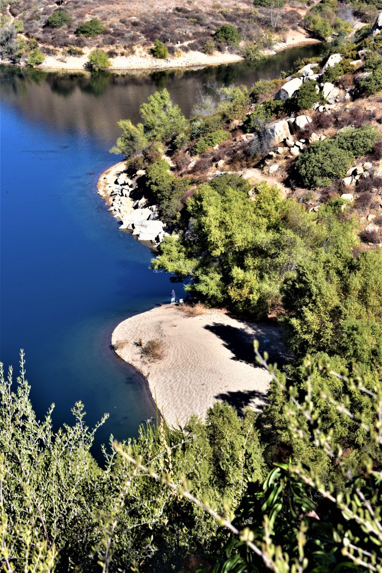
The view of the lake is lovely from the trail above. You can see how clean and clear the water is.
The view from the top depends on how clear of a day it is. Unfortunately, it was a bit hazy, In the picture below, you can make out Point Loma and the Pacific in the distant horizon on the right and the high rises of San Diego to the left of it.
.

So yes, lots of highlights and a great workout. (I hike fast and made it up in an hour and 15min – down in 1hour 5.min.) The downhill gets my knees. There were a number of people using poles. The downside of this hike is way too many humans, but what do you expect from a cool hike near a city? If I ever do it again, I’m going for dawn patrol. The parking lot opens at 6AM for early birds who enjoy more solitude and sunrises.
Because this hike didn’t quite sate my appetite for nature and solitude, after lunch I went up the road to the Blue Sky Ecological Reserve and hiked up to Lake Ramona.


